The best mountain hikes around Auenwald
9
hikers
6
hikes
Mountaineering routes around Auenwald traverse a landscape characterized by dense woodlands, rolling hills, and river valleys within the Rems-Murr-Kreis. The region features moderate elevation changes, with routes often following natural watercourses and offering views of the surrounding Swabian-Franconian Forest. These trails provide opportunities for varied mountaineering experiences, from forest paths to open clearings.
Best mountaineering routes around Auenwald
- The most popular mountaineering route is Wieslauf Gorge Waterfall – Ebnisee loop from Wieslaufschlucht und Edenbachschlucht, a 8.0 miles (12.8 km) trail that takes 3 hours 29 minutes to complete. This route explores the scenic Wieslauf Gorge and leads to the Ebnisee.
- Another top favourite among local mountaineers is Ebnisee – Wieslauf Gorge Waterfall loop from Althütte, a moderate 8.9 miles (14.3 km) path. This trail offers a longer exploration of the Ebnisee area and the Wieslauf Gorge.
- Local mountaineers also love the Hagerwald Lake – Brunnenklinge Sandstone Gorge loop from Kaisersbach, a 8.0 miles (12.9 km) trail leading through varied forest and gorge landscapes, often completed in about 3 hours 28 minutes.
- Mountaineering around Auenwald is defined by dense woodlands, tranquil lakes, and sandstone gorges, offering a mix of forest paths and open sections. The network provides options for different ability levels, including several circular mountaineering routes.
- The guide includes highly-rated routes that showcase the best of the region's landscape. More than 10 mountaineers have used komoot to explore Auenwald's varied terrain.
Last updated: August 11, 2026
2
hikers
Moderate mountaineering route. Good fitness required. Easily-accessible paths. Suitable for all skill levels.
2
hikers
14.1km
03:48
180m
180m
Moderate mountaineering route. Good fitness required. Easily-accessible paths. Suitable for all skill levels.

Sign up for free
2
hikers
12.9km
03:29
160m
160m
Moderate mountaineering route. Good fitness required. Easily-accessible paths. Suitable for all skill levels.
1
hikers
Moderate mountaineering route. Good fitness required. Easily-accessible paths. Suitable for all skill levels.
2
hikers
12.7km
03:33
230m
230m
Moderate mountaineering route. Good fitness required. Easily-accessible paths. Suitable for all skill levels.
Our route recommendations are based on thousands of hikes, rides, and runs completed by other people on komoot.
Start today with a free account
Your next adventure awaits.
Login or Signup
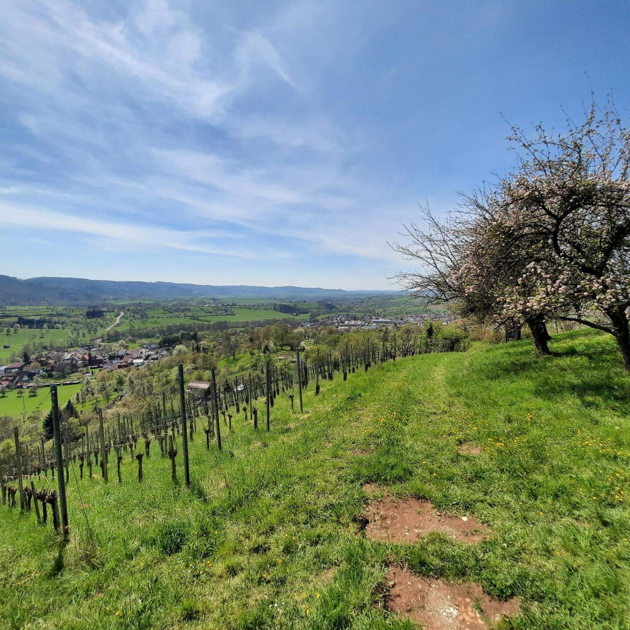
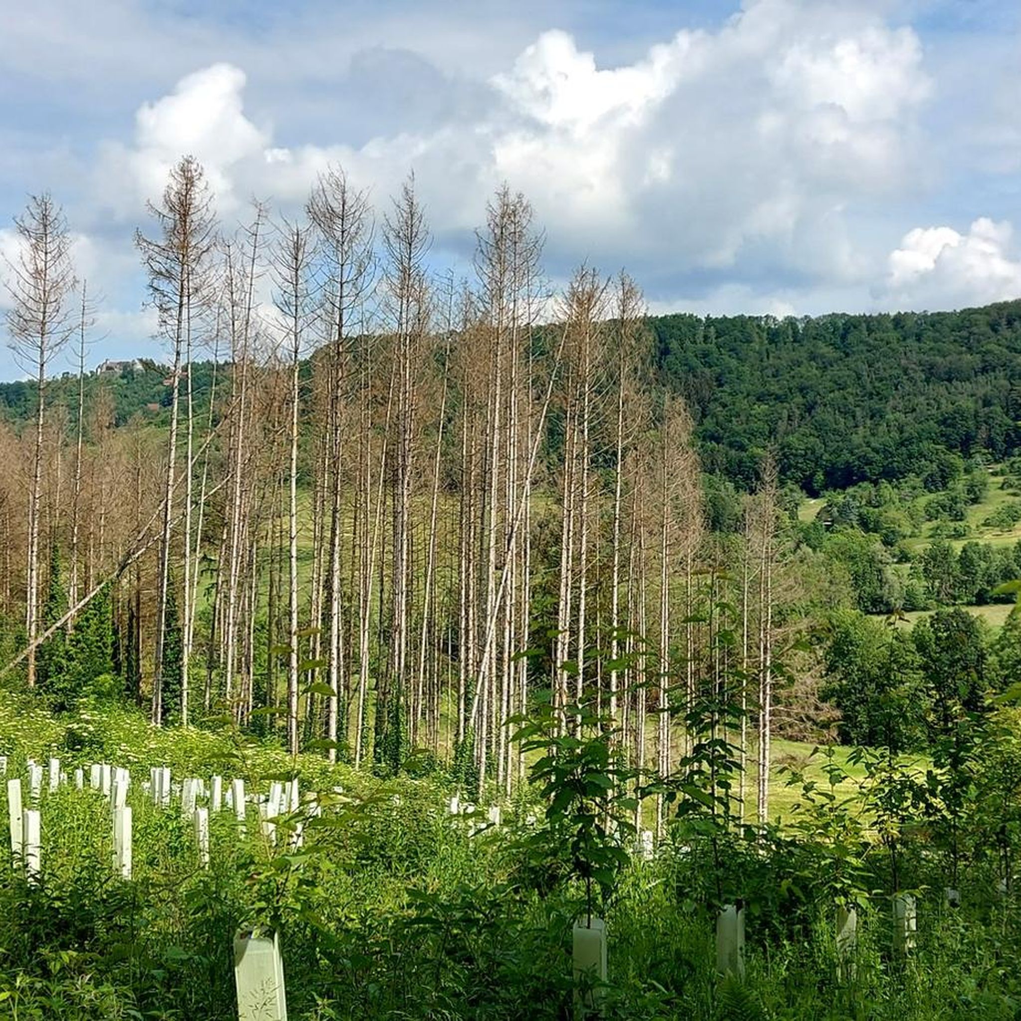
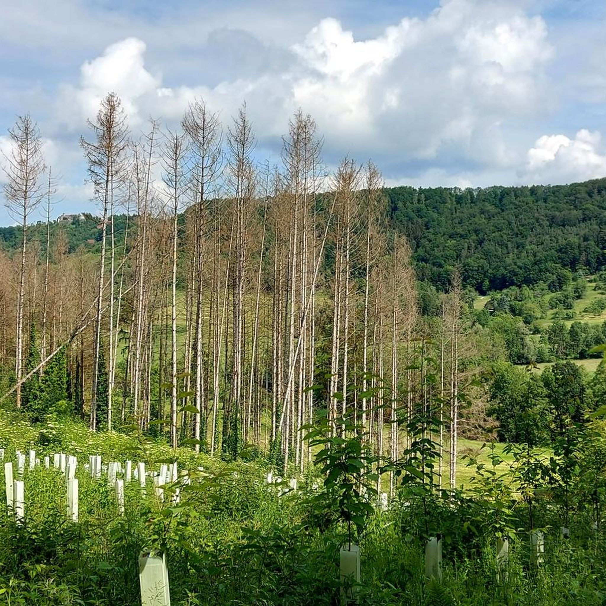
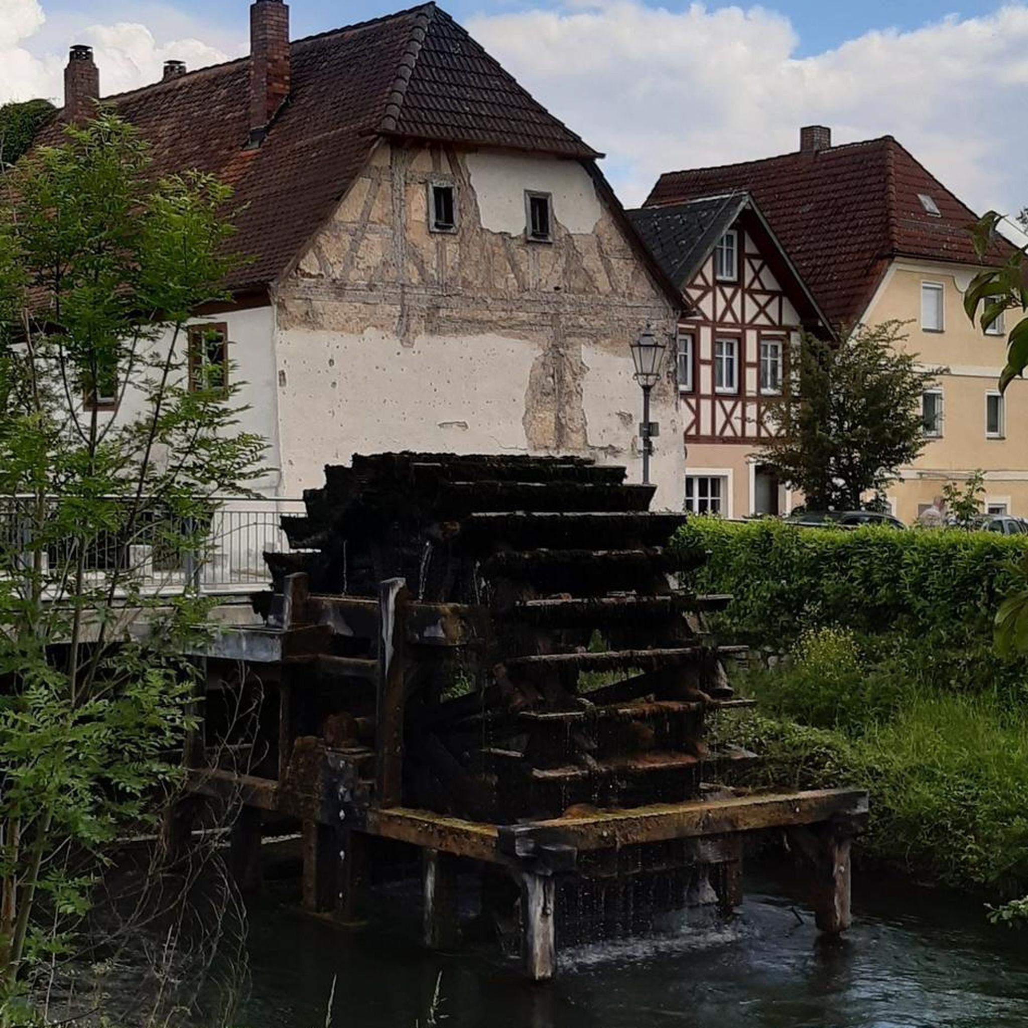
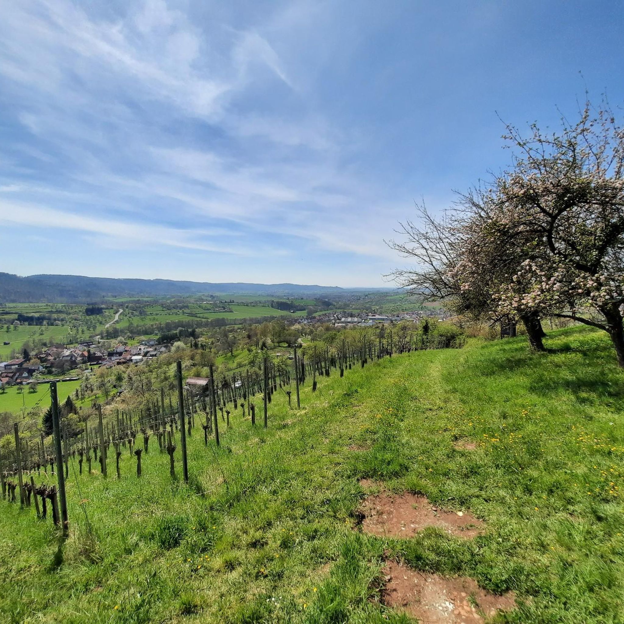
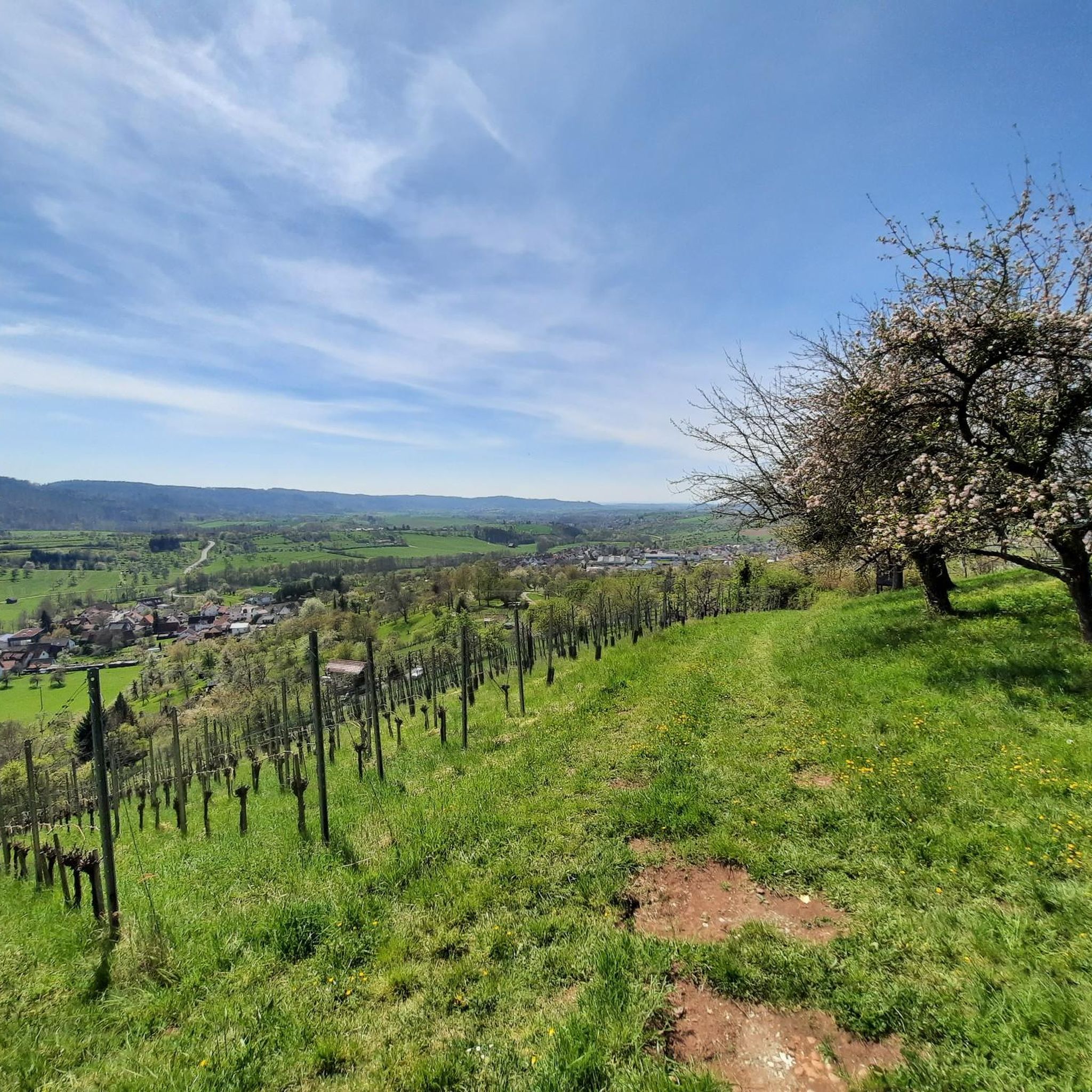
Tips from the Community

From here, visitors can rent rowboats, pedal boats, and small electric boats to experience the lake from a peaceful, nature-close perspective.
6
0

Well-known routes such as the Schützenhausweg circular hiking trail or extensive tours over the nearby Haube lead over the hill and through the Käsbühlstraße of the same name. A playground on Käsbühlstraße serves as a landmark for families.
0
0

Good to know if the "juice" runs out
0
0
The telecommunications tower is located on the Hohe Brach, the highest point in the Rems-Murr district, between the villages of Erlach and Grab in the municipality of Großerlach. The tower itself is 133 meters high, with its summit reaching a total elevation of over 719 meters above sea level. Visitor Information Accessibility: Unfortunately, entering the telecommunications tower is not permitted; there is no publicly accessible viewing platform. Reaching the Tower: The tower is very impressive from below and can be a worthwhile destination for a trip to the Hohe Brach. The area is very secluded and situated in the forest, which ensures clean air. Accessibility: ...
0
0

Charging station for e-bikes
0
0
Bicycle service station
0
0


In the drained lake you can see the sandbank as a hill
0
1
Frequently Asked Questions
How many mountaineering routes are available around Auenwald?
There are currently 6 curated mountaineering routes around Auenwald, offering a variety of experiences through dense woodlands, rolling hills, and river valleys.
Are there any easy mountaineering routes suitable for beginners in Auenwald?
Yes, Auenwald offers routes suitable for beginners. While most are moderate, there is at least one easy route available, making it accessible for those new to mountaineering. The region's moderate elevation changes are generally manageable.
What kind of natural attractions can I expect to see along the mountaineering routes?
Auenwald's mountaineering routes often feature natural highlights such as the scenic Wieslauf Gorge and the tranquil Ebnisee. You might also encounter sandstone gorges, dense forests, and open clearings offering views of the Swabian-Franconian Forest.
Are there any circular mountaineering routes in the Auenwald area?
Yes, many of the mountaineering routes in Auenwald are circular, allowing you to start and end at the same point. An example is the Wieslauf Gorge Waterfall – Ebnisee loop, which takes you through varied landscapes.
What is the typical duration for a mountaineering route in Auenwald?
The duration of mountaineering routes in Auenwald varies, but many fall within a 3 to 4-hour range. For instance, the Hagerwald Lake – Brunnenklinge Sandstone Gorge loop is typically completed in about 3 hours and 28 minutes.
Are there any routes that pass by historical landmarks or viewpoints?
Yes, some routes offer glimpses of historical or notable landmarks. For example, the Limes Watchtower on Heidenbuckel loop includes a historical watchtower and passes by the Hohe Brach Transmission Tower, offering interesting points of interest along the way.
What do other mountaineers enjoy most about the Auenwald routes?
Mountaineers often praise the varied terrain, which includes a mix of forest paths and open sections, as well as the tranquil lakes and sandstone gorges. The region's natural beauty and well-maintained trails are frequently highlighted by the komoot community.
Can I find routes that explore the Ebnisee area more extensively?
Absolutely. If you wish to explore the Ebnisee area in more depth, consider the Ebnisee – Wieslauf Gorge Waterfall loop from Althütte. This route offers a longer exploration of the lake and the Wieslauf Gorge.
Are there any routes that lead to huts or places to rest?
Yes, some routes incorporate huts or similar resting points. The Kasbühl Hut loop from Seegut-Semmlersberg is an example of a route that includes a hut, providing a potential stop during your mountaineering trip.
What is the best time of year for mountaineering in Auenwald?
The region's dense woodlands and moderate climate make it suitable for mountaineering throughout much of the year. Spring and autumn offer pleasant temperatures and vibrant scenery, while summer provides longer daylight hours. Winter mountaineering is also possible, though conditions may vary.
Are there opportunities for wildlife spotting on the trails?
Given the dense woodlands and natural river valleys characteristic of the Rems-Murr-Kreis, there are opportunities for wildlife spotting. Keep an eye out for local fauna, especially in quieter sections of the trails and near water sources.
Are the mountaineering routes in Auenwald generally well-marked?
The routes in Auenwald are part of a well-established network of trails. While specific marking can vary, komoot users generally find the paths clear and easy to follow, especially with the aid of digital navigation.
Most popular routes around Auenwald
Most popular attractions around Auenwald

Get inspired with the komoot mobile app


Explore more
Browse the best Mountain Hikes & Routes in other regions.
