The best mountain hikes around Waldbach-Mönichwald
4.8
(5)
128
hikers
12
hikes
Mountaineering routes around Waldbach-Mönichwald are characterized by the prominent peaks of Hochwechsel and Stuhleck, offering diverse landscapes within the Styrian region. The area features a mix of forested slopes, alpine meadows, and open mountain terrain, with elevations reaching over 1,700 meters. Natural features like the Romai Waterfall and various mountain huts, known as "Schwaigen," are integrated into the network of trails. The region provides varied conditions for mountaineering, from extensive hikes to more challenging ascents.
Best mountaineering routes around Waldbach-Mönichwald
…Last updated: July 2, 2026
5.0
(1)
18
hikers
7.61km
02:48
460m
460m
Moderate mountaineering route. Good fitness required. Mostly accessible paths. Sure-footedness required.
16
hikers
Moderate mountaineering route. Good fitness required. Mostly accessible paths. Sure-footedness required.

Sign up for free
4.0
(1)
9
hikers
Moderate mountaineering route. Good fitness required. Mostly accessible paths. Sure-footedness required.
11
hikers
22.6km
07:05
870m
870m
Hard mountaineering route. Very good fitness required. Easily-accessible paths. Suitable for all skill levels.
5.0
(1)
9
hikers
Moderate mountaineering route. Good fitness required. Easily-accessible paths. Suitable for all skill levels.
Get access to more routes and recommendations from other explorers.
Sign up for free
Already have an account?
Our route recommendations are based on thousands of hikes, rides, and runs completed by other people on komoot.
Start today with a free account
Your next adventure awaits.
Login or Signup
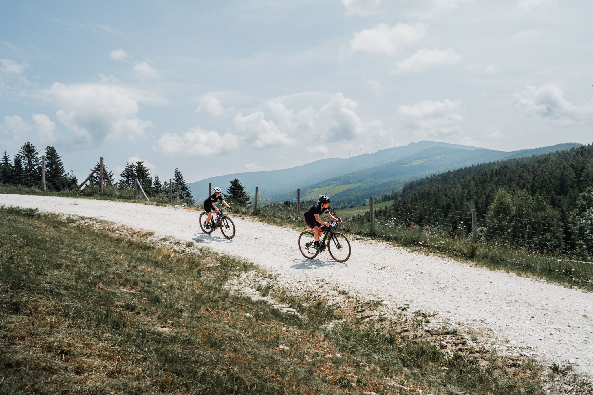
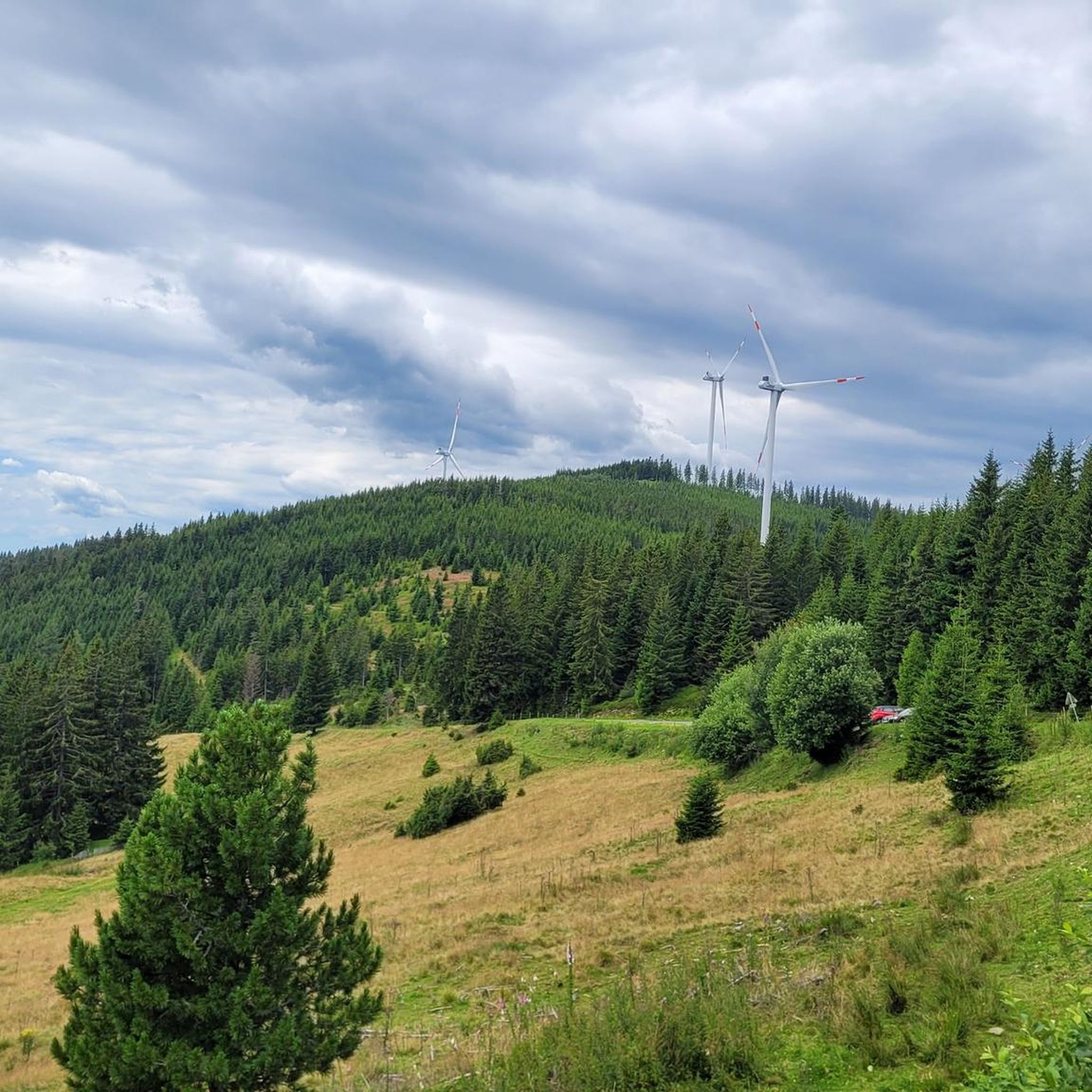
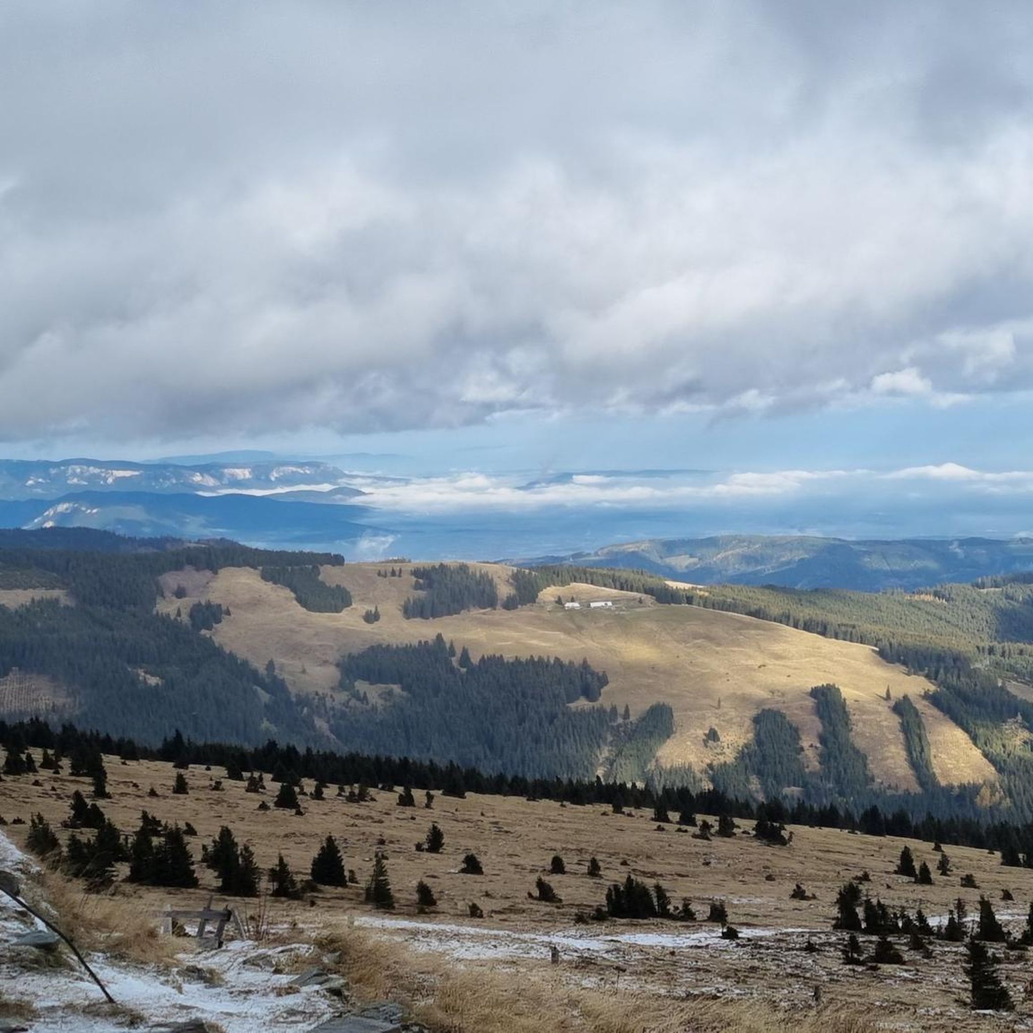
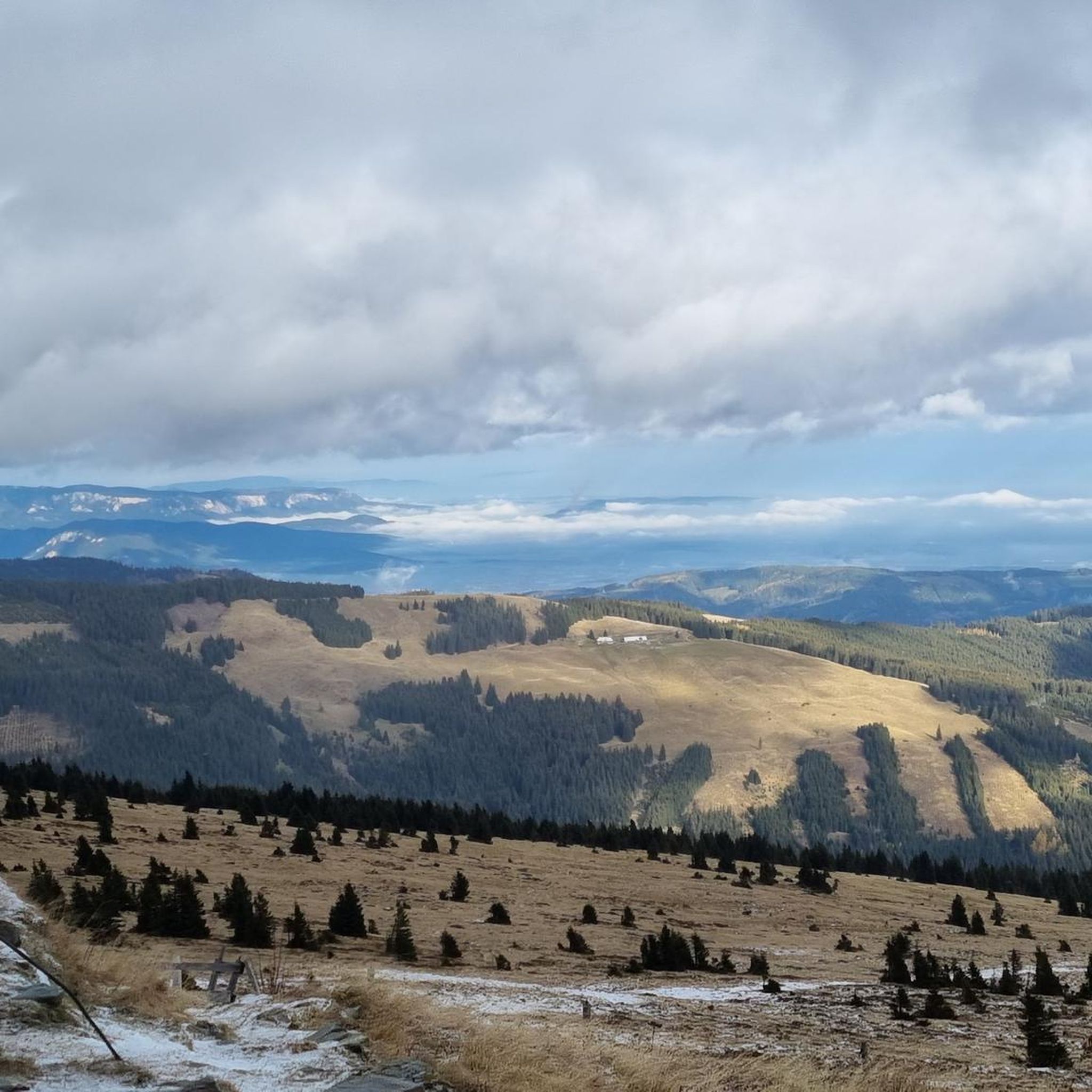
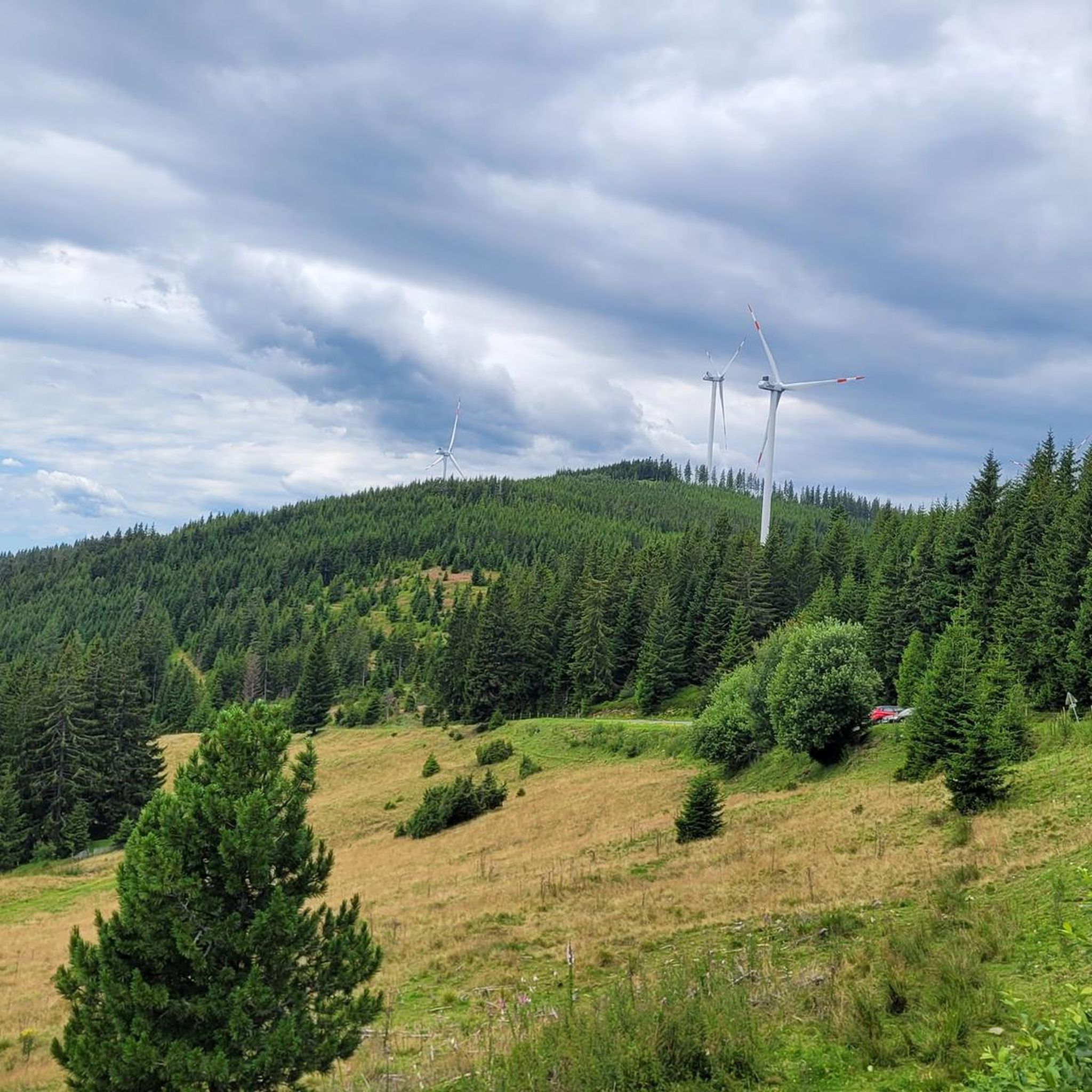

Other adventures around Waldbach-Mönichwald

Tips from the Community

A highlight you have to do once
3
0
Many visitors erect their stone sculptures here.
4
0
Beautiful cross at the summit, Alois Günther mountain hut
4
0

Highest point of the Fischbach Alps! Magnificent views of Schneeberg, Rax, Schneeakpe, Veitsch, Hochschwab, Hochwechsel, Sonnwendstein and Hochlantsch.
0
0
Nice place to take a break
3
0

Beautiful location, good place to stop for a break, right next to the mountain bike trails and the start of the "Haller Trail".
0
0
Great view, challenging to drive, really fun
4
0
Great view, challenging to drive
4
0
Frequently Asked Questions
How many mountaineering routes are available in Waldbach-Mönichwald?
Waldbach-Mönichwald offers a diverse selection of over 10 mountaineering routes. These range from moderate ascents to more challenging, longer tours, providing options for various skill levels.
Are there mountaineering routes suitable for beginners or families in Waldbach-Mönichwald?
Yes, the region provides options for different ability levels. While many routes involve significant elevation, some are considered moderate and can be suitable for those with good basic fitness. For example, the Pfaffensattel Pass Parking – Alois-Günther-Haus loop from Pfaffensattel is a moderate route leading to a mountain house.
What kind of challenges can advanced mountaineers expect in Waldbach-Mönichwald?
Advanced mountaineers will find several challenging routes, often involving longer distances and significant elevation gains. Tours like the Hallerhaus Mountain Lodge – Vorauer Schwaig Alm loop from Mönichkirchen, spanning 22.6 km with substantial ascent, offer a demanding experience through varied alpine terrain.
What natural features or landmarks can I expect to see on mountaineering routes in Waldbach-Mönichwald?
The routes often feature prominent peaks like Hochwechsel and Stuhleck, offering breathtaking panoramic views. You might encounter natural monuments such as the Romai Waterfall, or visit the picturesque Chapel and summit cross on the Hochwechsel. The region also boasts the engaging Wiedner's Wasserspiele in Waldbach and the historic Festenburg.
Are there mountain huts or refreshment stops along the trails?
Absolutely. The region is known for its numerous alpine huts, locally called "Schwaigen," which offer hearty Styrian snacks. Notable stops include the Hallerhaus Mountain Lodge, the cozy Arzberghütte on Arzberg, and the Wetterkogler House on Hochwechsel, providing excellent opportunities for refreshment during your hike.
Can I find routes that offer panoramic views?
Yes, many routes in Waldbach-Mönichwald are renowned for their stunning vistas. The summits of Hochwechsel and Stuhleck, in particular, provide indescribable panoramas stretching across the entire Wechsel region, sometimes even to Burgenland and Hungary. The Hochwechsel Summit – Chapel on Hochwechsel loop from Katastralgemeinde Neustift am Alpenwald is a great option for panoramic views.
When is the best time of year for mountaineering in Waldbach-Mönichwald?
The region is excellent for outdoor activities throughout the year. For mountaineering, late spring to early autumn (May to October) generally offers the most favorable conditions with pleasant temperatures and clear trails. In winter, the area transforms into a winter sports destination, with opportunities for winter hiking and cross-country skiing, though specific mountaineering conditions may vary.
Are there public transport options to reach the trailheads?
While specific public transport details for every trailhead are not provided, Waldbach-Mönichwald is generally accessible. It's advisable to check local bus schedules or regional transport services for connections to the main villages or starting points of the tours.
Where can I find parking for mountaineering routes in Waldbach-Mönichwald?
Many popular trailheads, such as Pfaffensattel Pass, offer designated parking areas. For instance, the Pfaffensattel Pass Parking – Alois-Günther-Haus loop starts directly from a parking location. It's common for mountain huts and popular starting points to have parking facilities available for hikers.
What do other mountaineers appreciate about the routes in Waldbach-Mönichwald?
The routes in Waldbach-Mönichwald are highly rated by the komoot community, with an average score of 4.8 stars. Mountaineers often praise the diverse landscapes, from forested slopes to open alpine terrain, the well-maintained paths, and the stunning panoramic views from peaks like Hochwechsel. The numerous refreshment stops at mountain huts are also a highlight for many.
Are there any circular mountaineering routes in the region?
Yes, Waldbach-Mönichwald offers several circular routes, allowing you to start and end your journey at the same point. A popular example is the Trail Sign at Hochwechsel – Hochwechsel Trail Sign loop from Waldbach-Mönichwald, which provides a comprehensive experience of the area's natural beauty.
Are there any routes that pass by waterfalls or lakes?
Yes, the region is home to natural attractions like the Romai Waterfall, which adds a scenic element to some routes. For summer refreshment, the leisure lake in Mönichwald and the organic swimming pool in Waldbach, fed by Hochwechsel spring water, are family-friendly spots that can be enjoyed after a hike.
Most popular routes around Waldbach-Mönichwald
Most popular attractions around Waldbach-Mönichwald

Get inspired with the komoot mobile app


Explore more
Browse the best Mountain Hikes & Routes in other regions.
