The best mountain hikes around Oberkappel
5.0
(1)
28
hikers
3
hikes
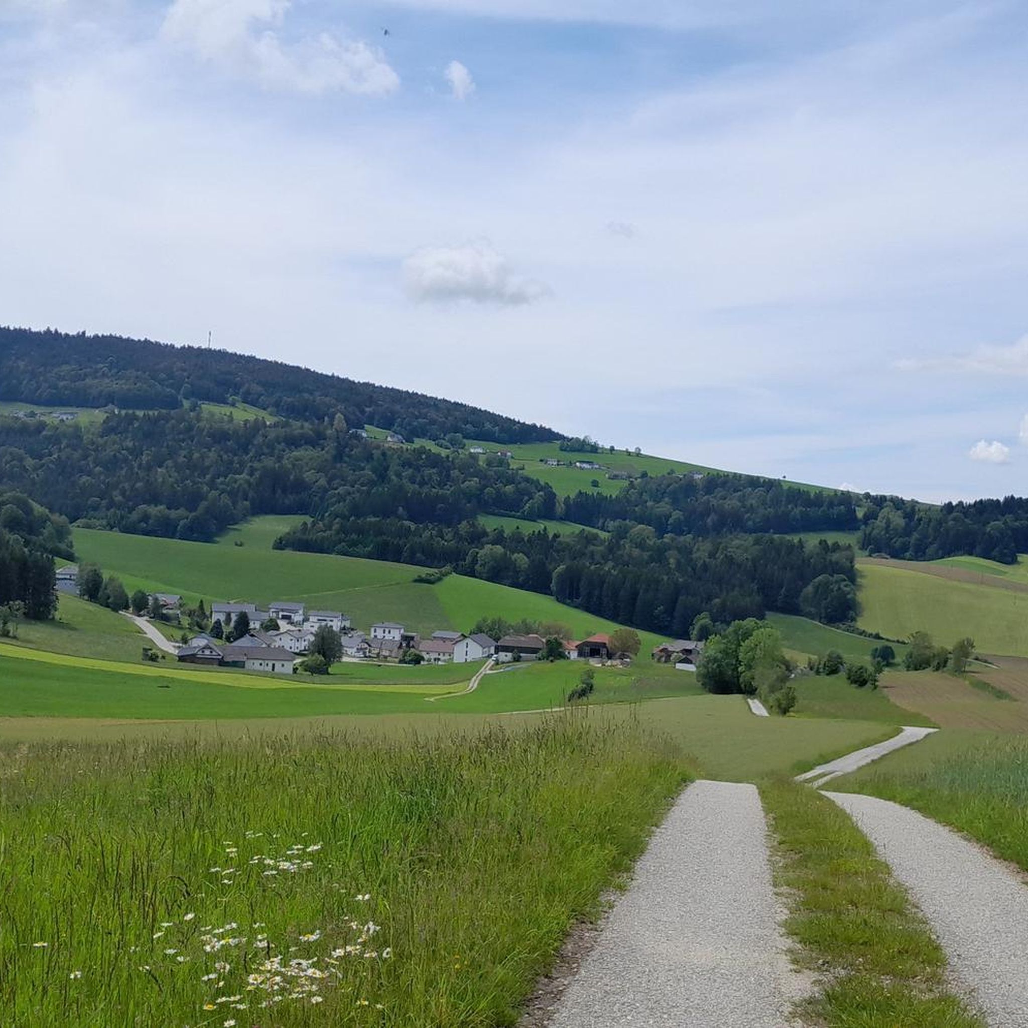
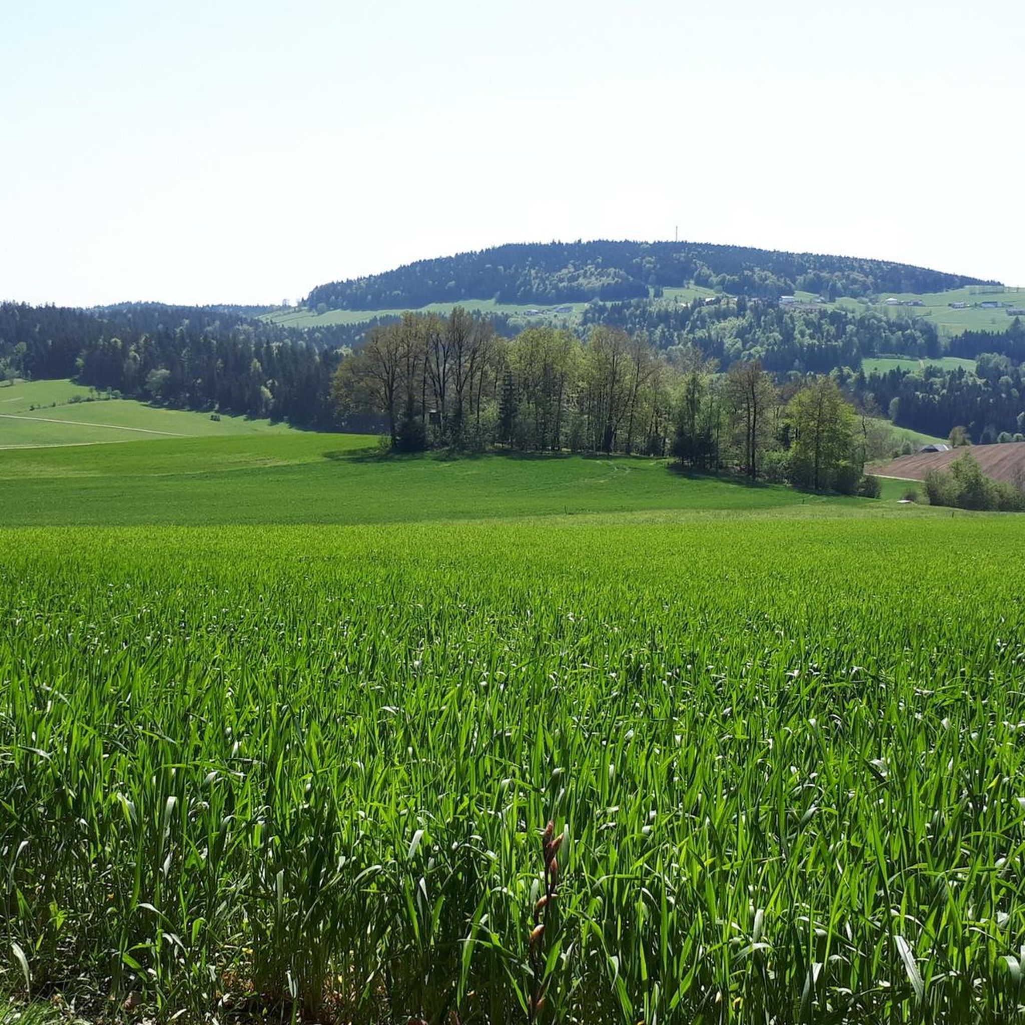
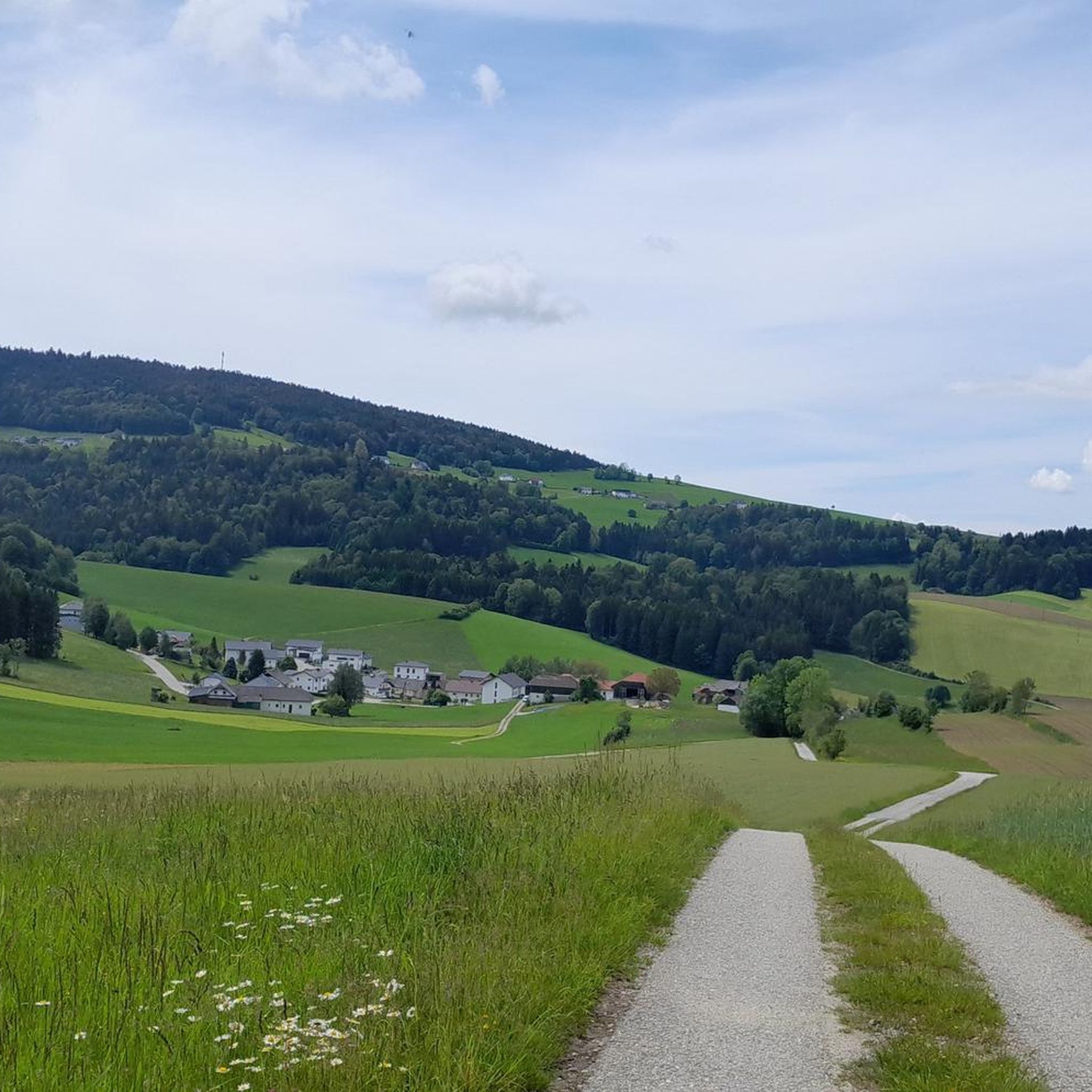
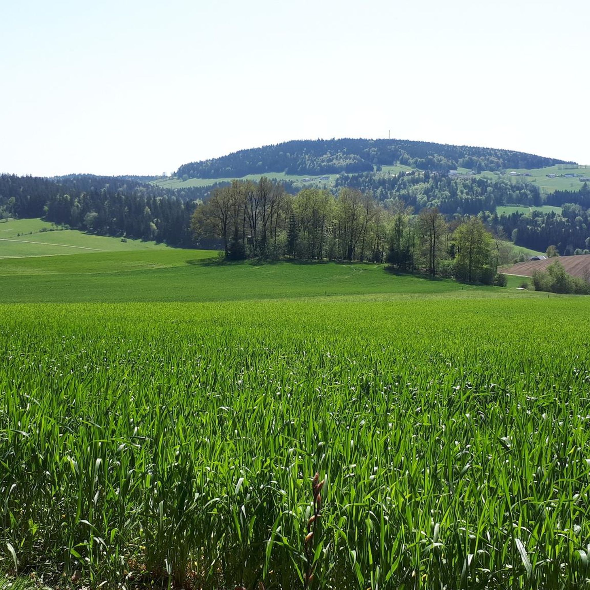
Mountaineering routes around Oberkappel traverse a landscape characterized by rolling hills and dense woodlands, typical of the Mühlviertel region in Upper Austria. The area features elevations up to 895 meters, with the Haugstein Summit being a notable point. Rivers and streams cut through the terrain, contributing to varied natural environments.
Best mountaineering routes around Oberkappel
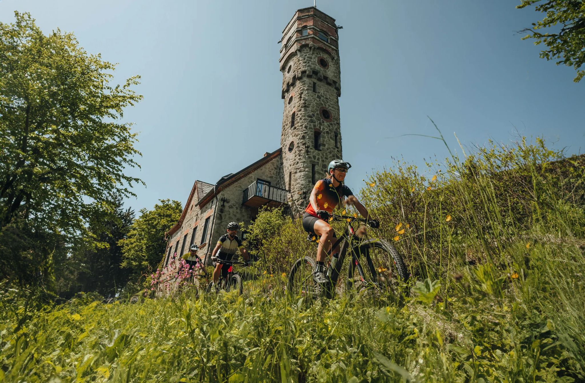
- The most popular mountaineering route is Haugstein Summit (895 m) – Vichtenstein Castle loop from Engelhartszell an der Donau, a 7.7 miles (12.4 km)…
Last updated: October 5, 2026
8
hikers
Moderate mountaineering route. Good fitness required. Easily-accessible paths. Suitable for all skill levels.
7
hikers
9.76km
02:59
340m
350m
Moderate mountaineering route. Good fitness required. Easily-accessible paths. Suitable for all skill levels.

5.0
(1)
7
hikers
5.53km
01:40
170m
170m
Easy mountaineering route. Great for any fitness level. Easily-accessible paths. Suitable for all skill levels.
6
hikers
5.10km
01:32
170m
170m
Easy mountaineering route. Great for any fitness level. Easily-accessible paths. Suitable for all skill levels.
Our route recommendations are based on thousands of hikes, rides, and runs completed by other people on komoot.
Start today with a free account
Your next adventure awaits.

Other adventures around Oberkappel

Tips from the Community

Maierhof viewpoint with panoramic views of Bavaria.
0
0

Beautiful memorial in the middle of the forest
1
0

Part of the circular route is more suitable for mountain bikers. Not for those with weak knees. Otherwise, it's very rustic with lovely rest and viewpoints.
1
0

with a bell that you can operate yourself
1
0

A little above the hiking car park there is a bench... sit here, enjoy the peace and the view and simply
1
0
Well-marked hiking trail with tree stump chair.
1
0
Chapel at the Eidenberger Lusen round trip from Maierhof.
1
0
Frequently Asked Questions
What kind of terrain can I expect on mountaineering routes around Oberkappel?
The mountaineering routes around Oberkappel are characterized by the rolling hills and dense woodlands typical of the Mühlviertel region in Upper Austria. You'll find varied natural environments, with rivers and streams cutting through the terrain, and elevations reaching up to 895 meters at the Haugstein Summit.
Are there easy mountaineering routes suitable for beginners in Oberkappel?
Yes, Oberkappel offers several easy mountaineering routes perfect for beginners or those looking for a less strenuous experience. An example is the Chapel at Eidenberger Lusen – Bärnlochweg Shelter loop from Oberkappel, which is about 3.5 miles (5.6 km) long and takes around 1 hour 41 minutes to complete, leading through varied woodlands.
Are there more challenging mountaineering trails for experienced hikers in the Oberkappel area?
For experienced mountaineers seeking a challenge, routes like the Vichtenstein Castle – Haugstein Summit (895 m) loop from Vichtenstein offer a rewarding experience. This moderate 6.1-mile (9.8 km) path includes a significant climb to the Haugstein, passing through forested areas and providing panoramic vistas.
What are the typical distances and durations for mountaineering routes around Oberkappel?
Mountaineering routes in Oberkappel vary in length and duration. You can find shorter, easy routes around 3.5 miles (5.6 km) taking less than two hours, such as the Chapel at Eidenberger Lusen – Bärnlochweg Shelter loop from Oberkappel. Longer, moderate routes, like the Haugstein Summit (895 m) – Vichtenstein Castle loop from Engelhartszell an der Donau, can be around 7.7 miles (12.4 km) and take nearly four hours to complete.
Can I bring my dog on the mountaineering routes in Oberkappel?
Generally, the forested and natural trails around Oberkappel are dog-friendly. It's always recommended to keep your dog on a leash, especially in areas with wildlife or near livestock, and to carry water for both yourself and your pet. Always check local regulations or signage for specific restrictions on individual trails.
What is the best season for mountaineering in Oberkappel?
The Mühlviertel region, including Oberkappel, is generally excellent for mountaineering from spring through autumn. During these seasons, you'll experience pleasant temperatures and lush landscapes. While winter mountaineering is possible, be prepared for snow and ice, and ensure you have appropriate gear and experience for colder conditions.
Are there any circular mountaineering routes in Oberkappel?
Yes, many of the mountaineering routes around Oberkappel are designed as circular trails, allowing you to start and end at the same point. Examples include the popular Haugstein Summit (895 m) – Vichtenstein Castle loop from Engelhartszell an der Donau and the Vichtenstein Castle – Haugstein Summit (895 m) loop from Vichtenstein.
What interesting landmarks or attractions can I see near the mountaineering routes?
While exploring the mountaineering routes, you can discover several interesting landmarks. The Haugstein Summit (895 m) itself offers panoramic views. Nearby, you might encounter the Jochenstein rock island with the statue of Saint John of Nepomuk or the impressive Jochenstein Lock and Hydropower Plant along the Danube.
What do other mountaineers enjoy most about the routes in Oberkappel?
The mountaineering routes in Oberkappel are highly rated by the komoot community, with an average score of 5.0 stars. Reviewers often praise the varied terrain, the peaceful forested areas, and the rewarding panoramic viewpoints from higher elevations, especially the ascent to the Haugstein Summit.
Are there less crowded alternatives for mountaineering near Oberkappel?
While the main routes are popular, you can find quieter experiences. Consider exploring routes like the Chapel at Eidenberger Lusen – Bärnlochweg loop from Hartmannsreut. This easy 3.1-mile (5.0 km) trail offers a peaceful walk through woodlands, providing a serene alternative to more frequented paths.
What should I wear for mountaineering in Oberkappel?
Given the varied terrain and potential for changing weather in the Mühlviertel region, it's advisable to wear sturdy hiking boots, layered clothing, and waterproof outerwear. Even on shorter routes, carrying water, snacks, and a map or GPS device is recommended.
Most popular routes around Oberkappel
Most popular attractions around Oberkappel

Get inspired with the komoot mobile app


Explore more
Browse the best Mountain Hikes & Routes in other regions.
