The best mountain hikes around Aspang-Markt
4.7
(3)
47
hikers
3
hikes
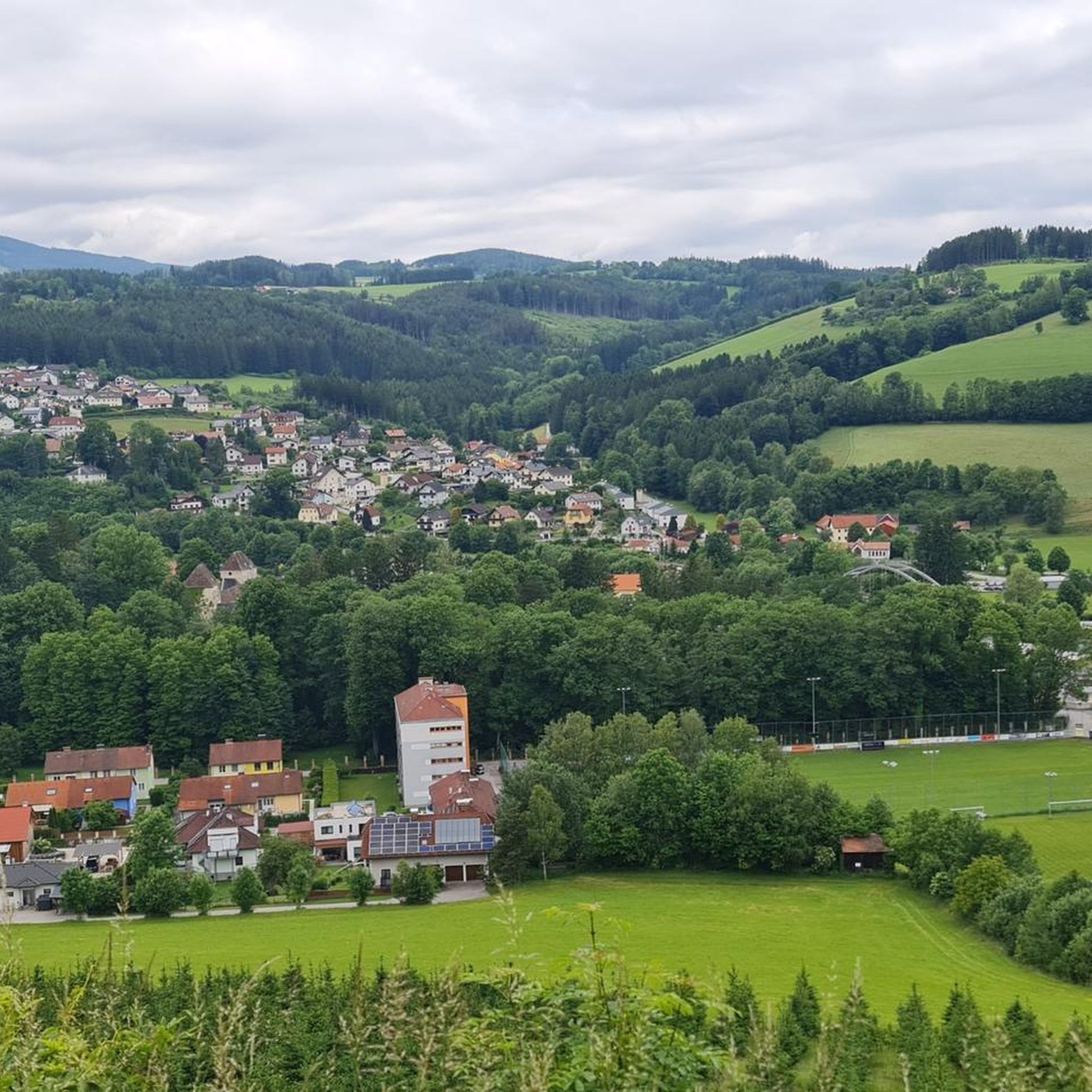
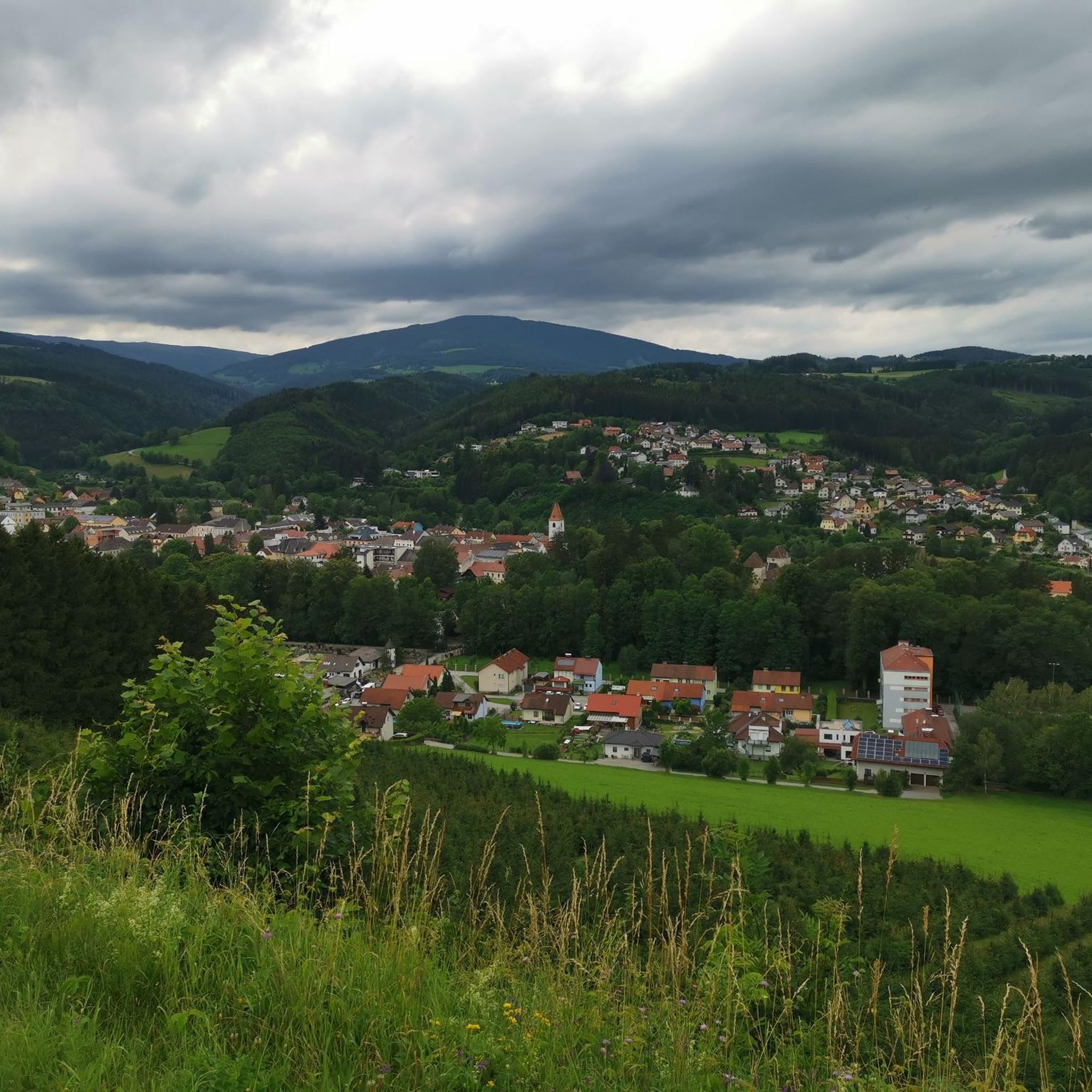
Mountaineering routes around Aspang-Markt traverse a diverse hilly to mountainous landscape within the Bucklige Welt region. The area is characterized by rolling hills, natural monuments, and opportunities to summit local peaks. This terrain provides varied challenges for mountaineers, from paths requiring good fitness to more demanding routes necessitating alpine experience.
Best mountaineering routes around Aspang-Markt
- The most popular mountaineering route is Hochwechsel Summit – Chapel on Hochwechsel loop from Katastralgemeinde Neustift am Alpenwald, a 7.0 miles (11.3 km) trail that takes 4 hours 33 minutes to complete. This moderate route offers views towards the Hochwechsel Summit and includes a chapel.
- Another top favourite among local mountaineers is Hallerhaus Mountain Lodge – Vorauer Schwaig Alm loop from Mönichkirchen, a difficult 14.0 miles (22.6 km) path. This route explores alpine pastures and connects mountain lodges, providing extensive mountain scenery.
- Local mountaineers also love the Wiener Alpen Viewpoint – Hallerhaus Mountain Lodge loop from Mönichkirchen, a 10.0 miles (16.1 km) trail leading through the Wiener Alpen, often completed in about 5 hours 13 minutes.
- Mountaineering around Aspang-Markt is defined by its hilly to mountainous landscape, rolling hills, and prominent mountain peaks. The network offers options for different ability levels, including challenging routes for experienced individuals.
- The routes in Aspang-Markt are highly rated by the komoot community with an average score of 4.5 stars from 2 reviews. More than 50 mountaineers have used komoot to explore Aspang-Markt's varied terrain.
Last updated: October 18, 2026
16
hikers
Moderate mountaineering route. Good fitness required. Mostly accessible paths. Sure-footedness required.
4.0
(1)
10
hikers
Moderate mountaineering route. Good fitness required. Mostly accessible paths. Sure-footedness required.

10
hikers
22.4km
07:02
870m
870m
Hard mountaineering route. Very good fitness required. Easily-accessible paths. Suitable for all skill levels.
5.0
(1)
8
hikers
Hard mountaineering route. Very good fitness required. Easily-accessible paths. Suitable for all skill levels.
5.0
(1)
3
hikers
19.7km
07:15
1,010m
1,010m
Hard mountaineering route. Very good fitness required. Mostly accessible paths. Sure-footedness required.
Our route recommendations are based on thousands of hikes, rides, and runs completed by other people on komoot.
Start today with a free account
Your next adventure awaits.
Popular around Aspang-Markt
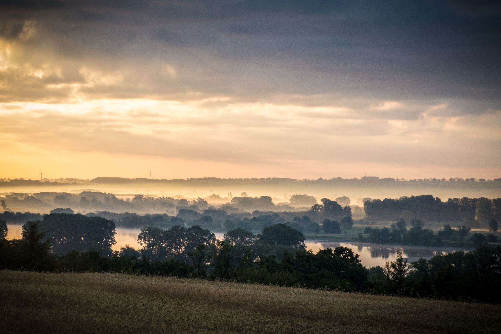
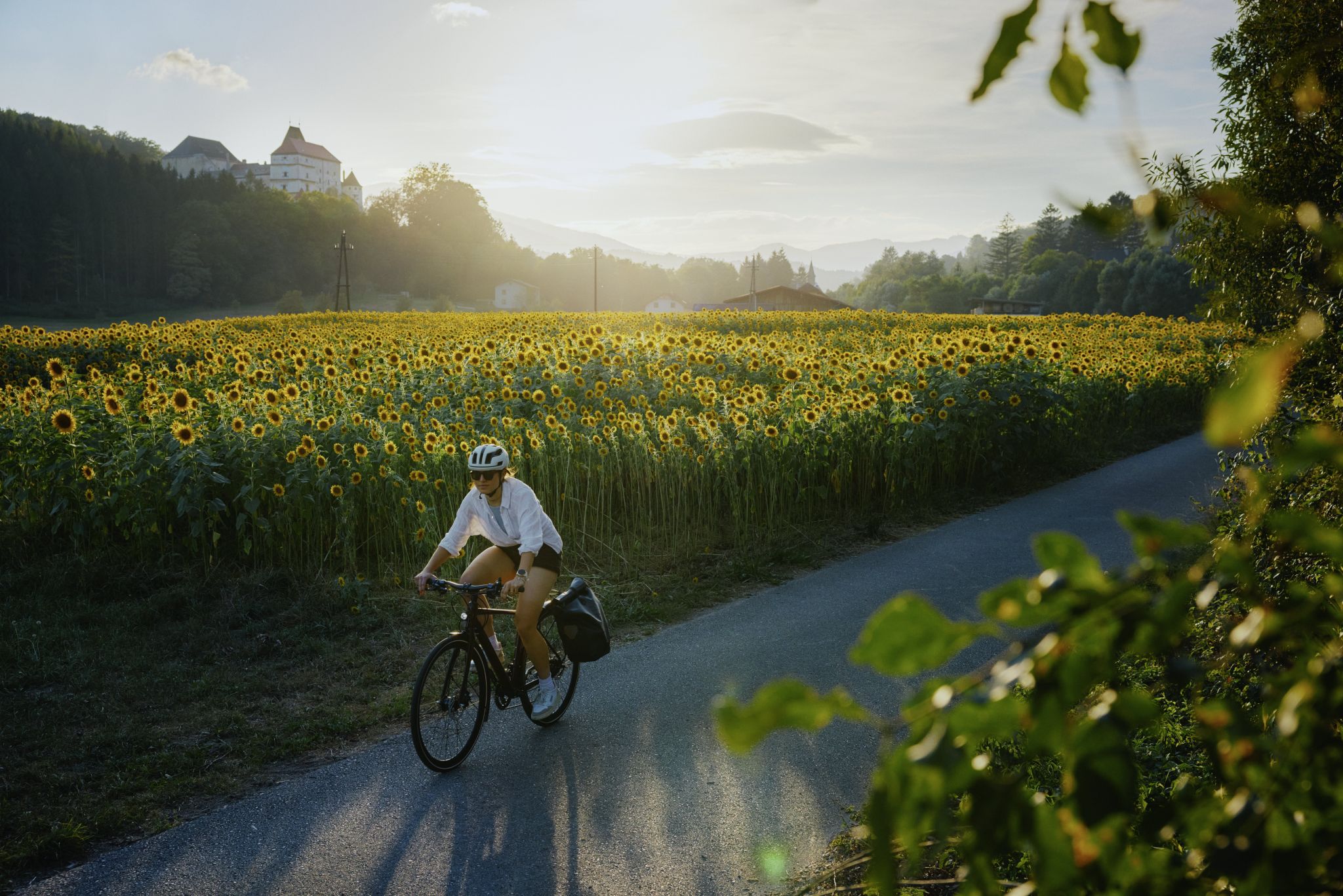
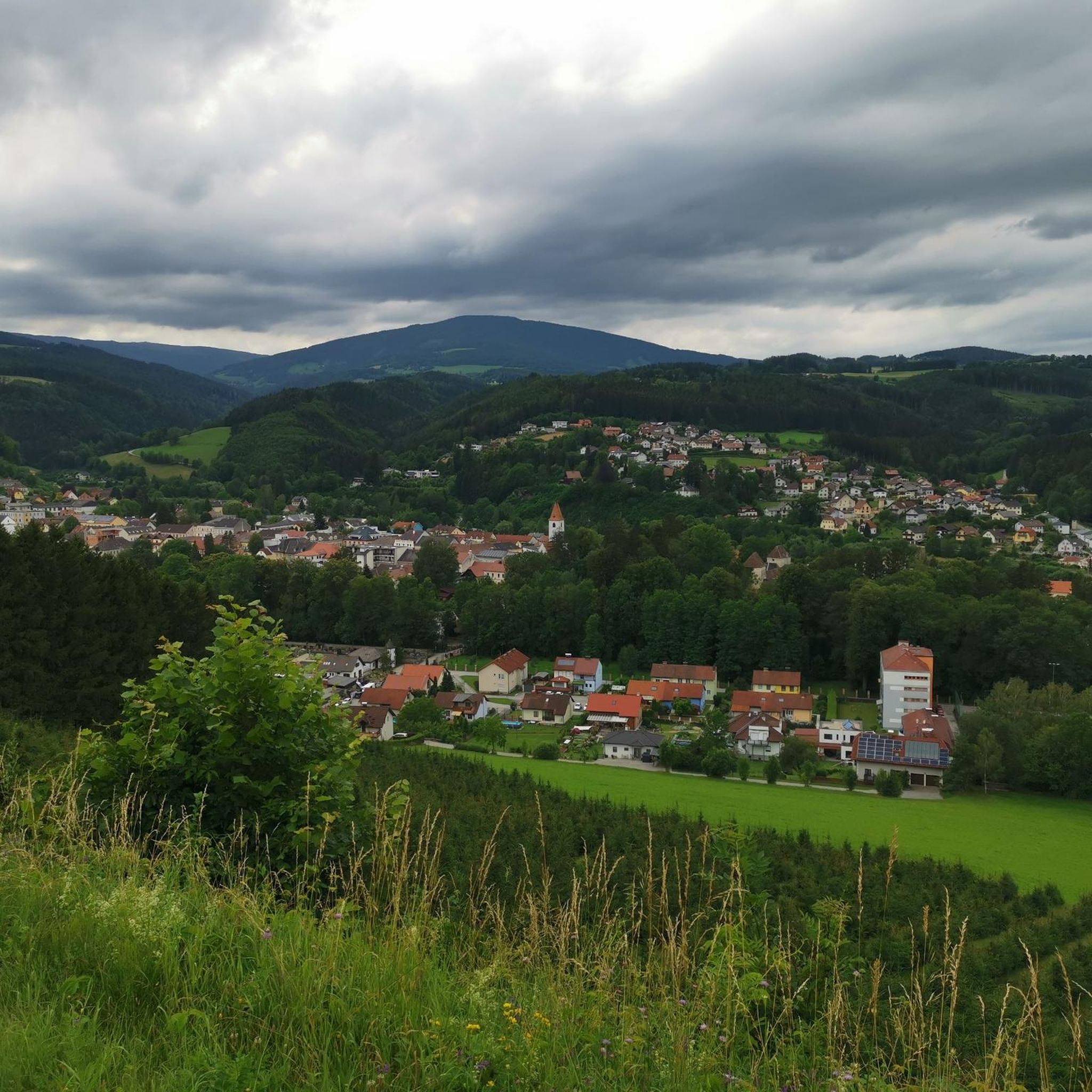

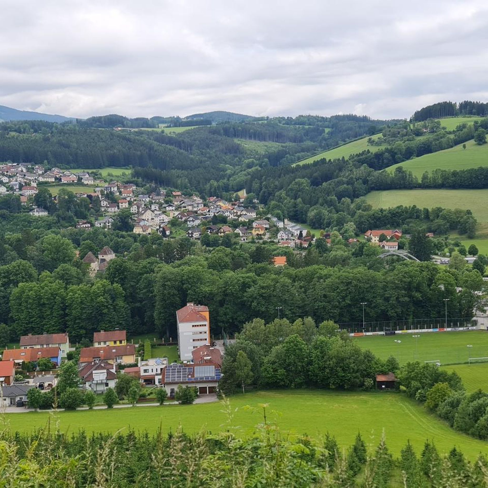


Tips from the Community

The waterfall is wonderfully beautiful, and you don't have to go far from the forest path, about 80m. Be careful on the big stones and roots! Fortunately, we can take excellent photos from the small wooden bridge laid across.
0
0

The Hallerhaus is a cozy mountain hut on the Wechsel and a popular resting point for hikers. The hut is located in the middle of the quiet forest and alpine landscape and is ideally suited for a stop during a tour over the Niederwechsel. A beautiful place to take a break and enjoy the typical landscape of the Wechsel region.
4
0
The Stoa Alm is a rustic alpine pasture on the Niederwechsel and a beautiful resting point along the hiking route. Surrounded by meadows and the gentle mountain landscape of the Wechsel region, it offers a pleasant opportunity for a break. The quiet, original atmosphere away from the more frequented paths is particularly charming.
4
0
The Festenburg summit is located on the Niederwechsel and is a rather inconspicuous, natural point along the ridge. Instead of a distinct summit structure, forest and the gentle landscape of the Wechselland characterize this section. A quiet waypoint away from the more prominent peaks – typical for the elongated ridges of the Wechsel Mountains.
3
0
The Umschussriegel is a largely open summit plateau at an altitude of 1,720 meters in the Wechsel area, located just below the Hochwechsel. From the open plateau, there is a wide panoramic view of the Wechsel area and the surrounding mountains in clear weather. Together with Schöberlriegel and Hochwechsel, it forms a particularly beautiful section of the scenic ridge hike across the Wechselkamm.
3
0
The border stone on the Grünberg marks a transition between Lower Austria and Styria. It lies directly on the state border and is a small, but interesting landmark along the hiking route. An inconspicuous detail on the path that makes it visible that you are switching from one federal state to another here.
3
0
The Wetterkoglerhaus is located directly on the summit of the Hochwechsel at 1,743 meters and is a hut of the Austrian Alpine Club. With good visibility, the hut offers a magnificent panorama over the Wechsel region to Schneeberg, Rax, and Hochschwab. Due to its immediate proximity to the summit cross and chapel, the Wetterkoglerhaus is an ideal resting and refreshment stop at the highest point of the tour.
4
0
The Hochwechsel Trail Nord leads through the open alpine and mountain landscape of the Wechsel region up towards Hochwechsel. The path, which runs predominantly on loose ground, is actually part of the Wexl Trails mountain bike trail network, but can also be used in sections as a connection along a hiking route. Especially in the upper section, the route offers beautiful views over the extensive Wechsel Alps and the surrounding mountain world.
3
0
Frequently Asked Questions
How many mountaineering routes are available around Aspang-Markt?
There are several mountaineering routes around Aspang-Markt, offering diverse experiences. Our guide features 5 distinct routes, ranging from moderate to difficult, allowing you to explore the hilly to mountainous landscape of the Bucklige Welt region.
What kind of terrain can I expect on mountaineering routes in Aspang-Markt?
The terrain around Aspang-Markt is characterized by a diverse hilly to mountainous landscape. You'll encounter rolling hills, prominent mountain peaks, and varied paths. Some routes are suitable for those with good fitness, while others are more demanding and may require alpine experience, corresponding to SAC difficulty levels 2-3 and even 4-6 for experienced individuals.
Are there any circular mountaineering routes in Aspang-Markt?
Yes, Aspang-Markt offers several circular mountaineering routes. For example, you could try the Hochwechsel Summit – Chapel on Hochwechsel loop from Katastralgemeinde Neustift am Alpenwald, a moderate 7.0-mile trail that takes about 4 hours 33 minutes to complete. Another option is the more challenging Wiener Alpen Viewpoint – Hallerhaus Mountain Lodge loop from Mönichkirchen, which is 10.0 miles long.
Are there mountain huts or lodges along the mountaineering routes?
Yes, mountain huts are an integral part of the mountaineering experience in the region. Routes like the difficult Hallerhaus Mountain Lodge – Vorauer Schwaig Alm loop from Mönichkirchen connect mountain lodges, providing essential rest stops and opportunities for longer treks. You can also find huts along the Hochwechsel Summit – Wetterkoglerhaus loop from Aspangberg-St. Peter.
What natural attractions or viewpoints can I discover along the routes?
The region boasts several natural attractions and viewpoints. You can find highlights such as the Sun Terrace Summit Cross or the Festenburg Summit (Niederwechsel). For panoramic views, consider visiting the Kernstock Lookout on Wolfenkogel. The routes themselves often offer rewarding vistas of the surrounding Bucklige Welt.
What is the best time of year for mountaineering in Aspang-Markt?
While specific recommendations depend on conditions, the region is generally suitable for outdoor activities throughout much of the year. For mountaineering, spring to autumn typically offers the most favorable weather. More demanding routes may require alpine experience, and conditions can change rapidly, so always check local forecasts before heading out.
Are there any challenging mountaineering routes for experienced individuals?
Absolutely. Aspang-Markt offers several challenging routes. For instance, the Hochwechsel – Marienseer Schwaig loop from Katastralgemeinde Neustift am Alpenwald is a difficult 10.9-mile route with significant elevation gain. Many routes in the area are classified as difficult, requiring good fitness and sure-footedness, with some even necessitating alpine experience.
What do other mountaineers say about the routes in Aspang-Markt?
The mountaineering routes in Aspang-Markt are highly rated by the komoot community, with an average score of 4.5 stars from 2 reviews. Over 50 mountaineers have used komoot to explore the varied terrain, often praising the scenic beauty and the diverse challenges offered by the trails.
Are there any caves or unique geological features to explore?
Yes, the area around Aspang-Markt features interesting geological formations. You can explore natural monuments such as the Hermann Cave or the Kulmriegel Cave (Marian Grotto). These offer a different perspective on the region's natural beauty beyond the mountain peaks.
Is there public transport access to the starting points of mountaineering routes?
While Aspang-Markt is accessible, specific public transport connections to the exact starting points of all mountaineering routes can vary. It's advisable to check local bus or train schedules to nearby villages like Mönichkirchen or Katastralgemeinde Neustift am Alpenwald, and plan for potential short transfers or walks to reach the trailheads.
Where can I find parking for mountaineering routes near Aspang-Markt?
Parking availability varies depending on the specific trailhead. Many routes start from villages or designated parking areas in the surrounding communities, such as Katastralgemeinde Neustift am Alpenwald or Mönichkirchen. It's recommended to check the individual route descriptions on komoot for detailed information on parking facilities near your chosen starting point.
Most popular routes around Aspang-Markt
Most popular attractions around Aspang-Markt

Get inspired with the komoot mobile app


Explore more
Browse the best Mountain Hikes & Routes in other regions.
