The best mountain hikes around Kopfing im Innkreis
17
hikers
3
hikes
Mountaineering routes around Kopfing im Innkreis traverse a region characterized by its hilly terrain and pristine landscapes within the Innviertel. The area features elevated natural features such as the Ameisberg and the Haugstein Summit, which stands at 895 meters above sea level in the Sauwald area. These routes often lead through forests and offer views of the surrounding countryside, including the Danube. The terrain provides opportunities for challenging hikes and exploring the elevated natural environment.
Best mountaineering routes around Kopfing…
Last updated: July 2, 2026
8
hikers
Moderate mountaineering route. Good fitness required. Easily-accessible paths. Suitable for all skill levels.
7
hikers
9.76km
02:59
340m
350m
Moderate mountaineering route. Good fitness required. Easily-accessible paths. Suitable for all skill levels.

Sign up for free
2
hikers
8.54km
02:43
320m
320m
Moderate mountaineering route. Good fitness required. Easily-accessible paths. Suitable for all skill levels.
Our route recommendations are based on thousands of hikes, rides, and runs completed by other people on komoot.
Start today with a free account
Your next adventure awaits.
Login or Signup
Popular around Kopfing im Innkreis

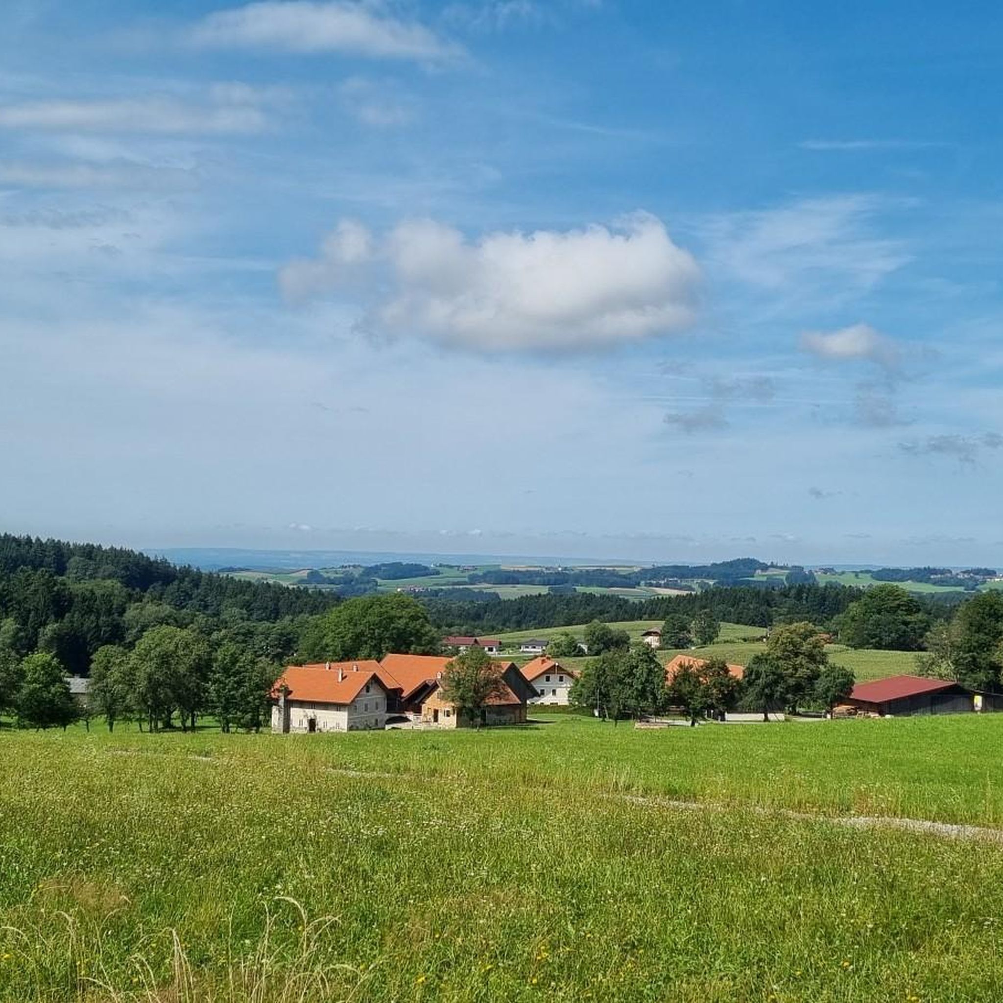
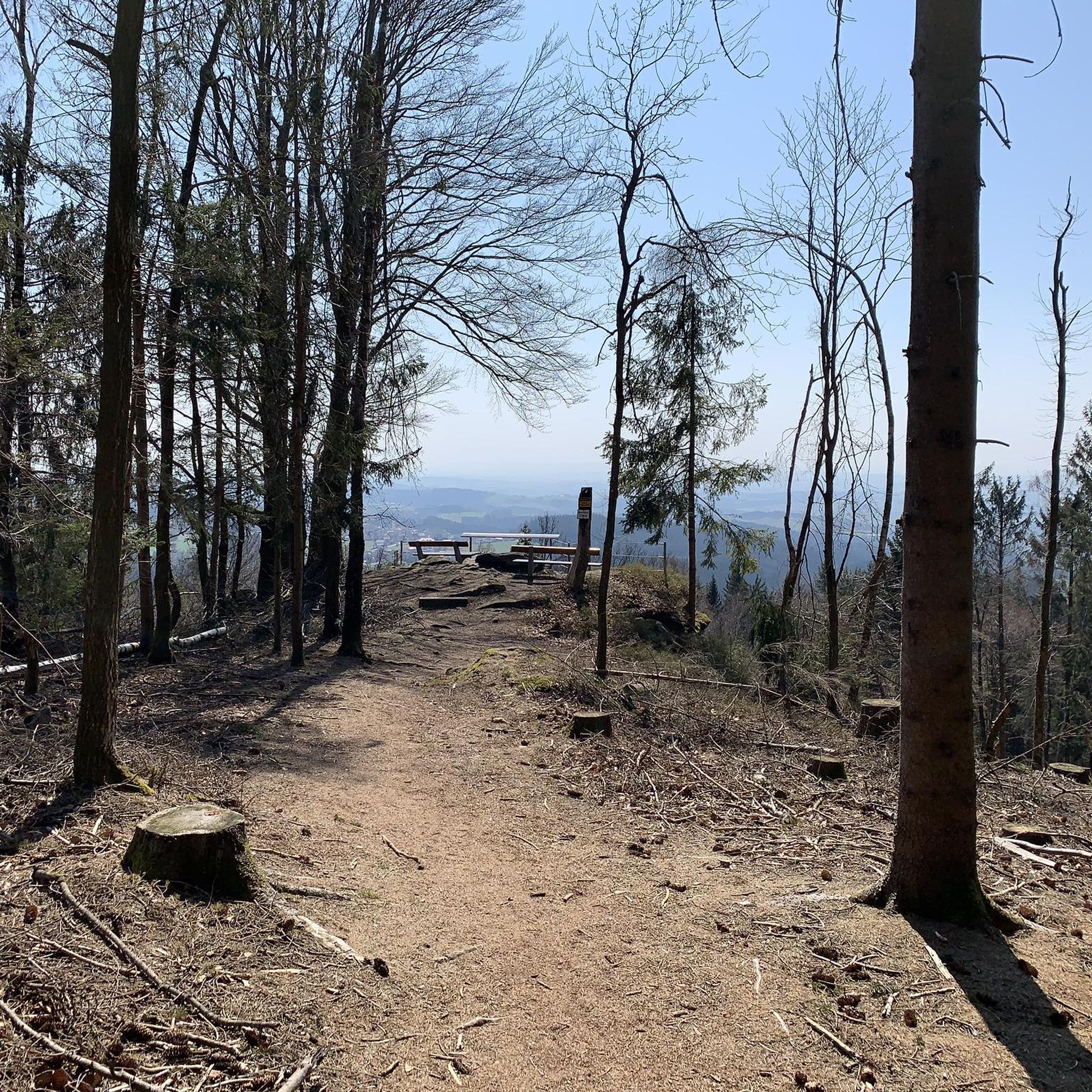
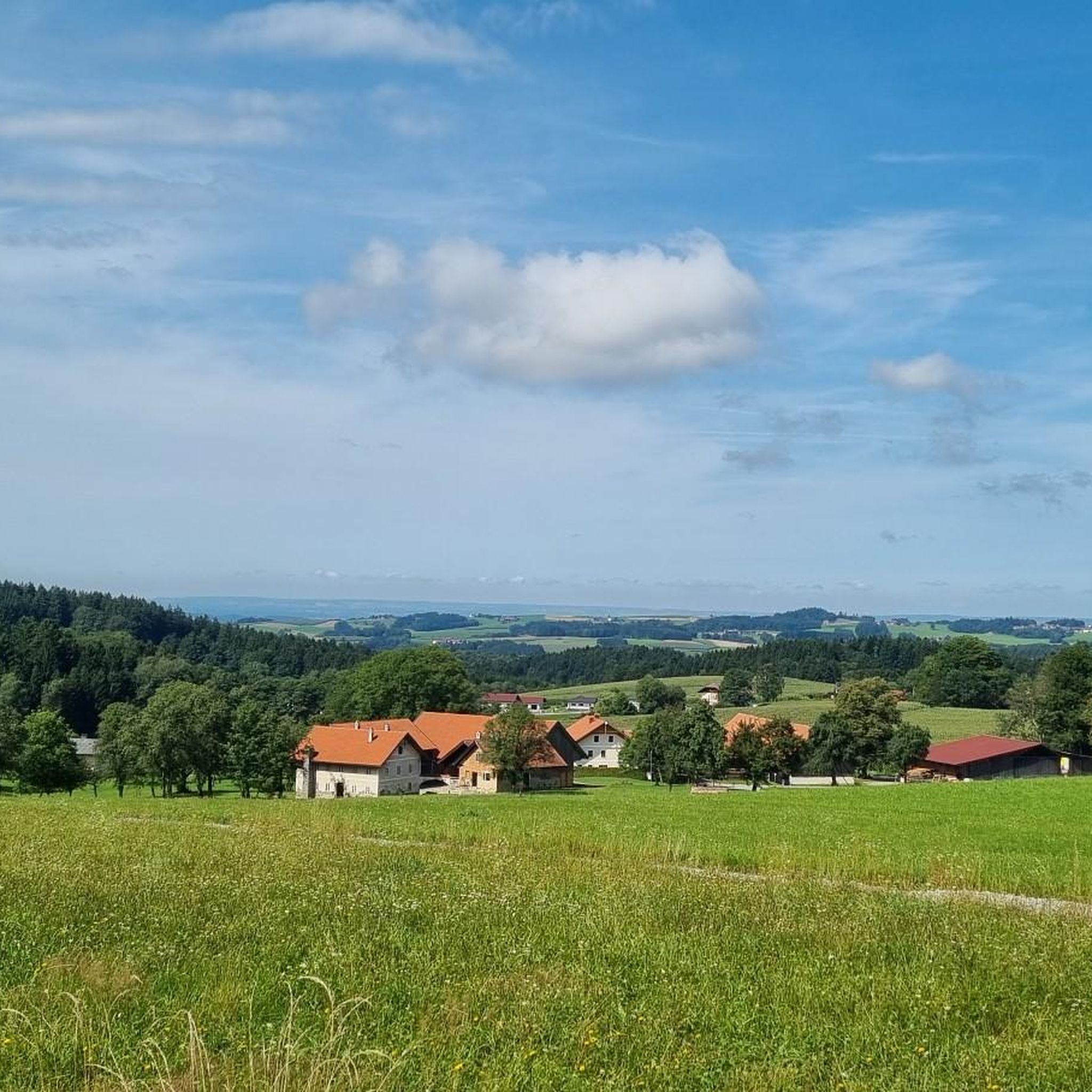
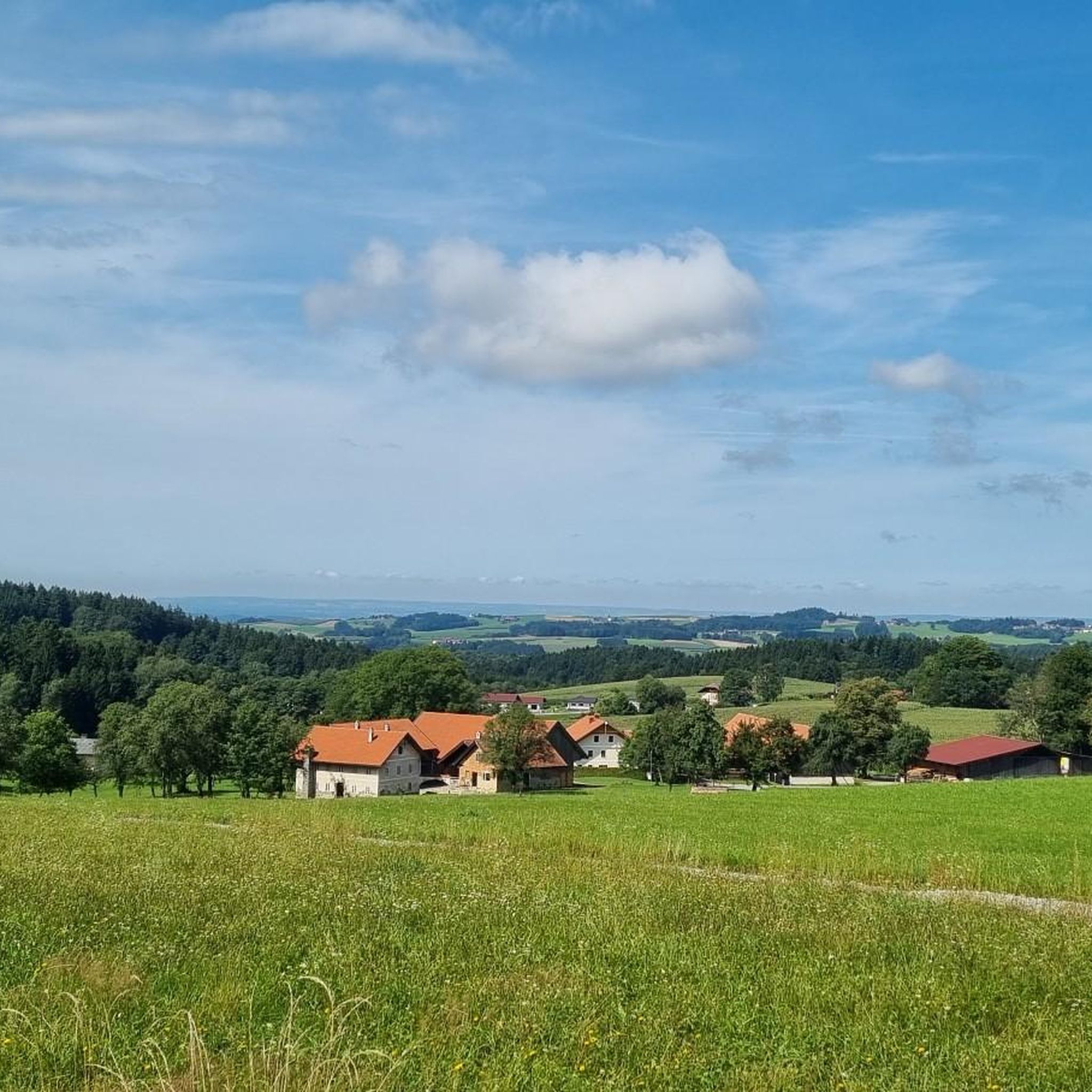

Other adventures around Kopfing im Innkreis

Tips from the Community

Maierhof viewpoint with panoramic views of Bavaria.
0
0


Beautiful memorial in the middle of the forest
1
0

The descent to the waterfall is secured with a rope, but is easy to manage with good hiking boots.
1
0

Many beautiful hikes start from here, and the panoramic view is also available - Viechtenstein is located at this spot.
1
0


Here you can cycle in a relaxed manner
1
0

Wonderful power place on the Donausteig 🇺🇿
2
0
Frequently Asked Questions
What kind of terrain can I expect on mountaineering routes around Kopfing im Innkreis?
The mountaineering routes around Kopfing im Innkreis are characterized by hilly terrain and pristine landscapes, often traversing forests. You'll encounter elevated natural features like the Ameisberg and the Haugstein Summit, providing a challenging yet rewarding experience.
Are there any family-friendly options for exploring the area's natural beauty?
While the listed mountaineering routes are moderate, the region offers attractions suitable for families. The Haugstein Summit (895 m) itself is a prominent feature, and the broader area includes the Baumkronenweg Kopfing (Treetop Walk), which is an impressive structure allowing visitors to stroll above the treetops and is suitable for various age groups.
Are there any circular mountaineering routes available?
Yes, several routes offer a circular experience. For example, you can explore the Haugstein Summit (895 m) – Vichtenstein Castle loop from Engelhartszell an der Donau, which is a 7.7-mile (12.4 km) trail. Another option is the Vichtenstein Castle – Haugstein Summit (895 m) loop from Vichtenstein, a moderate 6.1-mile (9.8 km) path.
What are some notable natural features or landmarks I might see along the routes?
The routes often lead to or pass by significant natural features. The Haugstein Summit (895 m) is a central point, offering views of the Sauwald area. You might also encounter the Bockbach Waterfall on the loop from Niederranna, and the Jochenstein Rock Island on the Danube is a natural monument nearby.
What is the typical duration and difficulty of mountaineering routes in this region?
The mountaineering routes around Kopfing im Innkreis are generally classified as moderate. For instance, the Haugstein Summit (895 m) – Vichtenstein Castle loop typically takes around 3 hours 40 minutes to complete, while the View of Wesenufer – Bockbach Waterfall loop can be completed in about 2 hours 45 minutes.
Are there any routes that offer particularly good views?
Many routes in the region provide excellent views due to the elevated terrain. The Haugstein Summit (895 m) loop is known for its panoramic views of the Sauwald area. Additionally, the View of Wesenufer – Bockbach Waterfall loop offers scenic vistas of the Danube region.
Can I bring my dog on these mountain hikes?
Generally, dogs are welcome on hiking trails in the Kopfing im Innkreis region. However, it's always advisable to keep your dog on a leash, especially in forested areas or near wildlife, and to check for any specific local regulations or signage along your chosen route.
What are some less crowded or 'hidden gem' routes in the area?
While all routes offer a chance to connect with nature, for a potentially quieter experience, consider exploring the View of Wesenufer – Bockbach Waterfall loop from Niederranna. This route leads through varied terrain and offers beautiful natural sights like the waterfall, providing a serene experience away from the most popular spots.
Are there any waterfalls to discover on the mountaineering routes?
Yes, the View of Wesenufer – Bockbach Waterfall loop from Niederranna specifically includes the Bockbach Waterfall, offering a refreshing natural highlight along the trail.
What do other mountaineers appreciate about the routes around Kopfing im Innkreis?
The komoot community frequently praises the region for its well-maintained network of trails and the diverse, pristine landscapes. Mountaineers particularly enjoy the challenging hikes to elevated features like the Haugstein Summit and the rewarding views of the Innviertel and Danube.
Are there any facilities or places to rest near the trails?
While specific cafes directly on the trails are not detailed, the region around Kopfing im Innkreis is generally well-equipped for visitors. Many villages and towns nearby, such as Engelhartszell an der Donau or Vichtenstein, offer guesthouses and restaurants where you can find refreshments before or after your hike.
What is the best time of year for mountaineering in Kopfing im Innkreis?
The region is beautiful throughout the warmer months, from spring to autumn, when the trails are clear and the weather is generally pleasant for hiking. Autumn offers particularly stunning scenery with vibrant foliage. Winter mountaineering is possible, but conditions can be challenging, requiring appropriate gear and experience due to snow and ice.
Most popular routes around Kopfing im Innkreis
Most popular attractions around Kopfing im Innkreis

Get inspired with the komoot mobile app


Explore more
Browse the best Mountain Hikes & Routes in other regions.
