The best mountain hikes around Sankt Leonhard bei Freistadt
15
hikers
4
hikes
Mountaineering routes around Sankt Leonhard bei Freistadt traverse a landscape characterized by hilly and granitic terrain, featuring distinct granite formations and extensive wooded areas. The region's terrain elevation includes the Predigtberg, reaching 892 meters, offering panoramic views across the Mühlviertel. Deep valleys with serene stream landscapes also contribute to the area's natural composition.
Best mountaineering routes around Sankt Leonhard bei Freistadt
- The most popular mountaineering route is Herzogreitherfelsen – Doomsday Stones loop from St. Leonhard bei Freistadt, a 12.1…
Last updated: July 2, 2026
5
hikers
8.99km
02:45
320m
320m
Moderate mountaineering route. Good fitness required. Easily-accessible paths. Suitable for all skill levels.
5
hikers
Hard mountaineering route. Very good fitness required. Easily-accessible paths. Suitable for all skill levels.

Sign up for free
3
hikers
11.1km
03:35
490m
490m
Moderate mountaineering route. Good fitness required. Easily-accessible paths. Suitable for all skill levels.
2
hikers
8.03km
02:11
110m
110m
Moderate mountaineering route. Good fitness required. Easily-accessible paths. Suitable for all skill levels.
Our route recommendations are based on thousands of hikes, rides, and runs completed by other people on komoot.
Start today with a free account
Your next adventure awaits.
Login or Signup
Popular around Sankt Leonhard bei Freistadt
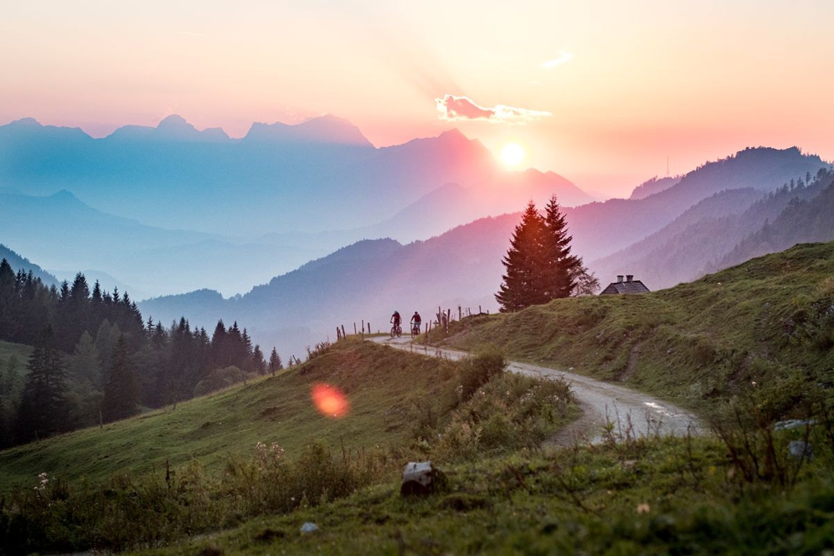
Fun and flow – best MTB trails in Upper Austria
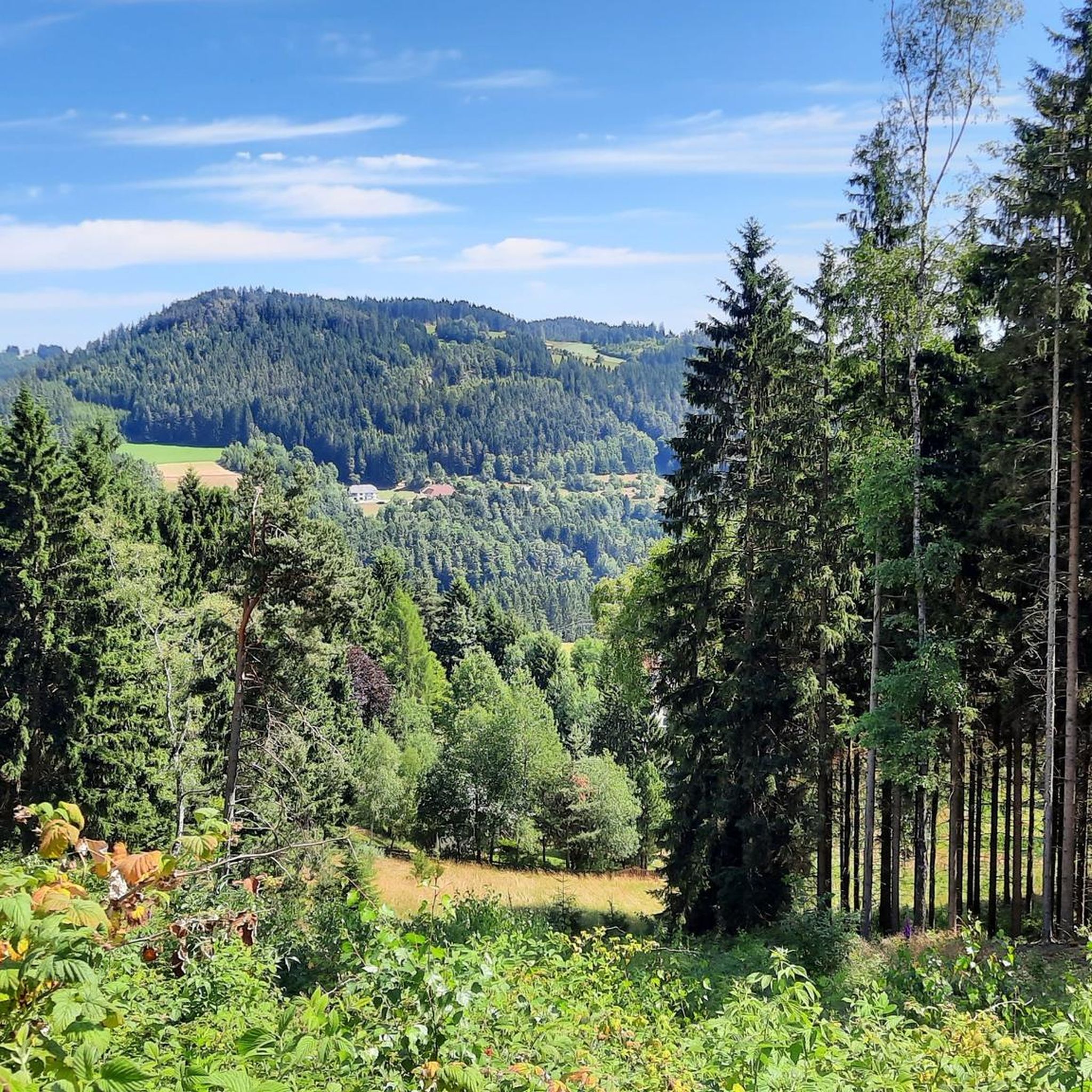
Hiking around Sankt Leonhard bei Freistadt
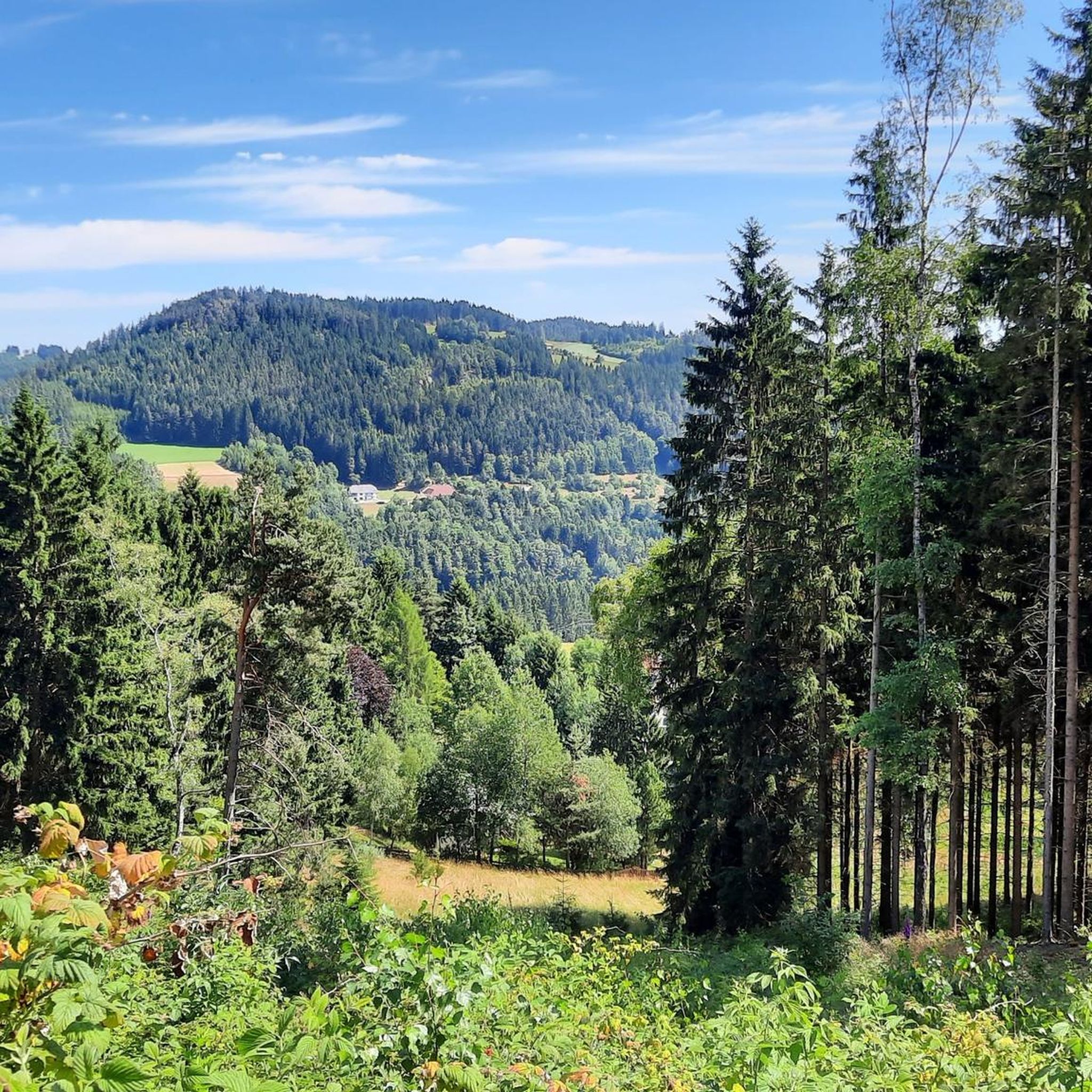
Cycling around Sankt Leonhard bei Freistadt
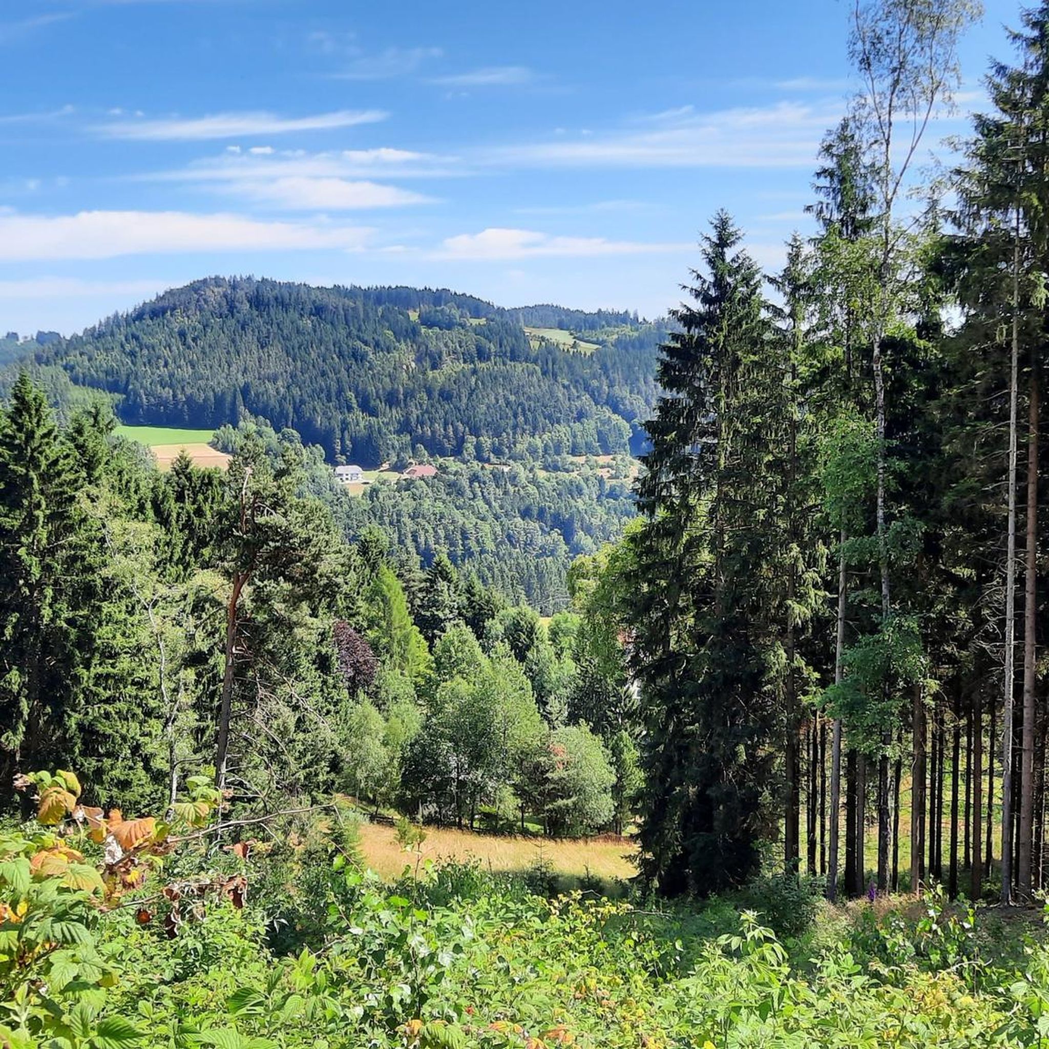
MTB Trails around Sankt Leonhard bei Freistadt
Road Cycling Routes around Sankt Leonhard bei Freistadt
Running Trails around Sankt Leonhard bei Freistadt
Gravel biking around Sankt Leonhard bei Freistadt
Other adventures around Sankt Leonhard bei Freistadt

Tips from the Community

The Bründl Chapel near St. Leonhard was built in 1728 and is now one of the municipality's listed buildings. Located on the old road to Ennsedt, it exudes a special sense of tranquility with its simple Baroque architecture, dome-like ceiling, and statue of the praying Virgin Mary. According to tradition, the spring water that springs here has healing powers—especially for the eyes and ears—which is why the chapel remains a popular place of contemplation to this day. A visit can be wonderfully combined with a bike ride, for example, on the Haiderberg panoramic view trail, which leads to the highest point in the municipality. From there, a wide view of the hilly landscape of the Mühlviertel opens up before you return to the chapel and take in the tranquil setting at the Bründl.
0
0

A visit to the stones just below St. Leonhard can be combined with a beautiful shady walk around the Mühlberg and Wimberg on the "Mühlberg Circular Trail 3"
0
0
The density of the great scenic granite formations and also the many unnamed ones in the forests is incredible in this area 🤩
0
0
From the chapel you have a direct view of the granite dome on the Haiderberg opposite
1
0

The ponds belong to the Rosenhof Forestry Estate and were originally used for timber storage. Swimming is not permitted in the large pond, but swimming is permitted in the small pond. However, the dark water takes some getting used to and requires a bit of courage.
5
0

You should have seen it before!! and you almost walk right past it
0
0
Great little summit cross - the view is great!!
0
0
Frequently Asked Questions
How many mountaineering routes are available in Sankt Leonhard bei Freistadt?
There are four distinct mountaineering routes around Sankt Leonhard bei Freistadt, offering a range of experiences from moderate to difficult. These routes allow you to explore the region's unique hilly and granitic terrain.
What kind of terrain can I expect on the mountaineering routes?
The routes traverse a landscape characterized by its distinct hilly and granitic terrain, featuring numerous granite formations and extensive wooded areas. You'll also find serene stream landscapes in deep valleys and panoramic views from higher elevations like the Predigtberg.
Are there any circular mountaineering routes in Sankt Leonhard bei Freistadt?
Yes, several routes are designed as loops. For instance, the Herzogreitherfelsen – Doomsday Stones loop from St. Leonhard bei Freistadt is a challenging 12.1-mile circular trail. Another option is the moderate Buchberg – Elzer Stub'n loop from Kefermarkt, which is about 5.6 miles long.
What natural landmarks can I see along the mountaineering routes?
You can encounter several unique natural features. The Herzogreitherfelsen – Doomsday Stones loop from St. Leonhard bei Freistadt takes you past the fascinating Weltuntergangssteine (Doomsday Stones). Other notable natural monuments in the wider area include the Herrgottssitz Rock Formation and the Herzogreitherfelsen viewpoint.
Are there any historical or cultural points of interest on the trails?
Yes, the region's hiking routes often incorporate cultural elements. You might come across features like the 'Blinde Kreuz,' the ancient 'Zigeunerbuche' (Gypsy Beech), the 'Eidechsenstein' (Lizard Stone), a Lourdes Grotto, and the Bründl Chapel.
Where can I find panoramic views during my mountaineering trip?
The region offers sweeping panoramic views, especially from the Predigtberg, which reaches 892 meters. From here, you can see across the Mühlviertel's mountain pastures and even glimpse the distant Alps. The Susi-Wallner-Warte on the Predigtberg is particularly known for its 'fairytale views,' and the Panoramablickweg is designed to showcase impressive vistas over the wooded landscape.
Are there family-friendly mountaineering routes in the area?
While the guide focuses on mountaineering, the broader Sankt Leonhard bei Freistadt area is highly regarded for its extensive hiking opportunities, including trails suitable for various skill levels and family-friendly adventures. For a moderate option, consider the Rosenhof Ponds loop from Schloss Rosenhof, which is about 5 miles long.
Can I bring my dog on the mountaineering trails?
Generally, dogs are welcome on hiking and mountaineering trails in the region. However, it's always advisable to keep them on a leash, especially in wooded areas or near livestock, and to check for any specific local regulations or protected areas that might have restrictions.
Are there options for parking near the trailheads?
While specific parking details for each trailhead are not provided here, Sankt Leonhard bei Freistadt is generally accessible by car, and parking facilities are typically available near popular starting points for hiking routes. It's recommended to check local signage upon arrival.
Is public transport available to access the mountaineering routes?
Information on direct public transport access to specific mountaineering trailheads is limited. However, Sankt Leonhard bei Freistadt itself is connected by public transport, and you may be able to reach the general area by bus, potentially requiring a short walk or taxi ride to the starting points of the routes.
Are there places to eat or stay near the routes?
Sankt Leonhard bei Freistadt and its surrounding villages offer various amenities, including cafes, pubs, and accommodation options. For example, the Buchberg – Braunberg Hut loop from Lasberg passes near the Braunberg Hut, which could be a place for refreshments.
What is the best time of year for mountaineering in Sankt Leonhard bei Freistadt?
The best time for mountaineering in Sankt Leonhard bei Freistadt is typically during the spring, summer, and autumn months when the weather is mild, and the trails are clear of snow. These seasons offer the most pleasant conditions for enjoying the panoramic views and diverse landscapes.
Most popular routes around Sankt Leonhard bei Freistadt
Most popular attractions around Sankt Leonhard bei Freistadt

Get inspired with the komoot mobile app


Explore more
Browse the best Mountain Hikes & Routes in other regions.
