The best mountain hikes around Lasberg
14
hikers
4
hikes
Mountaineering routes around Lasberg are situated within the picturesque Mühlviertel region of Upper Austria, characterized by a varied landscape of forests, river valleys, and rolling hills. The area is notable for its unique granite formations, which can be explored on numerous trails. Elevated points often provide expansive views across the region and, on clear days, towards the Alps. This terrain offers a range of challenges for mountaineers seeking significant elevation gain and diverse natural features.
Best mountaineering routes around Lasberg
…Last updated: July 2, 2026
5
hikers
8.99km
02:45
320m
320m
Moderate mountaineering route. Good fitness required. Easily-accessible paths. Suitable for all skill levels.
5
hikers
Hard mountaineering route. Very good fitness required. Easily-accessible paths. Suitable for all skill levels.

Sign up for free
3
hikers
11.1km
03:35
490m
490m
Moderate mountaineering route. Good fitness required. Easily-accessible paths. Suitable for all skill levels.
1
hikers
7.55km
02:11
180m
180m
Moderate mountaineering route. Good fitness required. Easily-accessible paths. Suitable for all skill levels.
Our route recommendations are based on thousands of hikes, rides, and runs completed by other people on komoot.
Start today with a free account
Your next adventure awaits.
Login or Signup
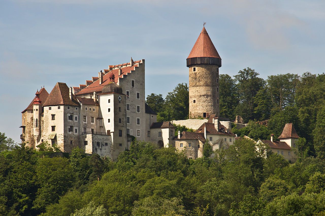
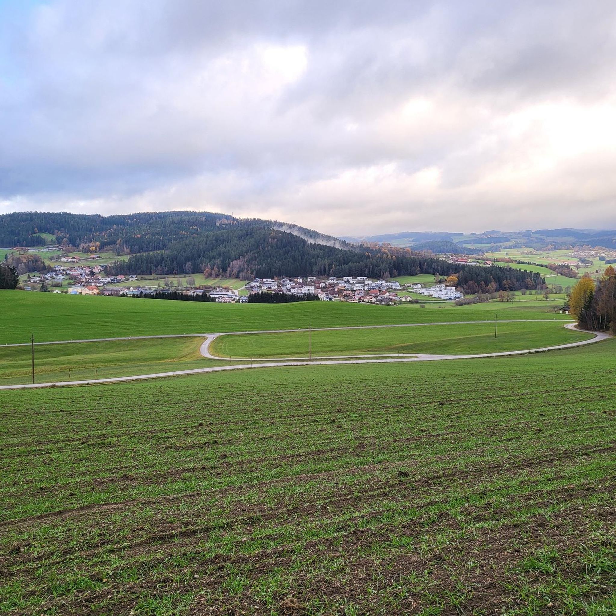
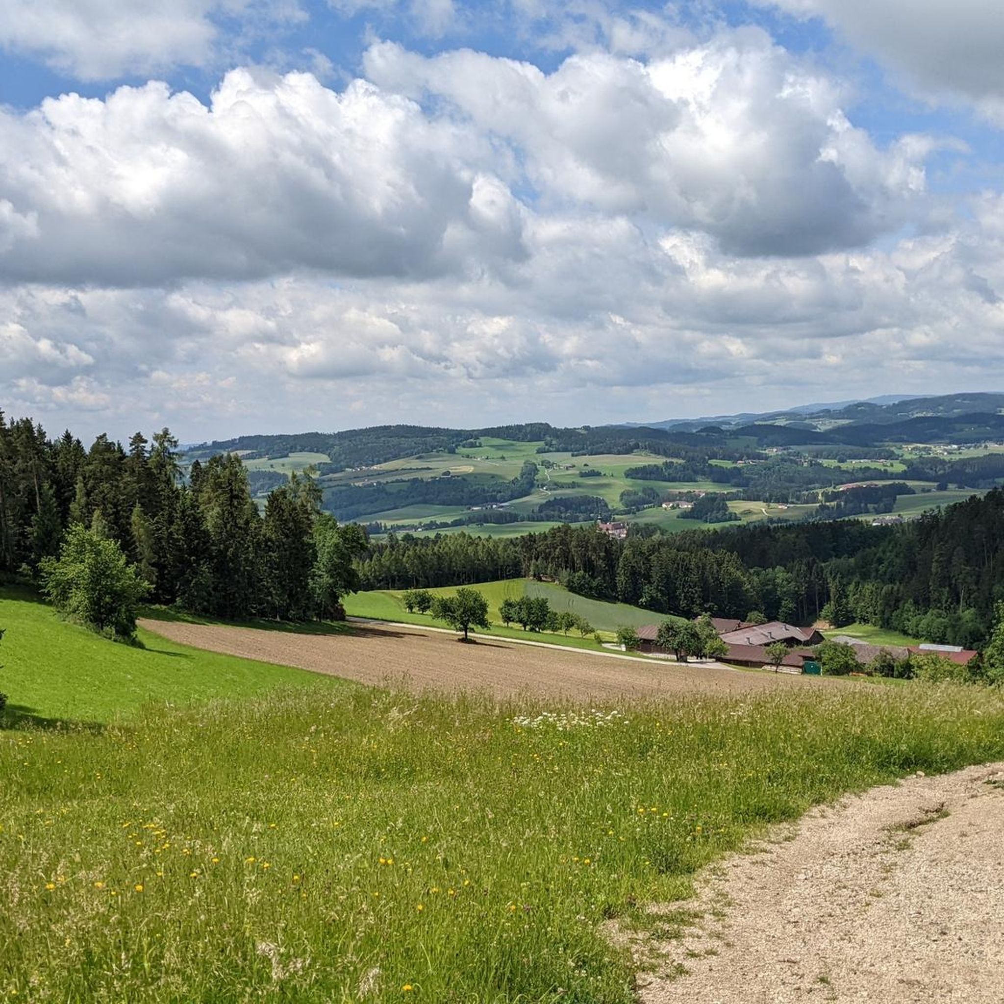
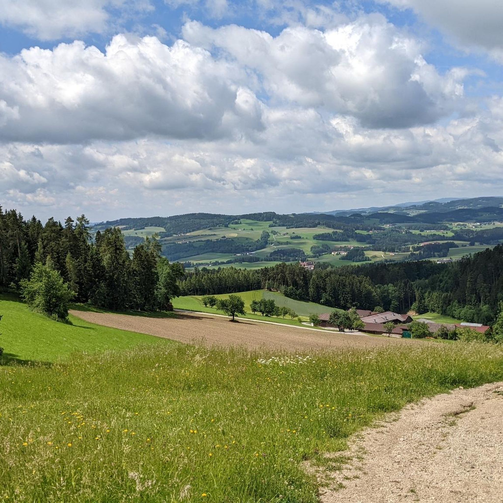
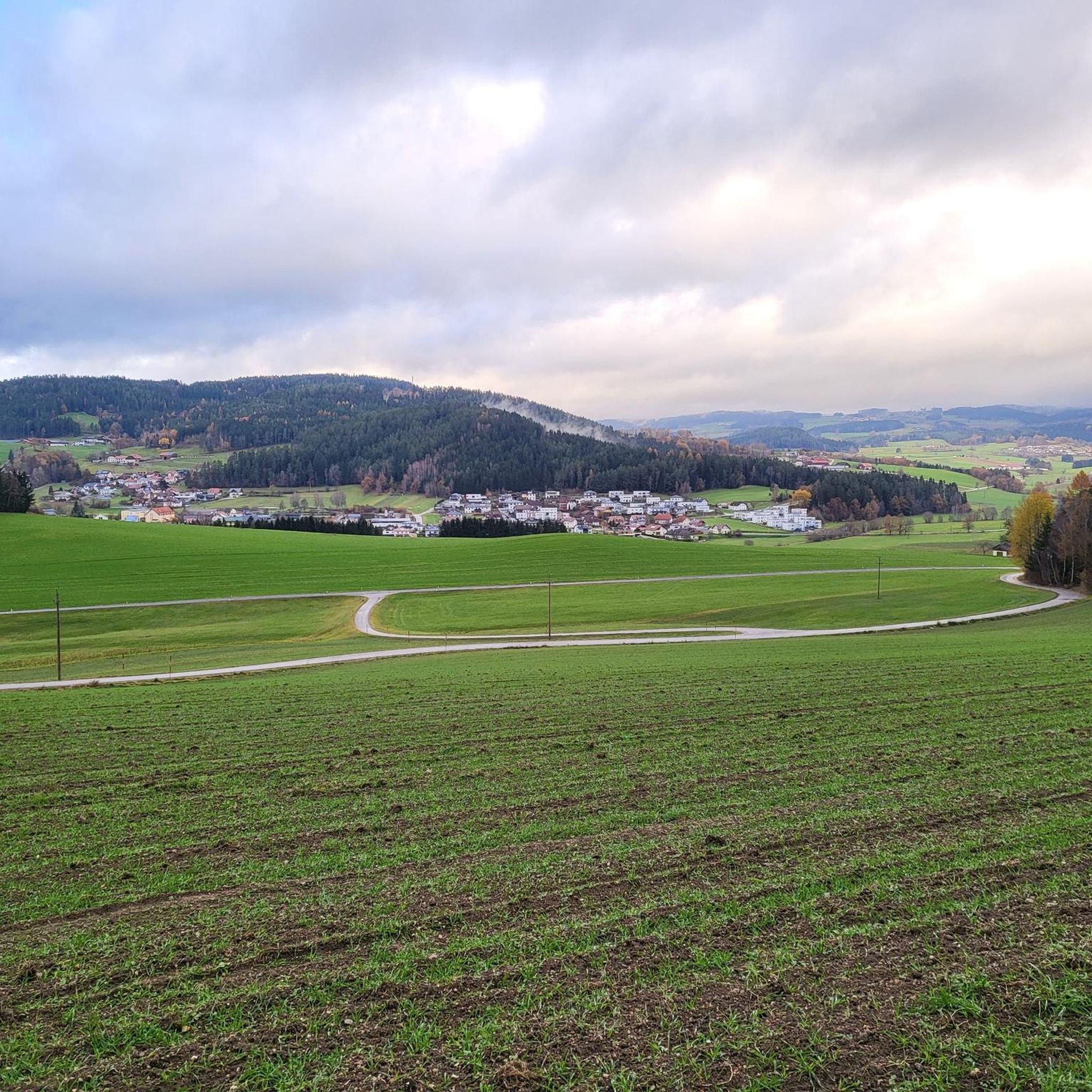
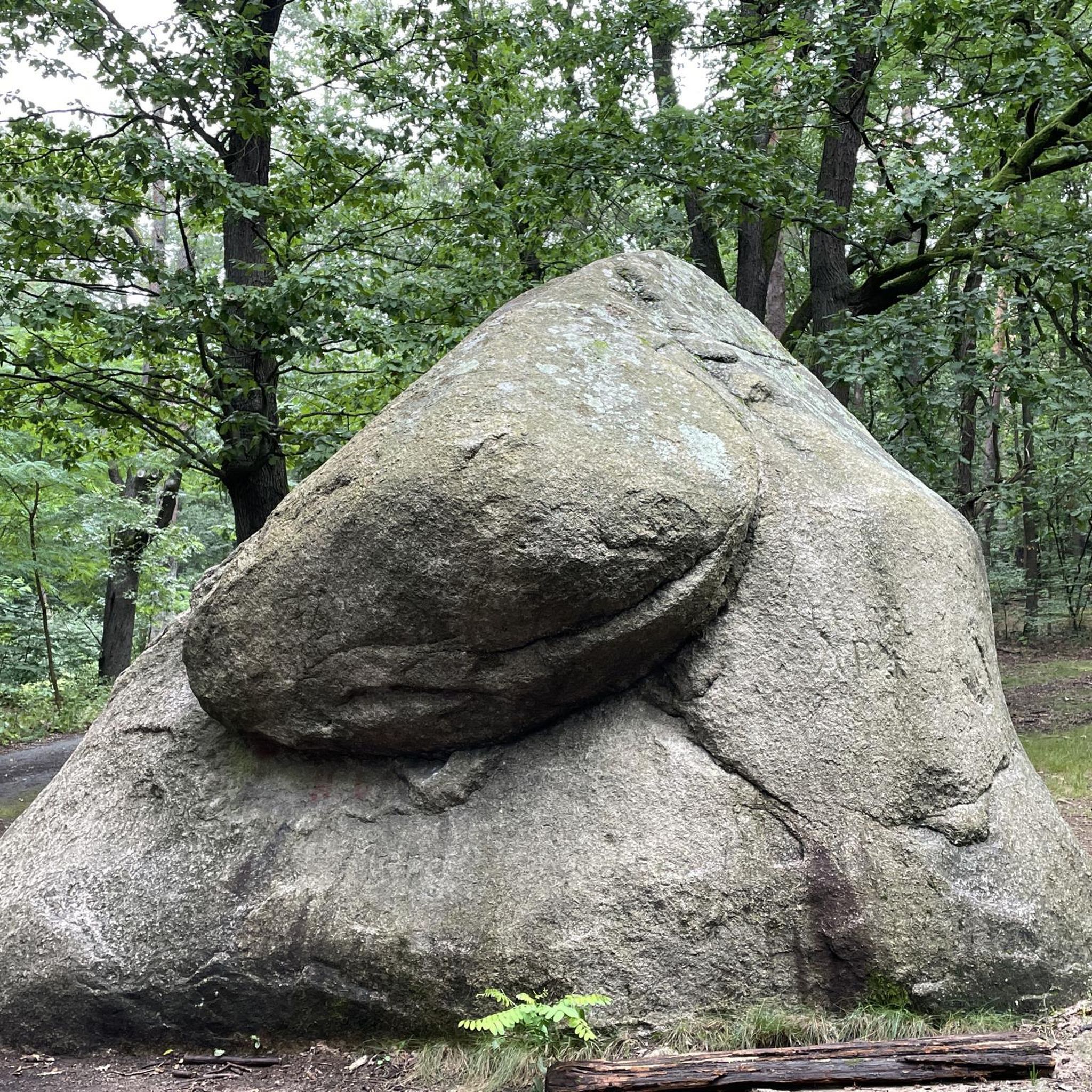
Other adventures around Lasberg

Tips from the Community

The Bründl Chapel near St. Leonhard was built in 1728 and is now one of the municipality's listed buildings. Located on the old road to Ennsedt, it exudes a special sense of tranquility with its simple Baroque architecture, dome-like ceiling, and statue of the praying Virgin Mary. According to tradition, the spring water that springs here has healing powers—especially for the eyes and ears—which is why the chapel remains a popular place of contemplation to this day. A visit can be wonderfully combined with a bike ride, for example, on the Haiderberg panoramic view trail, which leads to the highest point in the municipality. From there, a wide view of the hilly landscape of the Mühlviertel opens up before you return to the chapel and take in the tranquil setting at the Bründl.
0
0

A visit to the stones just below St. Leonhard can be combined with a beautiful shady walk around the Mühlberg and Wimberg on the "Mühlberg Circular Trail 3"
0
0
The density of the great scenic granite formations and also the many unnamed ones in the forests is incredible in this area 🤩
0
0
From the chapel you have a direct view of the granite dome on the Haiderberg opposite
1
0

You should have seen it before!! and you almost walk right past it
0
0
Great little summit cross - the view is great!!
0
0

The Bründl Chapel was built in 1728. In the past, the water could be taken directly from the chapel. Today we find the spring water outside, collected in a stone basin. A place of power to rest and become still. The clear water makes for a clear mind.
1
0
Frequently Asked Questions
What kind of terrain can I expect on mountaineering routes around Lasberg?
The mountaineering routes around Lasberg are characterized by the picturesque Mühlviertel region, offering a varied landscape of forests, river valleys, and rolling hills. You'll encounter unique granite formations, ravine forests, and flowering meadows. The terrain includes both gentle paths and more demanding routes with significant elevation gain, catering to various fitness levels.
Are there any challenging mountaineering routes for experienced hikers near Lasberg?
Yes, for experienced mountaineers seeking a challenge, the region offers demanding routes. For instance, the Herzogreitherfelsen – Doomsday Stones loop from St. Leonhard bei Freistadt is a difficult 12.1-mile (19.4 km) path that traverses varied terrain, including notable rock formations and dense woodlands. The 'Four Mountains Route' near Freistadt also involves an elevation gain of approximately 1000 meters over 24 km.
What are some notable natural features or viewpoints I can discover on these routes?
The region is rich in natural features and offers breathtaking panoramic views. You can explore unique granite rock formations, particularly along trails like the 50-kilometer Stoakraftweg. Elevated points such as the Hoh-Haus at Buchberg Observation Tower provide scenic overlooks. On clear days, you might even catch glimpses of the Alps to the south from various summits.
Are there any circular mountaineering routes around Lasberg?
Yes, several routes are designed as loops, allowing you to start and end in the same location. A popular option is the Buchberg – Braunberg Hut loop from Lasberg, which is 6.9 miles (11.1 km) long and leads through forested areas with panoramic viewpoints. Another is the Buchberg – Elzer Stub'n loop from Kefermarkt, a moderate 5.6-mile (9.0 km) trail.
What historical sites or landmarks can I see while mountaineering in the area?
Some routes integrate historical sites, offering a blend of nature and culture. For example, the 'Drei-Burgen-Runde' near Lasberg allows you to explore medieval castle ruins like Riedegg, Reichenstein, and Weinberg Castles. The ruin of Dornach Castle, dating back to 1416, is also accessible via a path from Lasberg. You can also visit the Prandegg Castle Ruins and Tavern.
Are there any family-friendly mountaineering options around Lasberg?
While many routes offer significant elevation gain, the varied terrain includes paths suitable for families. Look for routes described as 'moderate' which might offer a good balance of challenge and accessibility. The region's extensive hiking network provides options for different fitness levels, so you can choose a path that suits your family's experience.
What is the best time of year for mountaineering in Lasberg?
The Mühlviertel region is generally enjoyable for hiking from spring through autumn. During these seasons, the weather is typically more stable, and the trails are clear. Spring brings flowering meadows, while autumn offers vibrant foliage. While winter mountaineering is possible, conditions can be more challenging due to snow and ice, requiring appropriate gear and experience.
Are there places to eat or stay near the mountaineering trails?
Lasberg and the surrounding villages in the Mühlviertel region offer various options for refreshments and accommodation. You'll find local cafes and pubs where you can refuel after your hike. For instance, the Braunberg Hut is a highlight that can be found along some routes, providing a place to rest and enjoy the surroundings.
What do other mountaineers appreciate about the routes in Lasberg?
Mountaineers using komoot to explore Lasberg's varied terrain often praise the diverse landscapes, from dense woodlands to open rolling hills, and the impressive granite formations. The routes offer a good mix of moderately challenging and difficult paths, providing rewarding experiences with expansive views, especially from elevated points like the Großer Zeißberg Summit.
How many mountaineering routes are available in this guide for Lasberg?
This guide features 4 distinct mountaineering routes around Lasberg. These include 3 moderate routes and 1 difficult route, offering a range of options for different skill levels.
Are there any routes that are particularly good for spotting wildlife?
The region's varied landscape of forests, river valleys, and meadows provides a rich habitat for local wildlife. While specific routes aren't designated for wildlife spotting, hiking through the dense woodlands and quiet natural areas, especially during dawn or dusk, increases your chances of observing local fauna in their natural environment.
What is the elevation gain like on these mountaineering routes?
The mountaineering routes around Lasberg offer significant elevation gains, reflecting the region's rolling hills. For example, the difficult Herzogreitherfelsen – Doomsday Stones loop involves an ascent of over 630 meters. Even moderate routes like the Buchberg – Braunberg Hut loop feature nearly 500 meters of elevation gain, providing a good workout and rewarding views.
Most popular routes around Lasberg
Most popular attractions around Lasberg

Get inspired with the komoot mobile app


Explore more
Browse the best Mountain Hikes & Routes in other regions.
