The best mountain hikes around Rudersberg
8
hikers
5
hikes
Mountaineering around Rudersberg features a landscape characterized by forested hills, deep gorges, and serene lakes within the Rems-Murr-Kreis region. The terrain offers a mix of elevation changes, with routes often following river valleys and leading to natural features like waterfalls. This area provides opportunities for exploring diverse natural environments, from dense woodlands to open water bodies.
Best mountaineering routes around Rudersberg
- The most popular mountaineering route is Wieslauf Gorge Waterfall – Ebnisee loop from Wieslaufschlucht und Edenbachschlucht, a 8.0…
Last updated: July 1, 2026
2
hikers
Moderate mountaineering route. Good fitness required. Easily-accessible paths. Suitable for all skill levels.
2
hikers
14.1km
03:48
180m
180m
Moderate mountaineering route. Good fitness required. Easily-accessible paths. Suitable for all skill levels.

Sign up for free
2
hikers
12.5km
03:22
160m
160m
Moderate mountaineering route. Good fitness required. Easily-accessible paths. Suitable for all skill levels.
2
hikers
12.7km
03:33
230m
230m
Moderate mountaineering route. Good fitness required. Easily-accessible paths. Suitable for all skill levels.
6.72km
01:49
90m
90m
Easy mountaineering route. Great for any fitness level. Easily-accessible paths. Suitable for all skill levels.
Our route recommendations are based on thousands of hikes, rides, and runs completed by other people on komoot.
Start today with a free account
Your next adventure awaits.
Login or Signup
Popular around Rudersberg
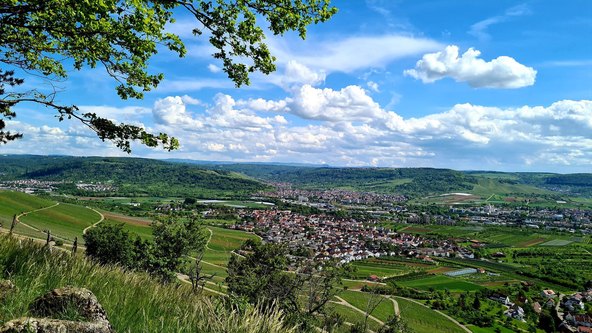
City, Country, River: Rems-Murr-Wanderweg
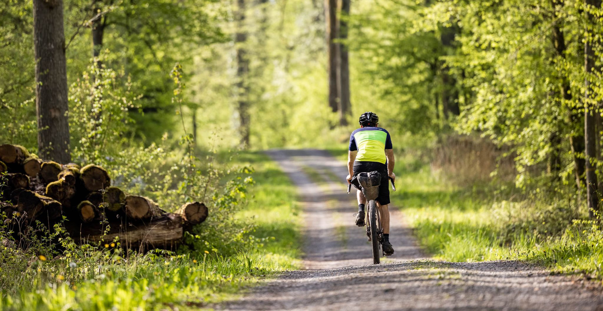
Dive deep into Baden-Württemberg's nature on a gravel bike in Germany
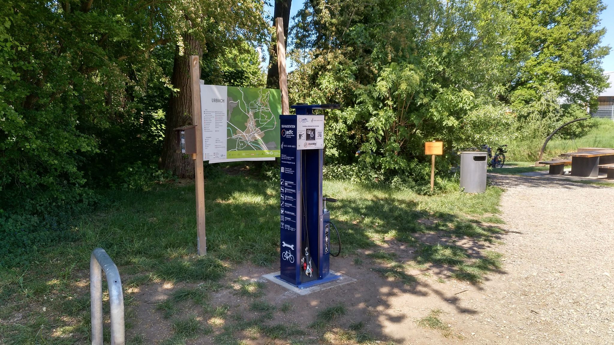
Bicycle service stations in Rems-Murr-Kreis
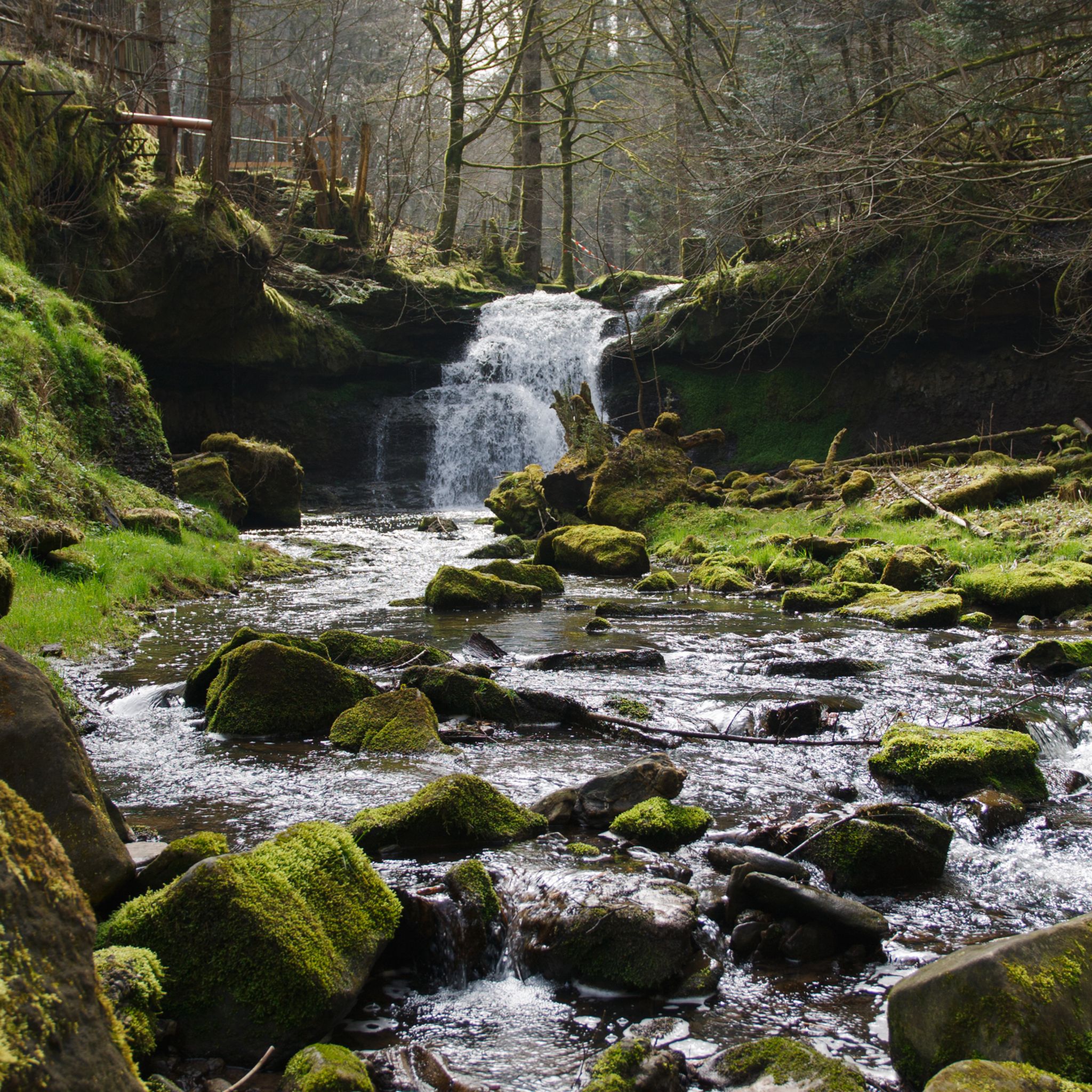
Hiking around Rudersberg
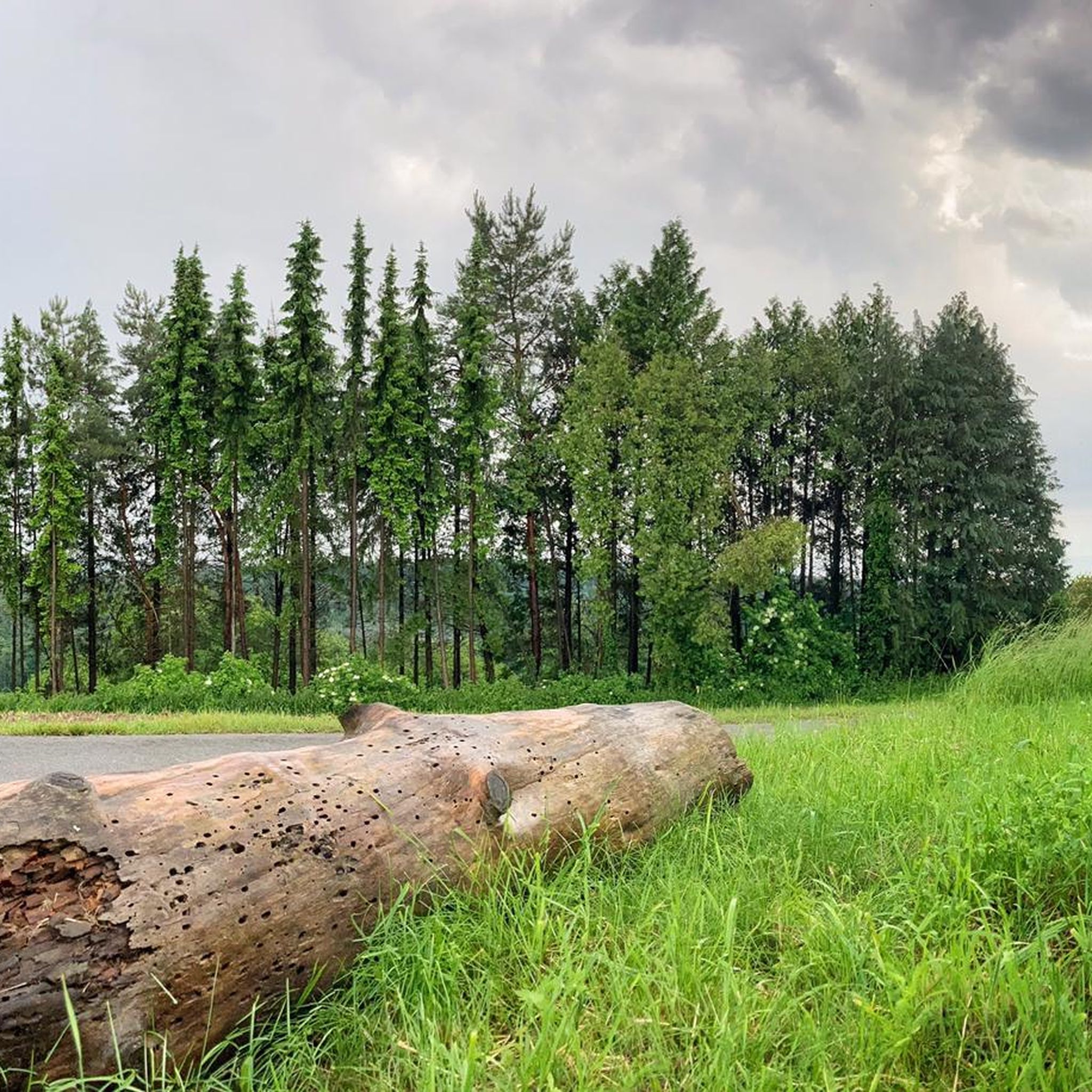
Cycling around Rudersberg
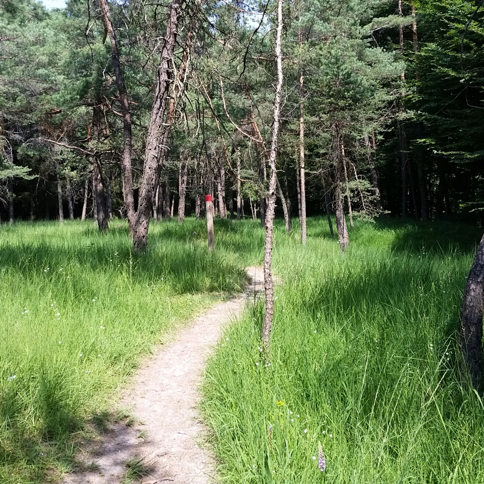
MTB Trails around Rudersberg
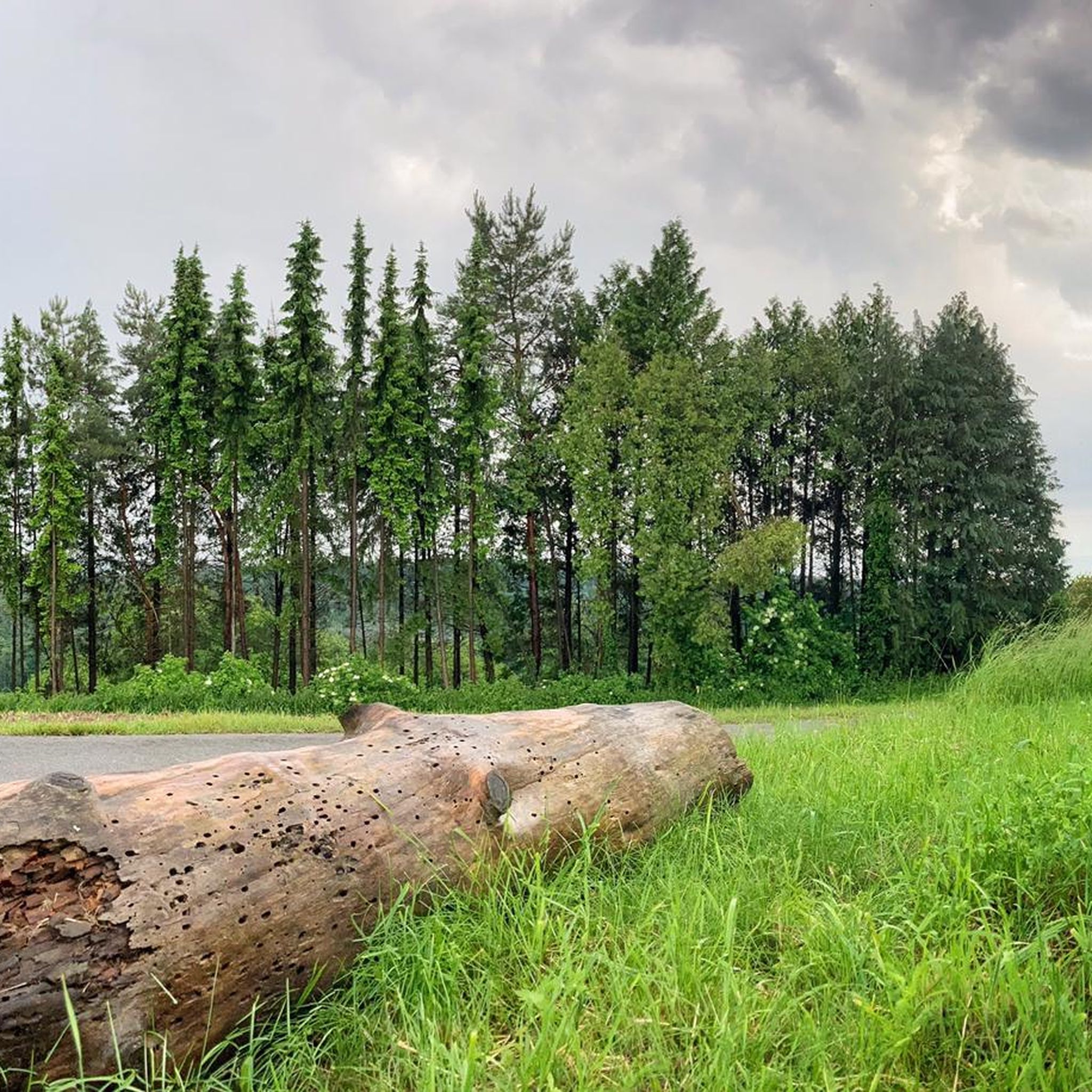
Road Cycling Routes around Rudersberg
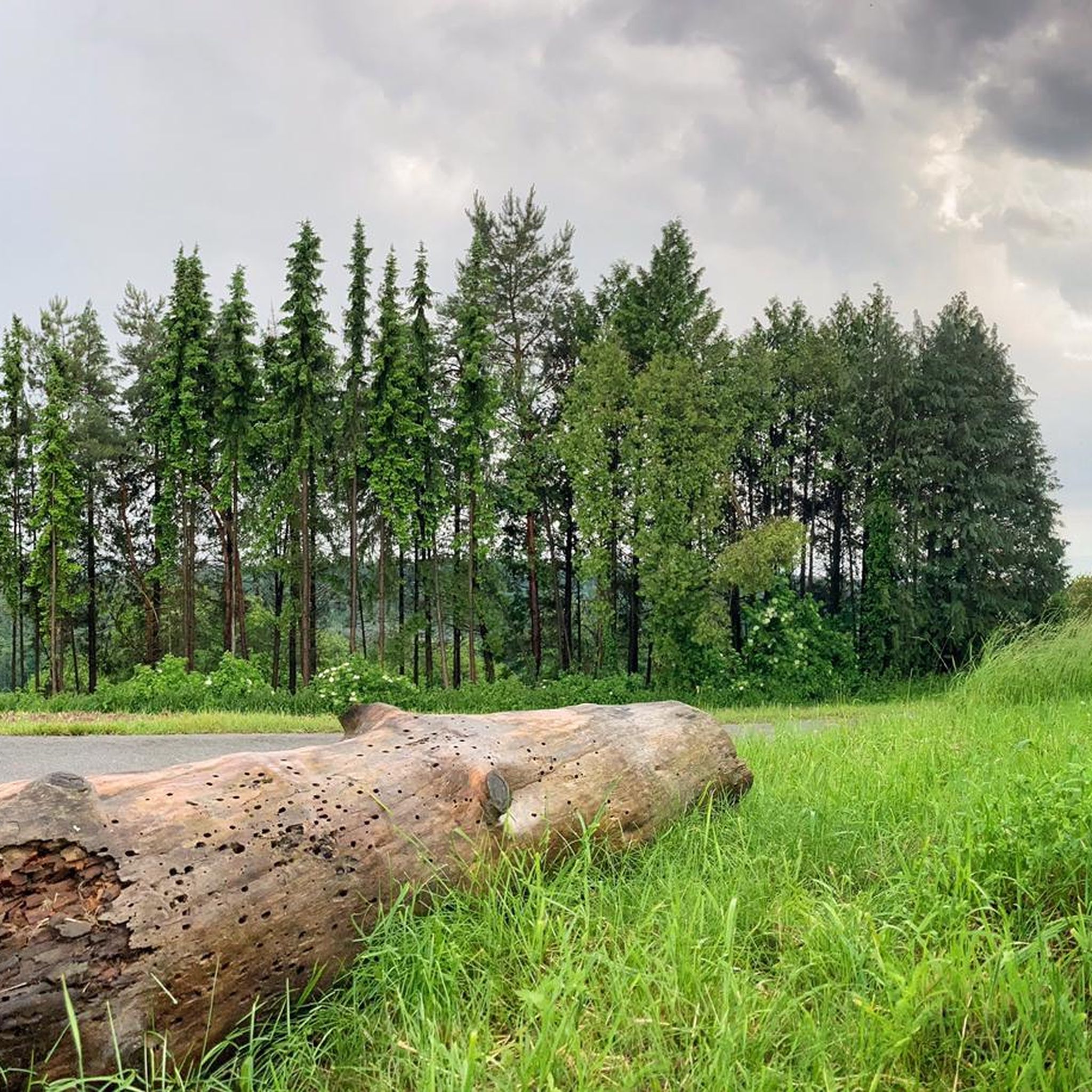
Running Trails around Rudersberg

Gravel biking around Rudersberg
Other adventures around Rudersberg


Tips from the Community

Well-known routes such as the Schützenhausweg circular hiking trail or extensive tours over the nearby Haube lead over the hill and through the Käsbühlstraße of the same name. A playground on Käsbühlstraße serves as a landmark for families.
0
0

nice barbecue area, there is a small trail passable with a gravel bike towards Heinlesmühle
0
0


In the drained lake you can see the sandbank as a hill
0
1

A beautiful circular path leads around the idyllic Hagerwaldsee lake, with numerous benches inviting you to relax.
3
0

refreshing spring water with a bench to rest
0
0

A nice quiet place to barbecue and enjoy nature.
0
0

Almost the entire route is closed and impassable! Please do not hike there. It is extremely dangerous. The road will also be closed starting in August.
2
1
Frequently Asked Questions
How many mountaineering routes are available around Rudersberg?
There are 5 distinct mountaineering routes around Rudersberg listed on komoot, offering a range of experiences from easy to moderate difficulty.
Are there any easy mountaineering routes suitable for beginners in Rudersberg?
Yes, there is one easy mountaineering route. The Backnang Outdoor Pool – Murr Weir loop from Backnang is a 4.2-mile (6.7 km) path that takes approximately 2 hours to complete, making it a great option for those new to mountaineering or looking for a more relaxed outing.
What kind of natural features can I expect to see on mountaineering routes in Rudersberg?
The routes in Rudersberg showcase a diverse landscape, including forested hills, deep gorges, and serene lakes. You'll encounter river valleys, dense woodlands, and open water bodies. Notable features include waterfalls like the Geldmachersklinge Waterfall and the Forellensprung Waterfall, as well as unique geological formations such as the Kesselgrotte (Sandstone Cave).
Are there any circular mountaineering routes in the Rudersberg area?
Yes, all the mountaineering routes listed for Rudersberg are circular. For example, the Wieslauf Gorge Waterfall – Ebnisee loop from Wieslaufschlucht und Edenbachschlucht offers a scenic round trip through a gorge and past a waterfall.
Are there any routes that feature lakes or water bodies?
Several routes incorporate beautiful water features. The Ebnisee – Wieslauf Gorge Waterfall loop from Althütte provides views of Ebnisee lake, while the Hagerwald Lake – Brunnenklinge Sandstone Gorge loop from Kaisersbach leads you past Hagerwald Lake.
What is the best time of year for mountaineering in Rudersberg?
The Rems-Murr-Kreis region, where Rudersberg is located, is generally best for mountaineering from spring through autumn. During these seasons, the weather is milder, and the trails through the forested hills and river valleys are most accessible and enjoyable. Winter can bring snow and ice, making some routes more challenging.
Are there any huts or places to stop for refreshments along the routes?
Yes, the area around Rudersberg features several huts and facilities. You might find places like the Eschelhof Hiking Lodge or the Klara Hut. Additionally, the Beinsteiner Seele Water Wheel and Recreation Area offers a pleasant spot to rest.
What should I wear for mountaineering in Rudersberg?
Given the varied terrain of forested hills and potential for elevation changes, it's advisable to wear sturdy hiking boots with good ankle support. Layered clothing is recommended to adapt to changing weather conditions, and waterproof outerwear is useful, especially if exploring near waterfalls or during unexpected rain showers.
Are there any routes that offer views or interesting geological formations?
Absolutely. The region is known for its deep gorges and sandstone formations. The Hagerwald Lake – Brunnenklinge Sandstone Gorge loop from Kaisersbach specifically highlights a sandstone gorge. Many routes also offer scenic viewpoints over the forested landscape.
Are there any hidden gems or less-traveled routes in the area?
While all routes offer unique experiences, the Kasbühl Hut loop from Seegut-Semmlersberg is a moderate 7.9-mile (12.7 km) trail that takes you through varied terrain, offering a chance to explore a different part of the Rudersberg landscape away from the more frequently visited spots.
Is public transport available to access the mountaineering trails?
While specific public transport connections to every trailhead are not detailed, Rudersberg is part of the Rems-Murr-Kreis region, which generally has regional bus and train services. It's recommended to check local transport schedules for connections to the starting points of your chosen routes.
Most popular routes around Rudersberg
Most popular attractions around Rudersberg

Get inspired with the komoot mobile app


Explore more
Browse the best Mountain Hikes & Routes in other regions.
