The best running trails around Troporiz
4.8
(7)
150
runners
14
runs
Jogging around Troporiz offers a diverse experience through its natural landscapes and dedicated paths. The region features serene riverside paths, such as those indicated by a "Paseo Fluvial," providing flat terrain ideal for running. Natural parks like Parque Natura Monte Aloia offer varied terrain, while ecovias and boardwalk systems, such as Ecovia do Vez - Passadiço do Sistelo, provide structured routes amidst nature. The wider area also includes features like the Serra Amarela, contributing to a rich and varied environment…
Last updated: October 17, 2026
24
runners
17.7km
01:51
160m
160m
Hard run. Very good fitness required. Mostly paved surfaces. Suitable for all skill levels.
21
runners
6.55km
00:41
30m
30m
Moderate run. Good fitness required. Mostly paved surfaces. Suitable for all skill levels.

9
runners
7.22km
00:46
60m
60m
Moderate run. Good fitness required. Mostly paved surfaces. Suitable for all skill levels.
5
runners
11.4km
01:12
60m
60m
Moderate run. Good fitness required. Mostly paved surfaces. Suitable for all skill levels.
6
runners
Easy run. Great for any fitness level. Mostly paved surfaces. Suitable for all skill levels.
Get access to more routes and recommendations from other explorers.
Already have an account?
Our route recommendations are based on thousands of hikes, rides, and runs completed by other people on komoot.
Start today with a free account
Your next adventure awaits.
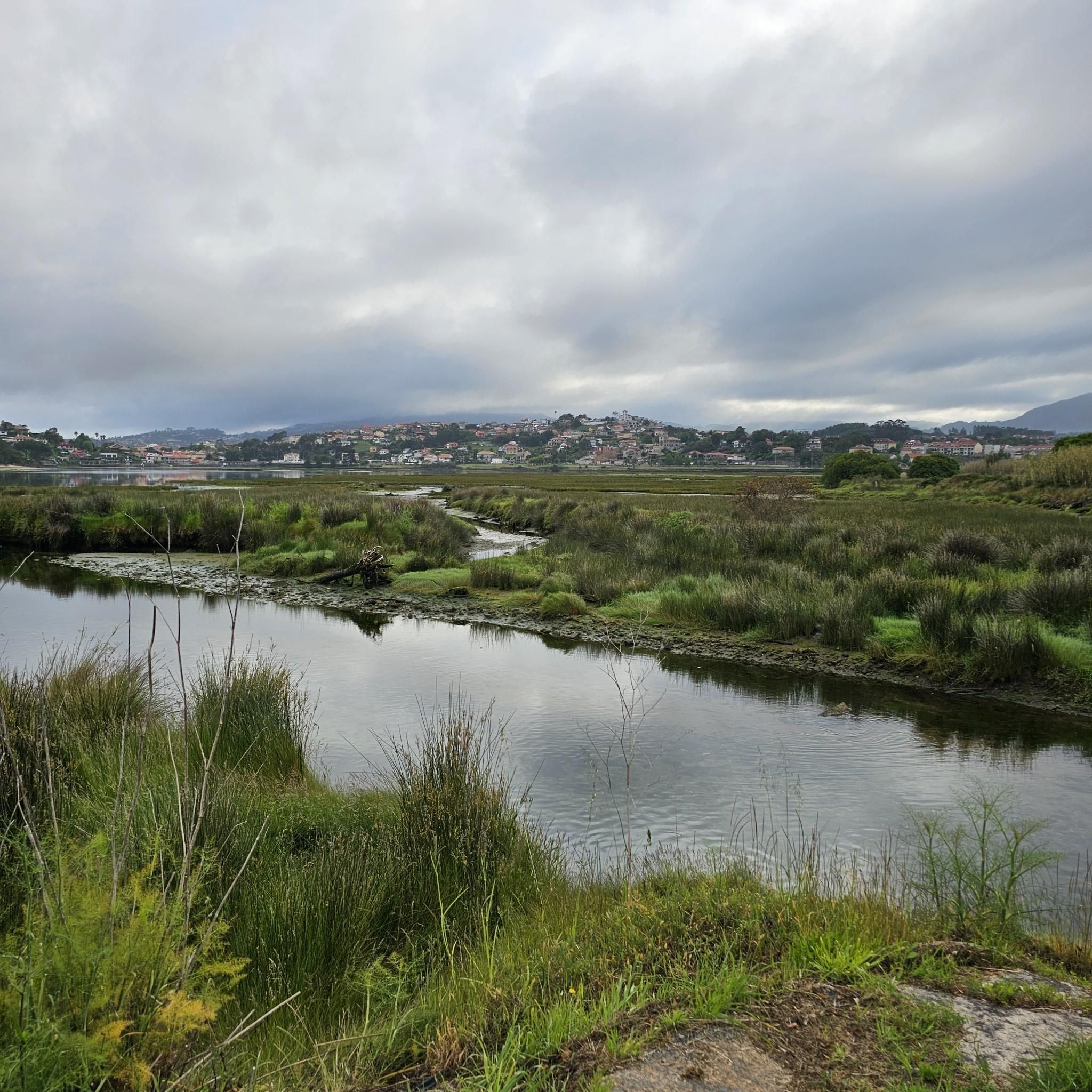
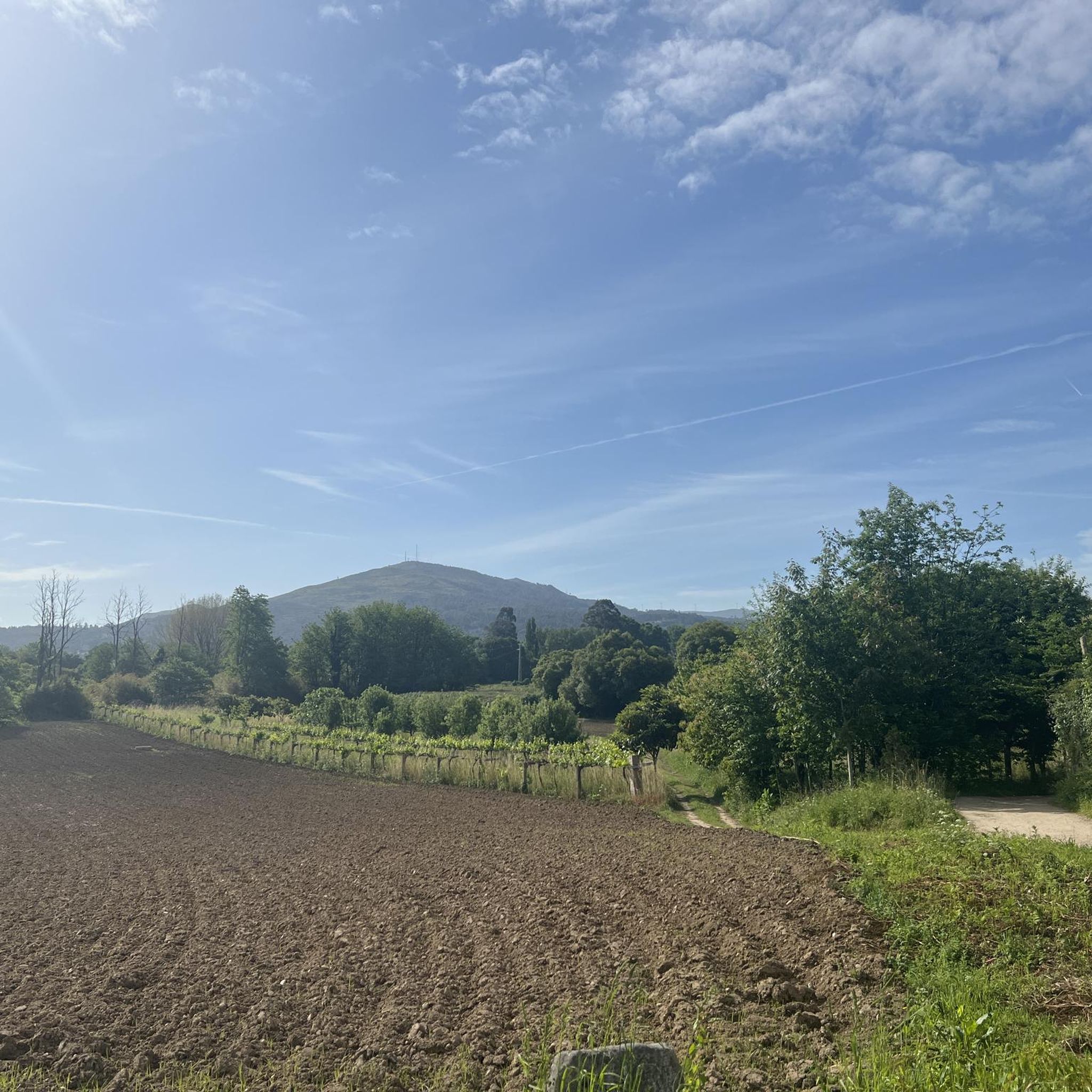
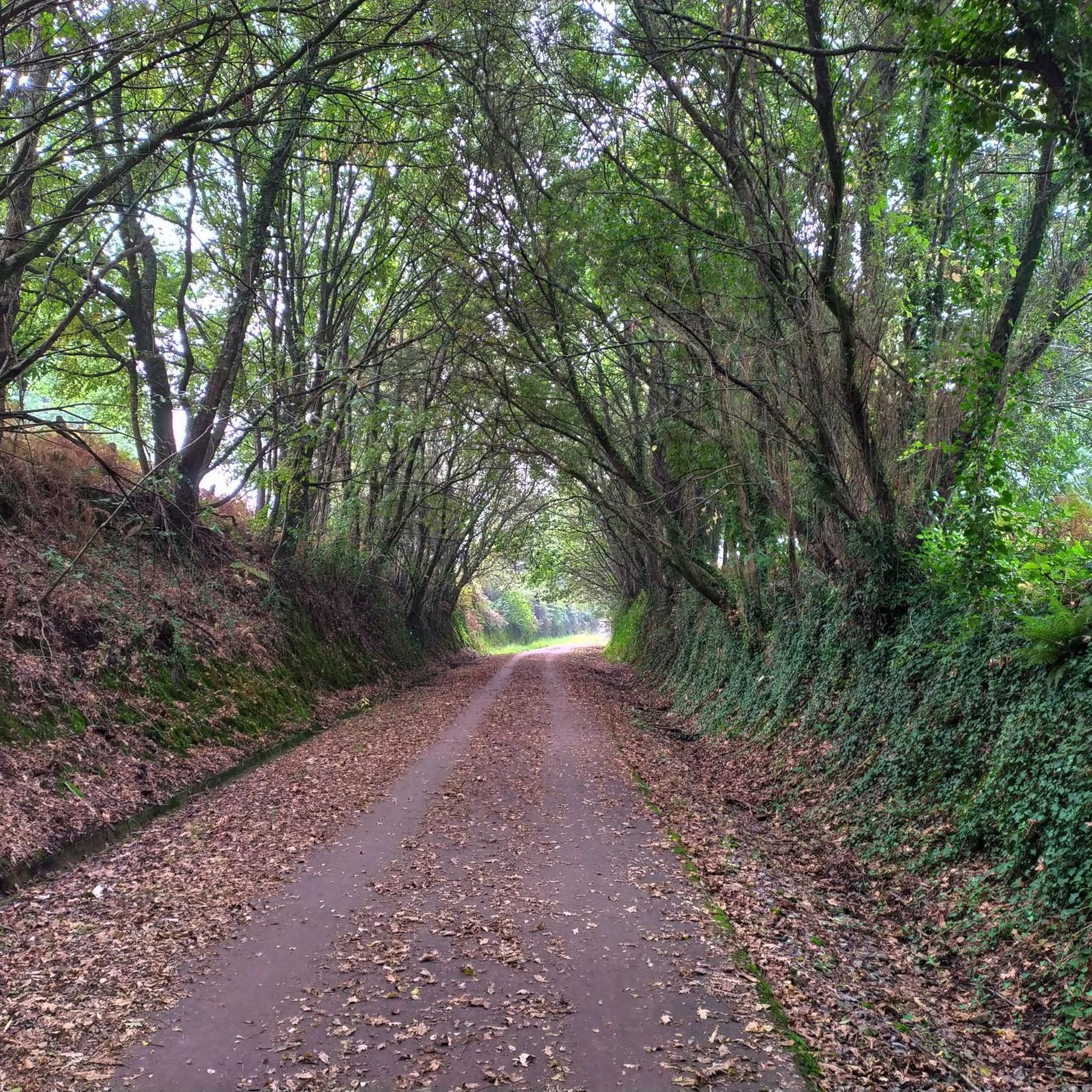
Tips from the Community

The wooden walkways stretch along the city walls of Monção and the banks of the Minho River to the stunning Parque das Caldas, always with views of neighboring Galicia. Inaugurated in 2021, they are a great way to reach Fortaleza de Monção.
1
0

The old Friestas Railway Station, once a stop on the Minho Line, has not received trains for over 40 years. Opened on 15 June 1913, it connected Valença to Lapela and was once served by trains between Porto - São Bento and Lapela. Today, all that remains is the memory of a time when the tracks still told stories of travel.
2
0

Friestas station/stop was part of the Minho Line railway section that closed in 1990. In 2004, this railway section was converted into an eco-track, now known as the Dão Eco-track.
1
0

Wooden walkway that does not appear on the map.
1
0

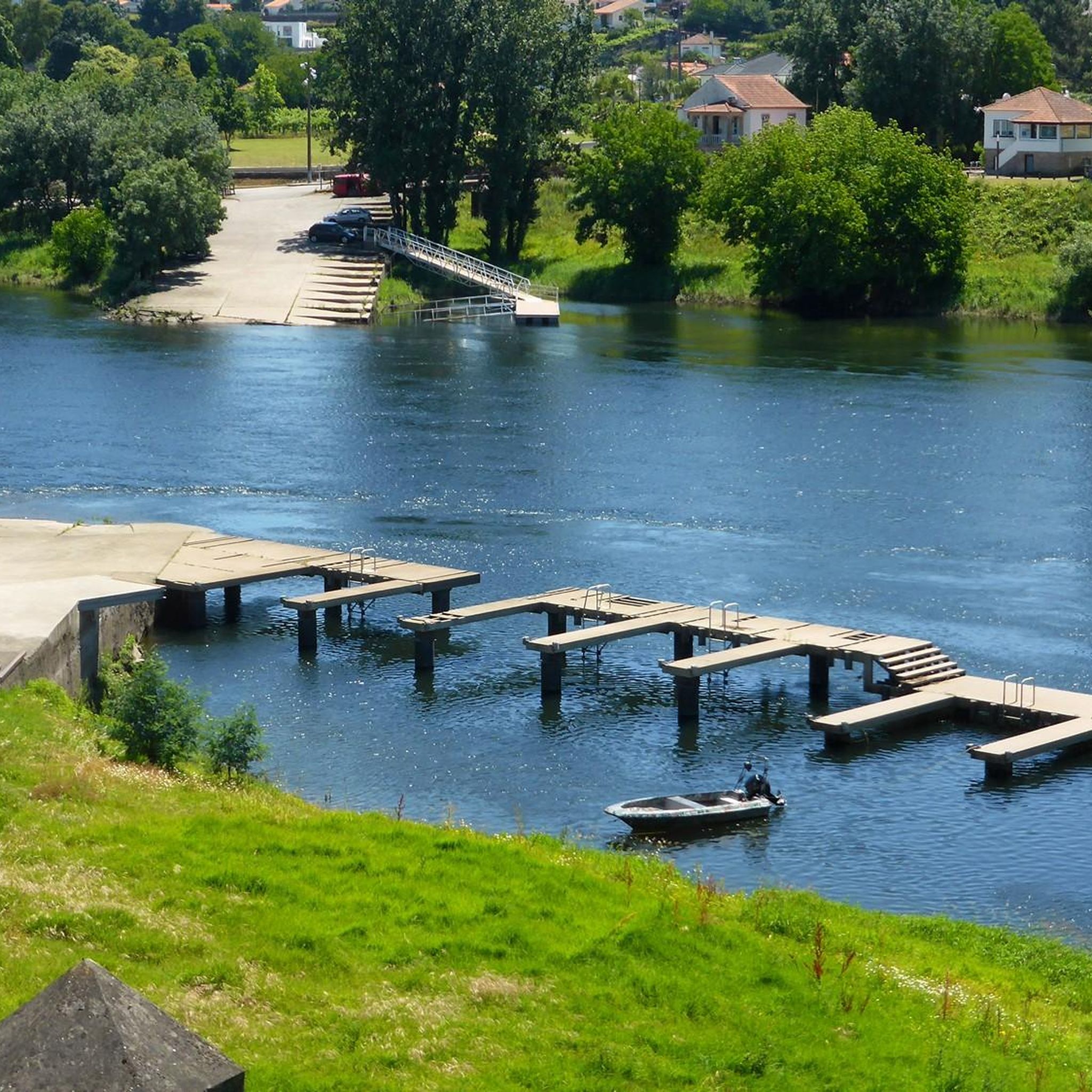
The original fortress was built almost a thousand years ago, back in the 10th or perhaps the 11th. The original wall that surrounds the castle dates from the 12th century and its main purpose was to defend the town from the constant attacks of the then Lusitanians (An Indo-European people living in the west of the Iberian Peninsula prior to its conquest by the Roman Republic and the subsequent incorporation of the territory into the Roman province of Lusitania.). In the 17th century, in the conflict of the Portuguese war of independence, it was completely renovated giving it its current appearance, although many defensive structures have disappeared over time. The plan of the fortress is rectangular and has no more and no less than 9,700 m2. Very few years ago, the only way to cross the river and go to the neighboring country was by using the ferry that joined the two banks aided by a large metallic cable that made sure that the barge was not dragged by the waters of the river. The docks and the old border customs are still preserved. A Good Reference: https://www.galiciamaxica.eu/galicia/pontevedra/comarca-do-condado/salvaterra-do-mino/fortaleza-de-salvaterra/
1
0
Frequently Asked Questions
How many running routes are available in Troporiz?
Troporiz offers several dedicated running routes, with a total of 4 trails currently listed on komoot. These routes provide diverse experiences through the region's natural landscapes.
What kind of terrain can I expect on jogging trails in Troporiz?
You can expect a variety of terrain. Many routes feature serene riverside paths, such as those along a "Paseo Fluvial," which are often flat and ideal for running. Natural parks like Parque Natura Monte Aloia offer more varied terrain, while dedicated ecovias and boardwalk systems, such as Ecovia do Vez - Passadiço do Sistelo, provide structured paths amidst nature.
Are there running routes suitable for beginners in Troporiz?
While there are no routes specifically graded as 'easy' on komoot, several moderate options are suitable for beginners looking for a gentle challenge. For instance, the Running loop from Estrada is a moderate 5.1 km trail that takes about 34 minutes to complete, offering accessible running through local surroundings.
Are there longer running routes for more experienced joggers?
Yes, for those seeking a longer challenge, the Lovers' Viewpoint loop from Salvaterra de Miño is a difficult 17.8 km trail that leads through varied terrain and typically takes over 2 hours to complete. Another good option is the moderate Running loop from Verdoejo, which is 11.4 km long.
Can I find circular running routes in Troporiz?
Yes, all the running routes listed on komoot for Troporiz are circular loops, allowing you to start and finish at the same point. This includes popular options like the Running loop from Salceda de Caselas, a moderate 7.8 km route.
Are there any scenic running paths along the water?
Absolutely. The region is known for its serene riverside paths, often referred to as "Paseo Fluvial," which are perfect for waterside views while jogging. Additionally, the Ecopista of the Minho River offers a dedicated path along the river, providing a beautiful setting for a run. You can explore sections of it, such as the Ecopista of the Minho River: Monção to Valença.
What are some points of interest or landmarks I can see while jogging in Troporiz?
Many routes offer glimpses of historical and natural landmarks. You might encounter picturesque bridges like Ponte da Veiga, the Pilgrims' Bridge, or Ponte de Fillaboa. The region also features natural parks and areas with commanding views, such as those found in Serra Amarela.
Are the jogging routes in Troporiz suitable for families?
Yes, many of the routes, especially those along riverside paths or within local parks like Parque da Canuda and Parque das Caldas, are suitable for families. These often provide flatter, well-maintained surfaces. The dedicated ecovias, such as Ecovia do Vez - Passadiço do Sistelo, also offer safe and scenic environments for family runs.
What do other runners enjoy the most about jogging in Troporiz?
The running trails in Troporiz are highly rated by the komoot community, with an average score of 5.0 stars. Runners often praise the diverse natural landscapes, from serene riverside paths to varied terrain in natural parks, and the well-structured ecovias that make for an enjoyable experience.
Are there any running routes that offer significant elevation changes?
Yes, if you're looking for more challenging climbs, routes like the Lovers' Viewpoint loop from Salvaterra de Miño feature over 230 meters of elevation gain. Another option with notable elevation is the Xacemento Portomaior loop from As Neves, which includes over 214 meters of ascent.
Can I find running routes with good parking access in Troporiz?
While specific parking details for each route are not always listed, many routes start from accessible points in or near towns, making parking generally convenient. For routes that venture into natural parks or ecovias, designated parking areas are often available at trailheads.
Is Troporiz a good place for wildlife spotting while running?
The natural parks and riverside areas around Troporiz, such as Parque Natura Monte Aloia and the Paseo Fluvial, offer opportunities for wildlife spotting. While running, you might encounter various bird species and local flora, especially in the quieter, more natural sections of the trails.
Most popular routes around Troporiz
Most popular attractions around Troporiz

Get inspired with the komoot mobile app


Explore more
Browse the best Running Trails & Routes in other regions.
