The best mountain hikes around gmina Dobczyce
4.9
(27)
174
hikers
7
hikes
Mountaineering routes around gmina Dobczyce are characterized by a diverse landscape, transitioning from the rolling green hills of the Wielickie Foothills to the more challenging "island" peaks of the Beskid Wyspowy mountain range. The region features significant elevation gains, particularly in the Beskid Wyspowy, where peaks like Lubomir rise to over 900 meters. Lake Dobczyce, an artificial reservoir, adds a distinct natural feature, with routes often offering views of its waters and the surrounding varied terrain.
Best mountaineering routes around…
Last updated: July 1, 2026
4.7
(7)
42
hikers
6.25km
02:07
320m
320m
Moderate mountaineering route. Good fitness required. Easily-accessible paths. Suitable for all skill levels.
5.0
(2)
11
hikers
14.9km
04:37
510m
510m
Moderate mountaineering route. Good fitness required. Easily-accessible paths. Suitable for all skill levels.

Sign up for free
5.0
(2)
10
hikers
9.62km
03:14
480m
470m
Moderate mountaineering route. Good fitness required. Easily-accessible paths. Suitable for all skill levels.
5.0
(1)
11
hikers
13.0km
03:53
390m
390m
Moderate mountaineering route. Good fitness required. Easily-accessible paths. Suitable for all skill levels.
5.0
(2)
5
hikers
11.0km
03:32
440m
440m
Moderate mountaineering route. Good fitness required. Easily-accessible paths. Suitable for all skill levels.
Get access to more routes and recommendations from other explorers.
Sign up for free
Already have an account?
Our route recommendations are based on thousands of hikes, rides, and runs completed by other people on komoot.
Start today with a free account
Your next adventure awaits.
Login or Signup
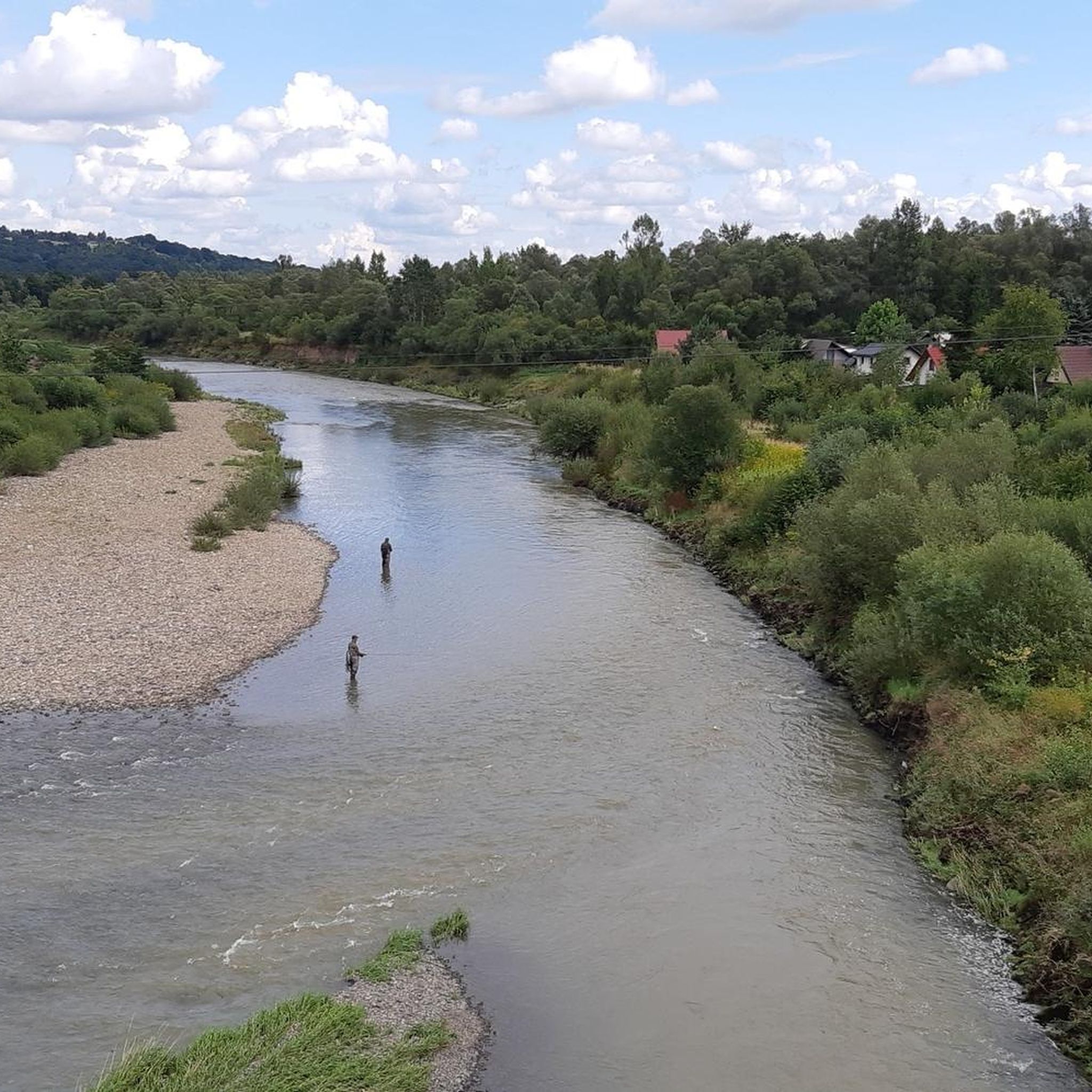
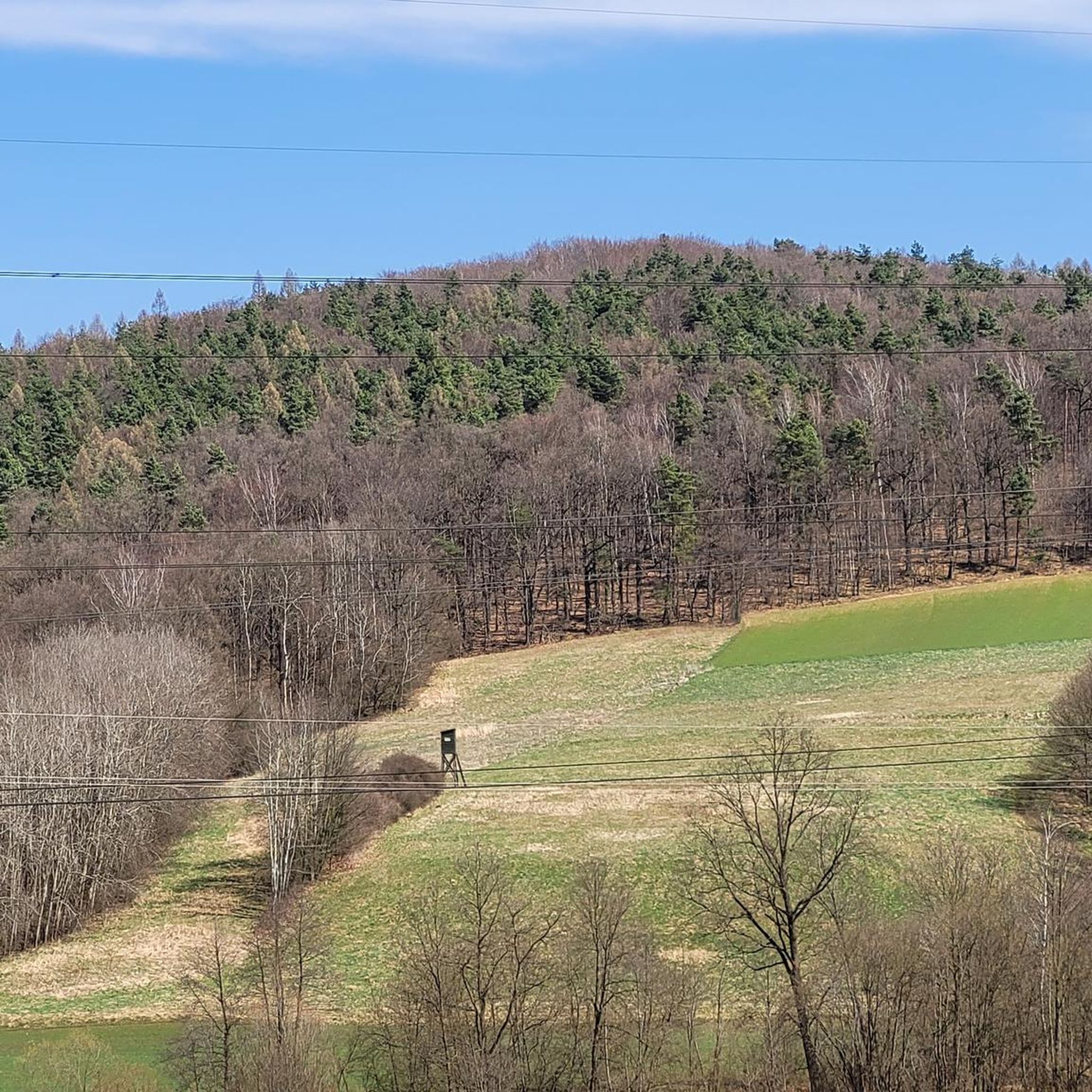
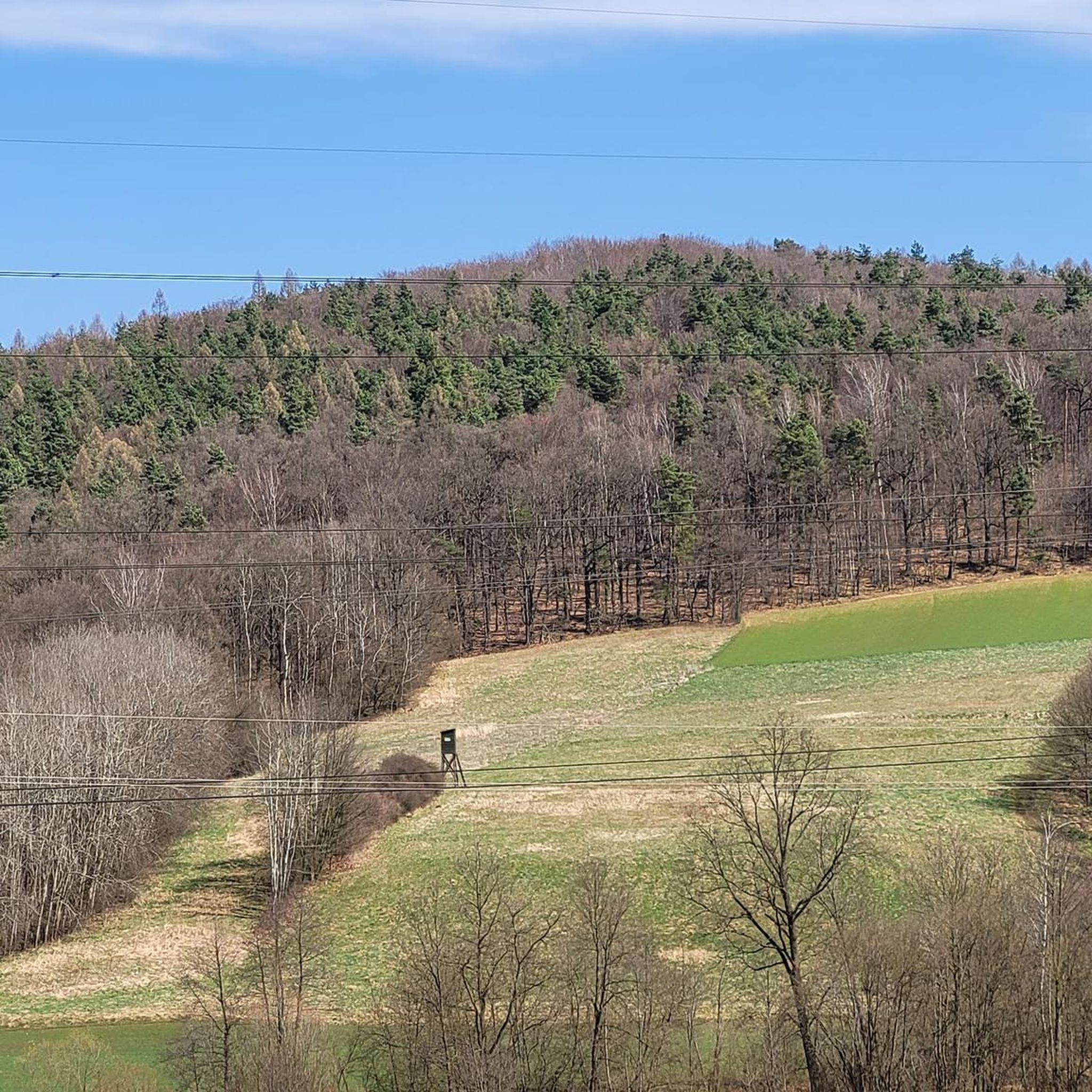
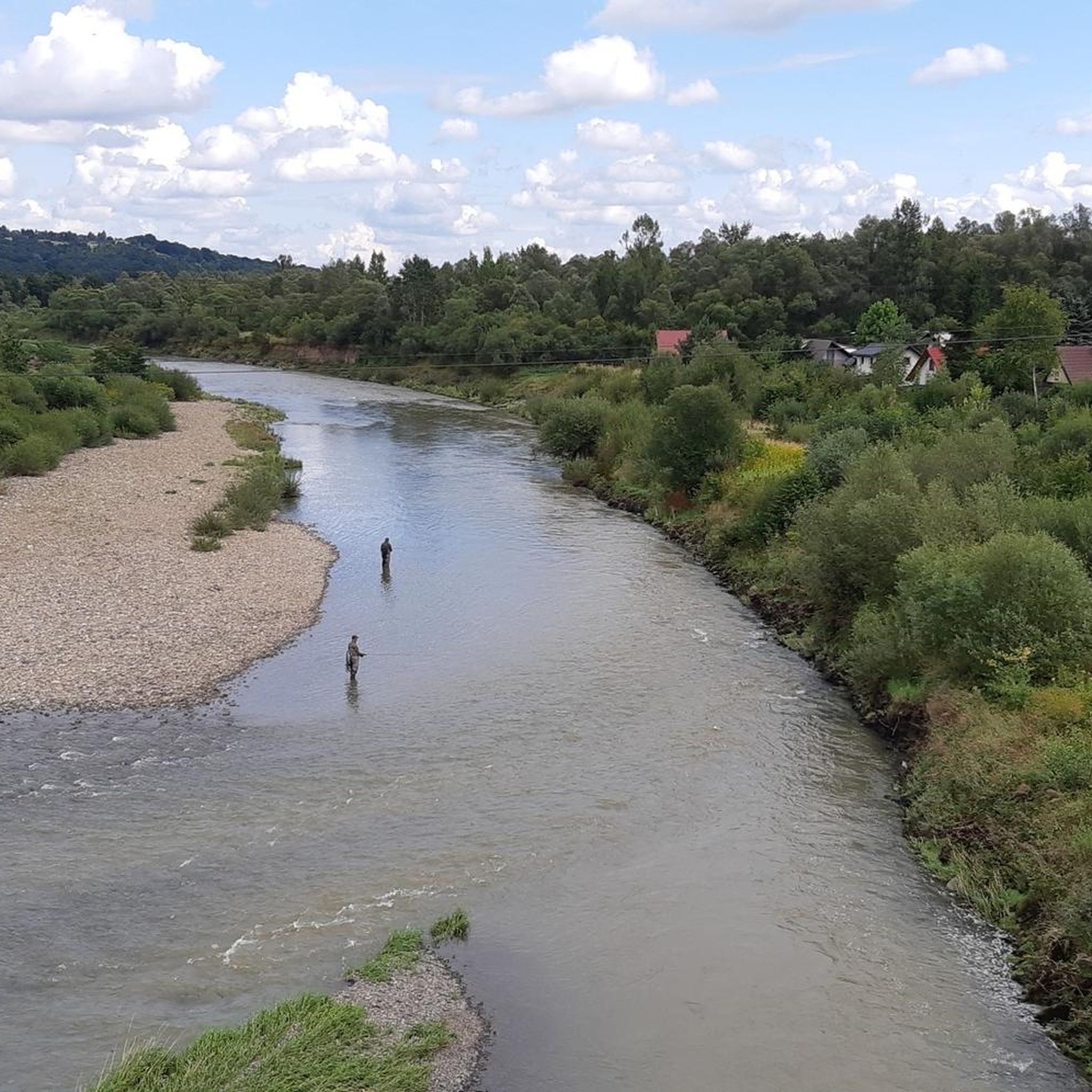

Tips from the Community

Near the summit there isn't much to see, but it's worth going a bit further along the red trail, and there awaits a fabulous view :)
0
0

A nice route through the forest
0
0

Small tripp with beautiful views also with four climbs and one long descent
0
0

A beautiful place, beautiful views and the opportunity to relax
0
0

Shelter for rest, nice view of the glade.
0
0

a peak in the Lubomir and Łysina Range, which, according to Jerzy Kondracki, belongs to the Island Beskids
0
0

This clearing is on Przełęcz Sucha at 710m above sea level. There is a shelter, a place for camping (you can light a fire) and an information board. There is also a monument commemorating the fights of local Home Army partisans during the war. It is easy to get here and it is a good place for a family picnic with children. The Lubomir and Kamiennik Północny peaks are also nearby.
1
0
An amazing and unexpected viewpoint from above of the entire area. From Kamiennik Północny just to the east of here you can barely see anything through the trees, so it's worth going here on your way - no disappointment guaranteed!
0
0
Frequently Asked Questions
What kind of terrain can I expect on mountaineering routes around gmina Dobczyce?
The terrain in gmina Dobczyce is quite varied, transitioning from the rolling green hills of the Wielickie Foothills to the more challenging 'island' peaks of the Beskid Wyspowy mountain range. You'll encounter significant elevation gains, especially in the Beskid Wyspowy, with peaks like Lubomir reaching over 900 meters. Many routes also offer picturesque views of Lake Dobczyce and its surroundings.
Are there any easy mountaineering routes for beginners in gmina Dobczyce?
While the region offers diverse hiking opportunities, the mountaineering routes listed in this guide are generally considered moderate in difficulty. This means they require a reasonable level of fitness and some experience with mountain trails. For easier walks, you might explore paths around Lake Dobczyce or the Dobczyce Castle.
What are the typical durations for mountaineering trails in this area?
The duration of mountaineering trails around gmina Dobczyce varies. For instance, the Lubomir loop from Węglówka can be completed in about 2 hours, while the Viewpoint – Observation tower on Mount Chełm loop from Myślenice is a longer route, typically taking around 4.5 hours.
What interesting landmarks or natural features can I see along the mountaineering routes?
Many routes offer stunning views of Lake Dobczyce and the surrounding Beskid mountains. You can also find historical sites like the Dobczyce Castle, which overlooks the lake. Specific highlights include the Dobczyce Dam, various viewpoints offering panoramas of the lake and mountains, and the Lubomir Astronomical Observatory near the peak of Lubomir.
Are there any circular mountaineering routes available?
Yes, several mountaineering routes in gmina Dobczyce are designed as loops, allowing you to start and end at the same point. Examples include the Lubomir loop from Węglówka and the Kamiennik Północny – Kudłacze PTTK Mountain Hut loop from Poręba.
What is the best time of year for mountaineering in gmina Dobczyce?
The region is generally suitable for hiking from spring through autumn. Spring brings blooming nature, while autumn offers vibrant foliage and clear views. Summer is also popular, though some trails can be busy. Winter mountaineering is possible but requires appropriate gear and experience due to snow and potentially icy conditions, especially on higher peaks in Beskid Wyspowy.
Are the mountaineering routes in gmina Dobczyce suitable for families with children?
While the mountaineering routes listed are moderate and involve significant elevation, some shorter or less strenuous sections might be suitable for older, active children. For younger families, easier walking paths around Lake Dobczyce or the Dobczyce Castle area might be more appropriate. Always check the specific route details for distance and elevation before heading out with children.
Can I bring my dog on the mountaineering trails?
Generally, dogs are welcome on most public hiking trails in Poland, provided they are kept on a leash and owners clean up after them. However, it's always advisable to check local regulations for specific areas or nature reserves you plan to visit, as rules can vary.
Are there mountain huts or cafes along the mountaineering routes?
Yes, some routes lead to or pass by mountain huts. For example, the Kamiennik Północny – Kudłacze PTTK Mountain Hut loop from Poręba and the Kudłacze PTTK Mountain Hut – PTTK Shelter on Kudłacze loop from Poręba both involve the Kudłacze PTTK Mountain Hut, which typically offers refreshments and accommodation.
How accessible are the trailheads by public transport or car?
Gmina Dobczyce is located approximately 22 km south-east of Kraków, making it accessible by car. Many trailheads, especially those starting from towns like Myślenice or Poręba, often have designated parking areas. Public transport options, such as local buses, connect some villages and towns, but direct access to all remote trailheads might be limited. Planning your journey in advance is recommended.
What do other mountaineers say about the routes in gmina Dobczyce?
The mountaineering routes in gmina Dobczyce are highly regarded by the komoot community, with an impressive average rating of 4.9 stars from over 20 reviews. Mountaineers often praise the diverse landscapes, the rewarding views from the 'island' peaks, and the well-maintained trails that offer a good challenge.
Most popular routes around gmina Dobczyce
Most popular attractions around gmina Dobczyce

Get inspired with the komoot mobile app


Explore more
Browse the best Mountain Hikes & Routes in other regions.
