The best running trails around Castello-Di-Rostino
129
runners
7
runs
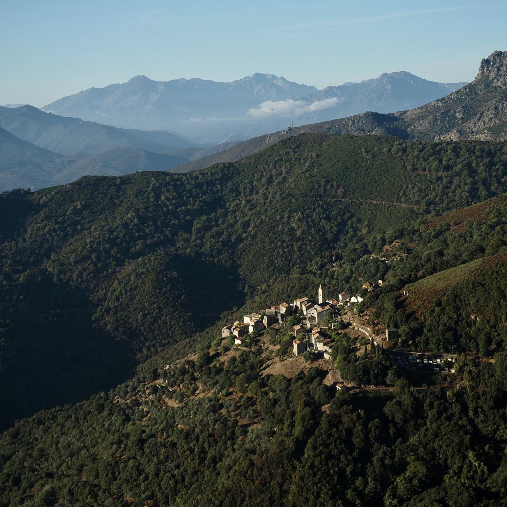
Jogging routes around Castello-Di-Rostino traverse a diverse landscape characterized by mountainous terrain and varied elevations, ranging from 134 to 1200 meters. The region features a schistous ridge and the San Petrone massif, offering challenging ascents and scenic backdrops. Runners can explore routes through river valleys, such as the Golo valley, and shaded centuries-old chestnut forests.
Best jogging routes around Castello-Di-Rostino
- The most popular jogging route is Mount Sant'Angelo Summit loop from Monte, a 8.4 miles (13.5 km) trail that…
Last updated: June 29, 2026
71
runners
11.3km
01:40
530m
530m
Hard run. Very good fitness required. Sure-footedness, sturdy shoes and alpine experience required.
34
runners
13.5km
01:50
610m
610m
Hard run. Very good fitness required. Mostly paved surfaces. Suitable for all skill levels.

Sign up for free
13
runners
7.05km
01:17
550m
550m
Hard run. Very good fitness required. Mostly paved surfaces. Suitable for all skill levels.
7
runners
5.51km
00:56
370m
370m
Hard run. Very good fitness required. Mostly paved surfaces. Suitable for all skill levels.
4
runners
10.8km
01:24
310m
310m
Hard run. Very good fitness required. Mostly paved surfaces. Suitable for all skill levels.
Get access to more routes and recommendations from other explorers.
Sign up for free
Already have an account?
Our route recommendations are based on thousands of hikes, rides, and runs completed by other people on komoot.
Start today with a free account
Your next adventure awaits.
Login or Signup

Tips from the Community

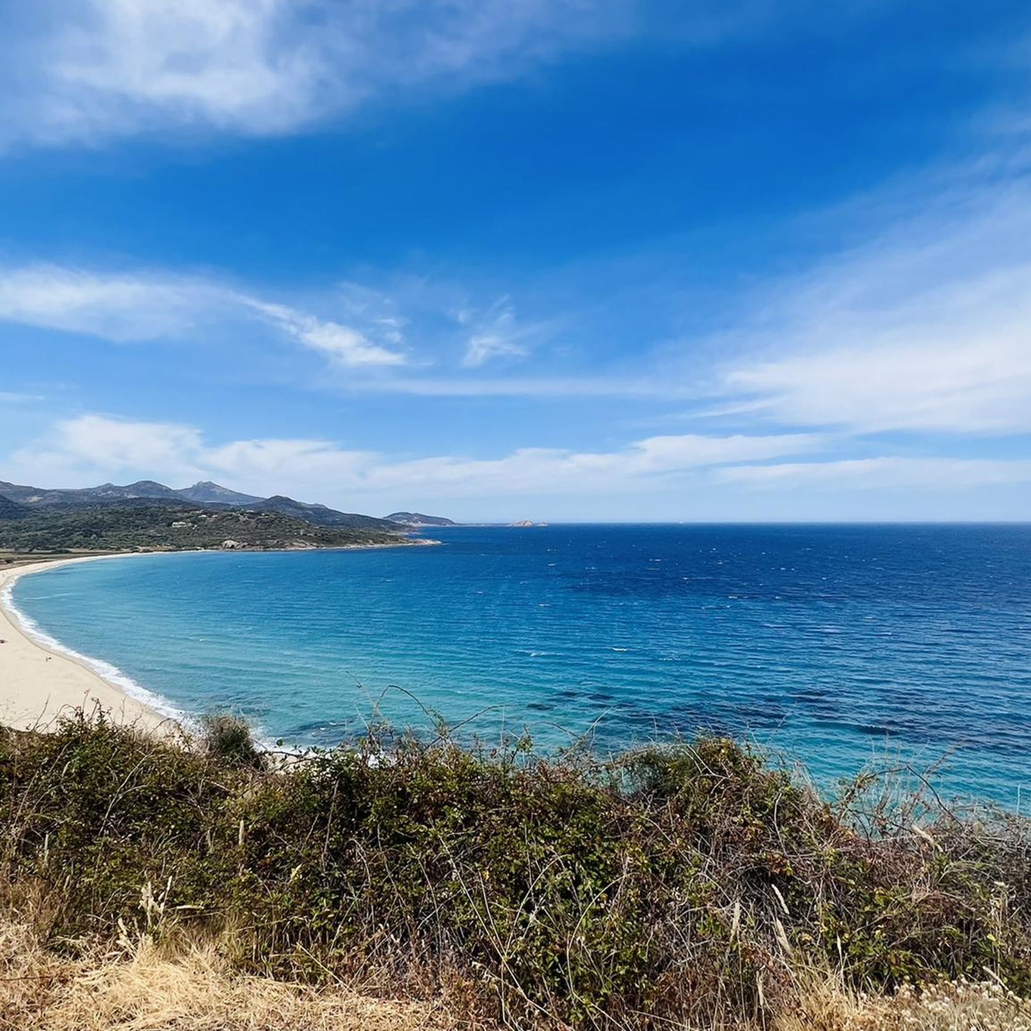
This peak is a relatively easy climb for a great reward. The sea views really give a sense of elevation.
3
0

From here take another run-up and you're already up!
1
1

again fog at the top, but a great climb
3
0
Frequently Asked Questions
What kind of terrain can I expect on running routes around Castello-Di-Rostino?
The running routes around Castello-Di-Rostino are characterized by diverse and often challenging mountainous terrain. You'll encounter significant elevation changes, with altitudes ranging from 134 to 1200 meters. The region features a schistous ridge, the San Petrone massif, and routes through river valleys like the Golo, as well as shaded centuries-old chestnut forests.
Are there any easy running routes for beginners in Castello-Di-Rostino?
The running routes currently highlighted in this guide for Castello-Di-Rostino are generally considered difficult due to significant elevation gains and mountainous terrain. For example, routes like Mount Sant'Angelo Summit loop from Monte involve over 600 meters of ascent. While rewarding, they are best suited for experienced runners or those seeking a challenging workout.
What are some natural features or landmarks I might see while jogging in the area?
While jogging around Castello-Di-Rostino, you can experience stunning natural beauty. Routes often pass through the picturesque Golo river valley and ancient chestnut forests. You might also encounter impressive summits like Mount San Petrone or Mount Sant'Angelo Summit, offering panoramic views. For a unique sight, the Struccia Waterfall is also a notable natural attraction nearby.
Are there any historical sites or points of interest near the running trails?
Yes, the region around Castello-Di-Rostino has historical significance. While jogging, you might be near sites such as the Orezza Monastery Ruins. Additionally, the medieval castle of Castellu di u Pinzu, though in ruins, offers magnificent views over the Golo valley and surrounding mountains, providing a glimpse into the region's past.
What is the best time of year to go running in Castello-Di-Rostino?
The best time for running in Castello-Di-Rostino, given its mountainous terrain and Mediterranean climate, is typically during the spring (April to June) and autumn (September to October). During these seasons, temperatures are milder, and the natural scenery is vibrant. Summer can be quite hot, especially at lower altitudes, while winter may bring colder temperatures and potential snow at higher elevations.
Are there any circular running routes available?
Yes, many of the running routes in Castello-Di-Rostino are designed as loops, allowing you to start and finish at the same point. Examples include the challenging Mount San Petrone loop from La Porta and the scenic Punta a a Licciola loop from Ponte Leccia, both offering a complete circuit through varied landscapes.
What do other runners enjoy most about the trails in Castello-Di-Rostino?
Runners who have explored Castello-Di-Rostino often praise the region's dramatic mountainous scenery and the challenge presented by the significant elevation changes. The opportunity to run through ancient chestnut forests and along river valleys, combined with the rewarding summit views, makes for a memorable experience. Over 140 runners have used komoot to discover these trails.
Are the running routes in Castello-Di-Rostino suitable for families?
Given that the majority of routes in this guide are rated as 'difficult' with substantial elevation gain, they may not be ideal for all families, especially those with young children or less experienced runners. However, families accustomed to challenging hikes and runs in mountainous environments might find them rewarding. Always check the specific route details for distance and elevation before heading out.
Is there parking available at the trailheads for these running routes?
While specific parking information for each trailhead isn't detailed in this guide, it's common for routes starting from villages or accessible points in Corsica to have some form of parking nearby. We recommend checking the individual komoot route pages for specific starting points like Monte, La Porta, or Ponte Leccia, and researching local parking options in those areas before your run.
What should I bring for a run in Castello-Di-Rostino?
For running in Castello-Di-Rostino's mountainous terrain, it's advisable to bring appropriate trail running shoes with good grip, sufficient water, snacks, and layers of clothing suitable for changing weather conditions. A map or GPS device (like the komoot app) is highly recommended for navigation, as well as sun protection and a basic first-aid kit. Given the challenging nature of the routes, consider carrying a fully charged phone for emergencies.
Are there any long-distance running options in the Castello-Di-Rostino area?
Yes, the region offers several routes that provide a good long-distance challenge. For instance, the Mount Sant'Angelo Summit loop from Monte covers 13.5 km with over 600 meters of ascent, and the Mount San Petrone loop from La Porta is 12.9 km with over 700 meters of climbing. These routes are excellent for runners looking for sustained effort and significant mileage.
Can I reach the running trails using public transport?
Public transport options in rural Corsica, including around Castello-Di-Rostino, can be limited. While some villages like Ponte Leccia (a starting point for the Punta a a Licciola loop) might have bus or train connections, direct access to all trailheads via public transport is not guaranteed. It's often recommended to have personal transportation for flexibility when exploring these routes.
Most popular attractions around Castello-Di-Rostino

Get inspired with the komoot mobile app


Explore more
Browse the best Running Trails & Routes in other regions.
