The best walks and hikes around Saint-Arroumex
3.8
(15)
173
hikers
3
hikes
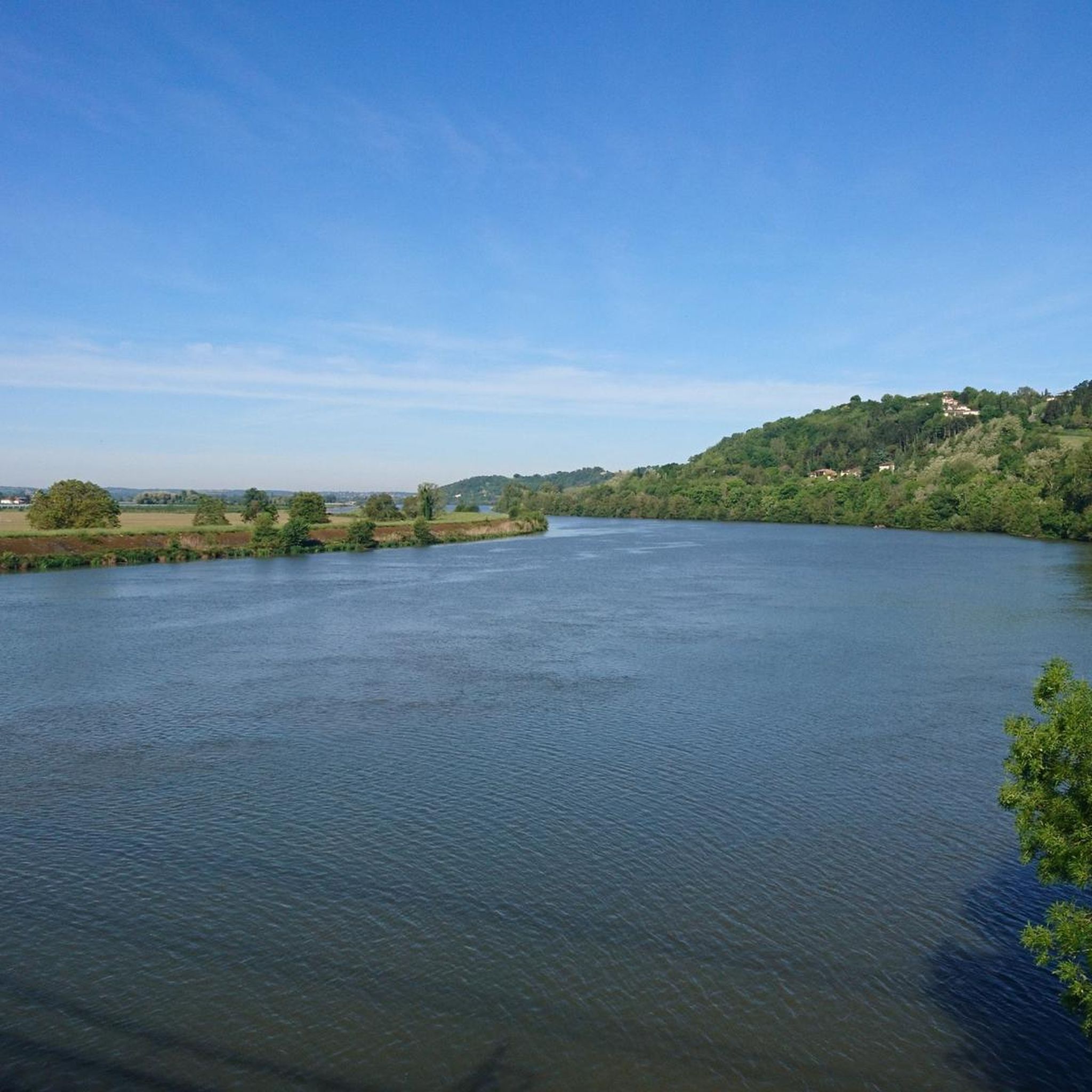
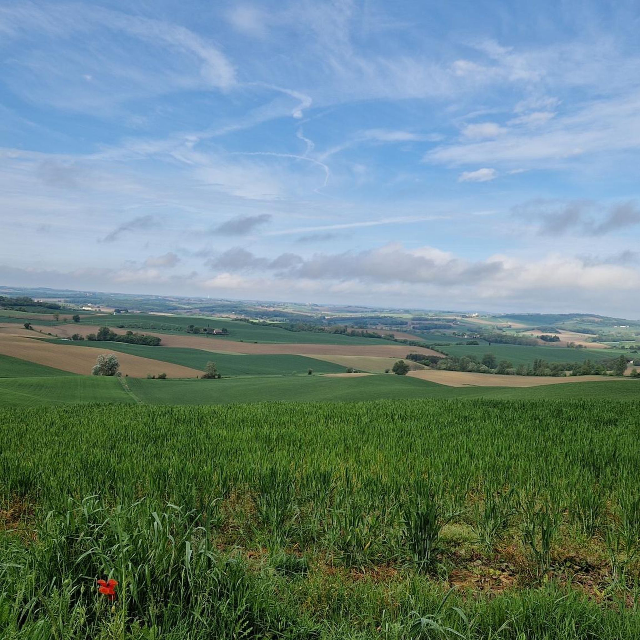
Hiking around Saint-Arroumex offers access to a preserved natural environment within the Tarn-et-Garonne department of France. The region features rolling hills, expansive orchards, and forests, providing diverse landscapes for outdoor exploration. Hikers can experience paths along the Garonne River and the Canal de Garonne, as well as trails through agricultural lands. This area is characterized by its tranquil countryside and varied terrain suitable for different hiking abilities.
Best hiking trails around Saint-Arroumex
- The most popular hiking route is Moissac –…
Last updated: June 29, 2026
4.5
(13)
113
hikers
29.2km
07:24
70m
70m
Hard hike. Very good fitness required. Easily-accessible paths. Suitable for all skill levels.
4.0
(1)
7
hikers
4.76km
01:15
40m
40m
Easy hike. Great for any fitness level. Easily-accessible paths. Suitable for all skill levels.

Sign up for free
12
hikers
18.2km
05:05
370m
370m
Hard hike. Very good fitness required. Easily-accessible paths. Suitable for all skill levels.
10
hikers
Hard hike. Very good fitness required. Easily-accessible paths. Suitable for all skill levels.
6
hikers
18.1km
05:00
310m
310m
Moderate hike. Good fitness required. Easily-accessible paths. Suitable for all skill levels.
Our route recommendations are based on thousands of hikes, rides, and runs completed by other people on komoot.
Start today with a free account
Your next adventure awaits.
Login or Signup

Tips from the Community

On the entrance gates of Lamotte Castle, look for the coat of arms of the Esparbès family. Interestingly, these same motifs can also be found on the radiator caps of American Cadillac cars. This coat of arms was, in fact, borrowed from Antoine Laumet, a native of Saint-Nicolas-de-la-Grave and founder of the city of Detroit in 1701, who usurped his title of nobility by calling himself Antoine de la Motte de Cadillac. Two and a half centuries later, the American company based in Detroit used the coat of arms of its city's founder, along with part of his name.
0
0

Are you a fan of bridges? No? It doesn't matter, go see it anyway, it's very beautiful.
0
0

The Abbey of Moissac is a UNESCO World Heritage Site, great frescoes in the entrance portal and a unique cloister with many biblical scenes and saints' stories in the capitals
0
0
Great medieval frescoes and a unique cloister
0
0

Beautiful canal bridge overlooking the River Tarn
2
0
Beautiful abbey. There is also a hostel for pilgrims attached, where you can also find the stamp to put on your credentials.
4
0

Frequently Asked Questions
How many hiking trails are available around Saint-Arroumex?
While Saint-Arroumex itself offers a selection of local circuits, the broader Tarn-et-Garonne department boasts an extensive network of nearly 2000 km of walks and hikes. This ensures a diverse range of options for all types of outdoor enthusiasts.
What are the typical difficulty levels for hiking trails in Saint-Arroumex?
The hiking trails around Saint-Arroumex offer a mix of difficulties. You can find easy paths, such as the Beautiful avenue – Domaine de Thune Vineyard loop from Bardigues, which is suitable for a leisurely stroll. There are also more challenging routes like the Moissac – Moissac Canal loop from Castelsarrasin, which covers a longer distance and is rated as difficult.
Are there any circular hiking routes in the Saint-Arroumex area?
Yes, many of the trails around Saint-Arroumex are designed as circular routes, allowing you to start and end at the same point. Examples include the Bois de Gayri loop from Montgaillard, which takes you through woodlands and open countryside, and the Cacor Canal Bridge – Cacor Canal Aqueduct in Moissac loop from Castelsarrasin.
What kind of landscapes can I expect to see while hiking near Saint-Arroumex?
Hikers in Saint-Arroumex will experience a preserved natural environment characterized by rolling hills, lush orchards, and vineyards, particularly those growing Chasselas grapes. You'll also find paths along the Garonne River and the Canal de Garonne, offering tranquil waterside views, as well as routes through forests and agricultural lands.
Are there any long-distance hiking options accessible from Saint-Arroumex?
Yes, Saint-Arroumex is situated within the Tarn-et-Garonne department, which is a prime destination for walking enthusiasts. The famous GR 65, also known as the Via Podiensis or the Camino de Santiago, passes through nearby towns like Moissac and Auvillar, offering opportunities to experience a portion of this historic pilgrimage route. For more information on great routes in the region, you can visit Tourisme Tarn-et-Garonne.
What are some notable landmarks or attractions along the hiking trails?
While hiking, you might encounter various points of interest. For example, the region features structures like the Malause footbridge over the canal. The nearby town of Auvillar also boasts historical sites such as the Auvillar Market Hall and Clock Tower. You can also explore charming settlements like the Village of Larrazet.
What do other hikers enjoy most about hiking in Saint-Arroumex?
The hiking routes in Saint-Arroumex are highly rated by the komoot community, with an average score of 3.8 stars from over 17 reviews. Hikers often praise the tranquil countryside, the varied terrain, and the opportunity to explore orchards, forests, and paths along the Garonne Canal.
Is Saint-Arroumex a good destination for family-friendly hikes?
Yes, the region offers trails suitable for families. The diverse network includes easier paths, such as vineyard walks, which are generally less strenuous and can be enjoyed by children. The flat towpaths along the Garonne Canal also provide a gentle option for family outings.
What is the best season to hike in Saint-Arroumex?
The region is appealing for hiking across multiple seasons. Spring and autumn offer pleasant temperatures and beautiful scenery with blooming orchards or vibrant fall colors. Summer can be warm, but paths along the Garonne Canal provide cooler, shaded options. Even winter can be suitable for hiking, offering a different, serene perspective of the landscape.
Are there opportunities for more challenging hikes near Saint-Arroumex?
While Saint-Arroumex itself offers varied terrain, for those seeking more rugged experiences, the nearby Aveyron Gorges provide a more challenging hiking environment with steep cliffs and medieval villages. This area is known for more demanding treks and outdoor sports beyond hiking.
Are there any specific trails that offer good viewpoints?
Many trails in the region traverse rolling hills and open countryside, providing picturesque views of the expansive orchards, vineyards, and the Garonne River valley. While specific named viewpoints are not highlighted, the natural topography ensures scenic vistas throughout your hike.
Is public transport available to reach hiking trailheads around Saint-Arroumex?
Public transport options directly to specific trailheads in Saint-Arroumex can be limited, as is common in rural French areas. It is generally recommended to travel by car to access the starting points of many hikes. However, larger towns in the Tarn-et-Garonne department, such as Moissac, are better connected by public transport.
Where can I find parking when hiking in Saint-Arroumex?
Parking is typically available near the starting points of many trails, especially in or near villages and towns. For example, if you're starting a route from Castelsarrasin or Montgaillard, you can usually find local parking options. It's advisable to check specific route details for recommended parking locations.
Most popular attractions around Saint-Arroumex

Get inspired with the komoot mobile app


Explore more
Browse the best Hikes in other regions.
