The best mountain hikes around Montagut I Oix
8
hikers
2
hikes
Mountaineering routes around Montagut i Oix traverse a diverse and rugged natural landscape in the Garrotxa region of Catalonia. The northern part of the municipality features craggy, mountainous terrain with limestone formations and narrow passes carved by mountain streams. This area includes notable peaks such as Comanegra (1,557 m) and Puig de Bassegoda (1,373 m), offering challenging ascents. A significant portion lies within the Alta Garrotxa Protected Natural Area, characterized by wild beauty, dense forests, and rich biodiversity.
Best mountaineering…
Last updated: June 29, 2026
3
hikers
15.2km
05:03
710m
710m
Hard mountaineering route. Very good fitness required. Easily-accessible paths. Suitable for all skill levels.
3
hikers
8.57km
02:49
390m
390m
Moderate mountaineering route. Good fitness required. Easily-accessible paths. Suitable for all skill levels.

Sign up for free
2
hikers
16.1km
05:23
780m
780m
Hard mountaineering route. Very good fitness required. Easily-accessible paths. Suitable for all skill levels.
Our route recommendations are based on thousands of hikes, rides, and runs completed by other people on komoot.
Start today with a free account
Your next adventure awaits.
Login or Signup
Popular around Montagut I Oix
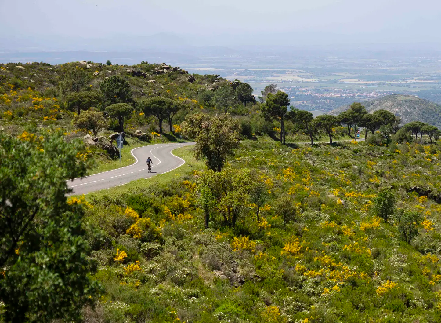
Ports and Roads — Catalonia on Wheels

Catalonia and Andorra on the Pyrenean Trail – GR 11
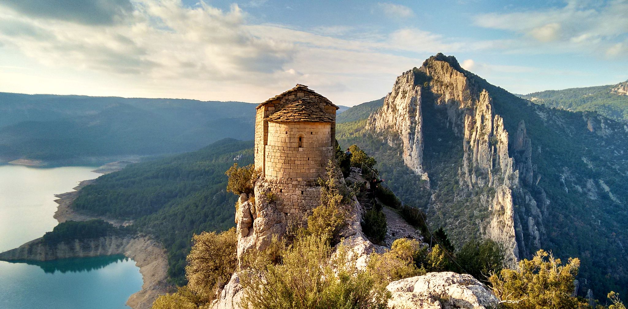
From the Mediterranean to the Pre-Pyrenees – Historical Path in Catalonia (GR 1)
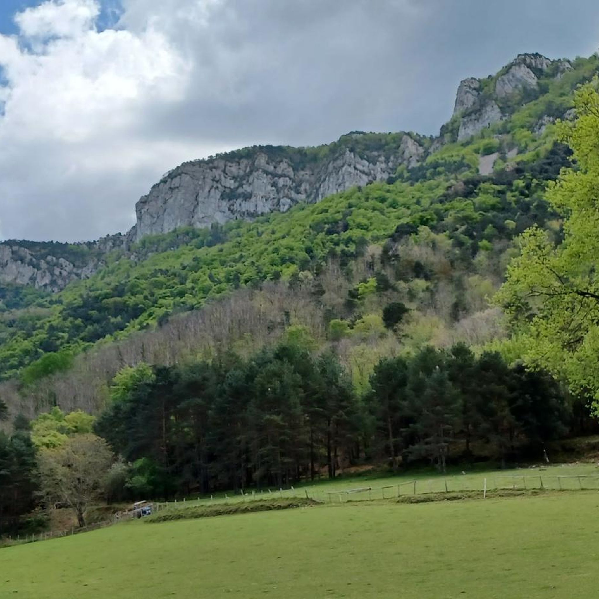
Hiking around Montagut I Oix
Road Cycling Routes around Montagut I Oix
Running Trails around Montagut I Oix
Cycling around Montagut I Oix
MTB Trails around Montagut I Oix

Gravel biking around Montagut I Oix
Other adventures around Montagut I Oix


Tips from the Community

Camprodon is a small town in the province of Girona with a long history behind it: it was taken and burned in several wars over the centuries. Today, it is a quiet place located in the valley where the Ter and Ritort rivers meet.
1
0


Camprodon is a charming little Catalan town located near the French border. There you will find the birthplace of the composer Isaac Albeniz (Spanish composer from the end of the 19th century), shops and a new old bridge.
2
0

If you cross it you will have access to the old town and from its highest part you will be able to see the confluence of the Ter river with the Ritort.
1
0
It rises above the river Ter with a large arch and another small one that gives way to Carrer de Sant Roc. The construction dates back to the end of the 12th century, according to the Gothic design. It was declared a Historical and Artistic Monument in 1976. The silhouette of this bridge, located in the town centre, is one of the most characteristic prints of Camprodon. It rises above the river Ter with a large arch and another small one that gives way to Carrer de Sant Roc, through which you enter what is called Vila de Baix, formed in medieval times and surrounded by walls. In fact, the bridge, with a double slope, was a must-pass for all those going to Cerdanya, and that is why access to the walls was through the so-called Porta de Cerdanya. The construction, according to the documentation found, dates back to the end of the 12th century, following a Gothic design, although this statement is contradicted by the dates carved on the doors on both sides of the bridge, which refer to the 16th centuries and XVII. However, the upper portal, due to its characteristics, must be posterior. The name probably refers to the existence of another previous bridge. It was declared a Historical and Artistic Monument in 1976. https://www.youtube.com/watch?v=zYIP5zSMpwU
1
0

The Pont Nou, also known as the "Roman bridge" or "Romanesque bridge" was built in the 12th century, but has undergone numerous reconstructions. It was badly damaged in the 1428 earthquake and during the Catalan civil war, between 1462 and 1472, it was completely destroyed, so the current bridge is the result of later modifications. It consists of a large central arch and five arches of various sizes, all semicircular. In the 14th century, a tower-shaped door was added that allowed access to the walled nucleus of Camprodón, also known as Puerta de la Cerdanya, since by crossing the Ter river, the bridge was an obligatory step to access the region of same name.
0
0

Monastery from the year 1702 located at the top of the Col de la Brossa near Camprodon. From there you have a panoramic view of the surrounding villages and mountains.
0
0
Bridge erected over the river Ter dating from the twelfth century in a Gothic style. It is formed by a large arch and a small one attached to a watchtower. It was declared a Historic-Artistic Monument in 1976. This bridge is the most recognized picture of the municipality of Camprodón.
0
0
Frequently Asked Questions
What kind of terrain can I expect on mountaineering routes in Montagut i Oix?
Montagut i Oix offers a diverse and rugged landscape. The northern part features craggy, mountainous terrain with striking limestone formations and narrow passes carved by mountain streams. You'll encounter significant peaks, dense forests, and areas within the Alta Garrotxa Protected Natural Area, known for its wild beauty and rich biodiversity.
Are there challenging mountaineering routes for experienced climbers in Montagut i Oix?
Yes, the region provides challenging options. For instance, the Coll de les Falgueres loop from Lamanère is rated as difficult, covering over 16 km with significant elevation gain through dense forests and mountainous terrain. The area's dramatic limestone formations and prominent peaks like Comanegra and Puig de Bassegoda offer demanding ascents.
Can I find circular mountaineering routes in Montagut i Oix?
Absolutely. Many routes in the region are designed as loops, allowing you to start and finish at the same point. Examples include the moderate Puig de Bestracà loop from Oix and the Pont Nou of Camprodon – Hermitage of Sant Antoni loop from Camprodon, both offering varied scenery.
What natural features or landmarks can I see along the mountaineering routes?
Montagut i Oix is rich in natural beauty. You can explore impressive narrow gorges like those at Castell Sespasa and Pas dels Lliberals, or discover stunning waterfalls such as the Sant Aniol Waterfall and the Gorg Blau. The region is also home to notable peaks like Puig de Bassegoda and the Mare de Déu del Mont Summit, offering panoramic views. Additionally, you might pass by historical sites like the Hermitage of Sant Antoni.
Are there any wild swimming spots near the mountaineering trails?
Yes, the region's mountain streams and gorges have created beautiful natural pools, such as the Gorg Blau, which features a magnificent waterfall. These spots can offer refreshing breaks during your mountaineering excursions, especially in warmer months.
What is the best season for mountaineering in Montagut i Oix?
The diverse landscape of Montagut i Oix makes it suitable for mountaineering across multiple seasons. Spring and autumn generally offer pleasant temperatures and vibrant scenery. While the region is rugged, some areas might be accessible in winter, but always check local conditions and be prepared for colder weather and potential snow at higher elevations.
Are there options for sports climbing or ravine descent in the area?
Yes, the area around Sadernes, which is just 5 km from Montagut i Oix, is specifically known for sports climbing and ravine descent. This provides additional vertical outdoor activities for those looking for more specialized adventures beyond traditional mountaineering.
How long do mountaineering routes typically take in Montagut i Oix?
The duration of routes varies depending on their length and difficulty. For example, the moderate Puig de Bestracà loop from Oix typically takes around 5 hours to complete, while the more challenging Coll de les Falgueres loop from Lamanère can take over 5 hours and 20 minutes. Shorter routes, like the Pont Nou of Camprodon – Hermitage of Sant Antoni loop from Camprodon, can be completed in about 3 hours.
What do other mountaineers enjoy most about the routes in Montagut i Oix?
Mountaineers often praise the region for its dramatic limestone formations, significant peaks, and the wild, untamed beauty of the Alta Garrotxa Protected Natural Area. The extensive trail network, which includes parts of the Itinerànnia system, is also appreciated for offering a variety of challenges and rewarding panoramic views.
Are there any less crowded mountaineering routes in Montagut i Oix?
While specific crowd levels can vary, the Alta Garrotxa Protected Natural Area is known for its wild and untamed beauty, suggesting a more remote experience. Exploring routes that venture deeper into this protected zone or those that are slightly longer and more challenging may offer a more solitary mountaineering experience.
What kind of flora and fauna can I observe while mountaineering here?
The Alta Garrotxa Protected Natural Area, which covers a significant portion of Montagut i Oix, is known for its rich biodiversity. You can expect to see ancient oak forests, beech groves, and riparian woodlands. The rugged terrain also supports a variety of specialized plant and animal species adapted to the mountainous environment.
Most popular routes around Montagut I Oix
Most popular attractions around Montagut I Oix

Get inspired with the komoot mobile app


Explore more
Browse the best Mountain Hikes & Routes in other regions.
