The best mountain hikes around Arruazu
44
hikers
5
hikes
Mountaineering routes around Arruazu are set within the diverse natural landscapes of Navarra, Spain. The region is characterized by limestone massifs, extensive beech forests, and dramatic cliffs, particularly within the nearby Aralar Natural Park and Sierra de Urbasa and Andía Natural Park. These areas offer a variety of challenging ascents, including peaks like Monte Beriain, and feature varied terrain with rivers, streams, and unique geological formations.
Best mountaineering routes around Arruazu
- The most popular mountaineering route is Beriain loop from…
Last updated: June 29, 2026
17
hikers
11.8km
05:49
970m
970m
Hard mountaineering route. Very good fitness required. Sure-footedness, sturdy shoes and alpine experience required.
16
hikers
9.87km
04:57
810m
810m
Hard mountaineering route. Good fitness required. Sure-footedness, sturdy shoes and alpine experience required.

Sign up for free
4
hikers
Hard mountaineering route. Very good fitness required. Mostly accessible paths. Sure-footedness required.
5
hikers
21.4km
07:35
880m
880m
Hard mountaineering route. Very good fitness required. Sure-footedness, sturdy shoes and alpine experience required.
2
hikers
17.3km
07:38
1,160m
1,160m
Hard mountaineering route. Very good fitness required. Sure-footedness, sturdy shoes and alpine experience required.
Our route recommendations are based on thousands of hikes, rides, and runs completed by other people on komoot.
Start today with a free account
Your next adventure awaits.
Login or Signup

Tips from the Community

From one of the access parking lots.
1
0
Right next to the famous San Donato hermitage.
1
0

The Lareo reservoir is a small reservoir in a beautiful environment. The sheet of water creates a beautiful visual game with the dense forest that surrounds it.
1
0
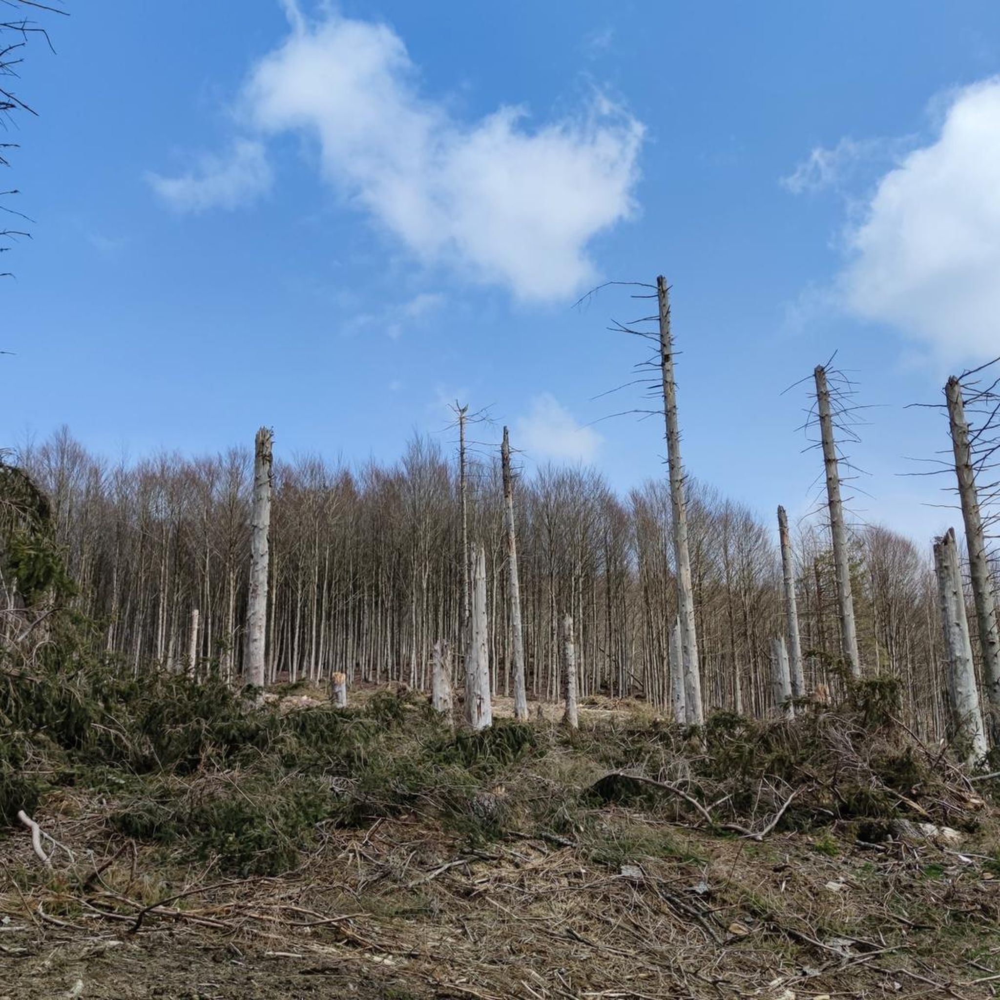
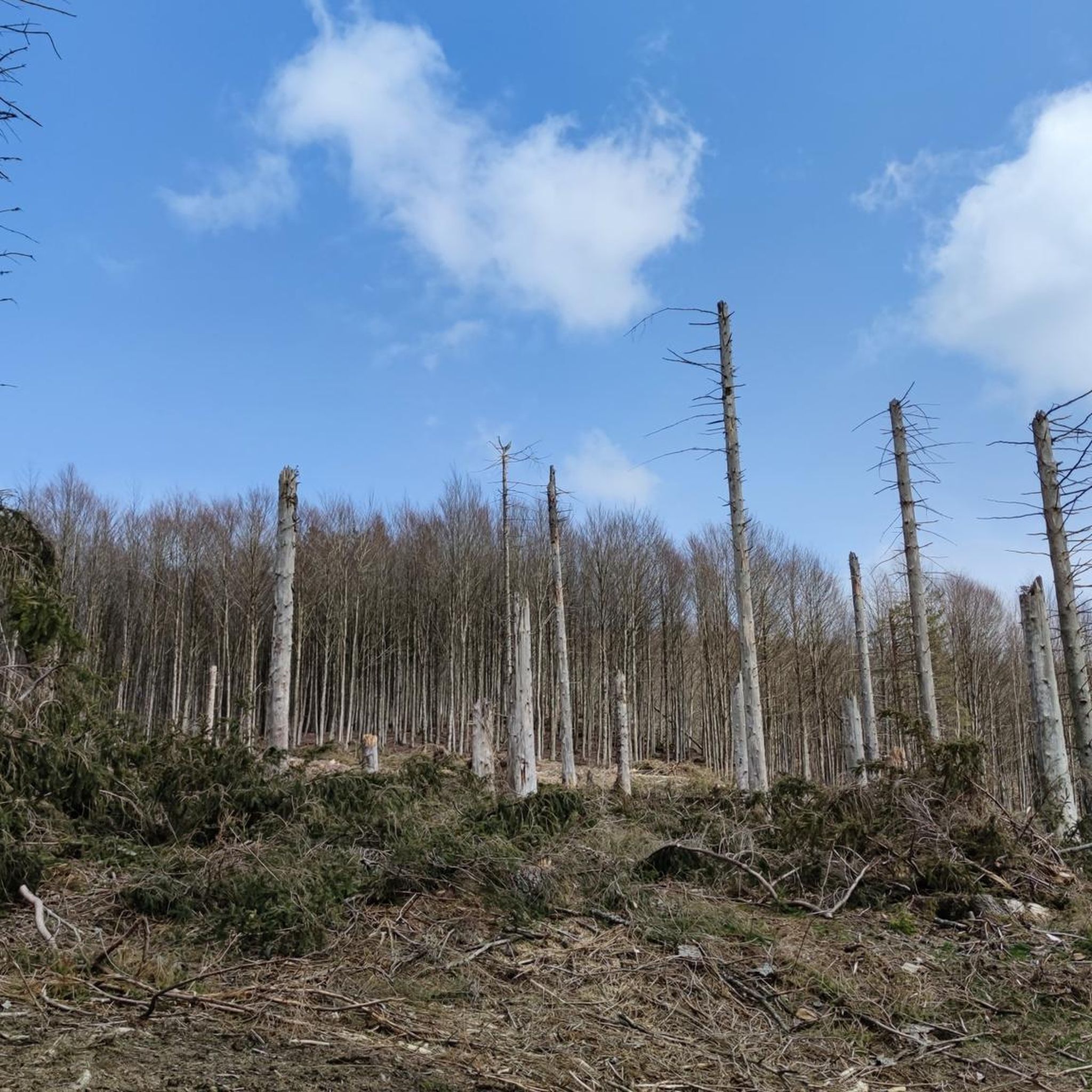
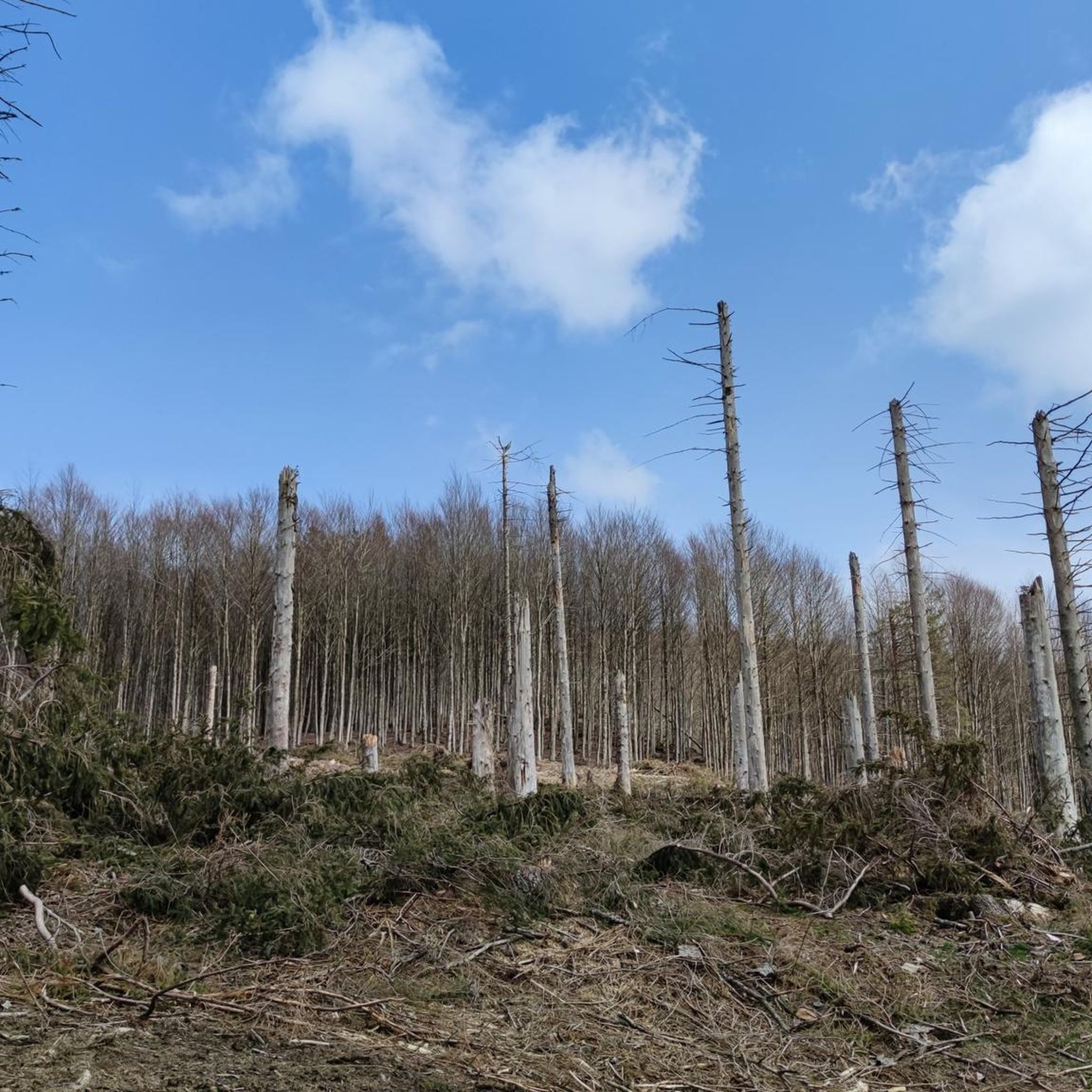
This spectacular path through the beech forest is just a small sample of the incredible beauty of Aralar. The path runs pristine under the forest and, in some sections, looks out like a balcony from the cliffs.
1
0

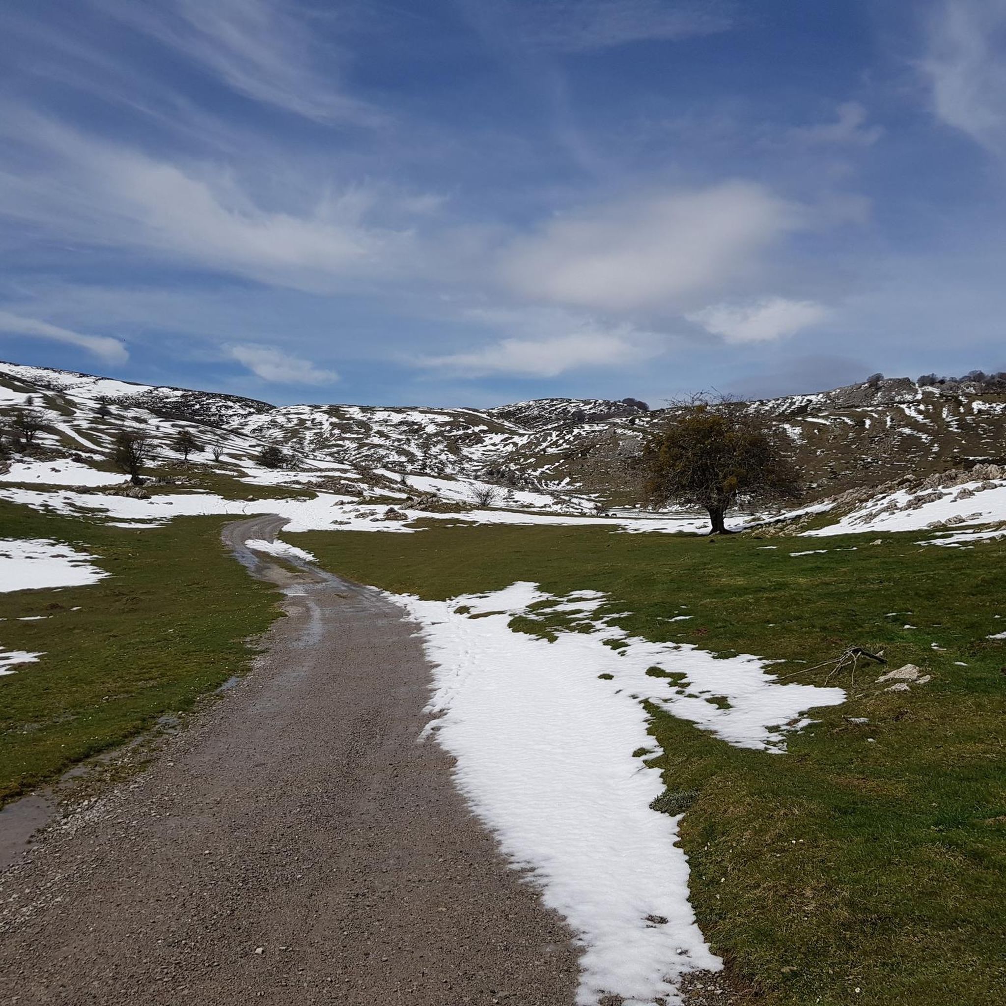
The route connects again with the PR-NA 201 at the milestone where the Vertical Kilometer appears on the right, continuing straight through the panoramic mountain meadow to the popular hermitage of San Donato. Part of the sanctuary is converted into a mountain refuge and is delicious when there is a blizzard or bad weather, as was the case the day we did the route. The geodesic vertex of Beriain is next door, on the rocky tip of a cliff that concentrates the kingdom of abysses and cliffs that float above the towns of the Sakana.
1
0

Artificial lake going up the Sierra de Aralar.
1
0

The Lareo reservoir is located in the Aralar Natural Park, near the border with Navarra. It is a small swamp and is surrounded by beech and larch trees, which take on bright colors in the fall. The tour starts from the Parketxe de Lizarrusti interpretation center.
0
0
The Labeo dolmen is located near Lareoko urtegia, and Malkorburu. Of religious or funerary origin, it belongs to the Neolithic, Chalcolithic-Eneolithic and Bronze periods.
0
0
Frequently Asked Questions
How challenging are the mountaineering routes around Arruazu?
The mountaineering routes featured in this guide are all considered difficult, requiring a good level of fitness and experience. They involve significant elevation gains and rugged terrain, typical of the Aralar Natural Park and Sierra de Urbasa and Andía Natural Park. For example, the Beriain loop from Uharte Arakil ascends nearly 1,000 meters.
Are there any circular mountaineering routes available near Arruazu?
Yes, all the mountaineering routes highlighted in this guide are circular. This allows you to start and finish at the same point, making logistics easier. For instance, the Sierra de San Donato loop from Ergoiena offers a challenging circular journey through scenic landscapes.
What is the typical duration for a mountaineering route in this region?
The duration of mountaineering routes around Arruazu varies depending on the specific trail and your pace. The routes in this guide typically range from approximately 5 hours 48 minutes to over 7 hours. For example, the Lareo Reservoir – Spectacular trail through beech trees loop from Lizarrustiko lepoa is estimated to take around 6 hours 23 minutes.
What kind of natural landscapes and features will I encounter on these routes?
Mountaineering around Arruazu offers diverse natural beauty. You'll traverse limestone massifs, extensive beech forests, and dramatic cliffs. The region is part of the Aralar Natural Park and Sierra de Urbasa and Andía Natural Park, known for their unique geology, rivers, streams, and rich vegetation. You might also encounter karst landscapes and impressive rock formations.
Are there any specific peaks or notable ascents recommended for experienced mountaineers?
For experienced mountaineers, the ascent of Monte Beriain (also known as San Donato) is a significant challenge, offering expansive views. The Beriain loop from Uharte Arakil is a popular route to tackle this peak. Within Aralar Natural Park, iconic peaks like Txindoki (Larrunarri) and Ganboa also present rewarding challenges.
What are some interesting landmarks or attractions near the mountaineering trails?
Near the mountaineering trails, you can explore several natural and historical landmarks. The Portupekoleze Arch is a notable natural monument. You might also encounter religious sites like the San Miguel de Aralar Sanctuary or the San Adrián Hermitage. The Lizarrusti Pass also offers scenic views and serves as a gateway to some routes.
Is the region suitable for winter mountaineering?
Winter mountaineering in the Arruazu region, particularly in areas like Aralar Natural Park, is possible but requires specialized equipment and experience due to snow, ice, and potentially harsh weather conditions. It's crucial to check weather forecasts and avalanche warnings before attempting winter ascents. Conditions are generally best with a cold north wind, but summer months can be very hot.
What kind of wildlife can I expect to see while mountaineering?
The natural parks around Arruazu, including Aralar and Urbasa y Andía, are rich in diverse flora and fauna. While specific sightings are never guaranteed, you might encounter various bird species, including raptors, and mammals typical of mountain environments. The extensive beech forests also support a unique ecosystem.
Are there any specific climbing areas near Arruazu for rock climbing?
Yes, approximately 13 kilometers from Pamplona, and accessible from Arruazu, is the Etxauri climbing area. This classic crag offers around 800 routes of varying grades and styles on excellent quality limestone, from easy Grade III to extreme 9a's. It's suitable for year-round climbing, though summer can be hot.
Where can I find parking for these mountaineering routes?
Many mountaineering routes in the Arruazu region, especially those starting from villages or natural park entrances, typically have designated parking areas. For routes like the Sierra de San Donato loop from Uharte Arakil, you would generally find parking facilities in or near the starting village of Uharte Arakil or other access points to the Sierra de San Donato.
What is the best time of year to go mountaineering in Arruazu?
The best time for mountaineering in Arruazu generally depends on your preference and the specific route. Spring and autumn offer pleasant temperatures and vibrant landscapes. Summer can be hot, especially at lower elevations, but higher peaks might offer cooler conditions. Winter requires specific gear and experience due to snow and ice.
Are there any facilities like cafes or restaurants near the trailheads?
While the immediate trailheads might be remote, villages like Arruazu, Uharte Arakil, or Lizarrustiko lepoa (depending on your starting point) typically offer basic amenities, including cafes or small restaurants where you can refuel before or after your mountaineering adventure. The Arbizu Eco-Camping might also offer facilities.
Most popular attractions around Arruazu

Get inspired with the komoot mobile app


Explore more
Browse the best Mountain Hikes & Routes in other regions.
