The 7 Most Amazing Peaks around Börtlingen
Mountain peaks around Börtlingen are characterized by rolling hills and elevated points within the Schurwald region. The municipality's elevation ranges between 334 and 498 meters above sea level, offering numerous opportunities for scenic views. This area provides a landscape suitable for outdoor activities and exploring natural features. Several viewpoints offer expansive vistas over the Rems Valley and the Swabian Alb.
Best mountain peaks around Börtlingen
- The most popular mountain peaks is Hohenstaufen Castle Ruins and Viewpoint, a castle and…
Last updated: October 4, 2026
Hohenstaufen Castle Ruins and Viewpoint
Highlight • Castle
Translated by Google •
Tip by

Spielburg Rock Formation and Viewpoint
Highlight • Natural Monument
Translated by Google •
Tip by

Sign up now to discover places like this
Get recommendations on the best single tracks, peaks, & plenty of other exciting outdoor places.
View of Rechberg
Highlight • Viewpoint
Translated by Google •
Tip by

Spielburg
Highlight • Viewpoint
Translated by Google •
Tip by

Hohberg Summit (498 m)
Highlight • Summit
Translated by Google •
Tip by

Sign up for free to discover even more peaks around Börtlingen.
Already have an account?
Start today with a free account
Your next adventure awaits.


Tips from the Community

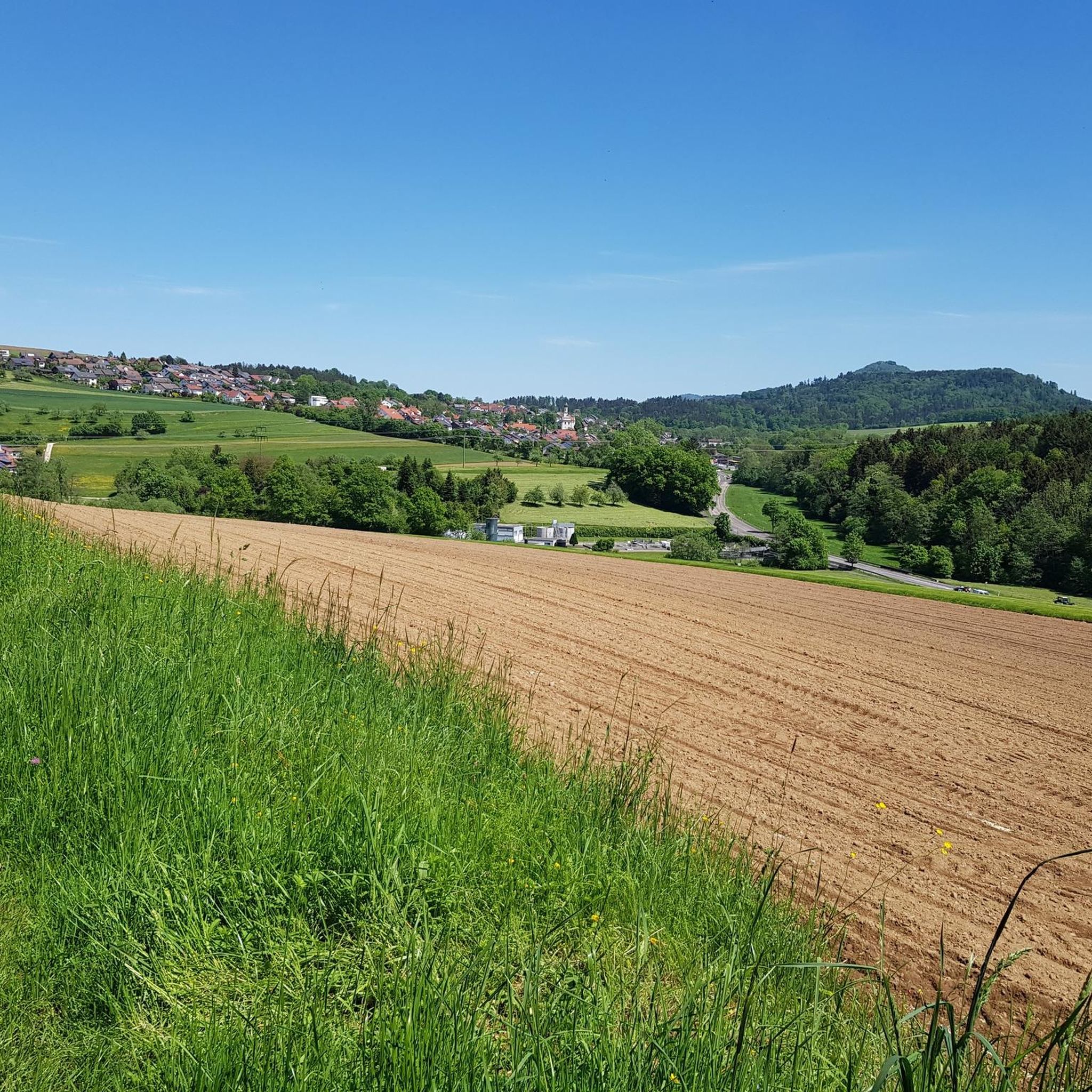
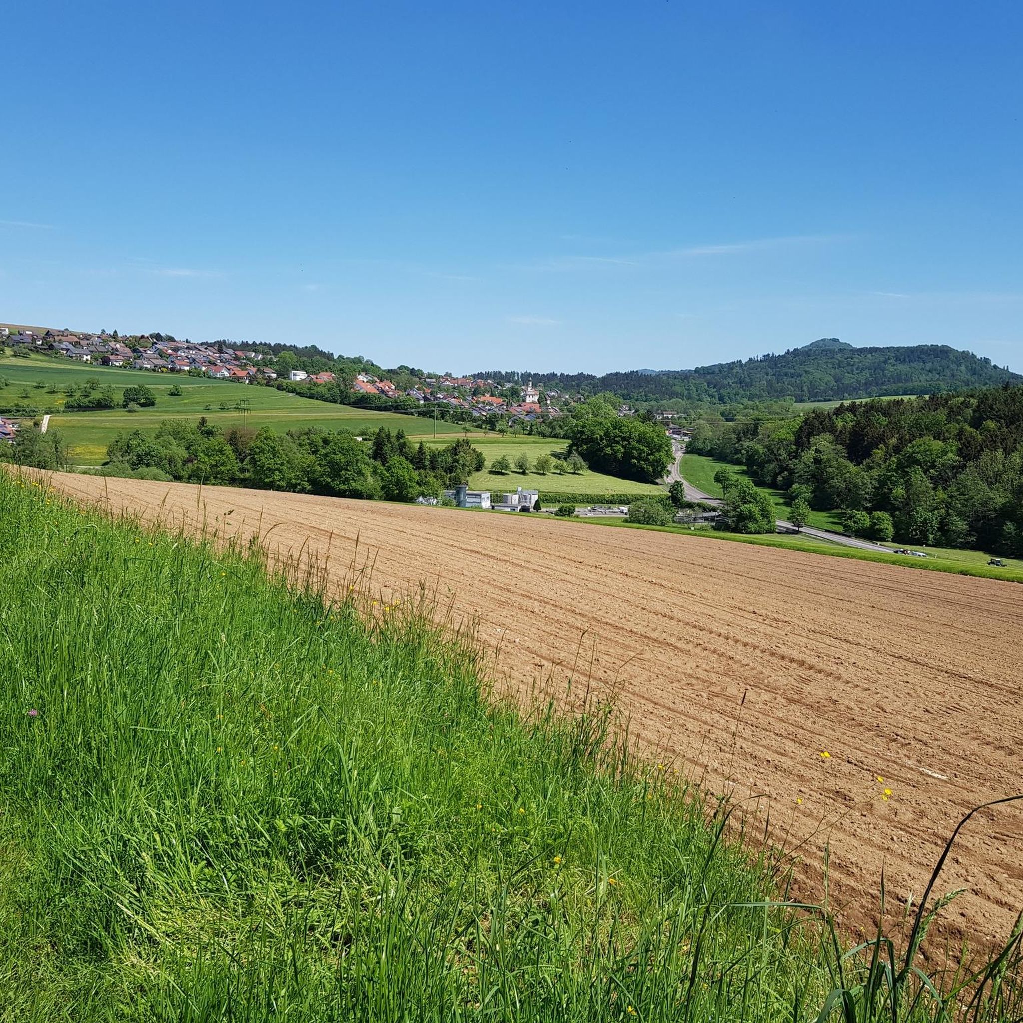
The Hohe Rechberg from the back, otherwise I always see it from the south.
4
0

A great route from the Hölltal in Schwäisch Gmünd up via Metlangen and then the Rechberg to the Schurrenhof with great views.
2
0


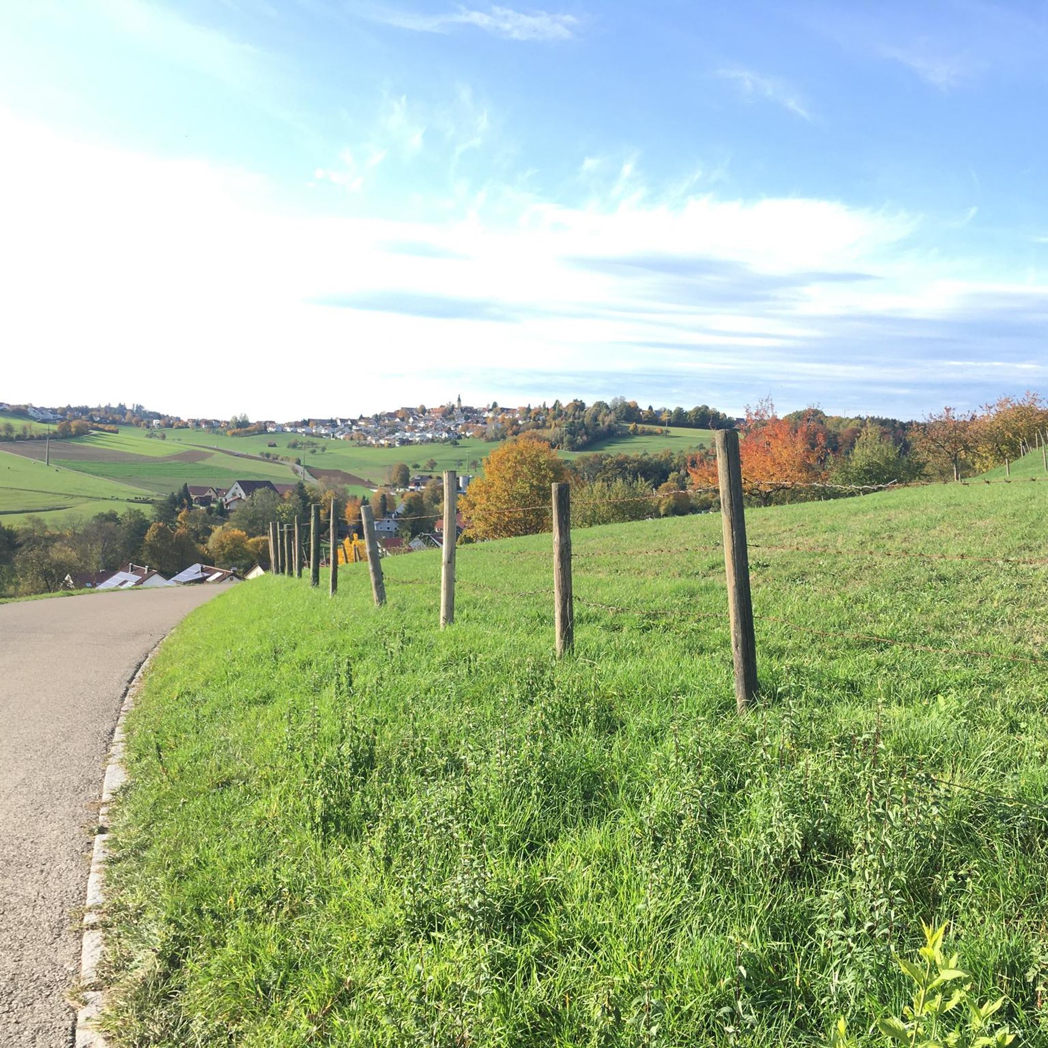
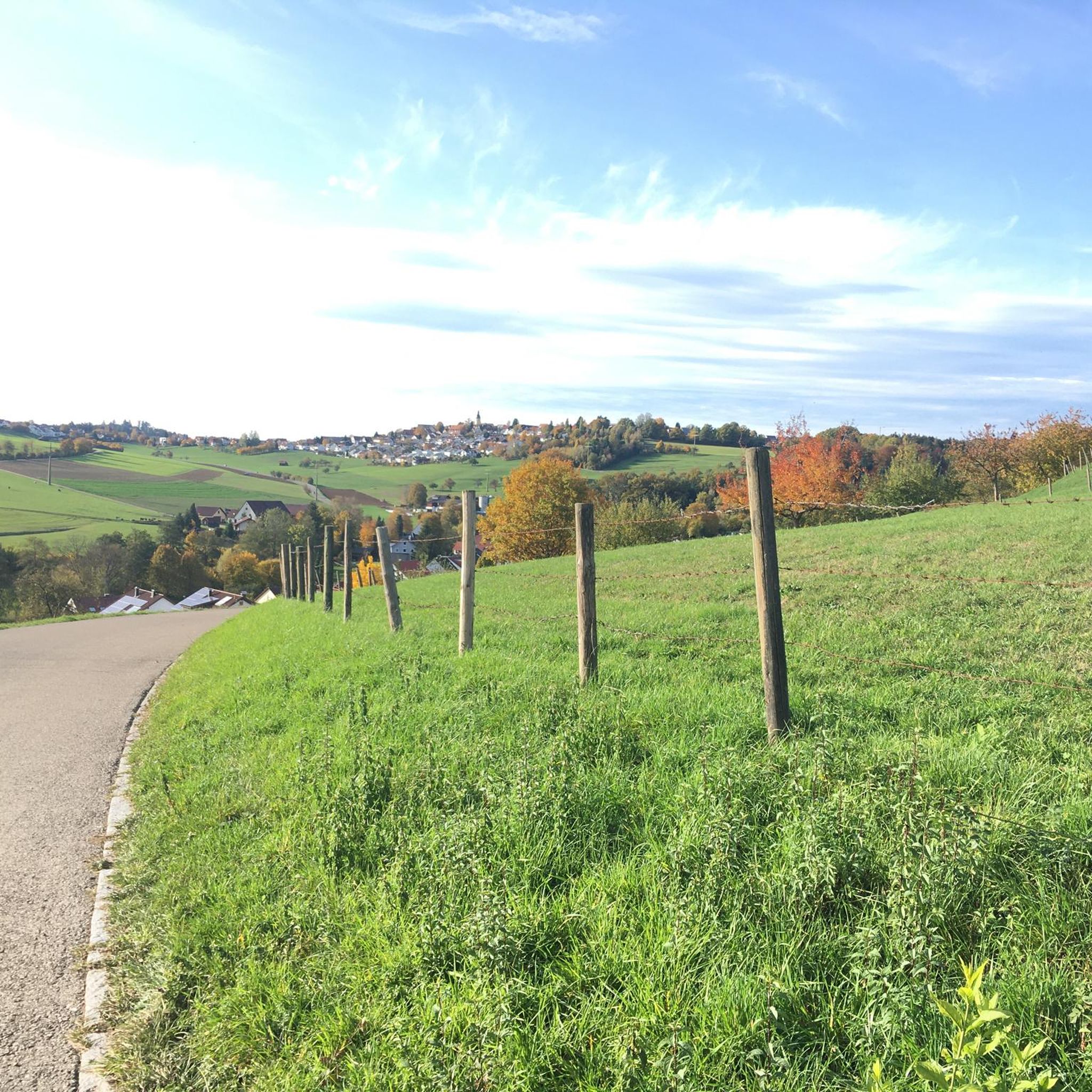
From the Spielburg you have a great view and the way to the summit is not far
0
0


The railway line is great to drive with many such views
4
0

The 498 meter high Hohberg does not offer a view, but at its highest point there is a hut and a summit cross.
1
0

The rugged rocks of the Spielburg Castle below the Hohenstaufen summit invite you to climb and explore – or you can simply sit on one of the benches and enjoy the expansive view. A magical place, especially at dusk or early in the morning!
4
1
Frequently Asked Questions
What are the most popular elevated points and viewpoints around Börtlingen?
The region around Börtlingen offers several popular elevated points and viewpoints. Among them, Hohenstaufen Castle Ruins and Viewpoint is highly regarded for its beautiful all-round views. Another notable spot is the "Himmelreich" Lookout Point, which provides spectacular vistas over the Rems Valley and extends to the Swabian Alb. The Reinhold Maier-tower also offers panoramic views of the surrounding area.
Are there any historical sites among the elevated points near Börtlingen?
Yes, the Hohenstaufen Castle Ruins and Viewpoint is a significant historical site. It was once the headquarters of the Hohenstaufen family and offers a blend of historical interest with panoramic views from its summit.
What kind of views can I expect from the elevated points around Börtlingen?
From various elevated points, you can expect expansive views over the Rems Valley, extending to the Swabian Alb. Several hiking routes also provide impressive views of Hohenstaufen and the "Three Kaiser Mountains" (Hohenstaufen, Rechberg, and Stuifen), which are prominent regional landmarks.
Are there family-friendly hiking options to reach these elevated points?
Yes, the Marbachtal area, located in the eastern part of Börtlingen's municipal area, features easy hiking trails suitable for all fitness levels, such as the "Bridge Over the Marbach – Kastenklingen Pond loop." While some ascents to viewpoints like Hohenstaufen can be steep, there are generally accessible paths for families to enjoy the natural surroundings and views.
What outdoor activities can I do near the elevated points around Börtlingen?
The region is well-suited for hiking enthusiasts, with numerous trails ranging from easy walks to more challenging routes. You can explore the picturesque landscape, enjoy nature, and discover various viewpoints. For more detailed hiking routes, you can check out the Hiking around Börtlingen guide.
Is there a place to eat or drink at any of the elevated points?
Yes, on Hohenstaufen, you can find the Himmel und Erde Café. This cafe is located on the 684 m high Hohenstaufen and offers views over the Filstal and the Swabian Alb, making it a great spot for a break.
What is the Hohberg Summit (498 m) like?
The Hohberg Summit (498 m) features a hut with benches and a table, along with summit books where hikers can sign in. While the summit itself is wooded and doesn't offer expansive views, the hut provides a pleasant resting spot.
Are there challenging trails to reach any of the elevated points?
Yes, for those seeking a more strenuous experience, there is a Steep Ascent to Hohenstaufen Summit. This path requires surefootedness and sturdy shoes, especially in wet weather, but is considered a more scenic route to the top of Hohenstaufen.
What do visitors enjoy most about the elevated points around Börtlingen?
Visitors particularly enjoy the panoramic views, the blend of nature and history, and the well-maintained hiking trails. The opportunity to see landmarks like the Three Kaiser Mountains and the Swabian Alb from various viewpoints is a highlight for many.
Can I find information about the surrounding landscape at the viewpoints?
Yes, at some viewpoints, such as Hohenstaufen Castle Ruins and Viewpoint, there are explanations of the panorama, detailing the places visible in the distance. This helps visitors understand the geography and landmarks of the region.
Are there any specific trails for running near these elevated points?
Yes, the area around Börtlingen also offers running trails. For example, you can find routes like the "Playground with Benches loop from Birenbach" or the "View of the Kaiserberge loop from Birenbach." More running options are available in the Running Trails around Börtlingen guide.
What is the general elevation range of the elevated points in the Börtlingen area?
The municipality of Börtlingen features elevated points with an elevation range typically between 334 and 498 meters above sea level, offering a landscape of rolling hills rather than towering peaks.
Most popular routes around Börtlingen
Most popular attractions around Börtlingen

Get inspired with the komoot mobile app


Explore more
See even more amazing summits around Börtlingen with these guides:
