The best gravel rides in Almaden Quicksilver County Park
5.0
(11)
162
riders
19
rides
If you've ever tried to plan gravel biking in Almaden Quicksilver County Park, you know how overwhelming the options can be. With so many trails crisscrossing this historic landscape, it's tough to figure out which routes are genuinely worth your time and effort, and which are just filler. We get it – you want the good stuff, not endless guesswork.
That's where we come in. Our komoot community has ridden, mapped, and reviewed countless miles here, so we've done the legwork to bring you a curated shortlist of the best gravel bike trails. This guide cuts through the noise, promising to save your legs for the views, not for getting lost.
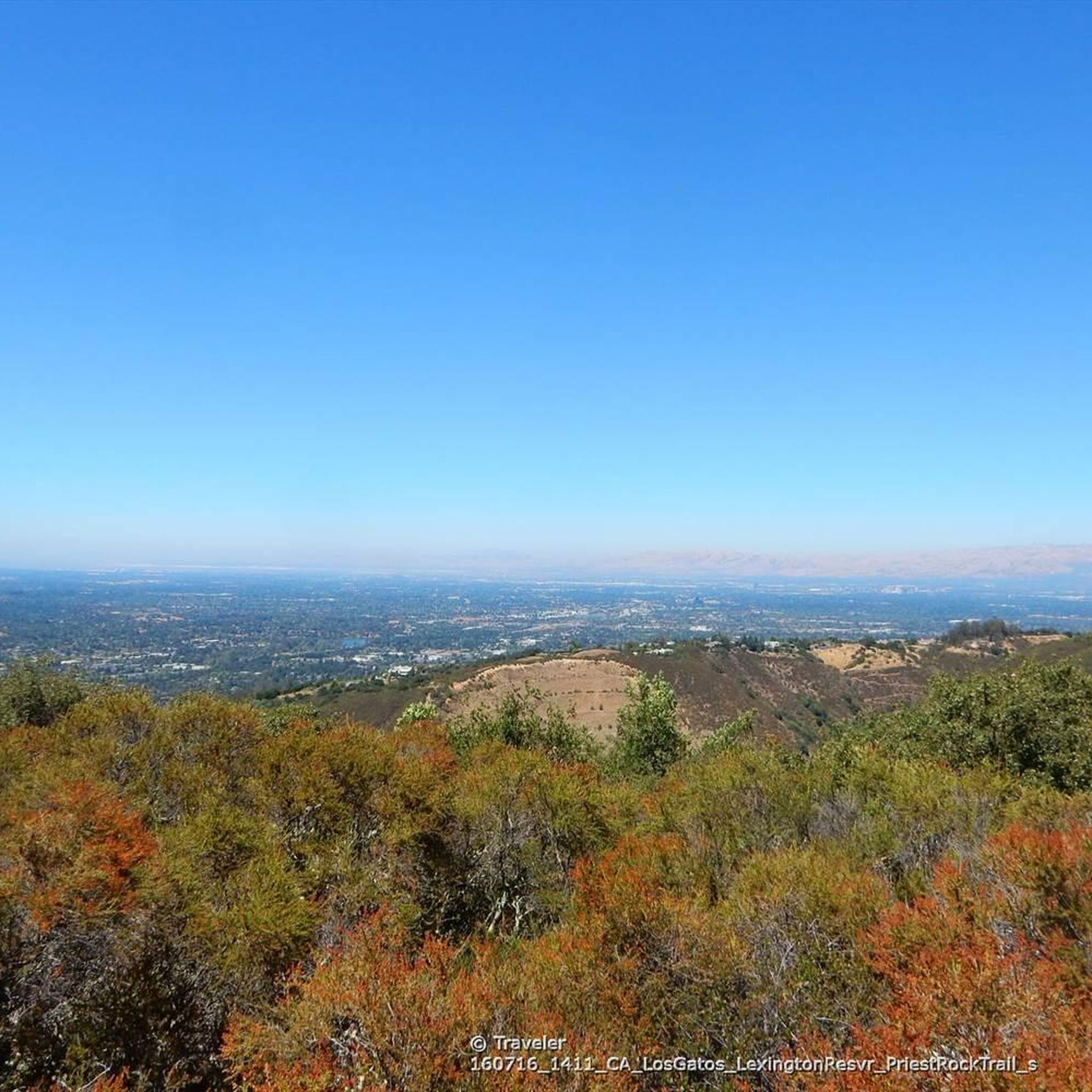
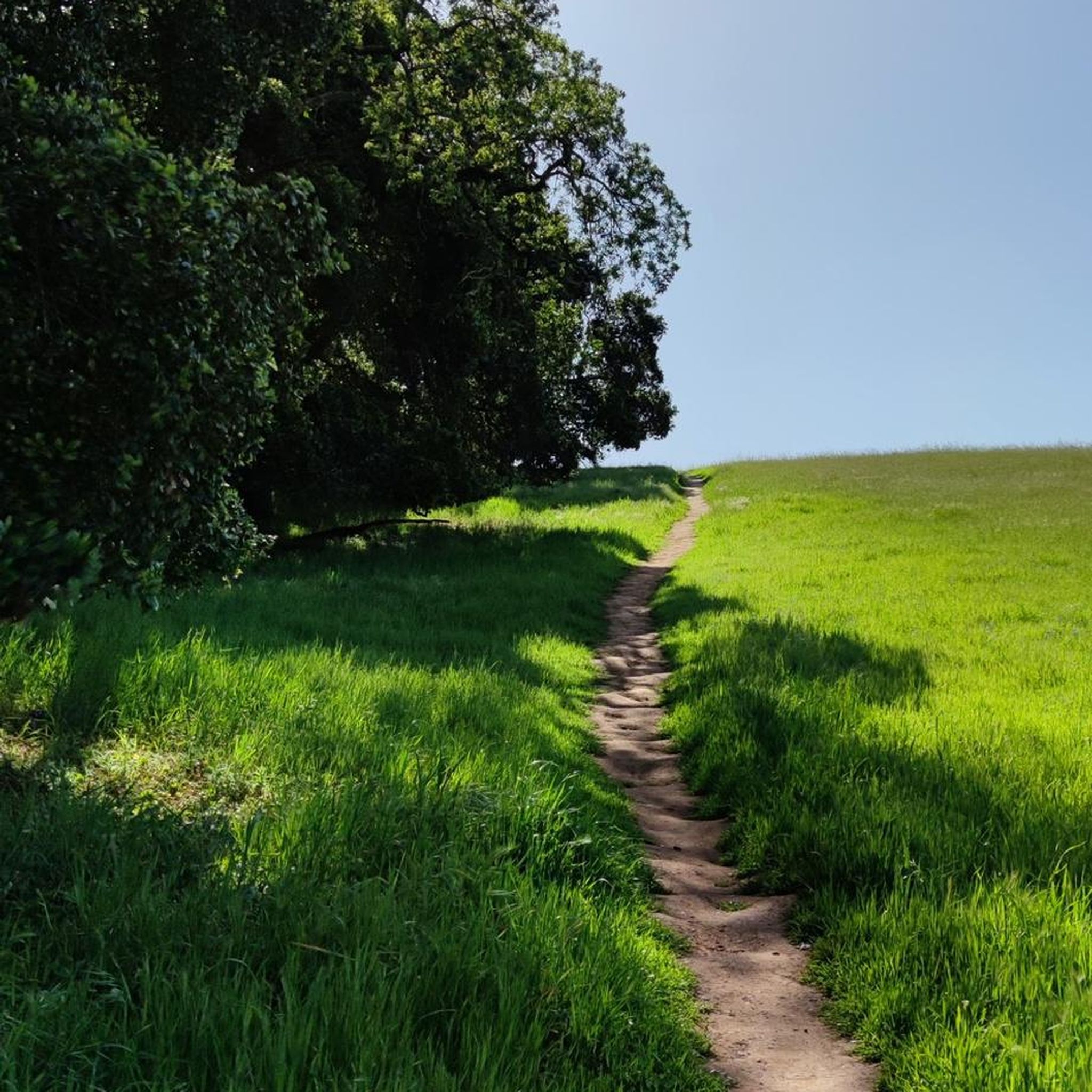
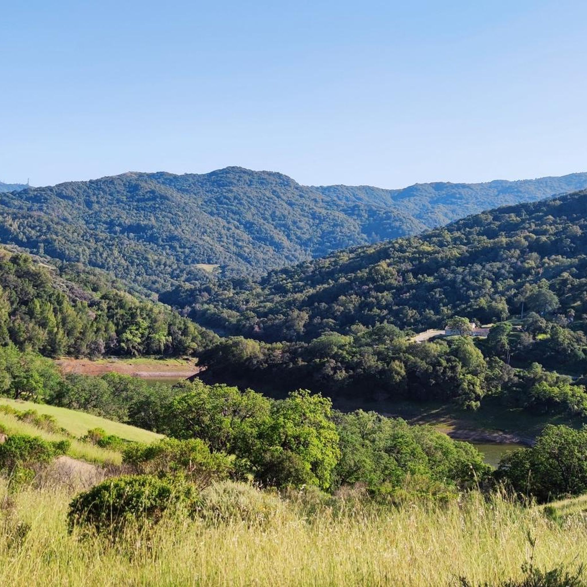
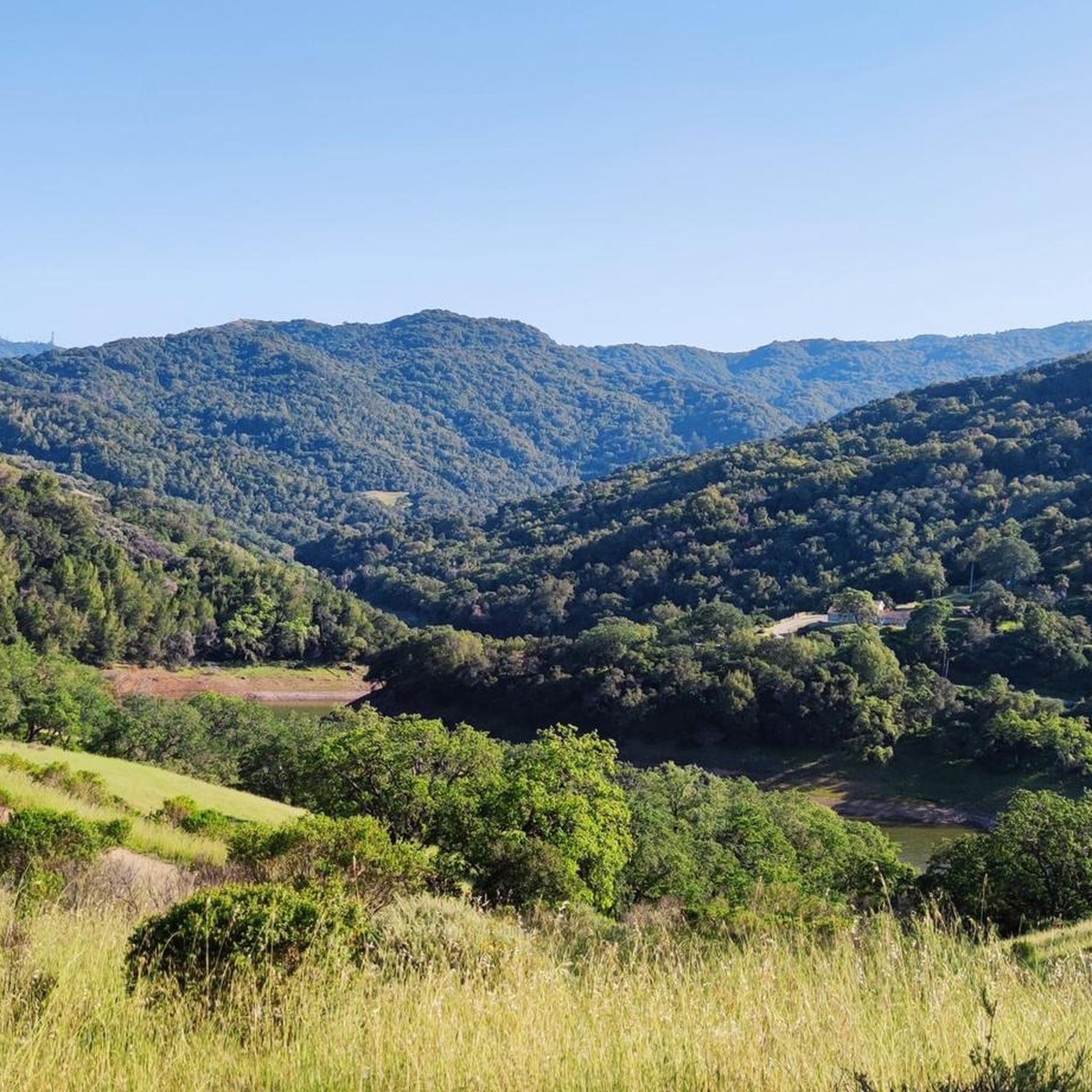
Gravel biking in Almaden Quicksilver County Park is a unique blend of natural beauty and rich history. Expect gorgeous rolling hills, cool forests, and open meadows, all set against the backdrop of the Sierra Azul foothills. The terrain is diverse, with fire-road wide paths that are largely well-groomed, but also sections that can be rocky and hilly, offering a real challenge for experienced riders. You'll find significant elevation changes, ranging from under 600 feet to over 1,700 feet, providing sweeping views of San Jose and Mount Umunhum. For the most vibrant experience, plan your visit in early spring when the park bursts with native wildflowers.
If you only do one ride, we'd start with the Mine Hill Trailhead – Mine Hill Trail loop, a challenging 15.4 miles (24.7 km) route that offers fantastic views and a true taste of the park's character. For those looking for a longer, more varied adventure, the Mine Hill Trailhead – Lisa Killough Trail loop at 25.2 miles (40.7 km) combines paved and unpaved surfaces, including some gravel singletrack, making it perfect for pushing your limits. With over 160 gravel bikers having explored these routes and more on komoot, you can trust our community's insights to help you find your next favorite ride.
Last updated: May 31, 2026
4.0
(1)
12
riders
37.9km
03:15
1,080m
1,080m
Hard gravel ride. Very good fitness required. Mostly paved surfaces. Suitable for all skill levels.
2
riders
43.9km
03:58
1,140m
1,140m
Hard gravel ride. Very good fitness required. Mostly paved surfaces. Suitable for all skill levels.

5.0
(1)
7
riders
Hard gravel ride. Very good fitness required. Mostly paved surfaces. Suitable for all skill levels.
6
riders
Hard gravel ride. Very good fitness required. Mostly paved surfaces. Suitable for all skill levels.
5.0
(1)
8
riders
29.2km
02:00
380m
380m
Moderate gravel ride. Good fitness required. Mostly paved surfaces. Suitable for all skill levels.
Get access to more routes and recommendations from other explorers.
Already have an account?
Our route recommendations are based on thousands of hikes, rides, and runs completed by other people on komoot.
Start today with a free account
Your next adventure awaits.
Tips from the Community

This is a tough climb. It gains 2200 in 5 miles of which 1.1 miles are flat or downhills! There are 3-4 short segments with 15% gradient. The road is exposed so riding when temperature is below 75 is recommended. On summer weekends expect caravans of motorcycles with their fumes and noise. It is a super special experience. Be patient on climb and cautious on the descent. There are restroom facilities but no potable water. This climb is addictive! You will be back! There are locals who climb this road 100+ times annually!
0
0

This is not a very exciting trail to hike. It’s pretty much a trail surrounded by thick walls of vegetation, with almost no opportunity to view your surroundings. The trail is 70% rocks/gravel, and 30% hard packed clay, so avoid wearing snickers
0
0

If you make the summit a fantastic view awaits. Be aware the road goes down then up to the road about then up again to the summit!…
0
0

Still one of the highest points in the Santa Cruz Mountains, even though the military graded and flattened the actual summit to create an Air Force base. The summit was cleaned of hazardous material in 2009, then carefully restored after a lot of community input. It's a lovely place to visit now!
0
0

Climbing Mount Umunhum is a tough but rewarding challenge. The road is steep, with sections reaching up to 18% grades, so pace yourself. The views from the top are spectacular, making the hard work worth it. Start early to avoid traffic and the heat, and be prepared for a long, demanding ascent.
1
0

Bald Peak provides great views of Santa Clara Valley, the Diablo Range, and the Santa Cruz Mountains. Hikers and mountain bikers can access the peak via trails like Hidden Springs and Coyote Peak, which offer moderate to steep climbs. Early mornings or late afternoons are best for enjoying cooler temperatures in hot summer months. The trails are well-maintained and scenic.
0
0
The Hidden Springs Trail in Santa Teresa County Park is a favorite among mountain bikers seeking a challenging yet rewarding ride. This doubletrack loop winds through rolling hills and oak woodlands, with seasonal wildflowers. The trail ends with a steep half-mile climb leading to the Coyote Peak Trail. The path is rated as a blue-level trail with a black-diamond climb difficulty. It’s perfect for XC, gravel, AM, and adaptive MTB riders. Open to both directions and e-bikes (Class 1), it’s best enjoyed during early mornings or evenings to beat the heat.
0
0

Located right by the parking area you can find some additional info before heading out on your ride.
0
0
Frequently Asked Questions
How many gravel bike trails are available in Almaden Quicksilver County Park?
Almaden Quicksilver County Park offers over 20 gravel bike trails. While the park has over 37 miles of hiking trails, 16.6 miles are specifically designated for bikes, providing a diverse network for gravel biking enthusiasts.
What is the general difficulty level of gravel biking in Almaden Quicksilver County Park?
The majority of gravel bike routes in Almaden Quicksilver County Park are considered difficult, with 19 out of 22 trails falling into this category. These routes often feature substantial elevation gains, some exceeding 3,000 feet, and combine paved and unpaved surfaces, including rocky and gravel singletracks. There are also 3 moderate routes available.
Are there any family-friendly gravel bike trails in Almaden Quicksilver County Park?
The gravel biking routes in Almaden Quicksilver County Park are predominantly challenging, with most classified as difficult due to significant elevation changes and varied terrain. While the park is generally family-friendly for hiking and picnicking, specific gravel bike trails suitable for beginners or young children are limited. It's best for families to assess individual routes carefully based on their experience and fitness levels.
What kind of terrain can I expect on the gravel bike trails?
You can expect diverse terrain ranging from steep grades and rolling grasslands to oak tree-lined paths. Trails often feature a mix of paved and unpaved surfaces, including sections with rocks and gravel singletracks. The park spans Capitancillos Ridge, offering varied landscapes and challenging ascents.
What historical attractions can I see along the gravel bike trails?
The park is rich in history from its mercury mining past. You can explore remnants of 19th-century mining operations, including old structures and sealed mine entrances. The New Almaden Quicksilver Mining Museum, located in the Casa Grande, offers insights into this history. You might also encounter sites like English Camp and the San Cristobal Mine.
Are there any scenic viewpoints or natural features to look out for?
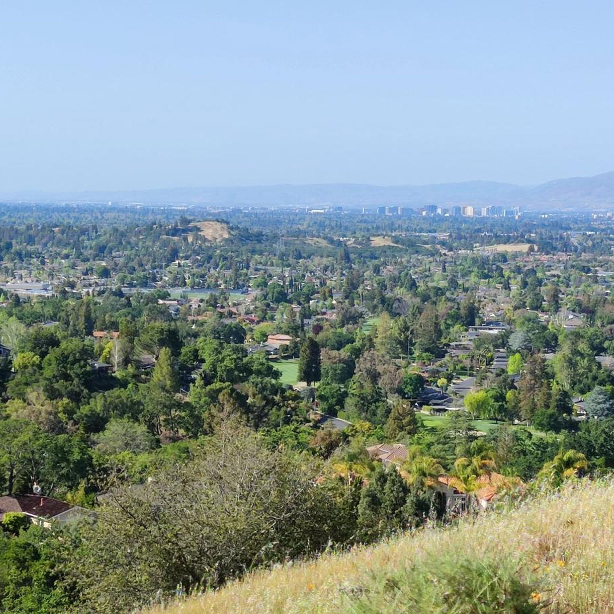
Yes, the park offers picturesque views of San Jose and the surrounding mountains, especially from higher elevations. Trails like Mine Hill Trail provide vistas of Mount Umunhum. You can also find the Guadalupe Reservoir Vista and the Guadalupe Reservoir itself. Depending on the season, you might see wildflowers in spring or moss-draped oak trees in autumn.
What do other gravel bikers enjoy most about Almaden Quicksilver County Park?
The area is highly rated by the komoot community, with an average score of 4.6 stars. Reviewers often praise the challenging yet rewarding routes, the diverse terrain, and the historical context provided by the old mining operations. The scenic views of San Jose and the surrounding mountains are also frequently highlighted.
Can I bring my dog on the gravel bike trails?
Yes, Almaden Quicksilver County Park allows dogs on leash on its trails, making it a versatile outdoor destination for you and your canine companion. Please ensure your dog remains leashed and that you clean up after them.
Are there any circular gravel bike routes in the park?
Yes, many of the routes in Almaden Quicksilver County Park are designed as loops. For example, the challenging Mine Hill Trailhead – Mine Hill Trail loop is a popular option, as is the Lisa Killough Trail – Lisa Killough Trail Viewpoint loop.
What is the best time of year to go gravel biking in Almaden Quicksilver County Park?
The park offers different natural splendors depending on the season. Early spring is ideal for seeing wildflowers and lush green grasses. Autumn provides beautiful landscapes with oak trees. While the park can be enjoyed year-round, consider seasonal stream crossings after rains and be mindful of potential heat during summer months. Always check local weather conditions before heading out.
Where can I park for gravel biking in Almaden Quicksilver County Park?
The park has several access points with parking. A common starting point for many gravel routes is the Mine Hill Trailhead. Other trailheads like Rancho San Vicente Entrance also offer parking facilities, providing convenient access to the trail network.
Are there any routes that offer views of Mount Umunhum?
Yes, several routes provide views of Mount Umunhum, one of the Santa Cruz Mountains' tallest peaks. The Mine Hill Trailhead – Mount Umunhum Road loop from Almaden Valley is a notable option that leads through varied terrain with substantial elevation gains, offering expansive views.
Most popular routes in Almaden Quicksilver County Park
Most popular attractions in Almaden Quicksilver County Park

Get inspired with the komoot mobile app


Explore more
Browse the best Gravel rides in other regions.
