The best gravel rides in Day Pond State Park
4.6
(6)
61
riders
9
rides
Gravel biking in Day Pond State Park offers access to 180 acres of diverse terrain, connecting to the extensive trail network of the adjacent Salmon River State Forest. The region features multi-use trails with varied paths and elevation changes, winding through Connecticut woodland. Glacial remnants, including abundant boulders and unique geological formations like Brimfield Schist, characterize the landscape. Day Pond, a 7-acre body of water, and Day Pond Brook Falls are central natural features within the park.
Best gravel bike…
Last updated: July 11, 2026
11
riders
Moderate gravel ride. Good fitness required. Mostly paved surfaces. Suitable for all skill levels.
5.0
(1)
13
riders
Moderate gravel ride. Good fitness required. Mostly paved surfaces. Suitable for all skill levels.

Sign up for free
5.0
(1)
10
riders
18.6km
01:38
170m
170m
Moderate gravel ride. Good fitness required. Mostly paved surfaces. Suitable for all skill levels.
7
riders
86.4km
05:47
810m
810m
Hard gravel ride. Very good fitness required. Mostly paved surfaces. Suitable for all skill levels.
5
riders
92.8km
06:13
610m
610m
Hard gravel ride. Very good fitness required. Mostly paved surfaces. Suitable for all skill levels.
Get access to more routes and recommendations from other explorers.
Sign up for free
Already have an account?
Our route recommendations are based on thousands of hikes, rides, and runs completed by other people on komoot.
Start today with a free account
Your next adventure awaits.
Login or Signup
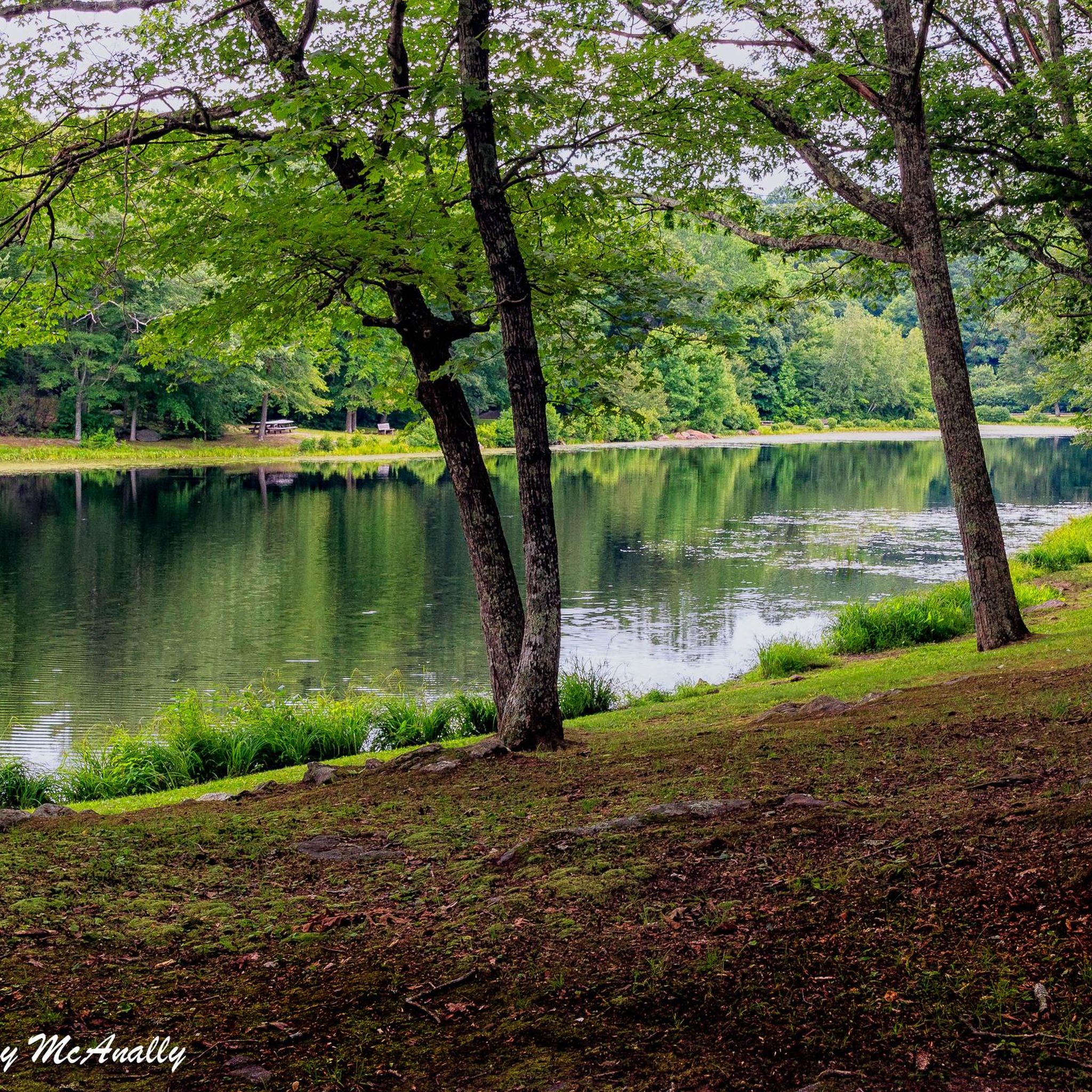
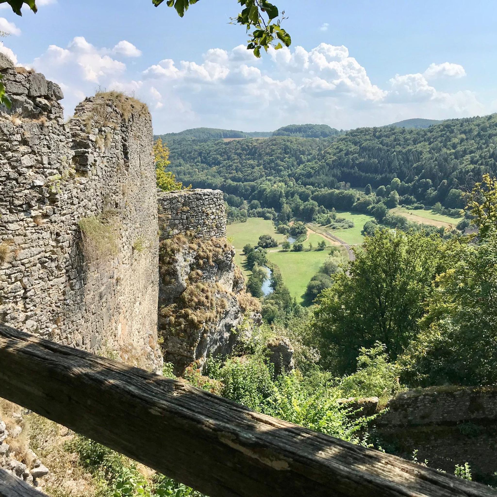


Tips from the Community

The Air Line State Park Trail in Connecticut is a rail trail and linear state park that is a part of the East Coast Greenway. There are several sections including: South (25 miles from East Hampton to Windham), North (21 miles from Windham to Putnam), Thompson addition (6.6 miles from Thompson to the Massachusetts state line), and an additional 3.6-mile spur to Colchester. Recognized as a national recreation trail by the U.S. Department of the Interior in 2002, it offers scenic routes for hiking and biking. This southern section of the trail near East Hampton is a gravel crushed trail that is great to ride on its own, or to access singeltrack in the nearby Salmon River Forest.
0
0

This park runs alongside the Willimantic River, providing scenic views of the water. On the opposite side, there are train tracks where you can occasionally observe interesting carts passing by.
0
0

From here you can take the Colchester Spur Trail. The area surrounding the trail played a small but fascinating role in the American Revolution. Look for markers mentioning skirmish sites and troop movements.
1
0

The Air Line Trail is a paved 50-mile multi-use trail that connects the cities of Thompson and Portland. This trail is open to walkers, bikes, and even horses.
0
0

The green space to the north of this trail is the grounds of the Skungamaug Fish and Game Club, a group devoted to hunting and fishing.
0
0
This former railroad trail is now highly popular among hikers, runners, and bikers. Stretching over 20 miles, it passes through several towns. This section features a well-maintained hard packed dirt trail surrounded by lush green forest.
0
0

Birch Hill Road Open Space West is a nature reserve southeast of Grayville Falls, situated right next to the Air Line State Park Trail. Undeveloped, forested land covers the area between the town's many residential developments, adding to the rural character of this beautiful area.
0
0
This park runs alongside the Willimantic River, providing scenic views of the water. On the opposite side, there are train tracks where you can occasionally observe interesting carts passing by.
0
0
Frequently Asked Questions
How many gravel bike trails are available in Day Pond State Park?
There are 7 gravel bike routes available in Day Pond State Park on komoot, offering a range of experiences from easy to more challenging rides.
What kind of terrain can I expect on gravel bike trails in Day Pond State Park?
Gravel bike trails in Day Pond State Park feature varied paths and elevation changes, winding through diverse Connecticut woodland. You'll encounter glacial remnants like abundant boulders and unique geological formations such as Brimfield Schist, providing a mix of challenges and scenic rides.
Are there any notable natural features or landmarks to see along the gravel bike routes?
Yes, the park is centered around Day Pond, a 7-acre body of water. You can also visit the picturesque Day Pond Brook Falls, a multi-drop waterfall cascading a total of 40 feet. The park also retains historical elements, including stone foundations from the Day family farm.
Are there any family-friendly gravel biking options in Day Pond State Park?
While specific routes aren't designated as 'family-friendly' in the data, the park offers a range of difficulties. Some multi-use trails are generally easier, making them suitable for families. It's best to check individual route details for elevation and distance to find the most appropriate option for your family.
Can I bring my dog on the gravel bike trails in Day Pond State Park?
Day Pond State Park is generally dog-friendly, with many trails allowing leashed dogs. However, always check local park regulations and trail signage before heading out to ensure your furry friend is welcome on your chosen route.
What are the typical lengths and difficulties of gravel bike trails in the park?
The routes vary in length and difficulty. For example, the Skungamaug Fish and Game Club – Colchester Spur Trail junction loop from Colchester is an easy 18.5-mile (29.8 km) route. Other routes, like the Air Line State Park Trail – Former Lyman Viaduct loop from Chittenden Road Open Space South, are moderate and cover about 14.3 miles (23.0 km).
Are there any loop trails for gravel biking in Day Pond State Park?
Yes, many of the gravel biking routes in the area are loops. For instance, the Former Lyman Viaduct – Air Line State Park Trail loop from East Hampton is a moderate 12.9-mile (20.7 km) loop that offers varied terrain.
What is the best time of year for gravel biking in Day Pond State Park?
The park is particularly beautiful in autumn when the surrounding foliage displays vibrant colors, making it an excellent time for scenic rides. Spring and summer also offer pleasant conditions, though summer can be warmer. Winter biking is possible but trail conditions may vary due to snow and ice.
Where can I park when visiting Day Pond State Park for gravel biking?
Day Pond State Park offers designated parking areas for visitors. Specific trailheads often have associated parking lots. It's advisable to check the park map or individual route descriptions for the most convenient parking for your chosen gravel bike trail.
Does Day Pond State Park connect to other trail networks for longer rides?
Yes, Day Pond State Park's trails connect to approximately five miles of trails in the adjoining Salmon River State Forest. This significantly increases the potential for longer rides and varied terrain, allowing you to extend your gravel biking adventures.
What do other gravel bikers enjoy most about riding in Day Pond State Park?
The area is highly rated by the komoot community, with an average score of 3.7 stars. Reviewers often praise the extensive woodland, varied elevation changes, and the connection to broader trail networks like the Air Line State Park Trail, which offers diverse riding experiences.
Are there any cafes or pubs near Day Pond State Park for post-ride refreshments?
While there are no facilities directly within Day Pond State Park, the nearby town of Colchester, Connecticut, offers various options for cafes, pubs, and restaurants where you can refuel after your ride.
Most popular routes in Day Pond State Park

Get inspired with the komoot mobile app


Explore more
Browse the best Gravel rides in other regions.
