The best gravel rides in Parco Alto Milanese
4.4
(554)
1,859
riders
76
rides
Gravel biking in Parco Alto Milanese offers diverse landscapes across its municipalities, serving as a significant green area within a conurbated region. The park features a varied topography, transitioning from dry high plains to lower areas rich in water and springs. Its terrain includes a mix of forests, open fields, wetland areas, and agricultural land, with a ground composition predominantly of gravel, pebbles, and sand. This extensive network of paths, including unpaved segments, is well-suited for gravel biking.
Best gravel…
Last updated: July 8, 2026
3.8
(4)
24
riders
Moderate gravel ride. Good fitness required. Mostly paved surfaces. Suitable for all skill levels.
4.8
(4)
26
riders
Moderate gravel ride. Good fitness required. Mostly paved surfaces. Suitable for all skill levels.

Sign up for free
6
riders
73.3km
04:55
700m
700m
Hard gravel ride. Very good fitness required. Mostly paved surfaces. Suitable for all skill levels.
4.7
(145)
314
riders
49.4km
03:01
390m
390m
Moderate gravel ride. Good fitness required. Mostly paved surfaces. Suitable for all skill levels.
3.9
(7)
42
riders
Moderate gravel ride. Good fitness required. Mostly paved surfaces. Suitable for all skill levels.
Get access to more routes and recommendations from other explorers.
Sign up for free
Already have an account?
Our route recommendations are based on thousands of hikes, rides, and runs completed by other people on komoot.
Start today with a free account
Your next adventure awaits.
Login or Signup
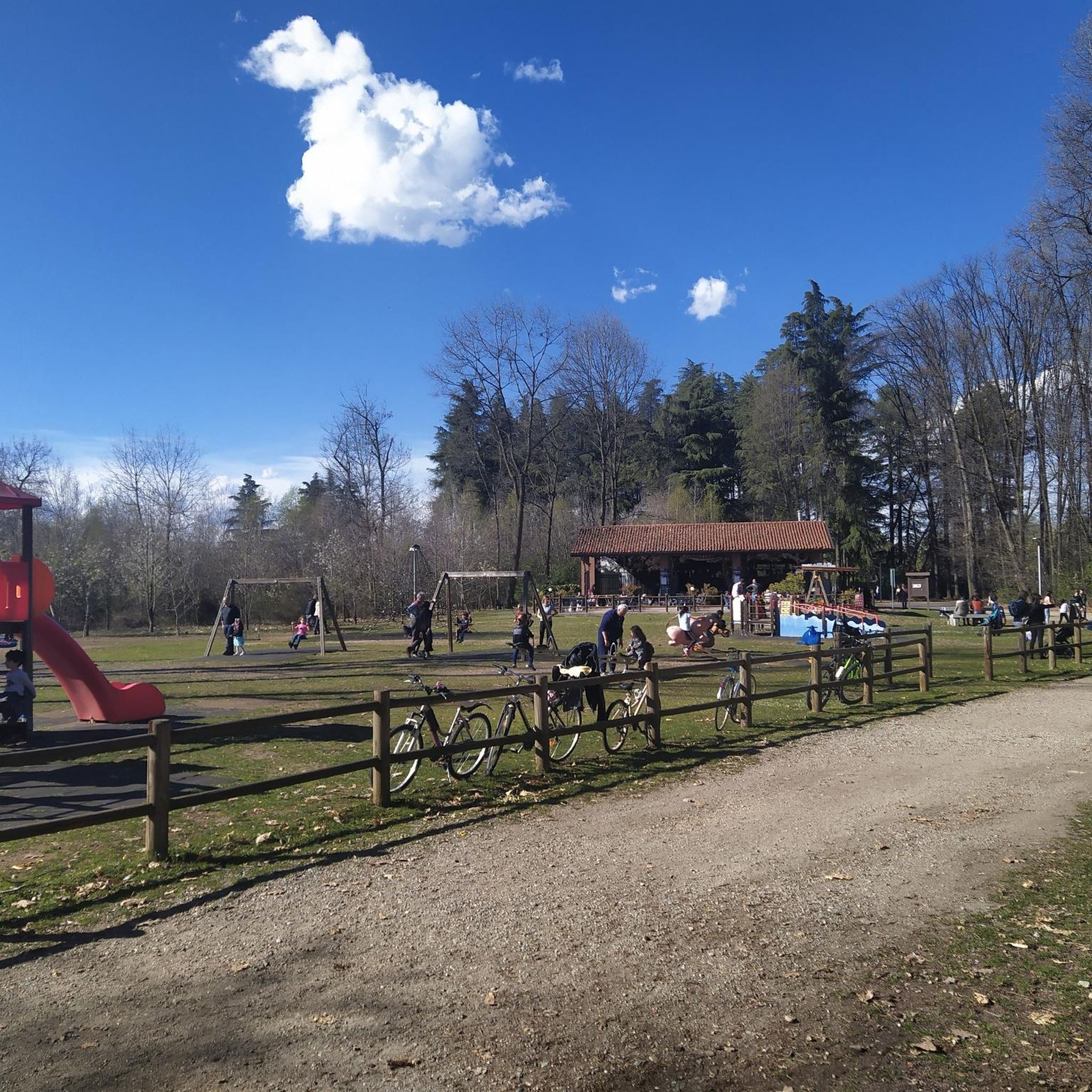
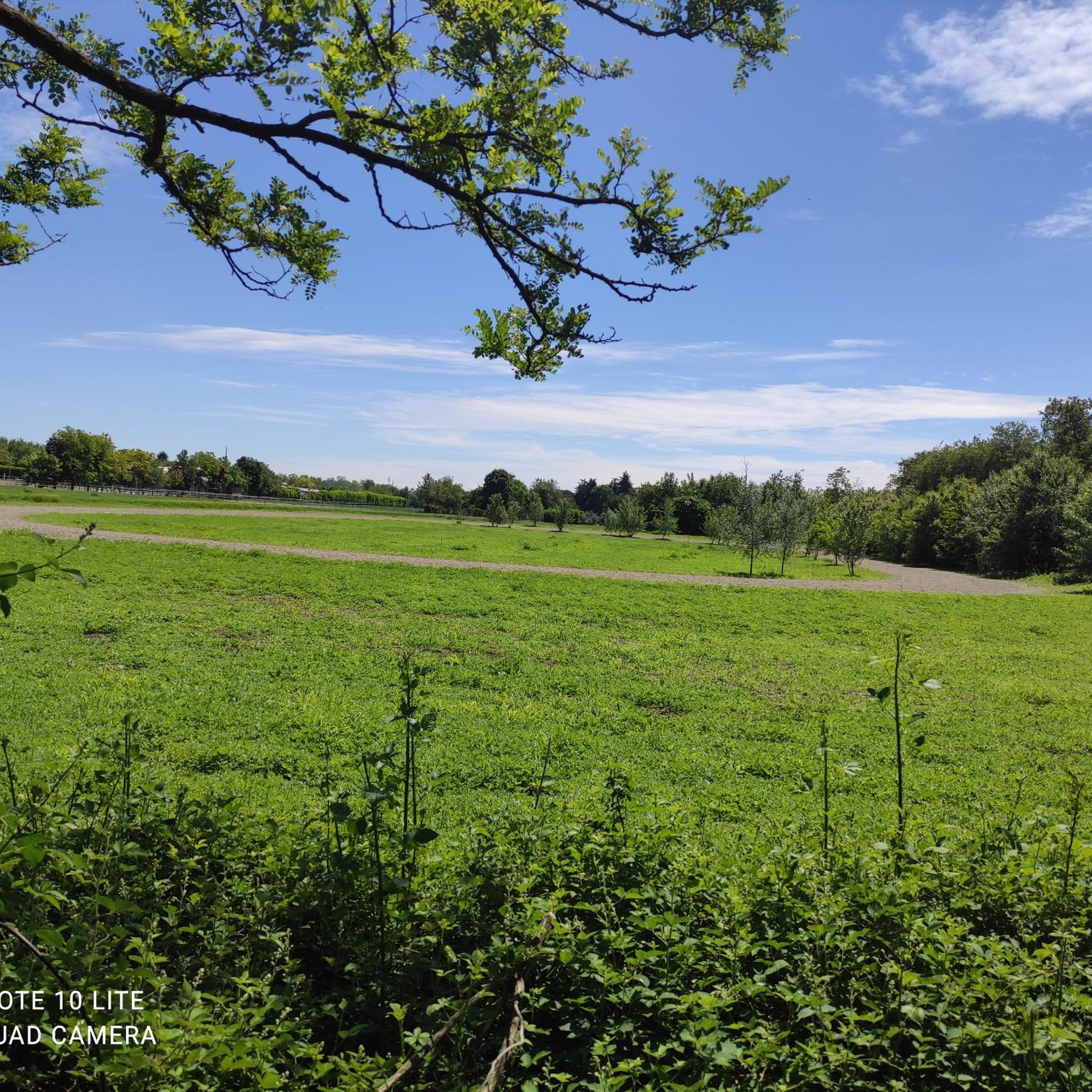
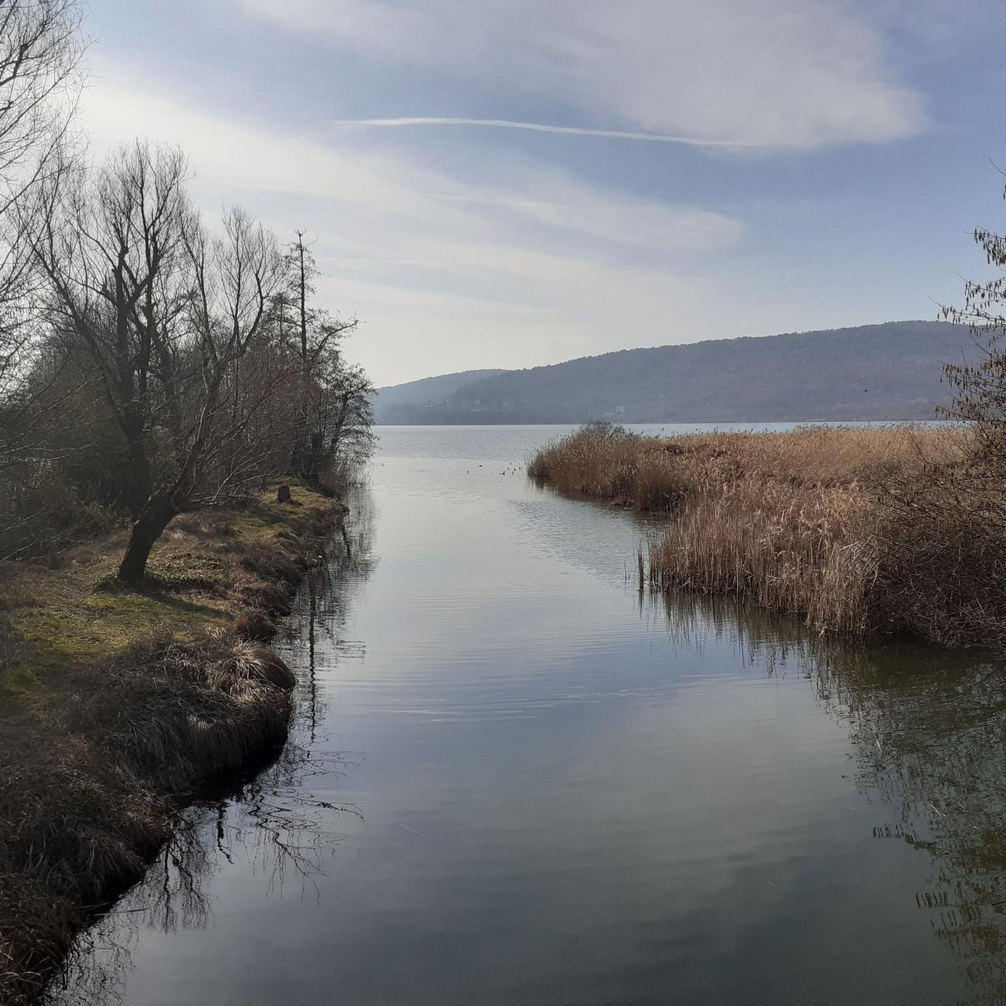

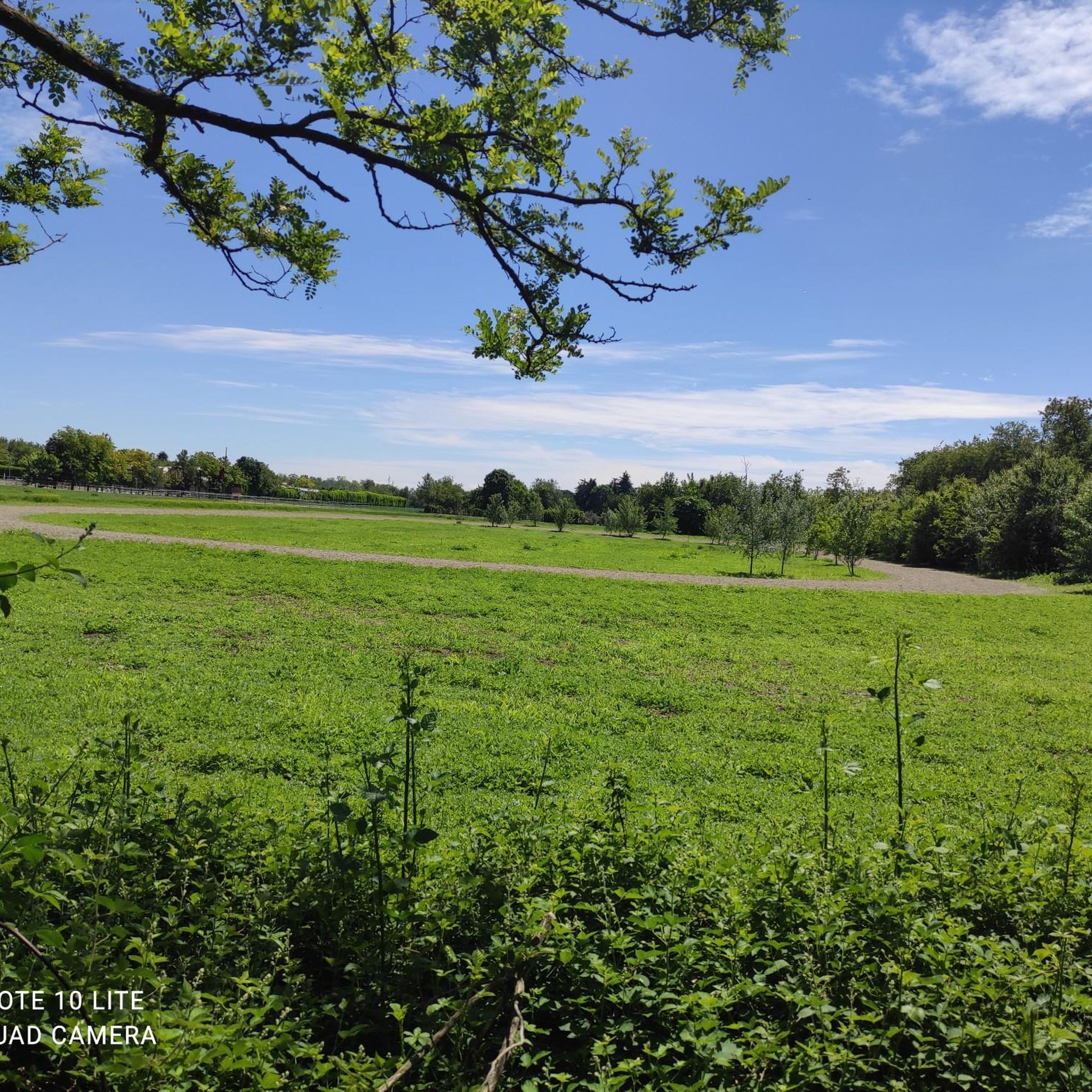
Tips from the Community

The Villoresi Canal begins at the Panperduto Dam, a historic and imposing hydraulic junction located in the municipality of Somma Lombardo (VA), where the canal draws its waters from the Ticino river.
0
0

It is one of the oldest hydroelectric power plants in Italy: it was officially inaugurated on October 9, 1901, in the presence of the King of Italy Vittorio Emanuele III. Between 1935 and 1938, it was completely modernized, based on a project by architect Giovanni Muzio - an exponent of the so-called Novecento artistic movement - also increasing the power to 31.5 MW. The power plant, of significant historical value, represents the perfect union between past and future and is an important element for energy production using flowing water technology.
0
0

The Pista Ciclopedonale della Valle Olona, starting from Castellanza, mainly follows the bank of the Olona River along consortium roads to Solbiate Olona, remaining on the other side of the Valley with respect to the track of the former Valmorea Railway.
1
0
The intersection between the Olona river and the Villoresi Canal occurs in the Alto Milanese area, specifically between the municipalities of Parabiago, Nerviano, and San Vittore Olona. This area is characterized by the intersection of local cycle paths (such as the Olona Greenway) and the long irrigation canal, offering naturalistic and historical routes.
0
0

Beautiful cycle path along the Olona River. Several points of interest: the Torba Monastery (FAI) and, with a short detour, the Castelseprio Archaeological Park with the beautiful church of Santa Maria Foris Portas.
1
0

Is the bike path open? I knew it was closed for construction?
0
0

What a fantastic atmosphere! Stop and admire the view!
1
0
the view is always fascinating!
2
0
Frequently Asked Questions
How many gravel bike trails are available in Parco Alto Milanese?
Parco Alto Milanese offers a wide selection of gravel biking routes, with over 100 trails to explore. These range from easy, family-friendly rides to more challenging routes for experienced cyclists.
What kind of terrain can I expect on gravel bike trails in Parco Alto Milanese?
The park features a diverse topography, transitioning from dry high plains to areas rich in water and springs. You'll encounter a mix of forests, open fields, wetland areas, and agricultural land. The ground is predominantly gravel, pebbles, and sand, ensuring good drainage and varied riding surfaces suitable for gravel bikes.
Are there any easy gravel routes suitable for beginners or families?
Yes, Parco Alto Milanese has several easy gravel routes. For instance, the Via Gaggio Outdoor War Museum – Cycling Path Near Tornavento loop from Busto Arsizio Nord is an easy 28.4 km path that takes about 1 hour 54 minutes to complete, offering a pleasant ride through natural scenery.
What are some longer or more challenging gravel biking options in the park?
For those seeking a challenge, routes like the Panperduto Dam – Panperduto Dam loop from Busto Arsizio Nord cover 69.9 km and are considered difficult, taking around 5 hours 2 minutes. Another demanding option is the Olona Valley Cycle Path – Olona Valley cycle path loop from Castellanza, which spans 74.5 km.
What natural features or landmarks can I see along the gravel bike trails?
While riding, you can experience diverse landscapes including forests, open fields, and wetland areas. Keep an eye out for native flora like oak and robinia, and various wildlife such as owls, swallows, and squirrels. The park also features facilities like La Pinetina, a pine forest with picnic spots, and La Cascinetta, a restored farmhouse hosting a small agricultural museum.
Is Parco Alto Milanese suitable for dog-friendly cycling?
The park's extensive network of paths and open spaces makes it generally welcoming for activities with dogs, provided they are kept under control and local regulations regarding leashes and waste disposal are followed. Many trails are multi-use, shared with walkers and horseback riders.
Are there any circular gravel routes available?
Yes, many of the gravel routes in Parco Alto Milanese are designed as loops, allowing you to start and end at the same point. Examples include the Via Gaggio Outdoor War Museum – Scenic Viewpoint🤳 loop from Busto Arsizio Nord, a 62.9 km moderate trail, and the Olona Valley cycle path – Olona Valley Cycle Path loop from Legnano, a 49.4 km moderate route.
What is the best time of year to go gravel biking in Parco Alto Milanese?
The park's ground composition of gravel, pebbles, and sand ensures good drainage, making it suitable for cycling in various conditions. Spring and autumn generally offer pleasant temperatures and beautiful scenery, while summer can be enjoyable, especially in forested areas. Always check local weather conditions before heading out.
What do other gravel bikers say about their experience in Parco Alto Milanese?
The gravel biking routes in Parco Alto Milanese are highly rated by the komoot community, with an average score of 4.2 stars from over 400 reviews. Riders often praise the varied terrain, the extensive network of paths, and the opportunity to explore both natural beauty and historical points of interest.
Are there any places to stop for refreshments or picnics along the trails?
Yes, the park is equipped with several facilities. La Pinetina, for example, is a 10-hectare area featuring a pine forest, picnic spots, and a refreshment point, making it an ideal stop during your ride. You'll also find various picnic and recreation areas throughout the park.
Is parking available for gravel bikers visiting Parco Alto Milanese?
Given the park spans across municipalities like Legnano, Busto Arsizio, and Castellanza, there are likely various parking options available near access points and facilities within these towns. For specific starting points, it's advisable to check local parking information for the area you plan to begin your ride.
Most popular routes in Parco Alto Milanese

Get inspired with the komoot mobile app


Explore more
Browse the best Gravel rides in other regions.
