The best gravel rides in Bauschlotter Au
4.2
(60)
259
riders
64
rides
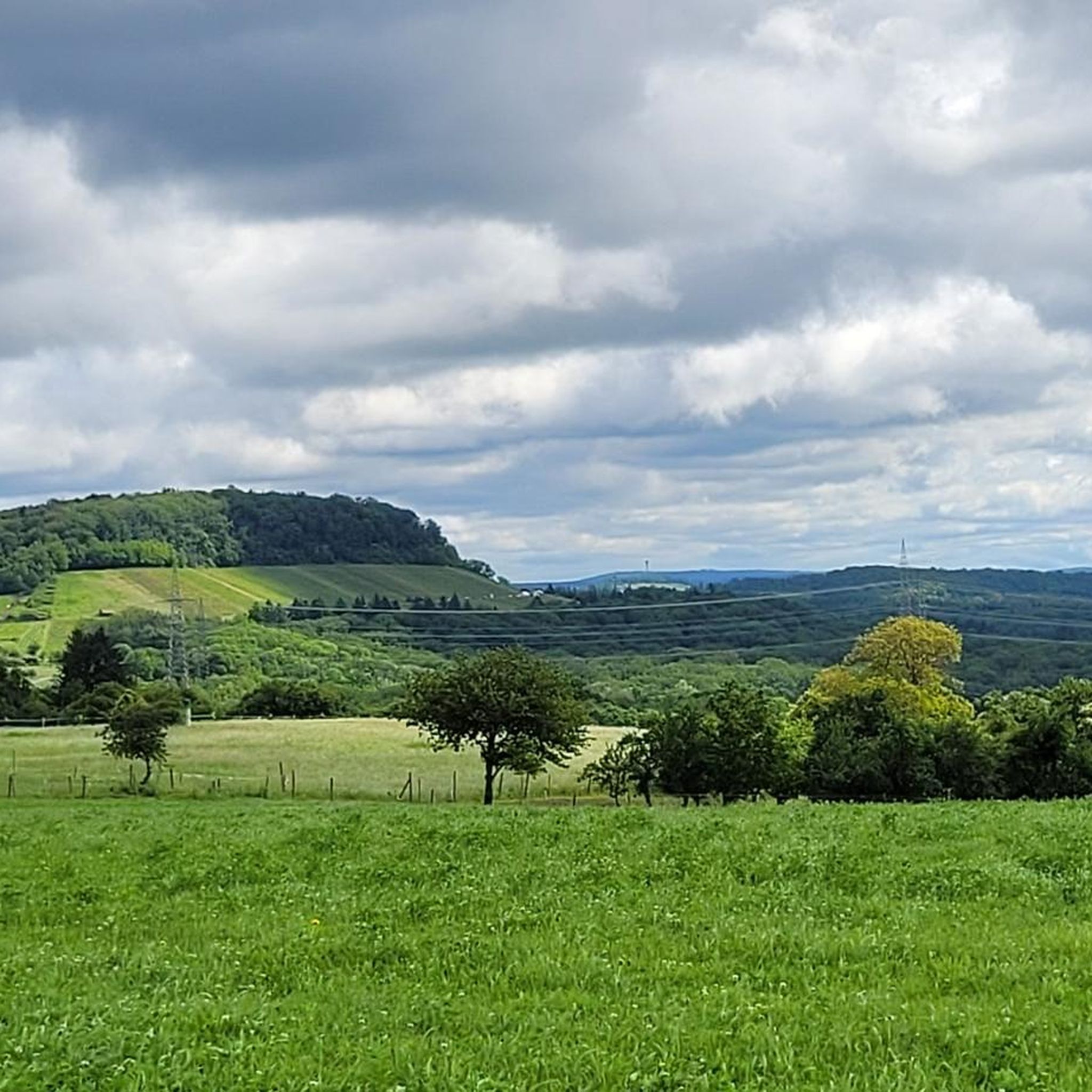
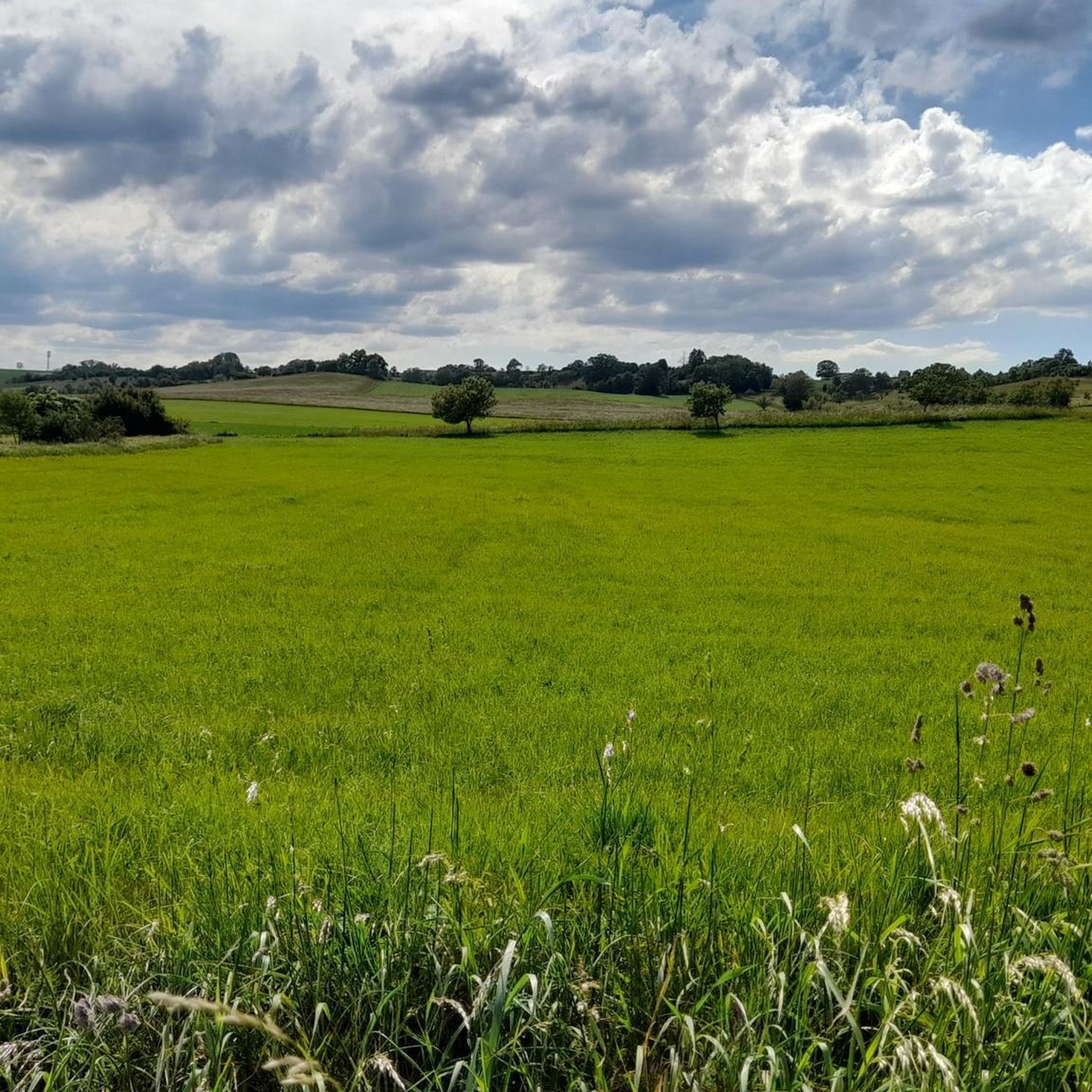
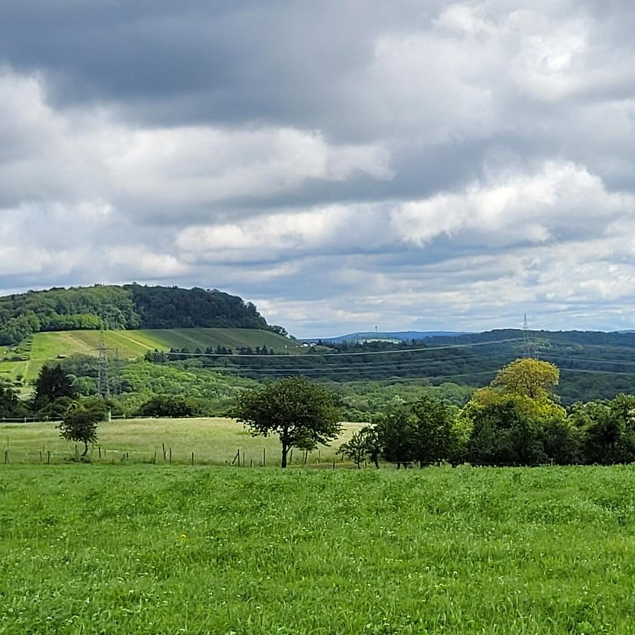
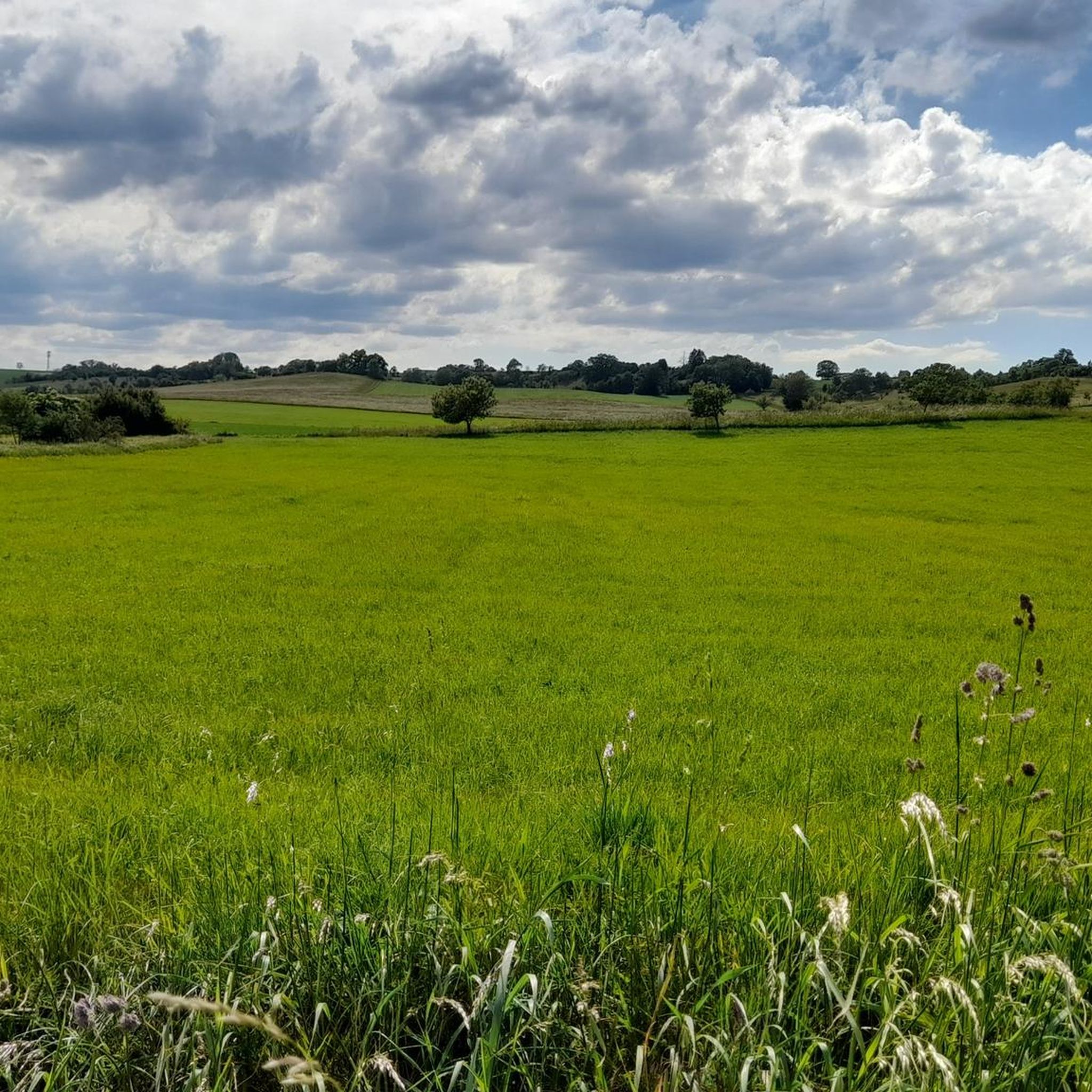
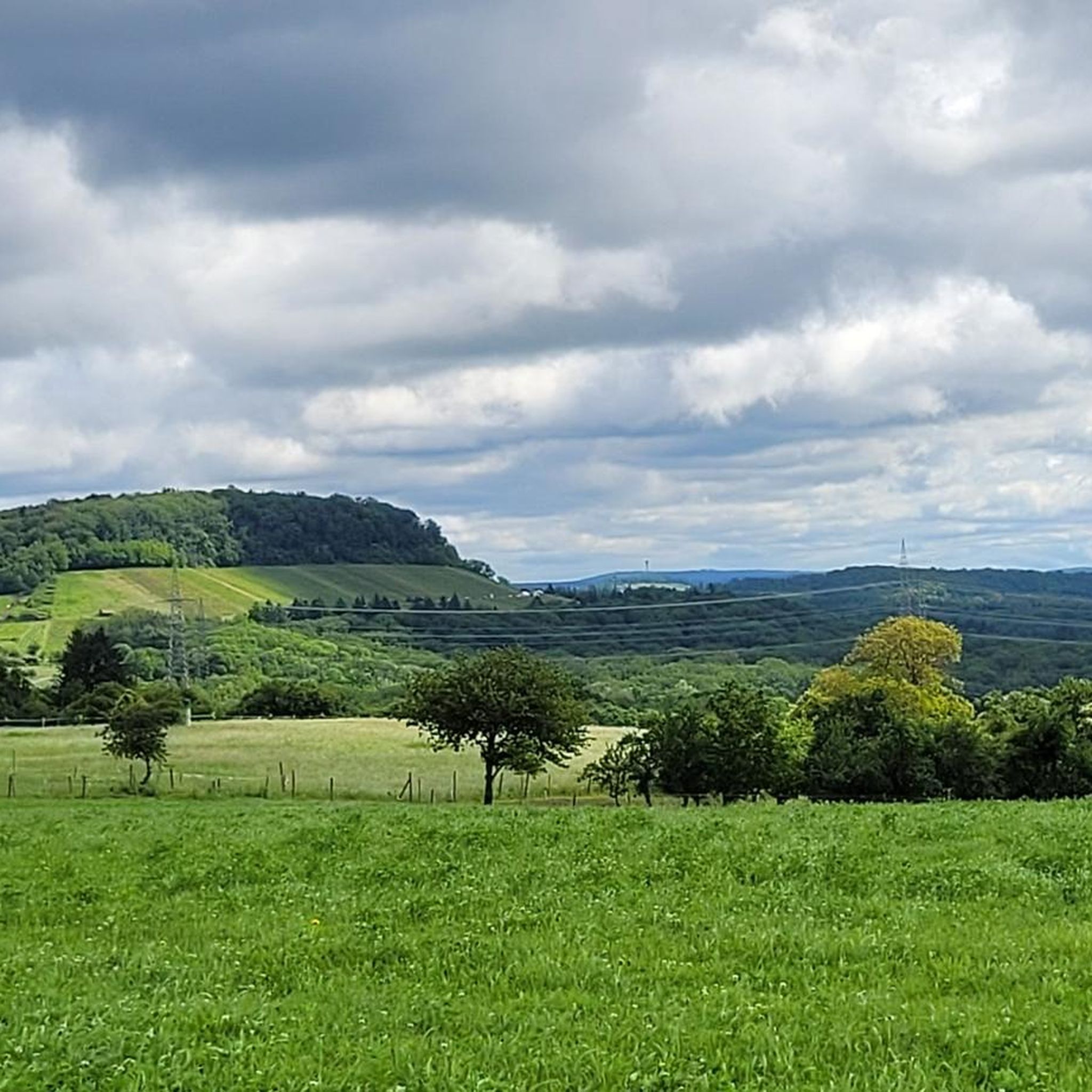
Gravel biking in Bauschlotter Au offers routes through a diverse natural environment characterized by open meadow landscapes with scattered trees, small wetlands, and traditional orchards. Deciduous forests and herbaceous vegetation zones define the terrain, situated within the valley head of the Erlenbach stream and its tributaries. These areas provide varied surfaces for gravel biking, bordering the "Erlen-, Metten- und Gründelbachniederung" nature and landscape protection area. The region also features the rolling hills of the Kraichgau, offering varied terrain for gravel…
Last updated: October 13, 2026
4.4
(7)
18
riders
54.2km
03:10
580m
580m
Hard gravel ride. Very good fitness required. Mostly paved surfaces. Suitable for all skill levels.
5.0
(1)
7
riders
62.8km
03:39
740m
740m
Hard gravel ride. Very good fitness required. Mostly paved surfaces. Suitable for all skill levels.

4.6
(21)
79
riders
33.5km
01:53
210m
210m
Moderate gravel ride. Good fitness required. Mostly paved surfaces. Suitable for all skill levels.
4
riders
Moderate gravel ride. Good fitness required. Mostly paved surfaces. Suitable for all skill levels.
4.3
(3)
14
riders
34.2km
02:58
570m
570m
Hard gravel ride. Very good fitness required. Mostly paved surfaces. Suitable for all skill levels.
Get access to more routes and recommendations from other explorers.
Already have an account?
Our route recommendations are based on thousands of hikes, rides, and runs completed by other people on komoot.
Start today with a free account
Your next adventure awaits.
Tips from the Community

Although there is no official path to this former quarry, a small trail can be found that leads directly into it. Since there are no barriers or fences here, you should not venture too close to the edge.
4
0

The Bannhalde is a 417 m high, wooded summit of the Stromberg, a ridge in the Stromberg-Heuchelberg Nature Park, which extends between Bretten in the west and the Neckar in the east. It rises above Sternenfels and houses the Stromberg operational site of the Lake Constance Water Supply Association and a mobile phone transmission mast. Only a few meters away, the K 4514 crosses its highest point. Quelle: https://www.quaeldich.de/paesse/bannhalde/
0
0

Unesco World Heritage site Maulbronn Monastery from the Middle Ages
0
0

Beautiful, well-paved stretch along the Nagold with a slight incline towards Nagold...
0
0

Hill sofa with monastery view
0
0
Resting benches with a view of the monastery
0
0
A natural hiking trail runs directly along the Enz river below the Kammertenberg nature reserve.
6
0
A pedestrian and cycle bridge connects Lomersheim and Mühlhausen. The bridge also offers a good view of the Enz River and the Kammertenberg nature reserve.
6
0
Frequently Asked Questions
Are there any restrictions for gravel biking in the Bauschlotter Au nature reserve itself?
Yes, it's important to note that gravel biking is generally prohibited within the designated Naturschutzgebiet Bauschlotter Au. As a nature reserve, strict regulations are in place to protect its natural integrity, meaning cycling is not permitted inside the reserve. However, the surrounding region offers numerous excellent gravel biking opportunities.
What kind of terrain can I expect on gravel bike trails near Bauschlotter Au?
The gravel bike trails in the broader Bauschlotter Au region feature a diverse landscape. You can expect to ride through open meadow landscapes with scattered trees, past small wetlands, and traditional orchards. Deciduous forests and herbaceous vegetation zones are also common, all set within the rolling hills of the Kraichgau region. This variety provides engaging surfaces for gravel biking.
How many gravel bike trails are available in the Bauschlotter Au area?
There are over 130 gravel bike routes available in the Bauschlotter Au area, catering to various skill levels. This includes a good mix of moderate and difficult trails, ensuring there's something for every gravel biker.
Are there any easy gravel bike routes suitable for beginners or families?
Yes, the Bauschlotter Au area offers several easier gravel bike routes. For instance, the Gengenbachtal Trail – View of Eisinger Loch loop from Neulinger Dolinen is a moderate 12-mile (19.4 km) route that offers scenic views and is a great option for those looking for a less strenuous ride.
What are some of the longer or more challenging gravel bike routes in the region?
For those seeking a challenge, the Schefenackertrail – Kirbachtal Valley Road loop from Maulbronn West is a difficult 31.5-mile (50.7 km) path winding through the Kirbachtal Valley. Another demanding option is the Würm Valley Cycle Path – Paulinensee loop from Niefern, which covers over 33 miles (54.5 km) with significant elevation changes.
Are there any circular gravel routes available?
Yes, all the featured gravel routes in the Bauschlotter Au area are designed as loops, allowing you to start and end your ride at the same point. This includes popular options like the Root Trail Mühlacker – Aalkistensee loop from Neulinger Dolinen.
What do other gravel bikers say about the routes in Bauschlotter Au?
The gravel routes in the Bauschlotter Au area are highly rated by the komoot community, with an average score of 4.6 out of 5 stars from over 125 reviews. Many visitors praise the varied terrain, the scenic views, and the well-maintained paths that make for an enjoyable gravel biking experience.
What natural features or attractions can I see near the gravel bike trails?
While cycling is restricted within the core nature reserve, the surrounding area offers beautiful natural features. You might encounter parts of the Erlenbach stream and its tributaries, and the landscape is rich in biodiversity, particularly birds. For specific points of interest, consider visiting the Bauschlotter Au Nature Reserve (for hiking) or the Zigeunerwälder Forest Playground, which are nearby attractions.
Is there parking available for gravel bikers in the Bauschlotter Au area?
While specific parking information for each route varies, the Bauschlotter Au region is generally accessible by car. You can often find parking in the towns and villages surrounding the nature reserve, such as Neulingen or Maulbronn, which serve as common starting points for many routes.
What is the best season for gravel biking in the Bauschlotter Au region?
The Bauschlotter Au region is enjoyable for gravel biking throughout much of the year. Spring and autumn offer pleasant temperatures and beautiful scenery with blooming meadows or colorful foliage. Summer can be great, especially in the forested sections, while winter riding is possible, but conditions may vary with snow or ice.
Are there any facilities like cafes or pubs near the gravel bike routes?
The gravel bike routes in the Bauschlotter Au area often pass through or near charming villages and towns like Neulingen, Ölbronn-Dürrn, or Maulbronn. These locations typically offer various facilities, including cafes, restaurants, and pubs where you can refuel and relax after your ride.
Can I reach the gravel biking areas by public transport?
The Bauschlotter Au region is situated between developed areas like Neulingen and Ölbronn-Dürrn. Public transport options, such as regional buses or trains to nearby towns, can provide access points to the wider gravel biking network. It's advisable to check local public transport schedules for the most convenient connections to your chosen starting point.
Most popular routes in Bauschlotter Au
Most popular attractions in Bauschlotter Au

Get inspired with the komoot mobile app


Explore more
Browse the best Gravel rides in other regions.
