The best gravel rides in Tretzendorfer Weiher
4.7
(18)
124
riders
35
rides
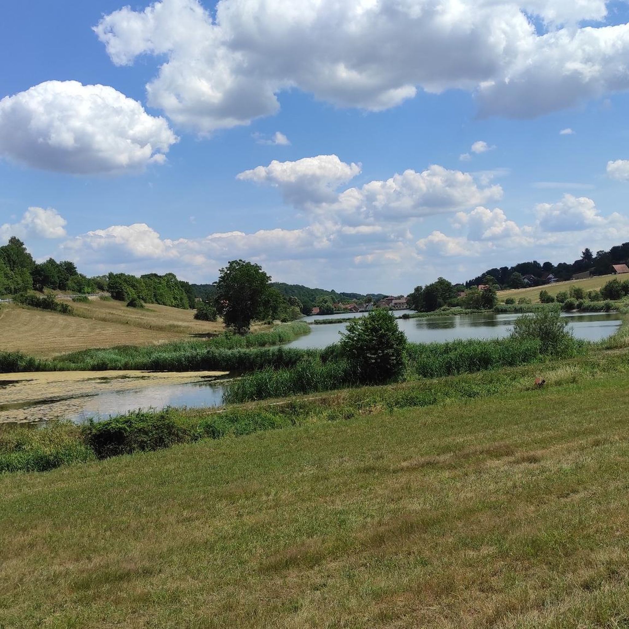
Gravel biking in Tretzendorfer Weiher offers a diverse landscape characterized by river valleys, pond systems, and forested trails. The region features varied terrain, from the banks of the Main River to the elevations of the Steigerwald. Gravel bike trails around Tretzendorfer Weiher often incorporate a mix of paved and unpaved surfaces. The area provides opportunities for both leisurely rides along water bodies and more challenging routes through hills and woodlands.
Best gravel bike trails in Tretzendorfer Weiher
- The most popular…
Last updated: July 17, 2026
12
riders
56.3km
03:08
400m
400m
Moderate gravel ride. Good fitness required. Mostly paved surfaces. Suitable for all skill levels.
14
riders
75.3km
04:51
1,010m
1,010m
Hard gravel ride. Very good fitness required. Mostly paved surfaces. Suitable for all skill levels.

Sign up for free
5.0
(1)
15
riders
Hard gravel ride. Very good fitness required. Mostly paved surfaces. Suitable for all skill levels.
4.5
(2)
4
riders
Hard gravel ride. Very good fitness required. Mostly paved surfaces. Suitable for all skill levels.
8
riders
Moderate gravel ride. Good fitness required. Mostly paved surfaces. Suitable for all skill levels.
Get access to more routes and recommendations from other explorers.
Sign up for free
Already have an account?
Our route recommendations are based on thousands of hikes, rides, and runs completed by other people on komoot.
Start today with a free account
Your next adventure awaits.
Login or Signup
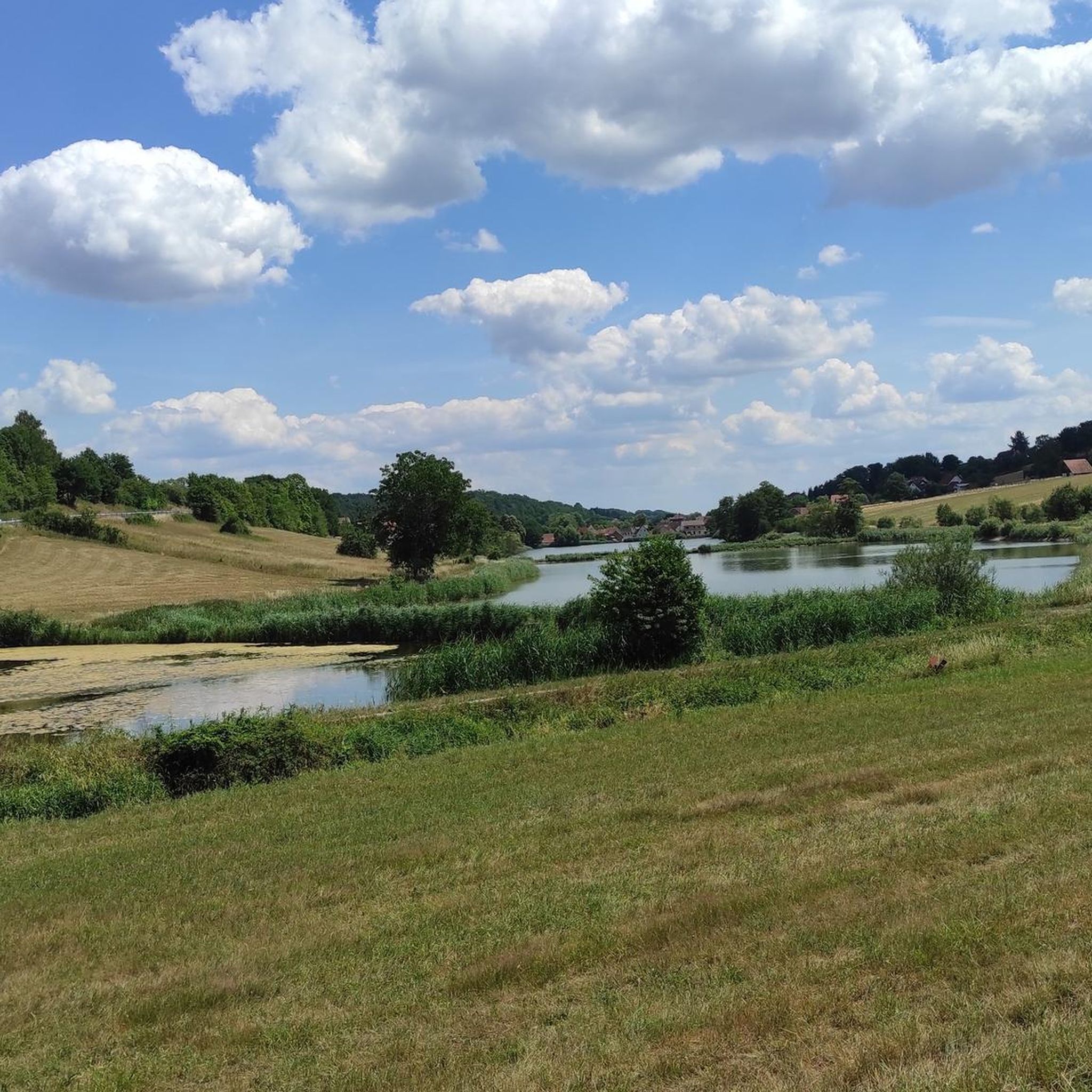
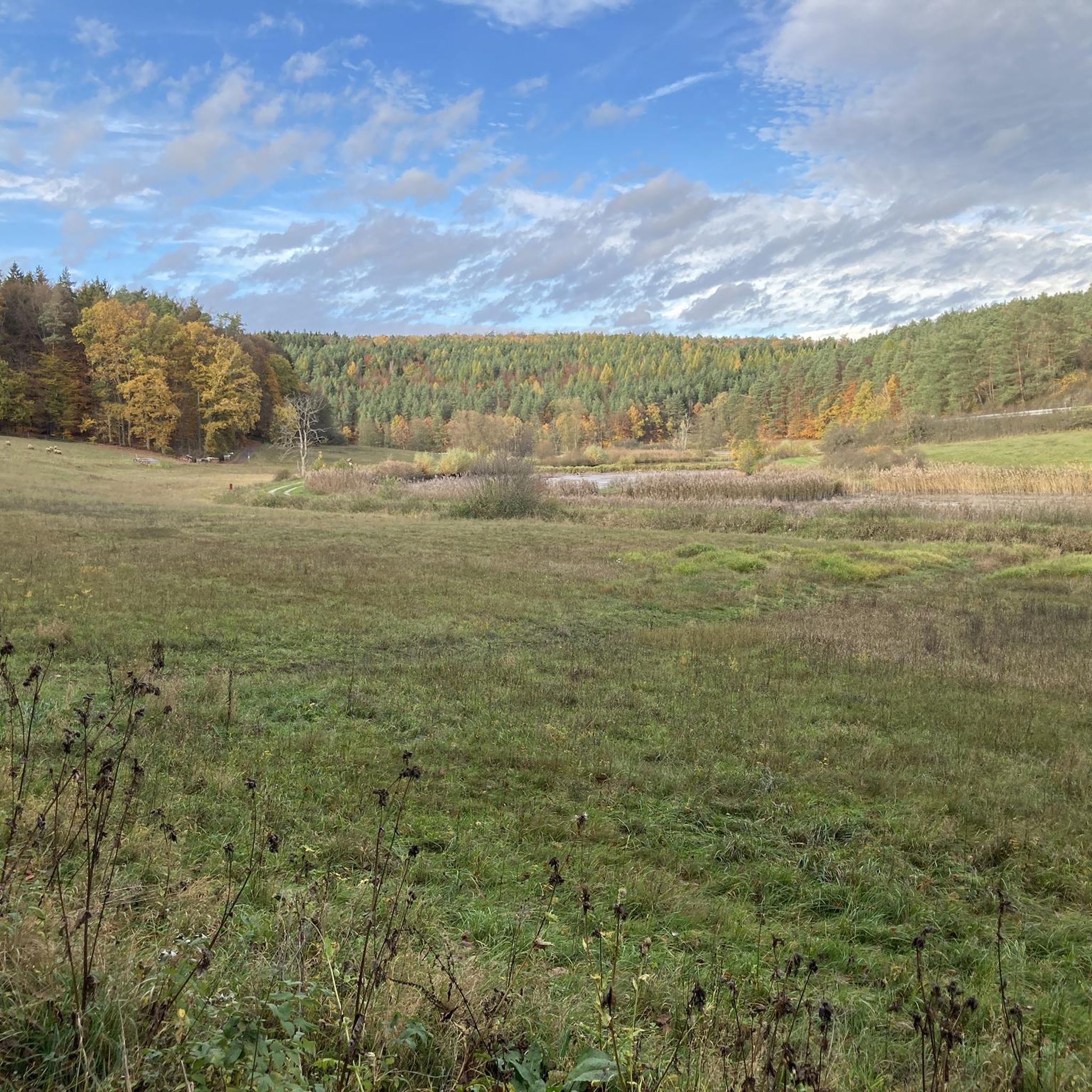
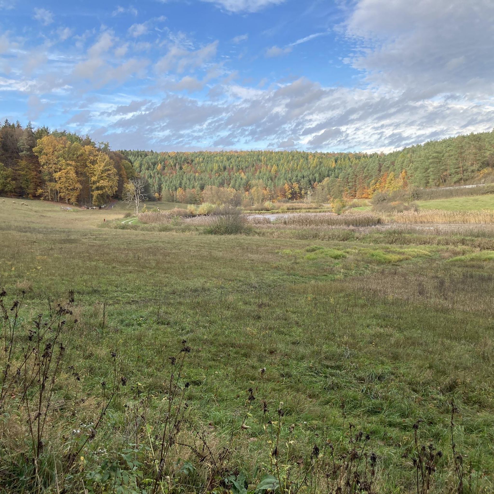
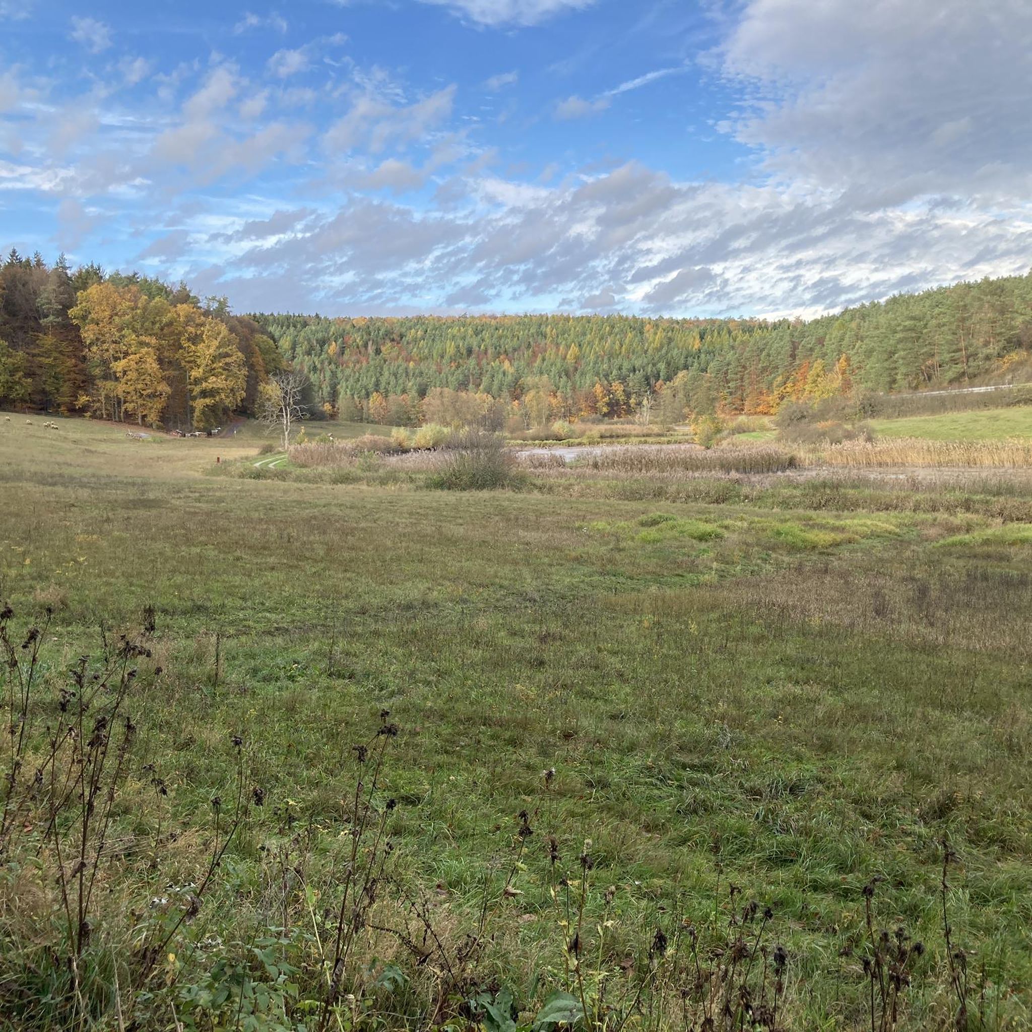
Tips from the Community

Unfortunately, there were many trees on the trail section today. In some places, it looked like they had been deliberately placed there. Otherwise, it would have been a nice descent
0
0

The Zabelstein ruins are worth seeing.
1
0
Beautiful lock system from the Regnitz to the Main-Danube Canal
2
0

The ruins were once considered the strongest fortification of the Bishopric of Würzburg. Information at: https://www.frankentourismus.de/poi/zabelstein-9629/
3
0

Like many other castles, Zabelstein Castle was damaged in the Peasants’ War of 1525,
3
0

Stones of a former tower.
1
0

The town hall is located in the castle.
0
0

A journey into history with lots of information on the panels.
11
0
Frequently Asked Questions
How many gravel bike trails are available in Tretzendorfer Weiher?
The Tretzendorfer Weiher region offers a wide selection of gravel bike routes, with over 50 trails available for exploration. These range from moderate to more challenging options.
What is the typical difficulty of gravel bike trails in this area?
The trails around Tretzendorfer Weiher cater to various skill levels. While there is one easy route, the majority are classified as moderate (24 routes) or difficult (25 routes), offering diverse challenges for gravel bikers.
Are there any family-friendly gravel bike routes in Tretzendorfer Weiher?
For families or those seeking a less strenuous ride, the region does offer some easier sections. While most listed routes are moderate to difficult, you can find paths suitable for a more relaxed pace, particularly along the Main River or around the Tretzendorf Ponds. Look for routes with less elevation gain for a more comfortable family experience.
What are the typical distances for gravel bike trails in Tretzendorfer Weiher?
Gravel bike trails in the region vary significantly in length. You can find shorter loops, such as the Main riverside near Eltmann – Tretzendorf Ponds loop from Oberaurach, which is about 16.4 miles (26.5 km). Longer, more challenging routes like the Böhlgrund Trails – Tretzendorf Ponds loop from Ebelsbach-Eltmann can extend up to 46.8 miles (75.3 km).
What kind of views and attractions can I expect along the gravel bike routes?
The Tretzendorfer Weiher area is rich in natural beauty and points of interest. Many routes offer scenic views of the Main River and the surrounding landscape. You can also discover highlights such as the Tretzendorfer Weiher Observation Platform, the tranquil Tretzendorf Ponds, and sections of the Aurachtal Scenic Road in Naturpark Steigerwald.
Are there any loop trails for gravel biking in Tretzendorfer Weiher?
Yes, many of the gravel bike routes in Tretzendorfer Weiher are designed as loops, allowing you to start and finish at the same point. Examples include the popular Lembach Chapel – View of the Main River loop from Oberaurach, which offers expansive views.
When is the best time of year to go gravel biking in Tretzendorfer Weiher?
The most enjoyable time for gravel biking in Tretzendorfer Weiher is typically from spring through autumn (April to October). During these months, the weather is generally mild, and the trails are in good condition. Winter riding is possible but may involve colder temperatures and potentially muddy or icy sections, especially on unpaved paths.
What do other gravel bikers say about the trails in Tretzendorfer Weiher?
The gravel biking experience in Tretzendorfer Weiher is highly regarded by the komoot community, with an average rating of 4.7 stars from over 20 reviews. Riders often praise the diverse terrain, combining riverside paths, pond-side trails, and forested sections, as well as the scenic views of the Main River and the Steigerwald.
Is public transport available to access the gravel bike trails?
While specific public transport connections to every trailhead can vary, the region is generally accessible. Major starting points like Oberaurach and Ebelsbach-Eltmann often have bus connections. It's advisable to check local public transport schedules for the most up-to-date information on reaching your desired starting point.
Are there any cafes or places to stop for refreshments along the routes?
Given the region's popularity, you can often find cafes, restaurants, or traditional Bavarian inns in the villages and towns located along or near the gravel bike routes, such as Eltmann or Oberaurach. These provide opportunities for a break and refreshments during your ride.
Are there any challenging routes for experienced gravel bikers?
Absolutely. For experienced gravel bikers seeking a challenge, the region offers 25 difficult routes. An example is the Weißfichtensee – Bramberg Castle Ruins loop from Ebelsbach-Eltmann, which features significant elevation gain and covers a substantial distance, providing a demanding ride through varied terrain.
Can I find routes that offer panoramic views of the Steigerwald?
Yes, several routes provide excellent opportunities to enjoy the panoramic vistas of the Steigerwald. The View of the Steigerwald – Eltmann Main Riverside Promenade loop from Ebelsbach-Eltmann is a prime example, combining riverside riding with elevated sections that offer sweeping views of the forest landscape.
Most popular routes in Tretzendorfer Weiher
Most popular attractions in Tretzendorfer Weiher

Get inspired with the komoot mobile app


Explore more
Browse the best Gravel rides in other regions.
