Staatsforst Rheurdt/Littard
Staatsforst Rheurdt/Littard
The best gravel rides in Staatsforst Rheurdt/Littard
4.4
(57)
138
riders
27
rides
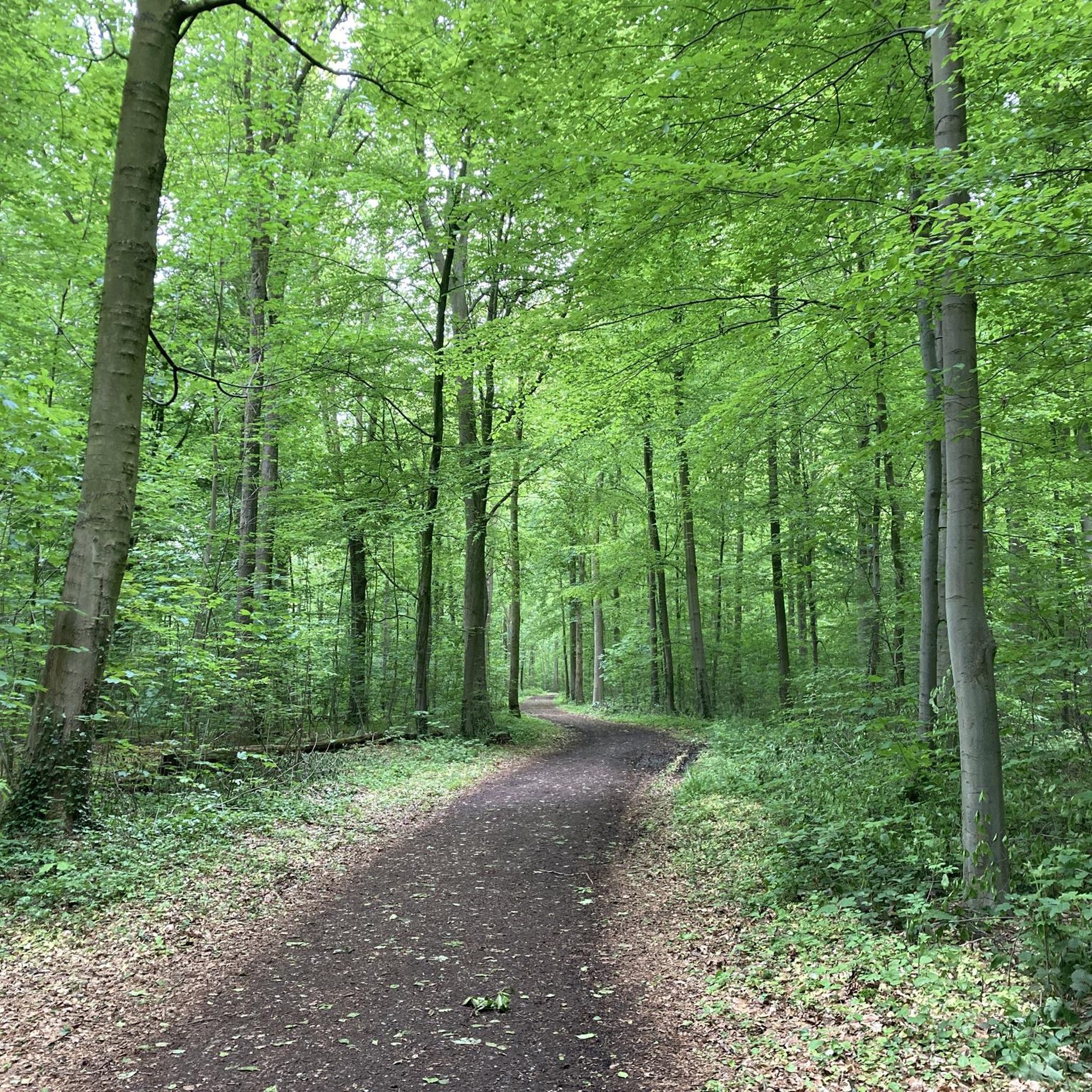
Gravel biking in Staatsforst Rheurdt/Littard offers a network of trails through varied landscapes. The region is characterized by extensive woodlands, agricultural fields, and gentle terrain, providing suitable conditions for gravel cycling. These routes often follow forest paths and quiet country roads, with minimal elevation changes.
Best gravel bike trails in Staatsforst Rheurdt/Littard
- The most popular gravel bike trail is Summit Cross Pattberg Spoil Heap – Waldsee Baerl loop from Rheurdt, a 28.1 miles (45.2 km) trail that takes about…
Last updated: July 17, 2026
16
riders
Hard gravel ride. Good fitness required. You may need to push your bike for some segments of this route.
4.7
(7)
10
riders
25.0km
01:24
130m
130m
Easy gravel ride. Great for any fitness level. Mostly paved surfaces. Suitable for all skill levels.

Sign up for free
4.3
(3)
8
riders
68.4km
03:37
260m
260m
Moderate gravel ride. Good fitness required. Mostly paved surfaces. Suitable for all skill levels.
3.8
(5)
11
riders
Moderate gravel ride. Good fitness required. Mostly paved surfaces. Suitable for all skill levels.
4.6
(7)
6
riders
Easy gravel ride. Great for any fitness level. Mostly paved surfaces. Suitable for all skill levels.
Get access to more routes and recommendations from other explorers.
Sign up for free
Already have an account?
Our route recommendations are based on thousands of hikes, rides, and runs completed by other people on komoot.
Start today with a free account
Your next adventure awaits.
Login or Signup
Tips from the Community

The ascent to the Geleucht is worth it. You will be rewarded with a great view.
2
0

The 3.4 km long and 6 m high city wall was built starting in 105 AD and featured a parapet walk or earthworks on its inner side. The top of the wall was crowned with battlements, and a double ditch ran along three sides of the fortifications, while only a simple V-shaped ditch existed on the harbor side. Nevertheless, the wall was primarily intended to demonstrate Roman power. The fortifications had a total of 22 towers and three impressive main gates with double passageways on the main roads: the North Gate (also known as the Burginatum Gate), the Maastor Gate, and the Vetera Gate. Since there was no main gate on the Rhine side, some of the towers, such as the Harbor Gate, the Molentor Gate, and the Small Harbor Gate, had simple passageways. Today, the eastern corner of the Roman city wall near the amphitheater, the North Gate, and the nine towers between the North Gate and the main entrance to the city center have been partially reconstructed. To create a continuous facade, the remaining spaces between the towers are planted with hedges. The city wall is to be gradually reconstructed and sections of it are now open to the public. The North Gate, also known as the Burginatium Gate, was the main northern gate leading towards the Roman fort of Burginatium (in Altkalkar). It was reconstructed to its full height. Like the other two main gates, it had a double passageway, was flanked by gate towers, and consisted of three stories. The gate is now open to the public and houses the exhibition "Death & Burial." The harbor of Roman Xanten was located at the Harbor Gate (or East Gate). This gate had a single passageway and is now open to the public. In front of the Molen Gate, which also had a single passageway, the Rhine harbor mole was located in Roman times. However, the Rhine silted up around 300 BC, necessitating the construction of a new mole further north. The gate tower is now open to the public and serves as the entrance to the Harbor Temple park. Source: roemer-tour.de/roemerwegen/deutschland/northrhein-westfalen/xanten-colonia-ulpia-traiana/stadtmauer-tore-xanten
2
0

🌿 Kamp Abbey and its gardens are the "green jewel" of Kamp-Lintfort. The famous terraced garden, often called the "Sanssouci of the Lower Rhine," attracts visitors from all over the region. A stroll through the gardens, followed by a slice of cake in the donation-based café, is the perfect combination of culture and relaxation! 🌿🍰⛪
1
0

The end of the tour from Schaephuysen to Aldekerk is missing. Approx. 4 km
0
0

This café and beer garden is highly recommended. Delicious, hearty food, just as you'd expect from a farm. You can sit in the rustic dining room or in one of the two garden areas.
16
0

What was that, "nothing could be heard except the rustling of leaves in the wind and the crunch of tires on the fine gravel." I love that sound...
8
0
The animals’ horns are quite powerful.
9
0

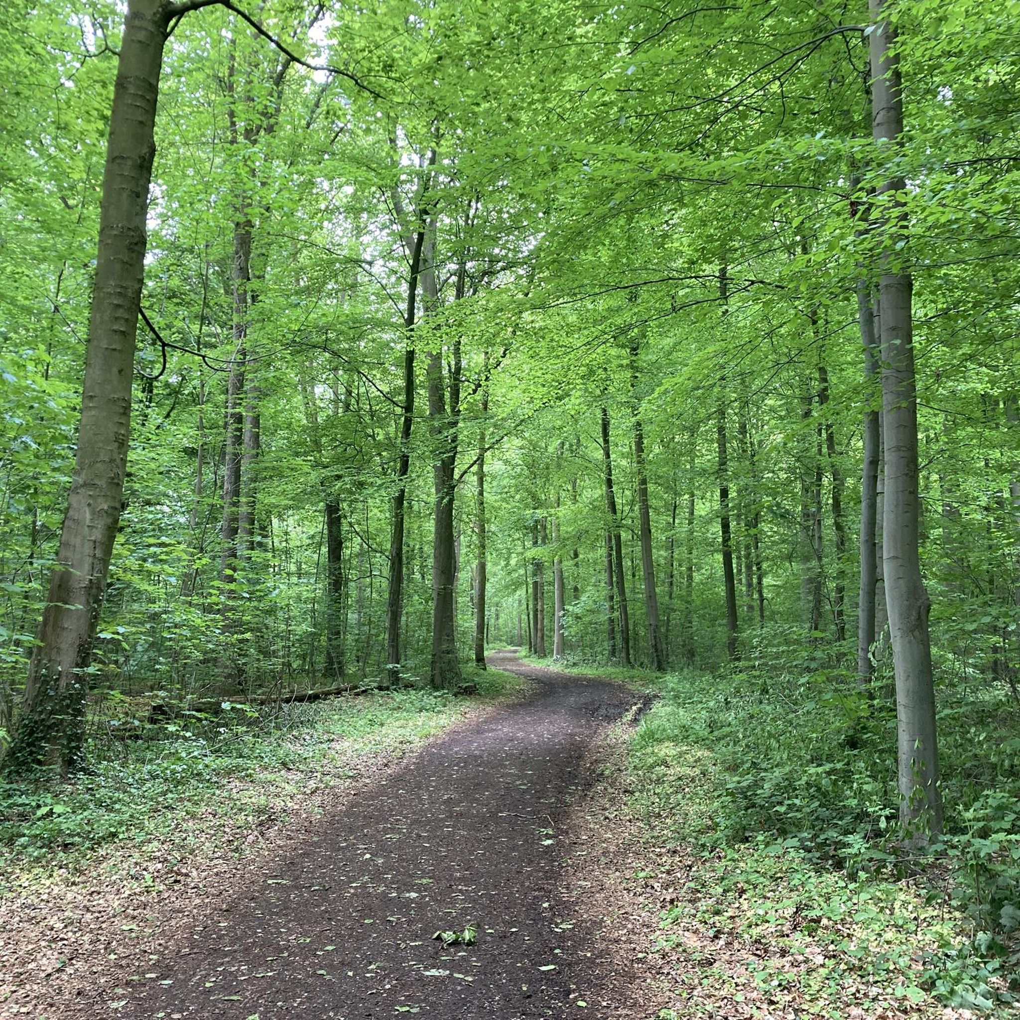
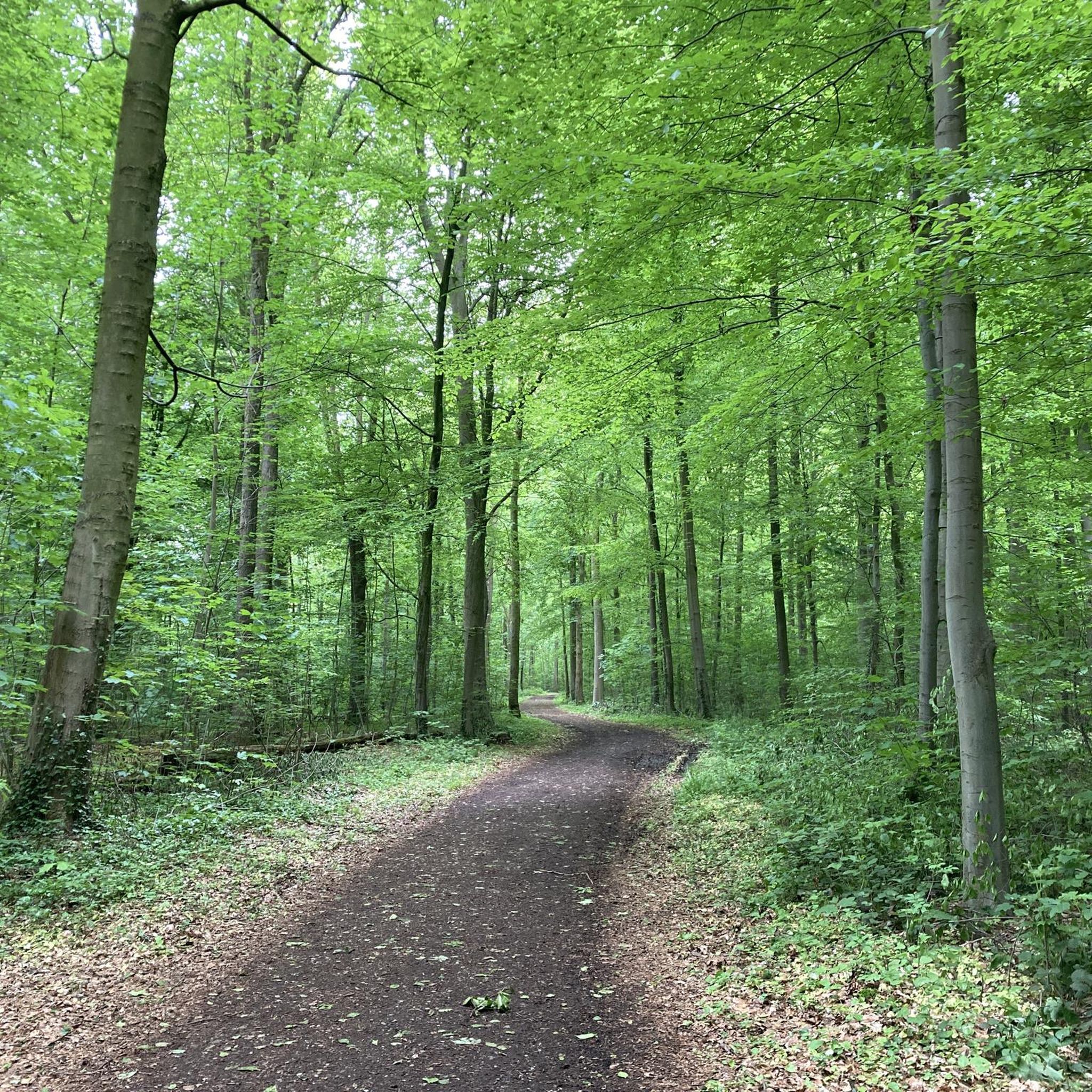
Deep and pleasant forest
1
0
Frequently Asked Questions
How many gravel bike trails are there in Staatsforst Rheurdt/Littard?
Staatsforst Rheurdt/Littard offers a comprehensive network of over 70 gravel bike trails. These routes cater to various skill levels, with a good mix of easy, moderate, and some more difficult options.
What is the best season for gravel biking in Staatsforst Rheurdt/Littard?
The region is generally suitable for gravel biking year-round due to its gentle terrain. Spring and autumn offer pleasant temperatures and vibrant scenery. Summer provides longer daylight hours, while winter rides are possible, though some paths might be muddier or require more robust tires depending on recent weather conditions.
Are there easy gravel bike trails suitable for beginners in Staatsforst Rheurdt/Littard?
Yes, Staatsforst Rheurdt/Littard has over 30 easy gravel bike trails perfect for beginners or those looking for a relaxed ride. An excellent option is the Lithardtsche Kuhlen – Beautiful cycling and hiking trail loop from Neukirchen-Vluyn, which is 15.5 miles (25.0 km) long and explores scenic natural areas on quiet paths.
Are there advanced or challenging gravel trails in Staatsforst Rheurdt/Littard?
While the region is known for its gentle terrain, there are a few routes that offer a more challenging experience, with 6 trails rated as difficult. One such route is the Summit Cross Pattberg Spoil Heap – Waldsee Baerl loop from Rheurdt, a 28.1 miles (45.2 km) trail featuring varied terrain and some elevation changes.
Where can I find parking for gravel biking in Staatsforst Rheurdt/Littard?
Many gravel bike routes in Staatsforst Rheurdt/Littard start from towns like Rheurdt or Neukirchen-Vluyn, where public parking options are generally available. Specific starting points for tours often have designated parking areas, which are usually indicated in the tour descriptions on komoot.
Are there circular gravel bike routes available in Staatsforst Rheurdt/Littard?
Yes, many of the gravel bike trails in Staatsforst Rheurdt/Littard are designed as loops, allowing you to start and end at the same point. For example, the Highland Cattle at Niederrhein – Forest Path in Kerkener Bruch loop from Neukirchen-Vluyn offers a 27.7 miles (44.6 km) circular ride through forests and open landscapes.
Can I find less crowded gravel bike trails near Rheurdt?
To find less crowded trails, consider exploring routes that venture deeper into the Staatsforst or those that are slightly off the main popular paths. The region's extensive network means you can often find quieter sections, especially during weekdays or outside of peak hours. Look for tours starting from smaller villages surrounding the main forest areas.
Are there any viewpoints along the gravel trails in Staatsforst Rheurdt/Littard?
While Staatsforst Rheurdt/Littard is characterized by gentle landscapes, some routes offer elevated sections or clearings that provide pleasant views over the surrounding agricultural fields and woodlands. The Summit Cross Pattberg Spoil Heap – Waldsee Baerl loop from Rheurdt, for instance, includes the Pattberg Spoil Heap, which offers panoramic vistas.
Are there any cafe stops or places to eat along the gravel trails?
Yes, several routes pass through or near villages and towns where you can find cafes and restaurants. For example, the Samannshof Lakeside Restaurant & Beer Garden is a popular spot near the Littardkuhlen Ponds, offering a pleasant stop for refreshments.
What attractions or points of interest can I see along the gravel bike trails?
The gravel trails in Staatsforst Rheurdt/Littard often lead past natural and cultural highlights. You can explore the serene Littardkuhlen Ponds, discover the Lakes and Forests of Staatsforst Rheurdt/Littard, or even spot the Highland Cattle at Niederrhein. The Weir on the Littardsche Kendel is another interesting man-made monument.
Are the gravel bike trails in Staatsforst Rheurdt/Littard family-friendly?
Many of the easy and moderate gravel bike trails in Staatsforst Rheurdt/Littard are suitable for families, especially those with older children. The minimal elevation changes and well-maintained forest paths make for a pleasant and safe riding experience. Always check the specific route's difficulty and length to ensure it matches your family's capabilities.
What do other gravel bikers enjoy most about gravel biking in Staatsforst Rheurdt/Littard?
The area is highly rated by the komoot community, with an average score of 4.6 stars from over 70 reviews. Reviewers often praise the diverse network of trails, the peaceful forest paths, and the gentle, rolling landscapes that make for enjoyable and accessible gravel biking experiences.
What are the typical conditions of the gravel trails in Staatsforst Rheurdt/Littard?
The gravel trails primarily consist of well-maintained forest paths, quiet country roads, and agricultural routes. While generally smooth, some sections may feature loose gravel, compacted dirt, or occasional muddy patches, especially after rain. The terrain is mostly flat with only minor elevation changes, making it accessible for various skill levels.
Most popular routes in Staatsforst Rheurdt/Littard
Most popular attractions in Staatsforst Rheurdt/Littard

Get inspired with the komoot mobile app


Explore more
Browse the best Gravel rides in other regions.
