The best gravel rides in Zoerselbos En Hooidonkse Beemden
4.3
(96)
1,908
riders
70
rides
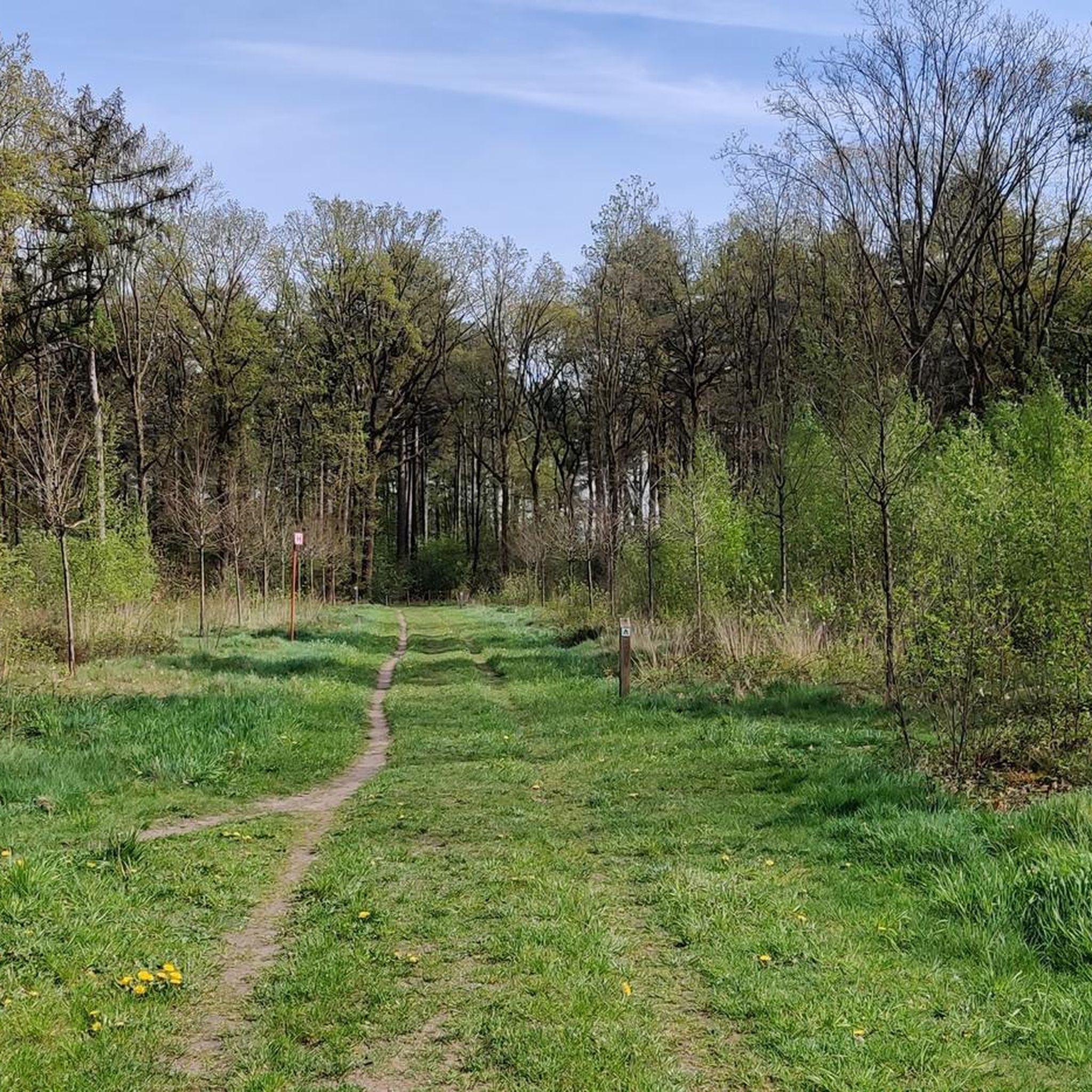
Gravel biking in Zoerselbos En Hooidonkse Beemden offers diverse landscapes, combining ancient oak forests, conifer woods, and open marshy meadows. The terrain features a mix of paved and unpaved paths, providing varied surfaces for gravel routes. The region is characterized by a unique "beemd" landscape, featuring grasslands bordered by wood edges, marsh forests, and soggy grasslands. Minimal elevation changes across the region contribute to its accessibility for various fitness levels.
Best gravel bike trails in Zoerselbos En Hooidonkse Beemden
- The…
Last updated: August 18, 2026
4.6
(5)
50
riders
Moderate gravel ride. Good fitness required. Mostly paved surfaces. Suitable for all skill levels.
57
riders
Moderate gravel ride. Good fitness required. Mostly paved surfaces. Suitable for all skill levels.

Sign up for free
4.6
(5)
167
riders
75.9km
04:08
110m
110m
Moderate gravel ride. Good fitness required. Mostly paved surfaces. Suitable for all skill levels.
5.0
(1)
9
riders
26.2km
01:23
30m
40m
Easy gravel ride. Great for any fitness level. Mostly paved surfaces. Suitable for all skill levels.
4.0
(2)
74
riders
80.3km
04:38
110m
110m
Hard gravel ride. Good fitness required. You may need to push your bike for some segments of this route.
Get access to more routes and recommendations from other explorers.
Sign up for free
Already have an account?
Our route recommendations are based on thousands of hikes, rides, and runs completed by other people on komoot.
Start today with a free account
Your next adventure awaits.
Login or Signup
Popular around Zoerselbos En Hooidonkse Beemden

Other adventures in Zoerselbos En Hooidonkse Beemden

Tips from the Community

History The chapel was erected in 1626. At that time, the region was plagued by a pest epidemic. Legend has it that about 60 inhabitants of Oostmalle fled the village with the disease to the heath at Zalfen. Adriaan Mattheeusen, an inhabitant of Zalfen, who lost some of his children to the epidemic, was obliged to bury them in the heath and erected a chapel in their memory. Soon, the chapel served for funeral services, and the dead were buried in the adjacent cemetery. The chapel soon became an attraction for pilgrims. For this reason, it was enlarged in 1726 to its current appearance (see upper part in the side gable dated by means of sintered stone). The chapel is depicted on Ferraris' cabinet map (1770-1778) on a triangular plot of heath. A loop of tall trees surrounds the chapel. On Vandermaelen's map (1846-1854), the chapel is located south of the Salphen road, amidst a triangular forest plot. Description The Sint-Antonius chapel of Salphen is located south of the Salphen road, an old avenue of predominantly tall English oaks (Quercus robur), and is surrounded by tall trees (mainly Scots pine, Pinus sylvestris). It is an oriented brick chapel with a three-sided closed west facade and a lower rectangular choir under slate gable roofs (ridge parallel to the street) with a bell tower. On the east side, there are two tuit-gables on shoulder pieces with crenellations. On the north side, there are rectangular windows and a basket-arch door and a basket-arch door. The plastered and painted interior has a wooden frame with a tie beam. The furniture includes an altar from the 19th century and a painted wooden statue of Saint Anthony Abbot (late 15th or early 16th century).
0
0

Beautiful avenue with a cycle and walking path; the avenue leads towards the abbey.
0
0
Path through the forest towards the abbey and brewery of Westmalle.
0
0
Beautiful walking and cycling path through an avenue.
0
0

The St. Anthony's Chapel is a chapel in the hamlet of Zalfen, located near Salphen, which is part of the Antwerp municipality of Malle. Nearby Oostmalle was hit by a plague epidemic around 1625. Around 60 sick people reportedly fled to the heath. A certain Adriaan Mattheeusen, who lost three children to the disease, had to bury them on the heath and built a chapel for this purpose. This chapel was soon also used for funeral services, and the deceased were buried in a nearby cemetery. The chapel attracted pilgrims and was therefore expanded in 1726. https://nl.wikipedia.org/wiki/Sint-Antoniuskapel_(Zalfen)
0
0

Pleasant cycling on very good cycle paths.
0
0

The Visbeek Valley is a nature reserve in the Antwerp Kempen region (Lille and Beerse) that is unique in Europe for its intact landscape and small scale. The area is managed by Natuurpunt and is known for its diverse mix of fens, heathland, forests, and meadows.
6
0

pleasant picnic area with brand new oak benches, both under cover and outdoors.
0
0
Frequently Asked Questions
How many gravel bike trails are available in Zoerselbos En Hooidonkse Beemden?
There are over 90 gravel bike routes in Zoerselbos En Hooidonkse Beemden. These routes cater to various skill levels, with a good mix of easy, moderate, and more challenging options to explore the diverse landscapes.
What kind of terrain can I expect on the gravel bike trails?
The region offers a varied terrain, characteristic of gravel biking. You'll find a mix of paved and unpaved paths, including segments through ancient oak forests, conifer woods, grasslands, heathland, and marshy meadows. Some routes might feature unpaved sections that require good fitness, and occasionally, you might even need to push your bike through certain parts, adding to the adventure.
Are there any family-friendly gravel bike routes in Zoerselbos En Hooidonkse Beemden?
Yes, there are several routes suitable for families and beginners. For an easier ride, consider the Zoerselbos – Gravel Track Near the Airport loop from Sint-Antonius, which is classified as easy and covers about 26 kilometers, making it a great option for a relaxed outing.
What historical landmarks or natural features can I see along the gravel routes?
The area is rich in history and natural beauty. You can cycle past the historic Zoerselhof Castle, originally an abbot's court. The Het Boshuisje (De Loteling), a former forester's house with literary fame, is also a notable spot. Additionally, you'll encounter diverse natural features like the Tappel brook, historical fish ponds, and the unique 'vloeibeemden' (tidal streams) system in Hooidonkse Beemden.
Are there any circular gravel bike routes available?
Many of the gravel routes in Zoerselbos En Hooidonkse Beemden are circular, allowing you to start and end at the same point. An example is the Zoerselbos Gravel Trail – Zoerselhof Castle loop from Zoersel, which takes you through ancient oak forests and past historical landmarks.
What is the best time of year to go gravel biking in this region?
The diverse landscapes of Zoerselbos En Hooidonkse Beemden can be enjoyed throughout much of the year. Spring and autumn offer pleasant temperatures and beautiful scenery with changing foliage. While some paths might be wet in winter, the varied terrain ensures there's usually something to explore, though conditions can be more challenging.
Where can I find parking for gravel biking in Zoerselbos En Hooidonkse Beemden?
Parking is generally available at various access points to the nature reserves and forests. For example, routes often start from locations like Natuurreservaat Zoerselbos or the town of Zoersel, where you can typically find designated parking areas suitable for accessing the trails.
Are there any cafes or places to stop for refreshments along the routes?
Yes, you can find places to stop for refreshments. The Het Boshuisje (De Loteling), a historic former forester's house, now functions as a visitor center and can be a good spot for a break. Additionally, towns like Zoersel and nearby villages offer cafes and pubs where you can refuel.
What do other gravel bikers enjoy most about the trails here?
The area is highly rated by the komoot community, with an average score of 4.4 stars. Reviewers often praise the diverse landscapes, which combine ancient oak forests, open marshy meadows, and historical agricultural systems. The mix of paved and unpaved paths and the opportunity to explore historical landmarks are also frequently highlighted.
Can I reach the gravel trails using public transport?
While specific public transport connections directly to trailheads might vary, the region is accessible by public transport to nearby towns like Zoersel. From there, you might need to cycle a short distance to reach the main gravel biking areas. It's advisable to check local bus schedules for the most up-to-date information.
What is the longest gravel bike route in the area?
One of the longer routes available is the Gravel Track Near the Airport – Wortel-Kolonie loop from Zoersel, which spans approximately 75 kilometers. This moderate path allows you to explore varied ecosystems and open spaces, reflecting the region's historical land management over a significant distance.
Are there any challenging gravel routes for experienced riders?
Yes, while many routes are moderate, the region offers segments that can be challenging, especially those with unpaved sections or varied surfaces. The longer routes, such as the Warandeplas – Gravel Track Near the Airport loop from Pulle (over 70 km), can provide a good test of endurance and skill for experienced gravel bikers.
Most popular routes in Zoerselbos En Hooidonkse Beemden
Most popular attractions in Zoerselbos En Hooidonkse Beemden

Get inspired with the komoot mobile app


Explore more
Browse the best Gravel rides in other regions.
