The best gravel rides in Vallei Van De Kindernouwbeek
4.4
(103)
2,850
riders
137
rides
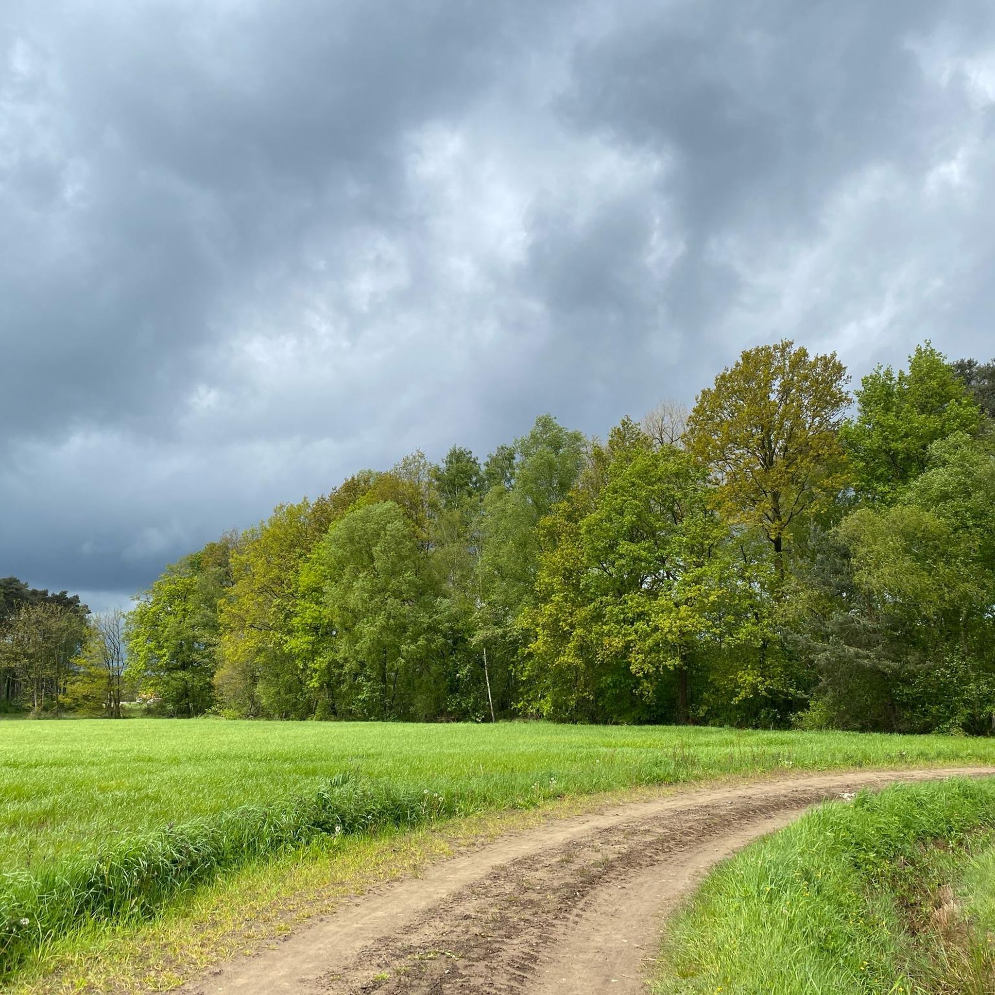
Gravel biking in Vallei Van De Kindernouwbeek offers a network of routes through varied terrain. The region is characterized by its valley landscape, featuring a mix of open areas, water features, and natural reserves. Riders can expect diverse surfaces, including compacted gravel paths and unpaved sections, suitable for gravel bikes. The elevation changes are generally gentle, making it accessible for various skill levels.
Best gravel bike trails in Vallei Van De Kindernouwbeek
- The most popular gravel bike trail is Turnhout…
Last updated: July 8, 2026
2.0
(1)
4
riders
38.7km
02:11
50m
50m
Moderate gravel ride. Good fitness required. Mostly paved surfaces. Suitable for all skill levels.
26
riders
86.1km
05:13
150m
150m
Hard gravel ride. Very good fitness required. You may need to push your bike for some segments of this route.

Sign up for free
8
riders
42.0km
02:44
60m
60m
Moderate gravel ride. Good fitness required. Mostly paved surfaces. Suitable for all skill levels.
4
riders
56.2km
03:01
80m
80m
Moderate gravel ride. Good fitness required. Mostly paved surfaces. Suitable for all skill levels.
4.0
(1)
13
riders
66.8km
03:45
100m
100m
Moderate gravel ride. Good fitness required. Mostly paved surfaces. Suitable for all skill levels.
Get access to more routes and recommendations from other explorers.
Sign up for free
Already have an account?
Our route recommendations are based on thousands of hikes, rides, and runs completed by other people on komoot.
Start today with a free account
Your next adventure awaits.
Login or Signup
Tips from the Community

The Grotenhoutbos, also known as the Gierlese Bos, is a forest in Flanders, southwest of Turnhout, on the border of the municipalities of Vosselaar and Gierle. It covers an area of 375 hectares and is part of the Natura 2000 area "Forest and heathland areas east of Antwerp." https://nl.wikipedia.org/wiki/Grotenhoutbos
0
0

good gravelride, a few km's, double-track, in the mid of woods and fields, away from habitation, skimming along an old NATO-airfield (never used, cause sand from nearby dunes could be blow up the runways an damage motors, which is a no-go for a military airfield). To gravelride can be extended by several km's to almost the village of Oostmalle by taking the Salphensebaan once arriving in the smal hamlet of Salphen.
0
0

Nice view of the Turnhout skyline, interesting buildings :)
2
0

Generations of castle lords and the village community have cared for the magnificent heritage we have today. We must cherish this legacy with care. Everyone has a responsibility in this regard: the government, the owners, and certainly also the visitors. We all want to safeguard this for future generations. VORSELAAR: Proposal to protect the castle "de Borrekens", the rectory, the immediate surroundings of the castle, and the linden avenue as a village landmark. The castle was built in the thirteenth century as a military fortification for the Duke of Brabant, granted as a fief to the Lord Van Rotselaer. The latter gave the fortification, which had the character of a moated castle, the ground plan that can still largely be seen today. Little is known about its evolution since the thirteenth century. The castle is depicted in a print by Ertinger in the second half of the seventeenth century and published by Jacques Le Roy. This shows that the current castle's core still largely reflects this condition. The building's military character was lost in the eighteenth century, and it was converted into a "house of pleasure." This involved the demolition of several surrounding walls and defensive towers, and the moat separating the forecourt from the castle was filled in. Simultaneously or shortly before, several embellishments were carried out on the castle, with J.P. van Baurscheit as the architect. The buildings in the forecourt were constructed during the same period. In the 1850s and 1860s, restoration work was carried out in keeping with the fashion of the time. Several dormers, stepped gables, fireplaces, turrets, and battlements were added in the Neo-Gothic style. The interior was also altered during this period and in the same style. Although this renovation significantly altered the castle's appearance, the renovation itself is remarkable as a testament to the Neo-Gothic style that emerged in our region around 1850.
0
0

Fantastic singletrack to truly enjoy. Here you can see what to expect from the first section. The second section to the Achtzaligheden (Eight Beatitudes) is not included. This is the first section, approximately 1km: https://youtu.be/VQlDyiAYak0
0
0

An idyllic spot with a view of the pond
6
0

This tree was once magnificent. Now it seems to be dying... 😟
1
0

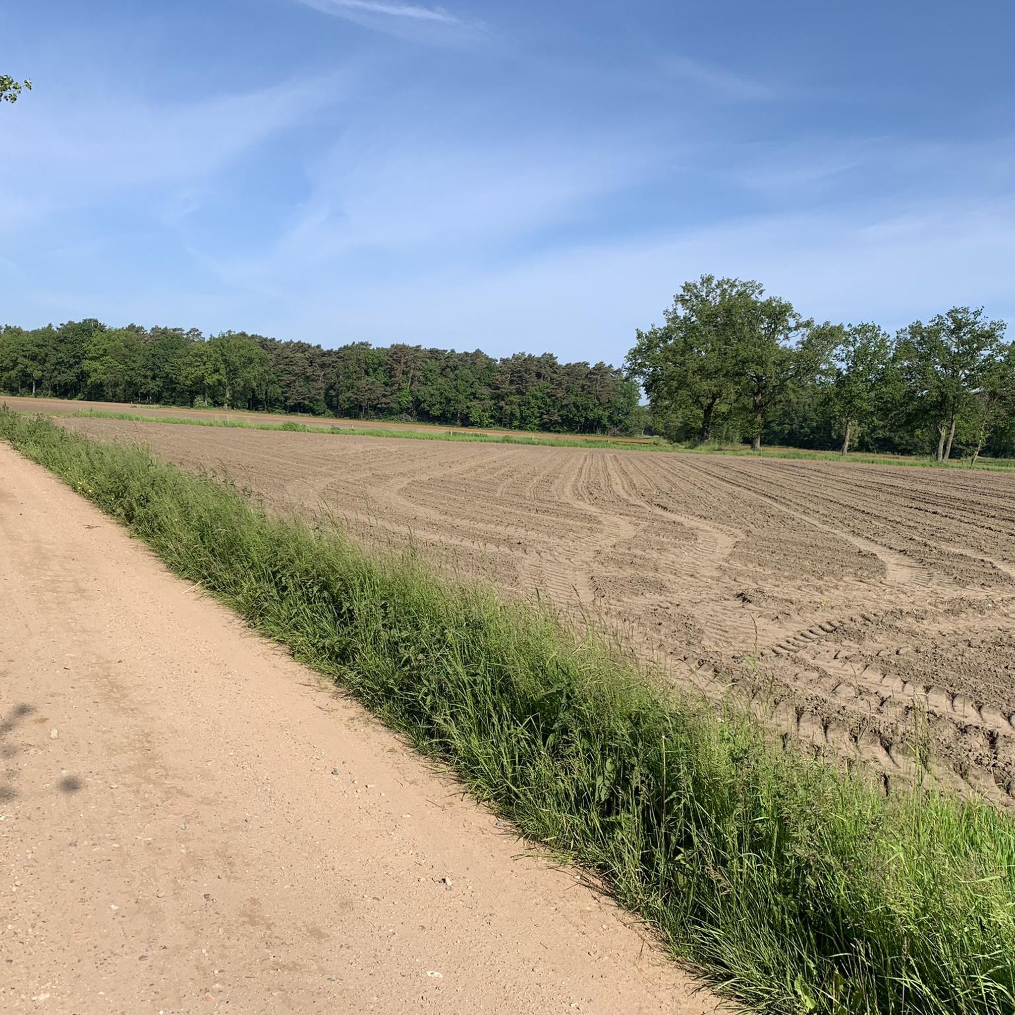
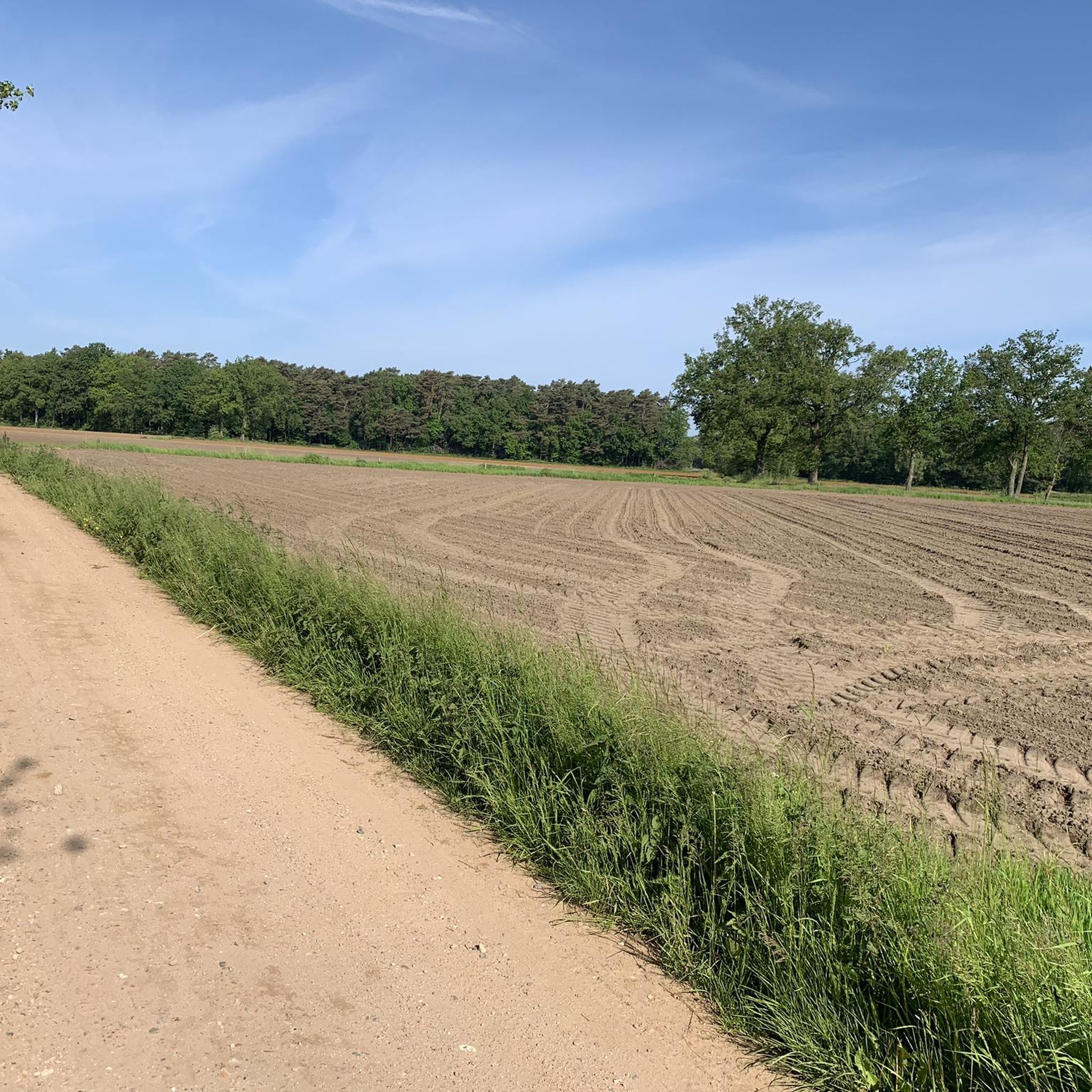
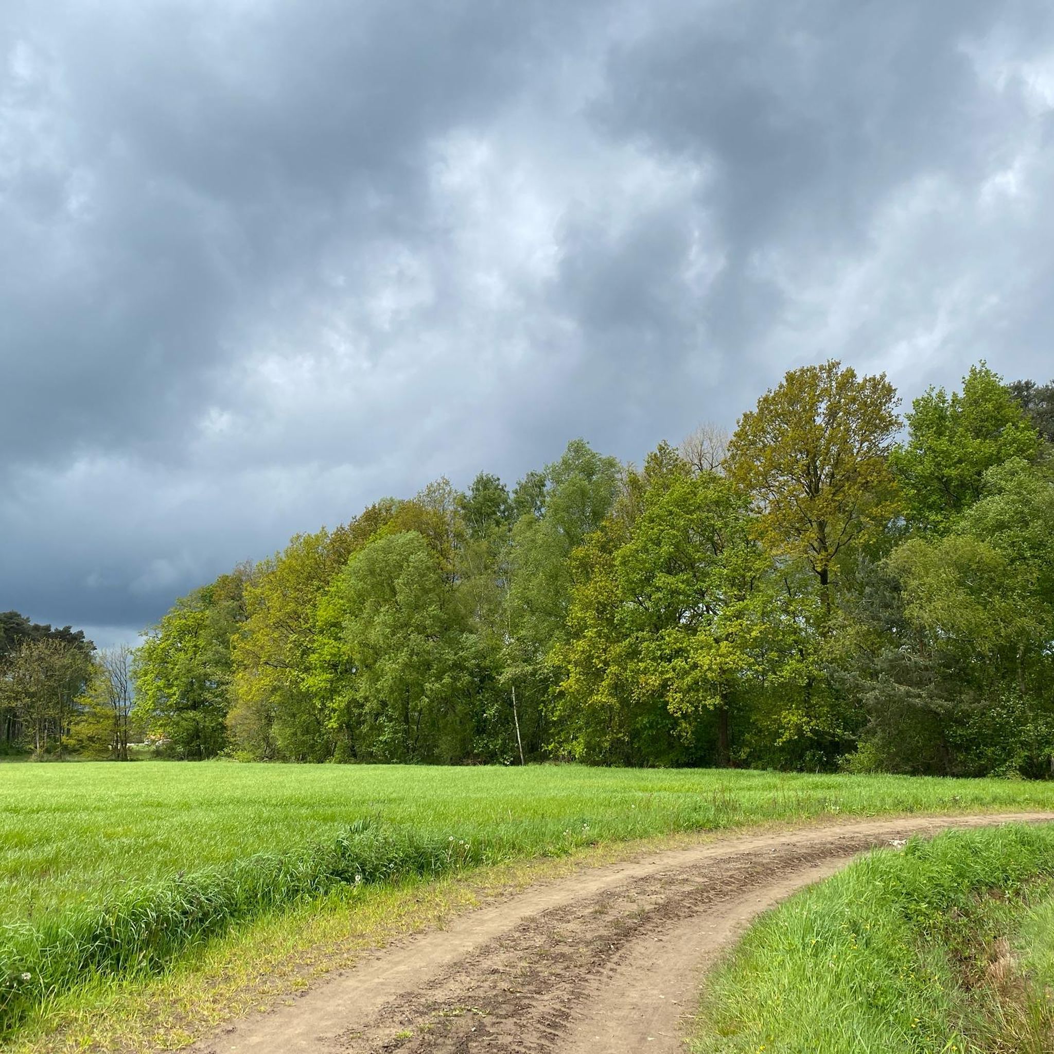
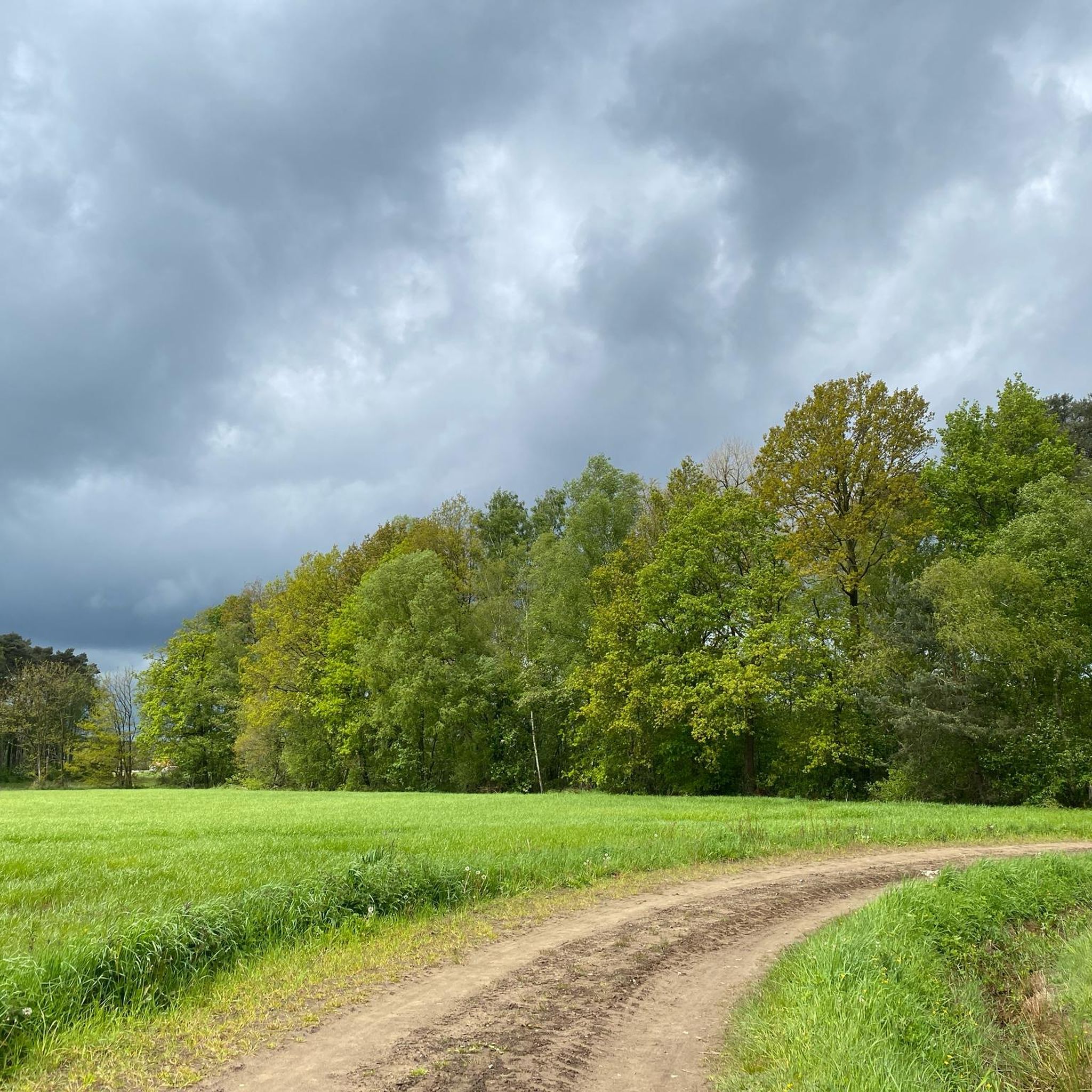
Visbeekvallei - Kindernouw is a typical Kempen stream valley, which consists of a series of marshes, forests, heathland, bog myrtle thickets, rough areas and grasslands.
5
0
Frequently Asked Questions
How many gravel bike trails are there in Vallei Van De Kindernouwbeek?
Vallei Van De Kindernouwbeek offers a wide selection of gravel bike trails, with over 150 routes available. These range from easy to difficult, ensuring options for all experience levels.
Are there easy gravel bike trails suitable for beginners in Vallei Van De Kindernouwbeek?
Yes, beginners will find plenty of suitable options. There are 25 easy gravel bike trails in the region. A good starting point is the Heirbaan Picnic Area – Lovenhoek Nature Reserve loop from Lille, which is an easy 21.7 km route.
What kind of terrain can I expect on gravel bike trails in Vallei Van De Kindernouwbeek?
The region is characterized by its valley landscape, offering a mix of open areas, natural reserves, and water features. You'll encounter diverse surfaces, including compacted gravel paths and unpaved sections, with generally gentle elevation changes.
Are there any circular gravel bike routes in Vallei Van De Kindernouwbeek?
Many of the gravel bike routes in Vallei Van De Kindernouwbeek are designed as loops. For example, the popular Turnhout Marina – Grotenhoutbos Lake loop from Lille is a 38.7 km circular trail that combines waterside paths and forested sections.
What can I see along the gravel bike trails in Vallei Van De Kindernouwbeek?
The trails often pass through scenic natural areas. You can explore the Kindernouw itself, discover beautiful sandy paths through meadows, and enjoy the tranquil Ponds in the Kindernouw. Many routes also feature water bodies like lakes and marinas.
Are there any longer gravel bike routes for more advanced riders?
Yes, for those seeking a longer challenge, Vallei Van De Kindernouwbeek offers several moderate to difficult routes. Consider the Grotenhout Pond – Merksplas Colony loop from Lille, a 67 km route that takes you through varied landscapes.
What do other gravel bikers enjoy most about the trails in Vallei Van De Kindernouwbeek?
The area is highly rated by the komoot community, with an average score of 4.29 stars from over 100 reviews. Riders often praise the varied terrain, the network of gravel tracks, and the peaceful natural reserves and water features.
Are there family-friendly gravel biking options in the region?
Given the gentle elevation changes and the presence of easy routes, many trails are suitable for families. The region's natural reserves and water features provide pleasant scenery for a family outing. Look for routes marked as 'easy' for the most family-friendly experience.
Where can I find parking for gravel biking in Vallei Van De Kindernouwbeek?
While specific parking details vary by trailhead, many routes start from towns or accessible points where public parking is available. For routes originating near urban centers like Lille or Antwerp, you can typically find parking facilities. Always check the specific tour details on komoot for recommended starting points and parking information.
What is the typical length and duration of gravel bike routes in Vallei Van De Kindernouwbeek?
Route lengths vary significantly. You can find shorter rides, like the 21.7 km Heirbaan Picnic Area – Lovenhoek Nature Reserve loop from Lille, which takes around 1 hour 30 minutes. Longer routes, such as the 55.7 km Gravel Track Near the Airport – Fort Oelegem loop from Antwerp, can take over 3 hours to complete.
Are there any routes that pass by historical sites or landmarks?
Yes, some routes offer glimpses of local history. For instance, the Gravel Track Near the Airport – Fort Oelegem loop from Antwerp passes by a historic fort, adding a cultural element to your ride through open landscapes.
Most popular routes in Vallei Van De Kindernouwbeek
Most popular attractions in Vallei Van De Kindernouwbeek

Get inspired with the komoot mobile app


Explore more
Browse the best Gravel rides in other regions.
