The best gravel rides in Lünsholz
4.2
(21)
91
riders
8
rides
Gravel biking in Lünsholz features a network of trails through varied landscapes within Germany's Lower Saxony. The region is characterized by expansive heathlands, such as the Misselhorner Heath, and includes routes that follow riverbanks and pass by tranquil ponds. It is integrated into the Lüßwald, an extensive forest with ancient trees. Elevation changes are generally gentle, with the highest points qualifying as hills rather than mountains.
Best gravel bike trails in Lünsholz
- The most popular gravel bike trail is Faßberg…
Last updated: July 3, 2026
4.2
(9)
50
riders
46.3km
02:38
180m
180m
Hard gravel ride. Good fitness required. You may need to push your bike for some segments of this route.
7
riders
31.2km
02:00
120m
120m
Easy gravel ride. Great for any fitness level. Mostly paved surfaces. Suitable for all skill levels.

Sign up for free
3.0
(3)
7
riders
60.4km
03:36
200m
200m
Hard gravel ride. Good fitness required. You may need to push your bike for some segments of this route.
3.8
(4)
10
riders
23.2km
01:34
110m
110m
Easy gravel ride. Great for any fitness level. Mostly paved surfaces. Suitable for all skill levels.
5.0
(2)
8
riders
Moderate gravel ride. Good fitness required. Mostly paved surfaces. Suitable for all skill levels.
Get access to more routes and recommendations from other explorers.
Sign up for free
Already have an account?
Our route recommendations are based on thousands of hikes, rides, and runs completed by other people on komoot.
Start today with a free account
Your next adventure awaits.
Login or Signup
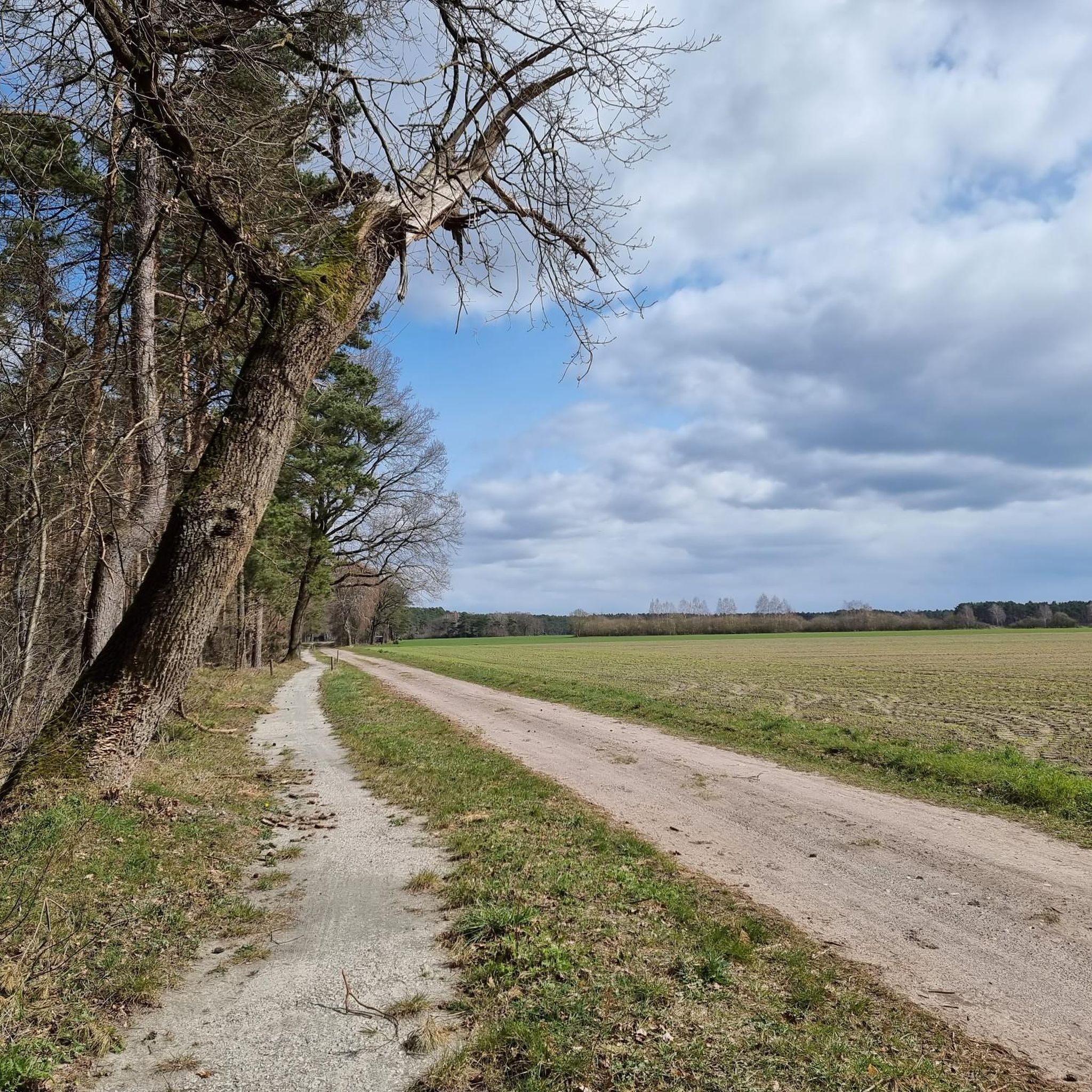
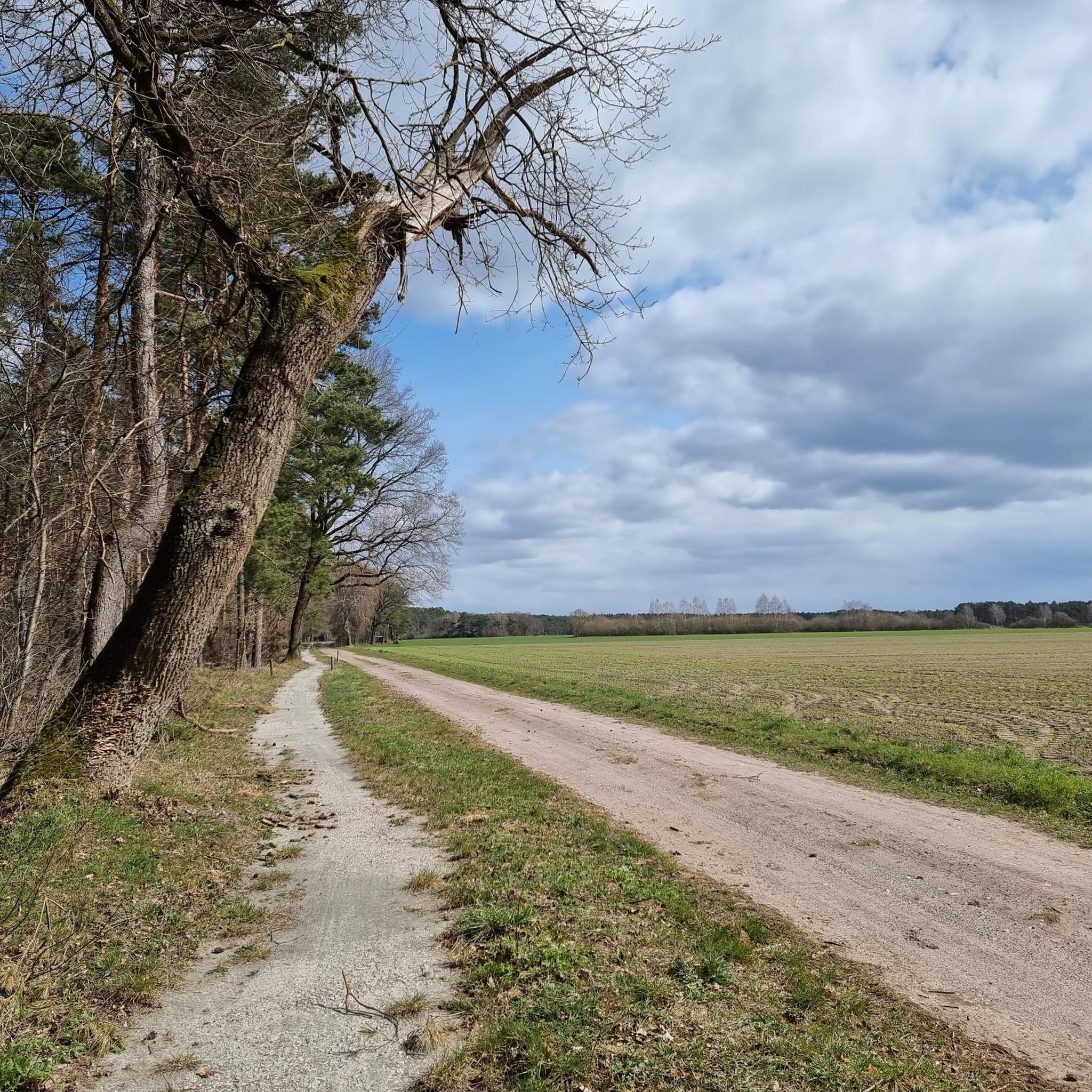
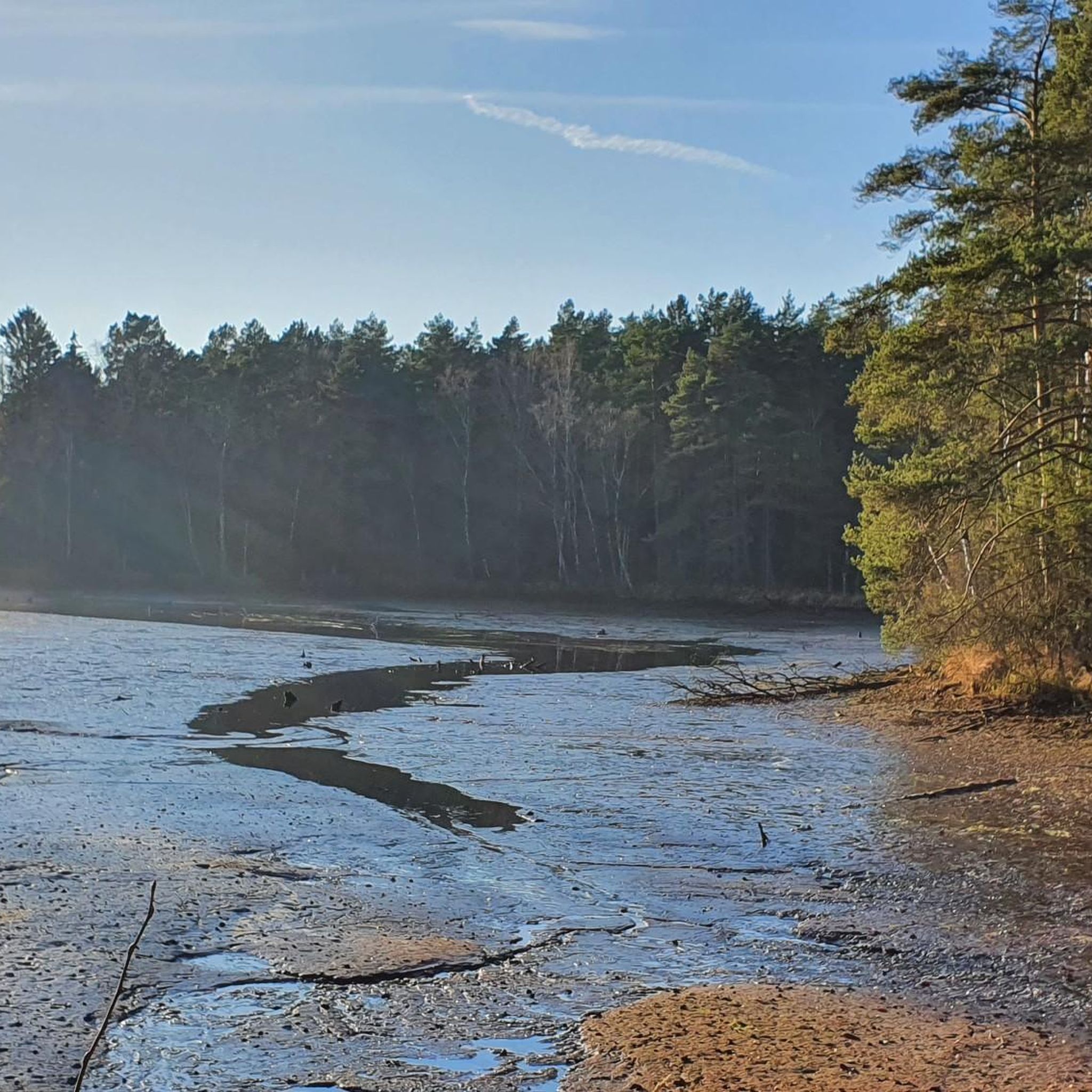
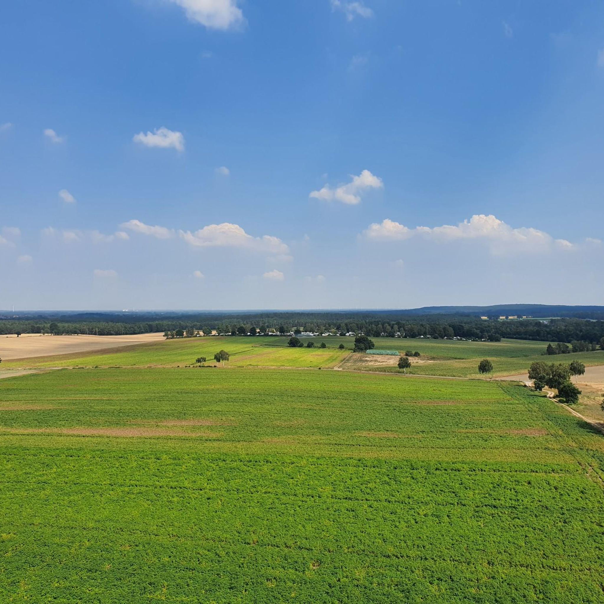

Tips from the Community

You can book forest and heath yoga at: https://www.lueneburger-heide.de/natur/landschaftsfuehrungen/0100315303/wald-und-heideyoga.html#/
0
0

Small heathland area near Lutterloh... right at the beginning there are several erratic boulders... an information board locates these in the Ice Age and provides further details
2
0
Beautiful heathland surrounded by magnificent forest... the path leads through this idyllic landscape with gentle ups and downs... especially during the heather bloom, a force of nature
2
0

The Misselhorner Heide is one of the most typical heath landscapes in the Südheide. Characteristic of this area are the wide heathlands, juniper bushes, and birches that shape the landscape. The heath is particularly impressive during the heather bloom from August to September, when the areas transform into a sea of purple colors. Compared to the better-known heath areas near Wilsede, the Misselhorner Heide is considered quieter and less visited. The German landscape painter Arnold Lyongrün was also inspired by this landscape and captured it in numerous heath paintings, which made the area known beyond the region.
2
0

The Lüßwald car park is the central gateway to one of North Germany's most impressive forest areas – the so-called "primeval forest in the Lüß". It is the ideal starting point for hikes through the Südheide Nature Park.
0
0
The paved cycle path along State Road 218 near Unterlüß leads through the Südheide Nature Park and offers a pleasant route for cyclists. Along the way, cyclists can enjoy the tranquility of the Lüßwald forest, a significant nature reserve with ancient beech and oak stands. The paved route allows for comfortable cycling amidst nature.
0
0
The Lüßwald car park is located about one kilometer southeast of Unterlüß on the L 280 country road towards Weyhausen and is a popular starting point for bike tours through the Lüßwald forest in the Southern Heath. It is well-equipped with seating areas, bike racks, and information boards. Various circular trails start from here, including the approximately 24-kilometer-long "Forest – as far as the eye can see" cycle tour, which leads through natural forest, moors, and historic sites such as the Hösseringen Museum Village. Other tours, such as the Bohlensteg bridge in the Hardautal Valley or the Tilemannseiche oak, can also be started directly from the car park. This makes the Lüßwald car park an excellent central starting point for exploring the diverse landscape of the Southern Heath by bike or on foot.
2
0

good cycle path through the heath
0
0
Frequently Asked Questions
How many gravel bike trails are available in Lünsholz?
Lünsholz offers a selection of 9 gravel bike trails, catering to various skill levels from easy to difficult. These routes explore the region's diverse landscapes, including heathlands, riverbanks, and tranquil pond areas.
Are there gravel bike trails suitable for beginners in Lünsholz?
Yes, Lünsholz offers a few easy gravel bike trails. For example, the Räberspring Boardwalk – Hösseringen Observation Tower loop from Unterlüß is an easy 23 km route that takes you through pleasant scenery without significant elevation changes.
What are the options for experienced gravel bikers in Lünsholz?
Experienced gravel bikers will find several challenging routes in Lünsholz. A notable difficult option is the Faßberg Summit Cross – Misselhorner Heath loop from Unterlüß, which spans 46.4 km and includes a summit cross viewpoint across open heathland.
What kind of terrain can I expect on Lünsholz gravel bike trails?
The gravel bike trails in Lünsholz are characterized by expansive heathlands, such as the Misselhorner Heath, and routes that follow riverbanks and pass by ponds. You'll encounter a mix of gravel paths, some singletrack sections, and generally gentle elevation changes.
Are there any circular gravel bike routes in Lünsholz?
Yes, all the gravel bike routes listed in Lünsholz are designed as circular loops, allowing you to start and end at the same point. This includes popular options like the Misselhorner Heath – Örtze Riverside Singletrack loop from Unterlüß.
What are some interesting landmarks or viewpoints along the gravel bike routes?
Many routes offer scenic viewpoints and pass by interesting natural features. The Faßberg Summit Cross – Misselhorner Heath loop includes a summit cross viewpoint. You can also explore highlights like the Heathland primeval forest in the Lüßwald or the Lüßberg — Highest point in the district of Celle, which are often accessible from nearby trails.
Are there any family-friendly gravel biking options in Lünsholz?
While specific 'family-friendly' designations aren't provided, the easier and moderate routes with gentle elevation changes would be most suitable. The Räberspring Boardwalk – Hösseringen Observation Tower loop is an easy option that might be suitable for families with older children.
What do other gravel bikers say about the trails in Lünsholz?
The gravel biking routes in Lünsholz are highly rated by the komoot community, with an average score of 4.2 stars from over 20 reviews. Users often praise the varied terrain, combining open heathlands with tranquil riverside paths and pond areas, and the well-maintained nature of the trails.
Is there parking available near the gravel bike trails in Lünsholz?
Yes, there are parking options available. For example, the Lüßwald Parking Area is a known spot that provides access to the trail network. Many routes also start from Unterlüß, where you can typically find parking.
Are there any gravel bike routes that pass by cafes or places to stop for refreshments?
While the guide doesn't explicitly list cafes along every route, the Flohr Mill Eschede – Aschau Bridge in Eschede loop from Unterlüß passes through rural areas with water features, and routes starting or ending in villages like Unterlüß or Eschede will likely have refreshment opportunities nearby.
What is the best time of year for gravel biking in Lünsholz?
The Lünsholz region, with its heathlands, is particularly beautiful during late summer when the heather is in bloom (typically August to September). Spring and early autumn also offer pleasant temperatures and vibrant scenery. Winter riding is possible, but conditions can be colder and trails may be wet or icy.
How long do the gravel bike trails in Lünsholz typically take to complete?
The duration varies depending on the route and your pace. For instance, the moderate Flohr Mill Eschede – Aschau Bridge in Eschede loop (31.2 km) typically takes around 2 hours 24 minutes, while longer, more difficult routes like the Faßberg Summit Cross – Misselhorner Heath loop (46.4 km) can take closer to 2 hours 38 minutes or more.
Most popular routes in Lünsholz
Most popular attractions in Lünsholz

Get inspired with the komoot mobile app


Explore more
Browse the best Gravel rides in other regions.
