The best gravel rides in Obere Allerniederung Bei Celle
4.5
(221)
562
riders
73
rides
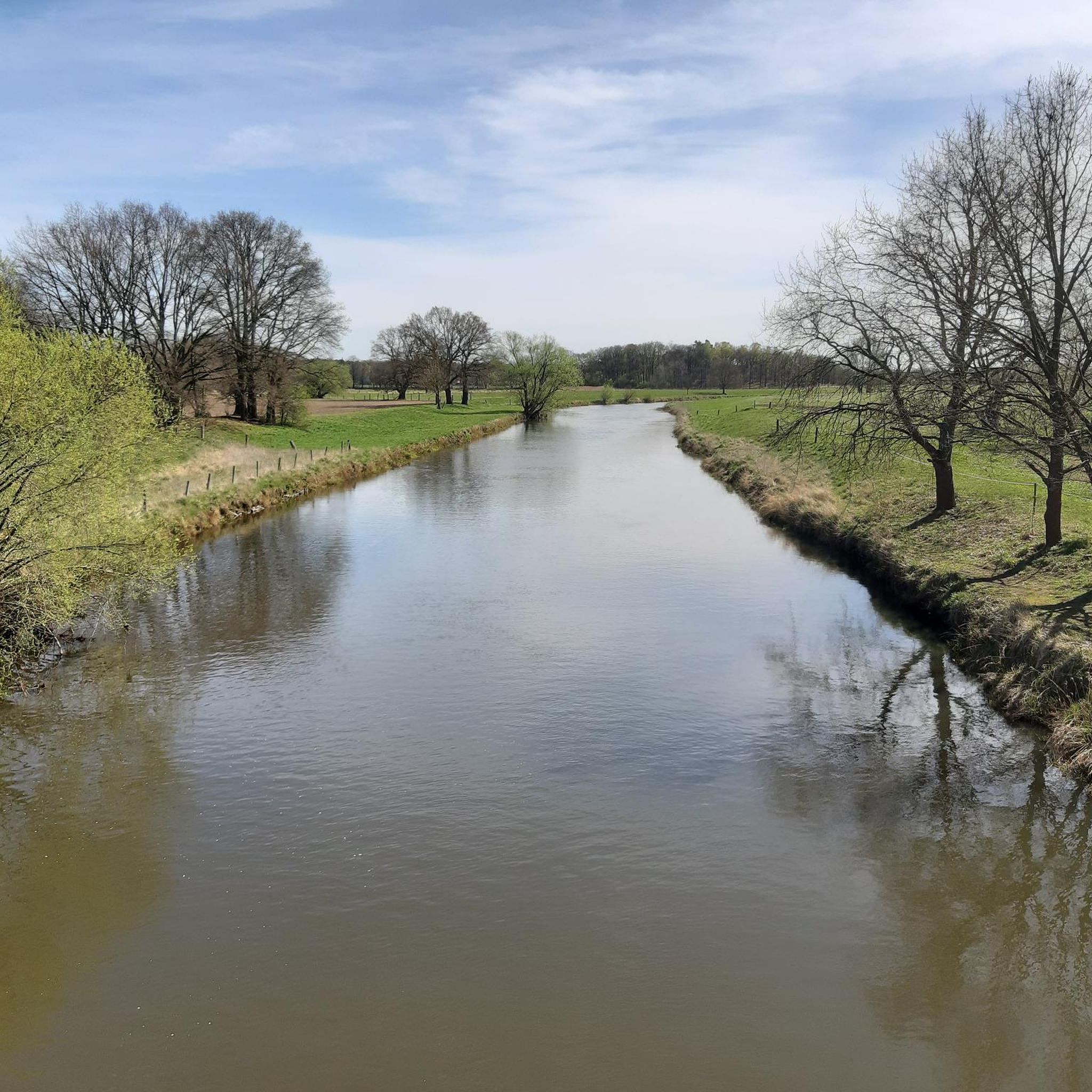
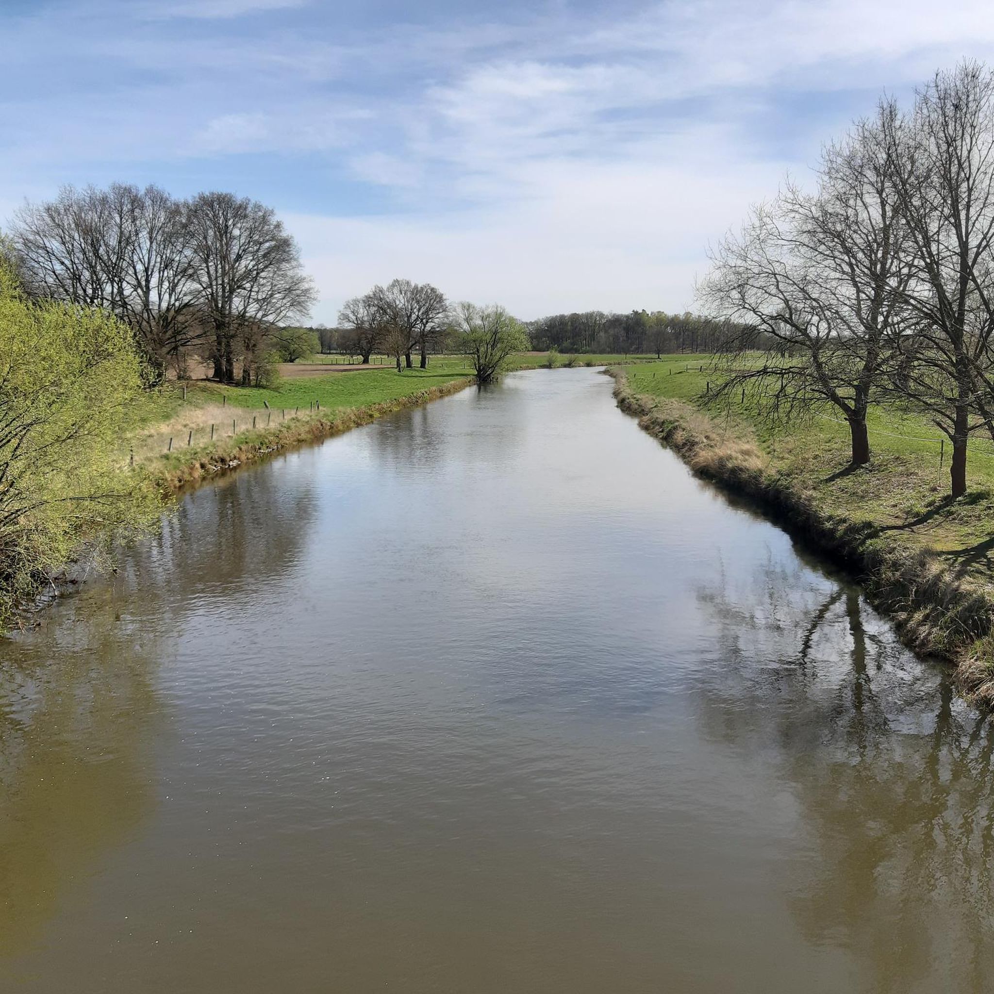
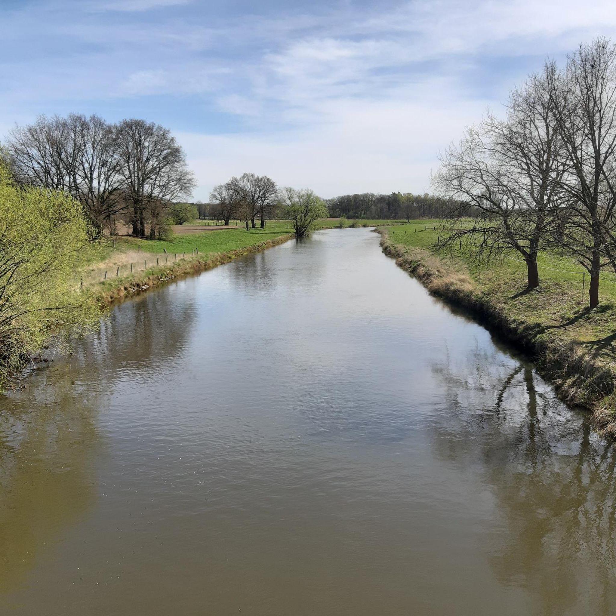
Gravel biking in Obere Allerniederung Bei Celle features low and level terrains along the Aller River, characterized by a protected natural sanctuary. The landscape includes diverse habitats such as reed beds, pastures, meadows, and various forests, including floodplain and fen types. The Aller and Lachte rivers are significant waterways with largely untouched banks, contributing to a rich biodiversity. This flat, semi-open lowland environment is shaped by regular floods, offering varied paths suitable for gravel bike trails.
Best gravel bike trails…
Last updated: July 17, 2026
4.0
(1)
5
riders
Moderate gravel ride. Good fitness required. Mostly paved surfaces. Suitable for all skill levels.
4.8
(38)
46
riders
41.7km
02:29
70m
70m
Moderate gravel ride. Good fitness required. Mostly paved surfaces. Suitable for all skill levels.

Sign up for free
4.4
(16)
44
riders
57.3km
03:12
140m
140m
Moderate gravel ride. Good fitness required. Mostly paved surfaces. Suitable for all skill levels.
4.4
(10)
30
riders
32.7km
01:50
40m
40m
Easy gravel ride. Great for any fitness level. Mostly paved surfaces. Suitable for all skill levels.
4.5
(19)
67
riders
Easy gravel ride. Great for any fitness level. Mostly paved surfaces. Suitable for all skill levels.
Get access to more routes and recommendations from other explorers.
Sign up for free
Already have an account?
Our route recommendations are based on thousands of hikes, rides, and runs completed by other people on komoot.
Start today with a free account
Your next adventure awaits.
Login or Signup
Tips from the Community

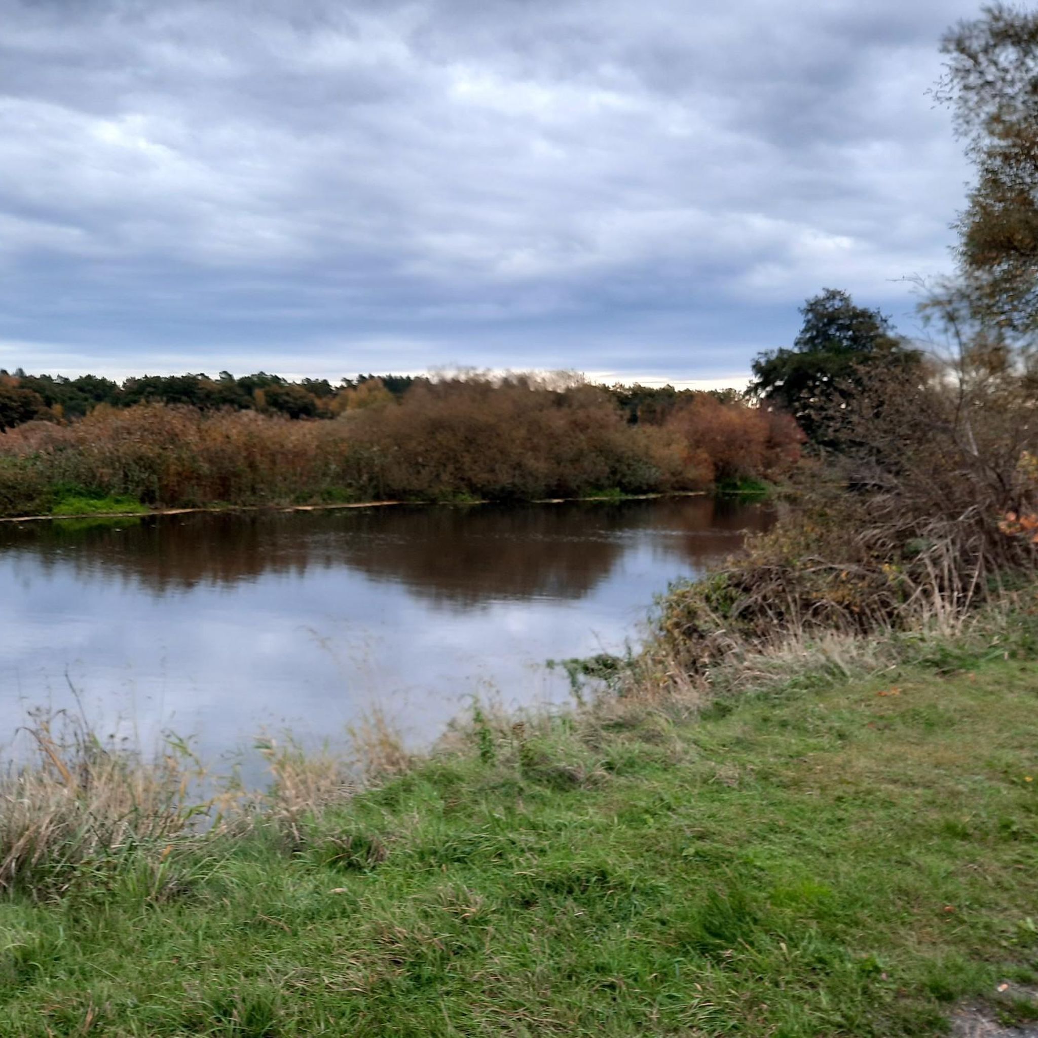
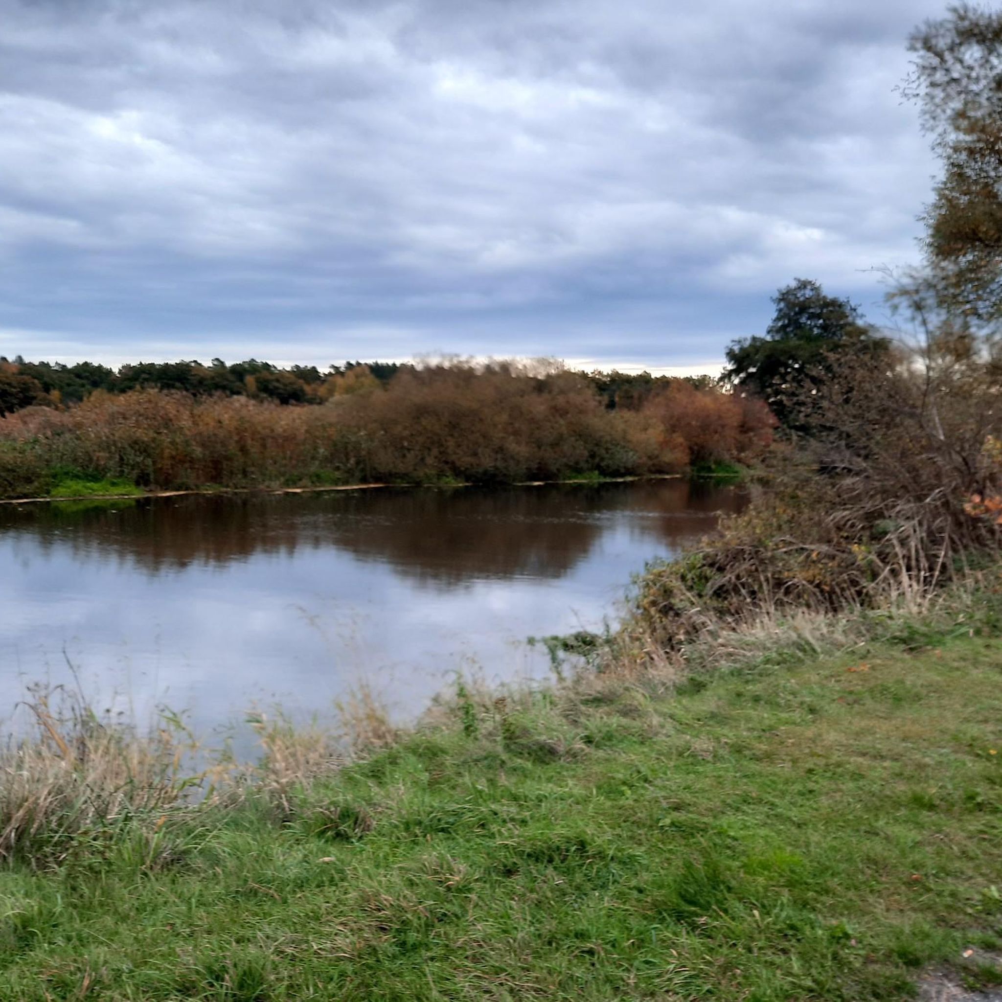
The Angelbecksteich is surrounded on one side by a pretty heathland... A magnificent sight, especially during the flowering season.
1
0

Unfortunately, it's also a road bridge with a lot of traffic.
0
0
The legendary "Blue Bridge" is one of the few ways to cross the Lachte River between Lachendorf and Lachtehausen. However, the "romantic" atmosphere is significantly diminished by traffic noise.
0
0
A beautiful connection between Lachendorf and Lachtehausen, significantly quieter and more varied than the path south of the Lachte river.
0
0

The Oldendorf gravel pits are a scenic area, ideal for cycling and nature observation. Formed by gravel mining, lakes and wetlands have formed here, which today provide habitat for numerous bird species and other animals. The paths around the ponds are easily accessible and invite you to take a relaxing bike ride. The diverse flora and fauna can be enjoyed, especially in spring and autumn.
0
0

From here you have a wonderful view of the Aller in both directions.
0
0

Beautiful path, no obstacles, a very pleasant ride
0
0

Beautiful historic farm with museum
2
0
Frequently Asked Questions
How many gravel bike trails are available in Obere Allerniederung Bei Celle?
The Obere Allerniederung Bei Celle region offers a wide selection of gravel biking routes, with over 100 trails available. These include 42 easy routes, 52 moderate routes, and 15 more challenging options, catering to various skill levels.
What kind of terrain can I expect on the gravel bike trails in Obere Allerniederung Bei Celle?
You can expect diverse terrain, characterized by interconnected waterways like the Aller River, low and level areas, reed beds, pastures, meadows, and forested sections. Many routes feature a mix of mostly paved surfaces and natural trails, offering a varied and engaging ride.
Are there any circular gravel bike routes in the area?
Yes, many routes in the region are designed as loops, allowing you to start and finish at the same point. For example, the Aller River at Oppershausen – Wienhausen Abbey loop from Celle is a popular easy option, and the Wienhausen Abbey – Aller River east of Celle loop from Celle offers a moderate ride through riverine landscapes.
What natural features or landmarks can I see along the gravel bike trails?
The trails often follow the Aller River, providing scenic views of its banks and surrounding meadows. You can also explore the Obere Allerniederung Nature Reserve near Celle, known for its diverse plant life and avian creatures. The Chestnut Avenue on the Osterdeich is another notable natural monument.
Are there any historical sites or gardens to visit near the trails?
Absolutely. You can visit the Celle Medicinal Plant Garden, one of Europe's largest, offering a relaxing stop. Another historical point of interest is the Albrecht Thaer House, built by a pioneer of modern agriculture.
Can I spot wildlife while gravel biking in Obere Allerniederung Bei Celle?
Yes, the region's diverse natural landscape, including reed beds, pastures, and meadows, serves as a habitat for distinctive avian creatures and reptiles. Birdwatching opportunities are common during rides, especially along the Aller River and within the nature reserve.
Are the gravel bike trails in Obere Allerniederung Bei Celle suitable for families or beginners?
Many trails are suitable for families and beginners. There are 42 easy routes available, such as the Pfennig Bridge, Celle – Upper Aller Lowlands near Celle loop from Celle, which explores the lowlands around Celle with minimal elevation gain.
What is the best time of year to go gravel biking in this region?
The region is enjoyable for gravel biking throughout much of the year. Spring and autumn offer pleasant temperatures and vibrant scenery. Summer is also suitable, especially with the shade provided by forested sections. Always check local weather conditions before heading out.
What do other gravel bikers say about the trails in Obere Allerniederung Bei Celle?
The routes in Obere Allerniederung Bei Celle are highly rated by the komoot community, with an average score of 4.6 stars from over 200 reviews. More than 600 gravel bikers have explored the varied terrain, often praising the scenic river paths, expansive meadows, and accessible routes.
Is there parking available near the gravel trails?
While specific parking locations are not detailed for every route, as a popular outdoor destination, you can generally find public parking areas in and around Celle and near common trailheads. It's advisable to check local maps or komoot tour details for specific starting points.
How can I access the gravel trails using public transport?
Celle is well-connected by public transport, including train services. From Celle, you can often reach various starting points of the gravel trails by local bus services or by cycling directly from the city center, as many routes begin or pass through the urban periphery.
Are there cafes or places to stop for refreshments along the routes?
Yes, especially on routes that pass through or near villages and towns like Celle or Wienhausen, you will find opportunities for refreshments. It's always a good idea to carry water and snacks, especially on longer rides, and check the route beforehand for known stops.
Are there any longer, more challenging gravel routes for experienced riders?
For experienced riders seeking longer distances, routes like the Eversen Mill Pond – Picnic Area at Angelbeck Pond loop from Celle offer a moderate challenge, covering over 57 km. The Singletrack Along the Canal – Allerrandweg loop from Celle is another moderate option at over 41 km, featuring varied terrain.
Most popular routes in Obere Allerniederung Bei Celle
Most popular attractions in Obere Allerniederung Bei Celle

Get inspired with the komoot mobile app


Explore more
Browse the best Gravel rides in other regions.
