The best gravel rides in Tornower Niederung
3.8
(19)
85
riders
3
rides
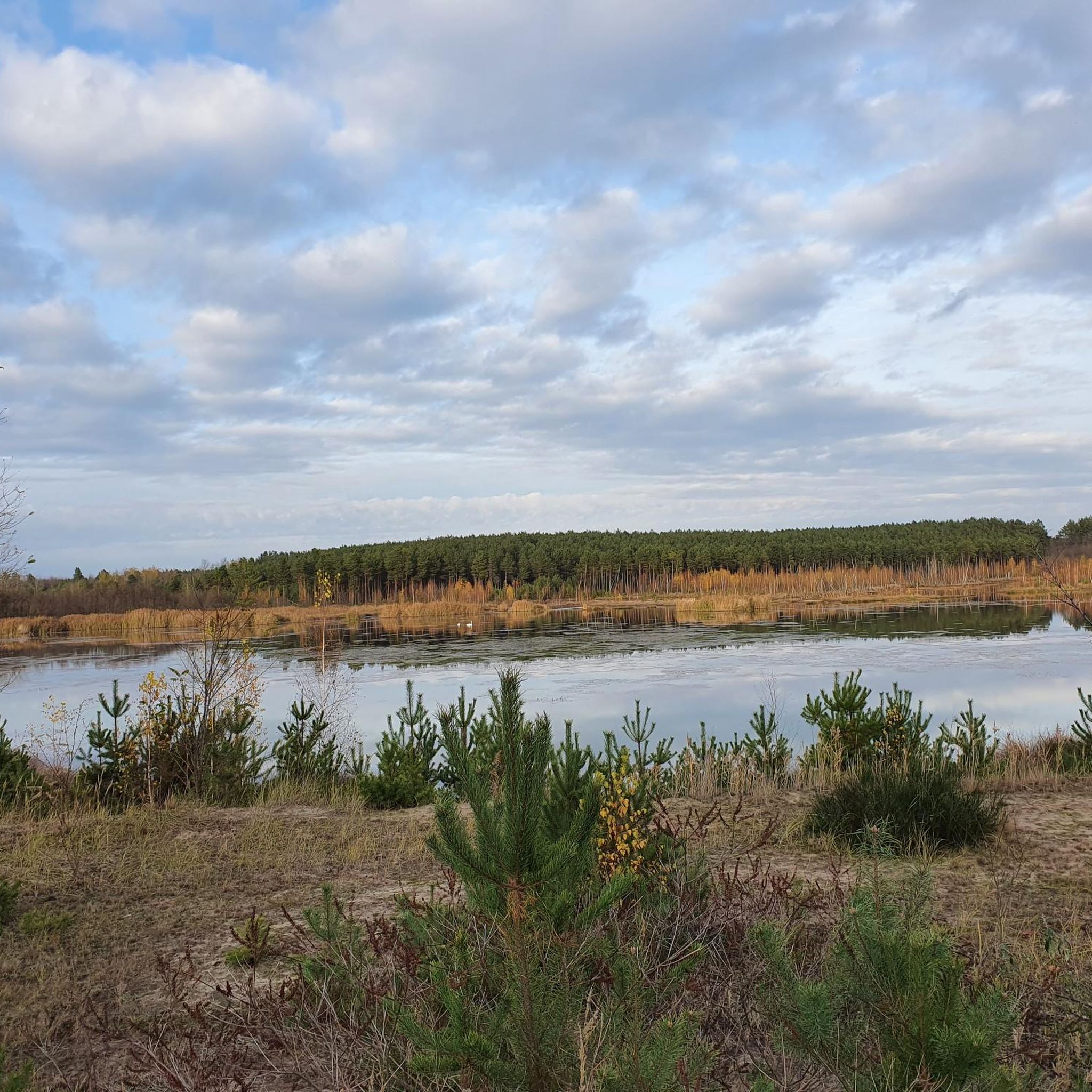
Gravel biking in Tornower Niederung offers routes through a distinctive post-mining landscape, now transformed into a varied wetland ecosystem. The region features a mosaic of terrain, including rewilded areas, sections resembling the Spreewald with boardwalks, and paths alongside the Lichtenauer See. Riders can expect a mix of asphalted paths, often on former railway lines, and diverse unpaved segments through forests and open spaces. This landscape provides varied riding environments shaped by its unique history and ongoing natural rehabilitation.
Best gravel…
Last updated: July 3, 2026
4.3
(7)
23
riders
Easy gravel ride. Great for any fitness level. Mostly paved surfaces. Suitable for all skill levels.
3.5
(4)
24
riders
Easy gravel ride. Great for any fitness level. Mostly paved surfaces. Suitable for all skill levels.

Sign up for free
3.6
(8)
38
riders
Easy gravel ride. Great for any fitness level. Mostly paved surfaces. Suitable for all skill levels.
Our route recommendations are based on thousands of hikes, rides, and runs completed by other people on komoot.
Start today with a free account
Your next adventure awaits.
Login or Signup
Tips from the Community

Really beautiful here, but also with endless mosquitoes 🤙
1
0

Attention! "Fontaneweg" from the direction of Nordumfluter towards the hotel "Eiche" is currently a dead end. The last bridge, shortly before the hotel "Eiche", is impassable due to significant damage!
0
0

Beautiful, small Spreewald village. However, very crowded in high season.
0
0

Beautiful cycle path along the river
1
0

Between the Leipe and Raddusch rivers, you'll inevitably come across one of the most characteristic landmarks of the Spreewald cycle paths: the Spree Bridge with its lock, located in the heart of the biosphere reserve. Anyone cycling here should briefly dismount their bikes – cycling is strictly prohibited on the bridge, and for good reason: the wooden steps are steep, slippery when wet, and anyone traveling with luggage or an e-bike will know what pushing means by now. The crossing: The bridge itself is charmingly rustic – a mix of Spreewald romance and a sporting challenge. The calm Spree waters flow beneath it, lined with trees and reeds, often with canoes, paddleboats, or visiting ducks. Directly next to it is the small lock, which almost seems out of time: no hustle and bustle, no noise, just the occasional quiet gurgling as the gates open. Photo tip: From the bridge, you have a beautiful view of the river and the surrounding landscape – a perfect moment for anyone seeking something special in a relaxed setting. For cyclists: If you're heavily laden or riding in a group, you should allow a few extra minutes for the crossing. The steps are equipped with treads, but are unsuitable for trailers or tandems. Those who like can help each other – true Spreewald style.
0
0
Crossing by bike is no problem, as the bridge has rails. This makes cycling in the Spreewald twice as much fun.
0
0
It's a very beautiful route, only the small bridges were tiring on the bikes.
0
1

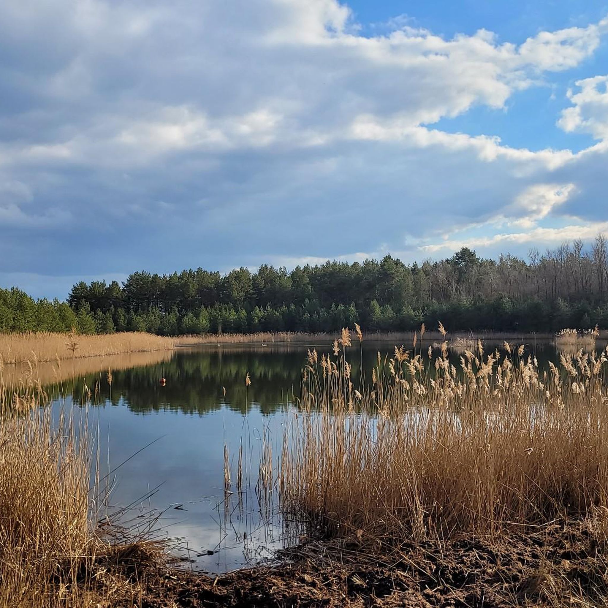
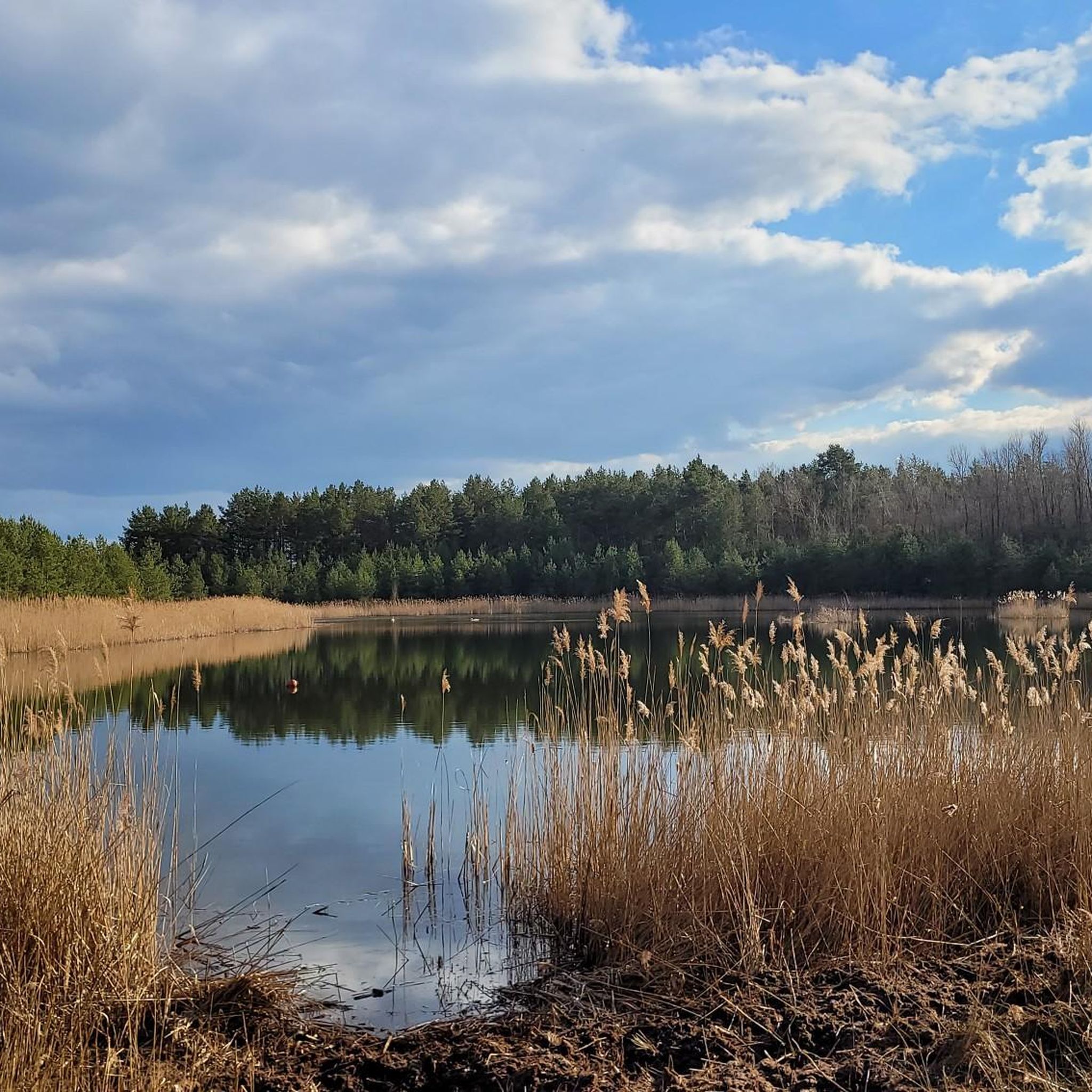
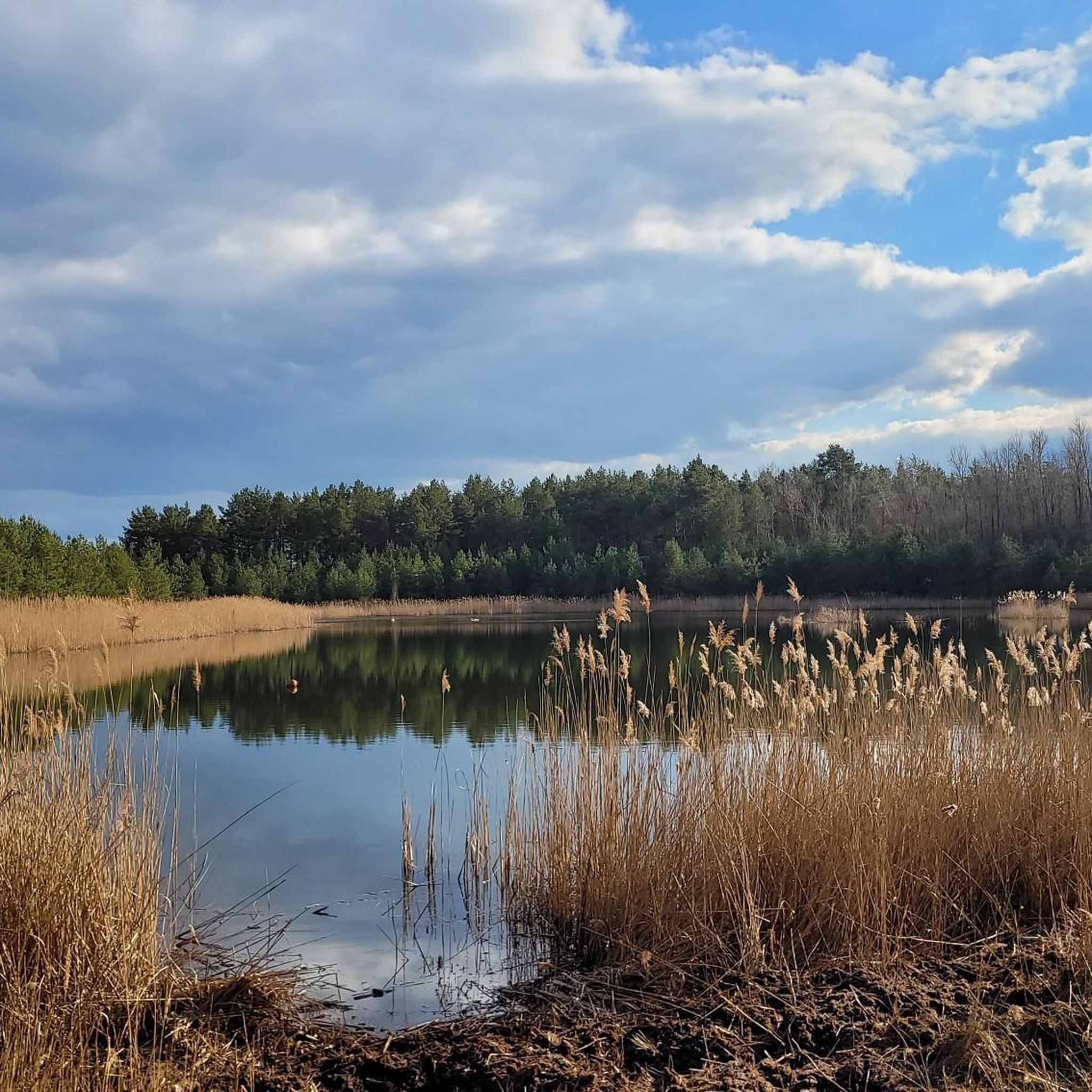
Great light! Great green in 1,000 variations!
0
0
Frequently Asked Questions
How many gravel bike trails are available in Tornower Niederung?
There are over 10 gravel bike routes in Tornower Niederung listed on komoot, offering a range of experiences from easy loops to more challenging rides. The komoot community has explored these varied terrains over 113 times.
What kind of terrain can I expect on gravel bike trails in Tornower Niederung?
The Tornower Niederung offers a unique mix of terrain, shaped by its post-mining history. You'll find both smooth asphalted paths, often laid on former railway lines, and diverse unpaved segments through reforested areas and open spaces. Some routes even feature Spreewald-like scenery with boardwalks and small bridges, providing a varied and engaging gravel biking experience.
Are there any easy gravel bike routes suitable for beginners or families?
Yes, Tornower Niederung has several easy routes perfect for beginners or families. For example, the Leipe (Spreewald village) – Great Spreewald Harbor, Lübbenau loop from Lübbenau (Spreewald) / Lubnjow (Błota) is an easy 14.1-mile (22.7 km) path offering scenic views through the Spreewald village of Leipe. Another great option is the Great Spreewald Harbor, Lübbenau – Wooden Bridge to Lehde loop from Lübbenau (Spreewald) / Lubnjow (Błota), a 15.7-mile (25.3 km) trail through the unique Spreewald landscape.
Can I find more challenging gravel bike routes in the area?
Yes, for those seeking a longer and more challenging ride, the Tornower Niederung also offers routes like the Great Spreewald Harbor, Lübbenau – Spree Cycle Path loop from Lübbenau (Spreewald) / Lubnjow (Błota). This route covers approximately 55.6 miles (89.5 km) and is rated as difficult, providing a substantial adventure for experienced gravel bikers.
Are there circular gravel bike routes in Tornower Niederung?
Many of the gravel bike routes in Tornower Niederung are designed as loops, allowing you to start and end at the same point. Examples include the Weir on the River Spree – Lübbener Canal Cycle Path loop from Lübbenau (Spreewald) / Lubnjow (Błota), which is a moderate 40.6-mile (65.4 km) trail, and the Great Spreewald Harbor, Lübbenau – Leineweber Stream loop from Lübbenau (Spreewald) / Lubnjow (Błota), a moderate 31.9-mile (51.4 km) option.
Where can I find a good place to stop for a break or refreshments during my ride?
The Fahrrad Café Zum Feldblick is a highly recommended stop for cyclists in the region. It's known for being charming and thoughtfully designed, offering a welcoming place for a longer break. Since 2025, it even features a brand-new shower facility, making it an ideal amenity for those on extended rides.
What are the best viewpoints or natural attractions to see along the trails?
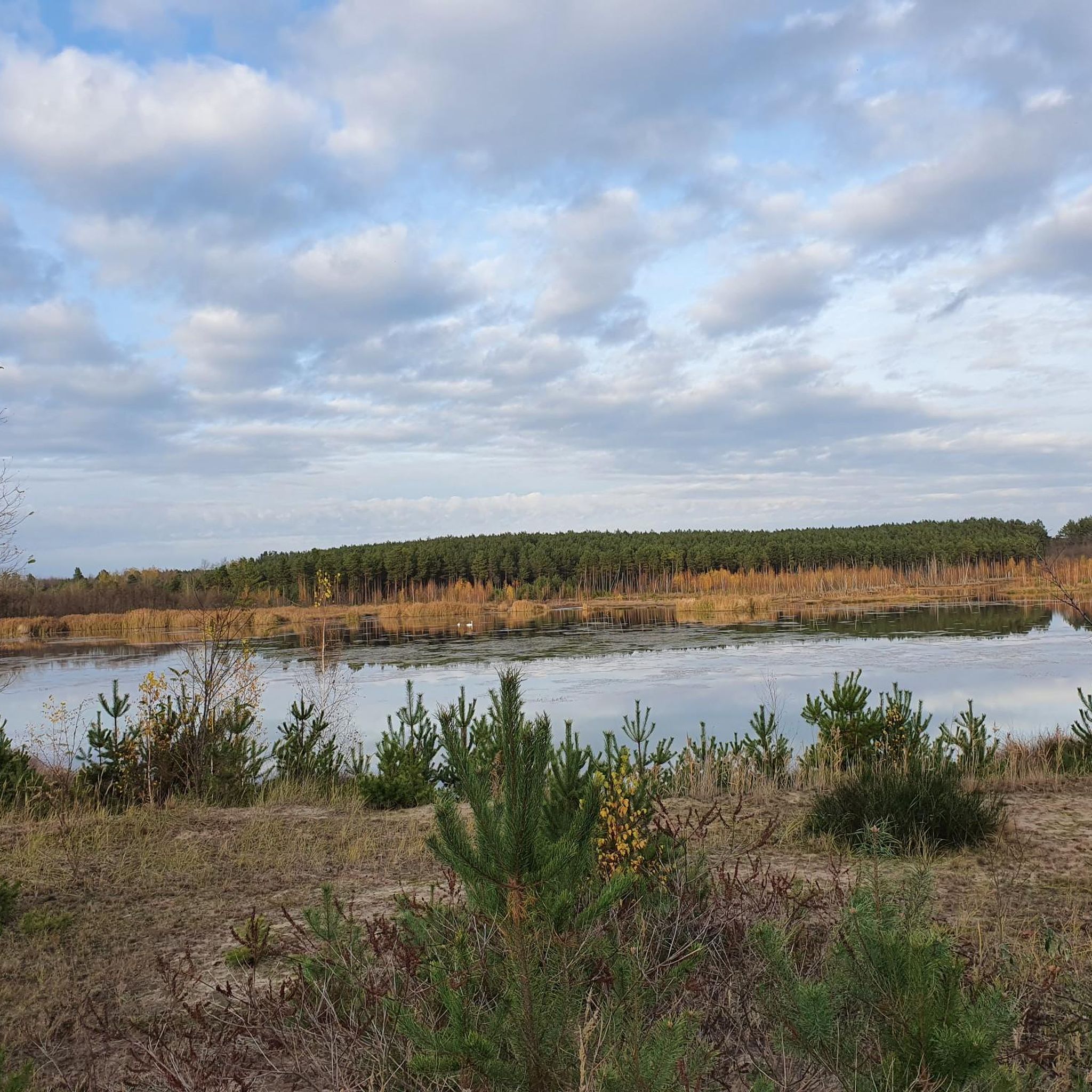
The gravel trails often run alongside the expansive Lichtenauer See, offering picturesque views of this central feature of the nature reserve. While direct access to some parts of the lake is restricted, the surrounding paths provide excellent vantage points. You might also encounter a memorial stone for the former town of Tornow near the lake, adding a historical dimension to the natural beauty.
What do other cyclists say about gravel biking in Tornower Niederung?
The gravel biking routes in Tornower Niederung are highly rated by the komoot community, with an average score of 3.95 stars from over 18 reviews. Cyclists often praise the varied terrain, the unique post-mining landscapes, and the blend of rewilded areas with sections resembling the Spreewald.
What is the best time of year to go gravel biking in Tornower Niederung?
Tornower Niederung's diverse landscapes, including wetlands and reforested areas, make it enjoyable across multiple seasons. Spring and autumn offer pleasant temperatures and vibrant scenery, while summer provides longer daylight hours. Even winter can be an option, though conditions may vary, especially on unpaved sections.
Are there any specific regulations or considerations for gravel biking in the Tornower Niederung nature reserve?
Yes, as Tornower Niederung is a nature reserve, certain regulations are in place to protect its sensitive ecosystem. It's important to stay on marked paths and be aware that activities like swimming, diving, or using watercraft on the Lichtenauer See are restricted. These measures help preserve the unique 'second-hand nature' that has emerged from the post-mining landscape.
How long are the typical gravel bike routes in Tornower Niederung?
The gravel bike routes in Tornower Niederung vary significantly in length, catering to different preferences. You can find shorter loops, such as the 14.1-mile (22.7 km) route through Leipe, or opt for much longer excursions like the 55.6-mile (89.5 km) Spree Cycle Path loop. This variety allows you to choose a ride that fits your desired distance and time commitment.
Most popular routes in Tornower Niederung

Get inspired with the komoot mobile app


Explore more
Browse the best Gravel rides in other regions.
