The best gravel rides in Öberauer Donauschleife
4.9
(12)
93
riders
23
rides
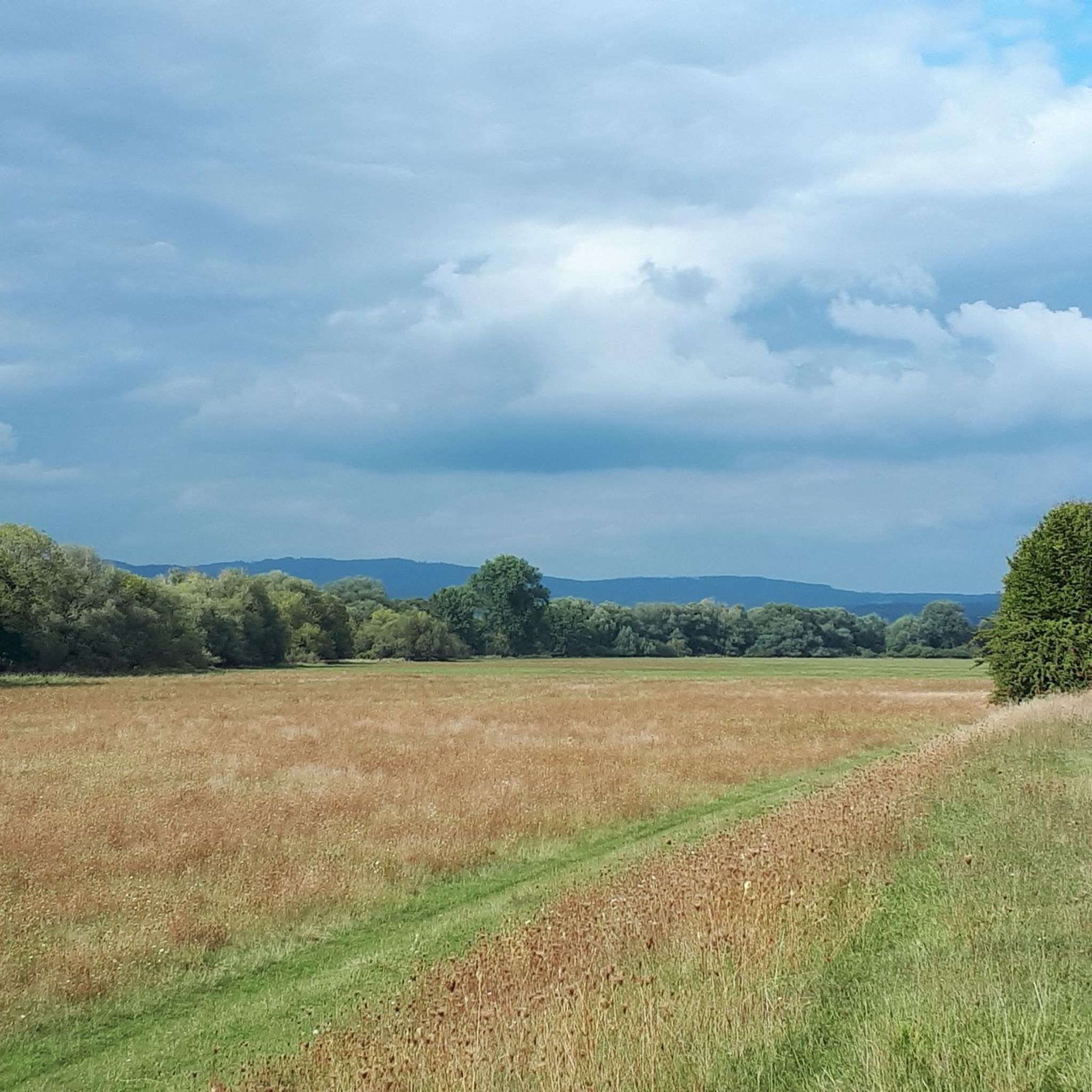
Gravel bike trails in Öberauer Donauschleife traverse a unique Danube floodplain landscape in Lower Bavaria. This region is characterized by its predominantly flat terrain, featuring an oxbow lake formed from the Danube river. The area is a nature reserve, offering well-maintained paths and dikes suitable for gravel biking, with minimal elevation changes.
Best gravel bike trails in Öberauer Donauschleife
- The most popular gravel bike trail is Falkenfels Castle – Schiederhof Forest Inn loop from Kirchroth, a 31.3 miles (50.3…
Last updated: July 3, 2026
8
riders
50.4km
03:02
680m
680m
Hard gravel ride. Very good fitness required. You may need to push your bike for some segments of this route.
4.8
(10)
76
riders
Moderate gravel ride. Good fitness required. Mostly paved surfaces. Suitable for all skill levels.

Sign up for free
2
riders
Hard gravel ride. Very good fitness required. You may need to push your bike for some segments of this route.
4
riders
17.3km
00:51
40m
40m
Easy gravel ride. Great for any fitness level. Mostly paved surfaces. Suitable for all skill levels.
3
riders
Moderate gravel ride. Good fitness required. Mostly paved surfaces. Suitable for all skill levels.
Get access to more routes and recommendations from other explorers.
Sign up for free
Already have an account?
Our route recommendations are based on thousands of hikes, rides, and runs completed by other people on komoot.
Start today with a free account
Your next adventure awaits.
Login or Signup
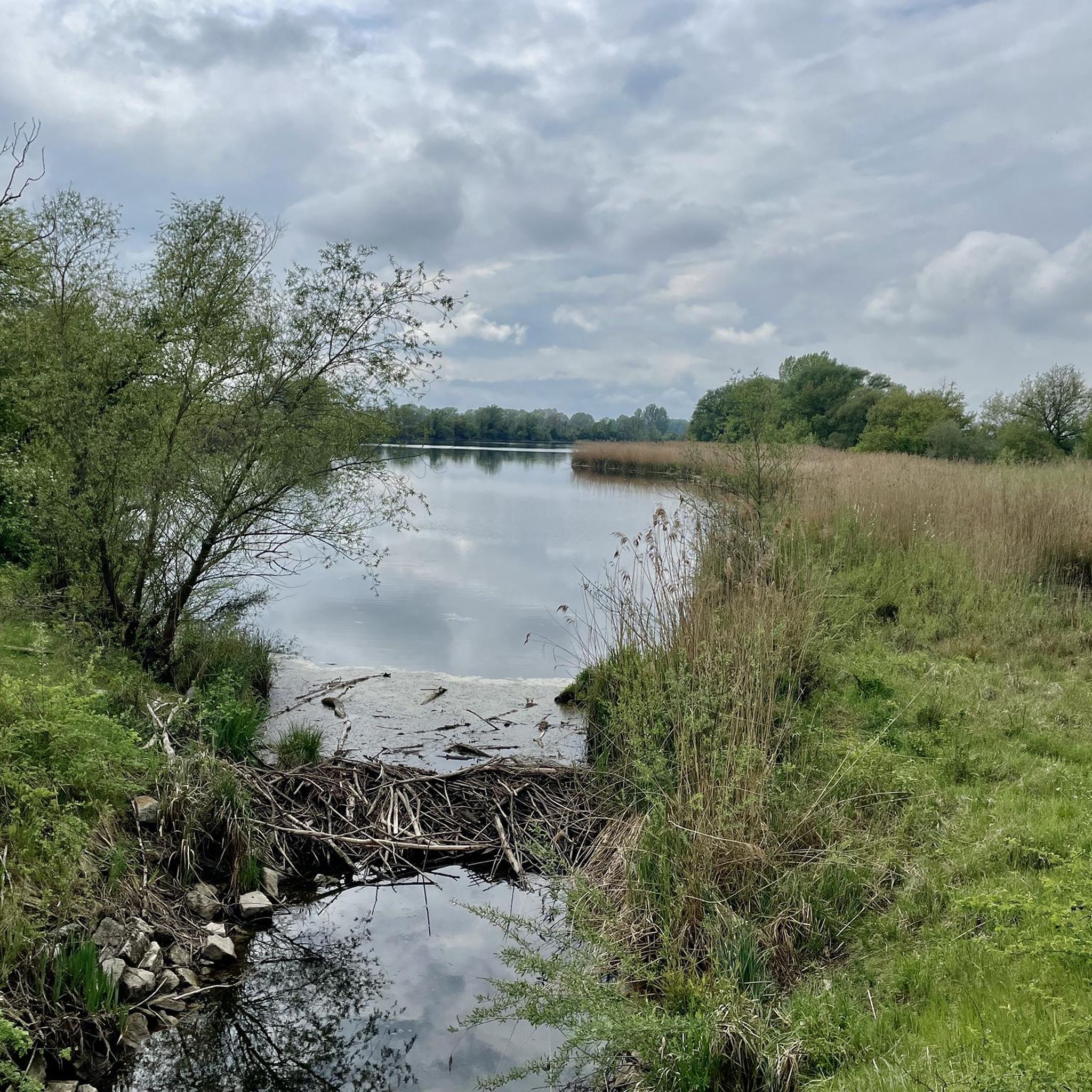
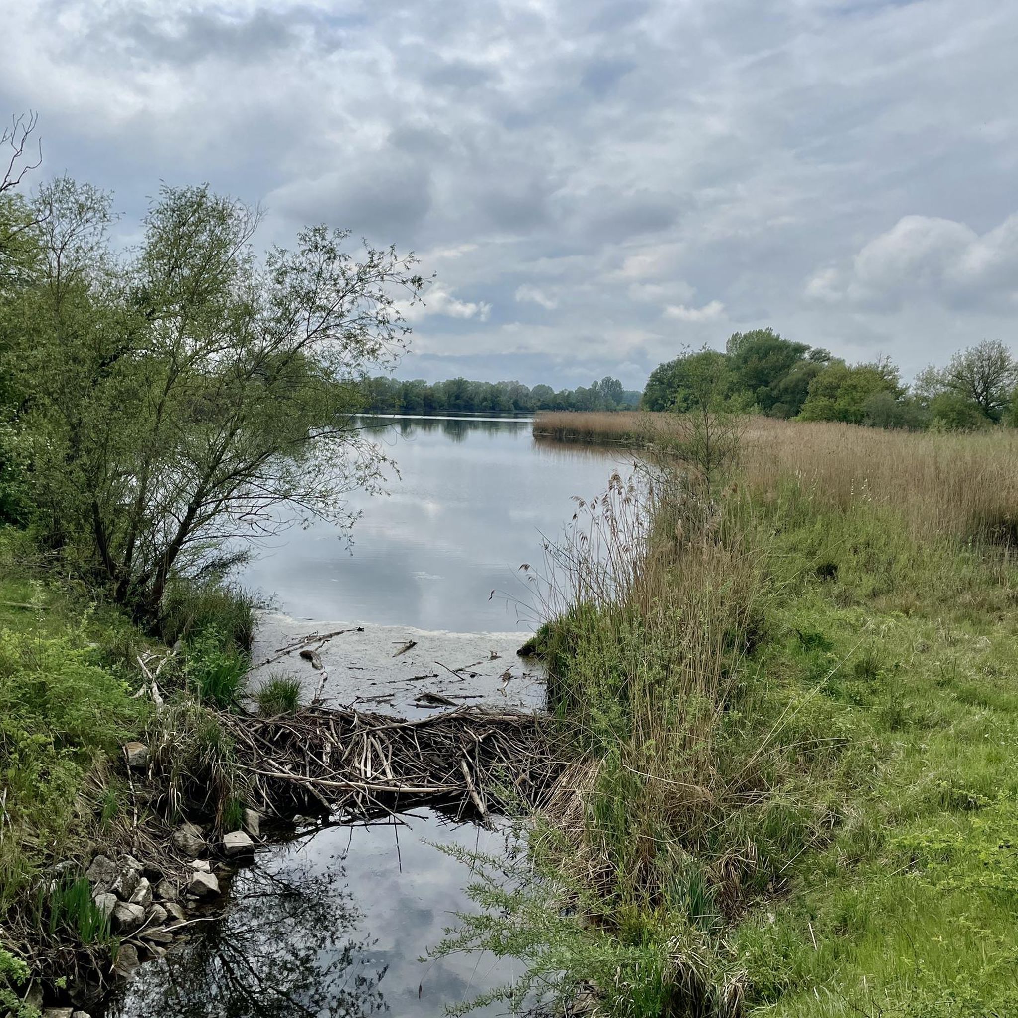
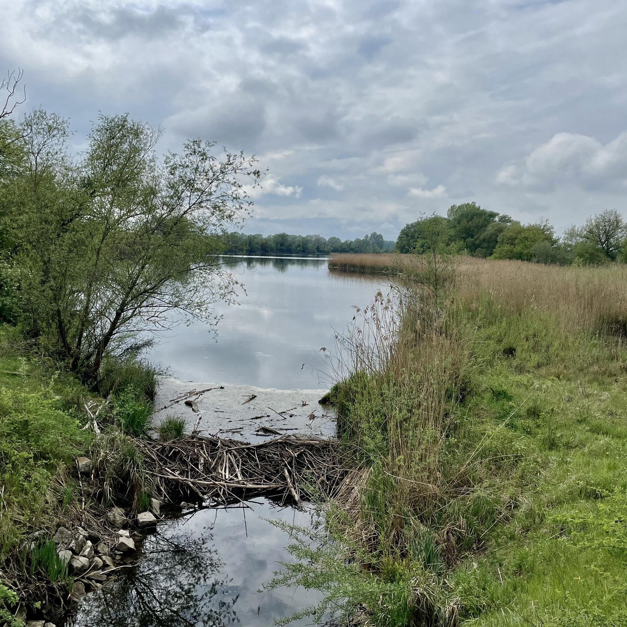
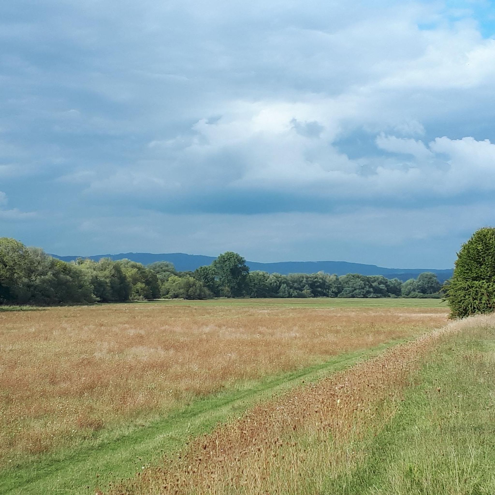
Tips from the Community

The Straubing Lock was built in 1993 as part of the Straubing Weir project to ensure the navigability of the Danube. The lock chamber is located at Danube kilometer 2322.02. With a chamber length of 264 m, it has a usable length of 230 m and a usable width of 24 m. The lock chamber is constructed of concrete and is closed at both the upper and lower gates by a double-leaf mitre gate. Each mitre gate weighs 83 t. The 14-meter-high and 12-meter-wide steel gates rest on a spherical bearing. The chamber is filled and emptied via bypass channels, each with two bypass gates at the upper and lower gates. The chamber fills in 20 minutes with a lock water volume of 44,000 m³. A lockage takes 25 minutes. The lock has a total capacity of 73,000 m³. [1] The level of the upper edge of the lock platform is 321.5 m above sea level (NN), and the level of the lower lock sill is 308.7 m above sea level (NN). For maintenance and repair work on the gates and closures, the lock is equipped with a gantry crane with a lifting capacity of 100 tons, which can be moved along the entire length of the lock. At the associated weir of the Straubing power plant, the design impoundment level is 320 m above sea level (NN). The water level of the lower lock basin is 313.75 m above sea level (NN) at mean water level (MTF) and 312.32 m above sea level (NN) at regulated low water level (RNW). The corresponding head is 6.25 meters at MTF and 7.68 meters at MTW. An information panel at the facility states the lock head as 6.21 m. The lock is remotely controlled from the WSV control center in Regensburg. This control center also remotely operates the Geisling, Regensburg, and Bad Abbach locks. Originally, the Straubing lock was operated from the lock tower on site. Immediately below the lower lock gate, the Kagers Bridge crosses the Alte Donau lock canal. The Danube's kilometer markers show a discrepancy of 7.9 kilometers at the Straubing lock. Therefore, both kilometer markers 2330 and 2322 are present at the lock basin. Source: https://de.wikipedia.org/wiki/Schleuse_Straubing
1
0


beautiful castle unfortunately no visit
0
0


Should she always sit here? Who's seen the front? Captains are desperate... Counterpart? Lorelei on the Rhine...
1
0

Very nice tour, unfortunately I hit a hole in Obermotzing
0
0

Beautiful viewpoint with shelter
0
0

Beautiful view of Wörth Castle
1
0
Frequently Asked Questions
How many gravel bike trails are available in Öberauer Donauschleife?
There are over 30 gravel bike routes in the Öberauer Donauschleife region. These routes offer a variety of experiences, from easy riverside paths to more challenging tours through the surrounding landscape.
What is the overall difficulty level of gravel biking in Öberauer Donauschleife?
The trails in Öberauer Donauschleife cater to various skill levels. You'll find 9 easy routes, 10 moderate routes, and 15 difficult routes, ensuring options for beginners and experienced gravel bikers alike. The region's predominantly flat terrain along the Danube makes many routes accessible.
What kind of terrain can I expect on gravel bike trails in Öberauer Donauschleife?
Gravel biking in Öberauer Donauschleife primarily features flat terrain through the Danube floodplain landscape. You'll ride on well-maintained paths, including paved and unpaved field and forest paths, and along dikes. The routes often offer serene views of the Danube wetlands and the tranquil oxbow lake.
Are there any specific natural features or viewpoints to look out for?
The region is a nature reserve, so you can expect to see diverse wetland habitats and observe various birdlife, especially around the oxbow lake. Routes may pass through charming villages like Pittrich and Kößnach, and some offer views of local architecture such as the Sossau Church. The 'Fuchshöhle' (Fox Cave) is also a notable point of interest.
Are there family-friendly gravel bike routes in Öberauer Donauschleife?
Yes, the flat terrain and well-maintained paths make many routes suitable for families. The minimal elevation changes ensure an enjoyable experience for riders of various ages and fitness levels. Look for routes designated as 'easy' for the most family-friendly options.
Can I bring my dog on the gravel bike trails?
As a nature reserve, there are regulations to protect wildlife. While cycling on designated paths is permitted, it's crucial to keep dogs on a leash to avoid disturbing the habitats of animals and plants. Always respect local signage regarding pets.
Are there circular gravel bike routes available?
Many of the gravel bike routes in Öberauer Donauschleife are designed as loops, allowing you to start and end at the same point. For example, the Danube Cycle Path – Straubing Market Square loop from Straubing and the Danube Floodplains – Straubing Market Square loop from Straubing are popular circular options.
Where can I park when visiting Öberauer Donauschleife for gravel biking?
Parking is generally available in the nearby towns and villages that serve as starting points for routes, such as Straubing or Kirchroth. Always look for designated parking areas to ensure you are not obstructing local traffic or violating nature reserve regulations.
Is public transport available to reach the gravel biking areas?
Straubing, a key starting point for several routes, is accessible by public transport. From there, you can easily connect to various gravel biking trails within the Öberauer Donauschleife. Check local bus and train schedules for the most current information.
What is the best time of year for gravel biking in Öberauer Donauschleife?
The Öberauer Donauschleife is enjoyable for gravel biking throughout much of the year. Spring and autumn offer pleasant temperatures and beautiful scenery, while summer provides longer daylight hours. Be mindful of potential high water levels or muddy conditions after heavy rainfall, especially in the floodplain areas.
Are there cafes or places to eat along the gravel bike trails?
While the immediate nature reserve focuses on natural preservation, routes often pass through or near charming villages like Pittrich, Kößnach, and Straubing, where you can find cafes, restaurants, and inns to refuel and relax during your ride.
What do other gravel bikers say about the trails in Öberauer Donauschleife?
The gravel biking routes in Öberauer Donauschleife are highly rated by the komoot community, with an average score of 4.6 stars from over 10 reviews. Many of the 90+ visitors praise the tranquil landscapes, the well-maintained paths, and the opportunity to experience the unique Danube floodplain environment.
Are there any regulations I should be aware of when gravel biking in the nature reserve?
Yes, as a designated nature reserve and Natura 2000 site, there are regulations in place. It is prohibited to drive vehicles of all kinds outside of designated public roads and paths, and disturbing the habitats of animals and plants is not allowed. Please stick to marked paths to preserve the natural integrity of the area.
Most popular routes in Öberauer Donauschleife

Get inspired with the komoot mobile app


Explore more
Browse the best Gravel rides in other regions.
