The best gravel rides in Mörnbachtal
4.3
(69)
357
riders
47
rides
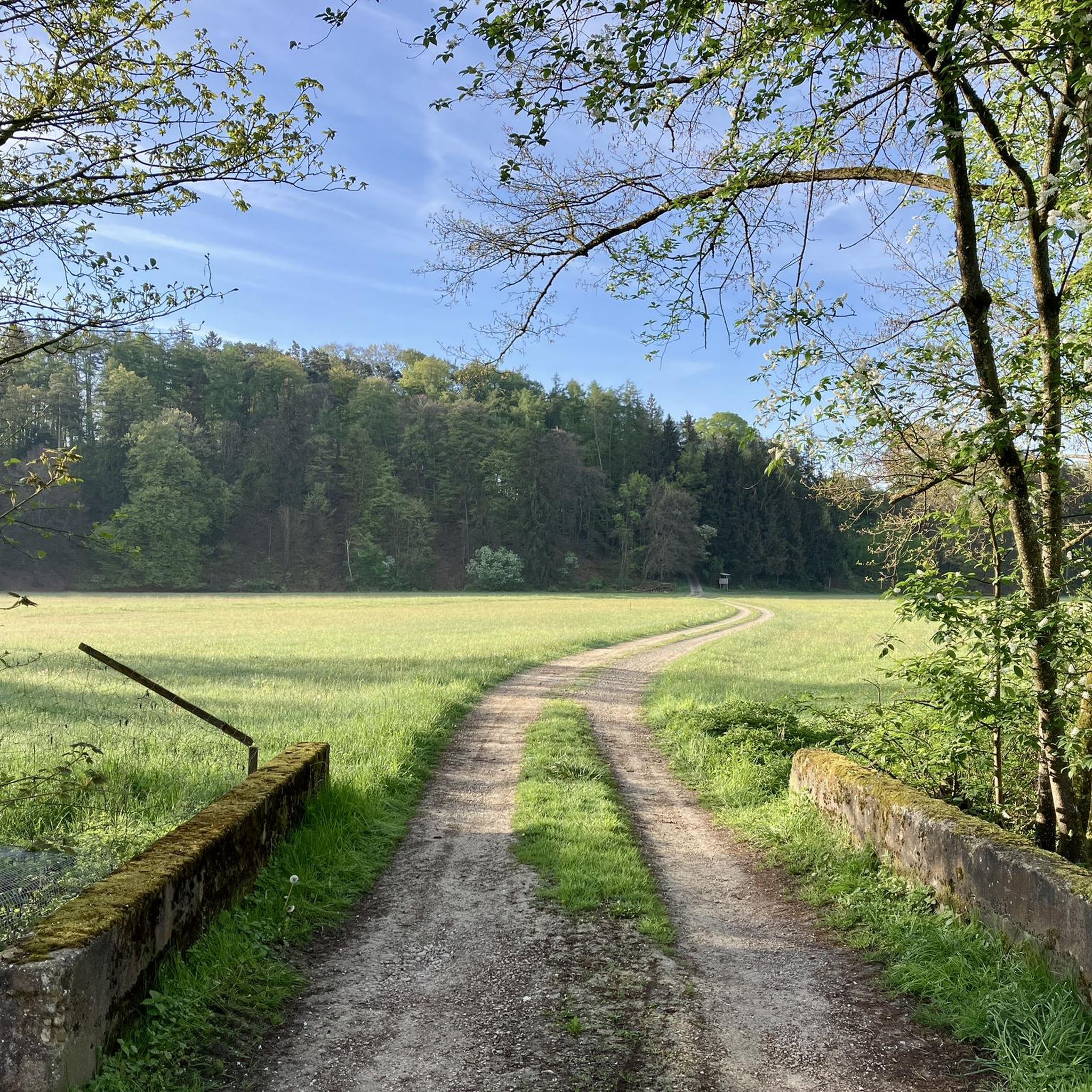
Gravel biking in Mörnbachtal offers diverse landscapes characterized by rolling hills, extensive forests, and scenic river valleys. The region provides a mix of paved surfaces and forest tracks, suitable for varied gravel cycling experiences. Riders can expect routes that navigate through natural surroundings, often off the beaten path, with terrain ranging from generally easy to ride paths to more challenging sections. The Mörnbachtal area, part of the Hunsrück low mountain range, features a blend of natural beauty and varied surfaces…
Last updated: July 3, 2026
5.0
(9)
24
riders
36.6km
01:52
130m
130m
Easy gravel ride. Great for any fitness level. Mostly paved surfaces. Suitable for all skill levels.
5.0
(1)
19
riders
20.9km
01:04
70m
70m
Easy gravel ride. Great for any fitness level. Mostly paved surfaces. Suitable for all skill levels.

Sign up for free
9
riders
43.7km
02:29
170m
170m
Moderate gravel ride. Good fitness required. Mostly paved surfaces. Suitable for all skill levels.
5.0
(1)
16
riders
32.1km
01:40
160m
160m
Moderate gravel ride. Good fitness required. Mostly paved surfaces. Suitable for all skill levels.
6
riders
Moderate gravel ride. Good fitness required. Mostly paved surfaces. Suitable for all skill levels.
Get access to more routes and recommendations from other explorers.
Sign up for free
Already have an account?
Our route recommendations are based on thousands of hikes, rides, and runs completed by other people on komoot.
Start today with a free account
Your next adventure awaits.
Login or Signup
Tips from the Community

The town hall was built in the 18th century by combining three originally separate residential plots. The western façade was redesigned as a unified structure after the merger. The core of the Gothic atrium dates from the 14th and 15th centuries, while the façade dates back to the 18th century. The building was inhabited by the noble Mautner family before being acquired by the town in 1439. The façade features the Burghausen town coat of arms, with the Bavarian heraldic symbols of diamonds and lions above it.
13
0

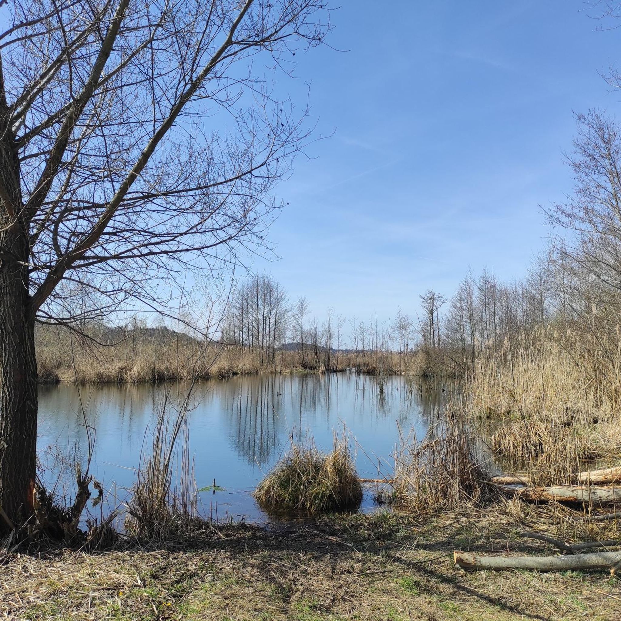
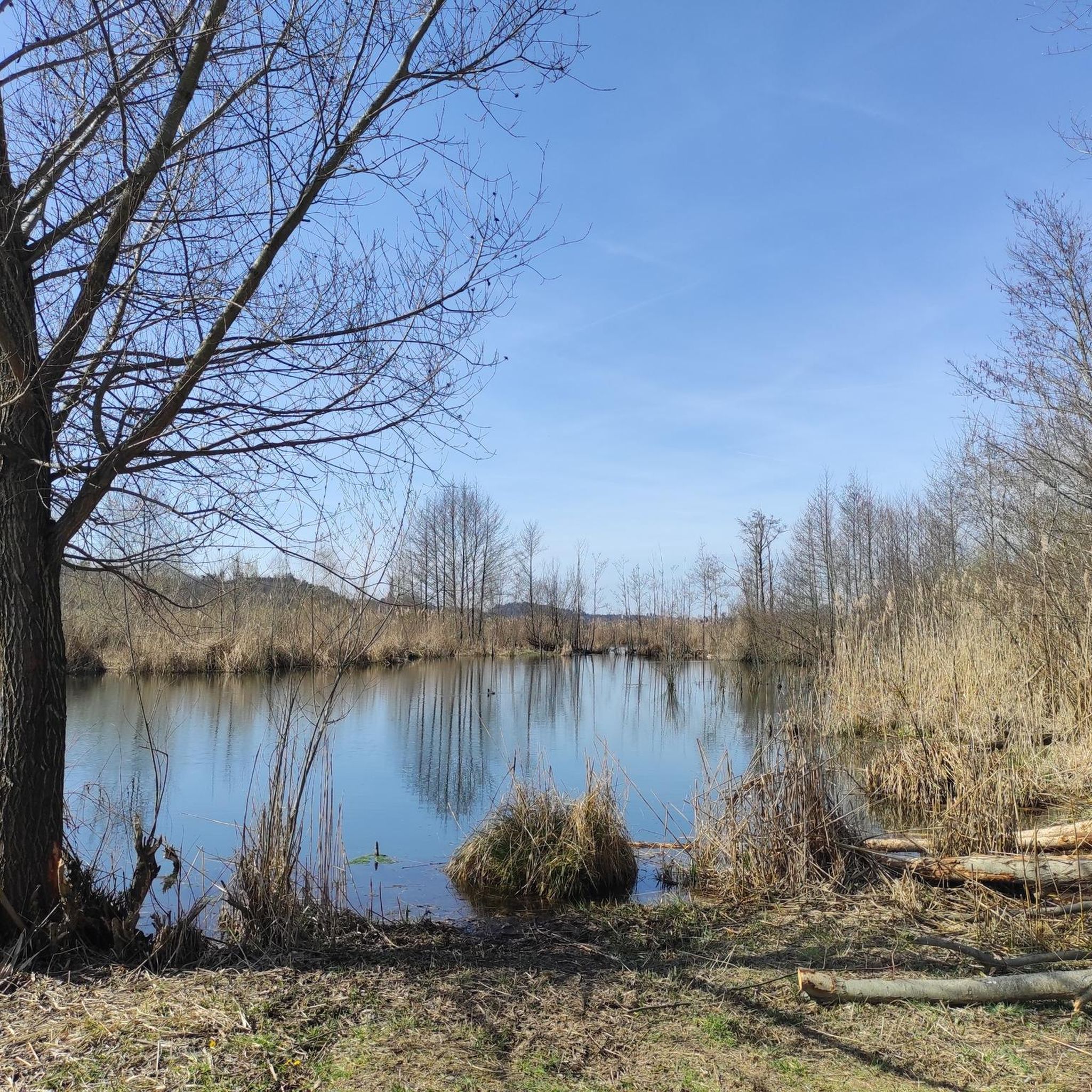
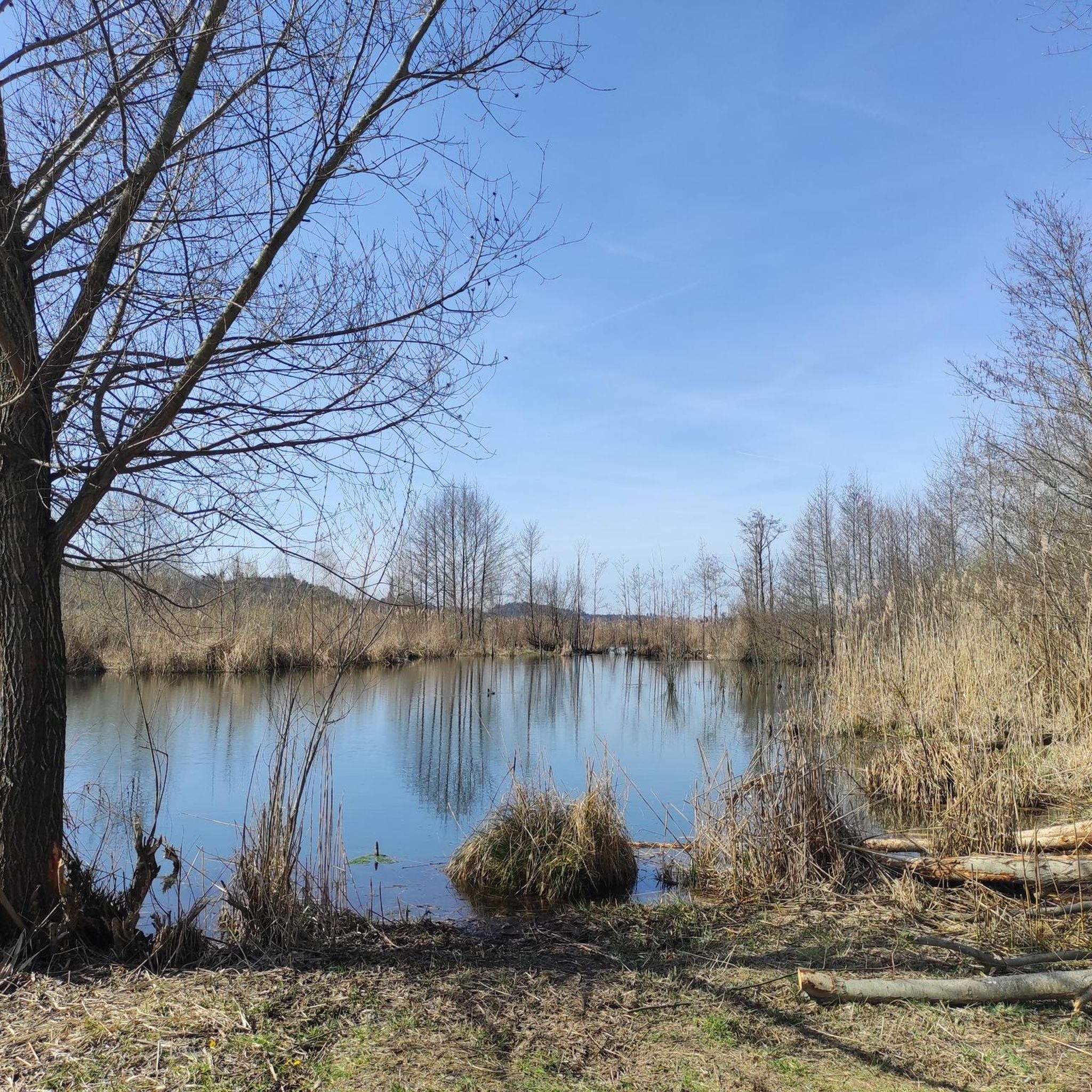
Beautiful in any season 🌿🌾 but especially in spring when in bloom
2
0

Wide, straight, well maintained gravel road through the forest.
0
0
Mediocre road surface, but for sure easy enough for touring bikes and up ;)
1
0

A beautiful walking path along the Salzach River; partly unpaved and untouched. Beyond the Kreuzfelsen rock, the trail was blocked because trees had fallen.
1
0

Romantic little town with a beautiful town square to take a break!
0
0

very beautiful church
0
0

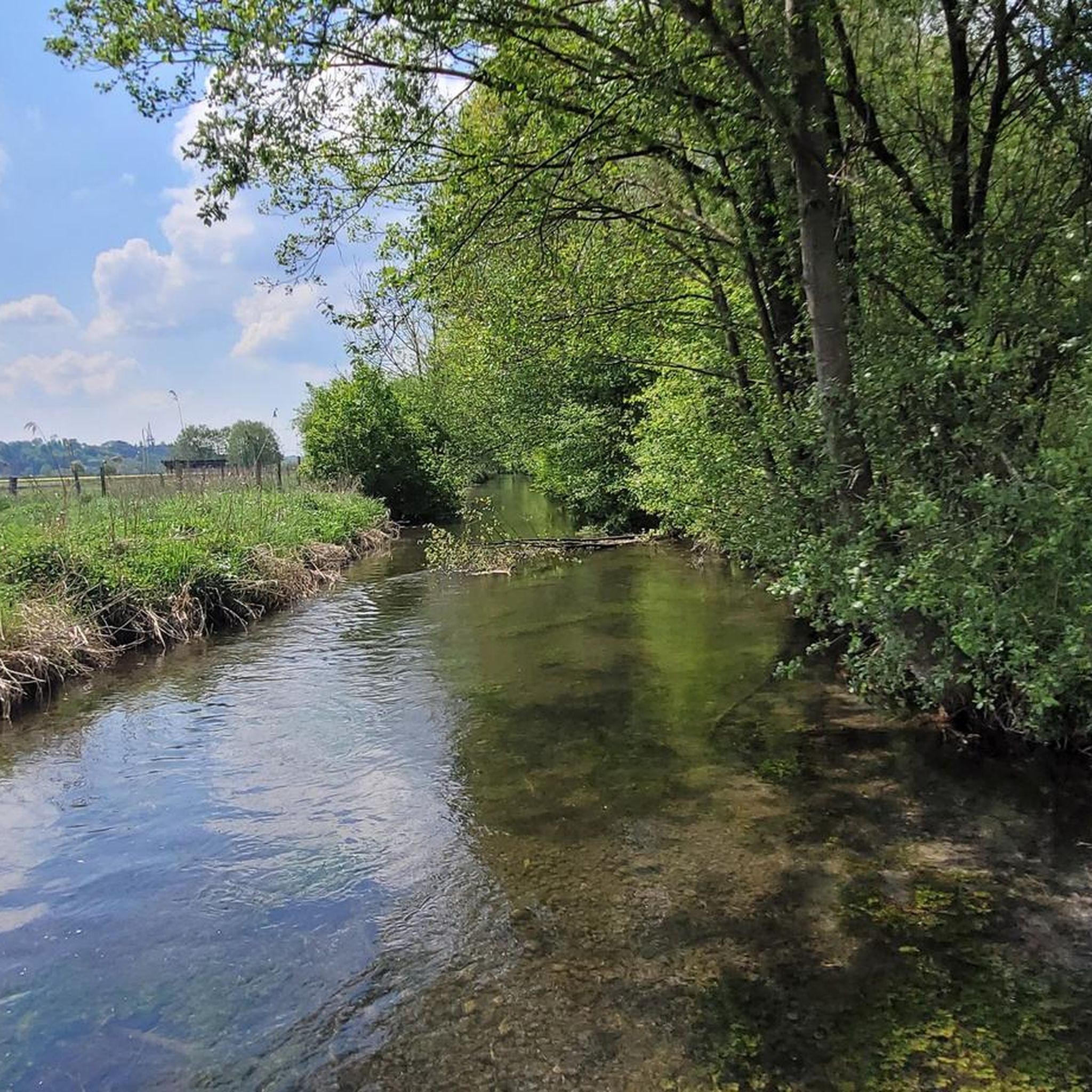
A beautiful landscape
3
0
Frequently Asked Questions
How many gravel bike trails are available in Mörnbachtal?
Mörnbachtal offers a wide selection of gravel biking routes, with over 70 trails to explore. These routes cater to various skill levels, including easy, moderate, and difficult options.
What kind of terrain can I expect on gravel bike trails in Mörnbachtal?
The Mörnbachtal region, part of the Hunsrück low mountain range, features diverse terrain. You'll encounter a mix of rolling hills, dense forests, and scenic river valleys. Routes often combine paved surfaces with forest tracks and extensive trails, providing varied riding experiences, sometimes off the beaten path.
Are there any easy gravel bike trails suitable for beginners or families in Mörnbachtal?
Yes, Mörnbachtal has several easy gravel bike trails. For a more relaxed ride, consider the Perach Bathing Lake – Kapellplatz, Altötting loop from Altötting, which is just over 20 km long and takes around 1 hour 20 minutes to complete. This route offers gentle terrain suitable for those new to gravel biking or looking for a leisurely outing.
What are some notable natural features or landmarks I can see while gravel biking in Mörnbachtal?
The Mörnbachtal region offers several interesting sights. You can explore the unique Gravel Cave and Erosion Slope in Mörnbachtal, or cross the distinctive Concrete slab bridge over stream in Mörnbachtal. For panoramic views, the View of Tüßling and the Inn Valley is a popular spot.
Are there any longer or more challenging gravel routes for experienced riders?
Absolutely. For experienced gravel bikers seeking a longer and more challenging adventure, the View of the Alz – Seebruck Bridge loop from Heiligenstatt is an excellent choice. This difficult route spans over 84 km and typically takes nearly 6 hours to complete, featuring significant elevation changes and diverse terrain.
What do other gravel bikers say about the trails in Mörnbachtal?
The gravel biking routes in Mörnbachtal are highly regarded by the komoot community, boasting an average rating of 4.5 stars from over 60 reviews. Riders often praise the varied terrain, the freedom of riding off the beaten path, and the beautiful natural surroundings.
Are there any routes that follow river floodplains?
Yes, you can find routes that wind through scenic river floodplains. The Northern Inn Floodplains – Isen Rapids loop from Altötting is a moderate 36.6 km path that offers a mix of natural scenery and open stretches along the river.
Can I find routes that pass through towns or offer opportunities for refreshments?
Many routes in Mörnbachtal start or pass near towns like Altötting, which offer amenities. For example, the Kapellplatz, Altötting – Altötting Pilgrimage Square loop from Altötting begins and ends in Altötting, providing access to local facilities. Additionally, the Bräu im Moos Brewery and Beer Garden is a highlight along some routes, perfect for a break.
Are there any routes that offer views of the surrounding area?
Yes, several routes provide excellent viewpoints. For instance, the Northern Inn Floodplains – Tüßling Market Square loop from Altötting offers scenic vistas, and you can specifically seek out the View of Tüßling and the Inn Valley highlight for expansive views.
What is the best time of year to go gravel biking in Mörnbachtal?
The Mörnbachtal region is generally enjoyable for gravel biking throughout much of the year. Spring and autumn offer pleasant temperatures and beautiful scenery with changing foliage. Summer is also suitable, though some routes might be more exposed to the sun. Winter riding is possible, but be prepared for potentially colder temperatures and varied trail conditions.
Are the gravel trails in Mörnbachtal typically circular routes?
Many of the gravel bike trails in Mörnbachtal are designed as circular loops, allowing you to start and finish at the same point. This is convenient for parking and planning your ride. Examples include the View of the Alz – Seebruck Bridge loop from Heiligenstatt and the Northern Inn Floodplains – Isen Rapids loop from Altötting.
Most popular routes in Mörnbachtal
Most popular attractions in Mörnbachtal

Get inspired with the komoot mobile app


Explore more
Browse the best Gravel rides in other regions.
