The best gravel rides in Nerrina Historic Area
4.3
(4)
82
riders
15
rides
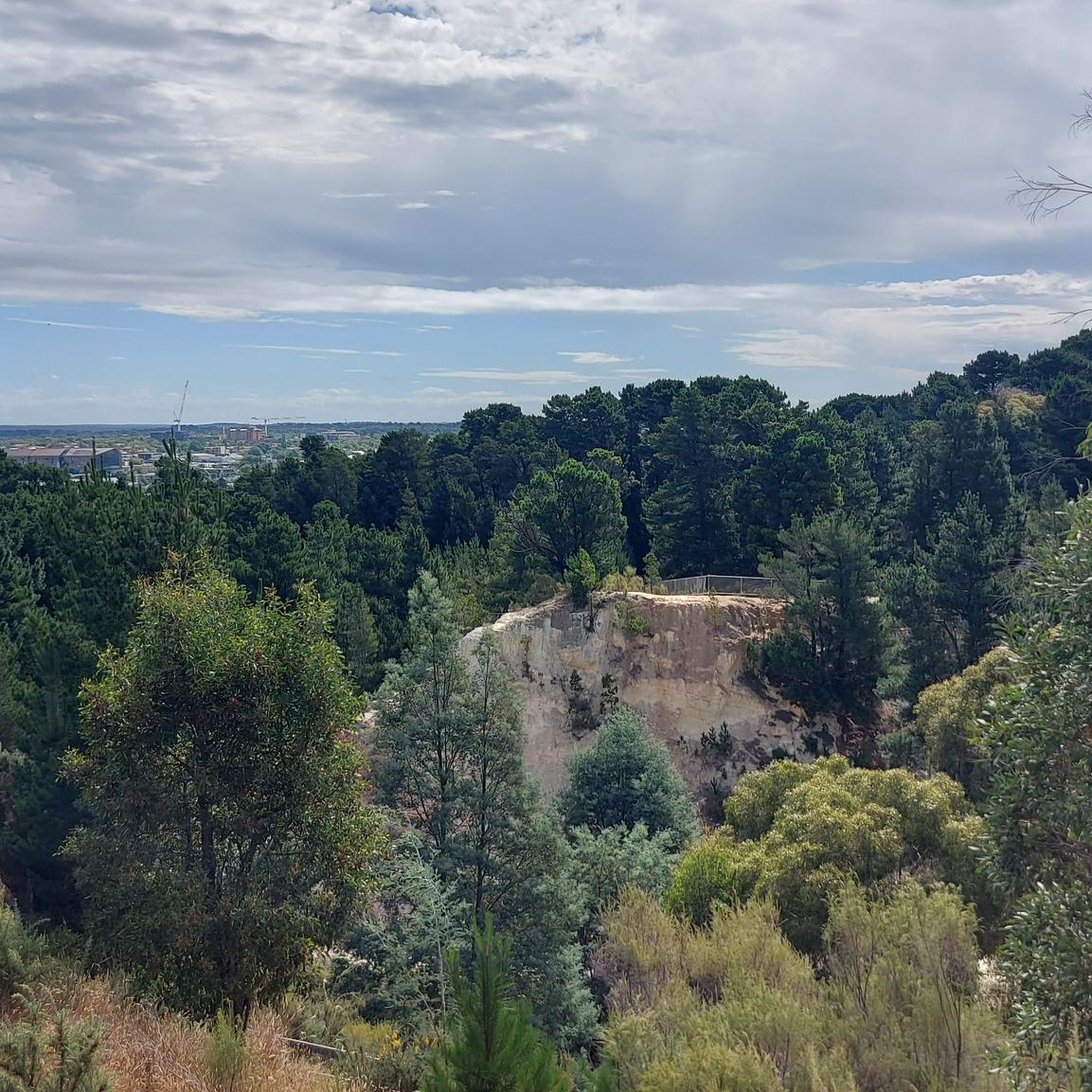
Gravel biking in Nerrina Historic Area offers a diverse landscape for riders. The region features undulating terrain, often characterized by open areas and historical landmarks. Riders can expect a mix of rural roads and paths that connect various points of interest around Ballarat. The elevation changes provide varied challenges, from gentle climbs to more sustained ascents.
Best gravel bike trails in Nerrina Historic Area
- The most popular gravel bike trail is Gravel loop from Ballarat, a 15.7 miles (25.4…
Last updated: July 17, 2026
7
riders
25.4km
02:01
320m
320m
Moderate gravel ride. Good fitness required. Mostly paved surfaces. Suitable for all skill levels.
6
riders
36.3km
02:27
350m
350m
Moderate gravel ride. Good fitness required. Mostly paved surfaces. Suitable for all skill levels.

Sign up for free
4.0
(1)
4
riders
52.0km
03:38
650m
650m
Hard gravel ride. Very good fitness required. Mostly paved surfaces. Suitable for all skill levels.
3
riders
20.9km
01:25
280m
280m
Moderate gravel ride. Good fitness required. Mostly paved surfaces. Suitable for all skill levels.
4
riders
43.7km
03:05
450m
450m
Moderate gravel ride. Good fitness required. Mostly paved surfaces. Suitable for all skill levels.
Get access to more routes and recommendations from other explorers.
Sign up for free
Already have an account?
Our route recommendations are based on thousands of hikes, rides, and runs completed by other people on komoot.
Start today with a free account
Your next adventure awaits.
Login or Signup
Tips from the Community

Yuilles Wetlands serves as a vital filtration system for the Yarrowee River watershed and is an important habitat for many local wildlife species. Located on the traditional lands of the Wadawurrung people. There is a network of gravel paths and boardwalks that make it a favorite for local birdwatchers and quiet afternoon strolls.
0
0
Deriving its name from the Wathaurong Aboriginal words, balla and arat, Ballarat is the third largest city in Victoria. Though a settlement predates the discovery of gold in 1851 the town really came into its own during the gold rush era, and at its height it rivaled Melbourne in terms of population, wealth, and cultural influence. Though it failed to keep up with the state capital, it still remains an important commercial centre and its historic buildings continue to draw visitors.
0
0
Known as Yaramlok by the Wadawurrung people, the Yarrowee River served as a vital life source for thousands of years before becoming the backbone of the region’s 19th-century gold rush. While much of the river’s urban course has been shaped by industry, ongoing rehabilitation efforts are focused on returning it to a thriving habitat for local plant and wildlife. It’s a popular spot for a relaxing stroll or a car-free commute through town.
0
0
Originally a swamp, Lake Wendouree was dammed to supply Ballarat with water following the Victorian Gold Rush. The name is derived from the local Aboriginal language and is thought to mean "go away". The lake is known as a popular destination in Ballarat and is was the site of the rowing and canoeing events during the 1956 Melbourne Olympics.
0
0

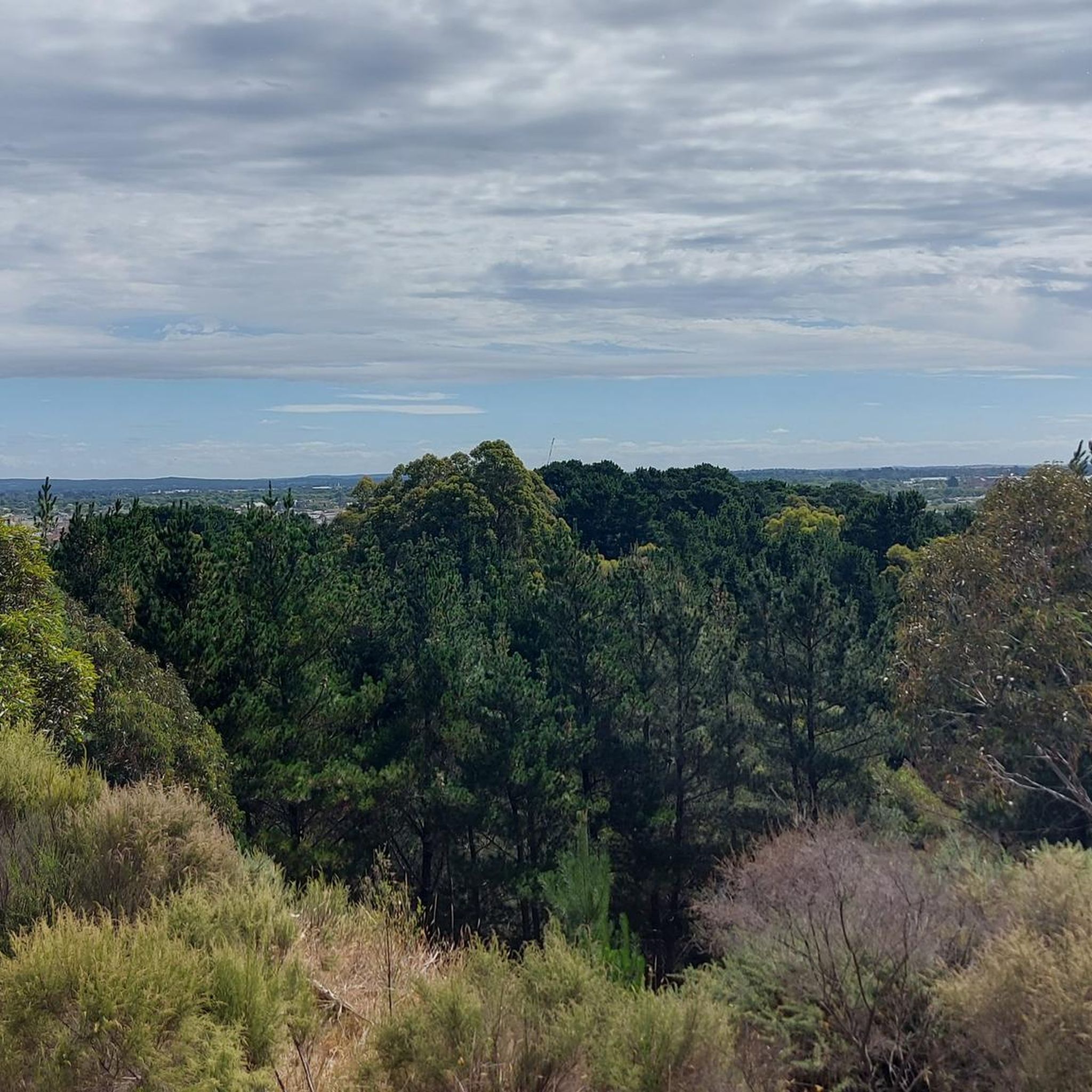
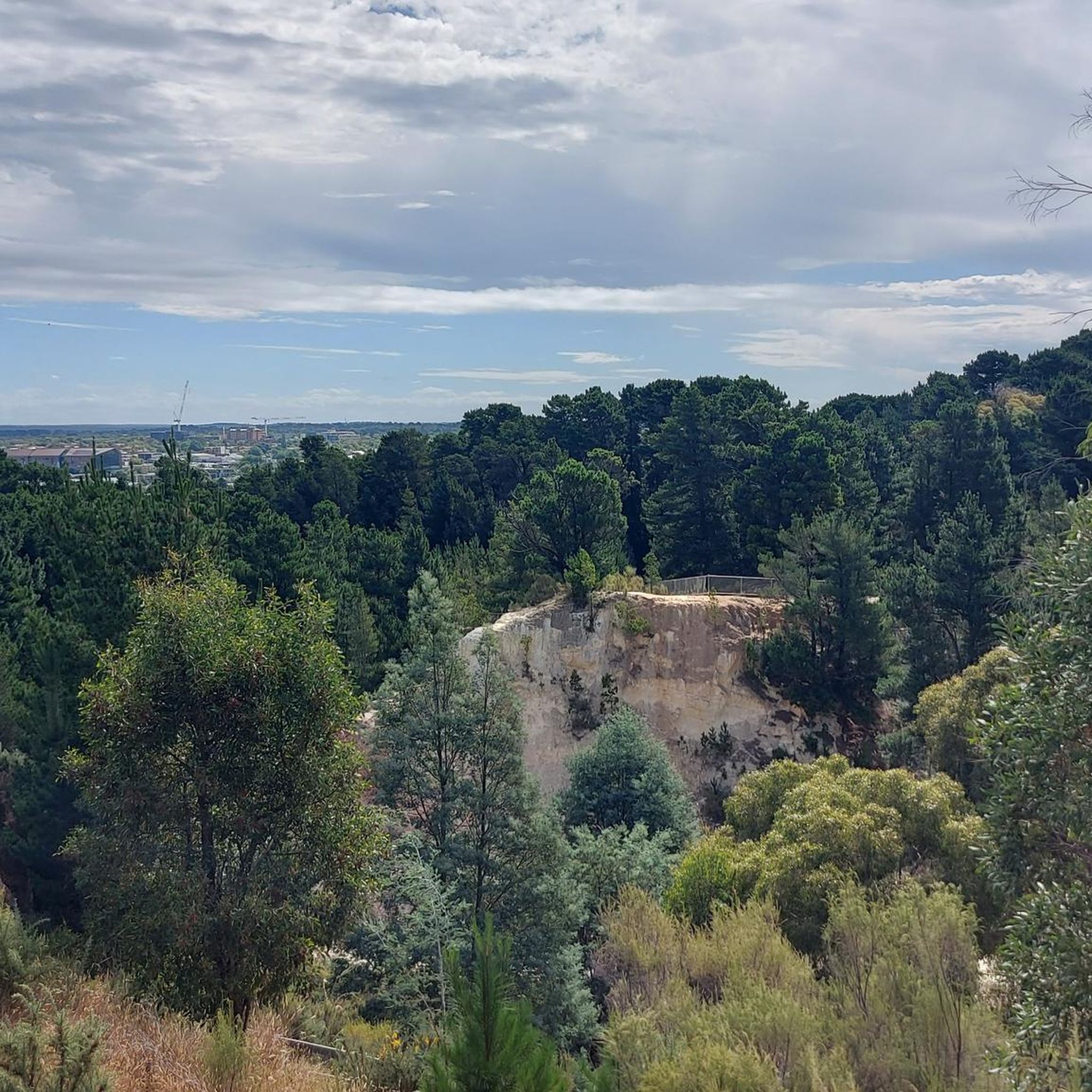
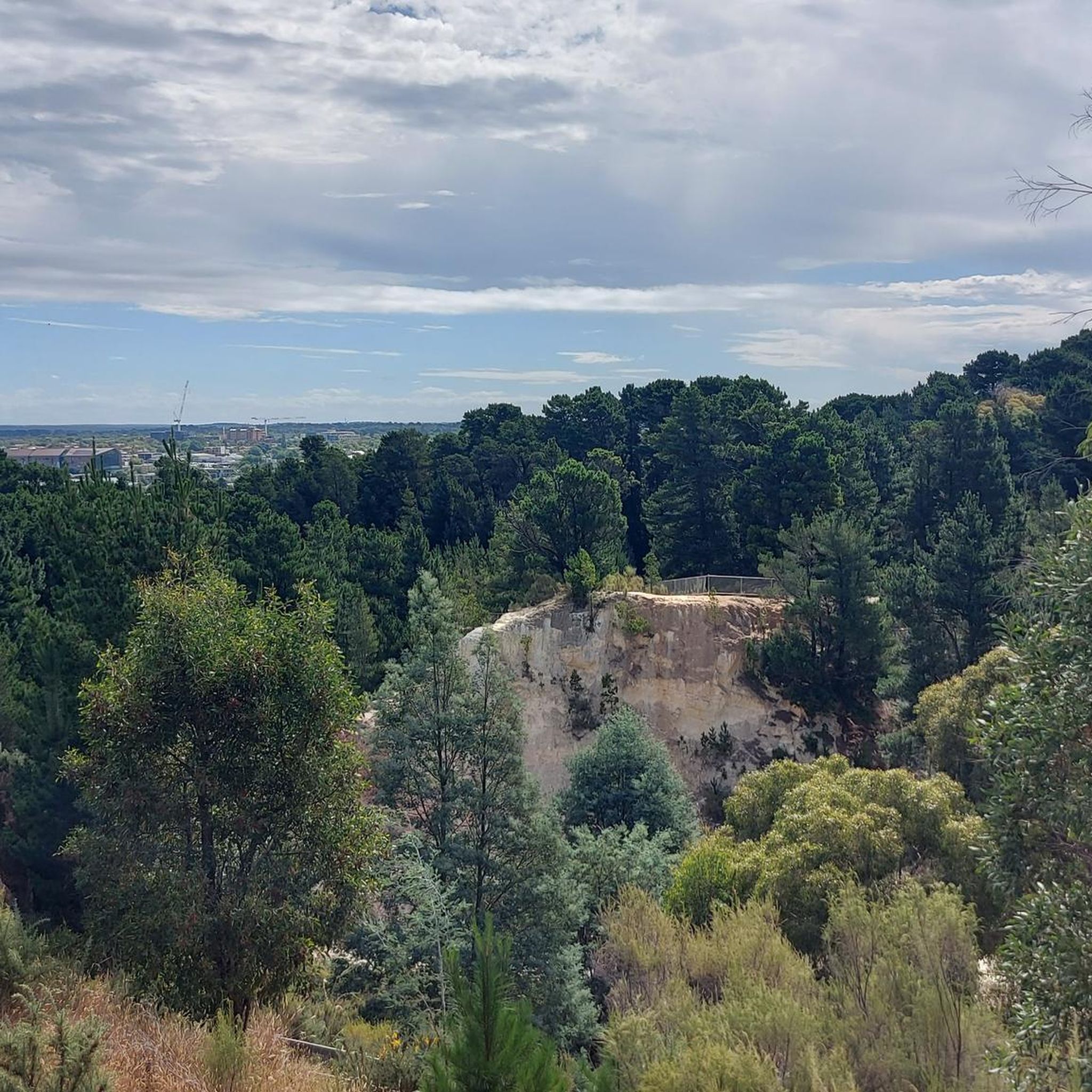
Little technical section with some stairs that have to be walked. Not suitable when wet.
0
0

Frequently Asked Questions
How many gravel bike trails are available in Nerrina Historic Area?
There are 18 gravel bike trails recorded in the Nerrina Historic Area on komoot, offering a variety of experiences for different skill levels.
Are there any easy gravel bike trails suitable for beginners or families?
Yes, while most routes are moderate, there is at least one easy gravel bike trail available. For a moderate option that is often enjoyed by many, consider the Cherry Hill loop from Ballarat, which is 19.9 km long and leads through varied landscapes.
What are the typical lengths of gravel bike trails in Nerrina Historic Area?
The gravel bike trails in Nerrina Historic Area vary in length. You'll find routes ranging from around 20 km, like the Cherry Hill loop from Ballarat, to longer, more challenging rides over 50 km, such as the Steve Moneghetti Track – Lake Wendouree loop from Wendouree.
Are there any challenging gravel bike routes for experienced riders?
Absolutely. For experienced riders seeking a challenge, routes like the View of Wind Farm – Lookout View loop from Ballarat offer significant elevation changes over 51.1 km. Another difficult option is the Steve Moneghetti Track – Lake Wendouree loop from Wendouree, spanning nearly 57 km.
Are there any circular gravel bike routes in the Nerrina Historic Area?
Many of the gravel bike trails in the Nerrina Historic Area are designed as loops. For example, the popular Gravel loop from Ballarat is a 25.4 km circular route, and the Poverty Point Monument loop from Ballarat also offers a circular journey exploring historical sites.
What kind of terrain can I expect on the gravel bike trails?
The Nerrina Historic Area features undulating terrain with a mix of rural roads and paths. You can expect open areas, historical landmarks, and varied landscapes, from gentle climbs to more sustained ascents, providing a diverse riding experience.
What do other gravel bikers enjoy most about the Nerrina Historic Area?
The area is highly rated by the komoot community, with an average score of 4.5 stars. Reviewers often praise the diverse landscape, the mix of historical sites with open country roads, and the varied challenges offered by the undulating terrain.
Are there any specific viewpoints or scenic spots along the gravel trails?
While specific highlights are not detailed in the route descriptions, the View of Wind Farm – Lookout View loop from Ballarat suggests scenic vistas, particularly of the wind farm. The region's open landscapes generally offer expansive views.
What is the best time of year for gravel biking in Nerrina Historic Area?
Given Ballarat's climate, spring (September to November) and autumn (March to May) generally offer the most pleasant weather for gravel biking, with milder temperatures and less extreme heat or cold. Always check local weather forecasts before heading out.
Where can I find parking for gravel biking in Nerrina Historic Area?
Many routes start from Ballarat, suggesting that parking would be available within or on the outskirts of the city. For specific trailheads, it's advisable to check the individual route details on komoot, as they often provide information on starting points and accessibility.
Are there any historical sites or monuments to see along the routes?
Yes, the Nerrina Historic Area is known for its historical significance. The Poverty Point Monument loop from Ballarat specifically highlights exploring historical sites, offering a chance to combine your ride with a glimpse into the region's past.
Most popular routes in Nerrina Historic Area

Get inspired with the komoot mobile app


Explore more
Browse the best Gravel rides in other regions.
