The best gravel rides in Langwarrin Flora And Fauna Reserve
5.0
(7)
11
riders
3
rides
Gravel bike trails in Langwarrin Flora And Fauna Reserve traverse a network of mixed-use gravel and sand tracks through relatively undisturbed bushland. The reserve features undulating topography formed by ancient parallel sand dunes, contributing to diverse plant communities. Riders can expect varied terrain with flat, accessible vehicle tracks and some segments with gentle slopes. This environment provides both exercise and a connection with the natural and historical features of the area.
Best gravel bike trails in Langwarrin Flora And Fauna…
Last updated: July 17, 2026
5.0
(6)
4
riders
Moderate gravel ride. Good fitness required. Mostly paved surfaces. Suitable for all skill levels.
4
riders
Moderate gravel ride. Good fitness required. Mostly paved surfaces. Suitable for all skill levels.

Sign up for free
5.0
(1)
3
riders
45.0km
03:01
420m
420m
Moderate gravel ride. Good fitness required. Mostly paved surfaces. Suitable for all skill levels.
Our route recommendations are based on thousands of hikes, rides, and runs completed by other people on komoot.
Start today with a free account
Your next adventure awaits.
Login or Signup
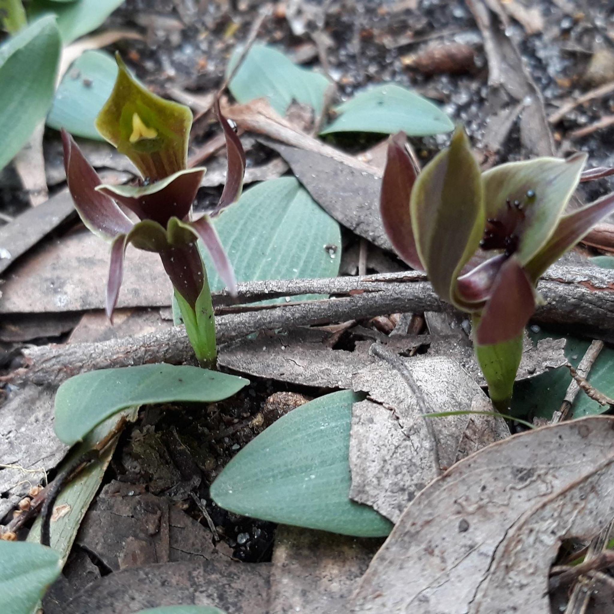
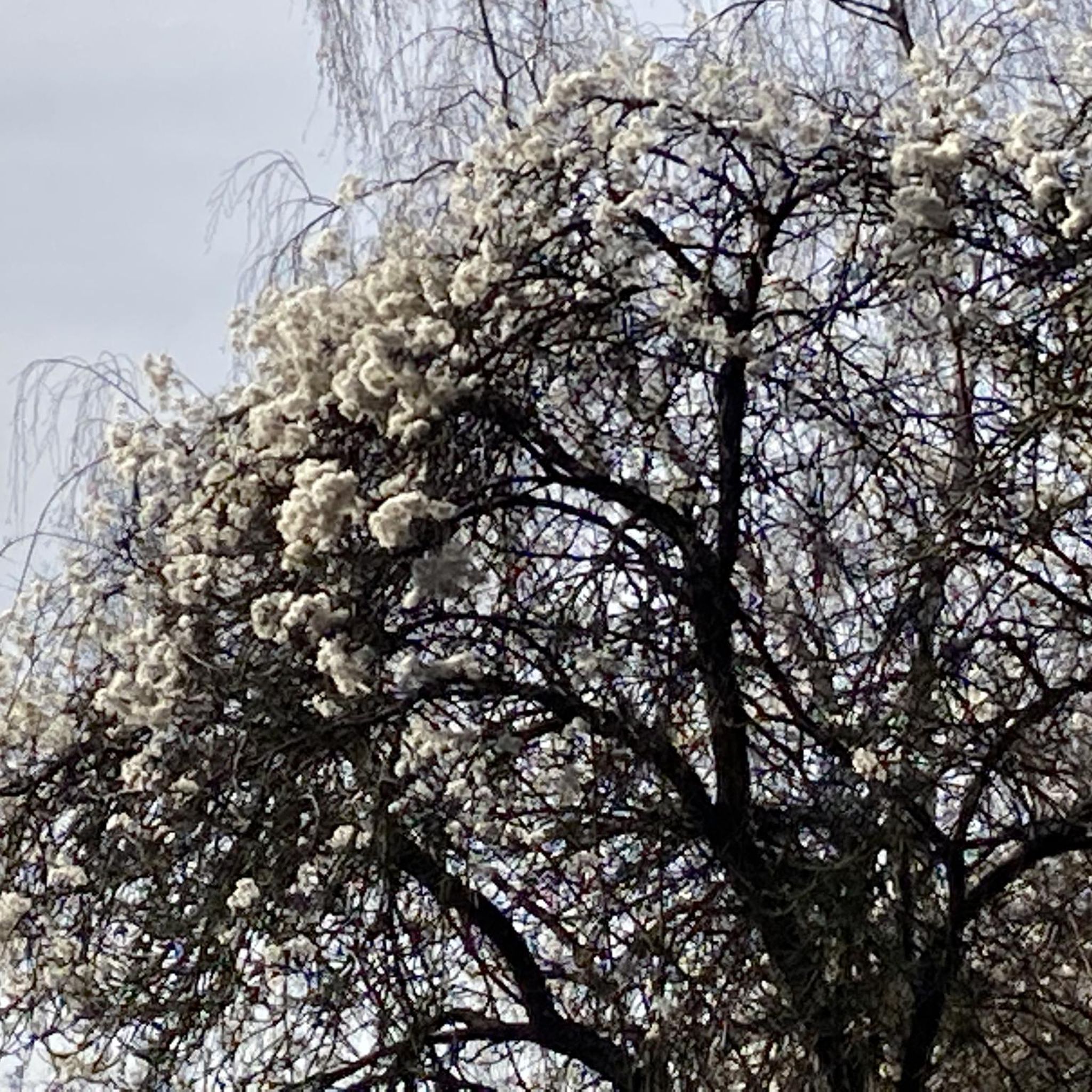


Tips from the Community

Devilbend Reservoir is a decommissioned water supply reservoir that is now heavily stocked with rainbow trout and brown trout, and open to bushwalking and biking around its banks. This body of water is also recognised as an Important Bird Area (IBA) by Bird Life International, where threatened Blue-billed Duck and the White-bellied Sea Eagles can be spotted.
0
0
Devilbend Natural Features Reserve spans 1,005 hectares with two decommissioned water supply reservoirs. Both the bodies of water, the Devilbend Reservoir and Bittern Reservoir, are formed by the Devilbend Creek. The park is perfect for flat ground bushwalking and birdwatching.
0
0

At only 6 kilometres in length the Patterson River is the shortest river in Victoria. Although it's not exactly a true river as it was cut out in 1878 to allow the coastal swampland to drain. Initially the drained swamp was used for farming and dairy cattle. Today the suburb of Patterson Lakes occupies much of the area along with restored wetlands, a golf course, parks, and several small marinas.
0
0
The Edithvale-Seaford Wetlands Environment Area is along Melbourne's eastern corridor, and is an important protected birdlife habitat and seasonal water ecosystems. During the wet seasons, it's full of shallow lagoons, reed fields, and many native and migratory birds. It's very popular for birdwatching, walking, and riding.
0
0
The Down's Community Farm Mural, painted by Jimmy Dvate, is a stunning depiction of local birds and adds a colorful, artistic touch to what was once an ordinary building. The mural honors the ecological importance of the nearby Edithvale-Seaford Wetlands Environment Area.
0
0


Path along the top of the dyke is getting eroded, there's quite a few places now where there are long "splits" in the ground, wide enough for a wheel to fall in and 10-30cm deep. Take care!
0
0

Note that this section is not normally like the photo, so very rideable on a road bike unless after rain as above. Very strong southerly cross winds can take some effort, but a quiet and pleasant connector after main Yarra/Mullum Mullum trails and Eastlink to Carrum to ride back to the city.
1
0
Frequently Asked Questions
What kind of terrain can I expect on gravel bike trails in Langwarrin Flora and Fauna Reserve?
The reserve features a network of mixed-use gravel and sand tracks. You'll find varied terrain, including flat, accessible vehicle tracks and some segments with gentle slopes, all set within relatively undisturbed bushland. The undulating topography, formed by ancient parallel sand dunes, adds to the diverse riding experience.
Are there any beginner-friendly gravel biking options in the reserve?
Yes, many of the vehicle tracks within Langwarrin Flora and Fauna Reserve are flat and accessible, making them suitable for leisurely rides and beginners. The "Centre Break" is noted as a wide, well-made 1.5-kilometer track that runs through the heart of the reserve, offering a pleasant experience through diverse bushland scenery.
How long are the gravel biking routes typically in Langwarrin Flora and Fauna Reserve?
The routes in the reserve vary in length. For example, the Singletrack to Dandenong – Little Bridge loop from City of Frankston is about 35.2 km (21.9 miles), while the Jells Lake – Bellbird Trail loop from Kananook extends to 62.9 km (39.1 miles). Most routes are moderate in difficulty and can take anywhere from 2 to 4 hours to complete.
Are there any circular gravel bike routes available?
Yes, several routes in the reserve are designed as loops. For instance, the Singletrack to Dandenong – Little Bridge loop from City of Frankston and the Jells Lake – Bellbird Trail loop from Kananook are popular circular options, allowing you to start and finish at the same point.
What natural features or wildlife might I encounter while gravel biking here?
Langwarrin Flora and Fauna Reserve is rich in biodiversity. You can expect to see diverse vegetation, including state-significant flora with around 300 indigenous species. The reserve is also home to abundant wildlife, such as echidnas and swamp wallabies, and is a haven for birdwatchers, with 98 recorded bird species. The Owen Dawson Track, for example, meanders through five of the park's vegetation communities.
Can I explore historical sites while gravel biking in Langwarrin Flora and Fauna Reserve?
Absolutely. The reserve has a significant past as a military site from 1886 to 1979. You can explore the 3-kilometer Langwarrin Historical Trail, which features remnants like a stone-capped reservoir, rifle butts, and the fountain of a former hospital site that treated World War I soldiers. The area is also part of an Aboriginal cultural landscape of the Bunurong People.
Is Langwarrin Flora and Fauna Reserve accessible by public transport for gravel bikers?
While the reserve itself is primarily accessed by car, you can plan your journey to nearby towns like Frankston or Kananook via public transport. From there, you might need to cycle a short distance or arrange alternative transport to reach the reserve's entrances. For detailed public transport information, it's best to check local transport schedules.
Where can I park my car when visiting the reserve for gravel biking?
Langwarrin Flora and Fauna Reserve offers designated parking areas for visitors. Specific parking locations can be found at the main entrances to the reserve. For detailed information on parking facilities and access points, you can consult the official Parks Victoria visitor guide for the reserve, available on their website.
What is the best time of year to go gravel biking in Langwarrin Flora and Fauna Reserve?
The reserve is generally enjoyable for gravel biking year-round. However, spring and autumn offer pleasant temperatures and vibrant natural scenery. Some tracks may be seasonally closed, so it's advisable to check the Parks Victoria website for any alerts or track conditions before your visit, especially after heavy rainfall.
Are dogs allowed on the gravel bike trails in Langwarrin Flora and Fauna Reserve?
Langwarrin Flora and Fauna Reserve has specific regulations regarding dogs to protect its sensitive wildlife and natural environment. Generally, dogs are not permitted on walking or cycling trails within the reserve. It's always best to check the latest guidelines on the Parks Victoria website before planning your visit with a pet.
Are there any cafes or facilities near the gravel bike trails?
While the reserve itself is a natural area with limited facilities, you'll find cafes and other amenities in nearby towns such as Langwarrin, Frankston, or Moorooduc. Routes like the Two Bays Flowing Descent – 6 Nutrition Cafe loop from Moorooduc Quarry Reserve suggest that there are options for refreshments within cycling distance of the reserve.
What do other gravel bikers enjoy most about gravel biking in Langwarrin Flora and Fauna Reserve?
The area is highly rated by the komoot community, with an average score of 5.0 stars from over 10 reviews. Reviewers often praise the tranquil escape offered by the relatively undisturbed bushland, the diverse natural features, and the well-maintained mixed-use tracks that cater to various skill levels, making it ideal for both exercise and connecting with nature.
Most popular routes in Langwarrin Flora And Fauna Reserve

Get inspired with the komoot mobile app


Explore more
Browse the best Gravel rides in other regions.
