The best gravel rides in Mount Majura Nature Reserve
4.3
(3)
75
riders
4
rides
Gravel biking in Mount Majura Nature Reserve offers a network of management trails and roads through diverse woodlands and forests, including critically endangered Yellow Box–Blakely's Red Gum Grassy Woodland. The reserve features elevated views from Mount Majura, which stands at 888 to 890 meters above sea level, providing panoramic vistas of the surrounding bushland. Geological interests, such as remnants of volcanic activity and marine fossils, add to the varied terrain. These trails provide a robust experience for gravel bikers seeking…
Last updated: July 8, 2026
38
riders
Hard gravel ride. Very good fitness required. Mostly paved surfaces. Suitable for all skill levels.
4
riders
Hard gravel ride. Very good fitness required. Mostly paved surfaces. Suitable for all skill levels.

Sign up for free
9
riders
74.5km
04:45
930m
930m
Hard gravel ride. Very good fitness required. Mostly paved surfaces. Suitable for all skill levels.
4.0
(1)
8
riders
27.7km
01:52
260m
260m
Moderate gravel ride. Good fitness required. Mostly paved surfaces. Suitable for all skill levels.
Our route recommendations are based on thousands of hikes, rides, and runs completed by other people on komoot.
Start today with a free account
Your next adventure awaits.
Login or Signup

Tips from the Community

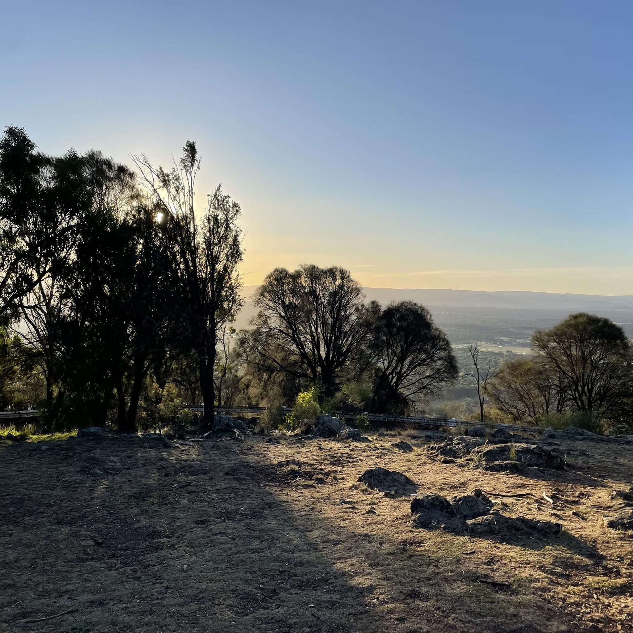
Mount Ainslie Nature Reserve covers 637 hectares of native bushland on Canberra's northeast edge, adjacent to Mount Majura Nature Reserve. There is a network of shared trails that wind through eucalypt forest, leading to beautiful views of Lake Burley Griffin and the city from the summit. Aside from the popular trails, the reserve also protects critically endangered grassy woodlands and diverse habitats that support threatened birds, rare plants, and native wildlife.
0
0
Scrivener Dam is a concrete gravity dam on the Molonglo River, completed in 1963, and is responsible for creating Lake Burley Griffin as a recreational and ornamental body of water. Named after surveyor Charles Scrivener, the dam is about 33 metres high and 319 metres long, with hydraulically operated fish‑belly flap gates that precisely control the lake levels and provide flood management capability. The dam also carries a roadway and the walking/cycling path, and helps form the backdrop to one of Canberra’s key engineering landmarks.
0
0
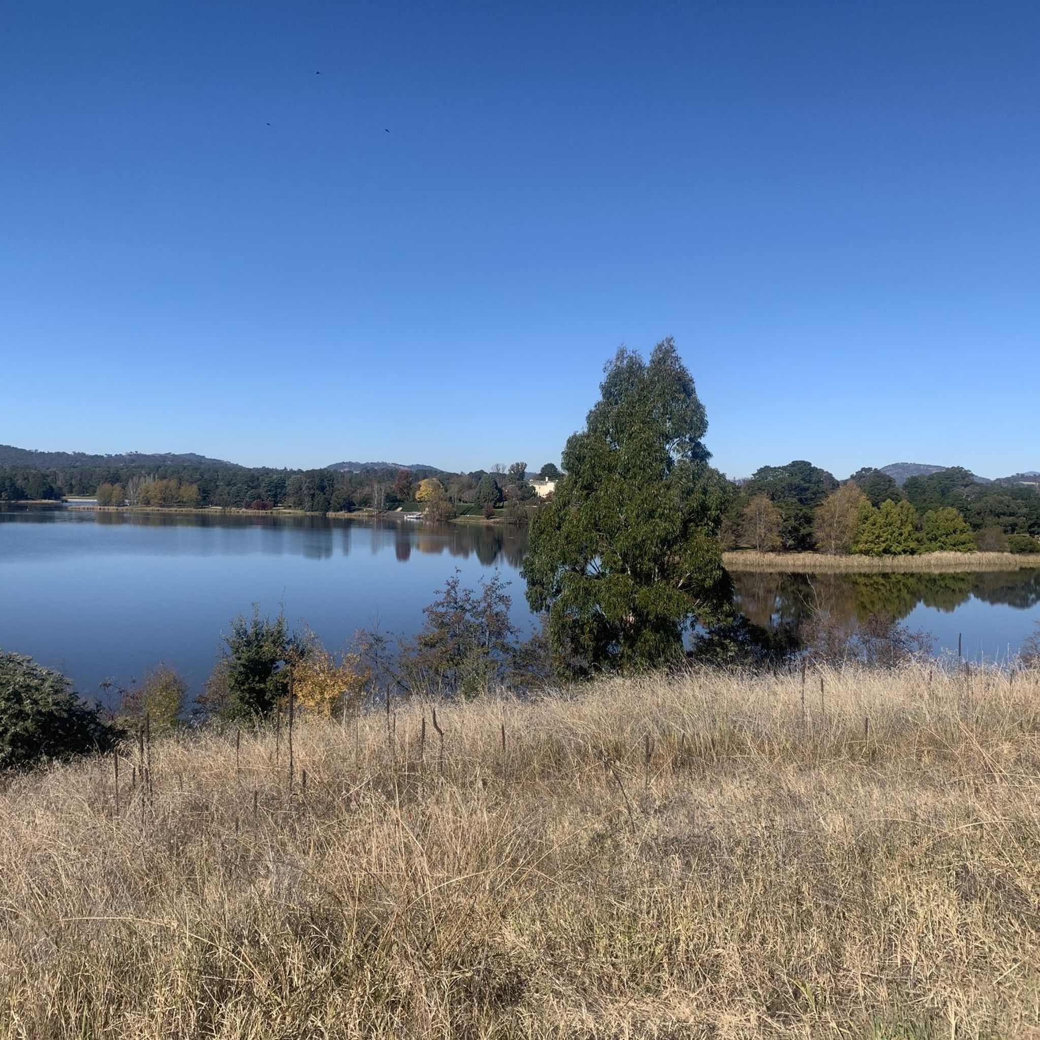
West Lake is the western section of Lake Burley Griffin and is the lake’s largest water expanse, popular for boating, sailing, rowing, and other recreational water activities. The tree‑lined foreshores and natural landscape also support water‑bird life and is a picturesque segment of the walking and cycling route along the lake.
0
0
Yarralumla Bay District Park sits on the southern foreshore of Lake Burley Griffin, between Orana Bay and Blue Gum Point, with a sandy beach and designated areas for swimming, paddling, boating, and other water sports. The park includes shaded picnic areas right along the lake’s cycleway/walkway and has launching ramps, piers, and clubhouses for sailing and rowing activities. It is a popular spot for year-round lakeside walking and water‑based recreation.
0
0

The East Basin is part of Lake Burley Griffin, spanning from the Kings Avenue Bridge towards the Jerrabomberra Wetlands and Dairy Flat. While walking or biking around East Basin, there are often rowers, windsurfers, dragon boaters, and stand-up paddleboarders on the water.
0
0

The National Arboretum in Canberra has beautiful cycling tracks that run across the whole place. It’s perfect for mountain or gravel bikes. The natural scenery combined with the zen of flowing tracks and change in elevation means you could simply ride forever.
0
0


Frequently Asked Questions
How many gravel bike trails are available in Mount Majura Nature Reserve?
Mount Majura Nature Reserve offers a network of 6 gravel bike trails. These routes navigate through diverse woodlands and forests, providing a range of experiences for gravel bikers.
What kind of terrain and difficulty can I expect on gravel bike trails in Mount Majura Nature Reserve?
The gravel bike trails in Mount Majura Nature Reserve feature diverse woodlands, including critically endangered Yellow Box–Blakely's Red Gum Grassy Woodland. You can expect varied terrain with challenging climbs and scenic routes. Most of the available routes, 5 out of 6, are rated as difficult, requiring good to very good fitness.
Are there any scenic viewpoints or natural features to look out for along the trails?
Yes, Mount Majura Nature Reserve is known for its elevated views. At 888 to 890 meters above sea level, Mount Majura offers magnificent panoramic vistas of Canberra and the surrounding bushland. The reserve also features diverse woodlands, geological points of interest from its volcanic past, and opportunities for wildlife observation, including various bird species and kangaroos.
What do other gravel bikers enjoy the most about gravel biking in Mount Majura Nature Reserve?
The area is highly rated by the komoot community, with an average score of 4.5 stars. Reviewers often praise the diverse woodlands, elevated viewpoints, and the well-maintained management trails that offer both scenic rides and challenging climbs.
Are there any family-friendly or easier gravel bike routes in the reserve?
While most routes in Mount Majura Nature Reserve are rated as difficult, offering significant elevation changes and longer distances, there is one moderate route available. For families or those seeking an easier ride, it's recommended to check the specific route details on komoot to ensure it matches your skill level and preferences. The adjacent Majura Pines recreation area also offers dedicated mountain biking trails which might include easier options.
Can I access the gravel bike trails using public transport, or is parking available?
Mount Majura Nature Reserve is easily accessible from north Canberra, with entry points from Hackett, Watson, and the Federal Highway. While specific public transport routes directly to trailheads may vary, several routes can be started from points close to the city center. Parking is generally available at various access points around the reserve, making it convenient for those arriving by car.
What is a good example of a challenging gravel bike route in the area?
For a challenging experience, consider the National Carillon – Forest Singletrack Trail loop from Mapleton Avenue. This extensive route is 39.9 miles (64.2 km) long and features significant elevation gain, offering long stretches through natural bushland and open areas.
Are there any loop trails for gravel biking in Mount Majura Nature Reserve?
Yes, many of the gravel bike routes in Mount Majura Nature Reserve are designed as loops, allowing you to start and finish at the same point. An example is the BentSpoke Brewing Co. – Mount Ainslie Lookout loop from Elouera Street, which is a 17.1 miles (27.5 km) trail leading through urban fringes and natural parkland.
What kind of wildlife might I encounter while gravel biking in Mount Majura Nature Reserve?
Mount Majura Nature Reserve is home to abundant wildlife. You might spot various bird species, including parrots and cockatoos, and potentially threatened woodland birds like the Swift Parrot and Regent Honeyeater. Kangaroos are also frequently seen within the reserve, especially in the early morning or late afternoon.
Are there any cafes or pubs near the gravel bike trails for a post-ride refreshment?
While the reserve itself is a natural area, its proximity to Canberra means there are cafes and pubs within a short distance. For example, the BentSpoke Brewing Co. – Mount Ainslie Lookout loop from Elouera Street starts near urban areas, suggesting options for refreshments are accessible before or after your ride.
What is the best time of year to go gravel biking in Mount Majura Nature Reserve?
The best time to visit Mount Majura Nature Reserve for gravel biking generally aligns with milder weather conditions. Spring and autumn offer pleasant temperatures, making for comfortable rides. Summers can be hot, and winters can be cool, so checking the weather forecast before your ride is always recommended.
Can you recommend a longer gravel bike route for an extensive ride?
For a more extensive ride, consider the Lake Burley Griffin – Scrivener Dam loop from Alinga Street. This route covers approximately 74.7 miles (120.2 km) and includes significant elevation gain, offering a comprehensive tour of the area's diverse landscapes.
Are dogs allowed on the gravel bike trails in Mount Majura Nature Reserve?
Cycling is permitted on roads and designated management trails within Mount Majura Nature Reserve. However, as a nature reserve, rules regarding dogs often apply to protect wildlife. It's best to check the specific regulations for Mount Majura Nature Reserve regarding dogs on trails before planning your ride, as they may need to be on a leash or restricted to certain areas.
Most popular routes in Mount Majura Nature Reserve

Get inspired with the komoot mobile app


Explore more
Browse the best Gravel rides in other regions.
