The best gravel rides in Bogotá D.C.
5.0
(12)
232
riders
17
rides
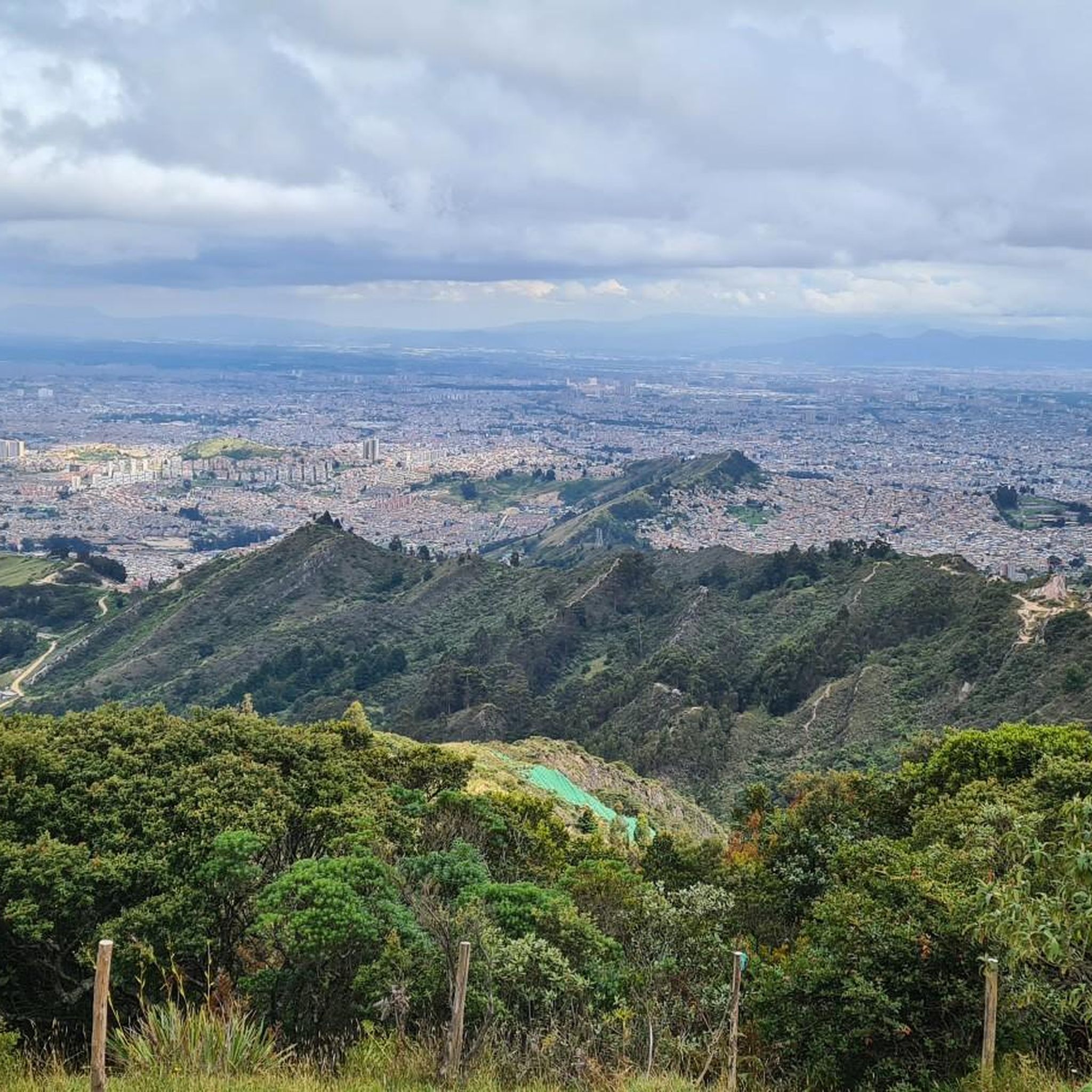
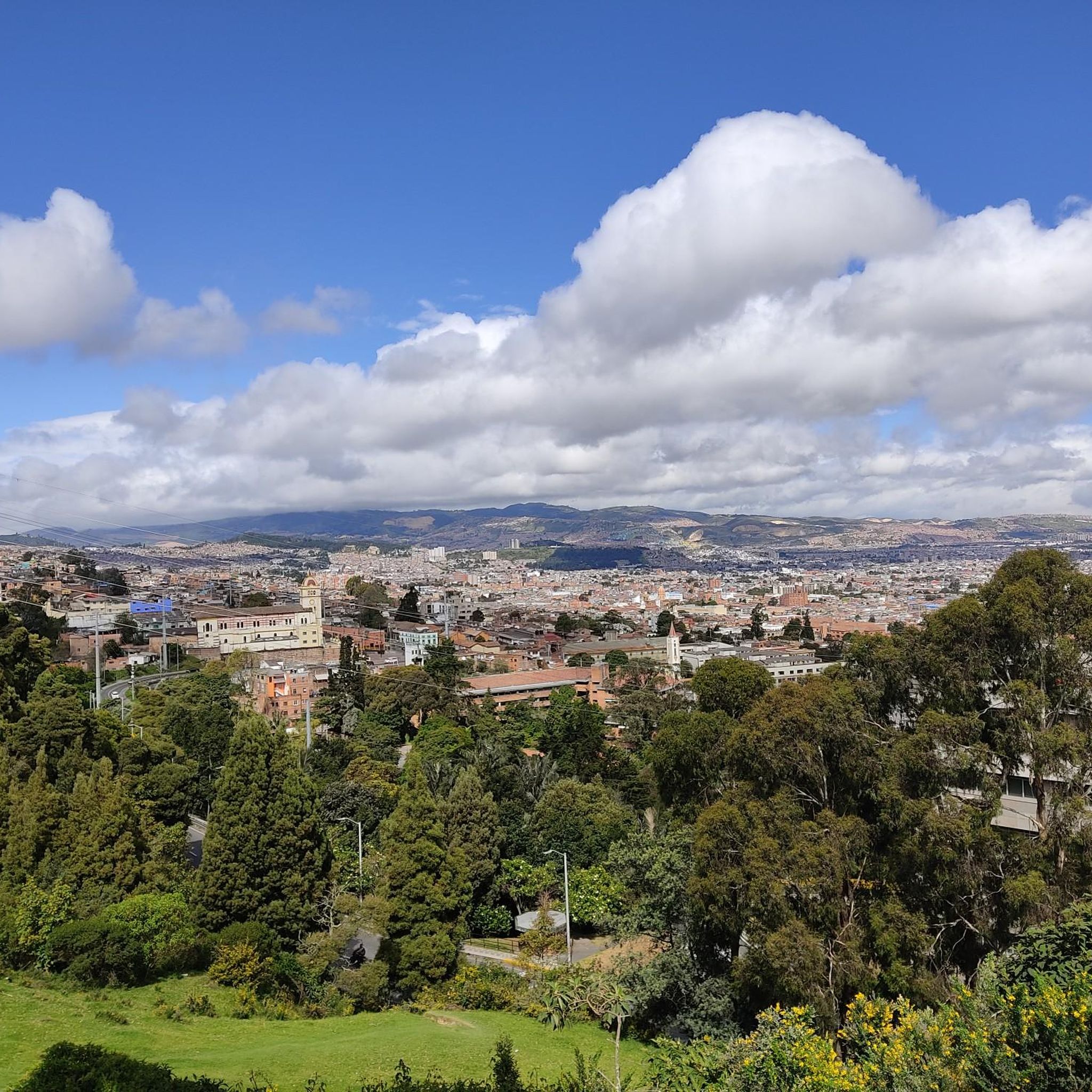
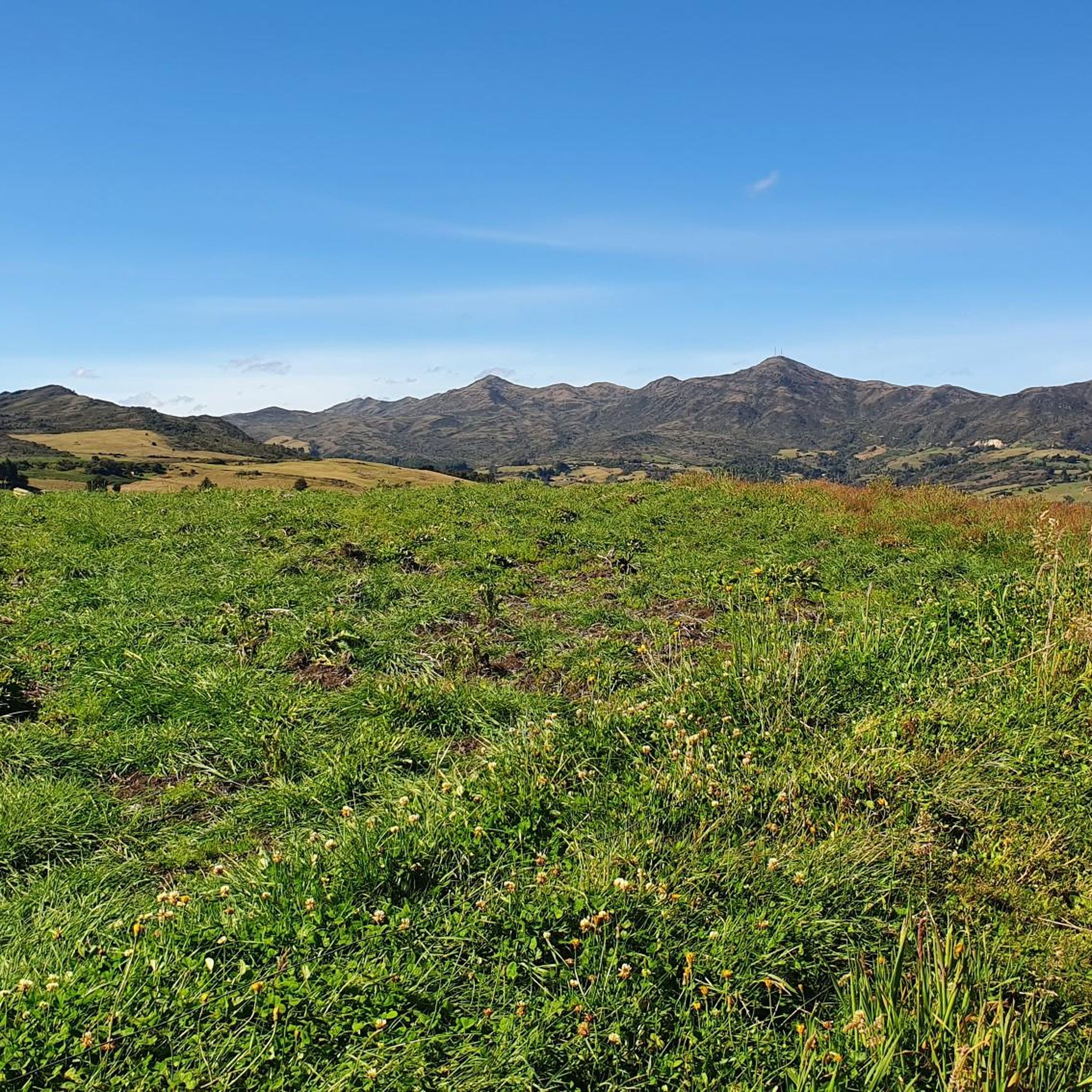
Gravel biking in Bogotá D.C. offers diverse terrain, from high-altitude savannas to the surrounding Andean mountains. The region is characterized by significant elevation changes, providing challenging climbs and rewarding descents. Riders can expect a mix of unpaved roads, forest paths, and open landscapes, with routes often leading through valleys and up to scenic viewpoints.
Best gravel bike trails in Bogotá D.C.
- The most popular gravel bike trail is Alto de la Valvanera – Welcome Sign to Tabio loop from Chía…
Last updated: July 17, 2026
5.0
(2)
43
riders
27.4km
02:14
410m
410m
Moderate gravel ride. Good fitness required. Mostly paved surfaces. Suitable for all skill levels.
5.0
(2)
19
riders
60.4km
04:39
970m
970m
Hard gravel ride. Very good fitness required. Mostly paved surfaces. Suitable for all skill levels.

Sign up for free
5.0
(1)
16
riders
26.0km
02:08
510m
510m
Hard gravel ride. Very good fitness required. Mostly paved surfaces. Suitable for all skill levels.
12
riders
96.2km
07:59
2,470m
2,470m
Hard gravel ride. Very good fitness required. Mostly paved surfaces. Suitable for all skill levels.
17
riders
84.3km
05:35
920m
920m
Hard gravel ride. Very good fitness required. Mostly paved surfaces. Suitable for all skill levels.
Get access to more routes and recommendations from other explorers.
Sign up for free
Already have an account?
Our route recommendations are based on thousands of hikes, rides, and runs completed by other people on komoot.
Start today with a free account
Your next adventure awaits.
Login or Signup




Tips from the Community

Alto de los Patios offers countless dining options to enjoy Bogotá's sporting atmosphere. The area is usually very busy.
1
0


end of the climb, it's good to have a drink and regain strength
0
0

Excellent route
0
0

A place to climb.
0
0

Excellent ride to test your willpower and physical fitness.
0
0
Frequently Asked Questions
What are the typical difficulty levels for gravel biking in Bogotá D.C.?
Gravel biking in Bogotá D.C. offers a range of challenges. Most routes are rated as difficult, making them suitable for experienced riders. There are also several moderate routes available for those looking for a less strenuous ride. Overall, the region is characterized by significant elevation changes, providing both challenging climbs and rewarding descents.
Are there any beginner-friendly gravel bike routes in Bogotá D.C.?
While many routes in Bogotá D.C. are challenging, you can find some moderate options. For instance, the Alto de la Valvanera – Welcome Sign to Tabio loop from Chía is a moderate 16.9-mile (27.3 km) trail that offers a good introduction to the region's gravel terrain without being overly demanding.
What kind of terrain can I expect on gravel bike trails around Bogotá D.C.?
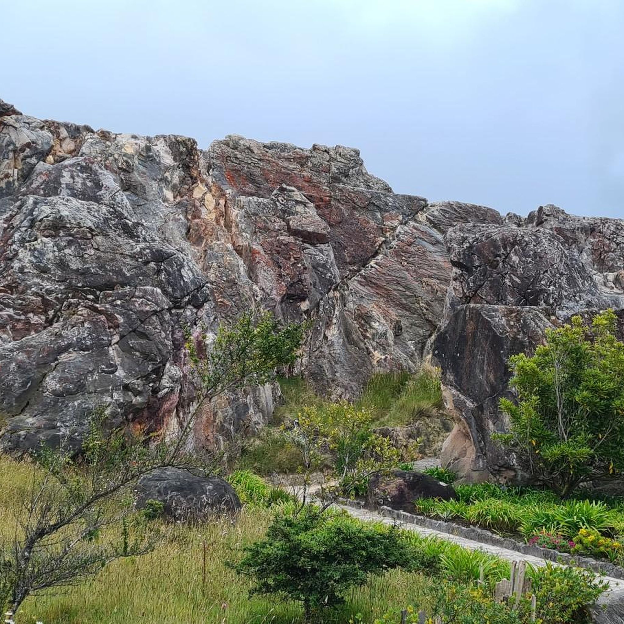
The terrain in Bogotá D.C. is diverse, ranging from high-altitude savannas to the surrounding Andean mountains. Riders will encounter a mix of unpaved roads, forest paths, and open landscapes. Routes often lead through valleys and up to scenic viewpoints, featuring significant elevation changes that define the riding experience.
How long do gravel bike trails typically take to complete in Bogotá D.C.?
The duration of gravel bike trails varies significantly based on distance and difficulty. For example, a moderate route like the Alto de la Valvanera – Welcome Sign to Tabio loop from Chía typically takes around 2 hours and 13 minutes. More challenging and longer routes, such as the Patios Summit – Alto El Once loop from Estación Usaquén, can take upwards of 9 hours and 28 minutes to complete.
What are some scenic viewpoints or natural attractions along the gravel bike routes?
Bogotá D.C. offers stunning natural beauty along its gravel routes. You can find several notable peaks and lakes. For instance, the Patios Summit is a prominent climb, and you can also visit the iconic Monserrate Hill or Cerro de Guadalupe and Christ the Redeemer Statue for panoramic views. For serene water bodies, consider exploring areas near Chisacá Lagoon or Embalse San Rafael.
Are there any loop gravel bike routes available in Bogotá D.C.?
Yes, many of the gravel bike routes in Bogotá D.C. are designed as loops, offering a continuous journey back to your starting point. Examples include the Welcome Sign to Tabio – Lourdes Church loop from La Caro, a difficult 37.9-mile (61.0 km) path, and the View of Chía from Valvanera – Alto de la Valvanera loop from El Rosario, which is a difficult 26.0-km route.
What do other gravel bikers say about the trails in Bogotá D.C.?
The gravel biking routes in Bogotá D.C. are highly regarded by the komoot community, boasting an average rating of 5.0 stars from over 10 reviews. Riders frequently praise the varied terrain, the challenging Andean mountain ascents, and the rewarding high-altitude savannas that make for a unique and memorable experience.
How many gravel bike trails are available in Bogotá D.C.?
There are over 15 gravel bike trails documented in Bogotá D.C. on komoot, offering a wide range of options for different skill levels and preferences. This includes 5 moderate routes and 14 difficult routes, ensuring there's something for every gravel biking enthusiast.
What should I bring for gravel biking in Bogotá D.C. given the varied terrain and elevation?
Given the significant elevation changes and varied terrain, it's advisable to bring layers of clothing to adapt to changing temperatures. Essential gear includes a well-maintained gravel bike, helmet, repair kit, plenty of water, and high-energy snacks. Due to the potential for longer rides, consider bringing navigation tools and a power bank for your devices.
Are there any routes that combine challenging climbs with scenic views?
Absolutely. Many routes in Bogotá D.C. are known for their challenging climbs that lead to spectacular vistas. The Alto de la Valvanera – Welcome Sign to Tabio loop from La Caro is a difficult 82.1 km route that features substantial elevation gain, rewarding riders with expansive views of the surrounding Andean landscape.
Most popular attractions in Bogotá D.C.

Get inspired with the komoot mobile app


