The best gravel rides around Llanrhystyd
4.7
(7)
50
riders
3
rides
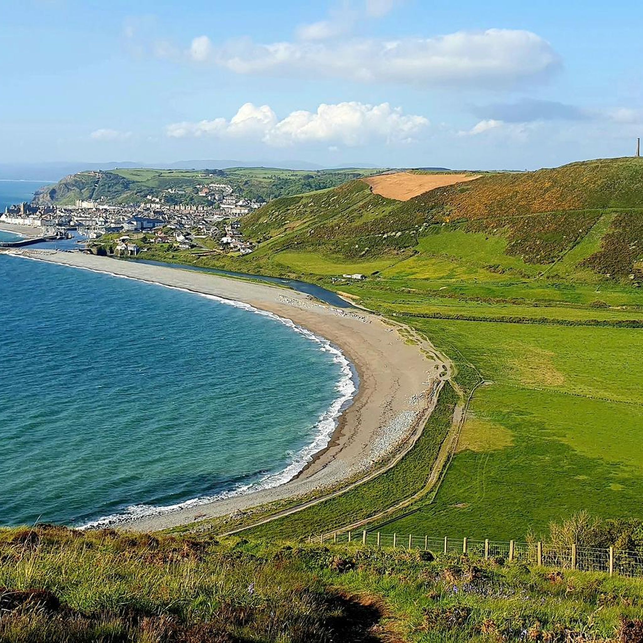
Gravel biking around Llanrhystyd offers diverse terrain, combining coastal paths with quiet country lanes and river valleys. The region features undulating country roads and off-road paths, extending into the foothills of the Cambrian Mountains. This varied topography provides a mix of gentle and challenging routes suitable for gravel bikes. The landscape includes sandy beaches, historical sites, and sections of the Ystwyth Trail.
Best gravel bike trails around Llanrhystyd
- The most popular gravel bike trail is 49er Hill Climb – Ystwyth…
Last updated: July 3, 2026
5.0
(1)
15
riders
63.5km
03:52
720m
720m
Hard gravel ride. Very good fitness required. Mostly paved surfaces. Suitable for all skill levels.
5.0
(4)
22
riders
31.0km
01:41
210m
210m
Moderate gravel ride. Good fitness required. Mostly paved surfaces. Suitable for all skill levels.

Sign up for free
4.0
(3)
14
riders
67.5km
03:39
520m
520m
Hard gravel ride. Very good fitness required. Mostly paved surfaces. Suitable for all skill levels.
Our route recommendations are based on thousands of hikes, rides, and runs completed by other people on komoot.
Start today with a free account
Your next adventure awaits.
Login or Signup
Tips from the Community

The cycle network signposting was very good, and the bridge was an easy, safe way of getting into and out of town.
0
0

self service cafe, make your own coffee, lovely cakes and a honesty box. quirky decor. really lovely place. If you are lucky enough to meet the owner, she is lovely to.
0
0

This place is a gem. A bit of an oasis in a desert if you are on your bike and want a hot drink or to fill your water bottles. It is an honesty cafe in a house opposite Moduron Hafod Garage. Especially helpful if you are doing the Trans Cambrian Way in 3 days, just stay on the road at Ysbyty Ystwyth and drop down to Pont-rhyd-y-groes. You will have to climb back up to rejoin the route though (Hafodty road is most direct but steep!)
0
0

What I want to know is what have the European union ever done for us? A beautiful bridge across the river on the national cycle network
0
0

Fun gravel track through the nature reserve
0
0

A block down from where the pin is -- Mario and Kiara are the best panini and cappuccino makers in Aberystwyth!
1
0

This is a beautiful stretch of about 6 miles, with smooth gravel and open views. There's a short section of horrible road to get to Tregaron at the end but nothing too desperate (such a shame they haven't invested and extended this right into town!).
0
0

The Ystwyth Trail is a 32.1 km / 20 mile cycle route and footpath linking Aberystwyth and Tregaron. Part of the trail follows the track of the old Great Western Railway line.
5
1
Frequently Asked Questions
How many gravel bike trails are available around Llanrhystyd?
There are 5 gravel bike routes detailed for the Llanrhystyd area. These routes offer a variety of experiences, from moderate rides to more challenging trails with significant climbs.
What kind of terrain can I expect on gravel bike trails around Llanrhystyd?
The terrain around Llanrhystyd is very diverse, offering a mix of coastal paths, quiet country lanes, and river valleys. You'll encounter undulating country roads and more strenuous paths with significant elevation gains, especially as you head towards the foothills of the Cambrian Mountains. Some sections may be unpaved and challenging, ideal for gravel bikes.
Are there any moderate gravel bike routes in the Llanrhystyd area?
Yes, there are 2 moderate gravel bike routes. One popular option is the Ystwyth Trail – Aberystwyth Seafront and Pier loop from Aberystwyth, which is 19.7 miles (31.7 km) long and combines sections of the Ystwyth Trail with scenic coastal views.
What are some challenging gravel bike routes near Llanrhystyd?
For those seeking a challenge, there are 3 difficult gravel bike routes. A notable one is the 49er Hill Climb – Ystwyth Trail loop from Aberystwyth, a 39.0-mile (62.8 km) trail featuring significant elevation gain and sections of the Ystwyth Trail. Another demanding option is the Cors Caron Nature Reserve – Ystwyth Trail loop from Aberystwyth, which is 41.9 miles (67.5 km) long and takes you through the nature reserve.
What landmarks or natural features can I see along the gravel bike trails?
Many routes offer stunning views of the Cardigan Bay coastline. You might also encounter ancient hillforts like Gaer Penrhôs, Castell Bach, and Castell Mawr, which crown hilltops. Some trails follow river valleys, and you can explore sections of the Ystwyth Trail. Near Aberystwyth, you can visit the Aberystwyth Beachfront, Aberystwyth War Memorial, or the Wellington Monument, Pen Dinas.
Are there any circular gravel bike routes in the area?
Yes, all the gravel bike routes listed for Llanrhystyd are designed as loops, allowing you to start and finish at the same point. For example, the Lisburne Mine Water Wheel – Lisburne Mine Waterwheel loop from Llanilar is a 40.2-kilometer (25.0-mile) circular route.
What do other gravel bikers enjoy most about cycling in Llanrhystyd?
The area is highly rated by the komoot community, with an average score of 4.8 stars from over 9 reviews. Reviewers often praise the diverse Ceredigion landscapes, the stunning coastal views, and the challenging climbs that make for a rewarding gravel biking experience.
Is Llanrhystyd a good destination for gravel biking with families?
While the listed routes include moderate and difficult options, the region's network of quiet country lanes and off-road paths offers potential for family-friendly rides. Look for routes that stick to less strenuous sections of the Ystwyth Trail or quieter country roads, keeping in mind the varied topography can include significant elevation changes.
Can I bring my dog on gravel bike trails around Llanrhystyd?
Many public bridleways and tracks in Ceredigion are suitable for cycling and can be enjoyed with a well-behaved dog, provided they are kept under control. Always check local signage and respect any restrictions, especially in nature reserves or areas with livestock. Be mindful of other trail users and wildlife.
What is the best time of year for gravel biking in Llanrhystyd?
Ceredigion offers good cycling opportunities throughout much of the year. Spring and autumn generally provide pleasant temperatures and beautiful scenery. Summer can be great for coastal rides, but be prepared for more visitors. Winter rides are possible, but check weather conditions as some unpaved sections might become muddy or slippery.
Are there opportunities for cafe stops or refreshments along the routes?
While specific cafe stops are not detailed for every route, the region has villages and towns like Aberystwyth (which is a starting point for several routes) that offer various amenities including cafes, pubs, and accommodation. Planning your route to pass through these locations will allow for refreshment breaks.
What are the typical distances for gravel bike trails in this area?
The gravel bike trails around Llanrhystyd vary significantly in length. You can find routes ranging from approximately 19.7 miles (31.7 km) for a moderate ride to longer, more challenging trails up to 41.9 miles (67.5 km) in length.
Is there public transport access to the gravel biking trailheads?
While specific public transport links to every trailhead are not detailed, towns like Aberystwyth, which serve as starting points for several routes, are generally well-connected by public transport. It's advisable to check local bus or train schedules for the most up-to-date information on reaching your desired starting point.
Most popular attractions around Llanrhystyd

Get inspired with the komoot mobile app


Explore more
Browse the best Gravel rides in other regions.
