The best gravel rides around Shincliffe
4.1
(52)
295
riders
29
rides
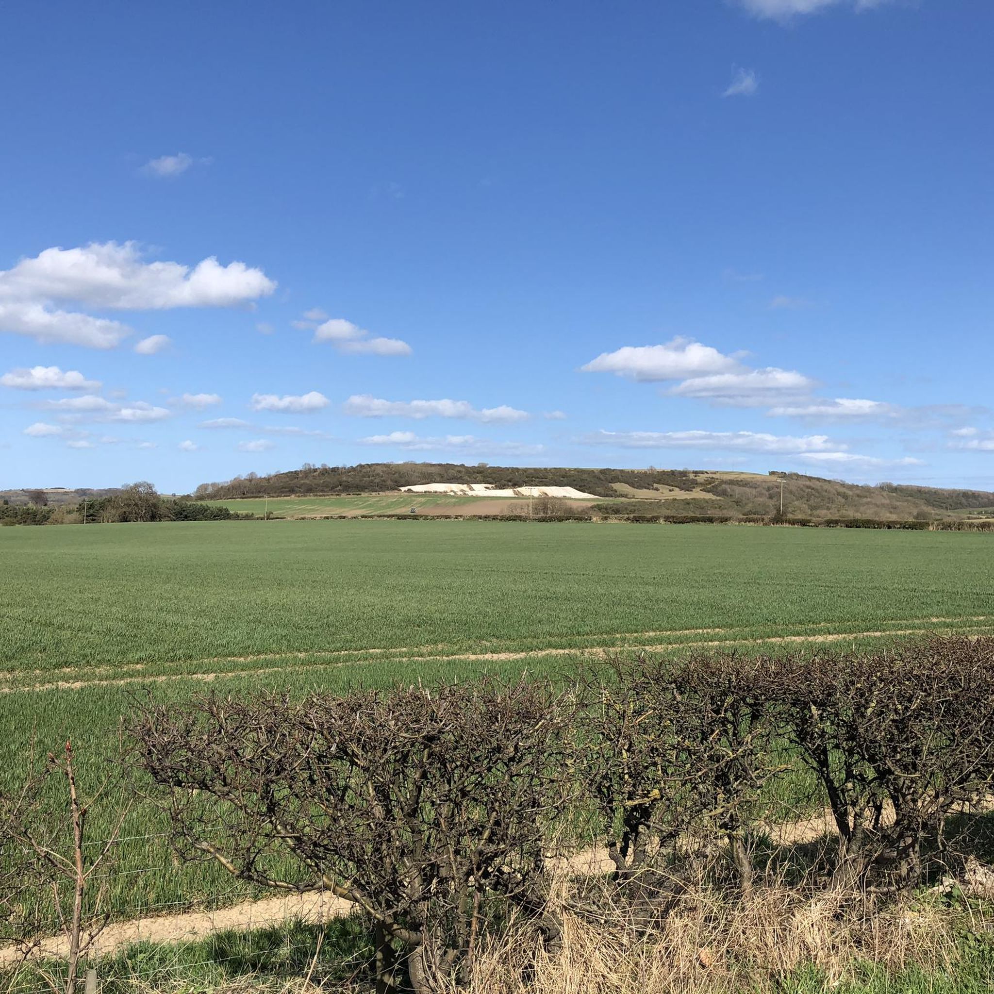
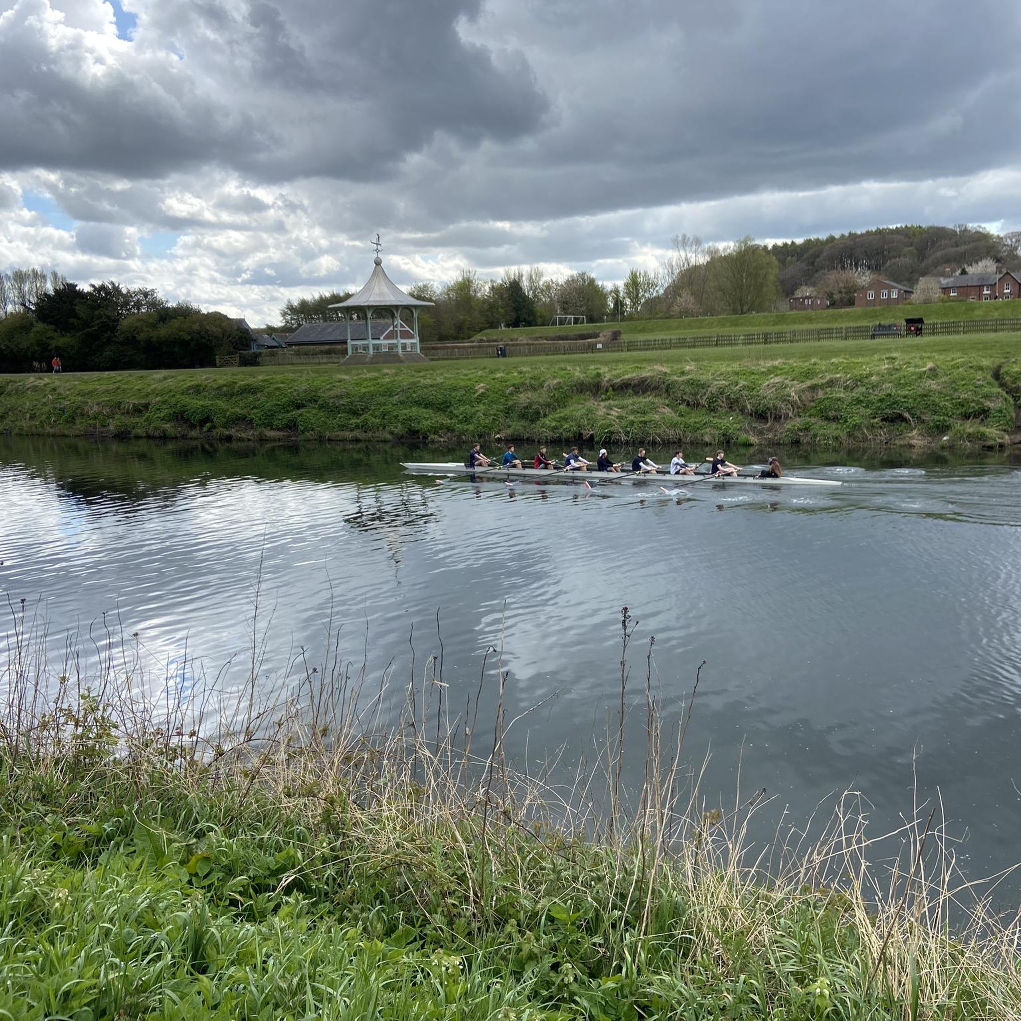
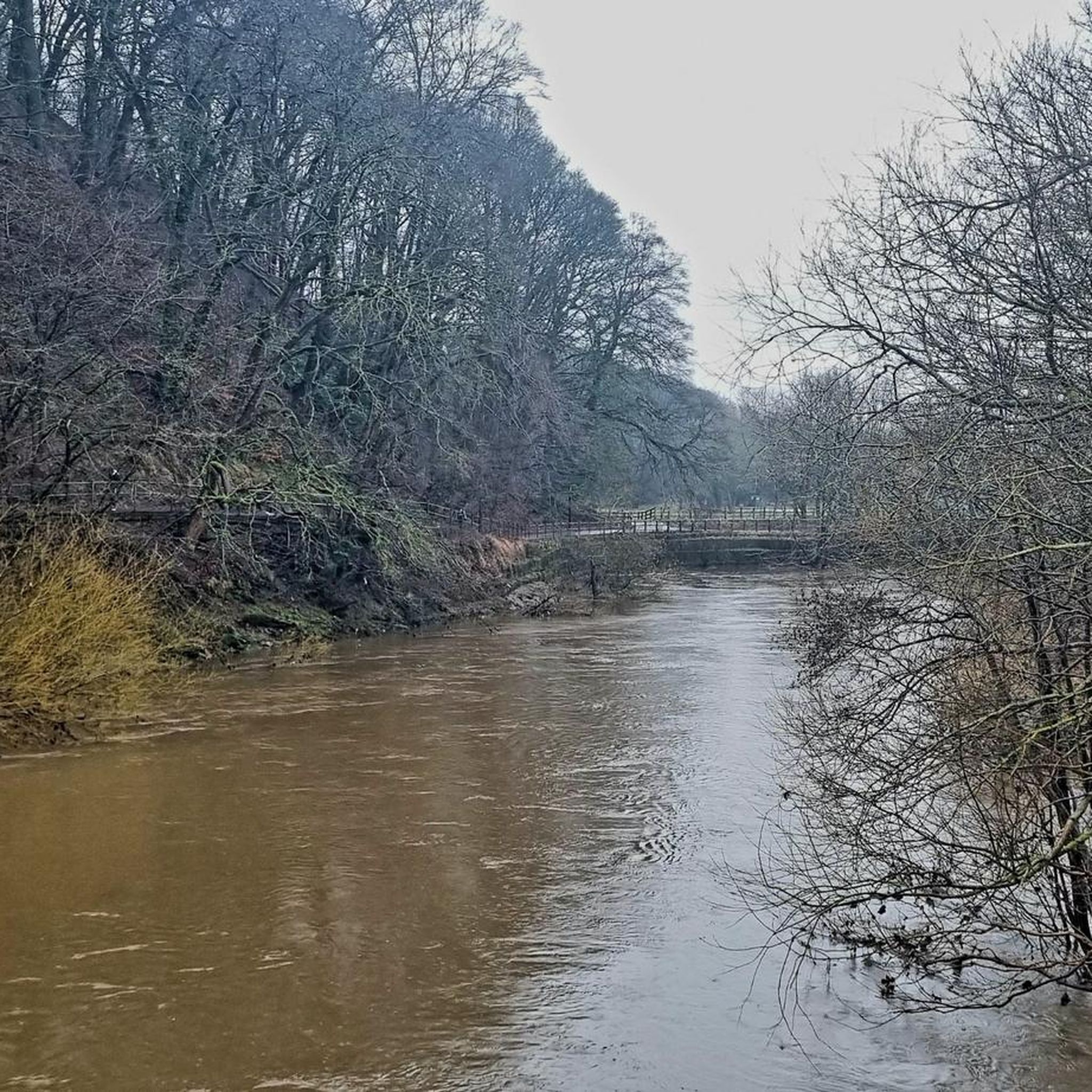
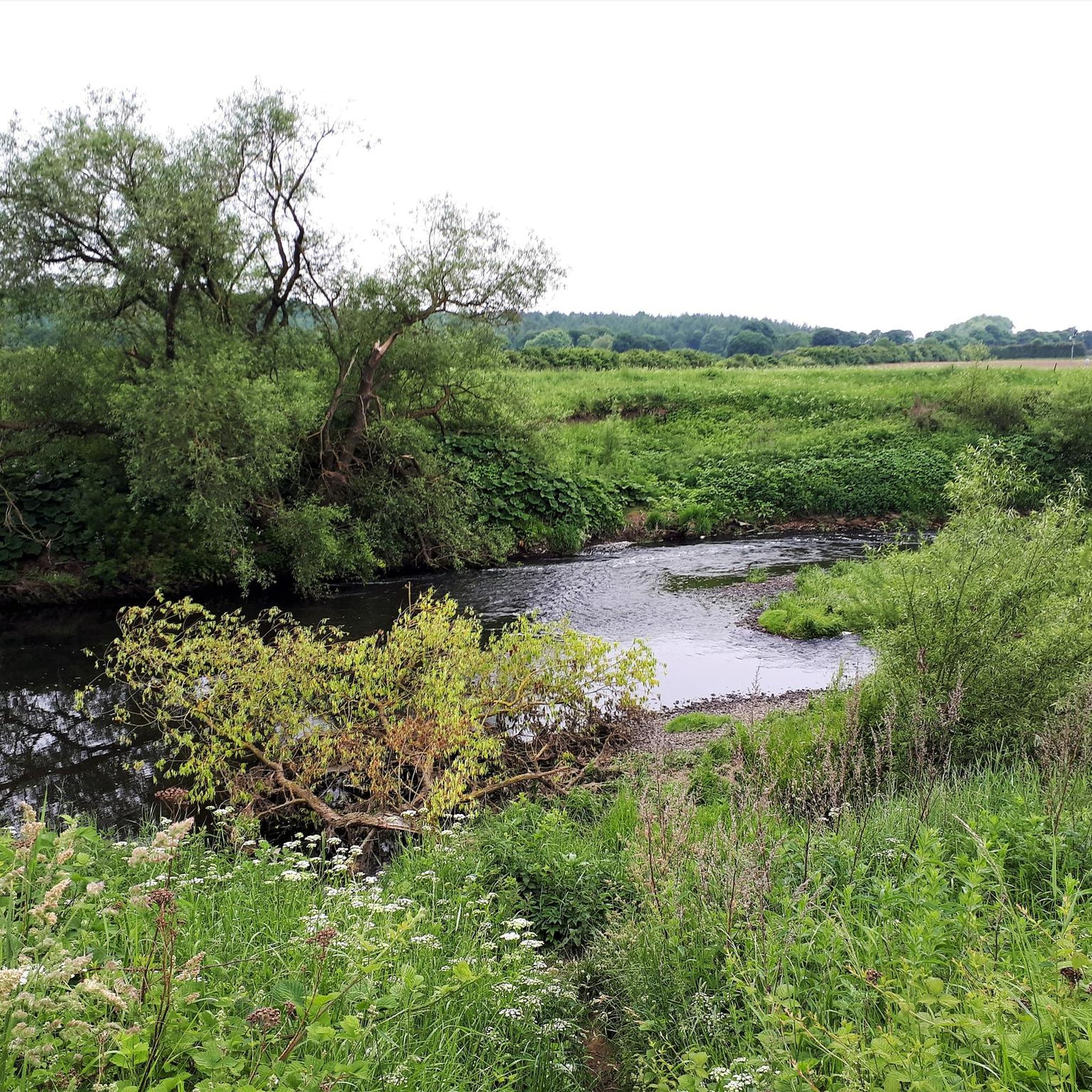
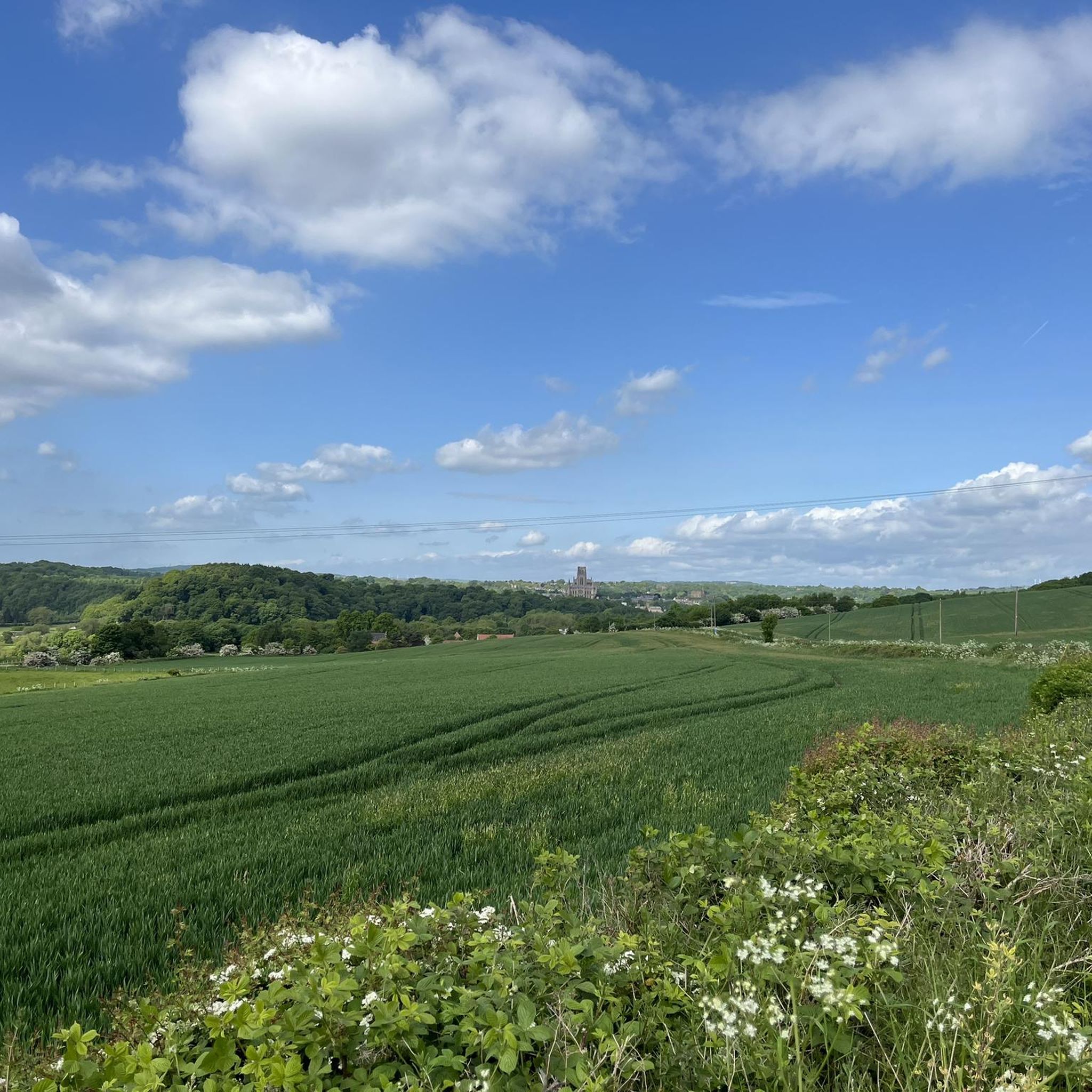
Gravel biking around Shincliffe offers a diverse landscape characterized by the meandering River Wear, wooded corridors, and varied terrain. The region features a mix of paved sections, gravel paths, and natural surfaces, with opportunities for varied elevation gains. Ancient semi-natural oak woods are found in denes and gorges, contributing to a landscape with high scenic value. Shincliffe's routes provide a chance to experience the area's beauty away from main roads, traversing quiet, scenic rural paths.
Best gravel bike trails around…
Last updated: October 20, 2026
3.0
(1)
35
riders
45.3km
02:43
430m
430m
Moderate gravel ride. Good fitness required. Mostly paved surfaces. Suitable for all skill levels.
4.6
(5)
26
riders
34.7km
02:00
390m
390m
Moderate gravel ride. Good fitness required. Mostly paved surfaces. Suitable for all skill levels.

4.0
(7)
22
riders
25.1km
01:33
270m
270m
Moderate gravel ride. Good fitness required. Mostly paved surfaces. Suitable for all skill levels.
5.0
(3)
19
riders
31.6km
01:40
200m
200m
Moderate gravel ride. Good fitness required. Mostly paved surfaces. Suitable for all skill levels.
5.0
(1)
11
riders
79.8km
04:49
1,030m
1,030m
Hard gravel ride. Very good fitness required. Mostly paved surfaces. Suitable for all skill levels.
Get access to more routes and recommendations from other explorers.
Already have an account?
Our route recommendations are based on thousands of hikes, rides, and runs completed by other people on komoot.
Start today with a free account
Your next adventure awaits.
Tips from the Community

Hard packed former railway, now a popular walkway for cyclists and walkers. A good route to Bishop Auckland and beyond. Can get busy on weekends.
0
0

From Hownsgill Viaduct you can see for miles around whilst standing on the old railway bridge. The actual bridge has elevated side wall protector barriers, this to stop anything going over the side, the drop below is considerably higher than a house. There were high winds on the bridge on the day I rode over, the barriers also protect from the weather. You get very good views over both sides of the bridge.
0
0


Viaduct is now open, the paving is slightly bumpy though!
0
0

Croxdale Viaduct, which takes the East Coast Main Line over the River Wear near Croxdale and Sunderland Bridge, is an impressive 11-arch span built by the North Eastern Railway in 1872.
0
0

An easy track with techy bits like roots, sloping sides and a decent climb needing a bit of speed.
0
0

I drove down this former railway line from the top with the wind at my back. What a great experience and easy way to move quickly through the landscape.
1
0

Willington is a former mining town based on the Brandon to Bishop Auckland disused railway, which use to serve the coal mining industry. It's colliery closed in 1967. There are some local shops and plenty of benches, so serves as a good rest stop.
1
0
Frequently Asked Questions
How many gravel bike trails are available around Shincliffe?
There are over 40 gravel bike routes in the Shincliffe area, offering a wide range of options for different skill levels and preferences.
Are there any easy gravel bike trails suitable for beginners or families?
Yes, Shincliffe offers several easier routes. For a relatively gentle ride, consider the National Cycle Route – River Deerness loop from Durham School, which is about 19.7 miles (31.6 km) and follows established cycle paths and river valleys.
What are some challenging gravel bike routes for experienced riders?
For a more demanding experience, the Derwenthaugh Country Park Pond – Derwent Walk loop from Durham is a difficult 58.2 miles (93.7 km) path with significant elevation changes. Another challenging option is the View of Lanchester Valley – Lanchester Valley Way loop from Durham, which covers nearly 48 km with over 500 meters of ascent.
Are there any circular gravel bike routes in Shincliffe?
Many of the gravel routes in Shincliffe are circular. For example, the River Deerness – Deerness path loop from Butterby Oxbow is a popular moderate circular route covering 28.1 miles (45.3 km) along the river.
What kind of scenery or viewpoints can I expect on Shincliffe's gravel trails?
The trails often feature river valleys, country parks, and scenic views. You can enjoy sights like the View of Durham Cathedral from Prebends Bridge on routes such as the View of Durham Cathedral – Sunderland Bridge loop from Durham. Many routes also pass through areas like Derwenthaugh Country Park, offering natural landscapes.
What attractions or landmarks are near the gravel biking routes?
Several historical and natural attractions are close to the trails. You can explore sites like Durham Castle, the UNESCO World Heritage Site Durham Cathedral, or Lumley Castle. Many routes offer glimpses of these historic structures.
What do other gravel bikers say about the trails in Shincliffe?
The komoot community highly rates the gravel trails in Shincliffe, with an average score of 4.2 stars from over 60 reviews. Riders often praise the diverse terrain, which includes a mix of paved sections, gravel paths, and natural surfaces, as well as the beautiful riverside scenery.
Are there any cafes or pubs along the gravel bike routes in Shincliffe?
While specific cafes and pubs directly on every route are not detailed in the route descriptions, many trails start or pass near towns and villages like Durham, where you'll find various amenities to refuel. It's advisable to check local maps for specific establishments along your chosen route.
What is the best time of year to go gravel biking in Shincliffe?
The region's trails are generally enjoyable throughout the year. Spring and autumn offer pleasant temperatures and vibrant scenery. While winter riding is possible, some natural surfaces might be muddier, so checking local weather conditions is recommended.
Is parking available near the gravel bike trails in Shincliffe?
Many routes in Shincliffe start from or pass through areas with public parking, particularly in and around Durham. Specific parking details can often be found on individual route pages on komoot, or by checking local council websites for car park locations.
How long do gravel bike routes in Shincliffe typically take to complete?
Route durations vary significantly based on distance and difficulty. Shorter, moderate routes like the National Cycle Route – River Deerness loop can take around 1 hour 40 minutes, while longer, more difficult routes such as the Derwenthaugh Country Park Pond – Derwent Walk loop can take over 6 hours.
Most popular attractions around Shincliffe

Get inspired with the komoot mobile app


Explore more
Browse the best Gravel rides in other regions.
