The best walks and hikes around Kaltensundheim
4.6
(7007)
23,803
hikers
21
hikes
Hiking around Kaltensundheim offers diverse trails within the Rhön Mountains, a low mountain range known for its expansive views and distinctive basalt formations. The region features open distances, forested areas like the Rhönwald, and prominent hills such as the Ellenbogen. Trails often traverse meadows, provide panoramic vistas, and showcase unique geological features.
Best hiking trails around Kaltensundheim
- The most popular hiking route is Grimmelbach Reservoir – Planet Trail Hohe Rhön loop from Hohe Rhön, a 5.5 miles (8.8 km)…
Last updated: October 5, 2026
4.0
(6)
14
hikers
8.84km
02:26
140m
140m
Moderate hike. Good fitness required. Easily-accessible paths. Suitable for all skill levels.
4.3
(3)
10
hikers
13.0km
03:41
270m
270m
Hard hike. Good fitness required. Sure-footedness, sturdy shoes and alpine experience required.

4.5
(6)
16
hikers
16.6km
04:42
370m
370m
Moderate hike. Good fitness required. Easily-accessible paths. Suitable for all skill levels.
4.9
(39)
16
hikers
8.02km
02:09
100m
100m
Moderate hike. Good fitness required. Easily-accessible paths. Suitable for all skill levels.
5.0
(2)
17
hikers
Easy hike. Great for any fitness level. Easily-accessible paths. Suitable for all skill levels.
Get access to more routes and recommendations from other explorers.
Already have an account?
Our route recommendations are based on thousands of hikes, rides, and runs completed by other people on komoot.
Start today with a free account
Your next adventure awaits.
Tips from the Community

The Romanesque fortified church was built in 1495 on the highest elevation in the village. Source:
2
0

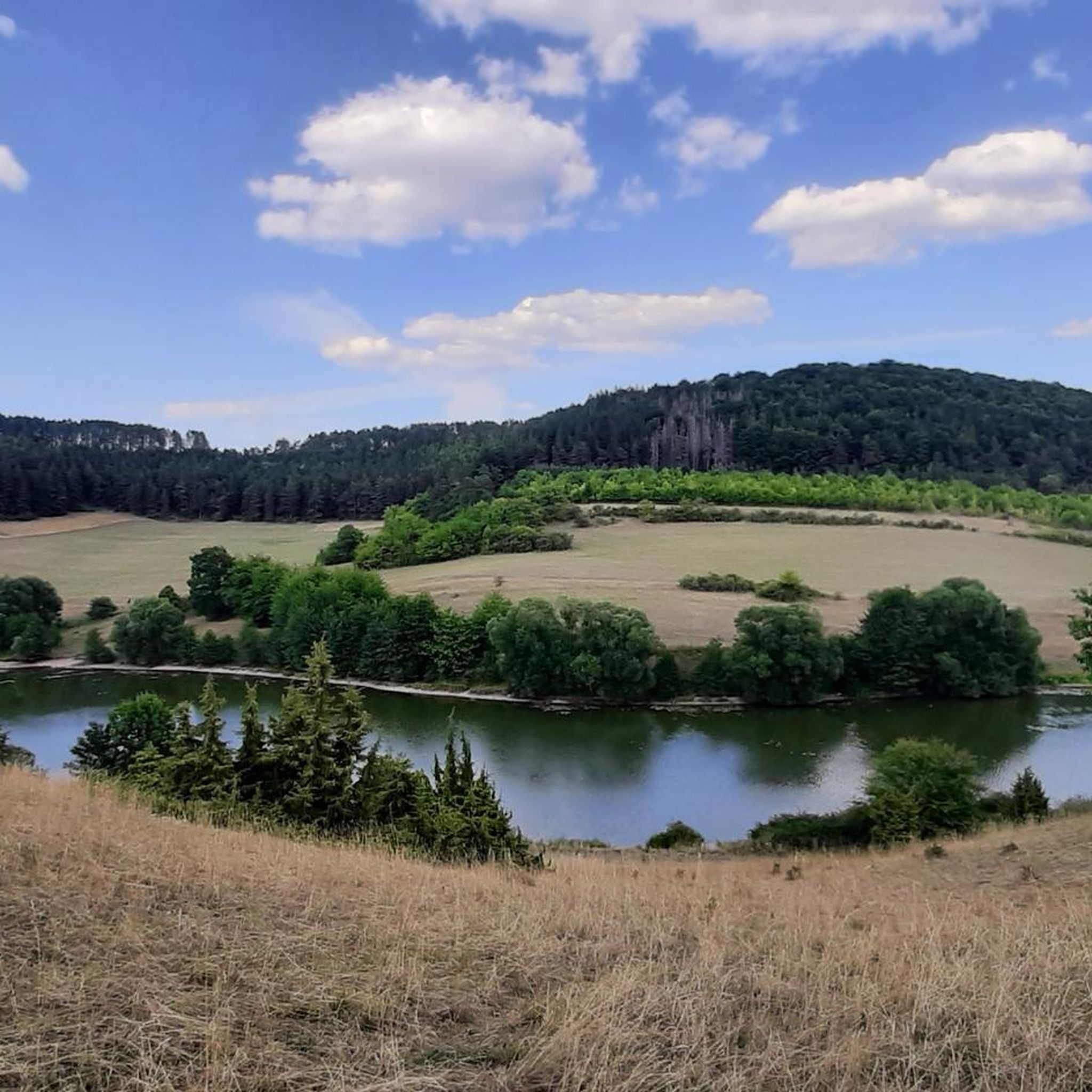
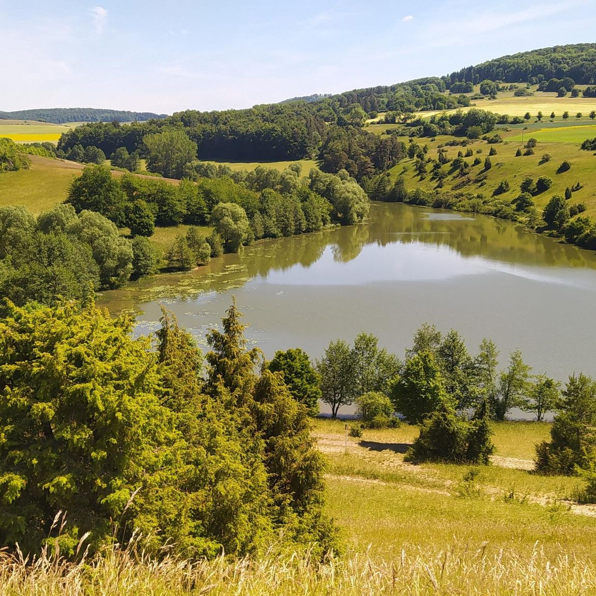
Great view of the lake and the surrounding area.
5
0

Even the strongest hiker needs a break sometimes 🥨
0
0
Even the strongest hiker needs a break sometimes 🥾
3
0

A beautiful little river. Many childhood memories.
0
0
Rhönpaulus was imprisoned here. Goethe also traveled here.
0
0
Frequently Asked Questions
How many hiking trails are available around Kaltensundheim?
There are over 20 hiking routes around Kaltensundheim, catering to various difficulty levels. You'll find everything from easy strolls to more challenging ascents through the Rhön Mountains.
Are there any easy or beginner-friendly hiking routes in Kaltensundheim?
Yes, Kaltensundheim offers several easy routes perfect for beginners or those seeking a relaxed walk. For example, the Kaltensundheim Church – Altes Bräuhaus Kaltensundheim loop from Hohe Rhön is an easy 4.5 km trail that takes you through the village and its surroundings.
What are some good options for family-friendly hikes?
For families, the region offers engaging trails. The Hexenpfad Fischbach (Witches' Trail) near Kaltennordheim is a certified family-friendly route, known for its magical adventure, fabulous views, and environmental education over 5.8 kilometers. It was even ranked among 'Germany's Most Beautiful Hiking Trails 2024'.
Are there circular walks available around Kaltensundheim?
Many of the trails around Kaltensundheim are circular, allowing you to start and end at the same point. An example is the Grimmelbach Reservoir – Planet Trail Hohe Rhön loop from Hohe Rhön, a moderate 8.8 km route exploring the reservoir area.
What kind of scenic viewpoints can I expect on the hikes?
The Rhön Mountains are known as the 'land of open distances,' offering wide, panoramic views, especially from the treeless heights. Prominent spots like the Ellenbogen, the highest mountain in the Thuringian Rhön, provide significant ascents and expansive vistas. The Steinkopf area also offers picturesque views over meadows.
What attractions or landmarks can I explore while hiking?
Beyond the natural beauty, you can discover historical and cultural landmarks. The 17th-century Fortified Church in Kaltensundheim is an inviting detour. For those interested in history, you can explore nearby castles and ruins such as Auersburg Castle Ruins or Tann Castle. The Eisenacher Haus on the Ellenbogen is also a significant point of interest for hikers.
Are there any huts or places to stop for refreshments along the trails?
Yes, the region features several huts and rest areas. The Thuringian Rhön House and the Dermbach Hut on Gläserberg Summit are popular spots. You might also find the Rhönpaulus Rest Area or the Rhönbrise Hiking Hut along various routes.
What is the best time of year to go hiking in Kaltensundheim?
Kaltensundheim offers hiking opportunities throughout the year. Spring and autumn provide pleasant temperatures and vibrant landscapes, while summer is ideal for enjoying the wide-open spaces. Winter hiking is also possible, with the snow-covered Rhön offering a unique, tranquil experience, though some trails might require appropriate gear.
What do other hikers enjoy most about hiking in Kaltensundheim?
The hiking experience in Kaltensundheim is highly rated by the komoot community, with an average score of 4.5 stars from over 3,200 reviews. Hikers frequently praise the wide views of the Rhön Mountains, the distinctive basalt formations, and the diverse terrain that ranges from open meadows to forested areas like the Rhönwald.
Are there any longer, more challenging routes for experienced hikers?
Absolutely. For experienced hikers seeking a challenge, routes like the Grimmelbach Reservoir – Grimmelbach Reservoir loop from Kaltennordheim offer a difficult 13.0 km path with significant ascents and varied terrain. Another option is the Reichenhausen Shelter loop from Hohe Rhön, a moderate 16.7 km trail through open landscapes.
Can I bring my dog on the hiking trails?
Many trails in the Rhön Mountains are dog-friendly, allowing you to enjoy the natural beauty with your canine companion. It's always advisable to keep your dog on a leash, especially in areas with livestock or wildlife, and to check local regulations for specific routes.
Most popular routes around Kaltensundheim
Most popular attractions around Kaltensundheim

Get inspired with the komoot mobile app


Explore more
Browse the best Hikes in other regions.
