The best gravel rides around Cornsay
4.4
(42)
360
riders
19
rides
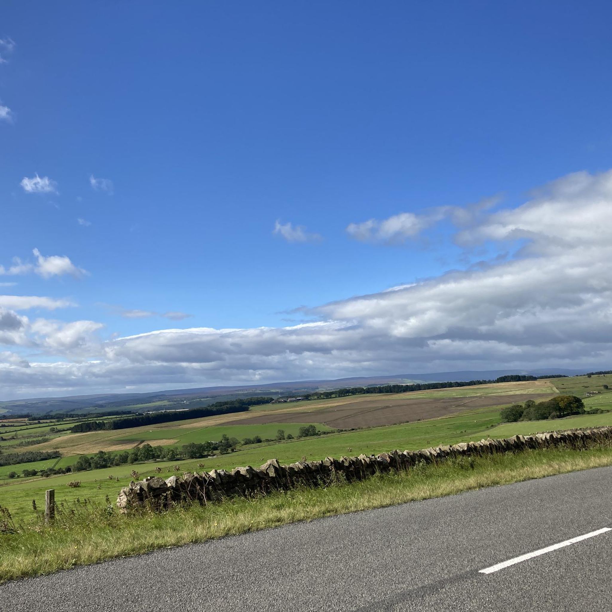
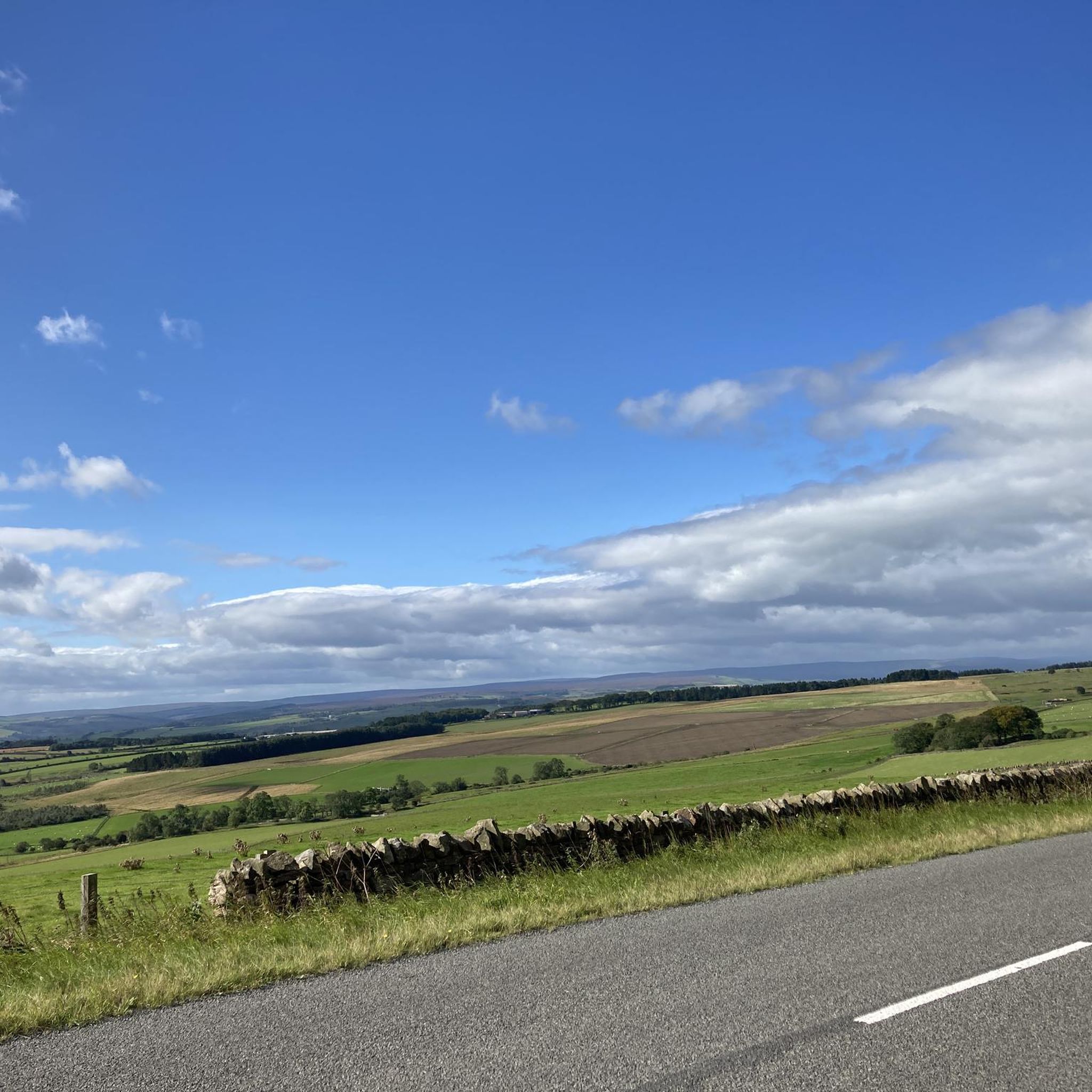
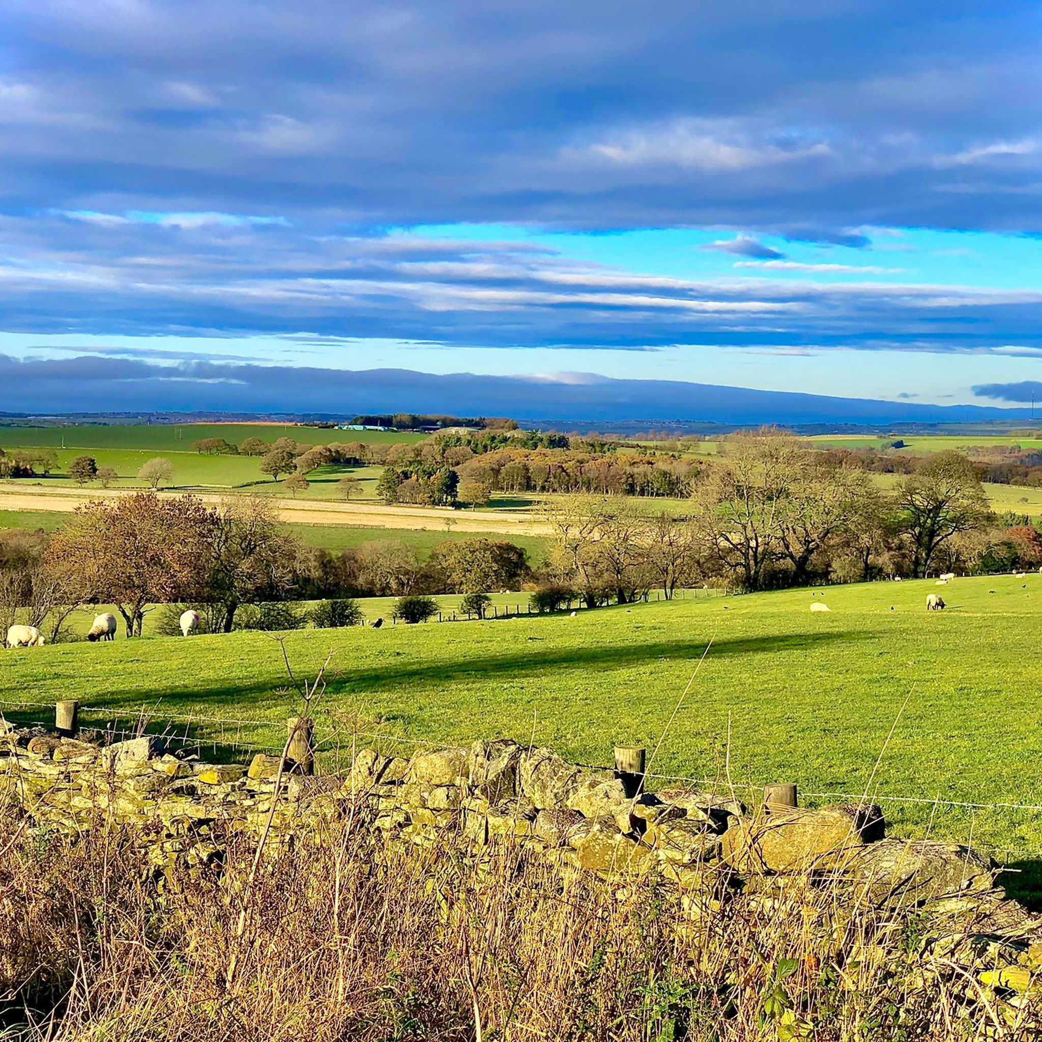
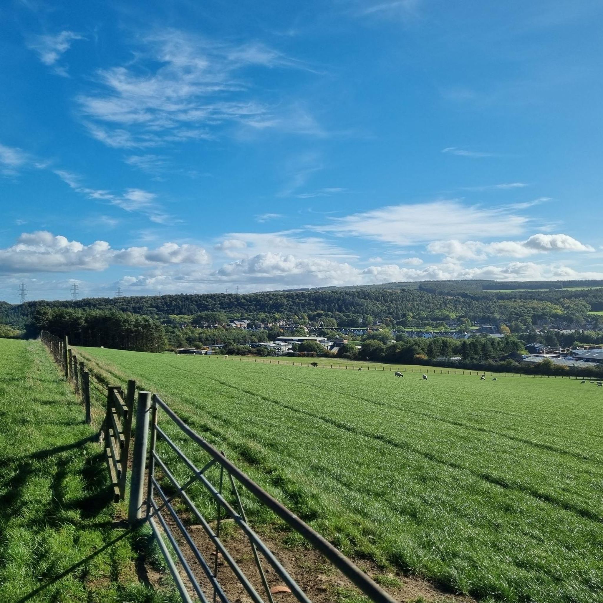
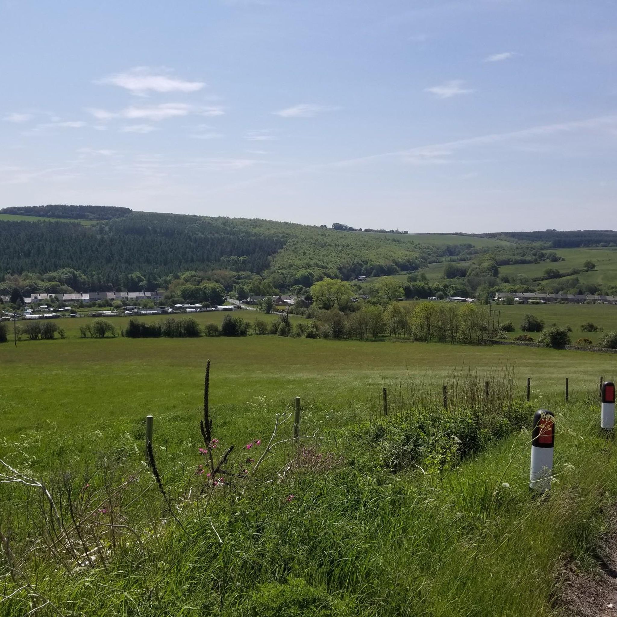
Gravel biking around Cornsay offers access to a network of multi-user paths, many of which are converted disused railway lines. These routes feature varied surfaces, including tarmac, gravel, and cinder, catering to the versatile nature of gravel bikes. The terrain encompasses patchwork farmland, woodlands, wetlands, and open moorland, with varying elevation gains suitable for different fitness levels. The region is situated on the edge of the North Pennines Area of Outstanding Natural Beauty, providing scenic backdrops for rides.
Best gravel…
Last updated: July 3, 2026
5.0
(1)
21
riders
23.9km
01:16
120m
120m
Easy gravel ride. Great for any fitness level. Mostly paved surfaces. Suitable for all skill levels.
4.8
(4)
22
riders
52.6km
02:55
420m
420m
Moderate gravel ride. Good fitness required. Mostly paved surfaces. Suitable for all skill levels.

Sign up for free
4.6
(5)
28
riders
35.2km
02:02
400m
400m
Moderate gravel ride. Good fitness required. Mostly paved surfaces. Suitable for all skill levels.
5.0
(3)
19
riders
32.0km
01:43
200m
200m
Moderate gravel ride. Good fitness required. Mostly paved surfaces. Suitable for all skill levels.
5.0
(2)
13
riders
49.2km
02:37
330m
330m
Moderate gravel ride. Good fitness required. Mostly paved surfaces. Suitable for all skill levels.
Get access to more routes and recommendations from other explorers.
Sign up for free
Already have an account?
Our route recommendations are based on thousands of hikes, rides, and runs completed by other people on komoot.
Start today with a free account
Your next adventure awaits.
Login or Signup
Tips from the Community

Hard packed former railway, now a popular walkway for cyclists and walkers. A good route to Bishop Auckland and beyond. Can get busy on weekends.
0
0

From Hownsgill Viaduct you can see for miles around whilst standing on the old railway bridge. The actual bridge has elevated side wall protector barriers, this to stop anything going over the side, the drop below is considerably higher than a house. There were high winds on the bridge on the day I rode over, the barriers also protect from the weather. You get very good views over both sides of the bridge.
0
0


Viaduct is now open, the paving is slightly bumpy though!
0
0
Great off-road route with an extremely gentle slope in a westerly direction!
0
0

An easy track with techy bits like roots, sloping sides and a decent climb needing a bit of speed.
0
0

Willington is a former mining town based on the Brandon to Bishop Auckland disused railway, which use to serve the coal mining industry. It's colliery closed in 1967. There are some local shops and plenty of benches, so serves as a good rest stop.
1
0
Newton Cap Viaduct is Grade II listed and was built in 1857 to carry the Bishop Auckland to Durham City railway across the River Wear. The viaduct fell into disuse when the railway closed in 1968. However, work began to strengthen the viaduct and convert it for road use. It was completed in 1995 and the busy A689 road was rerouted over the viaduct.
0
0
Frequently Asked Questions
What kind of terrain can I expect on gravel bike trails around Cornsay?
The gravel bike trails around Cornsay primarily utilize converted disused railway lines, offering a mix of surfaces including tarmac, gravel, and cinder. You'll encounter diverse terrain, from well-paved sections to unpaved and occasionally challenging segments, passing through patchwork farmland, woodlands, wetlands, and open moorland. The region is on the edge of the North Pennines Area of Outstanding Natural Beauty, providing varied landscapes and elevation gains suitable for different fitness levels.
Are there any family-friendly gravel bike routes near Cornsay?
Yes, several routes are suitable for families. The Lanchester Valley Path – River Browney loop from Lanchester is an easy 14.9-mile (23.9 km) trail following a former railway line with gentle gradients, making it ideal for a family outing. The Lanchester Valley Walk itself is known for its gentle gradients and mix of hard-compacted stone and tarmac surfaces, suitable for various bikes and skill levels.
Can I bring my dog on the gravel bike trails around Cornsay?
Many multi-user paths in the region, including the Lanchester Valley Walk and Waskerley Way, are generally dog-friendly, provided dogs are kept under control, especially around livestock or other users. Ushaw Historic House, Chapels & Gardens, a nearby attraction, also offers dog-friendly parkland. Always ensure your dog is well-behaved and that you follow local signage regarding pets.
What are some notable natural features or landmarks to look out for on the trails?
The region boasts several impressive features. The Waskerley Way offers views across patchwork farmland, woodlands, wetlands, and open moorland, with the highlight of Hownsgill Viaduct providing breathtaking views across the North Pennines. Along the Lanchester Valley Walk, you can enjoy views of the River Browney and spot wildlife like sand martins, kingfishers, dippers, and herons.
What is the best time of year for gravel biking in the Cornsay area?
The region is enjoyable for gravel biking throughout much of the year. Spring and autumn offer pleasant temperatures and beautiful scenery with changing foliage. Summer provides longer daylight hours. While winter riding is possible, be prepared for potentially muddy conditions on unpaved sections and check weather forecasts for ice or snow, especially in higher moorland areas.
Are there any challenging gravel routes for experienced riders?
Yes, while many routes are easy to moderate, the area also offers more challenging options. For instance, the View of Lanchester Valley – Deerness path loop from Tow Law is a moderate 32.8-mile (52.7 km) path with diverse terrain and significant elevation gain, connecting to multiple rail trails for an extended adventure. There are 5 difficult routes out of 24 total routes in the area, offering more demanding rides.
Where can I find parking for gravel bike trails near Cornsay?
Parking is generally available at various access points along the main trail networks. For routes like the Waskerley Way and Lanchester Valley Walk, designated car parks are often located at trailheads or nearby villages. Specific parking information can usually be found on local council websites or detailed route descriptions.
How can I access the Waskerley Way or Lanchester Valley Walk from Cornsay?
Cornsay's strategic location provides good access to these routes. The Lanchester Valley Walk is easily accessible from nearby Lanchester. The Waskerley Way can be reached by cycling a short distance from Cornsay to connect with the trail network. These paths often connect to other rail trails, expanding your exploration possibilities.
What do other gravel bikers say about the trails around Cornsay?
The gravel biking routes around Cornsay are highly rated by the komoot community, with an average score of 4.4 stars from over 40 reviews. Riders often praise the varied terrain, the scenic beauty of the former railway lines, and the peaceful experience of cycling through patchwork farmland, woodlands, and open moorland.
Are there cafes or pubs along the gravel bike routes for a break?
Yes, many of the trails pass through or near villages and towns where you can find cafes and pubs. For example, routes connecting to Lanchester or Tow Law will offer opportunities for refreshments. It's always a good idea to check opening times in advance, especially in smaller hamlets.
Are there any permits required for gravel biking on these trails?
Generally, no specific permits are required for cycling on the public multi-user paths and former railway lines around Cornsay, as they are part of the public access network. However, always respect private land and follow any local signage regarding access or regulations.
What is a good moderate-difficulty route for a longer ride?
For a longer, moderate ride, consider the River Deerness – Deerness path loop from Lanchester. This route covers 49.2 miles (79.2 km) and offers a good mix of terrain and scenery, leading through river valleys and former railway corridors, providing a rewarding experience for those looking for a bit more distance and challenge.
Most popular attractions around Cornsay

Get inspired with the komoot mobile app


Explore more
Browse the best Gravel rides in other regions.
