The best gravel rides around Westerdale
4.7
(10)
101
riders
12
rides
Gravel biking around Westerdale offers routes through the varied terrain of the North York Moors. The landscape is characterized by rolling moorland, deep dales, and elevated banks, providing a mix of gradients and surfaces suitable for gravel bikes. These trails often follow ancient tracks and quiet country roads, connecting small villages and offering expansive views. The region's geology contributes to a diverse riding experience, from firm gravel paths to more rugged sections.
Best gravel bike trails around Westerdale
- The most…
Last updated: October 20, 2026
5.0
(1)
15
riders
22.0km
01:22
280m
280m
Moderate gravel ride. Good fitness required. Mostly paved surfaces. Suitable for all skill levels.
15
riders
32.1km
01:55
400m
400m
Moderate gravel ride. Good fitness required. Mostly paved surfaces. Suitable for all skill levels.

5.0
(1)
11
riders
45.7km
02:38
290m
290m
Moderate gravel ride. Good fitness required. Mostly paved surfaces. Suitable for all skill levels.
5.0
(1)
9
riders
18.0km
01:12
270m
270m
Moderate gravel ride. Good fitness required. Mostly paved surfaces. Suitable for all skill levels.
5.0
(1)
10
riders
Moderate gravel ride. Good fitness required. Mostly paved surfaces. Suitable for all skill levels.
Get access to more routes and recommendations from other explorers.
Already have an account?
Our route recommendations are based on thousands of hikes, rides, and runs completed by other people on komoot.
Start today with a free account
Your next adventure awaits.
Tips from the Community

Tough ride up to here and could be dangerous to go down, but fantastic views!
0
0

Graze on the Green cafe, excellent food
0
0


Ingleby Greenhow is a village and civil parish in the Hambleton district of North Yorkshire. The name may derive from the Saxon for Englishman's green hill.
0
0
Clay Bank Car Park sits just below the top B1257 road. It is a great place to start walks on the moors to the east or the Cleveland Hills to the west. There is also fantastic views from this place.
0
0

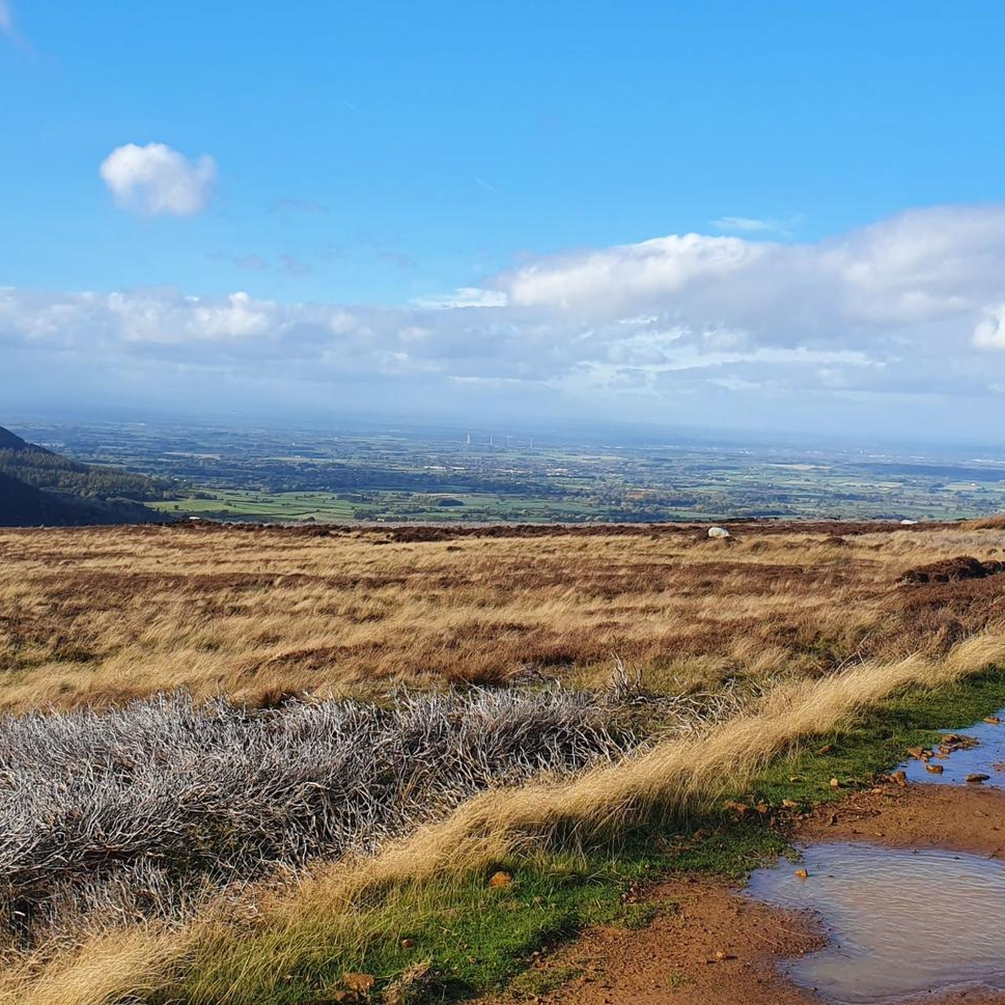
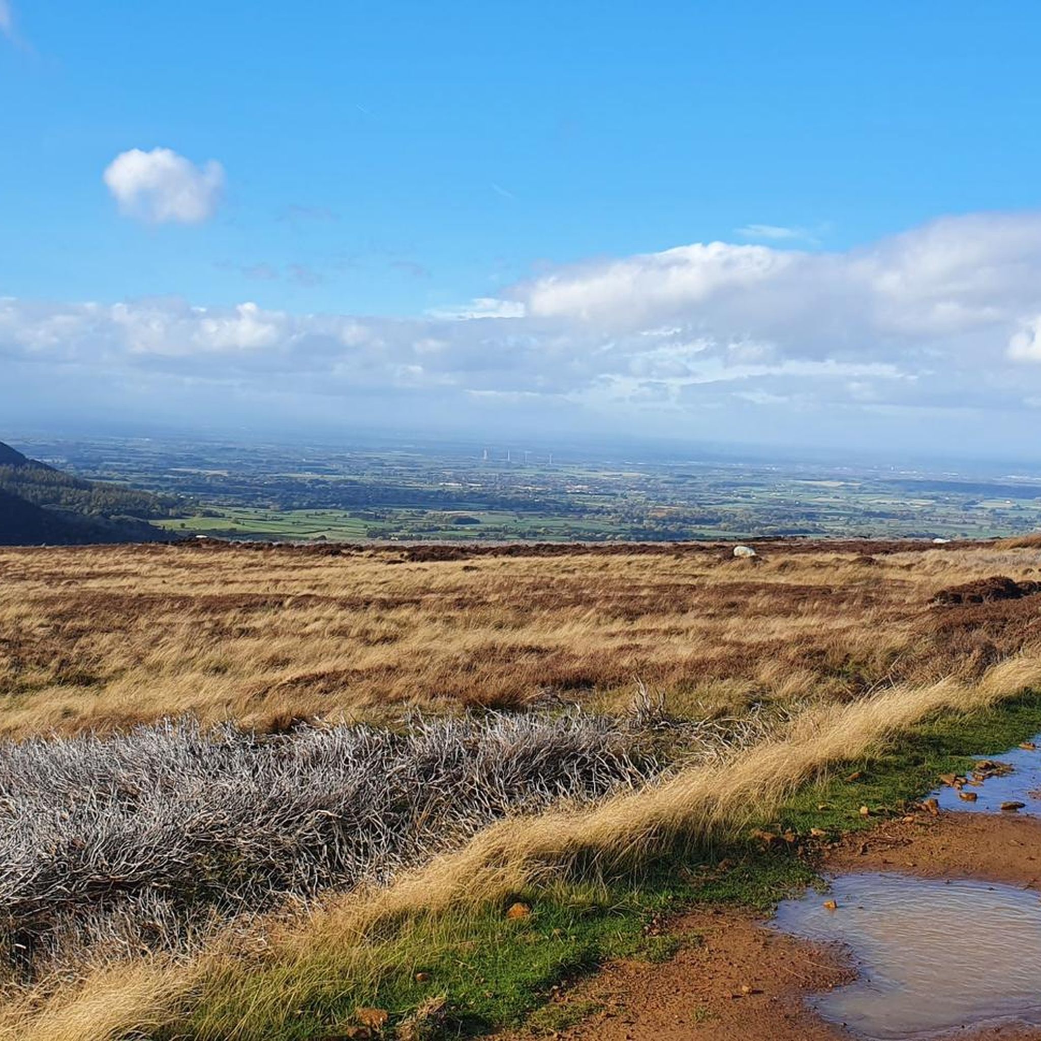
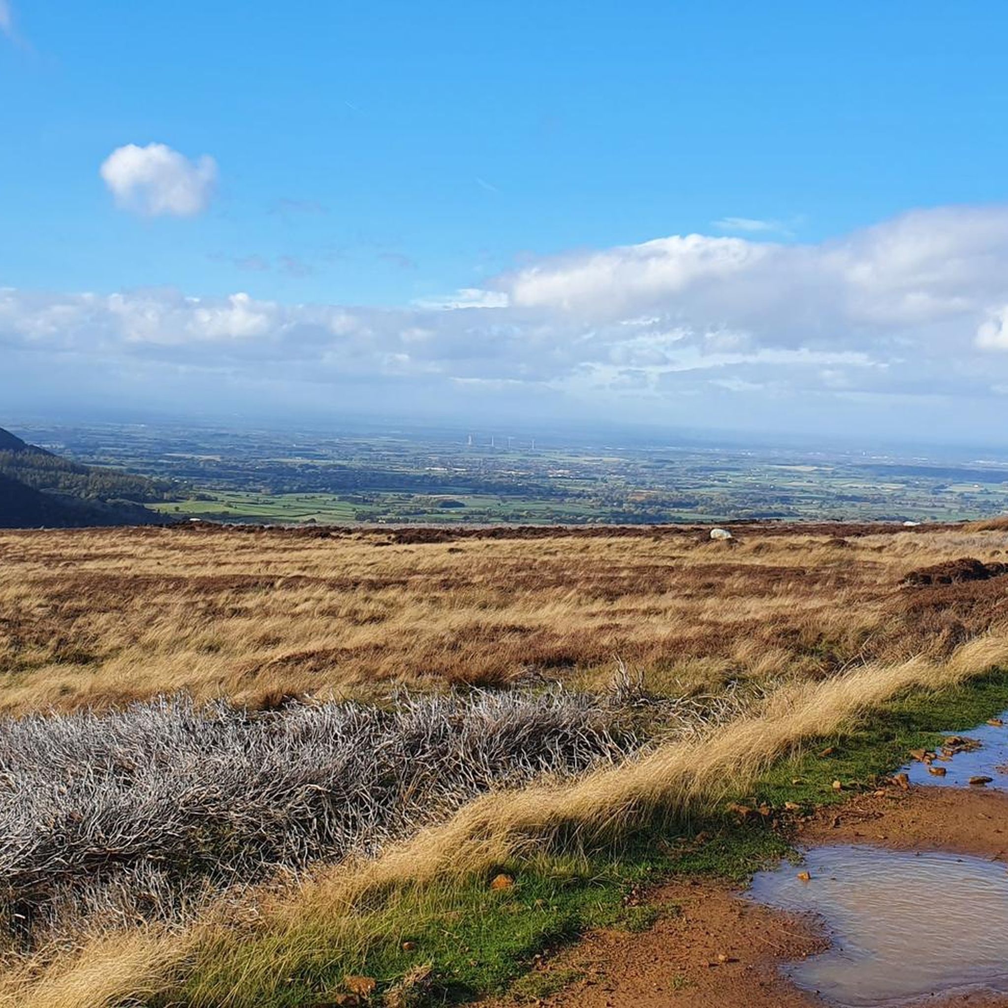
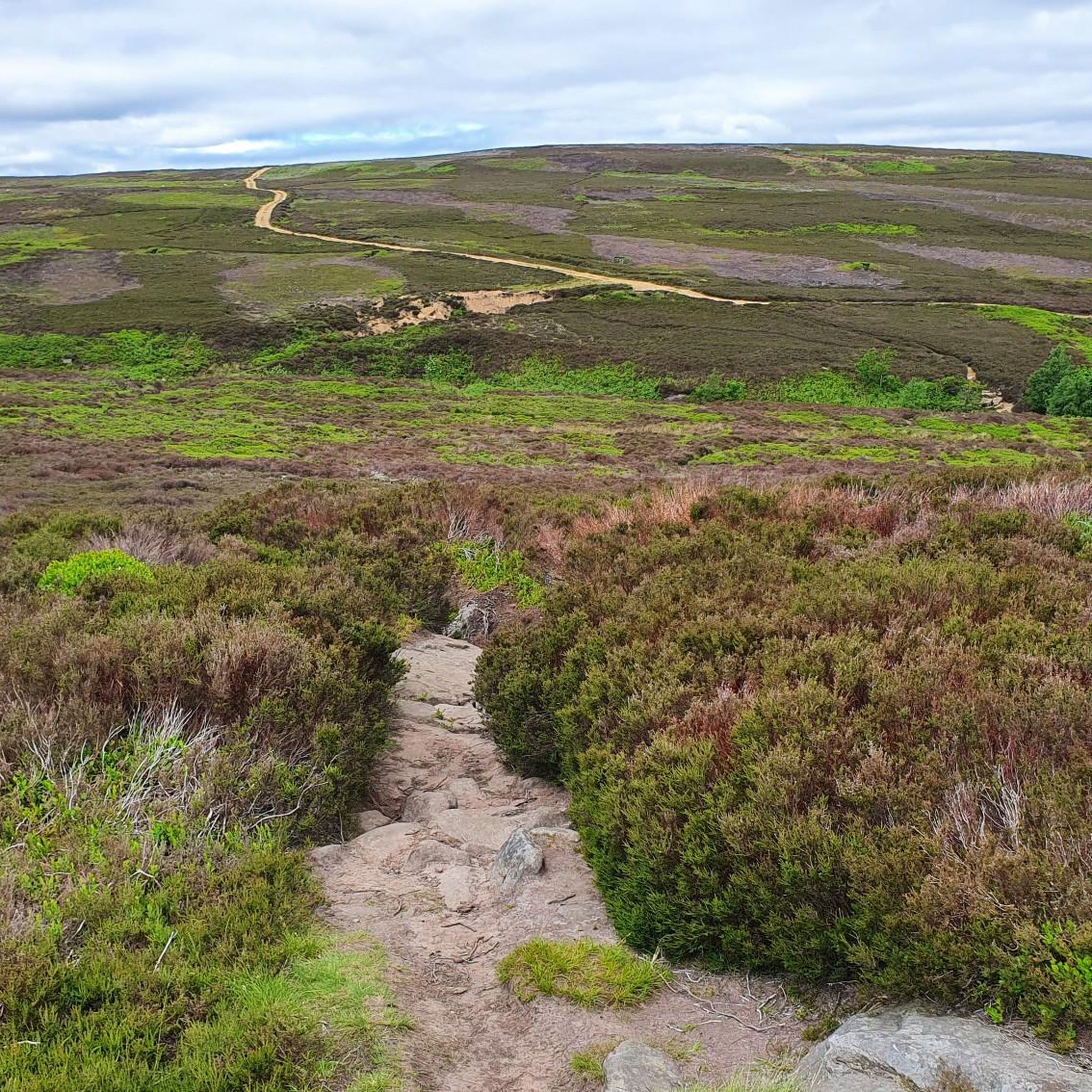
The scenery is nice in this area. You can see for miles in many parts. This is a slightly elevated area, the wind is far more stronger as it is an exposed area
0
0
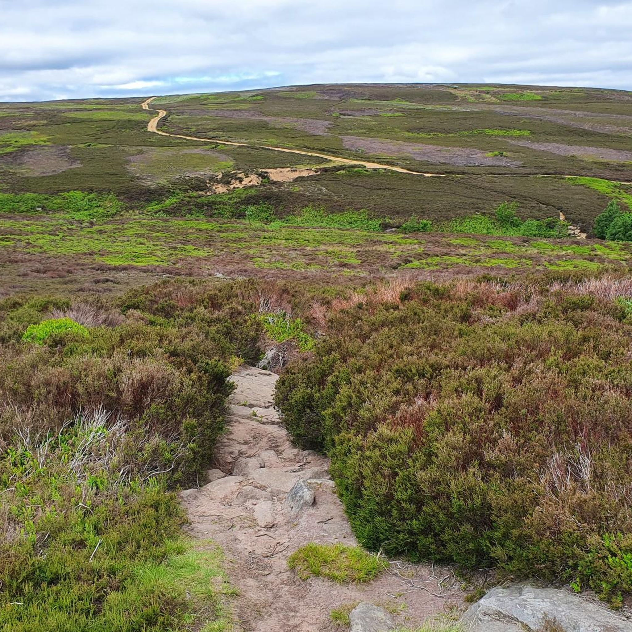
Sheriffs Pit is the location of an old iron mine. The views here are mint, you can see for miles through the valleys at the side of the double track
0
0

See the Landofiron.org.uk website for more engaging details on the Sheriff's Pit and other surviving elements of the Rosedale Mines and Railway.
0
0
Frequently Asked Questions
How many gravel bike trails are available in Westerdale?
There are over 10 gravel bike trails mapped around Westerdale on komoot, offering a variety of experiences through the North York Moors. These include routes for moderate and difficult ability levels.
Are there any easy or beginner-friendly gravel bike trails in Westerdale?
While many routes in Westerdale are rated moderate to difficult due to the varied terrain and elevation changes, beginners can find sections of trails that are less demanding. For a moderate introduction, consider the Blakey Bank Summit – Sheriff's Pit loop from The Lion Inn, which navigates rolling moorland.
What is the typical length and duration of gravel bike trails in Westerdale?
Gravel bike trails in Westerdale vary significantly in length and duration. You can find routes like the Blakey Bank Summit – Rosedale Chimney Bank Climb loop from Rosedale, which is about 13.6 miles (22 km) and takes around 1 hour 27 minutes, up to longer rides such as the Blakey Bank Summit – Descent from Kildale loop from Great Ayton, spanning 30 miles (48.2 km) and requiring over 3 hours to complete.
Are there any circular gravel bike routes in Westerdale?
Yes, many of the gravel bike routes in Westerdale are designed as loops, allowing you to start and finish in the same location. Examples include the Blakey Bank Summit – View of Farndale loop from Rosedale Abbey and the View from Clay Bank loop from Broughton Bank SSSI.
What kind of landmarks or attractions can I see along the gravel bike trails in Westerdale?
The trails often pass by significant natural and historical landmarks. You might encounter sights like the Roseberry Topping Summit, the Carlton Bank Summit Trig Point, or the historic Captain Cook's Monument on Easby Moor. The unique rock formations of The Wainstones are also a notable feature in the area.
What do other gravel bikers enjoy most about riding in Westerdale?
The gravel biking experience in Westerdale is highly rated by the komoot community, with an average score of 4.7 stars. Riders often praise the expansive views across the dales, the challenging climbs, and the diverse terrain that characterizes the North York Moors.
When is the best time of year for gravel biking in Westerdale?
The best time for gravel biking in Westerdale is typically from spring through autumn. During these seasons, the weather is generally milder, and the trails are less likely to be affected by harsh winter conditions, offering better grip and more comfortable riding. Always check local weather forecasts before heading out.
Are there any advanced or challenging gravel bike routes in Westerdale?
Yes, Westerdale offers several challenging routes for experienced gravel bikers. The region's geology provides a mix of gradients and surfaces, including more rugged sections. For a demanding ride, consider the Blakey Bank Summit – Descent from Kildale loop from Great Ayton, which features significant elevation changes.
Are there options for parking near the gravel bike trails in Westerdale?
Many gravel bike routes in Westerdale start from villages or popular points that offer parking facilities. For instance, routes often begin near Rosedale, Rosedale Abbey, or The Lion Inn, where parking is typically available for visitors accessing the trails.
What are the typical winter conditions for gravel biking in Westerdale?
Winter conditions in Westerdale can be challenging for gravel biking. The exposed moorland can experience strong winds, rain, and occasionally snow, making trails muddy, slippery, or even impassable. Shorter daylight hours and colder temperatures also require appropriate gear and careful planning.
Are there any cafe stops or refreshment points along the gravel bike trails in Westerdale?
While the trails themselves often traverse remote moorland, many routes start or pass through small villages like Rosedale Abbey or near establishments such as The Lion Inn, which can provide opportunities for cafe stops or refreshments. It's advisable to carry sufficient water and snacks, especially on longer rides.
Most popular attractions around Westerdale

Get inspired with the komoot mobile app


Explore more
Browse the best Gravel rides in other regions.
