High And Low Bishopside
High And Low Bishopside
The best gravel rides around High And Low Bishopside
5.0
(2)
30
riders
4
rides
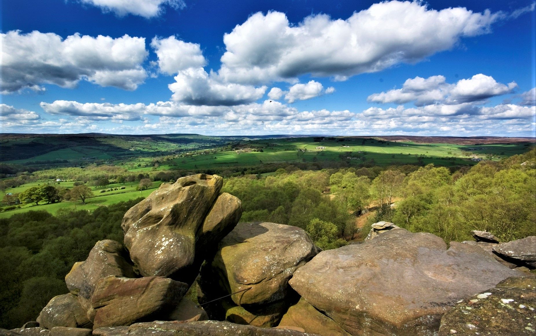
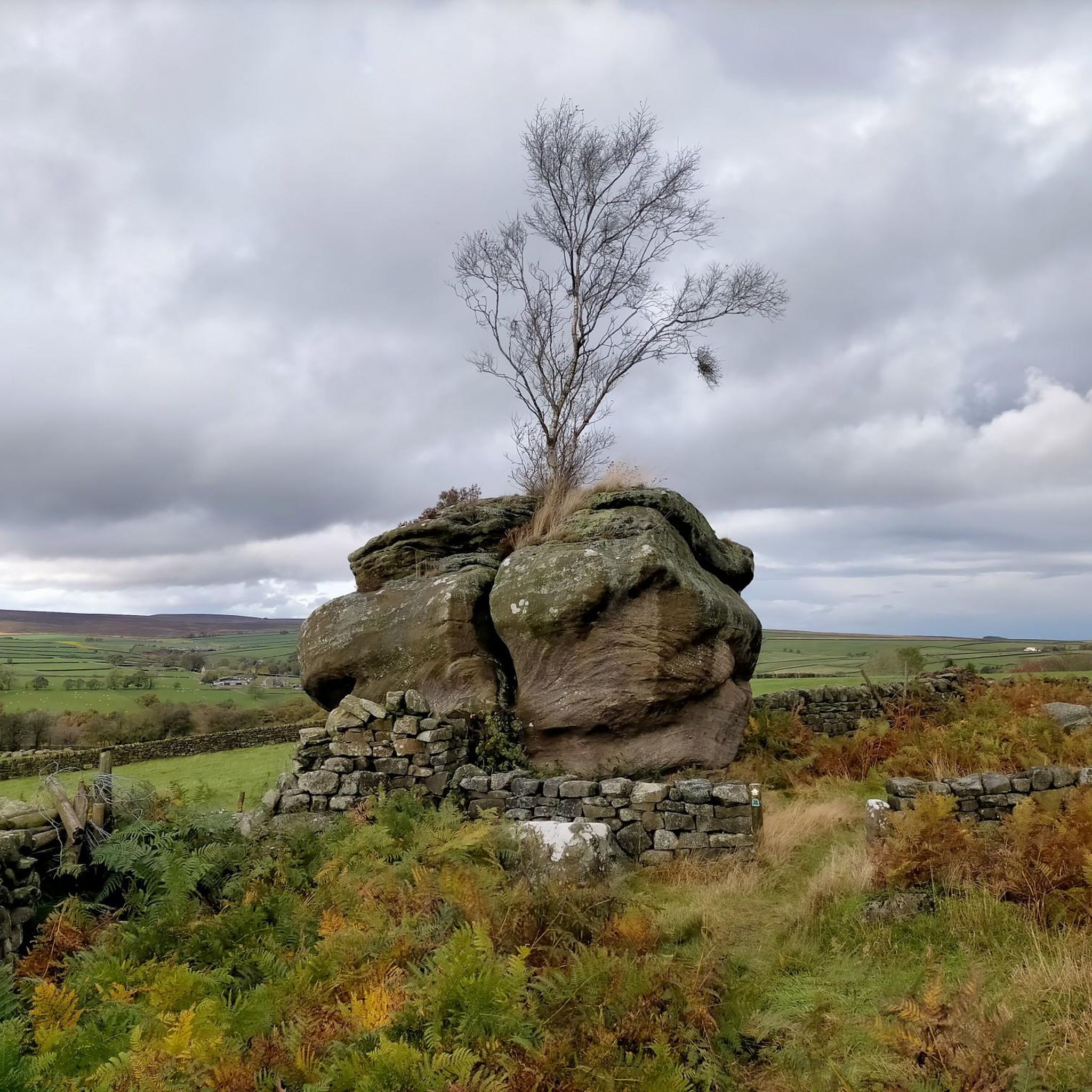
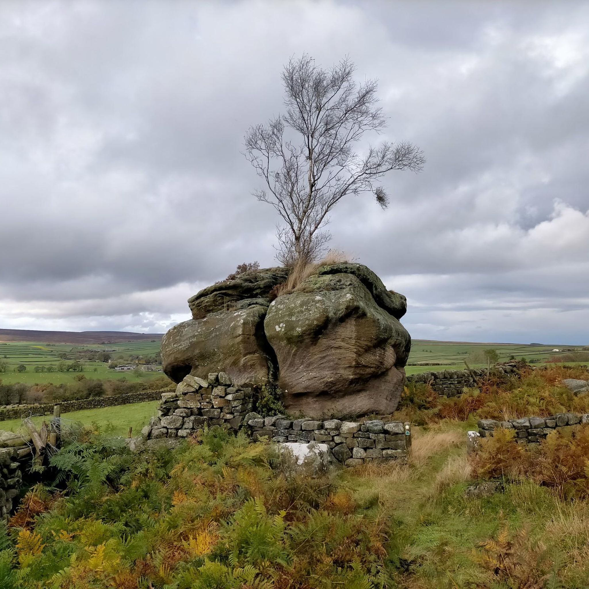
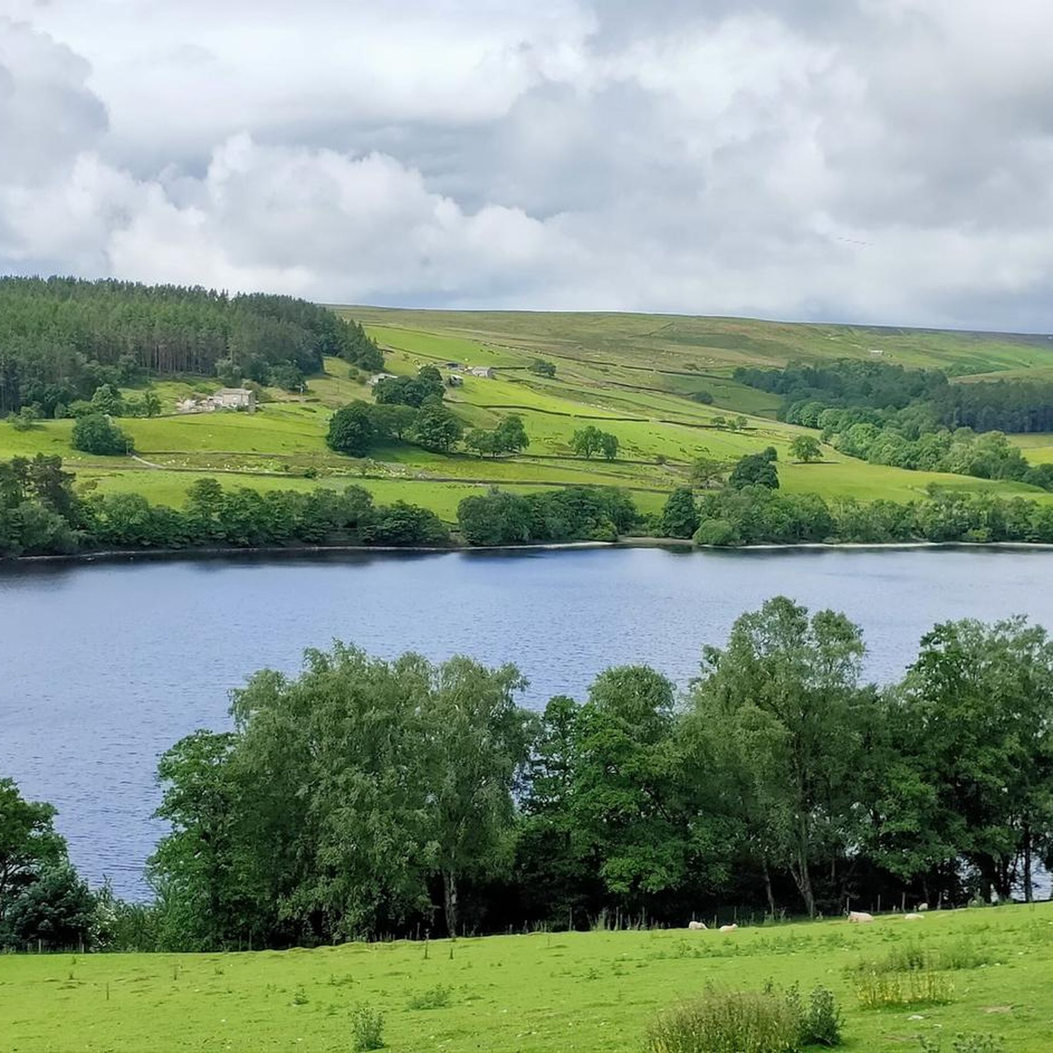
Gravel biking around High And Low Bishopside offers diverse terrain within the Nidderdale National Landscape. The area features rolling hills and evergreen scenery, providing extensive views across the landscape, including to Great Whernside. The parish is bordered by the River Nidd to the west and includes significant moorland to the east, contributing to varied trail options. This region is characterized by its dramatic gritstone formations and a network of quiet backroads and bridleways.
Best gravel bike trails around High And…
Last updated: July 3, 2026
5.0
(2)
19
riders
49.3km
03:11
510m
510m
Hard gravel ride. Very good fitness required. Mostly paved surfaces. Suitable for all skill levels.
6
riders
66.5km
04:25
1,120m
1,120m
Hard gravel ride. Very good fitness required. You may need to push your bike for some segments of this route.

Sign up for free
2
riders
30.0km
01:49
460m
460m
Hard gravel ride. Very good fitness required. Mostly paved surfaces. Suitable for all skill levels.
2
riders
13.3km
00:53
280m
280m
Moderate gravel ride. Good fitness required. Mostly paved surfaces. Suitable for all skill levels.
Our route recommendations are based on thousands of hikes, rides, and runs completed by other people on komoot.
Start today with a free account
Your next adventure awaits.
Login or Signup
Popular around High And Low Bishopside
Nidderdale Way — Discover one of Yorkshire's most loved dales
Cycle the Way of the Roses – Historic cities to rolling hills
Hiking around High And Low Bishopside
Cycling around High And Low Bishopside
Road Cycling Routes around High And Low Bishopside
MTB Trails around High And Low Bishopside
Running Trails around High And Low Bishopside
Other adventures around High And Low Bishopside


Tips from the Community

One side of the reservoir is road, the other is a fantastic bridleway
0
0


It is nearly 60m metres long and has 32 arches. Completed in 1848 and is Grade II listed.
1
0


Great railway track, although busy, dogs often off the lead, cautious cycling required!
0
0
Easy cycling, although track is shared with pedestrians and, dogs are often off the lead!
0
0

The path underneath is formally closed, but locals still walk it.
0
0
Frequently Asked Questions
How many gravel bike trails are available around High And Low Bishopside?
There are 5 gravel bike trails available around High And Low Bishopside, offering a range of experiences from moderate to difficult. These routes are highly rated by the komoot community, with an average score of 5.0 stars.
What kind of terrain can I expect on gravel bike trails in High And Low Bishopside?
The terrain around High And Low Bishopside is diverse, featuring rolling hills, quiet backroads, bridleways, and open moorland. You'll encounter both smoother gravel paths and some 'chunky' sections, often with gritstone formations, providing varied challenges and scenic views within the Nidderdale National Landscape.
Are there any family-friendly gravel biking routes in the area?
While many routes in High And Low Bishopside feature moderate to difficult sections, some parts of the wider Nidderdale area offer gentler paths. For a shorter, moderate option that still provides reservoir vistas, consider the View of Scar House Reservoir – Scar House Descent loop from Lofthouse, which is 8.3 miles (13.3 km) long.
What are some notable landmarks or viewpoints I can see while gravel biking?
The region is rich with scenic viewpoints. You can experience extensive panoramic views from High Crag Ridge Trig Point, where on a clear day, you can see all the way to the head of Nidderdale and Great Whernside. Other notable spots include Simon's Seat and Riva Hill Summit, both offering stunning vistas.
Are there any routes that feature waterfalls?
Yes, the Bilton Greenway – Ripley Castle Waterfall loop from Bishop Thornton is a difficult 30.8 miles (49.5 km) route that specifically includes a waterfall along its varied landscapes. You can also explore other waterfalls in the wider area, such as Fosse Gill Waterfall.
What is the best time of year for gravel biking in High And Low Bishopside?
The best time for gravel biking in Nidderdale and High And Low Bishopside is generally during the drier months, from late spring to early autumn. This avoids the potentially muddy conditions that can occur on moorland and unpaved trails during winter and heavy rain, allowing for better enjoyment of the 'evergreen scenery' and 'amazing views'.
Where can I find parking for gravel biking near High And Low Bishopside or Pateley Bridge?
While specific parking locations for each route are not detailed here, Pateley Bridge, being a central hub in Nidderdale, typically offers public parking facilities. It's advisable to check local council websites or parking apps for current information on car parks and any associated fees before your visit.
Are there any circular gravel bike trails in the area?
Yes, many of the gravel routes in High And Low Bishopside are designed as loops. For example, the popular Gouthwaite Reservoir – Scar House Reservoir and Dam loop from Dacre is a 34.4 miles (55.4 km) circular trail offering extensive reservoir views and challenging climbs.
What do other gravel bikers enjoy most about gravel biking in High And Low Bishopside?
The area is highly rated by the komoot community, with an average score of 5.0 stars. Reviewers often praise the diverse terrain, the 'quite amazing views' across the rolling hills and moorland, and the opportunity to ride on quiet backroads and bridleways away from traffic, allowing for peaceful exploration of the Nidderdale National Landscape.
Are there any routes that pass by reservoirs?
Yes, several routes offer stunning reservoir views. The Gouthwaite Reservoir – Scar House Reservoir and Dam loop from Dacre is a prime example, providing extensive vistas of both Gouthwaite and Scar House Reservoirs. Another route, the View of Scar House Reservoir – Scar House Descent loop from Lofthouse, also focuses on the beauty of Scar House Reservoir.
What are the difficulty levels of gravel biking routes in High And Low Bishopside?
The gravel biking routes in High And Low Bishopside range from moderate to difficult. Out of the 5 available routes, 1 is rated moderate and 4 are rated difficult, indicating that many trails involve significant climbs and varied terrain suitable for experienced gravel bikers.
Most popular routes around High And Low Bishopside
Most popular attractions around High And Low Bishopside

Get inspired with the komoot mobile app


Explore more
Browse the best Gravel rides in other regions.
