The best gravel rides around East Rounton
4.0
(1)
17
riders
7
rides
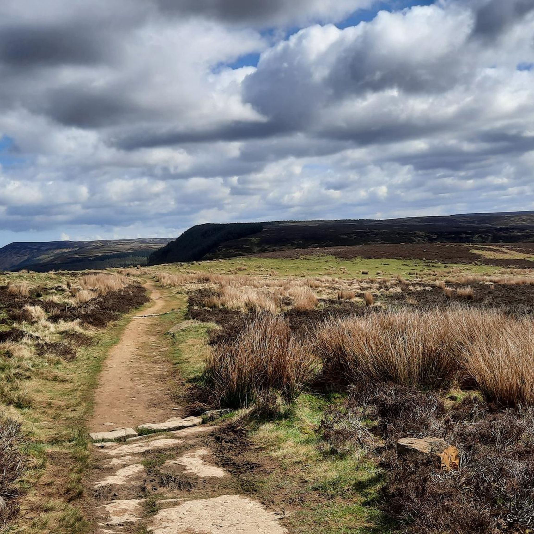
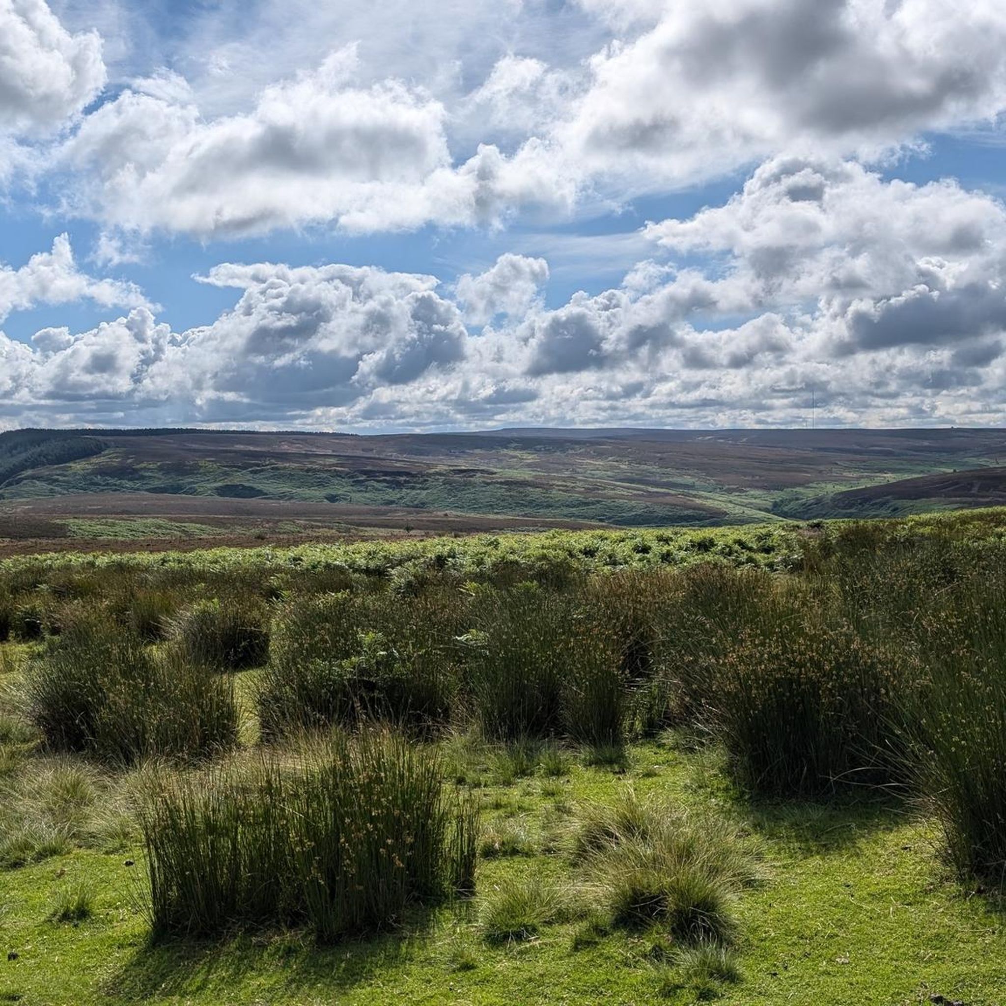
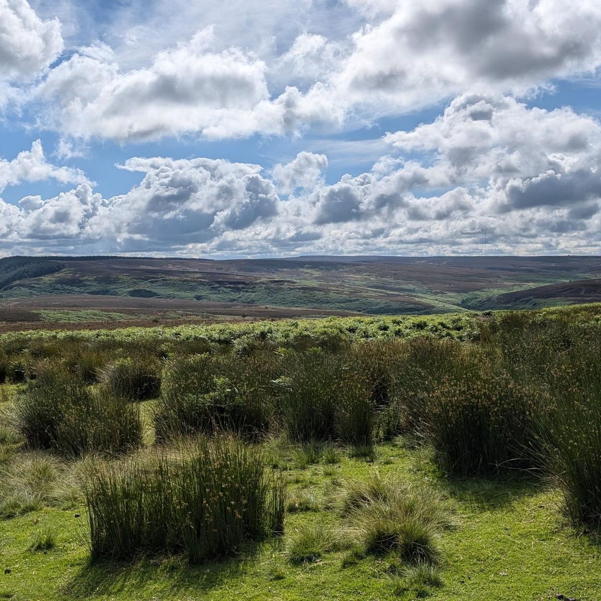
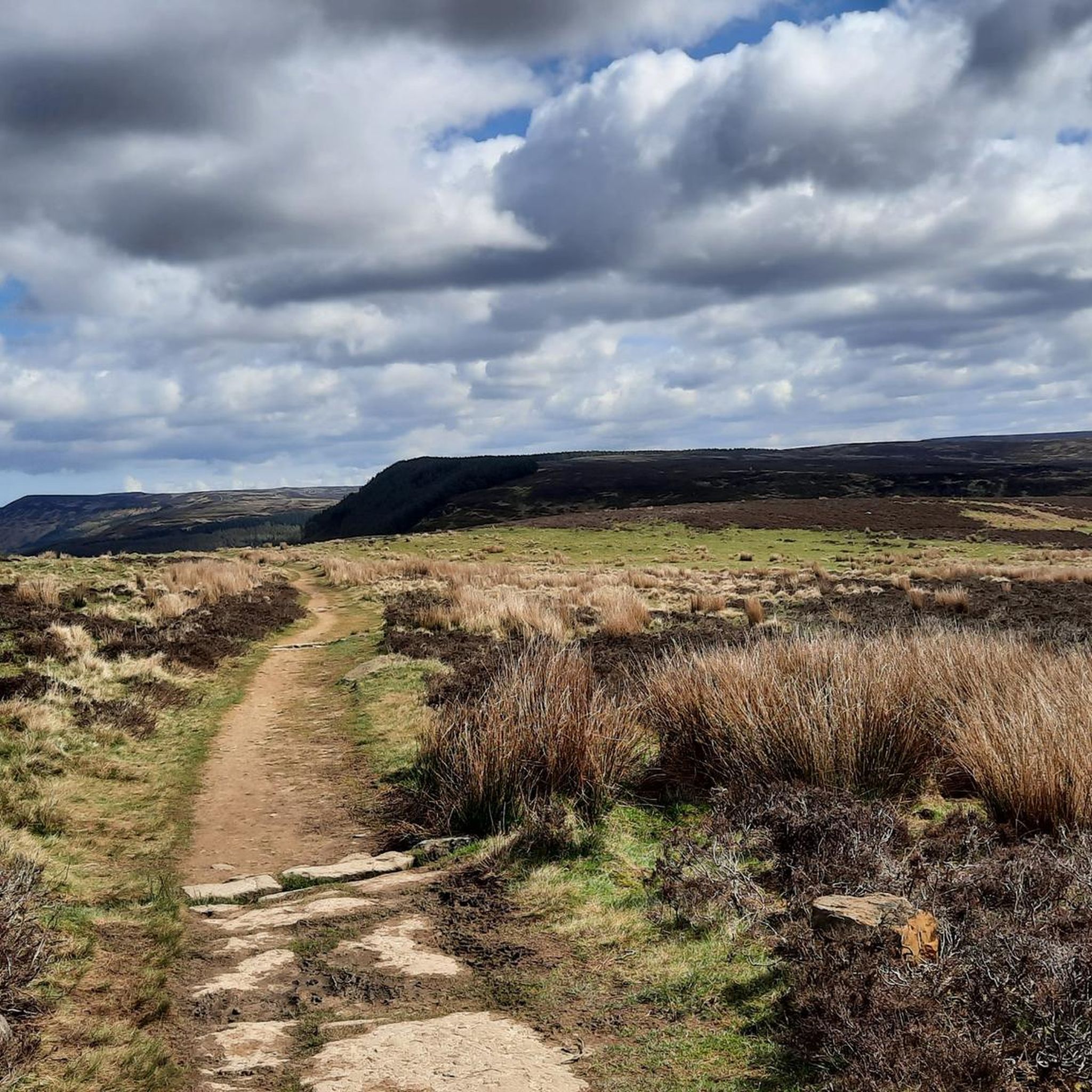
Gravel biking around East Rounton offers routes through the varied landscape of North Yorkshire, characterized by rolling hills, woodlands, and open trails. The region features a mix of quiet country lanes and unpaved tracks, providing diverse terrain for gravel cyclists. Routes often include ascents to viewpoints and descents into valleys, with features like reservoirs and forest sections. The area's topography provides a blend of moorland, agricultural fields, and varied terrain.
Best gravel bike trails around East Rounton
- The most popular…
Last updated: July 3, 2026
5
riders
28.6km
02:01
500m
500m
Hard gravel ride. Very good fitness required. Mostly paved surfaces. Suitable for all skill levels.
4.0
(1)
3
riders
15.2km
01:04
250m
260m
Moderate gravel ride. Good fitness required. Mostly paved surfaces. Suitable for all skill levels.

Sign up for free
3
riders
29.8km
01:59
530m
530m
Hard gravel ride. Very good fitness required. Mostly paved surfaces. Suitable for all skill levels.
2
riders
26.0km
01:44
570m
570m
Hard gravel ride. Very good fitness required. Mostly paved surfaces. Suitable for all skill levels.
2
riders
54.2km
03:30
940m
940m
Hard gravel ride. Very good fitness required. You may need to push your bike for some segments of this route.
Get access to more routes and recommendations from other explorers.
Sign up for free
Already have an account?
Our route recommendations are based on thousands of hikes, rides, and runs completed by other people on komoot.
Start today with a free account
Your next adventure awaits.
Login or Signup
Tips from the Community

A great stop for food especially if heading up to Cod Beck as you will need the energy.
0
0

Stayed at one of the local pubs, was good but their internet connection was non-existent, had to pay for a 24hr hotspot with EE
0
0

Finest View in England
1
0
Expensive parking but some nice routes
0
0

A pleasant pit stop for pre or post ride fueling. Offers a breakfast and lunch menu along with sumptuous cakes and good coffee.
0
0

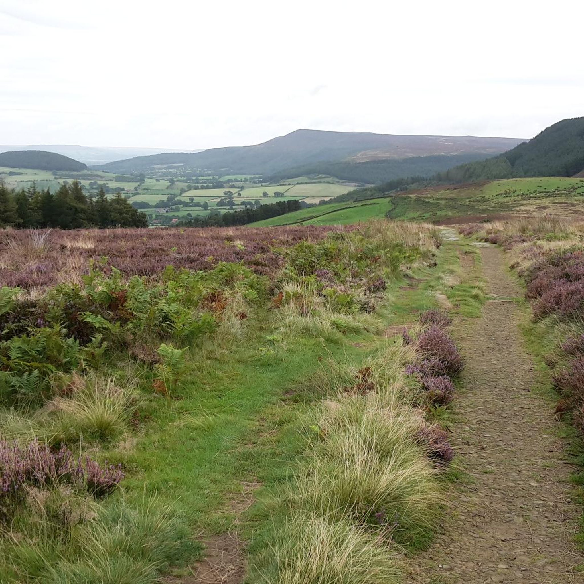
This is a great access point to jump onto the Cleveland Way from Cleveland Road. There is a car park a few hundred metres away to ditch the vehicle. This also happens to be an exceptional viewing point to enjoy the scenes of North York Moors
1
0

Trails along the escarpment taking in the best views over the North York Moors.
0
0
Frequently Asked Questions
How many gravel bike trails are available around East Rounton?
There are 8 gravel bike trails documented around East Rounton on komoot, offering a variety of experiences through North Yorkshire's landscape.
Are there any easy gravel bike trails suitable for beginners or families?
While East Rounton's gravel routes tend to lean towards moderate to difficult, the region's terrain of rolling hills and quiet country lanes can be explored at a leisurely pace. For a moderate option, consider the Osmotherley South End Climb – Cod Beck Reservoir loop from Osmotherley, which is 9.4 miles (15.2 km) long and features a climb towards Cod Beck Reservoir.
What are some challenging gravel bike routes in the East Rounton area?
For experienced gravel bikers seeking a challenge, East Rounton offers several difficult routes. The Scarth Nick Climb – Holy Cross Church, Swainby loop from Faceby is a demanding 18.5 miles (29.8 km) path that includes the notable Scarth Nick climb. Another long and challenging option is the Hall Lane Climb – View from Sutton Bank Junction loop from Osmotherley, spanning 54.2 miles (87.2 km) with significant elevation gain.
Are there circular gravel bike routes available?
Yes, all the featured gravel bike routes around East Rounton are designed as circular loops, allowing you to start and finish at the same point. Examples include the Hutton Rudby Village – Great Ayton Village Centre loop from Faceby, which covers 32.8 miles (52.8 km) through rural villages, and the Silton Forest Entrance – Hall Lane Climb loop from Square Corner.
What interesting sights or viewpoints can I expect along the gravel trails?
Many routes offer scenic views and pass by notable landmarks. You might encounter the tranquil Cod Beck Reservoir, or enjoy panoramic vistas from spots like the View from Beacon Hill Summit. Other highlights include the Carlton Bank Summit Trig Point and the historic Osmotherley Village Green and Medieval Cross.
What is the best time of year to go gravel biking in East Rounton?
The varied terrain of East Rounton, with its mix of country lanes and unpaved tracks, is generally enjoyable from spring through autumn. During these seasons, you'll typically find more favorable weather and drier trail conditions, making for a more pleasant ride through the rolling hills and woodlands.
Are there any routes that include cafe stops or places for refreshments?
While specific cafe stops are not detailed for every route, many trails pass through or near villages like Osmotherley, Faceby, Hutton Rudby, and Great Ayton. These villages often provide opportunities for refreshments, allowing you to plan a break during your ride. It's advisable to check local amenities in advance.
What are the trail conditions like for gravel biking in winter?
In winter, the unpaved tracks and forest sections around East Rounton can become muddy and potentially slippery, especially after rain or frost. While country lanes remain rideable, be prepared for challenging conditions on off-road sections. Always check local weather forecasts and trail reports before heading out.
How can I reach the gravel bike trails using public transport?
East Rounton itself is a small village, and public transport options directly to trailheads might be limited. However, nearby larger villages and towns like Osmotherley or Great Ayton may have bus services. From these points, you can often connect to the start of various routes. Planning your journey with local bus timetables is recommended.
Where can I find parking for the gravel bike trails?
Parking availability varies by trailhead. Many routes start from villages like Osmotherley or Faceby, where public parking might be available. For example, routes starting from Osmotherley often have parking options within the village. Always look for designated parking areas or check local regulations to ensure responsible parking.
What do other gravel bikers say about the trails in East Rounton?
The gravel biking routes in East Rounton are highly regarded by the komoot community, holding an average score of 4.0 stars. Riders often praise the diverse terrain, from quiet country lanes to challenging climbs, and the scenic beauty of North Yorkshire's rolling hills and forest sections.
Most popular attractions around East Rounton

Get inspired with the komoot mobile app


Explore more
Browse the best Gravel rides in other regions.
