The best gravel rides around Newsholme
4.8
(5)
74
riders
6
rides
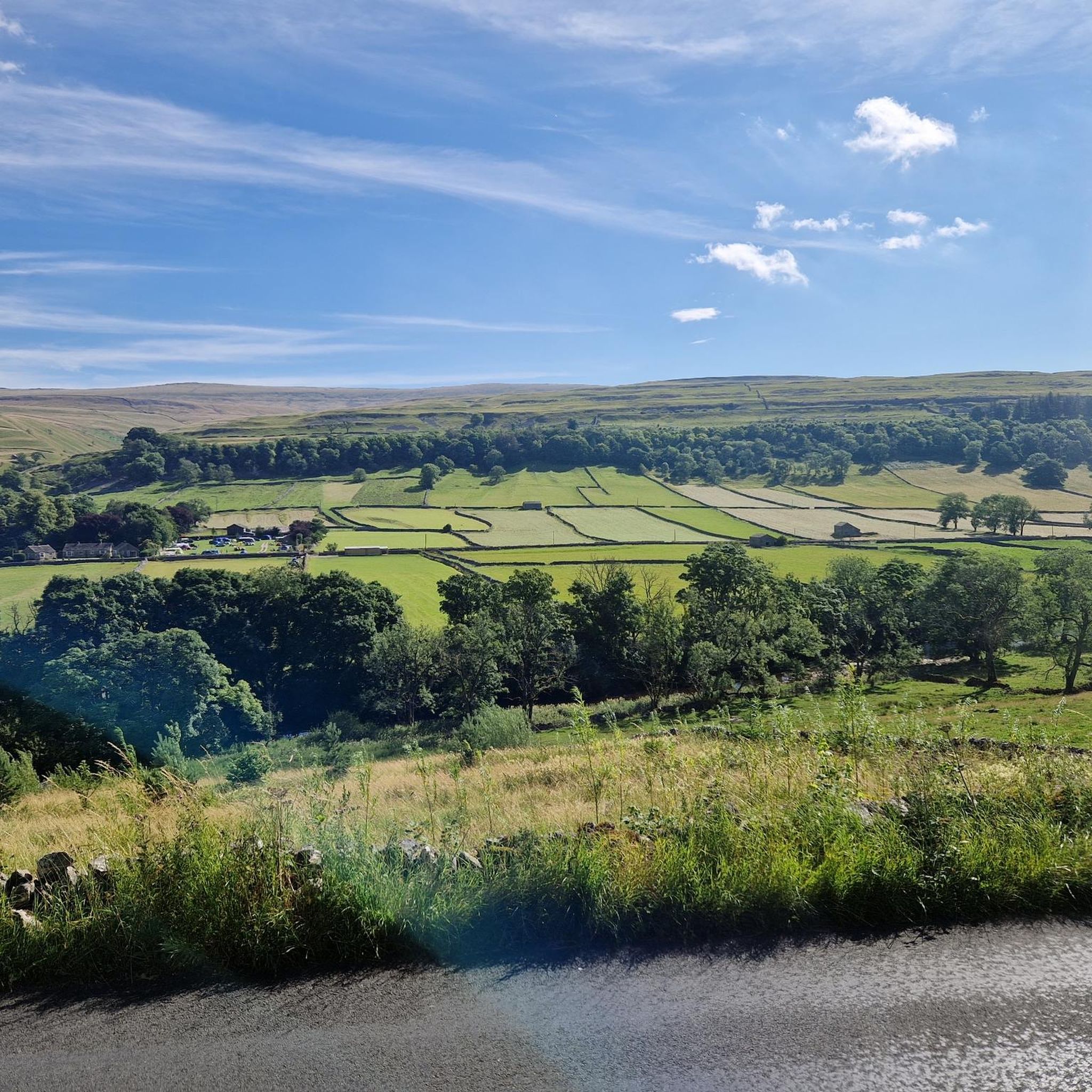
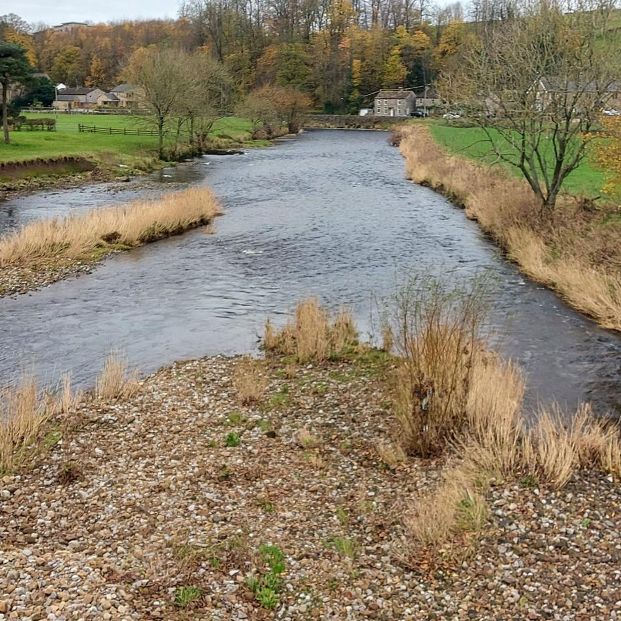
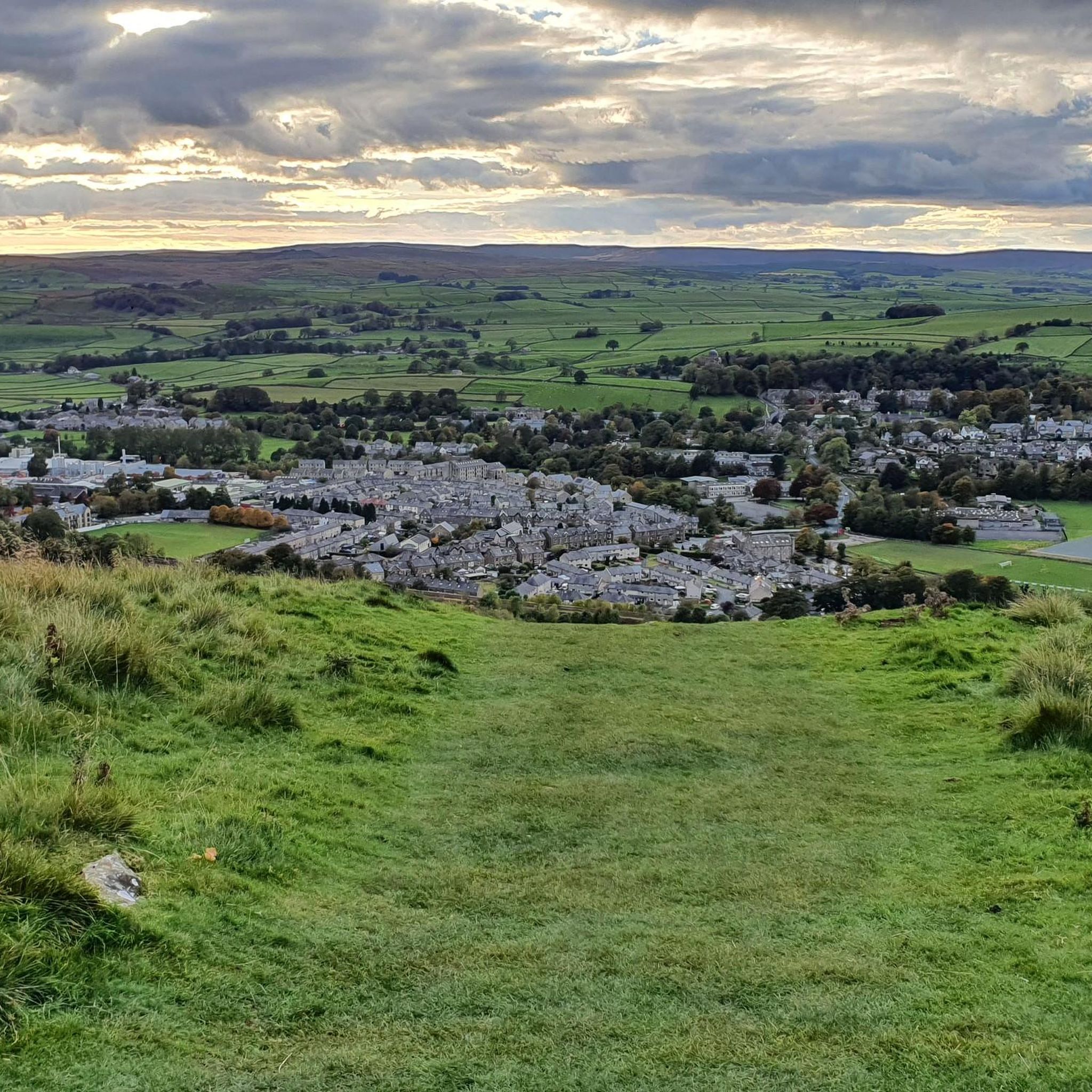
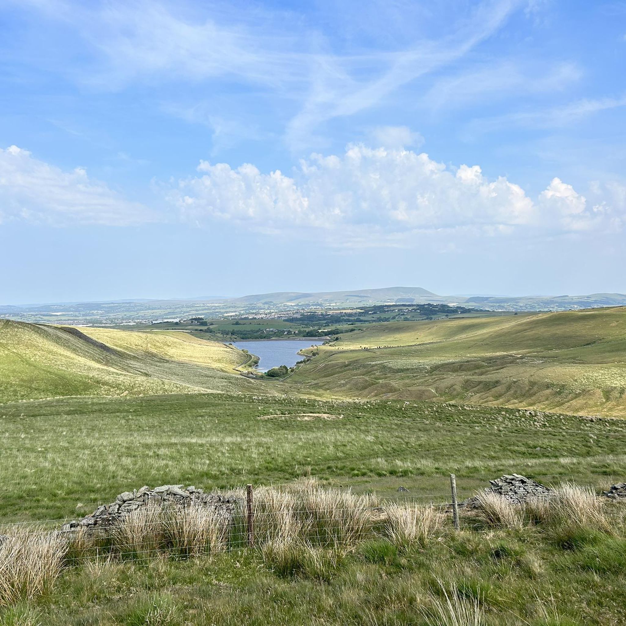
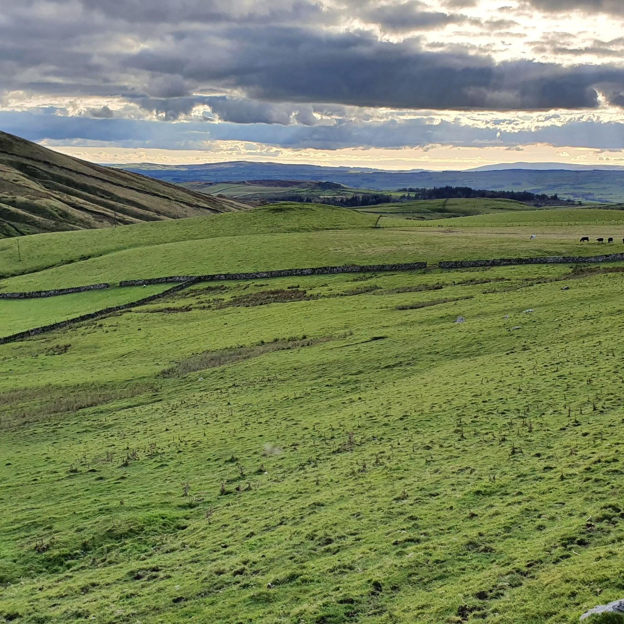
Gravel biking around Newsholme offers access to varied terrain, from the valleys and moors of the Yorkshire Dales to the slopes of Pendle Hill. The region features a mix of natural landscapes, including upland blanket bog, limestone pavement, and riverside meadows. Riders can expect diverse surfaces, from well-worn tracks to more challenging gravel paths, with elevations ranging from gentle gradients to significant climbs. This area provides a robust cycling infrastructure suitable for gravel riding, connecting different landscapes and attractions.
Best…
Last updated: July 2, 2026
4.5
(2)
48
riders
64.5km
04:14
1,100m
1,100m
Hard gravel ride. Very good fitness required. Mostly paved surfaces. Suitable for all skill levels.
15
riders
Moderate gravel ride. Good fitness required. Mostly paved surfaces. Suitable for all skill levels.

Sign up for free
5.0
(2)
2
riders
32.2km
02:22
520m
520m
Hard gravel ride. Very good fitness required. Mostly paved surfaces. Suitable for all skill levels.
3
riders
33.4km
02:26
630m
630m
Hard gravel ride. Very good fitness required. You may need to push your bike for some segments of this route.
2
riders
35.5km
02:39
610m
610m
Hard gravel ride. Very good fitness required. You may need to push your bike for some segments of this route.
Our route recommendations are based on thousands of hikes, rides, and runs completed by other people on komoot.
Start today with a free account
Your next adventure awaits.
Login or Signup
Tips from the Community


County Brook is the original divide between Lancashire and the former West Riding of Yorkshire.
0
0

Can be hard to clear the top section, just give it your best shot.
0
0
off road section with good surface.
0
0
Great section for cycling on, supsension is best.
0
0
Frequently Asked Questions
What kind of terrain can I expect on gravel bike trails around Newsholme?
Gravel biking around Newsholme offers a diverse range of terrain. You'll encounter everything from the valleys and moors of the Yorkshire Dales to the slopes of Pendle Hill. The routes feature a mix of natural landscapes, including upland blanket bog, limestone pavement, and riverside meadows, providing varied surfaces from well-worn tracks to more challenging gravel paths.
Are there gravel bike routes suitable for beginners or those looking for an easier ride?
Yes, while many routes offer a challenge, there are options for less experienced riders. For instance, the Higherland Lock – Double Arched Stone Bridge loop from Thornton in Craven is a moderate 27.9-mile path with a manageable elevation gain of 229 meters, offering a mix of surfaces and scenic views.
What are some of the more challenging gravel bike routes in the Newsholme area?
For those seeking a challenge, the region offers several difficult routes. The Bowland Knotts Climb – The 8 – Swoopy Section loop from Tosside is a demanding 40.1-mile trail featuring over 1100 meters of elevation gain through varied terrain. Another difficult option is the Weets Top – Mark House Lane Bridleway loop from Gargrave, a 20.0-mile trail with significant climbs.
What natural landmarks or viewpoints can I expect to see along the gravel bike trails?
The region is rich in natural beauty. You can expect to see prominent features like Pendle Hill summit trig point and parts of the expansive Yorkshire Dales National Park. For stunning vistas, routes may pass by viewpoints such as Weets Hill Summit & Trig Point or offer a View of Pendle Hill.
Are there any circular gravel bike routes around Newsholme?
Yes, many of the gravel bike routes in the Newsholme area are designed as loops, allowing you to start and finish at the same point. Examples include the View of Pen-y-ghent – Settle Town Centre loop from Airton and the Mark House Lane – Mark House Lane Bridleway loop from Gargrave, providing convenient circular journeys.
What is the best time of year for gravel biking in Newsholme?
The best time for gravel biking in Newsholme generally aligns with drier weather, typically from late spring through early autumn (May to October). During these months, trails are less likely to be muddy, and the weather is more conducive to enjoying the scenic landscapes of the Yorkshire Dales and Pendle Hill. However, routes along the Leeds and Liverpool Canal Towpath can be enjoyable year-round.
Is Newsholme suitable for family-friendly gravel biking?
While some routes are challenging, the region does offer sections that can be suitable for families, particularly along flatter, well-maintained paths like parts of the Leeds and Liverpool Canal Towpath. When planning a family ride, look for routes described as moderate or easy, and always check the elevation and surface conditions beforehand.
What do other gravel bikers enjoy most about gravel biking in Newsholme?
The area is highly rated by the komoot community, with an average score of 4.8 stars from over 5 reviews. Reviewers often praise the diverse terrain, from the valleys and moors to the riverside meadows, and the robust cycling infrastructure that connects different landscapes and attractions, offering options for various ability levels.
Are there options for parking near the gravel bike trails in Newsholme?
Given the rural nature of the area and its proximity to national parks, parking is often available at trailheads or in nearby villages that serve as starting points for routes. For specific routes, it's advisable to check the tour details on komoot, as many tours start from locations like Tosside, Thornton in Craven, or Gargrave, which typically have parking facilities.
Can I access gravel bike trails in Newsholme using public transport?
Accessing trails via public transport can be possible, especially for routes that start or pass through larger villages or towns. Areas within the Yorkshire Dales and near Pendle Hill are served by local bus routes, and some train stations (e.g., in the wider Yorkshire Dales area) can provide access points. It's recommended to research specific public transport links to your chosen trailhead.
Are there any cafes or pubs along the gravel bike routes for a stop?
Yes, as many routes pass through or near charming villages in the Yorkshire Dales and surrounding areas, you'll often find opportunities for refreshment. Villages like Gargrave, Thornton in Craven, and others along the routes are likely to have local pubs or cafes where you can take a break and refuel.
Most popular attractions around Newsholme

Get inspired with the komoot mobile app


Explore more
Browse the best Gravel rides in other regions.
