The best gravel rides around Barnoldswick
5.0
(4)
30
riders
5
rides
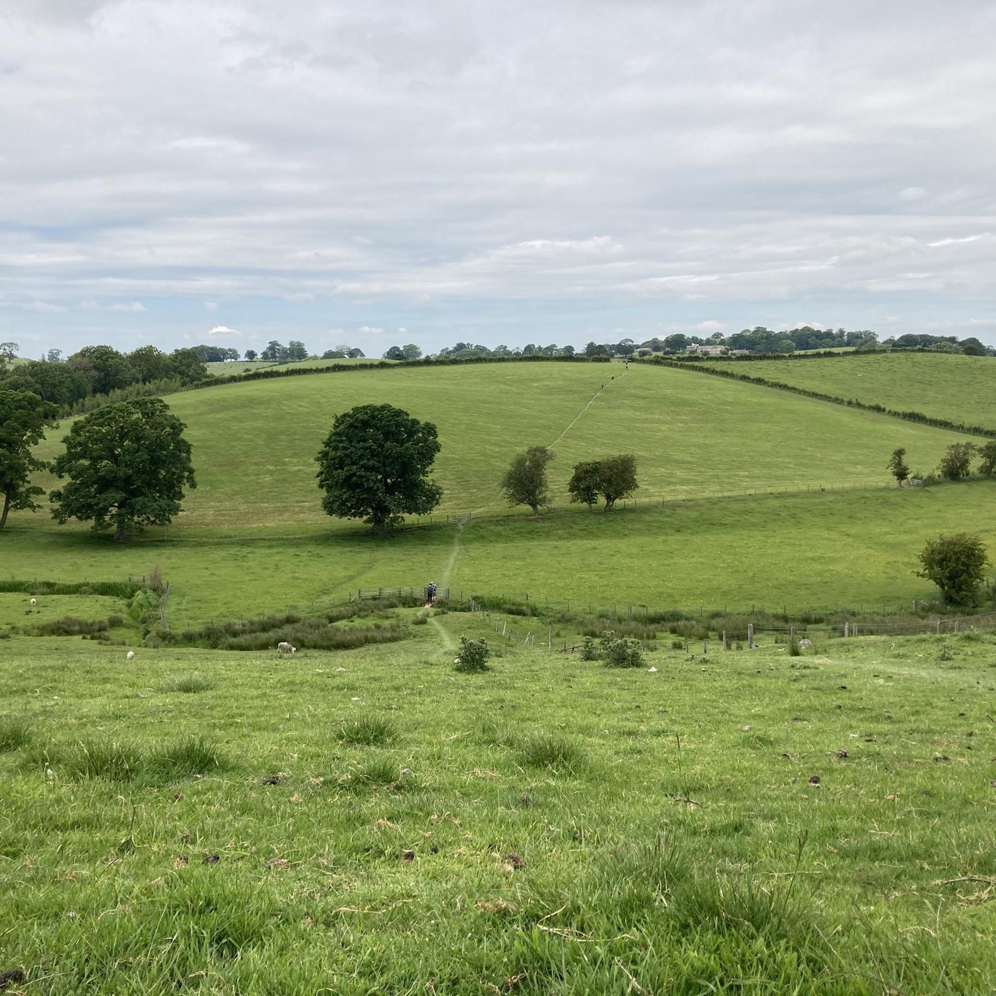
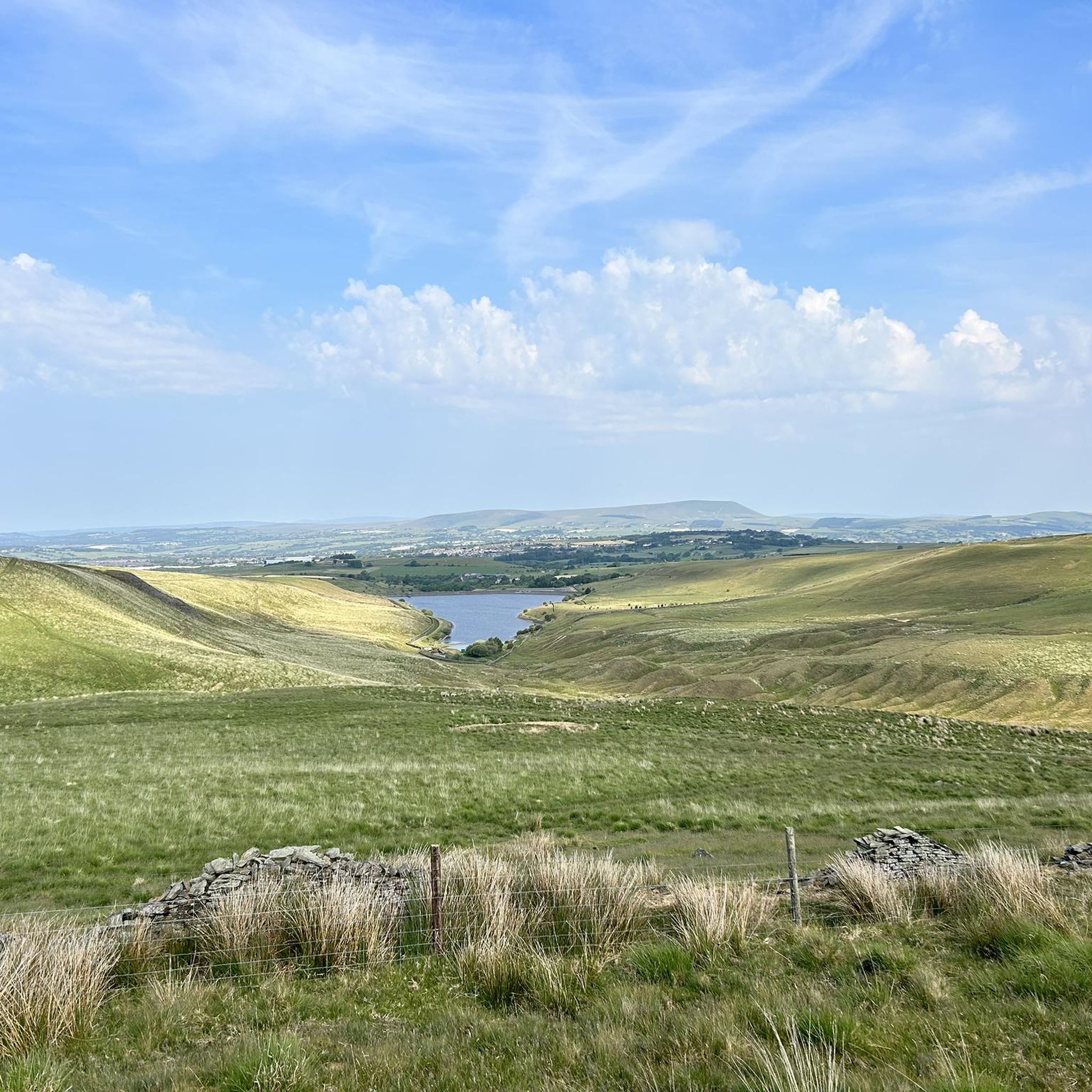
Gravel biking around Barnoldswick offers a diverse landscape characterized by rolling hills, open moorland, and river valleys. The region features a mix of bridleways, quiet country lanes, and forest tracks suitable for gravel bikes. Elevations vary, with some routes including significant climbs and others remaining relatively flat. The terrain provides opportunities for both moderate and more challenging gravel cycling routes near Barnoldswick.
Best gravel bike trails around Barnoldswick
- The most popular gravel bike trail is Higherland Lock – Double Arched…
Last updated: August 13, 2026
15
riders
Moderate gravel ride. Good fitness required. Mostly paved surfaces. Suitable for all skill levels.
5.0
(2)
2
riders
32.2km
02:22
520m
520m
Hard gravel ride. Very good fitness required. Mostly paved surfaces. Suitable for all skill levels.

Sign up for free
5.0
(1)
3
riders
10.2km
00:48
170m
180m
Moderate gravel ride. Good fitness required. Mostly paved surfaces. Suitable for all skill levels.
4
riders
58.1km
04:22
1,240m
1,240m
Hard gravel ride. Very good fitness required. Mostly paved surfaces. Suitable for all skill levels.
2
riders
35.5km
02:39
610m
610m
Hard gravel ride. Very good fitness required. You may need to push your bike for some segments of this route.
Our route recommendations are based on thousands of hikes, rides, and runs completed by other people on komoot.
Start today with a free account
Your next adventure awaits.
Login or Signup
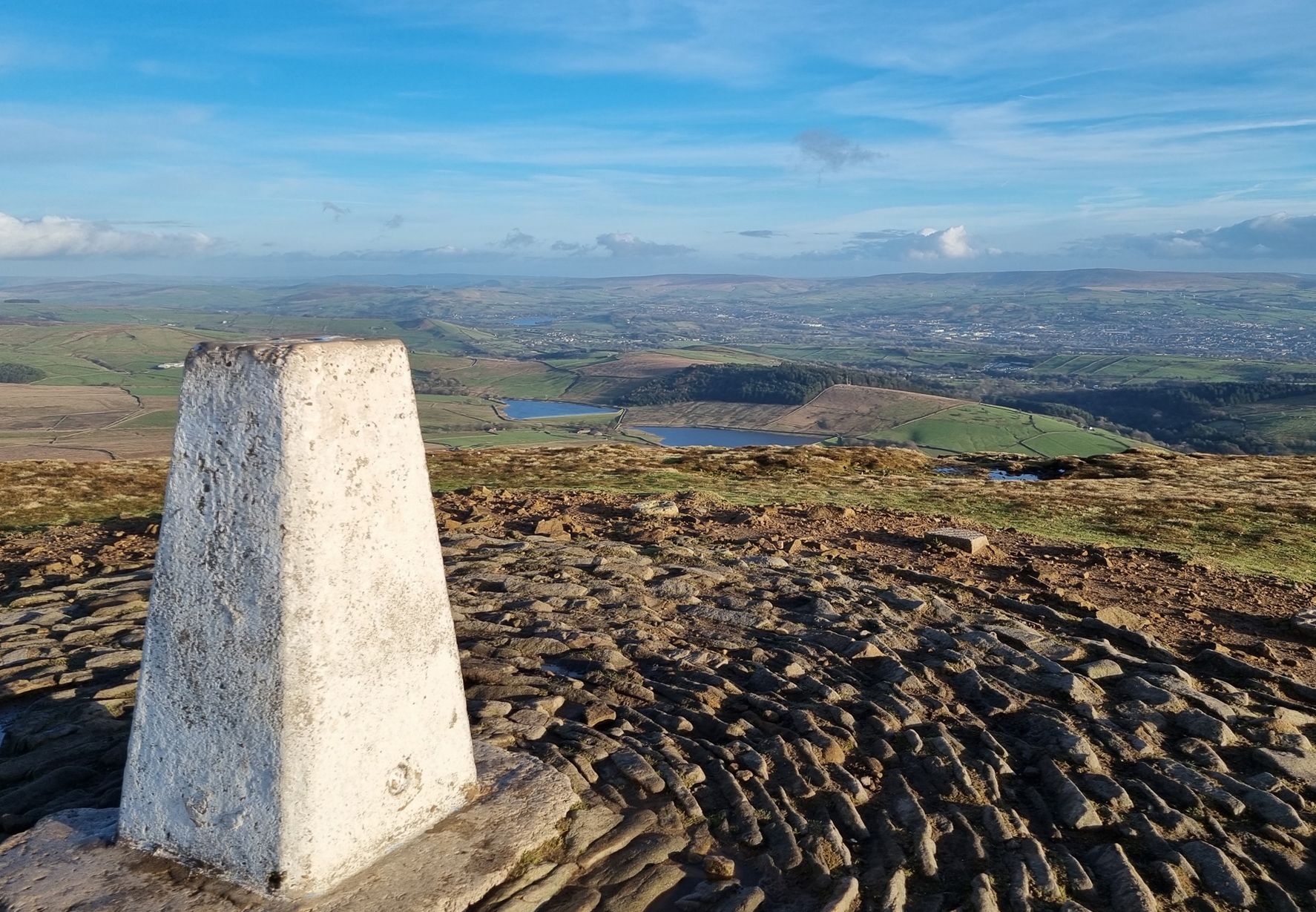
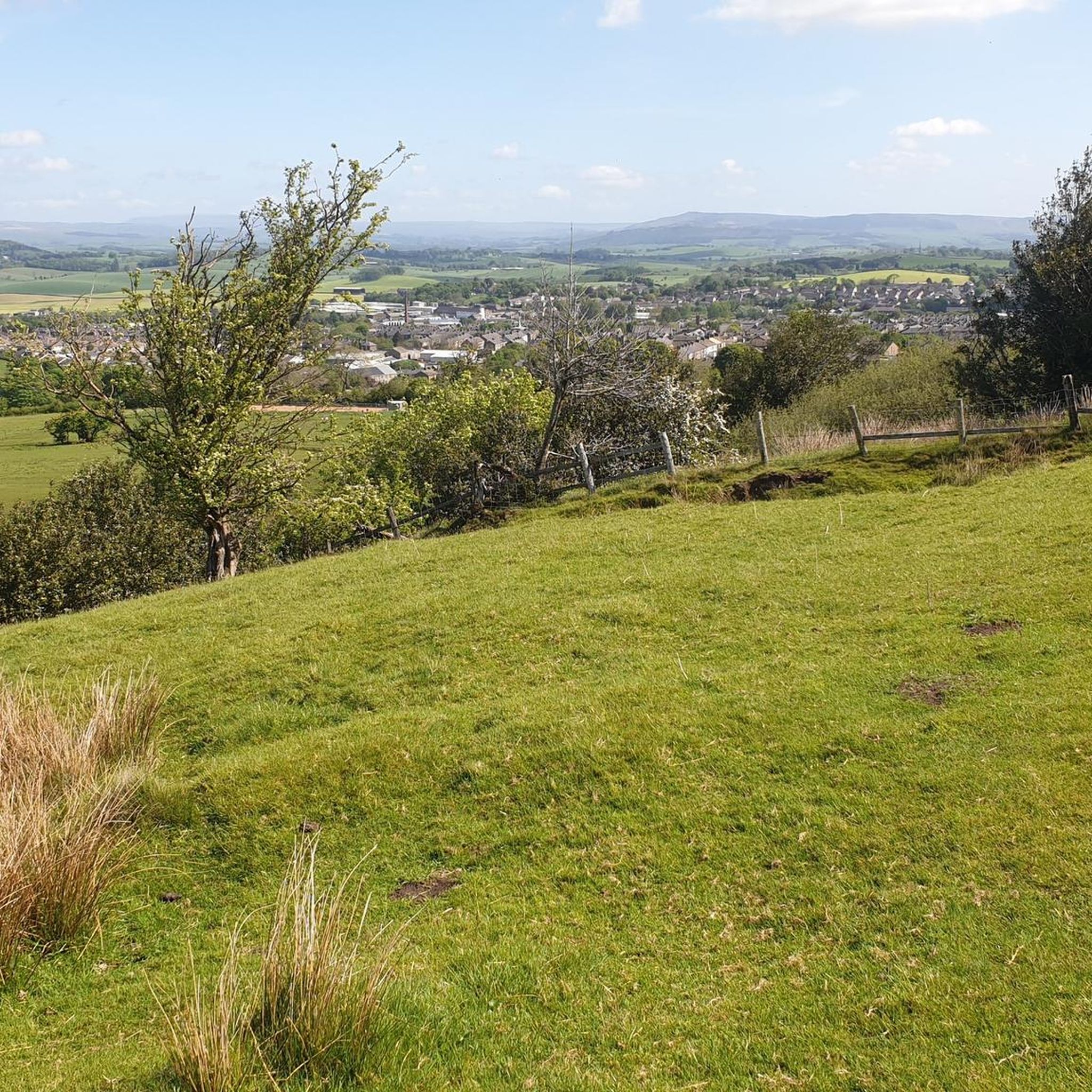
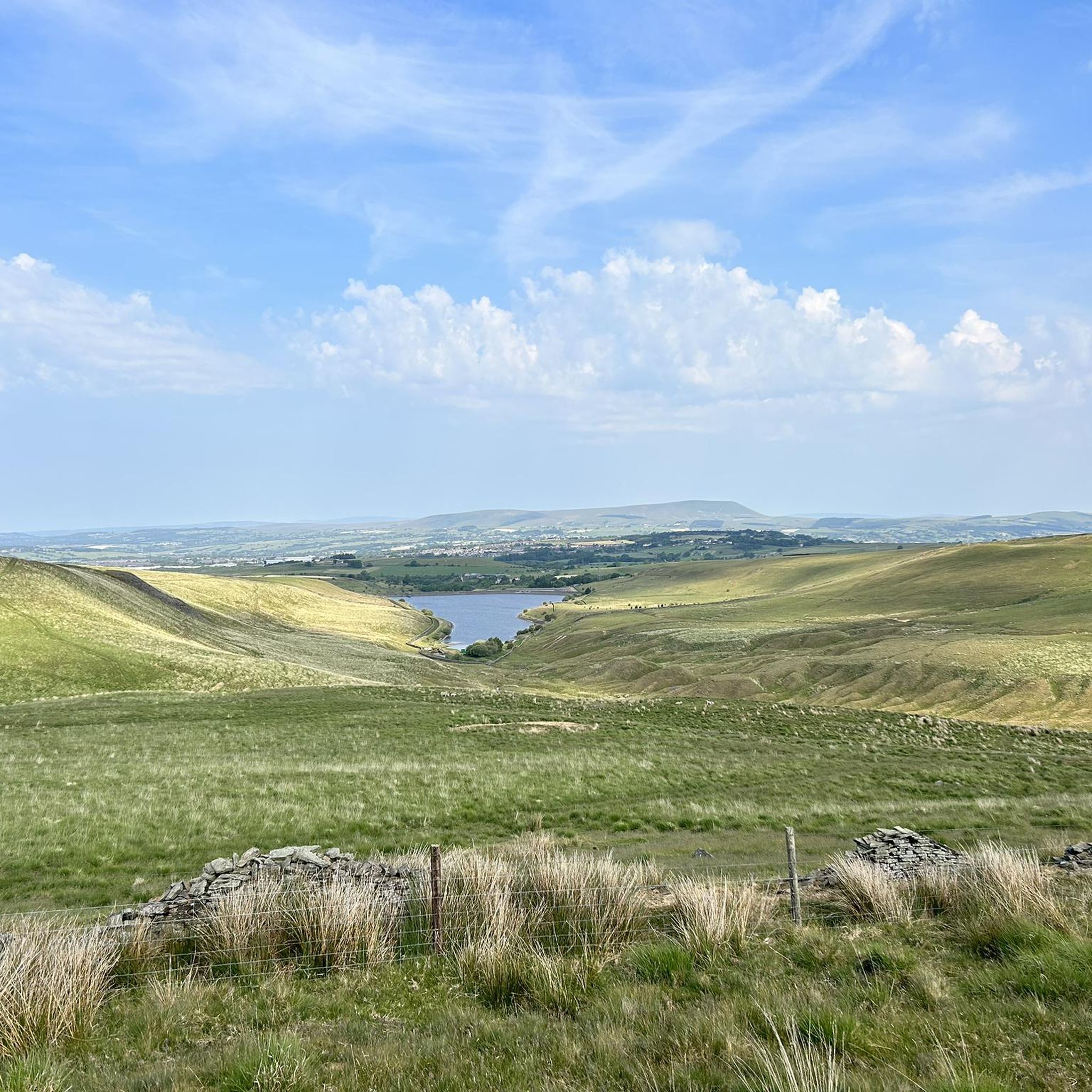
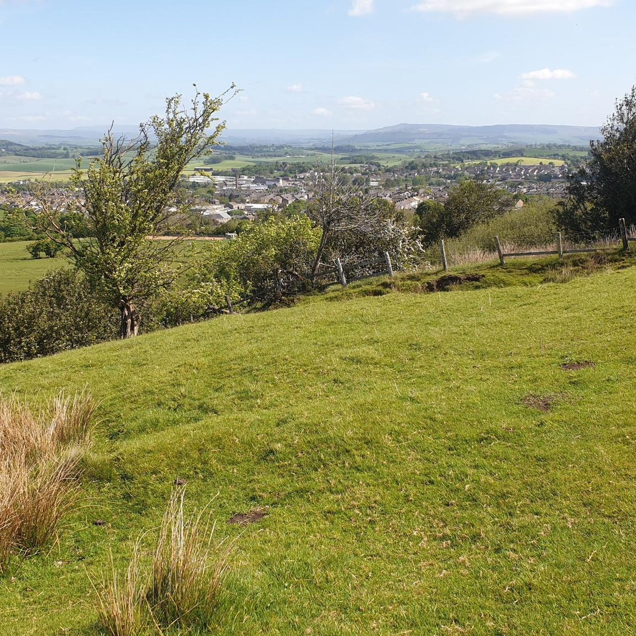
Other adventures around Barnoldswick

Tips from the Community


County Brook is the original divide between Lancashire and the former West Riding of Yorkshire.
0
0

Can be hard to clear the top section, just give it your best shot.
0
0

Rode this on the gravel bike. It’s mostly doable but there are some parts where I had to pick the bike up so I didn’t ruin the drive train. I have a 2x system with 40mm tires. No regrets on taking this route though, there are some incredible views of the the Dales!
1
0
Frequently Asked Questions
What kind of terrain can I expect on gravel bike trails around Barnoldswick?
The gravel bike trails around Barnoldswick offer a varied landscape, featuring rolling hills, expansive open moorland, and picturesque river valleys. You'll encounter a mix of bridleways, quiet country lanes, and forest tracks, providing a diverse riding experience.
Are there gravel bike trails suitable for beginners in Barnoldswick?
Yes, there are moderate trails available. For example, the Wycoller River with Ducks – Wycoller Hall ruins loop from Trawden is a 6.4-mile (10.2 km) route that leads through river valleys and past historic ruins, offering a less strenuous option.
What are some challenging gravel cycling routes near Barnoldswick?
For more experienced riders, routes like the Weets Top – Mark House Lane Bridleway loop from Gargrave offer a significant challenge. This 20.0-mile (32.2 km) path traverses open moorland and includes a substantial elevation gain of over 510 meters. Another difficult option is the Wycoller Hall ruins – View of Widdop Reservoir loop from Cowling, which is nearly 58 km long with over 1200 meters of elevation gain.
Are there any long-distance gravel rides available in the Barnoldswick area?
Absolutely. You can find longer routes such as the Higherland Lock – Double Arched Stone Bridge loop from Thornton in Craven, which covers 27.9 miles (44.8 km) with over 220 meters of elevation. Another option is the Mark House Lane – Mark House Lane Bridleway loop from Gargrave, spanning 35.5 km with over 610 meters of climbing.
What kind of views or landmarks can I expect to see along the gravel trails?
Many routes offer scenic views of the surrounding landscape, including open moorland and river valleys. You might also encounter historical sites like the Wycoller Hall ruins. For panoramic vistas, consider routes that pass near peaks such as Weets Hill Summit & Trig Point or Pinhaw Beacon. Some trails also go past reservoirs like Lower Ogden Reservoir.
What is the best time of year for gravel biking in Barnoldswick?
The best time for gravel biking in Barnoldswick is generally from spring through autumn (April to October) when the weather is milder and the trails are drier. The open moorland sections can be exposed, so checking the forecast is always recommended.
What do other gravel bikers enjoy most about the trails in Barnoldswick?
The gravel biking routes in Barnoldswick are highly rated by the komoot community, with an average score of 5.0 stars. Riders often praise the diverse terrain, from quiet country lanes to challenging moorland climbs, and the opportunities to explore historic bridleways and scenic landscapes.
Are there any loop gravel rides around Barnoldswick?
Yes, many of the gravel routes in the area are designed as loops, allowing you to start and finish in the same location. Examples include the Higherland Lock – Double Arched Stone Bridge loop from Thornton in Craven and the Weets Top – Mark House Lane Bridleway loop from Gargrave.
Is public transport accessible for reaching the gravel bike trails?
While Barnoldswick itself has some bus services, many of the trailheads for gravel routes are located in smaller villages or more rural areas. It's advisable to check local bus timetables for specific starting points, as direct access to all trails via public transport might be limited.
Are there cafes or places to refuel near the gravel trails?
Barnoldswick and surrounding villages offer various cafes and pubs where you can refuel. It's a good idea to plan your route to pass through these settlements or carry sufficient snacks and water, especially on longer or more remote sections of the trails.
What are the winter conditions like for gravel biking in Barnoldswick?
Winter conditions can be challenging. Trails, especially those on open moorland, can become muddy, waterlogged, or even icy. Shorter daylight hours and colder temperatures also require appropriate gear and careful planning. Some routes may be less enjoyable or even impassable in severe winter weather.
Most popular routes around Barnoldswick
Most popular attractions around Barnoldswick

Get inspired with the komoot mobile app


Explore more
Browse the best Gravel rides in other regions.
