The best gravel rides around Colton
4.8
(77)
677
riders
30
rides
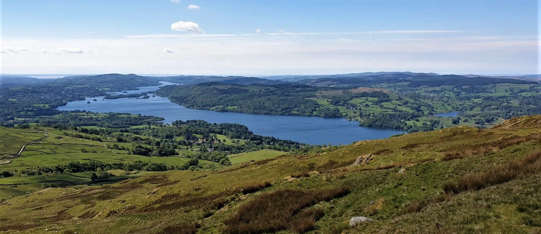
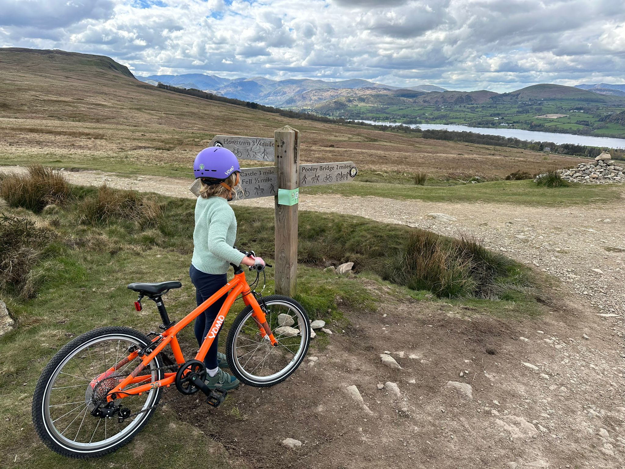
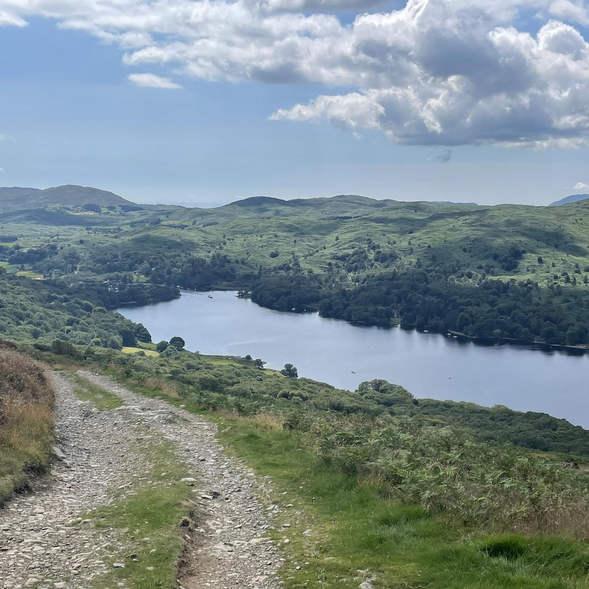
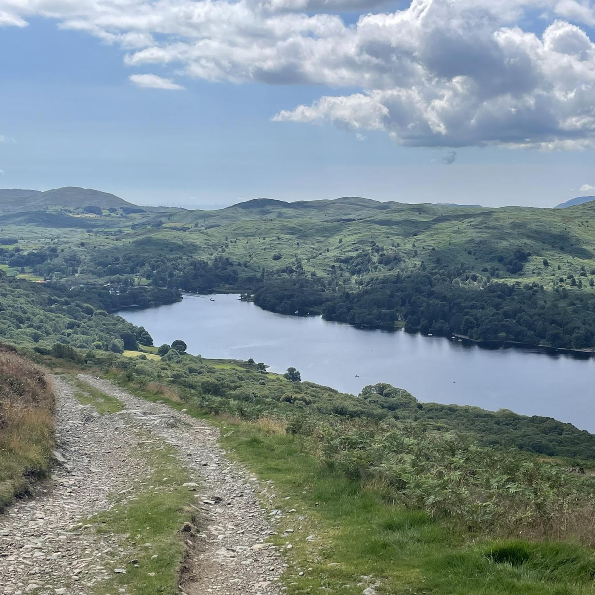
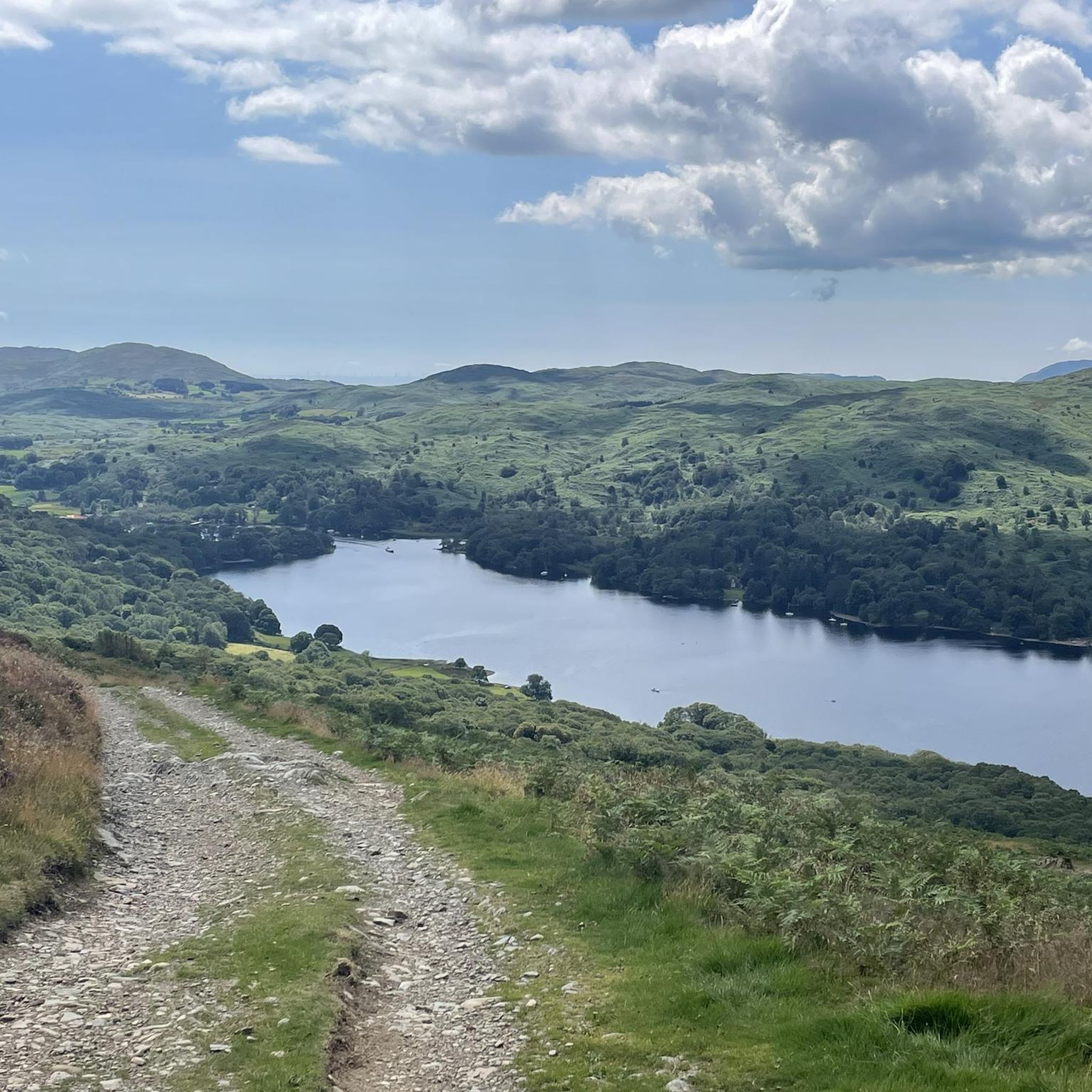
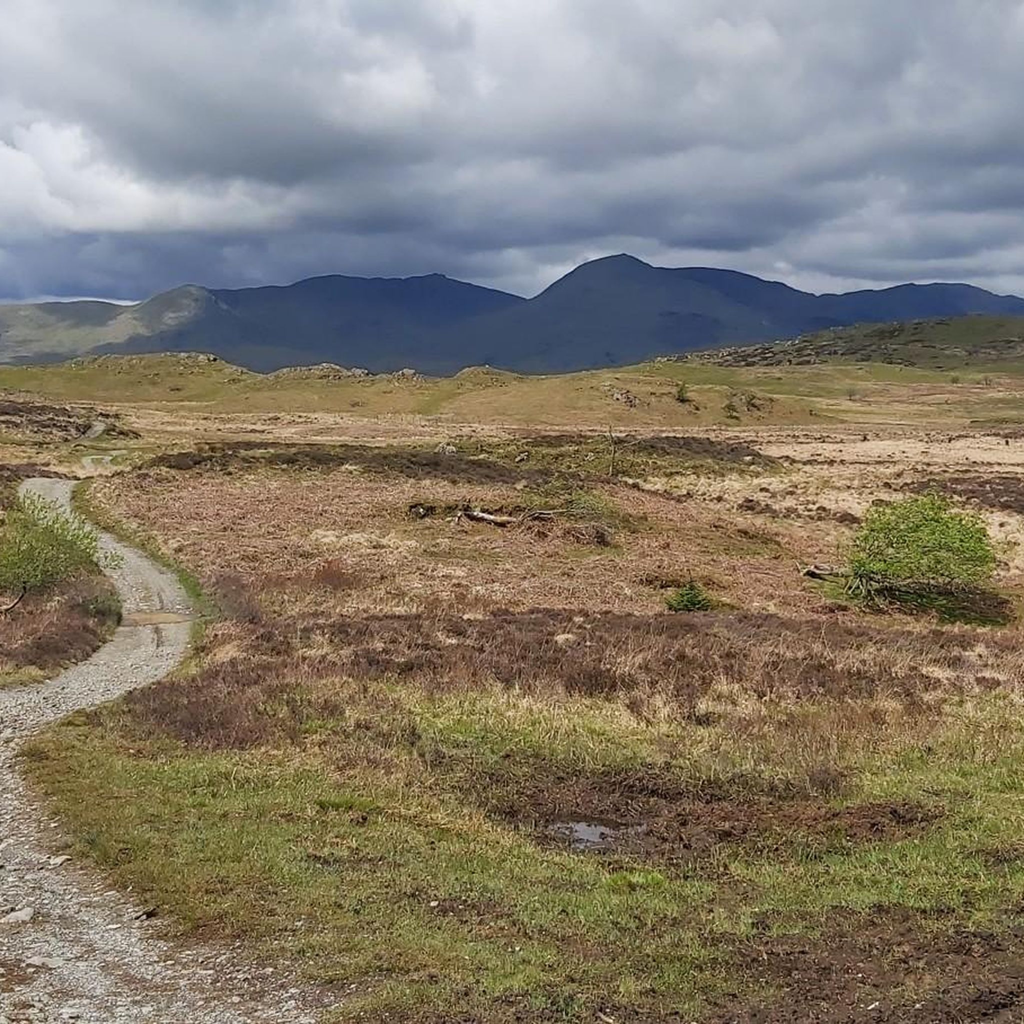
Gravel biking around Colton offers routes through a landscape characterized by rolling hills, dense woodlands, and proximity to major lakes and tarns. The terrain includes a mix of established cycle paths and more rugged tracks, suitable for gravel bikes. Elevation changes are present, with some routes featuring significant climbs. The region's geography provides varied surfaces for gravel cycling.
Best gravel bike trails around Colton
- The most popular gravel bike trail is Elterwater Cycling Routes – Elterwater Cycle Path loop from…
Last updated: July 3, 2026
4.8
(19)
123
riders
47.8km
03:07
800m
800m
Hard gravel ride. Very good fitness required. Mostly paved surfaces. Suitable for all skill levels.
4.8
(12)
106
riders
30.7km
02:03
500m
500m
Hard gravel ride. Very good fitness required. Mostly paved surfaces. Suitable for all skill levels.

Sign up for free
5.0
(3)
69
riders
52.9km
03:28
910m
910m
Hard gravel ride. Very good fitness required. You may need to push your bike for some segments of this route.
4.9
(10)
99
riders
39.8km
02:55
750m
750m
Hard gravel ride. Very good fitness required. Mostly paved surfaces. Suitable for all skill levels.
4.7
(3)
59
riders
51.9km
03:37
950m
950m
Hard gravel ride. Very good fitness required. Mostly paved surfaces. Suitable for all skill levels.
Get access to more routes and recommendations from other explorers.
Sign up for free
Already have an account?
Our route recommendations are based on thousands of hikes, rides, and runs completed by other people on komoot.
Start today with a free account
Your next adventure awaits.
Login or Signup


Tips from the Community

Coniston is located at the northern end of the third largest lake in the Lake District: Coniston Water. Steam yacht cruises are offered on this lake. Coniston is said to be derived from the Old Norse words Konigs Tun or king's settlement. That king is said to have been Thorstein, a Viking who gave his name to Thurstinii Watra, the old name of Coniston Water. (Wikipedia)
5
0
Little Langdale Tarn lies at the foot of the Wrynose Pass and although there is no public access, it is easily visible from the road or from the public bridleway along the southern shore. (Visit Cumbria)
9
0
In Elterwater and its surroundings, it is good for cycling. There are cycle routes through the village, including to Ambleside and Coniston.
9
0
Blea Tarn, a small mountain lake in a valley between Little Langdale and Great Langdale, offers a wide variety of photographic opportunities.
7
0

Stunning area to cycle in, can get very busy in high season though
0
0

There is a cafe about 1m down the track. This would add two miles to any walk!
0
0
Large car park - which can be paid for with card. You will need your card.
0
0

It’s a hard ride up if you’re not used to it, but it’s worth it to THUNDER down the other side 👍🤣
0
0
Frequently Asked Questions
How many gravel bike trails are available around Colton?
Colton offers a diverse selection of over 35 gravel bike trails, catering to various skill levels. You'll find routes ranging from moderate to difficult, providing plenty of options for exploration.
Are there easy gravel bike trails suitable for beginners in Colton?
While many routes in Colton are rated moderate to difficult, there are a few easier options available. For instance, the Coniston Cycleways – Hodge Close Quarry loop from Coniston Water is a moderate route that offers a good introduction to the region's gravel biking.
What are some challenging gravel bike routes for experienced riders in Colton?
Experienced gravel bikers will find plenty of challenging routes. The Elterwater Cycling Routes – Elterwater Cycle Path loop from Satterthwaite is a difficult 29.7-mile trail with significant elevation changes. Another demanding option is the Coniston Village – View of Little Langdale Tarn loop from Satterthwaite, spanning 32.5 miles with substantial climbs.
Can I find long-distance gravel cycling routes in Colton?
Yes, Colton features several long-distance gravel routes. The Coniston Village – View of Little Langdale Tarn loop from Satterthwaite covers over 32 miles, and the Elterwater Cycling Routes – Elterwater Cycle Path loop from Satterthwaite is nearly 30 miles, both offering extensive rides through the landscape.
Are there circular gravel bike routes around Colton?
Many of the gravel bike trails in Colton are designed as loops, allowing you to start and finish at the same point. Examples include the Hawkshead Village – View of Lake Windermere loop from Satterthwaite and the View of Lake Windermere – Wray Castle loop from Staveley-in-Cartmel.
What kind of scenery can I expect on Colton's gravel bike trails?
Gravel biking around Colton offers diverse scenery, including rolling hills, dense woodlands, and stunning views of major lakes and tarns like Windermere, Coniston Water, and Little Langdale Tarn. You'll encounter a mix of established cycle paths and more rugged tracks through this varied landscape.
Are there any specific landmarks or points of interest along the gravel routes?
Yes, several routes pass by notable landmarks and natural features. You can find trails that offer views of Orrest Head or Brant Fell. Some routes also lead past unique geological features like Hodge Close Quarry.
What do other komoot users say about gravel biking in Colton?
The gravel biking routes in Colton are highly rated by the komoot community, with an average score of 4.8 stars from over 60 reviews. Users frequently praise the varied terrain, beautiful lake views, and challenging ascents that define the region's trails.
What is the typical duration for gravel bike trails in Colton?
The duration of gravel bike trails in Colton varies significantly depending on the route's length and difficulty. Shorter loops, like the Hawkshead Village – View of Lake Windermere loop from Satterthwaite, can be completed in about 2 hours. Longer, more challenging routes can take 3 hours or more, such as the Elterwater Cycling Routes – Elterwater Cycle Path loop from Satterthwaite.
What is the terrain like for gravel biking around Colton?
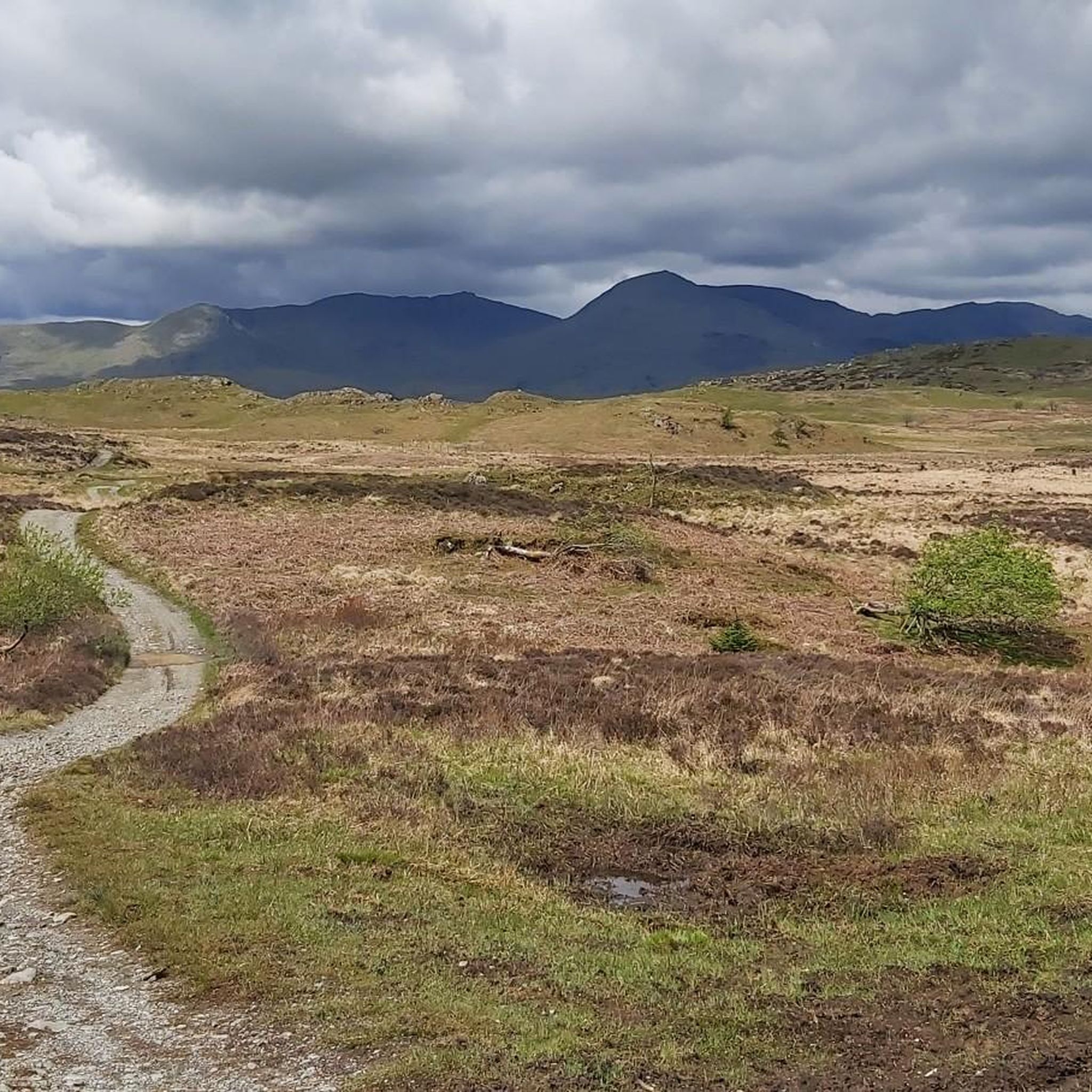
The terrain around Colton is characterized by a mix of surfaces suitable for gravel bikes. You'll encounter established cycle paths, forest tracks, and more rugged sections. The landscape includes rolling hills and significant elevation changes, providing a varied and engaging riding experience.
Are there routes that offer views of Lake Windermere or other major lakes?
Absolutely. Many gravel routes in Colton provide stunning views of the region's iconic lakes. The Hawkshead Village – View of Lake Windermere loop from Satterthwaite and the View of Lake Windermere – Wray Castle loop from Staveley-in-Cartmel are excellent choices for panoramic lake vistas.
Most popular routes around Colton
Most popular attractions around Colton

Get inspired with the komoot mobile app


Explore more
Browse the best Gravel rides in other regions.
