The best gravel rides around Culgaith
5.0
(15)
114
riders
5
rides
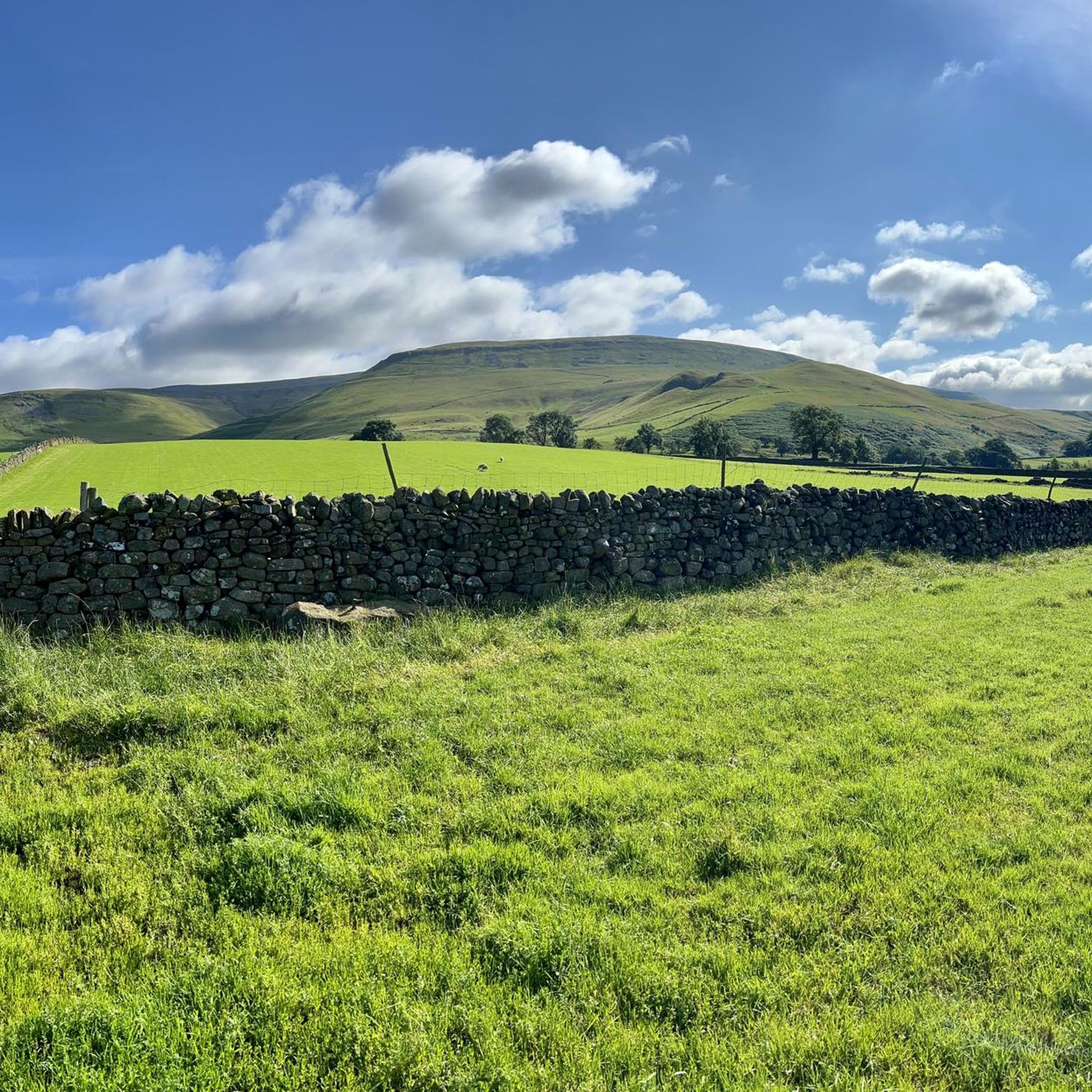
Gravel biking around Culgaith offers access to diverse landscapes within the Eden Valley, situated between the Lake District and the Northern Pennines. The region features a network of routes combining paved and unpaved surfaces, including forest tracks, quiet country lanes, and bridleways. To the east, the area is bordered by the North Pennines, an Area of Outstanding Natural Beauty, which includes Cross Fell, the highest point in the Pennines, and offers extensive opportunities for gravel riding on its fringes and…
Last updated: July 3, 2026
5.0
(6)
44
riders
40.2km
02:58
570m
570m
Hard gravel ride. Very good fitness required. You may need to push your bike for some segments of this route.
5.0
(2)
12
riders
17.3km
01:25
290m
290m
Moderate gravel ride. Good fitness required. Mostly paved surfaces. Suitable for all skill levels.

Sign up for free
4
riders
49.7km
04:10
1,130m
1,130m
Hard gravel ride. Very good fitness required. Mostly paved surfaces. Suitable for all skill levels.
4
riders
70.3km
04:43
1,090m
1,090m
Hard gravel ride. Very good fitness required. Mostly paved surfaces. Suitable for all skill levels.
5.0
(1)
8
riders
16.2km
01:09
170m
170m
Moderate gravel ride. Good fitness required. Mostly paved surfaces. Suitable for all skill levels.
Our route recommendations are based on thousands of hikes, rides, and runs completed by other people on komoot.
Start today with a free account
Your next adventure awaits.
Login or Signup
Other adventures around Culgaith

Tips from the Community

What goes up must come down. As the top is a dead end there is only one way down. Just watch out for the sheep crossing the road
0
0
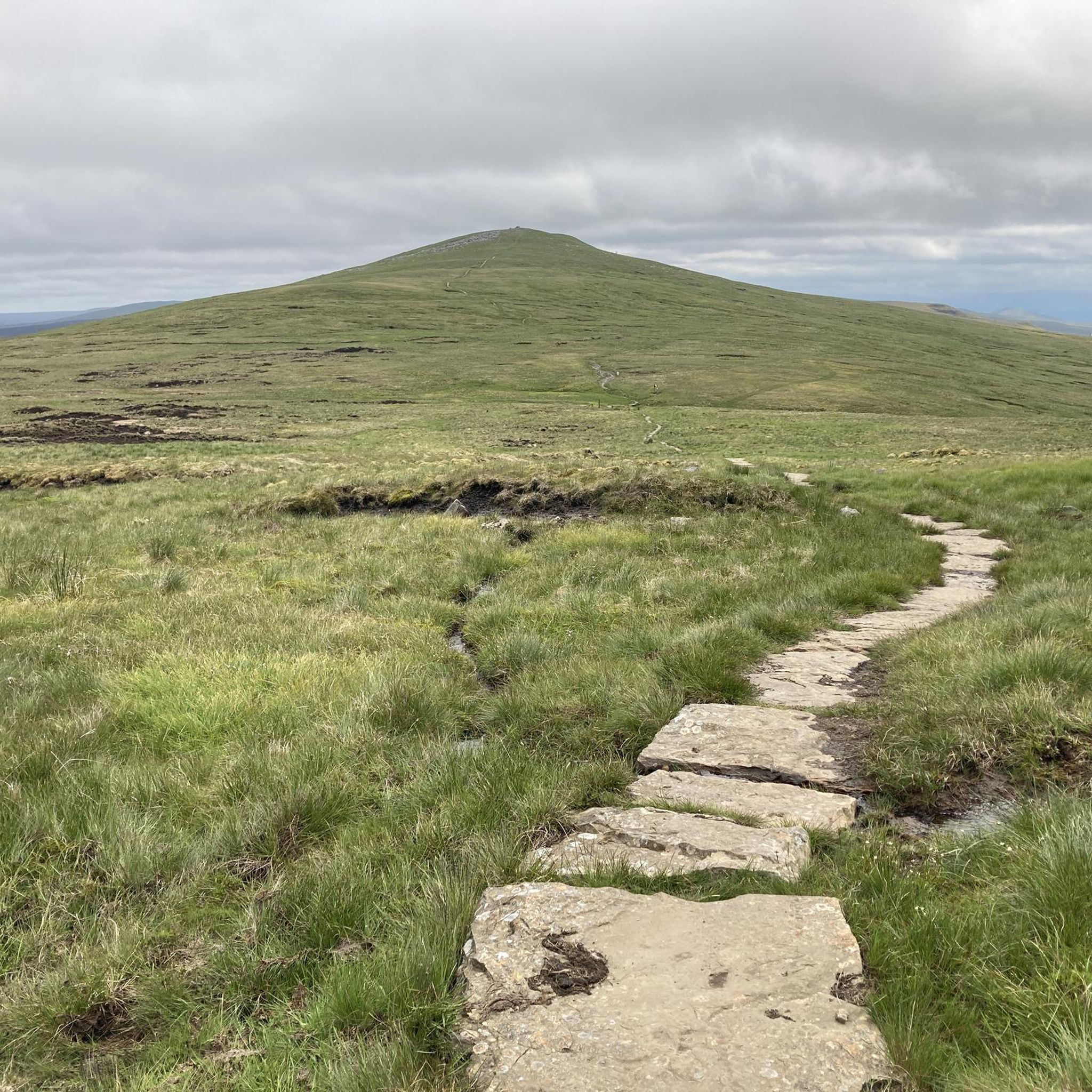
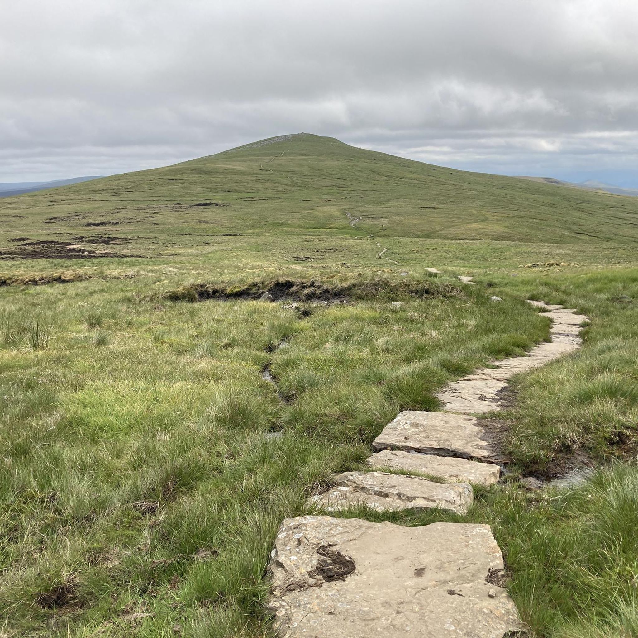
What a climb. Englands highest continuous climb. It’s difficult to set back off a the gate half way up but rest your back wheel on it for a push off
0
0

The Cockpit is a 3,500–5,000-year-old Bronze Age stone circle (27m diameter) located on Moor Divock in the Lake District National Park, overlooking Ullswater. It features roughly 70–75, mainly recumbent, stones set into a circular embankment, likely serving as a prehistoric gathering place. It is accessible via walking trails from Askham or Pooley Bridge.
0
0


Doable on a gravel bike. Some hike-a-bike dependent on your skills.
0
0

Lovely quiet roads, so much more peaceful than the south lakes!
0
0
Lovely views from Askham fell before the excellent decent towards Pooley Bridge.
0
0

Low Gardens Bridge spans the River Lowther at Earl Henry's Drive. It is an old Grade II listed stone arch bridge which has a new steel beam bridge next to it.
0
0
Frequently Asked Questions
What kind of terrain can I expect on gravel bike trails around Culgaith?
Gravel biking around Culgaith offers a diverse mix of surfaces. You'll encounter forest tracks, quiet country lanes, and more rugged bridleways. The region is characterized by rolling hills, open moorland, and river valleys, providing varied challenges from moderate rides to challenging excursions with significant climbs, especially towards the North Pennines.
Are there any easy or moderate gravel bike routes suitable for beginners near Culgaith?
Yes, there are moderate routes available. For example, the Lowther Castle – Askham Fell loop from Clifton is a moderate 10.8-mile (17.4 km) path with 956 feet (291 m) of ascent, which can be completed in about 1 hour 41 minutes. Another moderate option is the Low Gardens Bridge – Lowther Castle loop from Penrith, covering 16.2 km with 172 meters of elevation gain.
Where can I find challenging gravel bike routes around Culgaith?
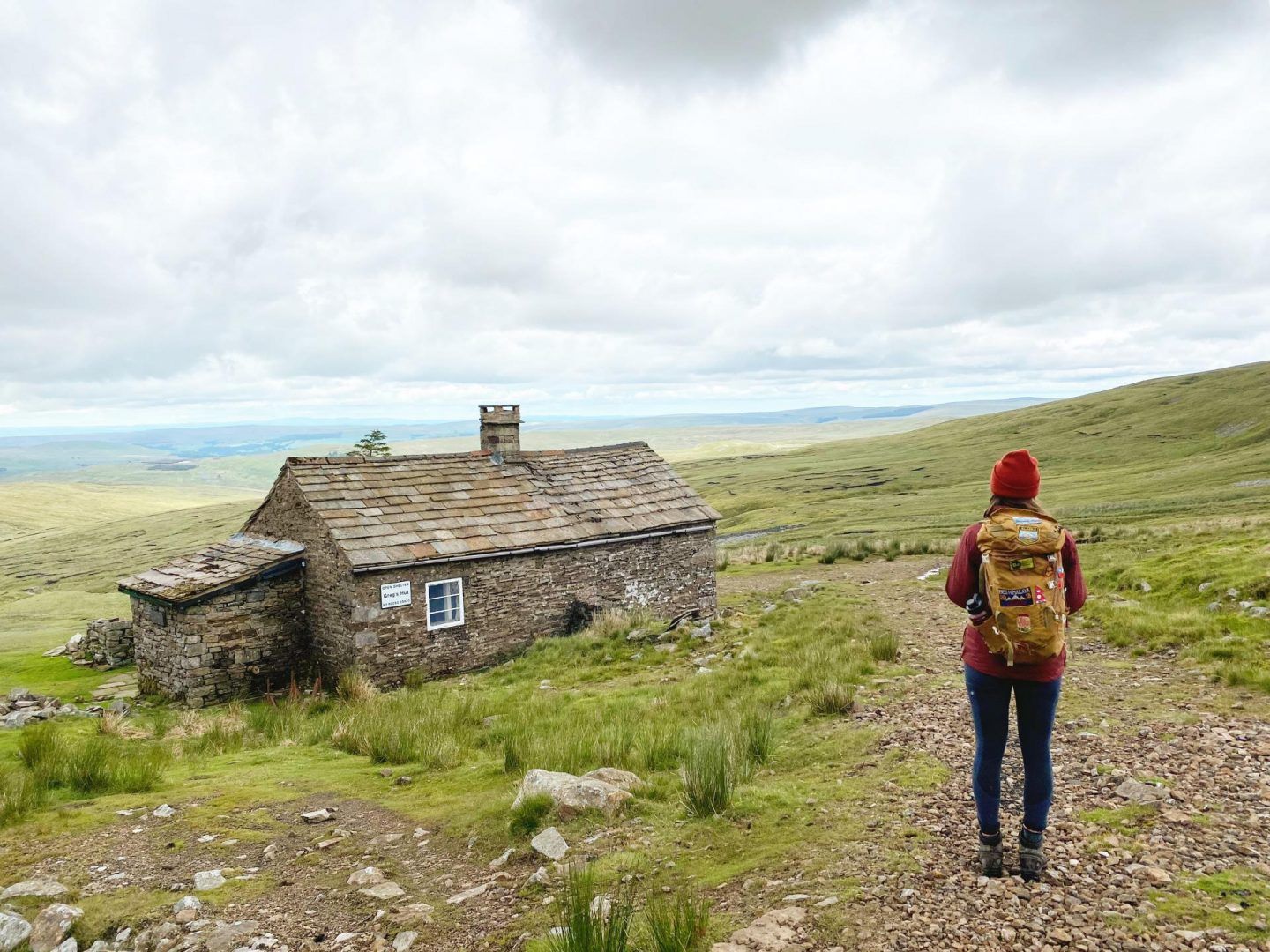
For more challenging rides, consider routes that venture towards the fells and the North Pennines. The Lowther Castle – View of Ullswater loop from Penrith (North Lakes) is a difficult 25-mile (40.2 km) trail with over 1,879 feet (573 m) of elevation gain. Another demanding option is the Greg's Hut – Great Dun Fell Access Road loop from Skirwith, a 30.9-mile (49.7 km) trail leading through the North Pennines with over 1,134 meters of ascent.
What attractions or landmarks can I see along the gravel bike trails near Culgaith?
Many routes offer scenic views and pass by notable attractions. You might encounter historical sites like Lowther Castle, or natural features such as Cross Fell Summit and High Cup Nick. Some trails also offer views of the Lakeland Fells to the west. For specific climbs and viewpoints, consider areas around Hartside Pass.
Are there any circular gravel bike routes in the Culgaith area?
Yes, many of the gravel routes around Culgaith are designed as loops. Examples include the Lowther Castle – View of Ullswater loop from Penrith (North Lakes) and the Lowther Castle – Askham Fell loop from Clifton. These circular routes allow you to start and finish in the same location, making logistics easier.
What do other gravel bikers enjoy most about riding in Culgaith?
The gravel biking routes in Culgaith are highly rated by the komoot community, with an average score of 4.6 stars from over 15 reviews. Riders often praise the diverse landscapes, from quiet country roads to rugged bridleways, and the stunning views of the Eden Valley, Lakeland Fells, and the North Pennines.
Is Culgaith well-connected by public transport for cyclists?
Culgaith is situated on the famous Settle-Carlisle railway line, with the nearest working station at Langwathby, approximately 3 miles away. This offers a unique public transport option for reaching the area, though local bus services might be limited. Planning your route to or from Langwathby could be an option.
Are there places to eat or stay in Culgaith for cyclists?
Yes, Culgaith itself has local amenities catering to visitors. The Black Swan pub offers food and accommodation, and Mrs Miller's Tearoom provides a spot for refreshments. The wider Eden Valley also has various options for cafes, pubs, and accommodation.
What is the best season for gravel biking around Culgaith?
The Eden Valley and surrounding areas are beautiful year-round, but spring and summer generally offer the most pleasant conditions for gravel biking with longer daylight hours and milder weather. Autumn provides stunning scenery with changing foliage. Be prepared for potentially wet and windy conditions, especially at higher elevations in the North Pennines, regardless of the season.
Are there any specific permits required for gravel biking in the Culgaith area or the North Pennines?
Generally, no specific permits are required for gravel biking on public bridleways and byways in the Culgaith area or within the North Pennines AONB. However, always respect private land and follow the Countryside Code. Some specific trails or events might have their own regulations, so it's always good to check local signage.
Where can I find parking for gravel biking trails near Culgaith?
While specific parking areas for each trail are not detailed, many routes start from villages or towns like Penrith, Clifton, or Skirwith, where public parking facilities are typically available. When planning your ride, check the starting point of your chosen route for nearby parking options.
Can I bring my dog on gravel bike trails around Culgaith?
Many public bridleways and country lanes are suitable for cycling with dogs, provided they are well-behaved and kept under control, especially around livestock. Always check local signage for any restrictions, particularly in nature reserves or specific land access areas, and ensure you clean up after your dog.
Most popular attractions around Culgaith

Get inspired with the komoot mobile app


Explore more
Browse the best Gravel rides in other regions.
