Hollinswood And Randlay
Hollinswood And Randlay
The best gravel rides around Hollinswood And Randlay
4.6
(12)
89
riders
6
rides
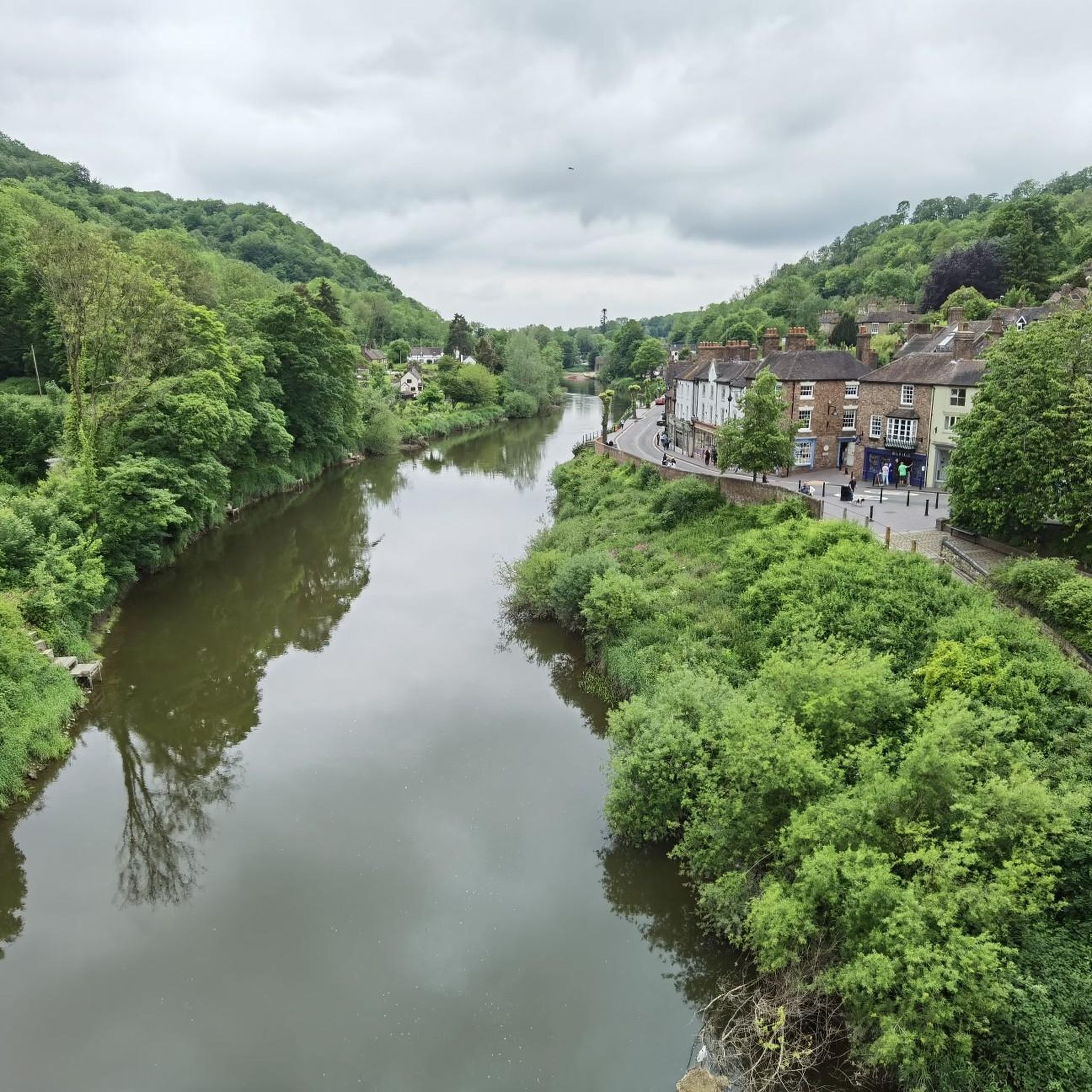
Gravel biking around Hollinswood And Randlay offers access to varied terrain within the Borough of Telford and Wrekin. The area features the Randlay Valley Local Nature Reserve, characterized by ancient and semi-natural woodlands alongside grassland glades. This region provides connections to wider cycling networks, including pathways within Telford Town Park and the traffic-free Silkin Way and National Cycle Network Route 55. The landscape combines natural features with routes that explore historical settings, often following disused canal beds and historic railway…
Last updated: October 20, 2026
4.0
(5)
42
riders
46.6km
02:43
400m
400m
Moderate gravel ride. Good fitness required. Mostly paved surfaces. Suitable for all skill levels.
5.0
(1)
17
riders
58.6km
03:31
600m
600m
Hard gravel ride. Very good fitness required. Mostly paved surfaces. Suitable for all skill levels.

4.5
(4)
21
riders
Moderate gravel ride. Good fitness required. Mostly paved surfaces. Suitable for all skill levels.
3
riders
44.3km
03:06
710m
710m
Hard gravel ride. Very good fitness required. Mostly paved surfaces. Suitable for all skill levels.
5.0
(2)
4
riders
22.9km
01:28
320m
320m
Moderate gravel ride. Good fitness required. Mostly paved surfaces. Suitable for all skill levels.
Our route recommendations are based on thousands of hikes, rides, and runs completed by other people on komoot.
Start today with a free account
Your next adventure awaits.
Tips from the Community

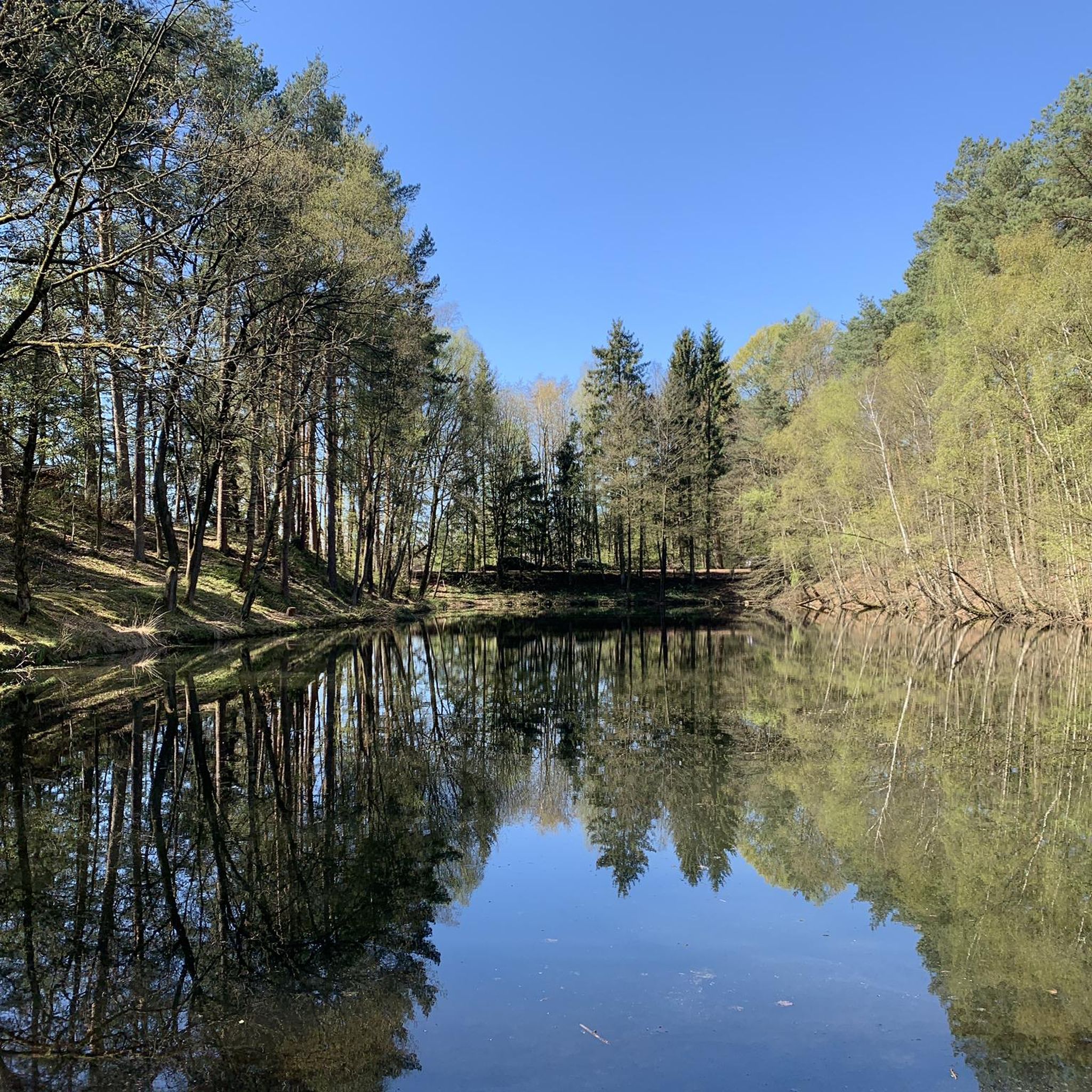
Fantastic gravel path between Newport to Stafford
0
0

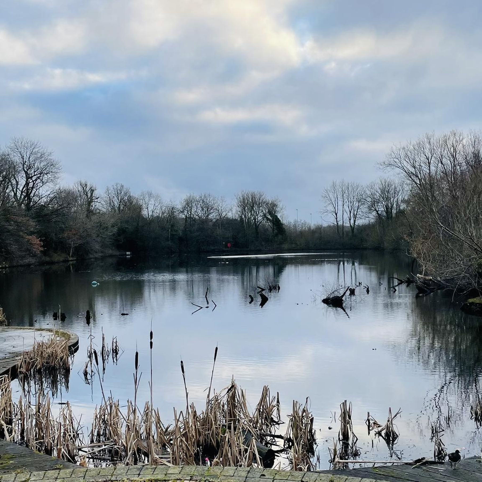
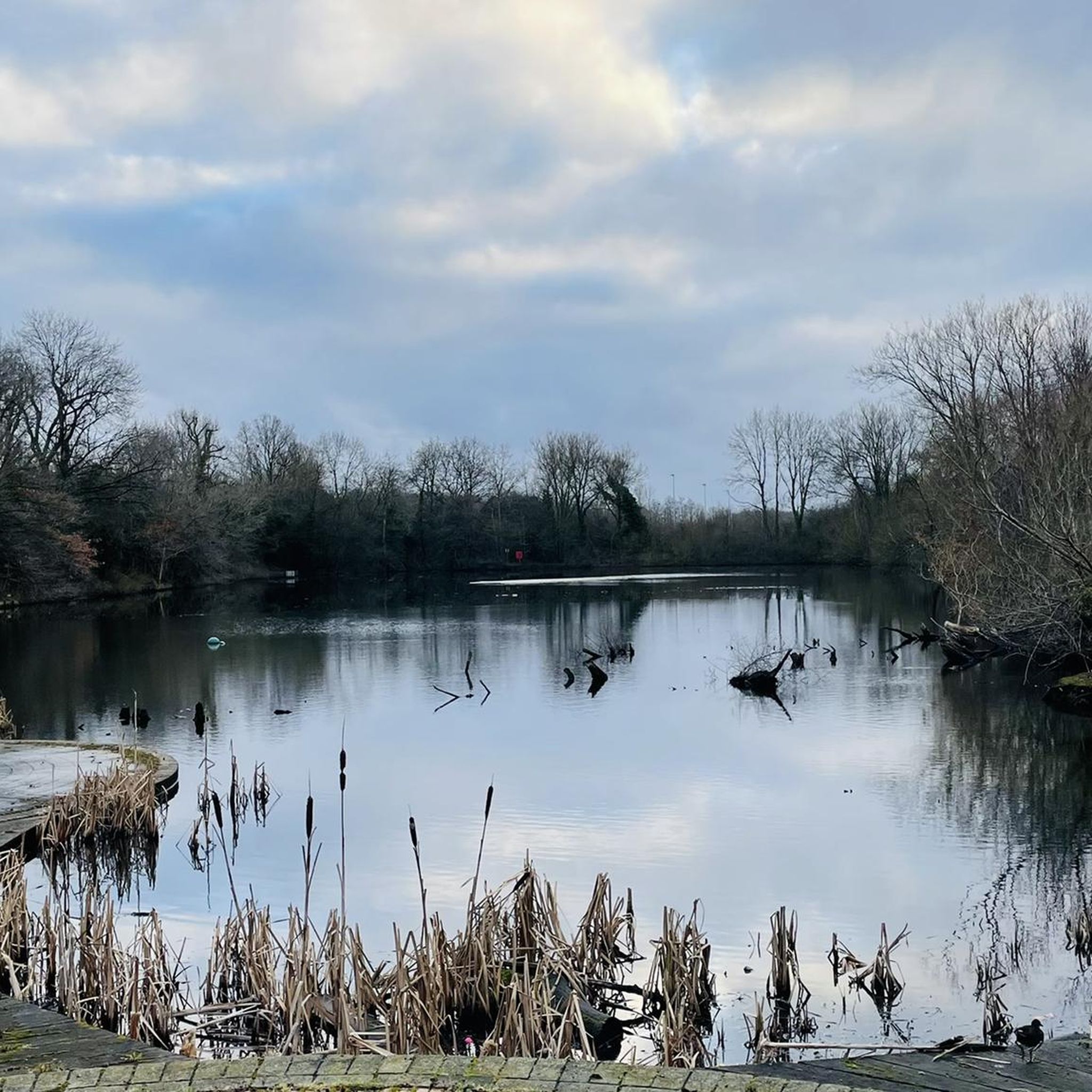
Lovely old bridge that marks the beginning of the end of the Geopark Way - there is just the climb to the castle to go!
0
0


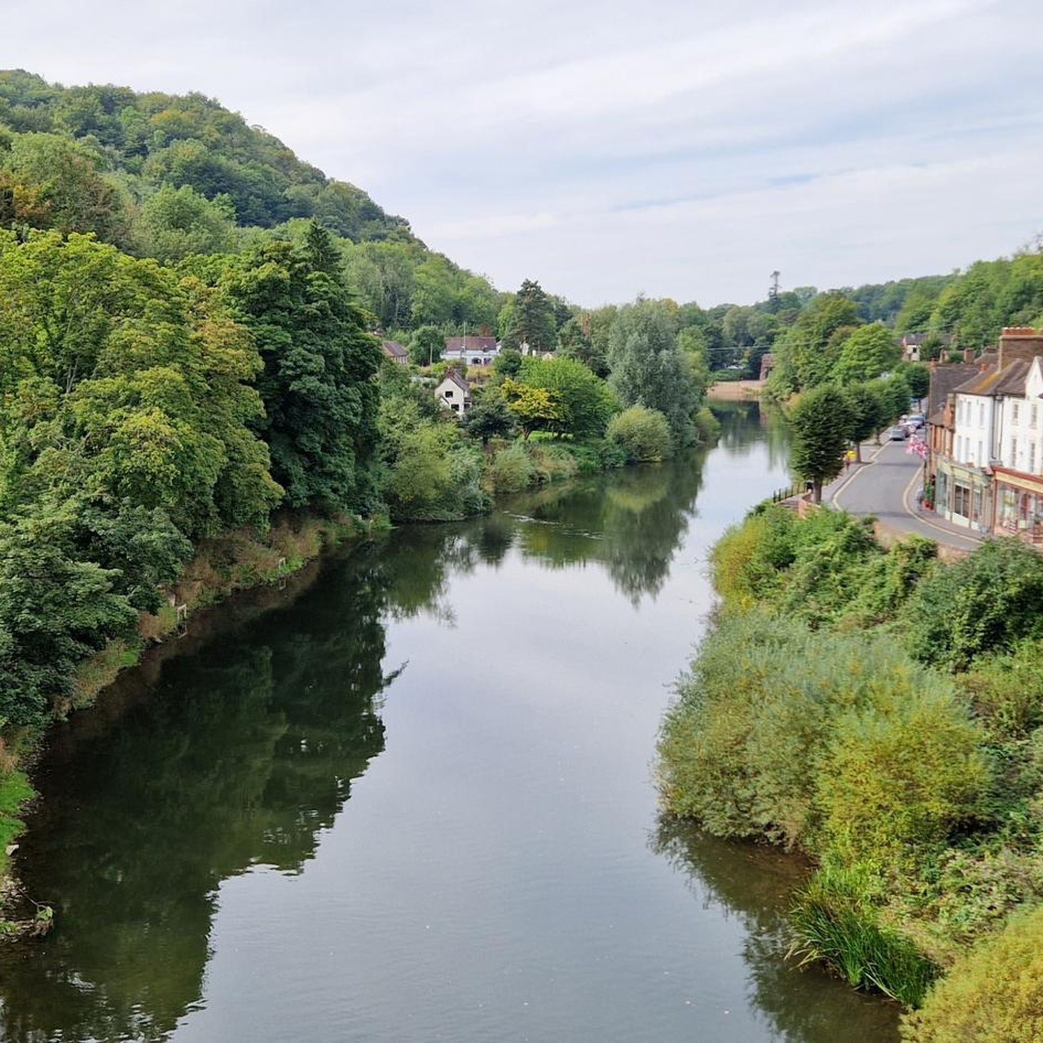
BRIDGNORTH, St. Mary Magdalene. Photo taken from the bridge
0
0
Frequently Asked Questions
How many gravel bike trails are available in Hollinswood And Randlay?
There are over 15 gravel bike trails available around Hollinswood And Randlay, offering a variety of distances and difficulties. You'll find options ranging from moderate to difficult, with one easy route suitable for beginners.
What kind of terrain can I expect on gravel bike trails in Hollinswood And Randlay?
The terrain around Hollinswood And Randlay is quite varied. You can expect to ride through ancient and semi-natural woodlands, grassland glades, and along disused canal beds and historic railway lines. The area connects to wider cycling networks, including pathways within Telford Town Park and the Sustrans Route 55, offering a mix of natural beauty and historical settings.
What is the best time of year to go gravel biking in Hollinswood And Randlay?
The summer months are particularly pleasant for gravel biking in Hollinswood And Randlay, as the grassland glades in areas like the Randlay Valley Local Nature Reserve become vibrant with wildflowers and insects. However, the varied terrain, including woodlands and former railway lines, offers enjoyable riding conditions throughout much of the year, though winter conditions might require more robust tires.
Are there options for less experienced gravel bikers?
Yes, there is at least one easy gravel route available, and several moderate options that might be suitable for less experienced riders looking for a gentle introduction. The area's commitment to improving accessibility, such as refurbished steps and shallow ramps on some trails, also benefits those seeking gentler routes.
Are there more challenging gravel routes for experienced riders?
Absolutely. For experienced riders seeking a challenge, there are 9 difficult routes available. One such route is the View of the Iron Bridge – Coalport Bridge loop from Broseley, which covers 28.8 miles (46.3 km) with significant elevation changes, offering a demanding ride through scenic landscapes.
Are there any circular gravel biking routes in the area?
Yes, many of the gravel biking routes in the area are circular. For example, the Coalport Bridge – Bridgnorth Bridge loop from Cosford is a moderate 30.2 miles (48.6 km) circular trail that allows you to explore the region without retracing your steps.
What natural features or landmarks can I see while gravel biking in Hollinswood And Randlay?
While gravel biking, you can explore the Randlay Valley Local Nature Reserve with its ancient woodlands and grassland glades. Further afield, you might encounter significant landmarks such as The Wrekin summit, The Wrekin Hillfort, or the unique Needle's Eye. The routes also connect to the UNESCO World Heritage Site of the Ironbridge Gorge, offering historical exploration.
Is there public transport access to the gravel bike trails?
Hollinswood And Randlay is situated within the Borough of Telford and Wrekin, which generally has good accessibility. While specific public transport links directly to trailheads might vary, Telford Central is a key transport hub, and some routes, like the popular View of the Iron Bridge – Coalport Bridge loop from Telford Central, start from there, making them accessible by public transport.
Are there any family-friendly gravel biking routes?
The area offers pathways suitable for families, particularly those connecting to Telford Town Park and the traffic-free Sustrans Route 55. These routes often follow disused canal beds and historic railway lines, providing a safer and more enjoyable experience for families. The Randlay Valley Local Nature Reserve also has accessible paths that could be suitable for gentler family rides.
What do other gravel bikers enjoy the most about gravel biking in Hollinswood And Randlay?
The area is highly rated by the komoot community, with an average score of 4.4 stars from over 10 reviews. Reviewers often praise the varied terrain, the blend of natural beauty with historical exploration, and the well-maintained paths that make for an enjoyable gravel biking experience.
Can I find routes that include pub or cafe stops?
While specific pub or cafe stops are not detailed for every route, the region's proximity to towns like Ironbridge and Newport, which are often part of longer loops, means you can plan your rides to include stops for refreshments. Many routes pass through or near villages where local amenities are available.
Are there any long-distance gravel cycling routes near Hollinswood And Randlay?
Yes, the area is well-suited for longer rides. For instance, the View of the Iron Bridge – Bridgnorth Bridge loop from Ironbridge is a challenging 36.4 miles (58.5 km) path, perfect for those looking for a full day out on their gravel bike.
Most popular routes around Hollinswood And Randlay
Most popular attractions around Hollinswood And Randlay

Get inspired with the komoot mobile app


Explore more
Browse the best Gravel rides in other regions.
