The best gravel rides around Erringden
4.6
(6)
89
riders
11
rides
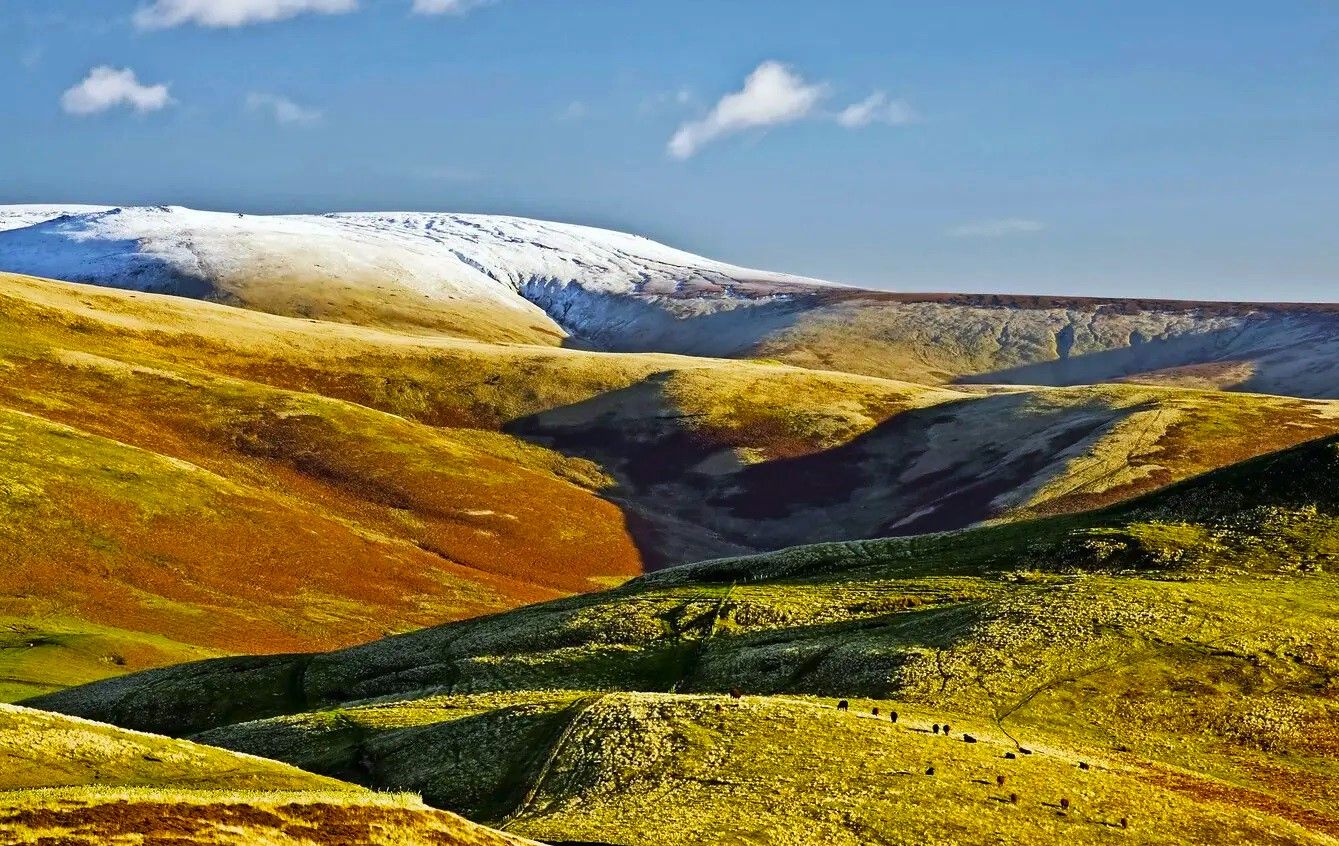
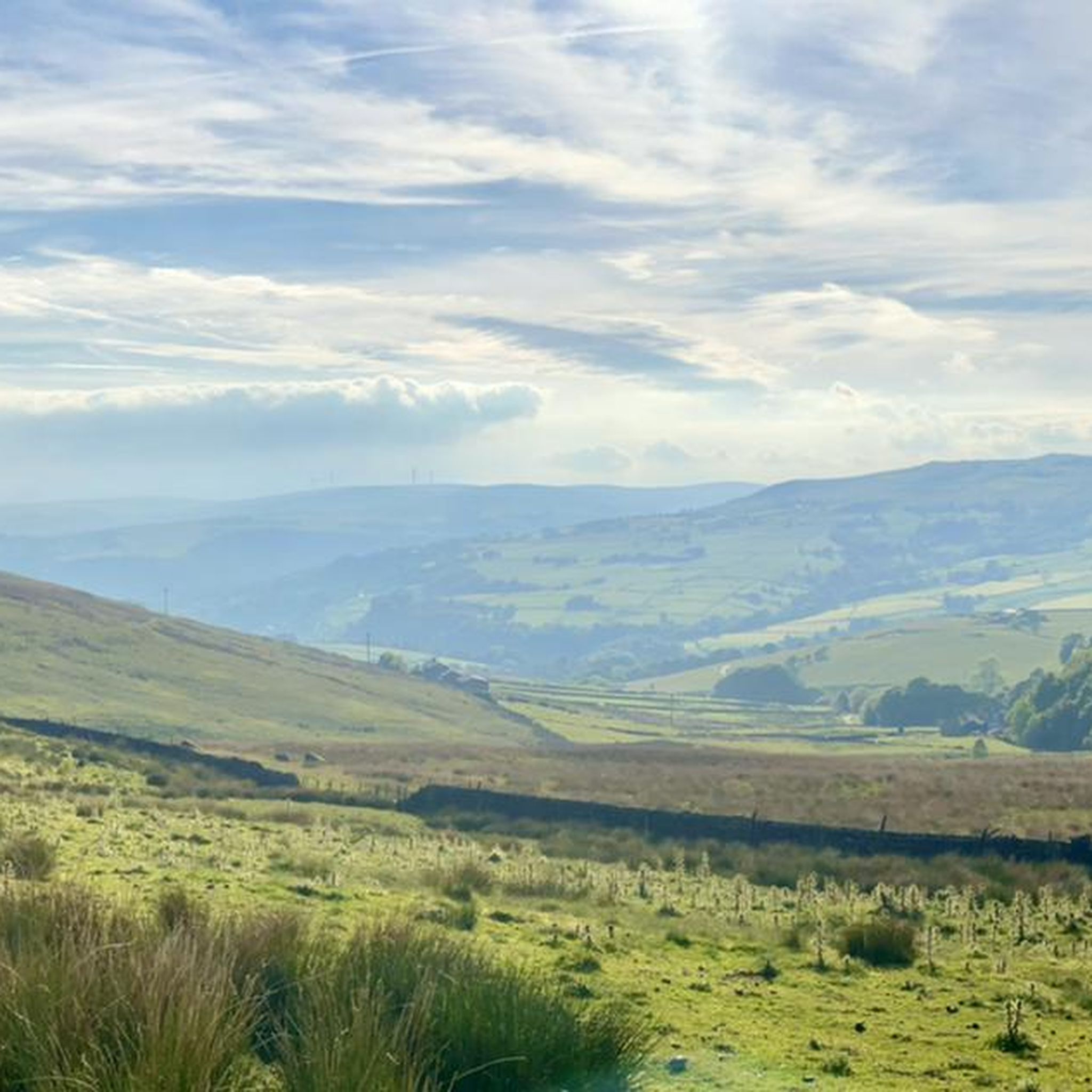
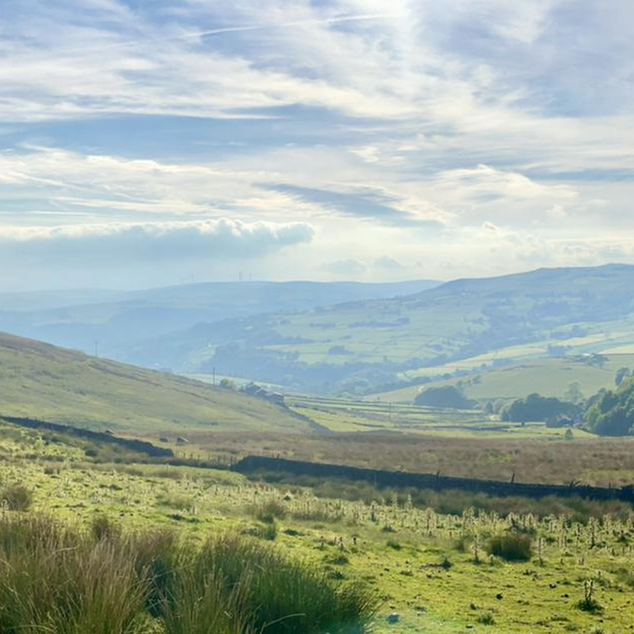
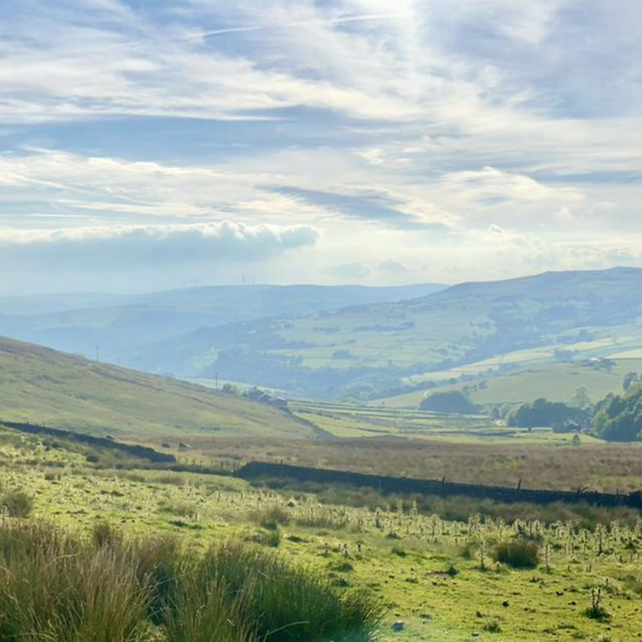
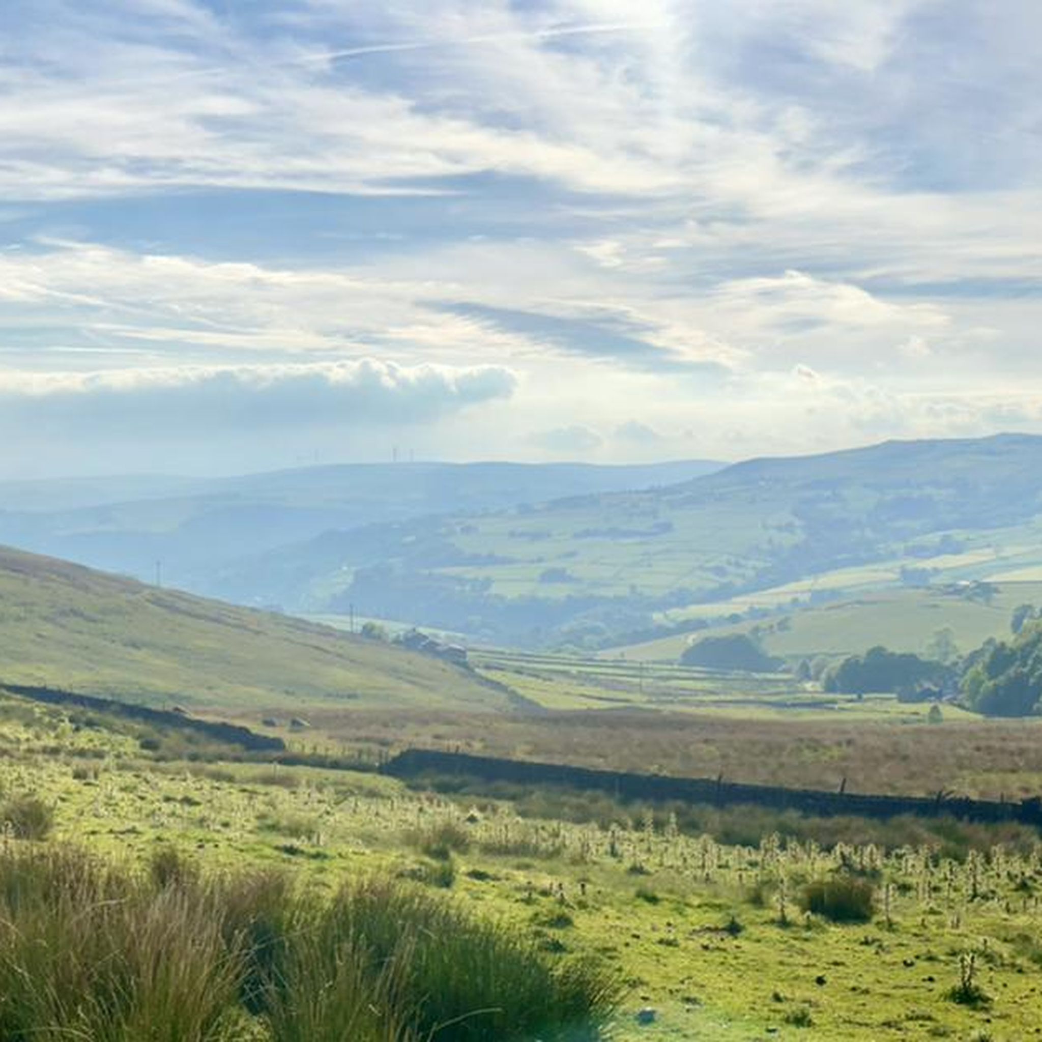
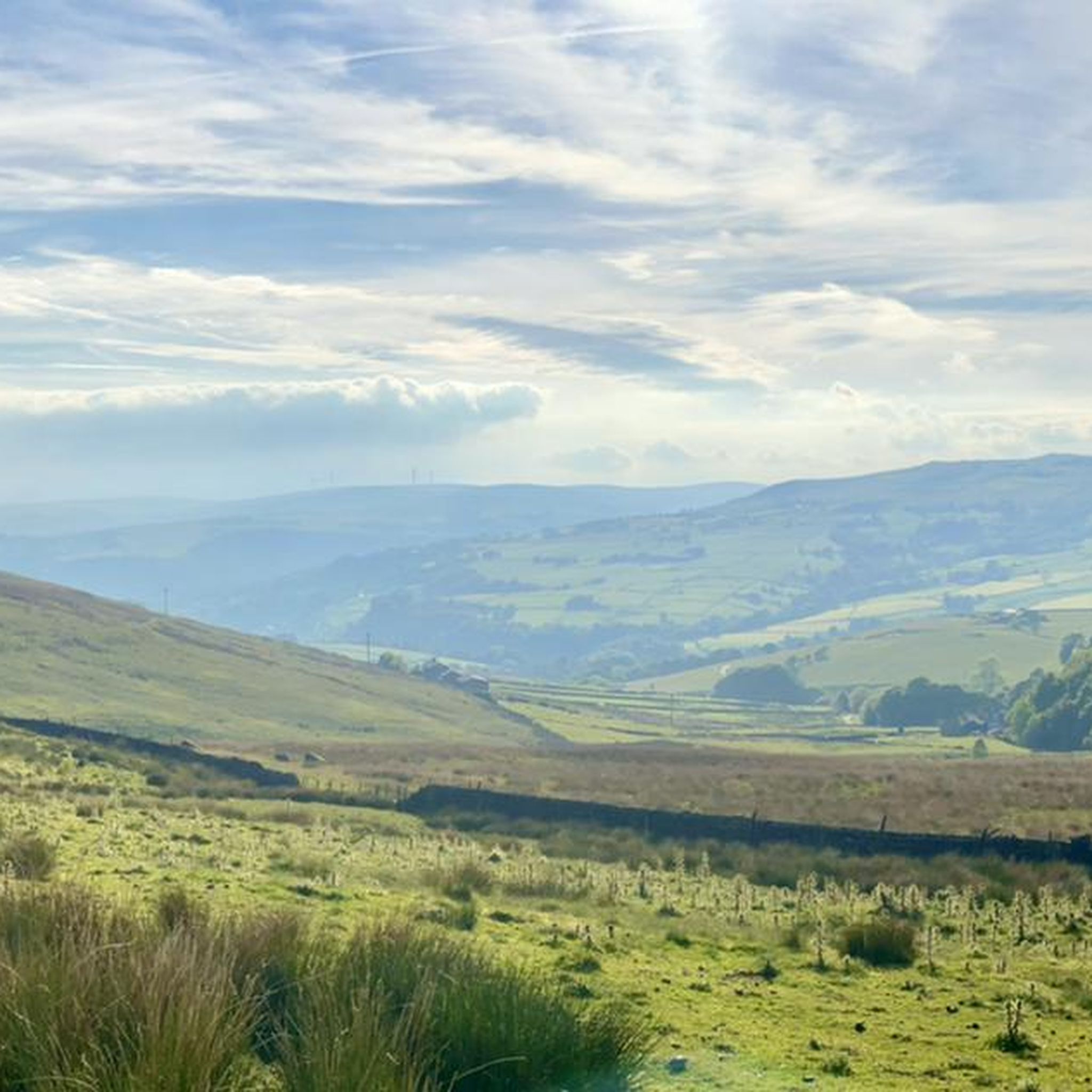
Gravel biking around Erringden offers varied terrain across moorland, cloughs, and woodlands. The landscape features expansive moorland, providing open routes with historical boundary markers and natural rock formations. Steep-sided valleys and shadowed woods offer different riding experiences, while ancient tracks and paths provide engaging surfaces for gravel cyclists. The area's microclimates contribute to diverse riding conditions throughout the year.
Best gravel bike trails around Erringden
- The most popular gravel bike trail is Muddy Bike Trail – Lower Gorple Reservoir Descent…
Last updated: July 3, 2026
4.8
(4)
17
riders
Moderate gravel ride. Good fitness required. Mostly paved surfaces. Suitable for all skill levels.
4.0
(1)
13
riders
34.8km
02:41
740m
740m
Hard gravel ride. Very good fitness required. Mostly paved surfaces. Suitable for all skill levels.

Sign up for free
9
riders
51.4km
03:57
1,110m
1,110m
Hard gravel ride. Very good fitness required. Mostly paved surfaces. Suitable for all skill levels.
28
riders
Hard gravel ride. Very good fitness required. Mostly paved surfaces. Suitable for all skill levels.
5.0
(1)
6
riders
Hard gravel ride. Very good fitness required. Mostly paved surfaces. Suitable for all skill levels.
Get access to more routes and recommendations from other explorers.
Sign up for free
Already have an account?
Our route recommendations are based on thousands of hikes, rides, and runs completed by other people on komoot.
Start today with a free account
Your next adventure awaits.
Login or Signup
Other adventures around Erringden

Tips from the Community

The Marina in the centre of Hebden Bridge , nice cobbled area to sit and watch the world go by
0
0
Fantastic little cafe on the canal bank , great coffee and food , just out of the way of the main tourist spots
0
0
A gorgeous area around black moor with amazing views and the rocks above upper Gorple and Widdop reservoirs are outstanding
0
0

The longest continuous incline in England , very popular challenge for cyclists
0
0

I'm sure I couldn't have done this on anything but an e-bike! Advice? DO NOT give up!
0
0

The best you can get round here for coffee, cakes, people and good vibes. They even plan social runs and put on events. It's a very special place really!
0
0

Feels less impressive somehow on an overcast day - and the fact you're routed by it on the way to Hebden Bridge with nary a mention means you could miss it - but definitely one tick off!
0
0
Frequently Asked Questions
How many gravel bike trails are available in Erringden?
Erringden offers a selection of 12 gravel bike routes, catering to various skill levels. You'll find 1 easy route, 4 moderate routes, and 7 challenging routes to explore the diverse terrain.
What kind of terrain can I expect on Erringden's gravel bike trails?
The gravel bike trails in Erringden traverse a varied landscape, including expansive moorland, steep-sided cloughs, and shadowed woodlands. You'll encounter historical pathways, ancient tracks, and natural rock formations like the Cuckoo Stone, offering a mix of surfaces from rugged moorland to sheltered forest paths.
Are there any family-friendly gravel bike routes in Erringden?
While many routes in Erringden are moderate to difficult, there is at least one easy gravel bike route available. For a less strenuous option, consider exploring sections of the ancient tracks and paths that form part of the historical boundaries, which can offer gentler riding experiences. Always check the route details for elevation and distance to ensure it suits your family's ability.
What are some notable landmarks or points of interest I can see along the gravel bike trails?
Many routes offer scenic views and pass by historical features. You might encounter the impressive Stoodley Pike Monument, the natural formations of Blackstone Edge trig point and Robin Hood's Bed, or the picturesque Brontë Bridge and Brontë Waterfall. The area also features historical boundary markers and ancient pathways that connect you to Erringden's past as a medieval deer park.
Are there any circular gravel bike routes in Erringden?
Yes, many of Erringden's gravel routes are designed as loops. For example, the Muddy Bike Trail – Lower Gorple Reservoir Descent loop from Hebden Bridge and the Blackstone Edge Reservoir – Blackstone Edge Road Climb loop from Hebden Bridge are popular circular options, allowing you to start and finish in the same location.
What is the best time of year to go gravel biking in Erringden?
Erringden's landscape experiences noticeable microclimates. While south-facing slopes may see daily thaws, north-facing hillsides and cloughs can remain frozen longer in winter. Spring and autumn generally offer pleasant conditions with vibrant scenery. Summer provides longer daylight hours, but be prepared for potential 'quagmires' on some lanes after rain, which can add to the challenge and adventure.
Are there any challenging gravel bike routes for experienced riders?
Absolutely. Erringden is home to 7 difficult gravel routes. The Blackstone Edge Reservoir – Blackstone Edge Road Climb loop from Hebden Bridge, for instance, includes a significant climb and offers expansive moorland views. Another challenging option is the Hurstwood Reservoir – Cant Clough Reservoir loop from Todmorden, which leads through varied and demanding terrain.
What do other gravel bikers enjoy most about Erringden?
The gravel biking experience in Erringden is highly rated by the komoot community, with an average score of 4.4 stars from over 5 reviews. Riders often praise the diverse terrain, from open moorland to sheltered woods, and the engaging historical pathways that make each ride unique. The challenging climbs and rewarding descents are also frequently highlighted.
Where can I find parking for gravel biking trails in Erringden?
Many routes start from nearby towns like Hebden Bridge, Todmorden, or Mytholmroyd, where public parking facilities are typically available. For specific trailheads, it's advisable to check the individual route details on komoot, as parking options can vary depending on the starting point of your chosen tour.
Can I combine my gravel bike ride with a visit to a reservoir?
Yes, several routes incorporate or pass by reservoirs, offering scenic views and tranquil spots. The Muddy Bike Trail – Lower Gorple Reservoir Descent loop from Hebden Bridge features a descent towards Lower Gorple Reservoir. Another option is the Hurstwood Reservoir – Cant Clough Reservoir loop from Todmorden, which takes you around multiple reservoirs.
Are there any routes that follow historical paths or ancient tracks?
Erringden was historically a medieval deer park, and its landscape retains elements of its original structure, including ancient tracks and boundary paths. Routes often utilize these historical pathways, such as those found along the former 'mandike' or 'Dick's Lane', providing not only interesting riding surfaces but also a connection to the area's rich past.
What is the longest gravel bike route available in Erringden?
For those seeking a longer adventure, the Bodkin Lane – Pennine Bridleway Rocky Trail loop from Mytholmroyd is a challenging 31.9-mile (51.4 km) route. This difficult trail offers an extensive exploration of the region's varied terrain.
Most popular routes around Erringden
Most popular attractions around Erringden

Get inspired with the komoot mobile app


Explore more
Browse the best Gravel rides in other regions.
