The best gravel rides around Dalmuir And Mountblow
4.3
(26)
432
riders
21
rides
Gravel biking around Dalmuir And Mountblow offers a diverse landscape for cyclists. The region features a mix of lochs, reservoirs, and country parks, providing varied terrain for gravel routes. Trails often incorporate sections of established paths like the John Muir Way, alongside more secluded tracks. The area's topography includes rolling hills and some more challenging ascents, catering to different levels of gravel biking experience.
Best gravel bike trails around Dalmuir And Mountblow
- The most popular gravel bike trail is Craigallian…
Last updated: July 3, 2026
4.5
(2)
46
riders
60.4km
03:56
710m
710m
Hard gravel ride. Very good fitness required. Mostly paved surfaces. Suitable for all skill levels.
3.8
(4)
53
riders
45.5km
02:51
480m
480m
Hard gravel ride. Very good fitness required. Mostly paved surfaces. Suitable for all skill levels.

Sign up for free
70
riders
49.5km
03:16
570m
570m
Hard gravel ride. Very good fitness required. You may need to push your bike for some segments of this route.
3.3
(3)
9
riders
34.0km
02:27
500m
500m
Hard gravel ride. Very good fitness required. Mostly paved surfaces. Suitable for all skill levels.
5.0
(1)
24
riders
31.1km
02:03
410m
410m
Moderate gravel ride. Good fitness required. Mostly paved surfaces. Suitable for all skill levels.
Get access to more routes and recommendations from other explorers.
Sign up for free
Already have an account?
Our route recommendations are based on thousands of hikes, rides, and runs completed by other people on komoot.
Start today with a free account
Your next adventure awaits.
Login or Signup
Tips from the Community

Above all, the path through Mugdock-Forest is worth it.
0
0


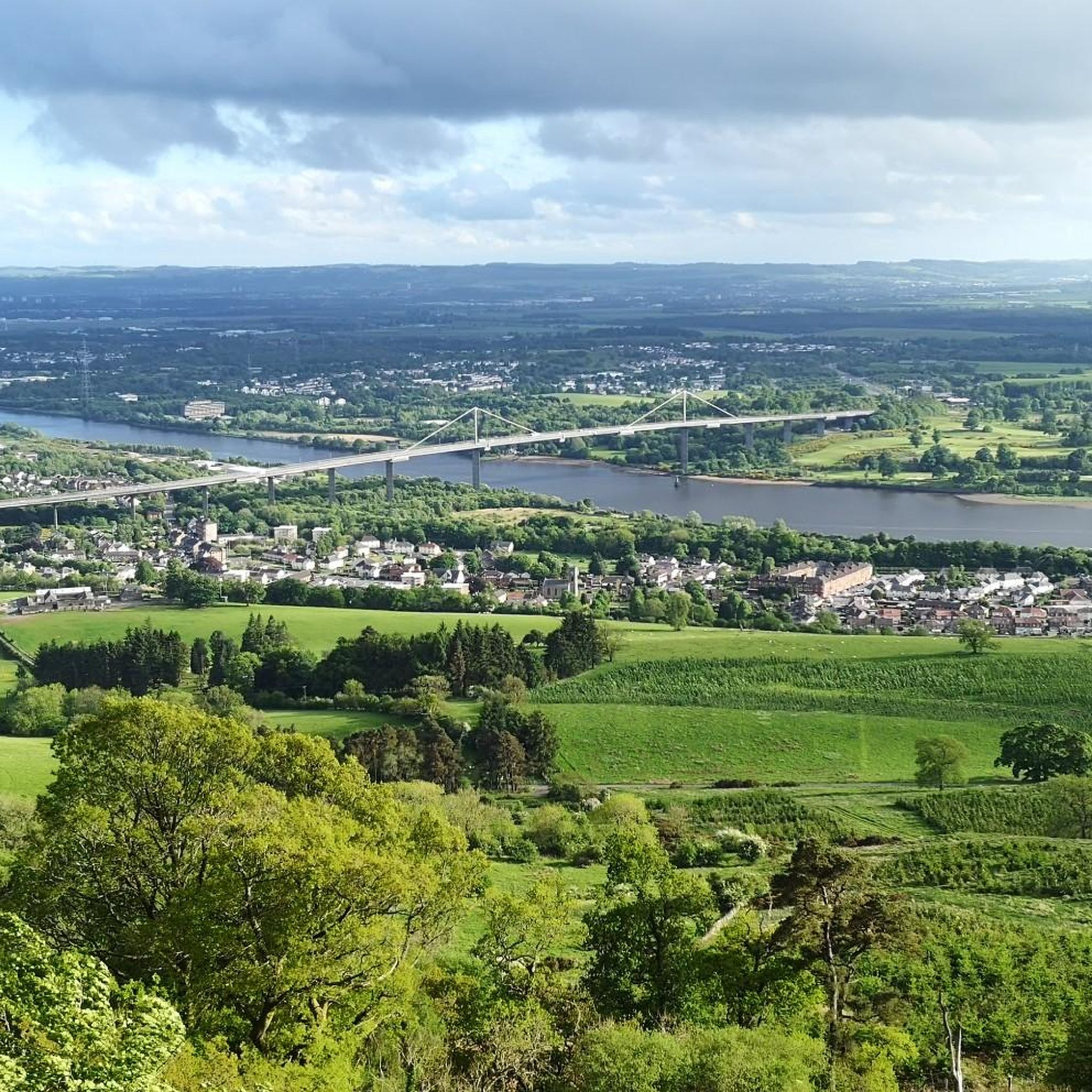
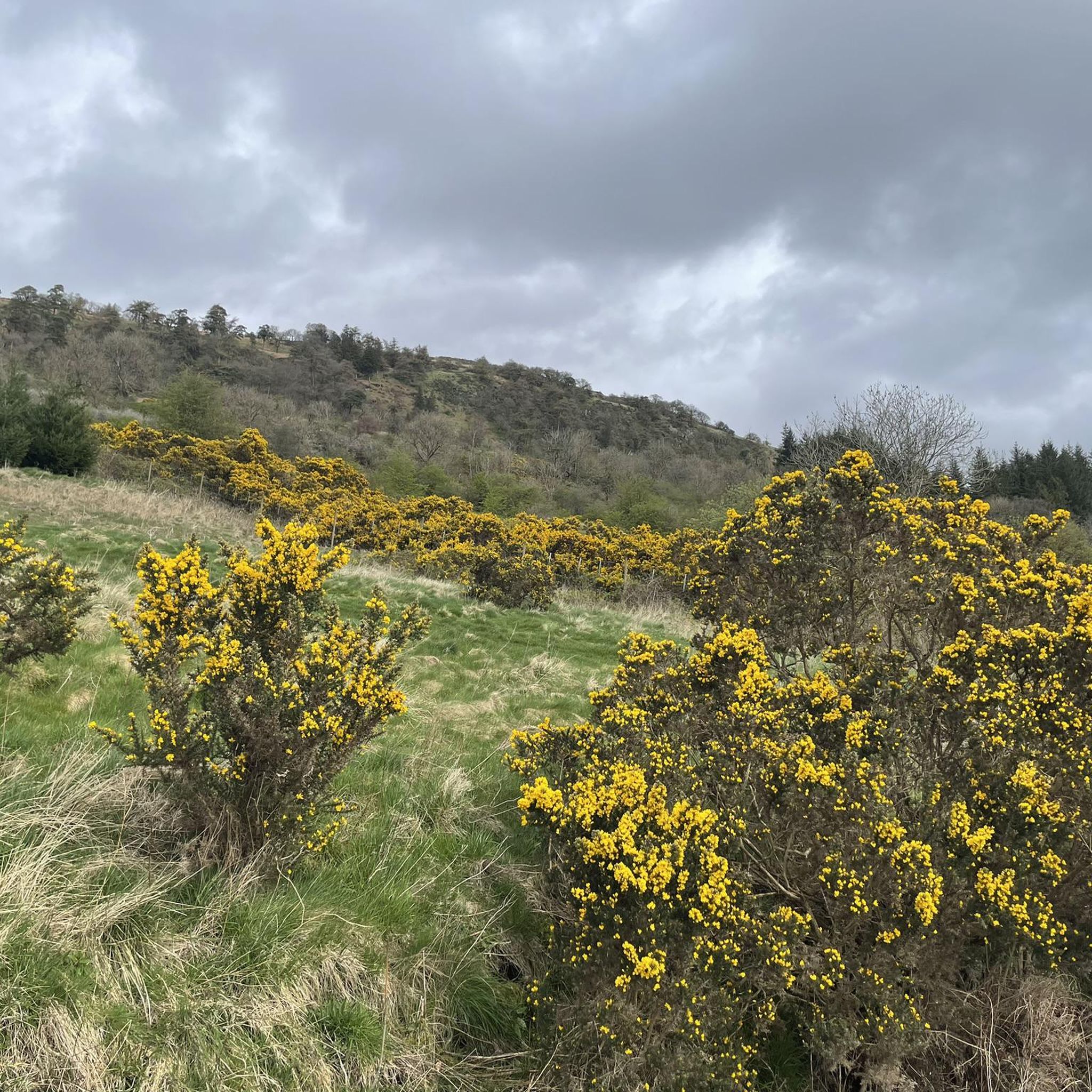
A gravel track that follows the trail of the Katrine Aqueducts that brings Glasgow's drinking water all the way from the Trossachs to Milngavie. Look out for exposed sections of the aqueducts as you travel along, one section in particular has a date marker of 1892 visible from the track. Stunning views over the Kilpatrick Hills and you can always drop down to Glengoyne distillery for a wee dram on the way past!
1
0
The original Castle on this site was built in the 13th century by the Graham family. The Grahams were a family on the rise and the family were made the Earls of Montrose in 1505. The most famous Graham resident of Mugdock Castle was James Graham (1612-1650) known as The Great Montrose. He was a poet and soldier who fought for the cause of King Charles I during the Wars of The Three Kingdoms (more commonly referred to as The English Civil Wars) and was marked as one of the greatest soldiers of the time. So great was his military fame that King Louis XIV offered him the role as Marshal of France. His success ultimately ran out in 1650 with the loss of The Battle of Carbisdale in Rosshire. Montrose was betrayed by a fellow Scotsman and was ultimately Hung, Drawn and Quartered for his part in the war. His campaigns were immortalised by Sir Walter Scott in his 1819 novel A Legend of Montrose.
0
0


The start of the West Highland Way is very urban, and the first section will feel more like a country park. Good paths and signs will lead you out of the town towards Loch Lomond.
2
1

Nice to see in the video: https://youtu.be/FTvrh28-ojY
1
0

Just off the road. Video by SeeScotland on YouTube. https://www.youtube.com/watch?v=huTD5TCQbiA
0
0
Frequently Asked Questions
How many gravel bike trails are available in Dalmuir And Mountblow?
There are over 25 gravel bike trails in the Dalmuir And Mountblow region, offering a diverse range of experiences for cyclists. These routes are highly rated by the komoot community, with an average score of 4.2 stars.
Are there any easy gravel bike routes for beginners in Dalmuir And Mountblow?
While many routes in the area are moderate to difficult, there is at least one easy gravel bike route available. The region's diverse landscape also includes sections with gentler terrain, particularly around country parks and lochs, which can be suitable for less experienced riders.
What kind of terrain can I expect on gravel bike trails around Dalmuir And Mountblow?
The gravel bike trails in Dalmuir And Mountblow feature a varied landscape, including sections along lochs, reservoirs, and through country parks. You'll encounter a mix of established paths, like parts of the John Muir Way, alongside more secluded tracks. The topography includes rolling hills and some more challenging ascents, catering to different skill levels.
Can I find loop gravel bike trails in the Dalmuir And Mountblow area?
Yes, many of the gravel bike routes in Dalmuir And Mountblow are designed as loops. For example, the Craigallian Loch – Burncrooks Reservoir loop from Bearsden is a popular option, navigating around significant water bodies. Another great loop is the Craigallian Loch – Trails at Mugdock Country Park loop from Garscadden, which combines lochside riding with sections through a country park.
What are some scenic viewpoints or attractions I can visit along the gravel bike trails?
The region offers several scenic spots and attractions. You can visit Craigallian Loch, which features in several routes, or enjoy views from Duncolm Summit. Many trails also pass through or near Mugdock Country Park, offering natural beauty and points of interest.
Are there any historical sites or castles accessible from the gravel bike routes?
Yes, you can incorporate historical sites into your gravel biking adventures. Mugdock Castle and Craigend Castle Ruins are notable historical landmarks in the area. Further afield, Dumbarton Castle is also a significant historical site worth exploring.
What do other gravel bikers say about the trails in Dalmuir And Mountblow?
The gravel biking routes in Dalmuir And Mountblow are highly regarded by the komoot community, with an average rating of 4.2 stars from over 27 reviews. Riders often praise the diverse landscapes, the mix of lochs and country parks, and the variety of terrain that caters to different skill levels.
Are there options for less crowded gravel bike routes in Dalmuir And Mountblow?
While popular routes like those incorporating the John Muir Way can see more traffic, the region also offers more secluded tracks, especially within the country park areas and around smaller lochs. Exploring routes like the John Muir Way Gravel Descent – Craigallian Loch loop from Westerton can provide a good balance of popular sections and quieter paths.
What is the best season for gravel biking in Dalmuir And Mountblow?
Gravel biking in Dalmuir And Mountblow is enjoyable throughout much of the year. Spring and autumn offer pleasant temperatures and beautiful scenery, with vibrant foliage or blooming wildflowers. Summer provides longer daylight hours, while winter rides can be invigorating, though some trails might be muddier or require more robust gear due to weather conditions.
Are there gravel bike trails accessible by public transport in Dalmuir And Mountblow?
Many routes in the Dalmuir And Mountblow area are accessible from towns with public transport links, such as Bearsden or Garscadden. These starting points often provide convenient access to trails leading to Craigallian Loch or Mugdock Country Park, making it easier to reach the routes without a car.
Where can I find parking for gravel biking near Dalmuir And Mountblow?
Parking is generally available at common starting points for many routes, particularly near country parks like Mugdock Country Park, or in the surrounding towns such as Bearsden or Garscadden. It's advisable to check specific route details on komoot for recommended parking locations.
Are there any cafes or places to stop for refreshments along the gravel bike trails?
Yes, you can find opportunities for refreshments. Routes that pass through or near Mugdock Country Park often have access to cafes or visitor centers. Additionally, towns like Bearsden and Garscadden, which serve as starting points for many trails, offer various cafes and shops for pre- or post-ride sustenance.
Are the gravel bike trails in Dalmuir And Mountblow suitable for dogs?
Many trails in the Dalmuir And Mountblow region, particularly those through country parks and along lochs, are generally dog-friendly. However, it's always recommended to keep dogs on a lead, especially in areas with livestock or wildlife, and to check specific park regulations. Ensure your dog is fit enough for the distance and terrain.
Most popular routes around Dalmuir And Mountblow
Most popular attractions around Dalmuir And Mountblow

Get inspired with the komoot mobile app


Explore more
Browse the best Gravel rides in other regions.
