The best gravel rides around Greenhills And Lindsayfield
4.6
(57)
429
riders
12
rides
Gravel biking around Greenhills And Lindsayfield offers a network of routes traversing varied terrain. The region features a mix of rural roads, open countryside, and areas around wind farms. Riders can expect some elevation changes and occasional river crossings, providing diverse conditions for gravel cycling.
Best gravel bike trails around Greenhills And Lindsayfield
- The most popular gravel bike trail is Eaglesham Ford – The Heron Farm Shop & Café loop from Busby, a difficult 36.3 miles (58.4 km) trail…
Last updated: July 17, 2026
17
riders
58.4km
03:31
660m
660m
Hard gravel ride. Very good fitness required. Mostly paved surfaces. Suitable for all skill levels.
4
riders
14.2km
00:54
160m
160m
Moderate gravel ride. Good fitness required. Mostly paved surfaces. Suitable for all skill levels.

Sign up for free
7
riders
27.0km
01:38
320m
320m
Moderate gravel ride. Good fitness required. Mostly paved surfaces. Suitable for all skill levels.
10
riders
50.7km
03:02
570m
570m
Hard gravel ride. Very good fitness required. Mostly paved surfaces. Suitable for all skill levels.
10
riders
43.7km
02:30
430m
430m
Moderate gravel ride. Good fitness required. Mostly paved surfaces. Suitable for all skill levels.
Get access to more routes and recommendations from other explorers.
Sign up for free
Already have an account?
Our route recommendations are based on thousands of hikes, rides, and runs completed by other people on komoot.
Start today with a free account
Your next adventure awaits.
Login or Signup
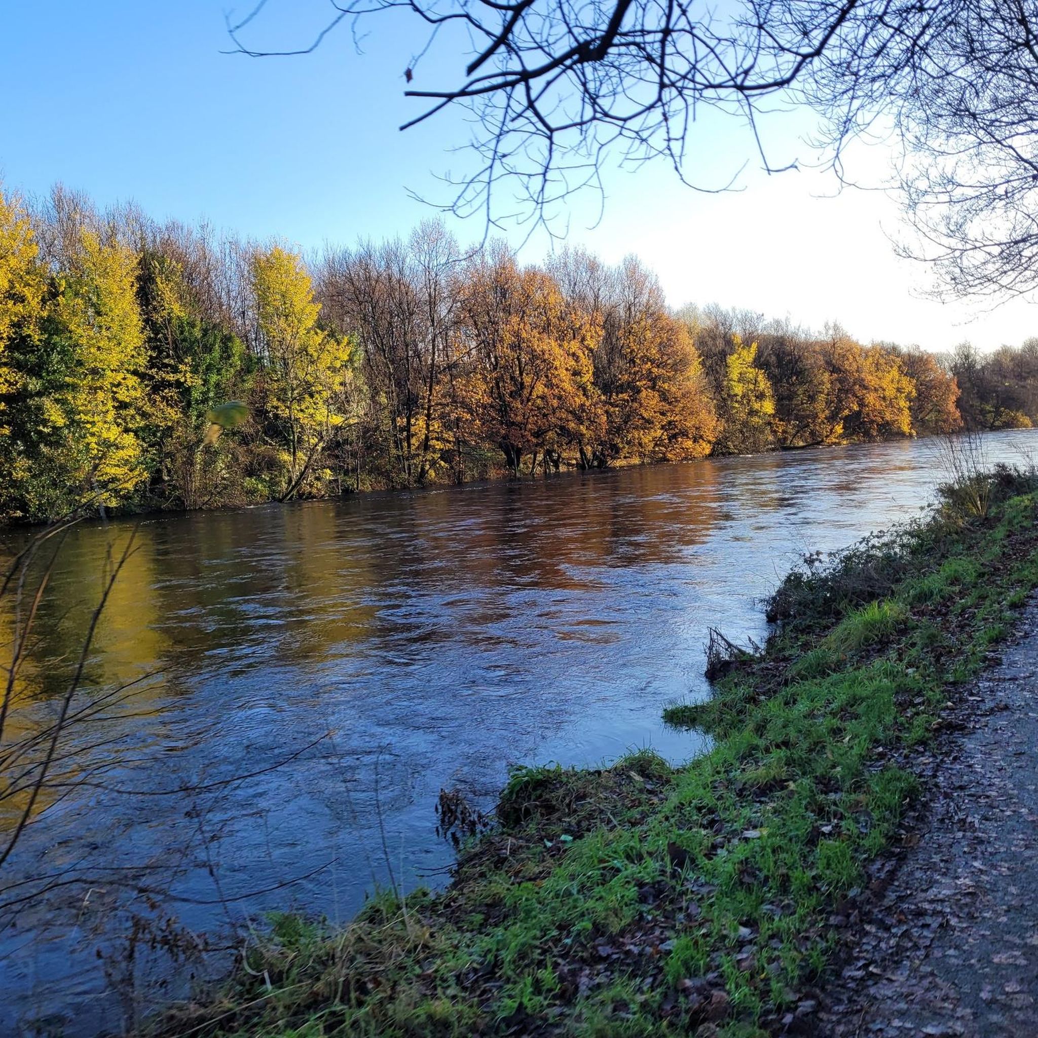

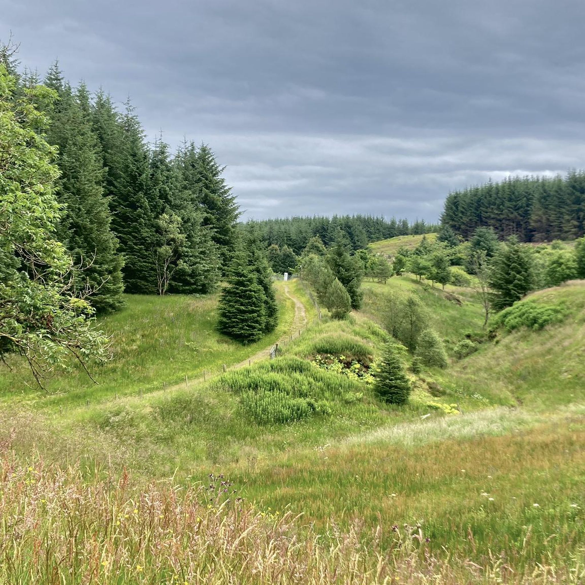
Tips from the Community

I Live in nearby Eaglesham - On the Whitlees Gravel most weeks 👌. Still making new routes - So many options. Various Entry / Departure points. Get hold of their Map - Because 1 Turbine looks just the other Hundred and how many 😉🚴🏽♂️Frenchie
0
0

It's good to escape here from a too busy world.
1
0


The visitor centre and cafe at Whitelee are a super good visit location for you and the family. It is educational, interesting, and it has a great cafe. In fact, it is fascinating to hear about the UK’s largest onshore wind farm. You can also hire bicycles here if you want to ride around the rather large wind farm complex.
2
0

Barriers were down today (Aug 2024), but the ford was still passable. That is, as long as you can get your bike past the barrier.
0
0


Frequently Asked Questions
How many gravel bike trails are available in Greenhills And Lindsayfield?
There are over 15 gravel bike trails in Greenhills And Lindsayfield, offering a variety of options for different skill levels. The komoot community has explored these routes extensively, providing valuable insights.
Are there easy gravel bike trails suitable for beginners or families?
Yes, Greenhills And Lindsayfield offers several moderate routes that are suitable for beginners or families looking for a less strenuous ride. While there is only one route explicitly categorized as 'easy', many of the 'moderate' trails provide a good entry point to gravel biking in the region. For example, the View of Wind Turbines loop from Calder Water is a moderate 8.8-mile (14.2 km) trail that can be completed in under an hour.
What options are there for experienced gravel bikers seeking a challenge?
Experienced gravel bikers will find plenty of challenging routes in Greenhills And Lindsayfield, with 8 out of 15 trails rated as 'difficult'. These routes often feature significant elevation changes and varied terrain. A notable difficult option is the Eaglesham Ford – The Heron Farm Shop & Café loop from Busby, which spans 36.3 miles (58.4 km) with over 660 meters of elevation gain.
What is the typical length of gravel bike trails in the area?
The gravel bike trails in Greenhills And Lindsayfield vary significantly in length. You can find shorter routes like the View of Wind Turbines loop from Calder Water at 8.8 miles (14.2 km), up to longer, more demanding rides such as the Flooded Ford Crossing – Eaglesham Ford loop from Clarkston, which covers over 31 miles (50.7 km).
When is the best time of year to go gravel biking in Greenhills And Lindsayfield?
The varied terrain, including rural roads and open countryside, makes Greenhills And Lindsayfield enjoyable for gravel biking throughout much of the year. Spring and autumn generally offer pleasant temperatures and vibrant scenery. However, be prepared for potential river crossings and varying conditions, especially during wetter seasons.
Are most gravel bike trails in the area loop routes?
Yes, many of the gravel bike trails in Greenhills And Lindsayfield are designed as loop routes, allowing you to start and finish at the same point. Examples include the popular Millhall Bridge – Shields Road loop from Lindsayfield and the Myres Hill Wind Farm – Whitelee Wind Farm loop from Chapelton.
Which gravel bike trails offer the best scenic views or viewpoints?
The region is known for its open countryside and wind farm landscapes. The View of Wind Turbines loop from Calder Water offers direct views of the wind farm. Many routes also provide expansive vistas across rural areas. For a specific highlight, consider visiting the Whitelee Wind Turbines or the Spine Road of Whitelee Wind Farm.
What can I see along the gravel bike trails in Greenhills And Lindsayfield?
Beyond the natural landscapes, you can encounter various points of interest. The area features prominent wind farms, such as the Whitelee Wind Turbines. You might also pass by historical sites like Bothwell Castle or the Blantyreferme World War II Anti-Aircraft Battery, and natural features like the Darnley Reservoir Pavilion.
Are there cafes or places to refuel along the routes?
Some routes, like the Eaglesham Ford – The Heron Farm Shop & Café loop from Busby, specifically mention a farm shop and café, indicating opportunities for refreshments. It's always a good idea to check route descriptions for specific amenities or plan to carry your own provisions, especially on longer or more remote trails.
What do other gravel bikers enjoy most about gravel biking in Greenhills And Lindsayfield?
The area is highly rated by the komoot community, with an average score of 4.6 stars from over 40 reviews. Riders often praise the varied terrain, the mix of rural roads and open countryside, and the unique experience of cycling through wind farm landscapes. The network offers diverse conditions, from moderate to difficult routes, catering to different ability levels.
Is parking generally available near the gravel bike trails?
While specific parking information isn't detailed for every starting point, many routes begin from towns or villages like Busby, Lindsayfield, or Chapelton, where public parking options are typically available. It's advisable to check the starting point of your chosen route on komoot for more precise parking suggestions.
Can I go gravel biking in Greenhills And Lindsayfield during winter?
Gravel biking is possible in winter, but conditions can be challenging due to colder temperatures, potential ice, and increased mud, especially around river crossings. Always check local weather forecasts and trail conditions before heading out, and ensure your bike and gear are suitable for winter riding.
Most popular routes around Greenhills And Lindsayfield
Most popular attractions around Greenhills And Lindsayfield

Get inspired with the komoot mobile app


Explore more
Browse the best Gravel rides in other regions.
