The best gravel rides around Mount Blair
4.8
(25)
147
riders
8
rides
Gravel biking around Mount Blair offers diverse landscapes and a network of trails. The region features a mix of paved and unpaved surfaces, including dirt and gravel roads, providing varied terrain for exploration. Riders can expect significant elevation gains, with some routes featuring substantial vertical ascent. Natural monuments, mountain peaks, and scenic backdrops characterize the area.
Best gravel bike trails around Mount Blair
- The most popular gravel bike trail is Loch Ordie – Mill Dam Lochan loop from Dowally,…
Last updated: October 20, 2026
4.8
(16)
83
riders
26.6km
01:46
440m
440m
Moderate gravel ride. Good fitness required. Mostly paved surfaces. Suitable for all skill levels.
4.8
(4)
24
riders
54.9km
03:28
700m
700m
Hard gravel ride. Very good fitness required. Mostly paved surfaces. Suitable for all skill levels.

8
riders
11.1km
00:51
90m
90m
Easy gravel ride. Great for any fitness level. Mostly paved surfaces. Suitable for all skill levels.
4.3
(3)
4
riders
Hard gravel ride. Very good fitness required. Mostly paved surfaces. Suitable for all skill levels.
4
riders
13.8km
00:52
210m
210m
Moderate gravel ride. Good fitness required. Mostly paved surfaces. Suitable for all skill levels.
Get access to more routes and recommendations from other explorers.
Already have an account?
Our route recommendations are based on thousands of hikes, rides, and runs completed by other people on komoot.
Start today with a free account
Your next adventure awaits.
Popular around Mount Blair
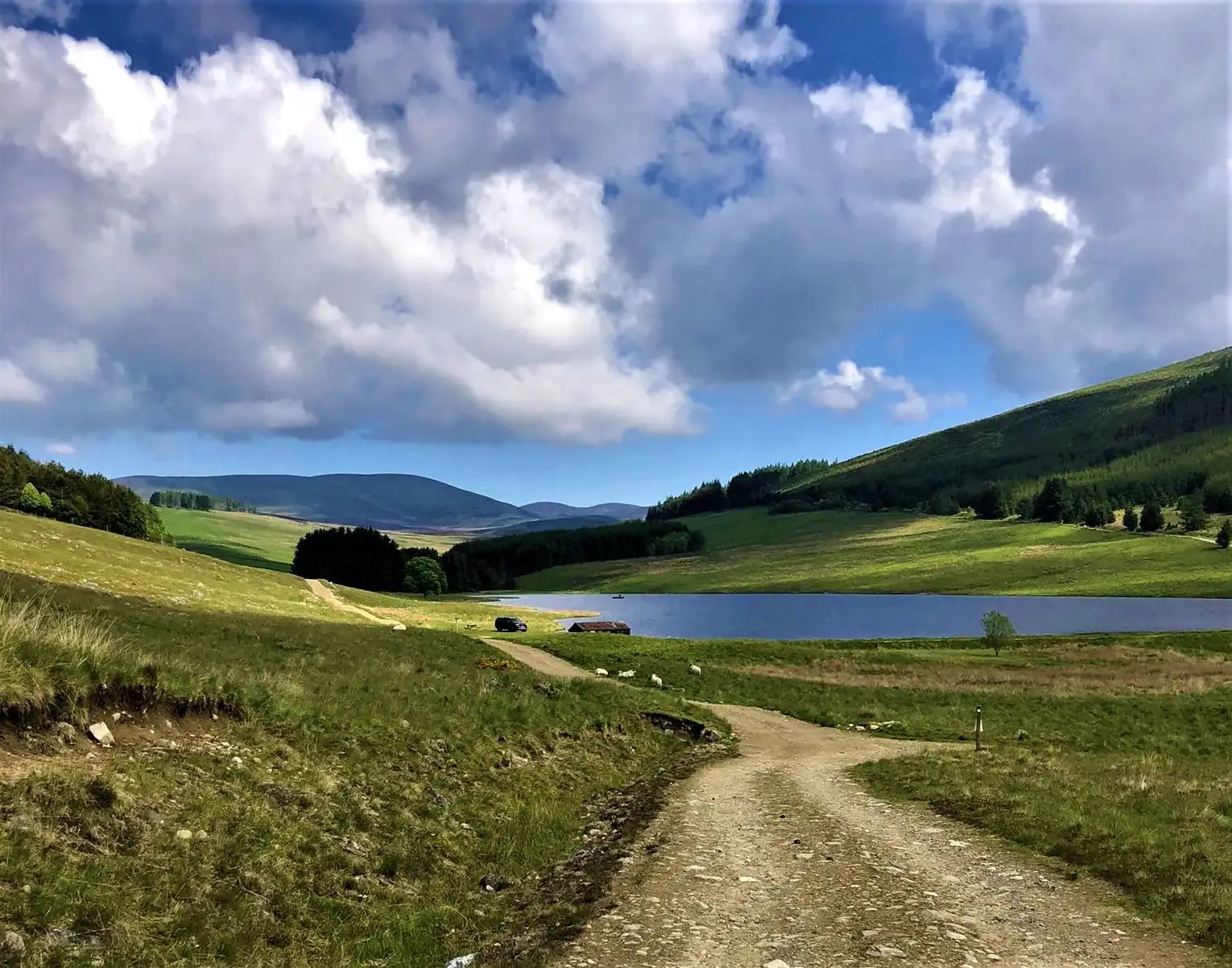
Cateran Trail — Hike old thieves' roads in a forgotten part of Scotland
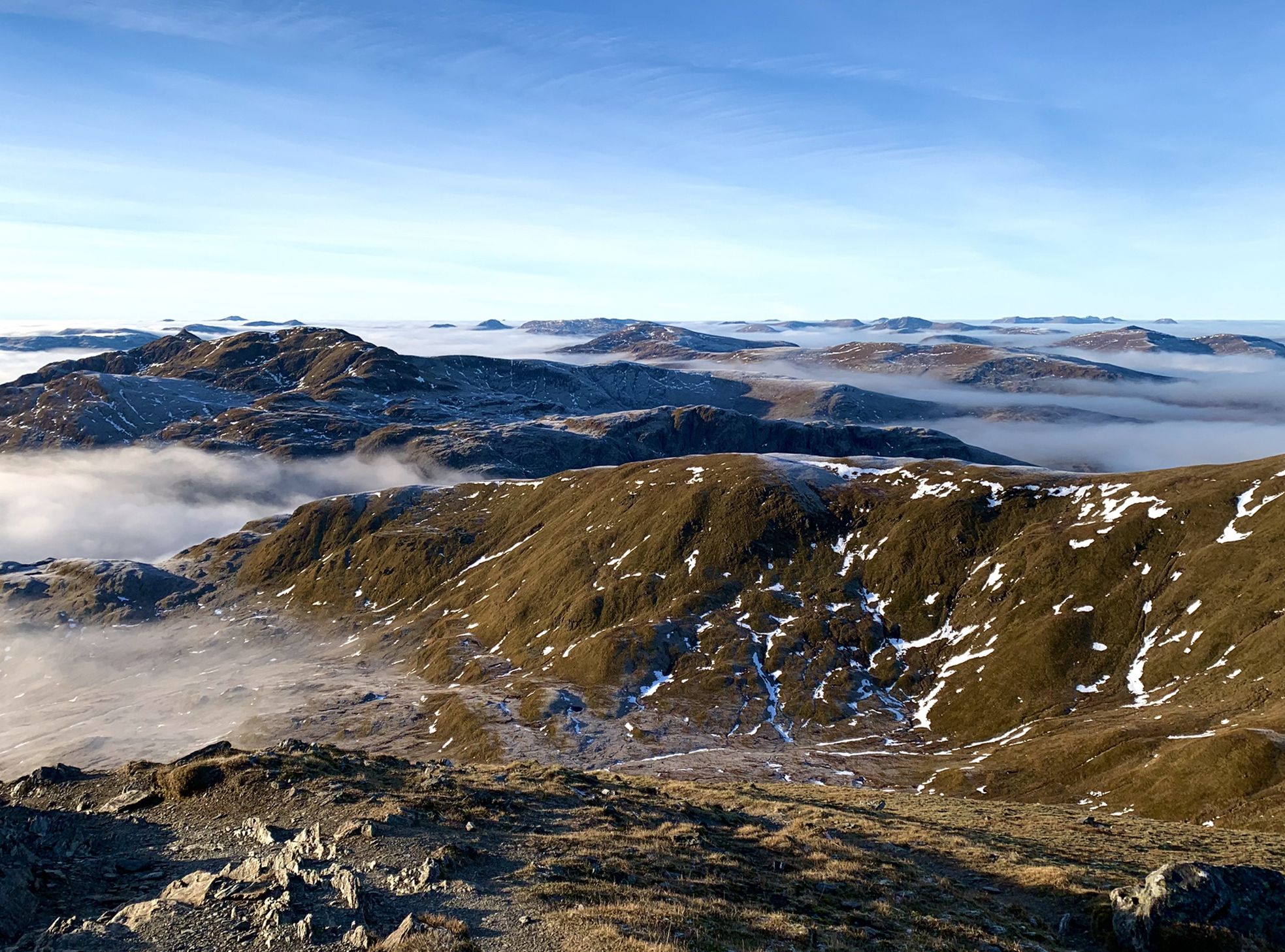
Hiking in Highland Perthshire – accessible giants and lovely glens
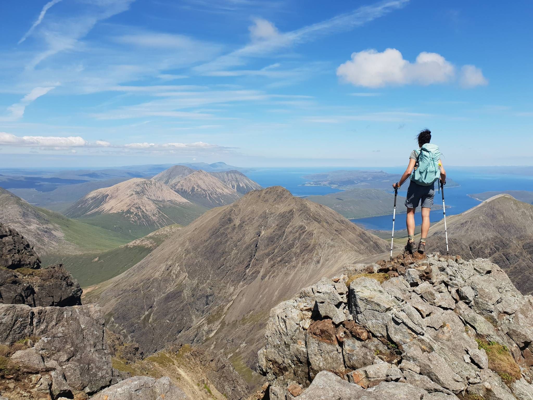
Hiking the 282 munro mountains of Scotland in 95 routes
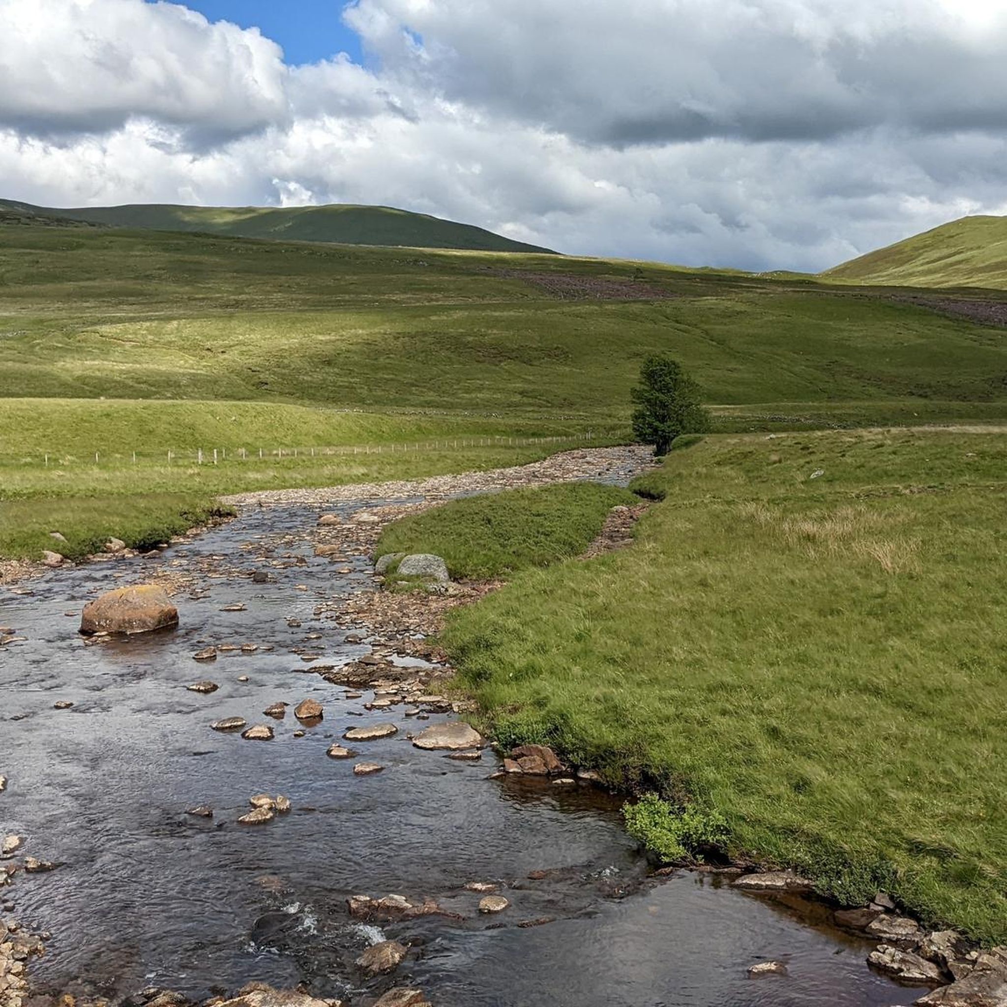
Hiking around Mount Blair
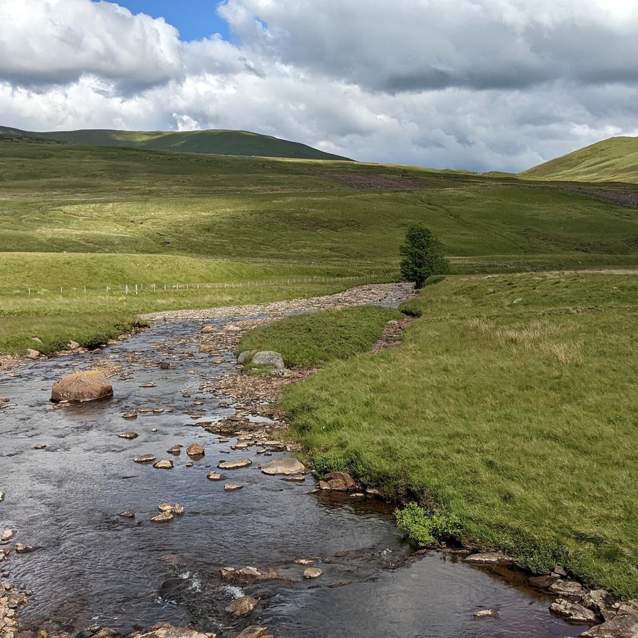
Running Trails around Mount Blair
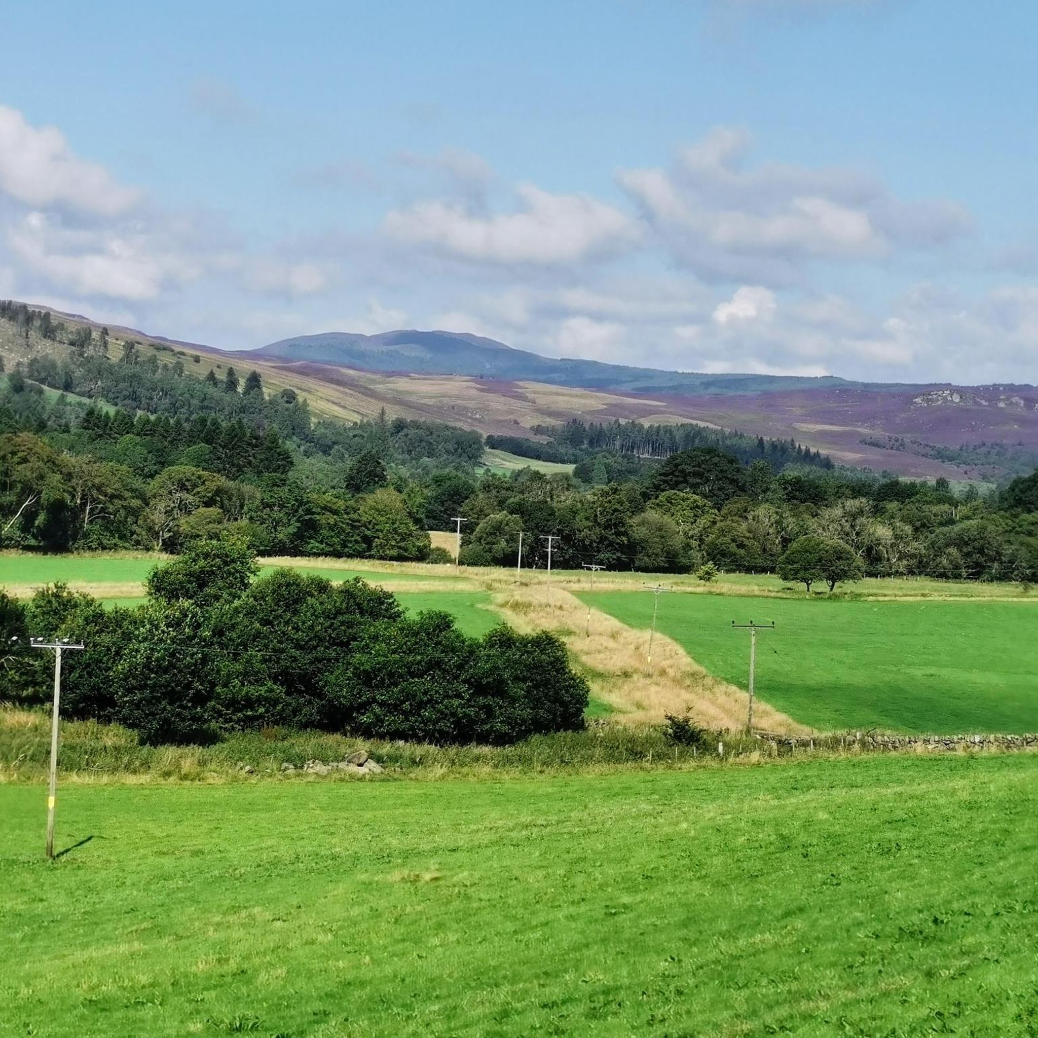
MTB Trails around Mount Blair
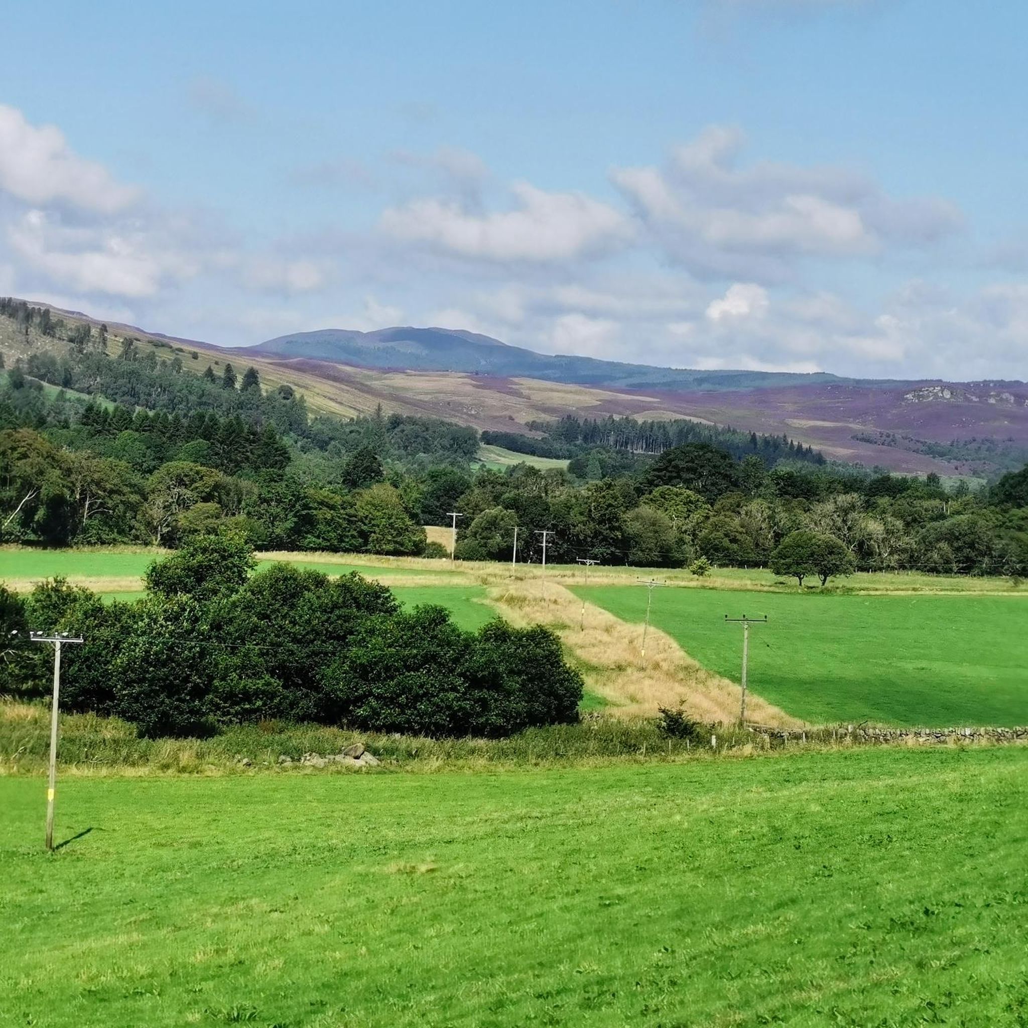
Road Cycling Routes around Mount Blair
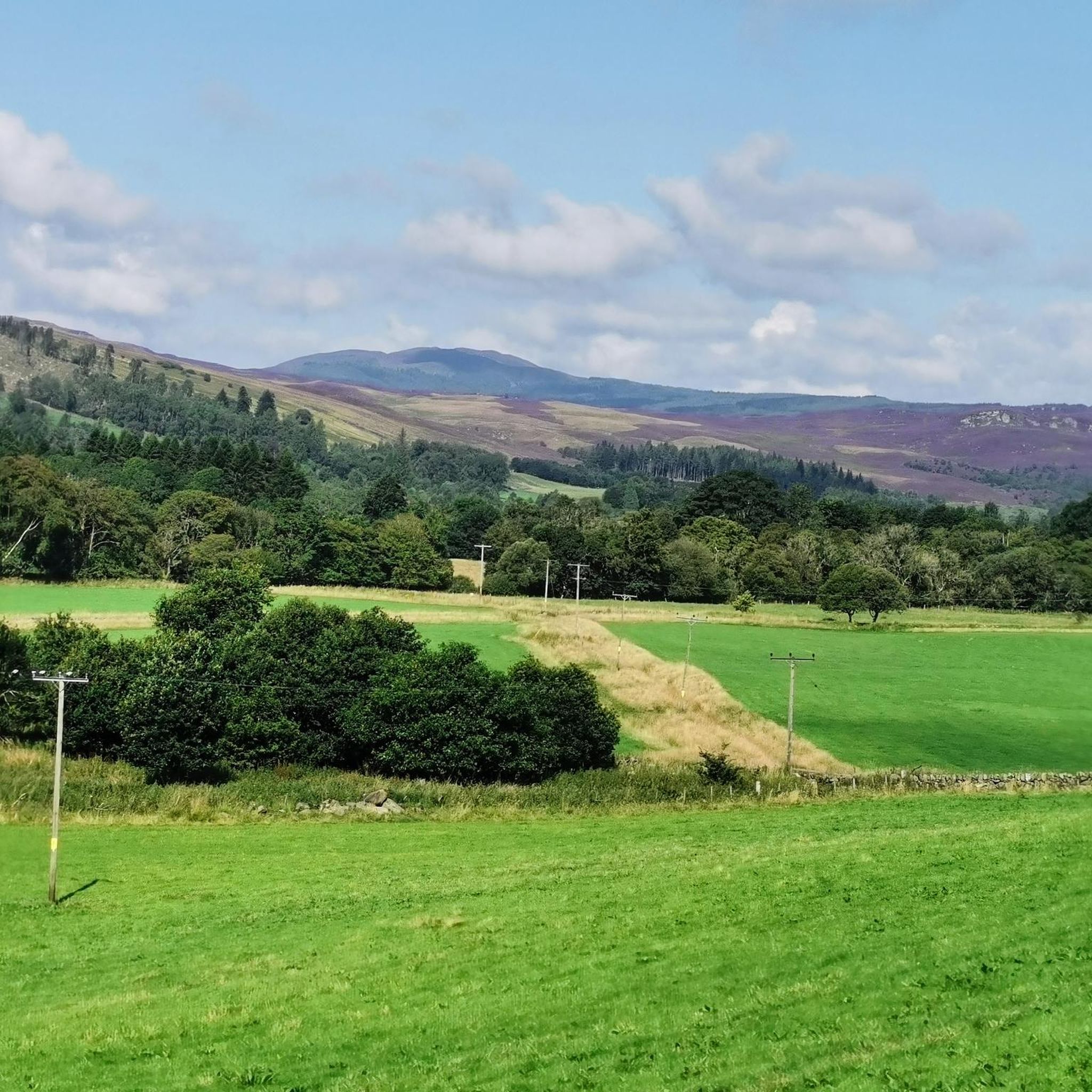
Cycling around Mount Blair
Mountain Hikes around Mount Blair
Other adventures around Mount Blair


Tips from the Community

Great multi-use gravel track.
0
0

Route B8019 goes into the forest. After approx. 500 meters, the path is no longer cyclable.
0
0

Lively town with fine river walks and great coffee and food available Always something going on
0
0

From the main road, you can't see much of the castle, although the white building is immediately noticeable as soon as you pass through the greenery. To truly see the castle, you really have to visit it.
3
0
Impressive gorge and view from the stone bridge. Nature's forces at their finest!
3
0

Glenisla Kirk, a small Gothic church built in 1821, is located at the west end of Kirkton of Glenisla on the B951. Originally part of a religious site dating back to the 13th century, it was first gifted to the Abbey of Cambuskenneth by King William the Lion and later transferred to the Abbey of Coupar Angus in 1311. After numerous repairs, the original church was replaced with the current structure. Now owned by the Glenisla Church Trust, it continues to serve the community with monthly informal evening services (April to December) and a Christmas Eve Watch Night Service. It also offers a venue for weddings and funerals, with local venues providing additional support.
0
0
Kirkton of Glenisla, an ancient farming community with Bronze Age and Pictish remains, has a deep ecclesiastical heritage reflected in its name, meaning "church town." From the 14th to 16th centuries, it was part of the lands of Coupar Angus Abbey, which influenced the area's farming development. After the Reformation, the lands were feued to the Ogilvy family, later Earls of Airlie, with Forter Castle remaining as a historical landmark. In the 19th century, the area became a romantic destination, attracting Queen Victoria and Prince Albert. Glenisla also saw the construction of Brackny Bridge in 1824, designed by John Justice, marking a significant moment in the area's architectural history.
0
0
Glenisla, planted in 1949, is a productive forest mainly consisting of Sitka Spruce, a species known for its rapid growth and high-quality timber. Introduced to Scotland in 1831 by David Douglas, Sitka Spruce originates from the fog-belt of western North America, where it had various uses such as in basketry and boat caulking. Plans to establish native riparian woodlands are underway, though deer management is crucial to protect young trees. The forest is served by three main burns—Glen Taitney, Finlet, and Muckle—which supply water to the Backwater Reservoir and local rivers, benefiting nearby towns in Angus and Dundee.
0
0
Frequently Asked Questions
How many gravel bike trails are available around Mount Blair?
There are 9 gravel bike trails around Mount Blair listed on komoot, offering a range of experiences from easy to difficult. You'll find a mix of terrains and elevation profiles to suit various preferences.
What kind of terrain can I expect on gravel bike trails near Mount Blair?
The gravel routes around Mount Blair feature diverse terrain, including a mix of paved and unpaved surfaces. You'll encounter dirt and gravel roads, and sometimes crushed cinder rail trails or primitive roads, ensuring an engaging ride through varied natural environments.
Are there any easy gravel bike trails suitable for beginners or families around Mount Blair?
Yes, there are easy options available. For instance, the Lui Water Swim Spots – Bob Scott's Bothy loop from Linn of Dee is an easy 10.7 km route that takes less than an hour, perfect for a more relaxed ride. Overall, there are 2 easy and 2 moderate routes listed.
What are some challenging gravel routes for experienced riders in the Mount Blair area?
For experienced riders seeking a challenge, Mount Blair offers 5 difficult routes with significant elevation gains. The Pass of Killiecrankie – Garry Bridge loop from Pitlochry is a difficult 55.2 km path with substantial climbing, and the Wee Bear Cafe – Peel Farm Café and Farm Shop loop from Kirkton of Glenisla is another demanding 57.3 km route through rolling hills.
What do other gravel bikers say about the trails around Mount Blair?
The gravel biking routes around Mount Blair are highly rated by the komoot community, with an average score of 4.9 stars from over 20 reviews. Riders often praise the varied terrain, scenic beauty, and the rewarding views after significant climbs.
Are there any notable natural attractions or landmarks along the gravel routes?
Absolutely. The region is rich in natural beauty. You can find stunning gorges like Soldier's Leap and Cargill's Leap, as well as picturesque waterfalls such as Black Spout Waterfall and the Linn of Dee Waterfall and Bridge. Many routes offer scenic backdrops of mountain peaks and lakes.
What is the best time of year to go gravel biking around Mount Blair?
While specific seasonal conditions can vary, the diverse landscapes and trails are generally enjoyable throughout the warmer months. Spring and autumn often provide pleasant temperatures and vibrant scenery. Always check local weather forecasts before heading out, especially given the potential for significant elevation changes.
Are there any circular gravel routes available?
Yes, many of the gravel routes around Mount Blair are designed as loops, allowing you to start and finish at the same point. Examples include the popular Loch Ordie – Mill Dam Lochan loop from Dowally and the challenging Pass of Killiecrankie – Garry Bridge loop from Pitlochry.
Where can I find parking for gravel biking trails near Mount Blair?
Parking availability often depends on the specific trailhead. For routes starting from towns like Dowally, Pitlochry, or Kirkton of Glenisla, you can typically find public parking facilities. It's advisable to check the specific tour details on komoot for parking recommendations near your chosen starting point.
Are there cafes or places to stop for refreshments along the gravel routes?
Yes, some routes are designed to pass by or near establishments where you can refuel. For example, the Wee Bear Cafe – Peel Farm Café and Farm Shop loop from Kirkton of Glenisla explicitly highlights cafes along its path. Pitlochry, Dunkeld, and Blair Atholl are also towns in the wider region with various cafes and pubs.
What kind of elevation changes should I expect on Mount Blair gravel routes?
Riders should be prepared for significant elevation changes. Some routes feature short, steep climbs, while others extend for hours with substantial vertical ascent, often exceeding 3,000 feet (over 900 meters). This makes the area appealing for those seeking a physical challenge.
Can I access these gravel trails using public transport?
Access to trailheads via public transport varies. Towns like Pitlochry, Dunkeld, and Blair Atholl, which serve as starting points for some routes, often have better public transport links. For more remote starting points, personal transport might be necessary. It's recommended to check local bus or train schedules for specific locations.
Most popular attractions around Mount Blair

Get inspired with the komoot mobile app


Explore more
Browse the best Gravel rides in other regions.
