The best gravel rides around Seafar And Ravenswood
4.1
(7)
85
riders
4
rides
Gravel biking around Seafar And Ravenswood offers a diverse landscape for riders. The region features varied terrain, including routes through valleys, along reservoirs, and over fells, indicating a mix of gradients and surfaces. Converted railway paths provide smoother sections, while other trails traverse more rugged, elevated areas. This combination creates a dynamic environment suitable for gravel biking.
Best gravel bike trails around Seafar And Ravenswood
- The most popular gravel bike trail is Carron Valley Red Trail – Carron Valley Reservoir…
Last updated: July 17, 2026
3.7
(3)
24
riders
30.9km
02:20
520m
520m
Hard gravel ride. Very good fitness required. Mostly paved surfaces. Suitable for all skill levels.
16
riders
53.9km
03:41
930m
930m
Hard gravel ride. Very good fitness required. Mostly paved surfaces. Suitable for all skill levels.

Sign up for free
3.0
(1)
14
riders
Hard gravel ride. Very good fitness required. Mostly paved surfaces. Suitable for all skill levels.
3
riders
75.2km
05:33
1,490m
1,490m
Hard gravel ride. Very good fitness required. Mostly paved surfaces. Suitable for all skill levels.
5.0
(1)
6
riders
Hard gravel ride. Very good fitness required. Mostly paved surfaces. Suitable for all skill levels.
Our route recommendations are based on thousands of hikes, rides, and runs completed by other people on komoot.
Start today with a free account
Your next adventure awaits.
Login or Signup
Tips from the Community

Watch the anglers catching trout from bank and boat.
0
0

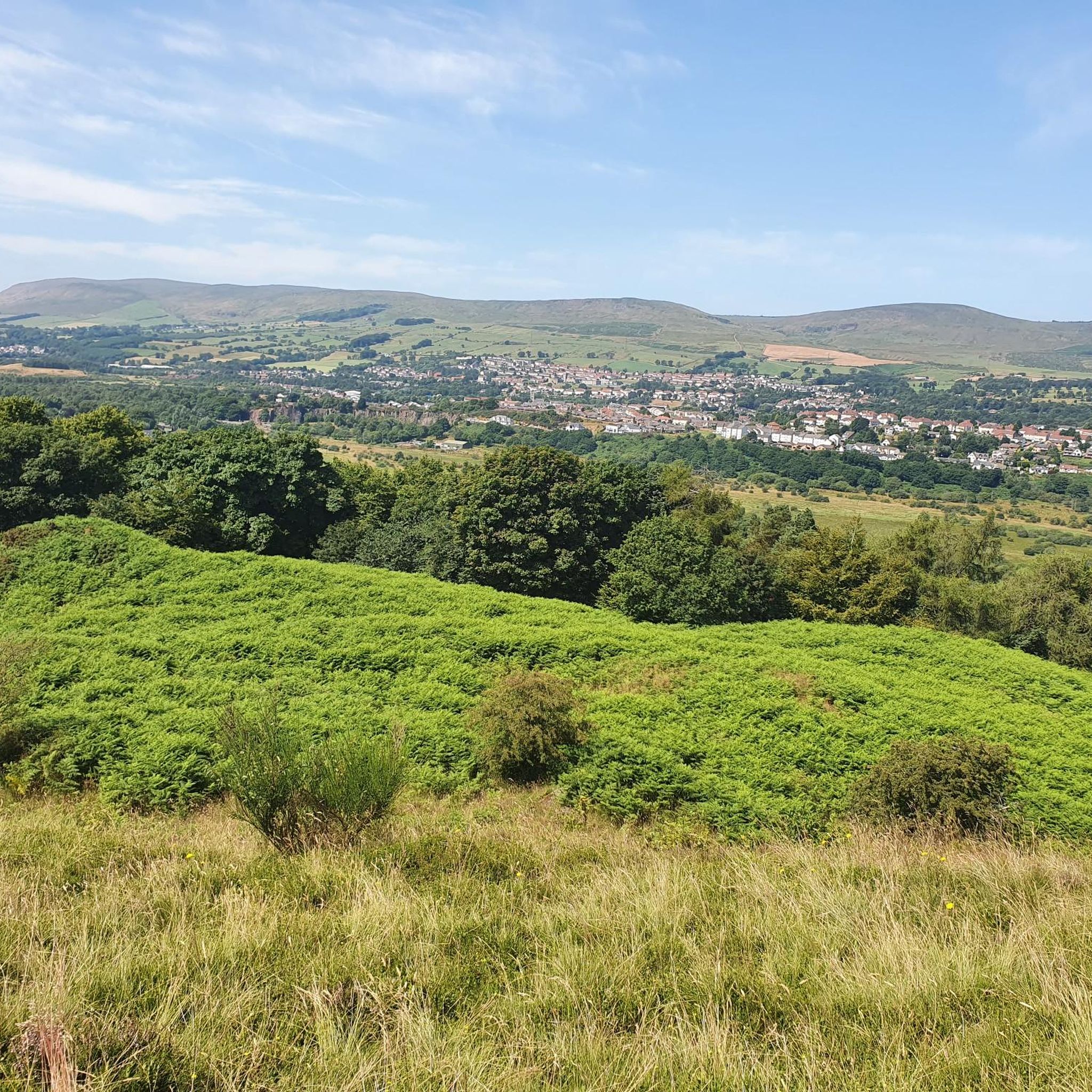
Home to a compatriot of William Wallace. Very interesting Earthworks from 13th century fort with commanding views across the Carron Valley and towards Meikle Bin.
0
0

A gravel track that follows the trail of the Katrine Aqueducts that brings Glasgow's drinking water all the way from the Trossachs to Milngavie. Look out for exposed sections of the aqueducts as you travel along, one section in particular has a date marker of 1892 visible from the track. Stunning views over the Kilpatrick Hills and you can always drop down to Glengoyne distillery for a wee dram on the way past!
1
0

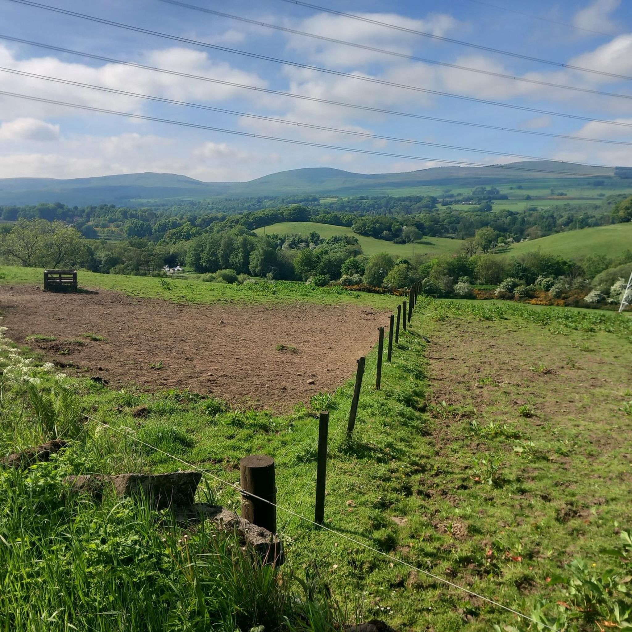
Hilly and forests all around, up and down contour of the land. Some of the views are worthy of riding around this location. There are plenty of parking areas along the main road towards the reservoir. There is also a large house that offers accommodation on the north west side of the reservoir. This is a tranquil location just a few miles from Stirling
0
0

Once you get out of Kirkie, the path is quiet. It's a lovely cycle with lots to see.
0
0

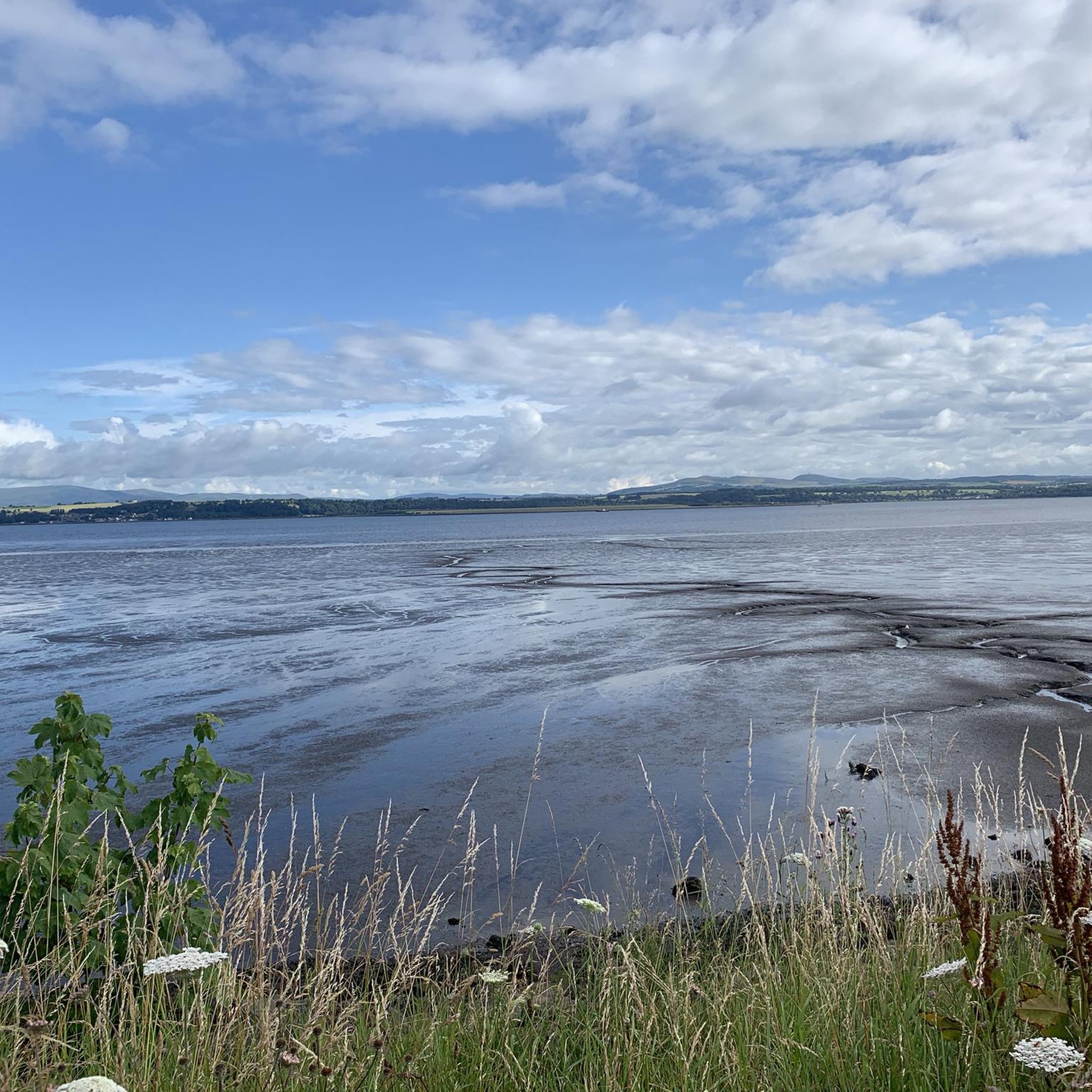
Carron Valley Reservoir is a scenic man-made lake in central Scotland, located about 30 miles northeast of Glasgow. It was built in the early 1930s as part of a hydroelectric power project. A flat tarmacked road follows the length of the reservoir and makes for a very scenic cycle.
1
0

if you have thinner bike wheels just look out for nature's speed bumps
0
0
Frequently Asked Questions
What is the best time of year for gravel biking in Seafar And Ravenswood?
The region offers enjoyable gravel biking throughout much of the year. Spring and autumn provide pleasant temperatures and vibrant scenery. While winter biking is possible, be prepared for potentially wet and muddy conditions, especially on unpaved sections. Always check local weather forecasts before heading out.
Are there any beginner-friendly gravel bike routes in Seafar And Ravenswood?
The routes listed in this guide, such as Carron Valley Red Trail – Carron Valley Reservoir loop from River Carron, are generally rated as 'difficult' due to significant elevation gain and varied terrain. While there are no 'easy' routes specifically highlighted, the region does feature converted railway paths which tend to be smoother. Riders new to gravel biking might consider shorter sections of these paths or routes with less elevation.
What kind of terrain and conditions can I expect on gravel bike trails near Ravenswood?
Gravel bike trails in Seafar And Ravenswood feature a diverse landscape. You'll encounter a mix of surfaces, including converted railway paths, forest tracks, and more rugged sections through fells and along reservoirs. Expect varied gradients, from gentle inclines to challenging climbs, particularly on routes like Carron Valley Red Trail – Carron Reservoir Dam loop from Denny. Conditions can change with weather, so be prepared for mud, especially after rain.
Are there any family-friendly gravel biking options in Seafar And Ravenswood?
While many of the featured routes are challenging, families looking for a gentler experience might explore sections of the Strathkelvin Railway Path. This converted railway line offers a flatter, more accessible surface. For a full route, consider Strathkelvin Railway Path – Strathkelvin Railway Path loop from Blairhill, though its full length is rated difficult.
Where can I find parking for gravel biking trails in Seafar And Ravenswood?
Specific parking information varies by trailhead. Many routes, especially those starting from popular areas like the Tak Ma Doon Road Viewing and Picnic Area for the Tak-Ma-Doon Road – Campsie Fells Scenic Road loop, often have designated parking. It's advisable to check the individual route details on komoot for precise parking locations before your ride.
Are there any circular gravel bike routes in the Seafar And Ravenswood area?
Yes, many of the gravel bike routes in the region are designed as loops, offering a convenient way to explore without retracing your steps. Examples include the Carron Valley Red Trail – Carron Valley Reservoir loop from River Carron and the View from the Commondry – Old Drove Road loop from Kilsyth.
What interesting sights or landmarks can I see along the gravel bike trails?
The region offers several points of interest. You can cycle past the historic Croy Hill Roman Fort, experience the engineering marvel of the Falkirk Wheel, or enjoy the tranquil waters of Carron Valley Reservoir and Carron Reservoir Dam. The Strathkelvin Railway Path itself is a notable feature, offering a glimpse into the area's industrial past.
Are there any cafes or places to refuel near the gravel bike trails?
While specific cafes directly on every trail are not guaranteed, routes often pass through or near towns and villages where you can find amenities. For example, routes around Carron Valley and the Campsie Fells are within reach of local communities that offer refreshment stops. Planning your route with komoot allows you to identify potential stops along the way.
What do other gravel bikers enjoy most about Seafar And Ravenswood?
The komoot community highly rates the gravel biking in Seafar And Ravenswood, with an average score of 3.9 stars from 5 reviews. Riders often praise the diverse terrain, the challenging climbs, and the scenic beauty of the reservoir loops and fells. The variety of routes caters to those seeking a good workout amidst natural surroundings.
How many gravel bike trails are available in Seafar And Ravenswood?
There are 6 gravel bike trails detailed in this guide for the Seafar And Ravenswood area. These routes offer a range of distances and challenges, primarily catering to experienced riders with difficult ratings.
Can I reach the gravel bike trails using public transport?
Access to trailheads via public transport varies. Some routes may be accessible from nearby towns with bus or train connections, but direct access to more remote starting points can be limited. It's recommended to research public transport options to your chosen trailhead in advance, especially if you plan to bring your bike on public transport.
Most popular attractions around Seafar And Ravenswood

Get inspired with the komoot mobile app


Explore more
Browse the best Gravel rides in other regions.
