The best gravel rides around Moodiesburn
4.7
(3)
34
riders
9
rides
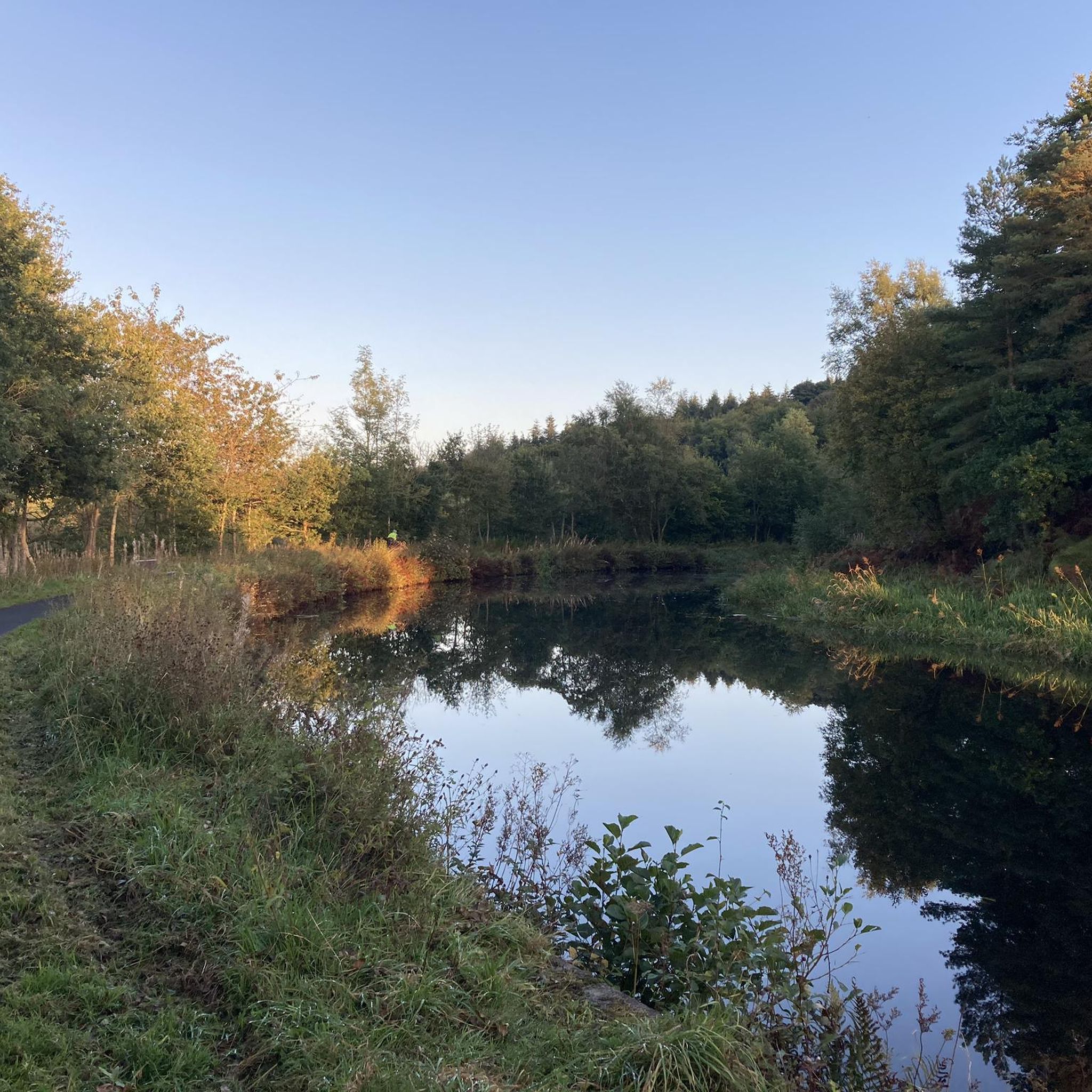
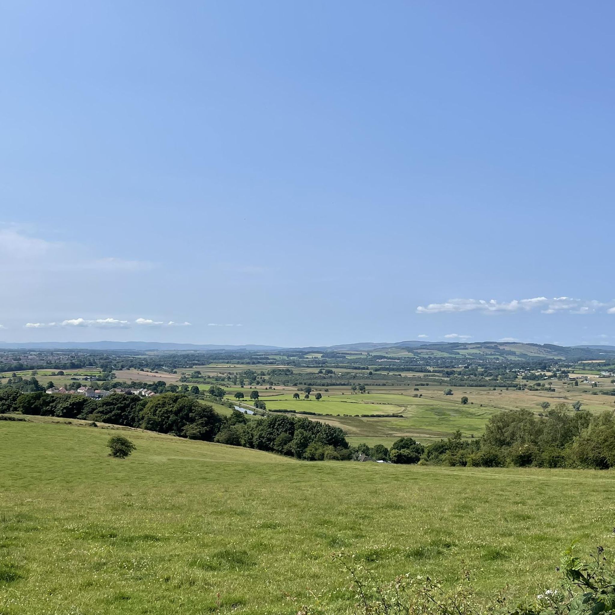
Gravel biking around Moodiesburn offers access to diverse terrain in North Lanarkshire, Scotland. The area features a mix of historical sites, canal towpaths, and woodlands, providing varied surfaces for cycling. Elevated viewpoints near Croy Hill Roman Fort offer extensive vistas, while the Forth and Clyde Canal Towpath presents sections with mixed paved and unpaved surfaces. The surrounding Scottish countryside provides a network of rural roads and forest tracks suitable for gravel biking explorations.
Best gravel bike trails around Moodiesburn
- The…
Last updated: July 3, 2026
3
riders
75.2km
05:33
1,490m
1,490m
Hard gravel ride. Very good fitness required. Mostly paved surfaces. Suitable for all skill levels.
5.0
(1)
6
riders
Hard gravel ride. Very good fitness required. Mostly paved surfaces. Suitable for all skill levels.

Sign up for free
4.0
(1)
4
riders
54.0km
03:10
430m
430m
Moderate gravel ride. Good fitness required. Mostly paved surfaces. Suitable for all skill levels.
5.0
(1)
5
riders
28.3km
01:48
260m
260m
Moderate gravel ride. Good fitness required. Mostly paved surfaces. Suitable for all skill levels.
2
riders
30.4km
01:46
170m
170m
Moderate gravel ride. Good fitness required. Mostly paved surfaces. Suitable for all skill levels.
Get access to more routes and recommendations from other explorers.
Sign up for free
Already have an account?
Our route recommendations are based on thousands of hikes, rides, and runs completed by other people on komoot.
Start today with a free account
Your next adventure awaits.
Login or Signup

Tips from the Community

Great way to get across Southern Scotland, nice and flat although some parts can get very bumpy with tree roots
0
1


A gravel track that follows the trail of the Katrine Aqueducts that brings Glasgow's drinking water all the way from the Trossachs to Milngavie. Look out for exposed sections of the aqueducts as you travel along, one section in particular has a date marker of 1892 visible from the track. Stunning views over the Kilpatrick Hills and you can always drop down to Glengoyne distillery for a wee dram on the way past!
1
0


Once you get out of Kirkie, the path is quiet. It's a lovely cycle with lots to see.
0
0

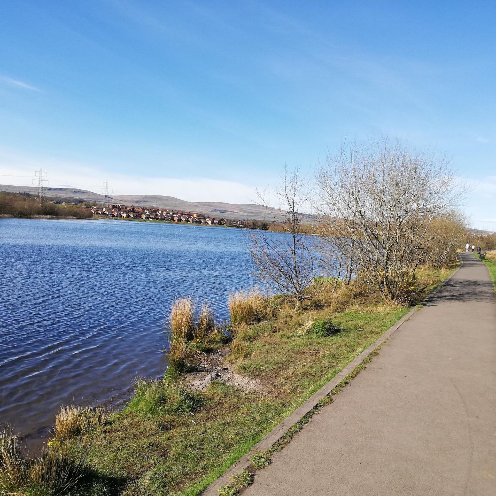
The trails around Bishop Loch can become quite boggy after rain so be prepared for some hike-a-bike sections. The scenery is beautiful though with abundant wildlife throughout the area.
1
0

Beautiful route, but quiet only in parts, there are some particularly challenging and dangerous intersections and roundabouts when there is heavy traffic.
0
0

Frequently Asked Questions
How many gravel bike trails are available around Moodiesburn?
There are over 15 gravel bike trails around Moodiesburn, offering a range of experiences from moderate to difficult. These routes are highly rated by the komoot community, with an average score of 4.8 stars.
What kind of terrain can I expect on gravel bike trails near Moodiesburn?
The terrain around Moodiesburn is diverse, featuring a mix of historical sites, canal towpaths, and woodlands. You'll encounter varied surfaces, from paved sections to unpaved rural roads and forest tracks, characteristic of the wider Scottish countryside. Some routes, like those near Croy Hill Roman Fort, also offer elevated viewpoints with challenging climbs.
Are there any routes suitable for beginners or those looking for a moderate ride?
Yes, Moodiesburn offers several moderate routes. For example, the Forth and Clyde Canal – View of Auchinstarry Marina loop from Lenzie is a moderate 17.6-mile trail that follows canal towpaths and natural areas, typically completed in about 2 hours 10 minutes. Another moderate option is the Bishop Loch – Lochend Loch loop from Lenzie, covering 18.9 miles.
Where can I find challenging gravel bike trails for experienced riders?
For experienced riders seeking a challenge, Moodiesburn has several difficult routes. The View from the Commondry – Old Drove Road loop from Kilsyth is a demanding 46.5-mile trail with significant elevation gain and elevated viewpoints. Another difficult option is the Strathkelvin Railway Path – Strathkelvin Railway Path loop from Blairhill, a 50.3-mile path following a former railway line.
Are there gravel routes that pass by historical sites or offer scenic viewpoints?
Absolutely. The area is rich in history and natural beauty. You can find routes that lead to historical sites like the Croy Hill Roman Fort, part of the Antonine Wall, which provides extensive vistas over the Kilsyth Hills and beyond. Many trails also offer scenic views along the Forth and Clyde Canal Towpath.
Can I find circular gravel bike routes around Moodiesburn?
Yes, many of the gravel bike routes around Moodiesburn are designed as loops, allowing you to start and finish at the same point. Examples include the Forth and Clyde Canal – View of Auchinstarry Marina loop from Lenzie and the Forth and Clyde Canal Towpath – Craigallian Loch loop from Lenzie, both offering varied scenery on circular paths.
What natural features or attractions can I see along the gravel trails?
Beyond the varied landscapes, you can explore several natural attractions. Routes often pass by lochs such as Lochend Loch, Fannyside Lochs, and Banton Loch. The Forth and Clyde Canal Towpath itself is a significant natural and historical feature, offering pleasant waterside cycling.
Is Moodiesburn suitable for family-friendly gravel biking?
While specific family-friendly routes are not explicitly highlighted, the presence of canal towpaths and woodlands suggests that some sections could be suitable for families, especially those with older children comfortable with mixed surfaces. It's advisable to check the difficulty and length of individual routes, focusing on moderate options, to ensure they align with your family's abilities.
What is the best time of year for gravel biking in Moodiesburn?
The Scottish weather can be unpredictable, but generally, late spring to early autumn (May to September) offers the most favorable conditions for gravel biking in Moodiesburn, with milder temperatures and longer daylight hours. However, the varied terrain means routes can be enjoyed year-round, with appropriate gear for colder or wetter conditions.
Are there places to stop for refreshments or food near the gravel trails?
Moodiesburn and its surrounding towns offer various amenities. While specific cafes directly on every trail are not guaranteed, you'll find options in nearby villages and towns. For instance, the Drygate Brewing Co. is an attraction in Glasgow, accessible from some longer routes, offering a place to refuel.
What do other gravel bikers enjoy most about the routes in Moodiesburn?
The routes in Moodiesburn are highly rated by the komoot community, with an average score of 4.8 stars from over 5 reviews. Gravel bikers often praise the diverse terrain, the blend of historical exploration with natural scenery, and the sense of adventure offered by the mixed-surface routes, particularly those along the canal towpaths and through woodlands.
How can I access the gravel trails using public transport?
Moodiesburn is located northeast of Glasgow, and public transport options are available to reach the general area. Many trailheads are accessible from nearby towns like Lenzie or Kilsyth, which may have bus or train connections. It's recommended to check local public transport schedules and routes to plan your journey to specific starting points.
Where can I park my car when going gravel biking in Moodiesburn?
Parking facilities are typically available in the villages and towns surrounding Moodiesburn, such as Lenzie, Kilsyth, or Blairhill, which serve as common starting points for many routes. Always check local signage for parking regulations and availability before leaving your vehicle.
Most popular attractions around Moodiesburn

Get inspired with the komoot mobile app


Explore more
Browse the best Gravel rides in other regions.
